Torrey Pines State Park Extension

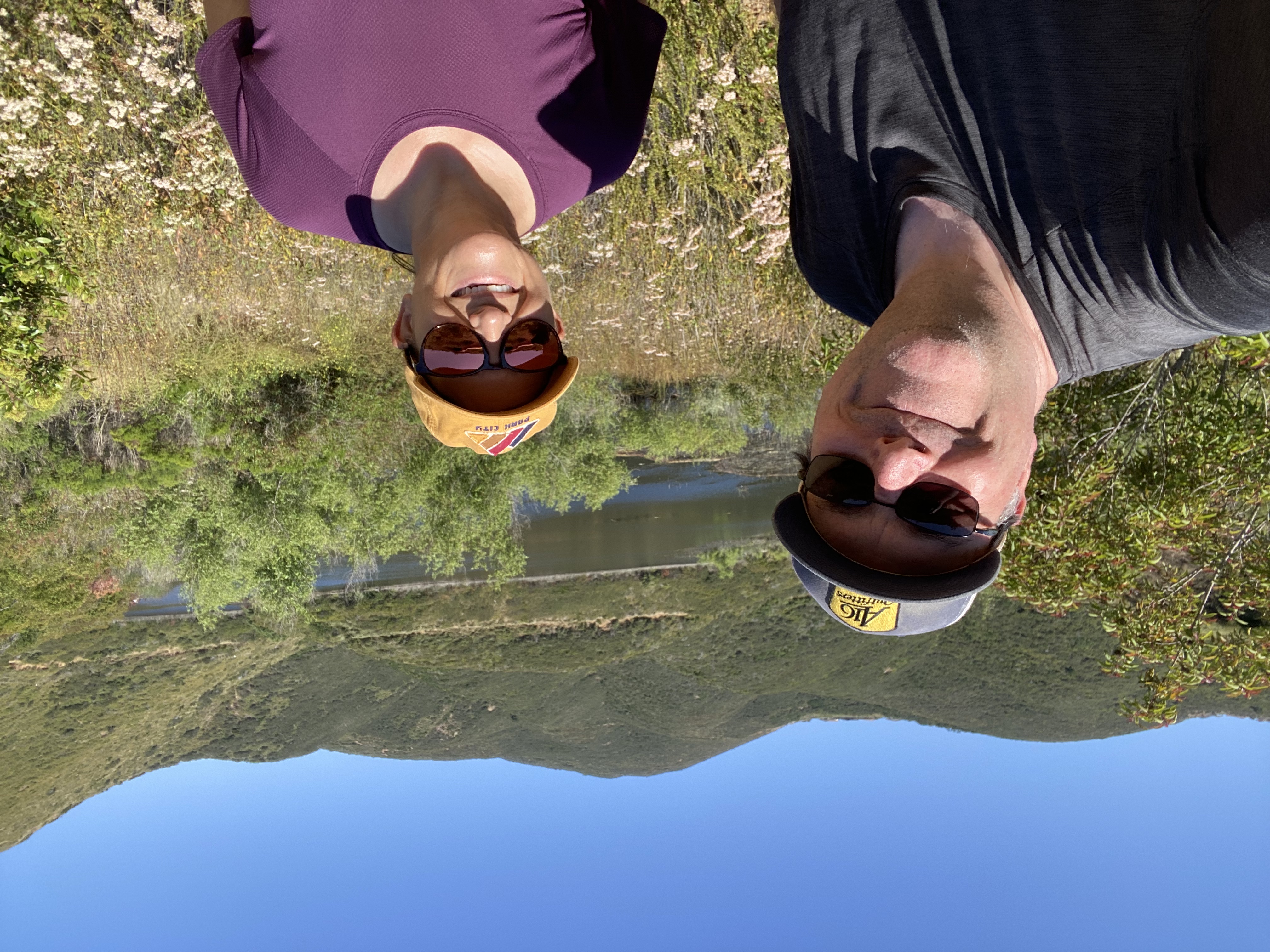
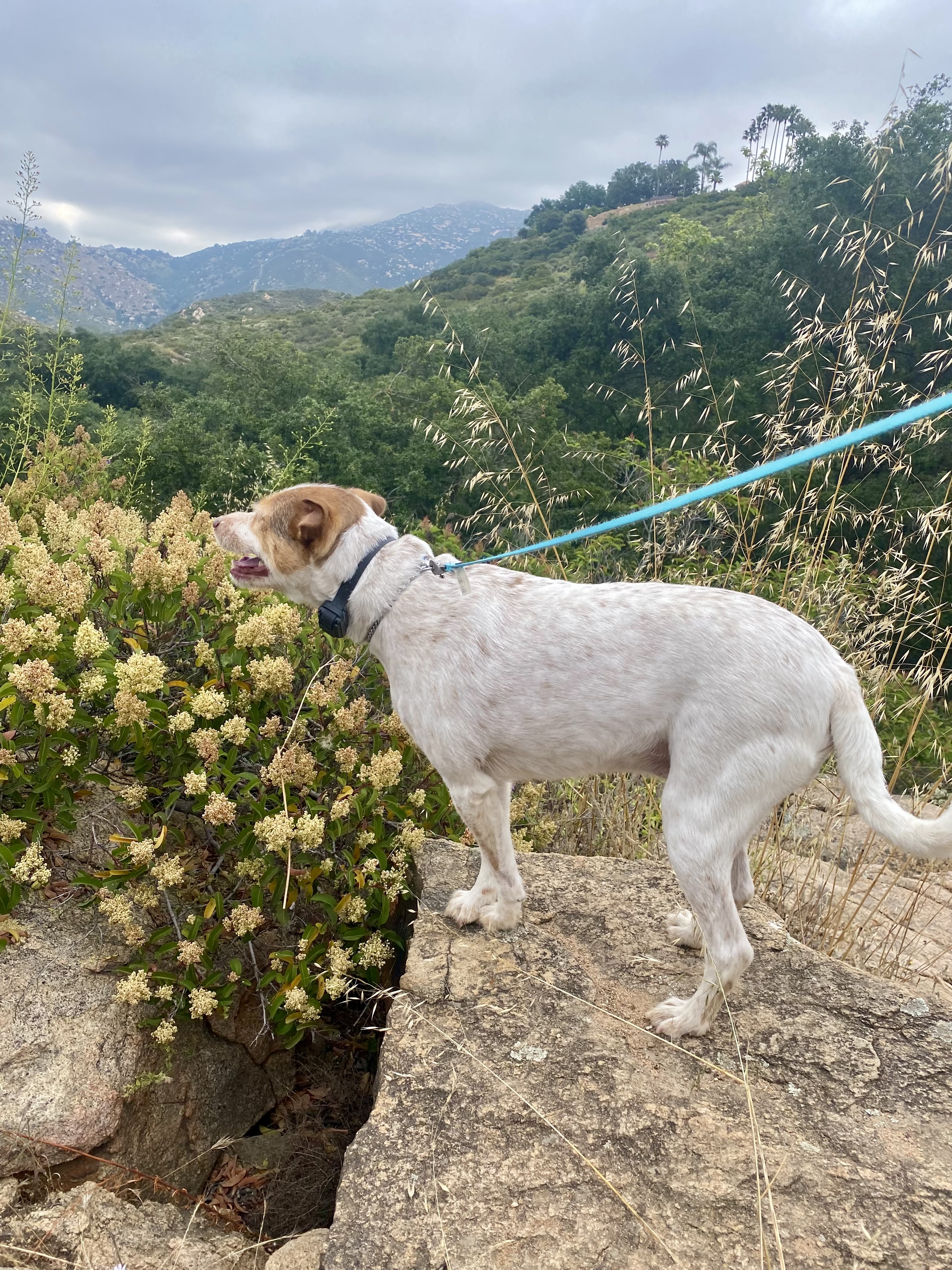
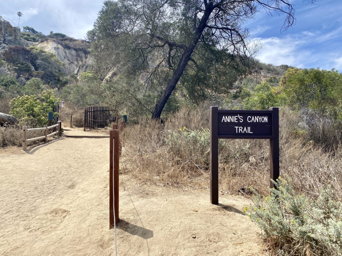
I was able to convince Susie Kara to join me for a before-work hike, even though she had the day off. We settled on doing a loop through the Torrey Pines State Park Extension. Neither one of us had hiked it in a few years, so it was time to visit it again. As I got to the Gully Trailhead, the parking area was blocked off, probably due to the construction underway at the school next to it. Thankfully there was some street parking and it was early. I got some pre-hike stretching in, something I need to be more mindful of before she pulled up behind me. We decided to do the Red Roost loop first, to warm up our legs and technically hit the high point. It had been a while since we hiked together, so we had some catching up to do.

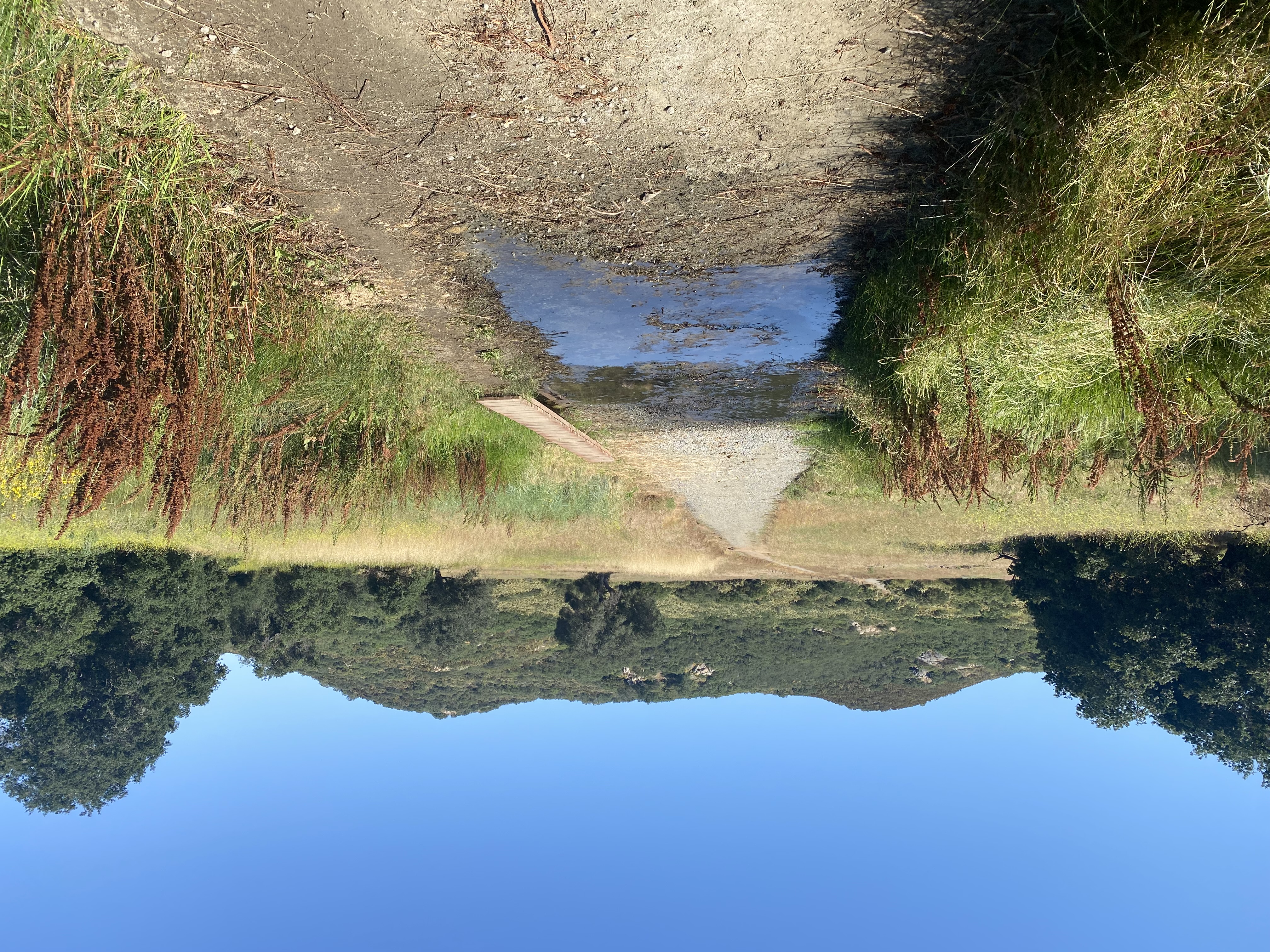
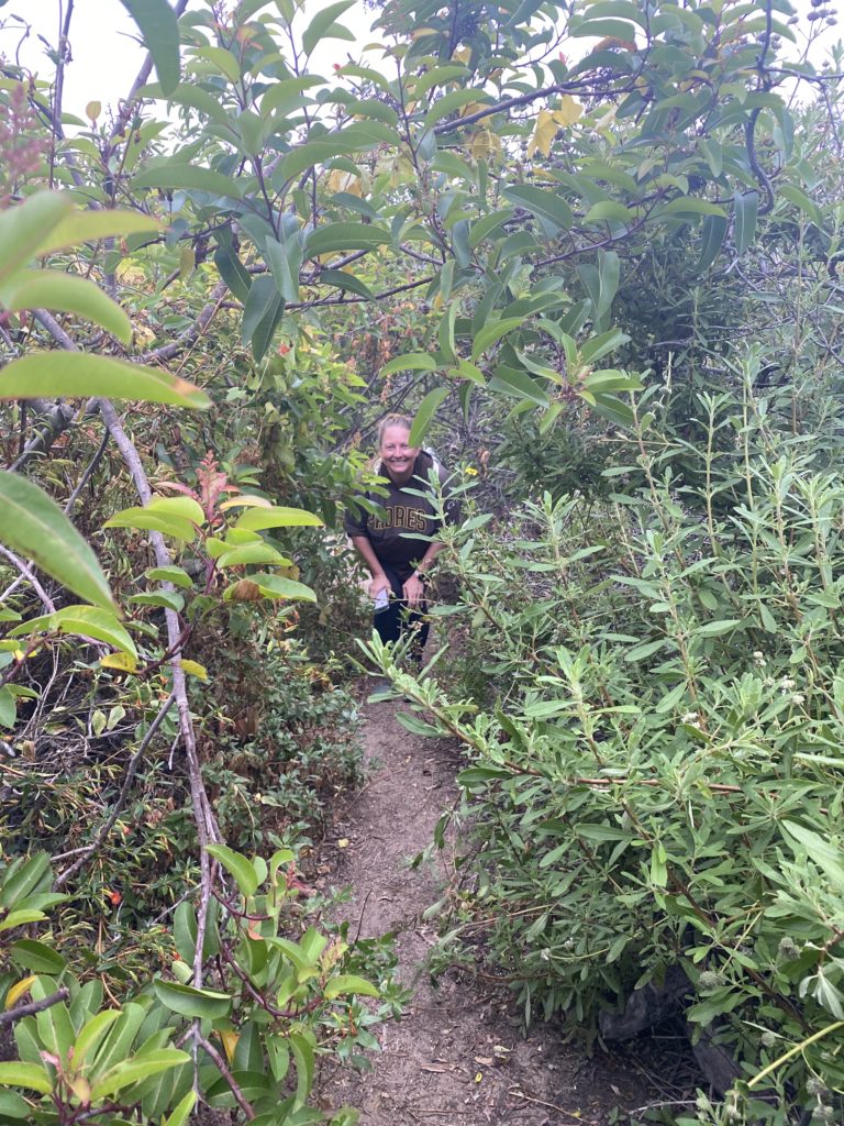
After the loop, we took the Gully Trail down. The low clouds made the hike a bit on the damp side, and the middle section of this trail was a tad overgrown.

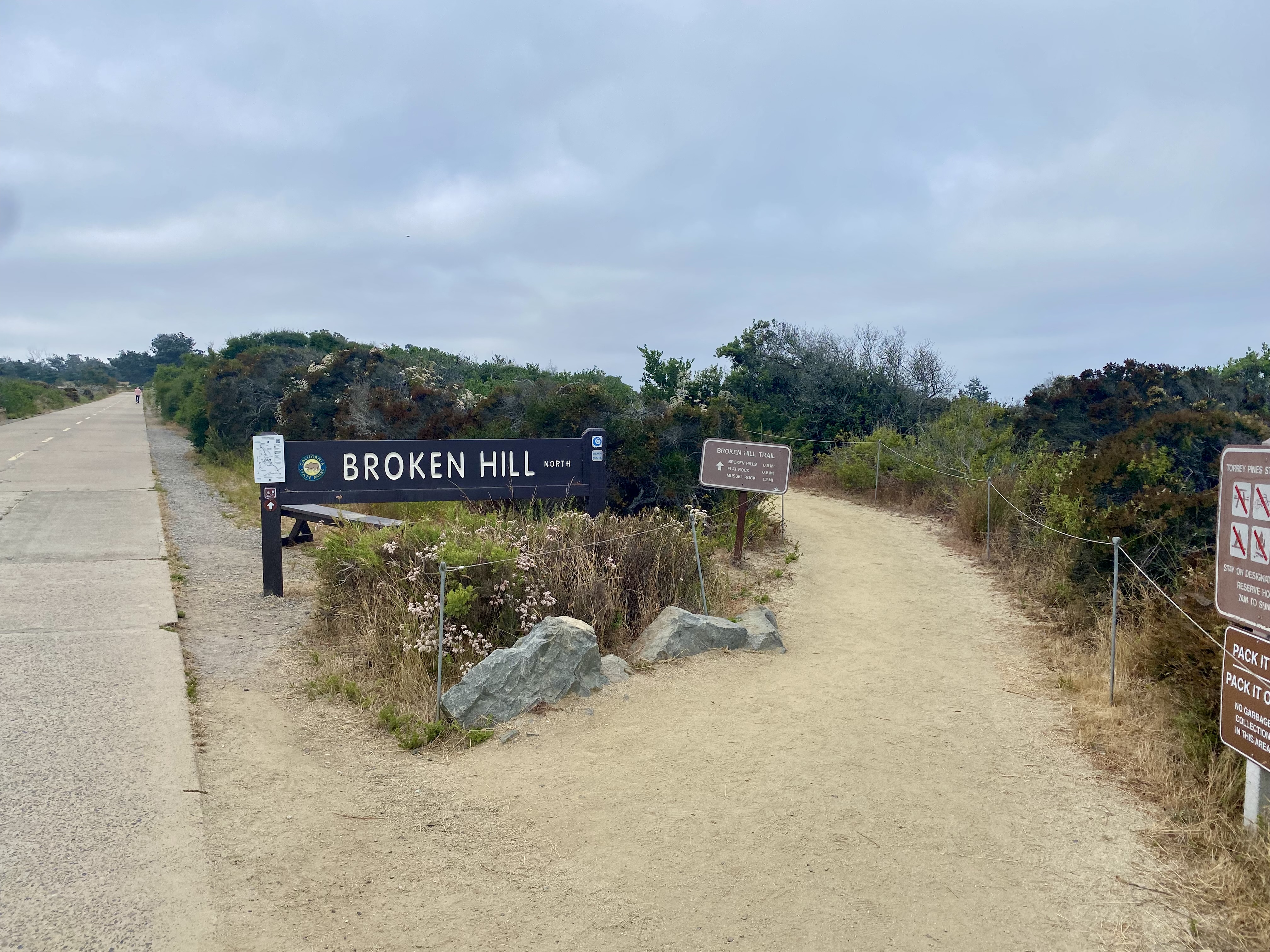
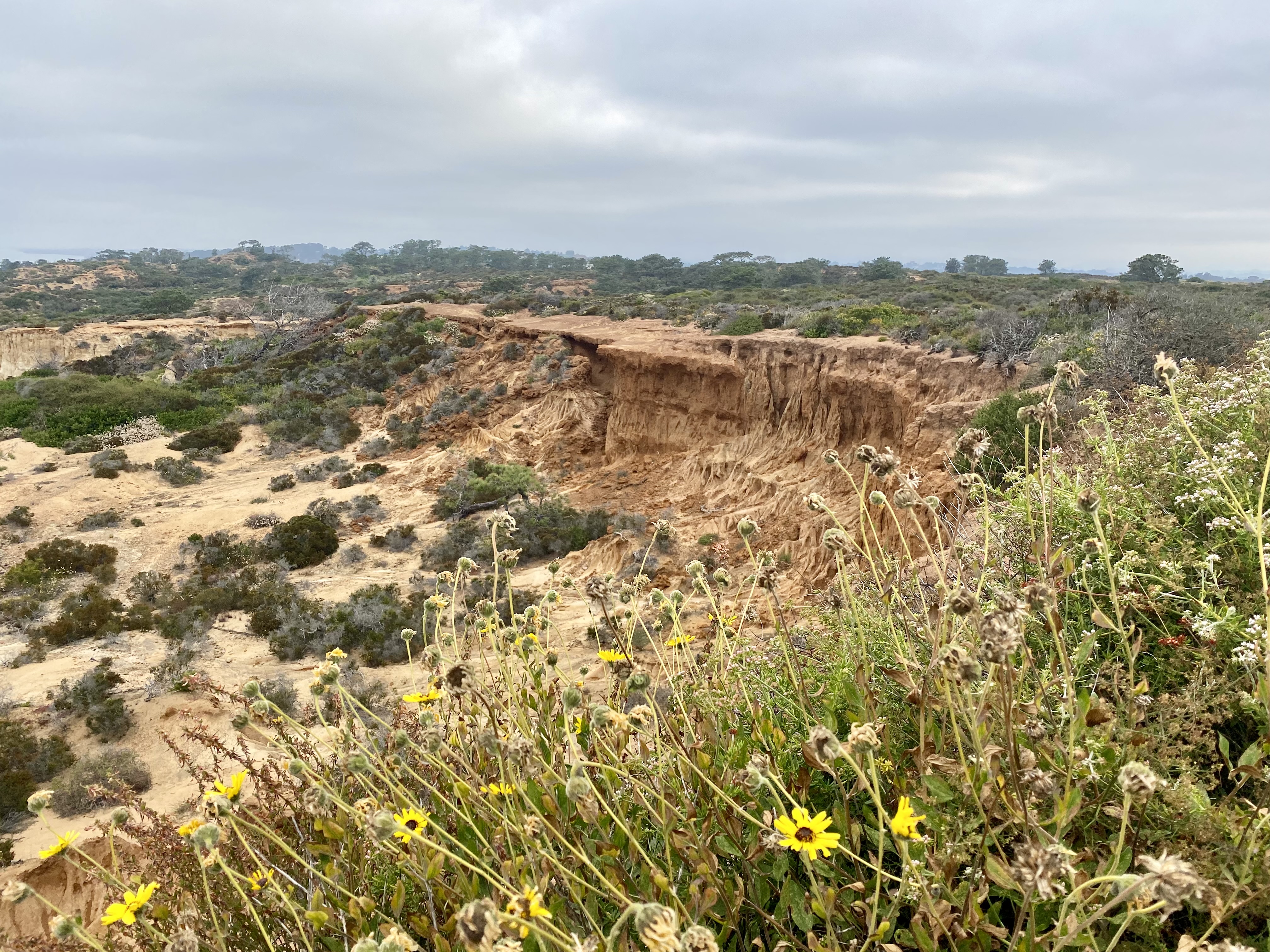
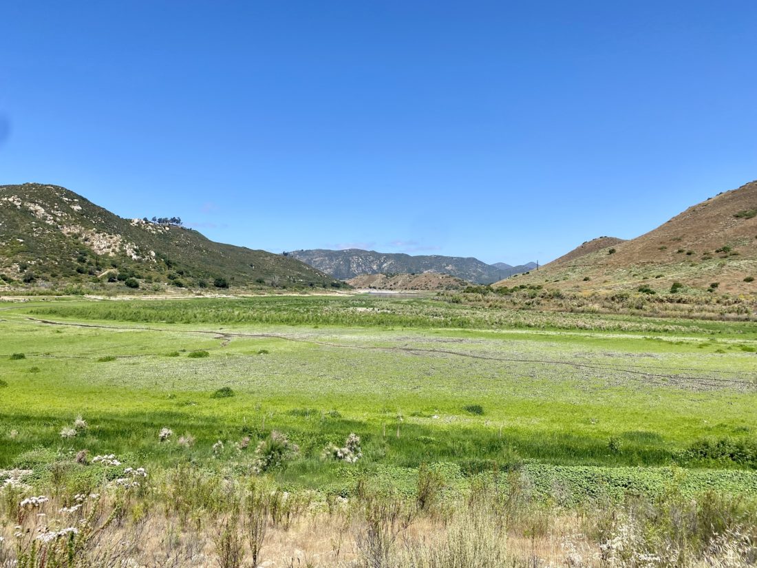
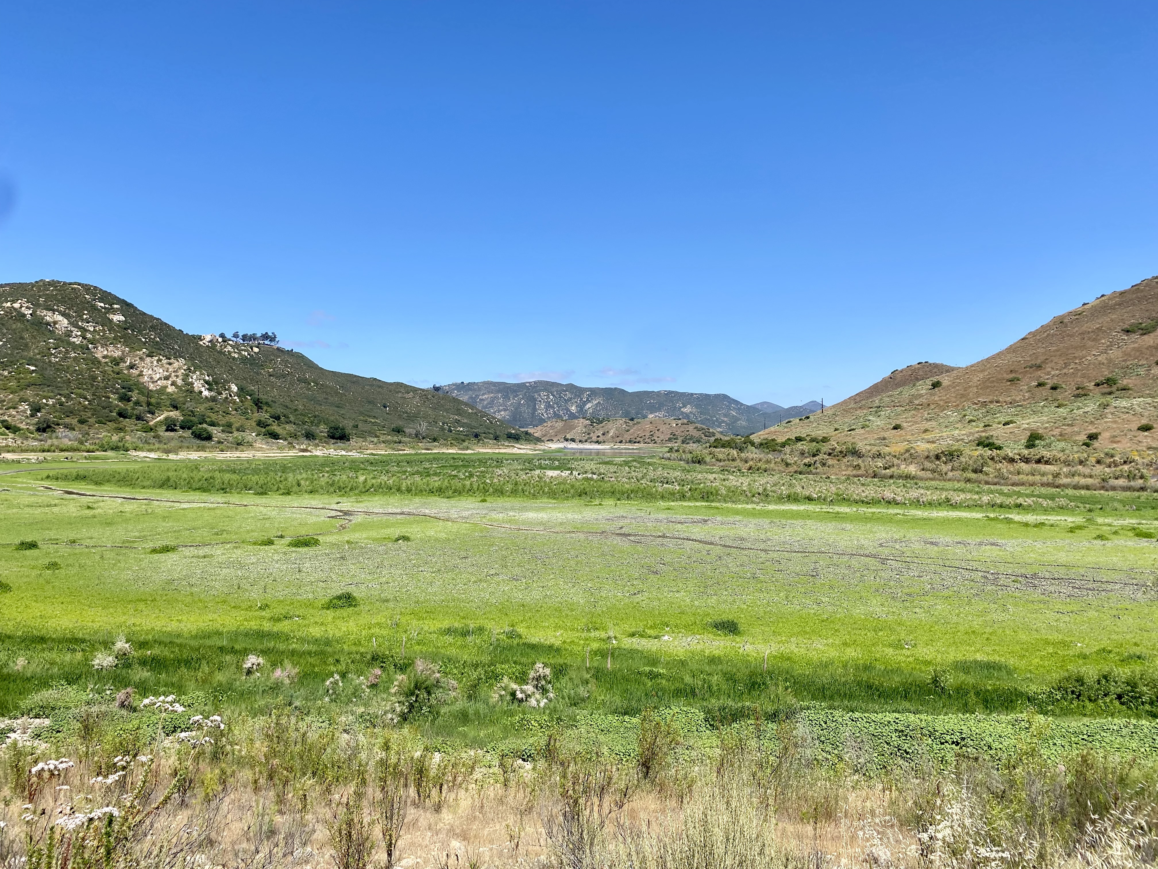
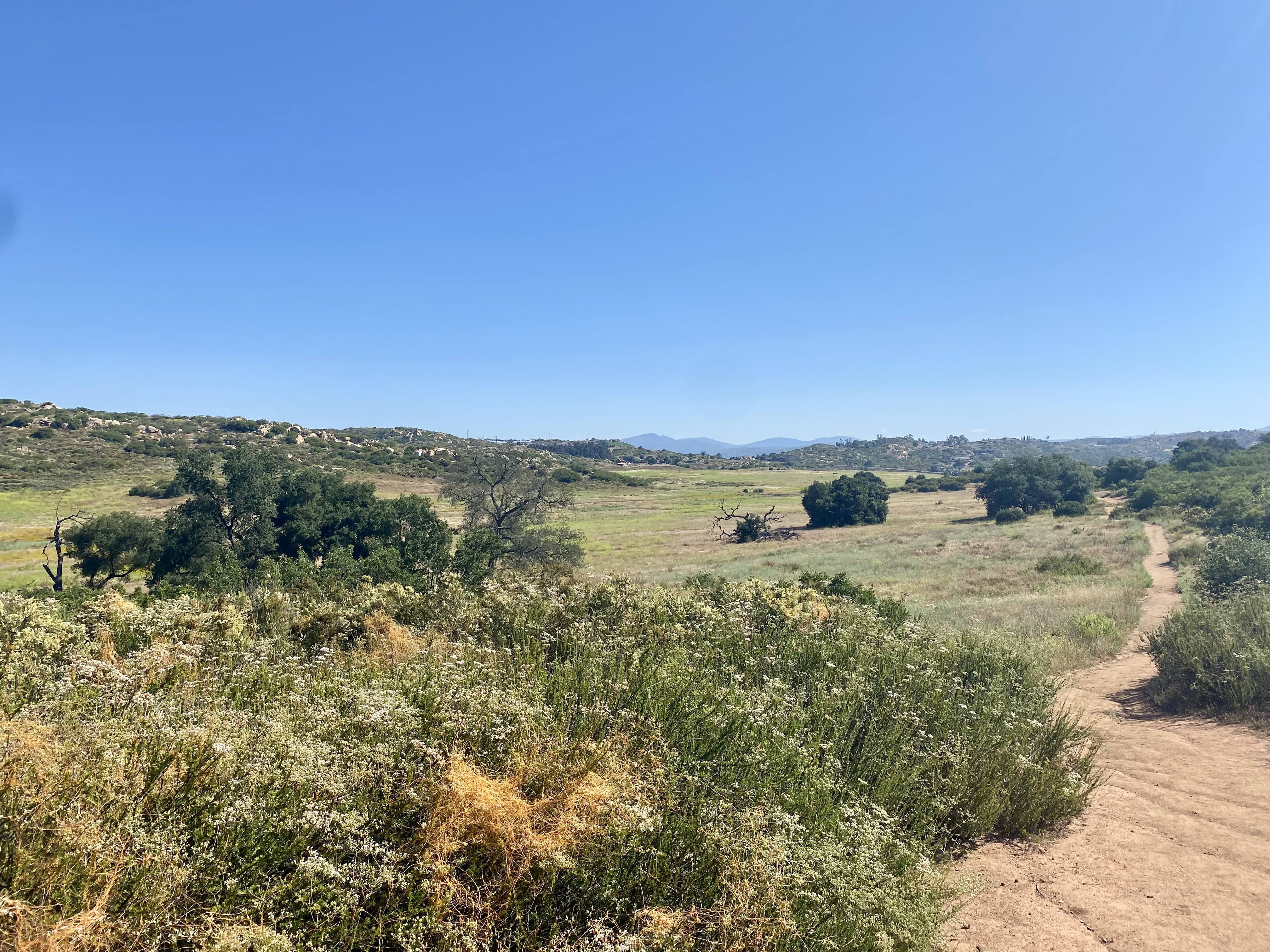
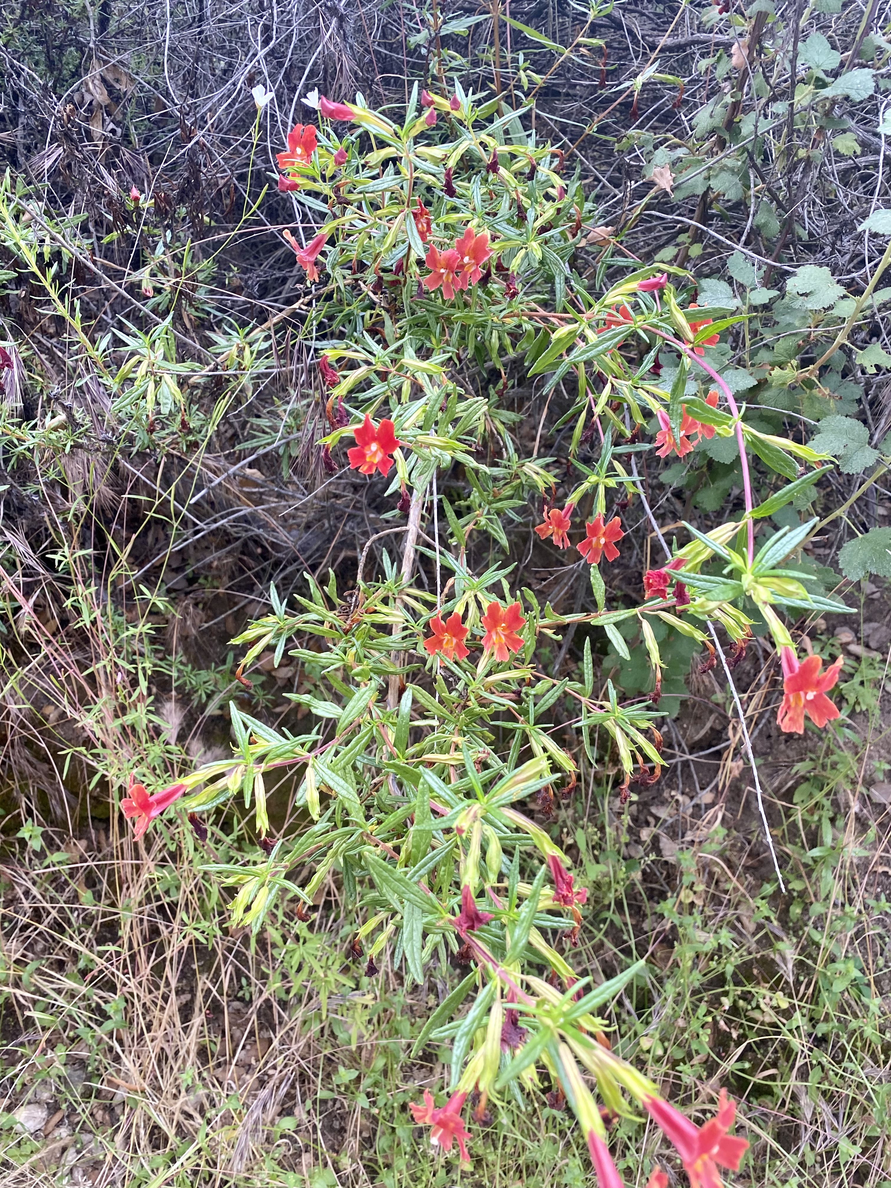
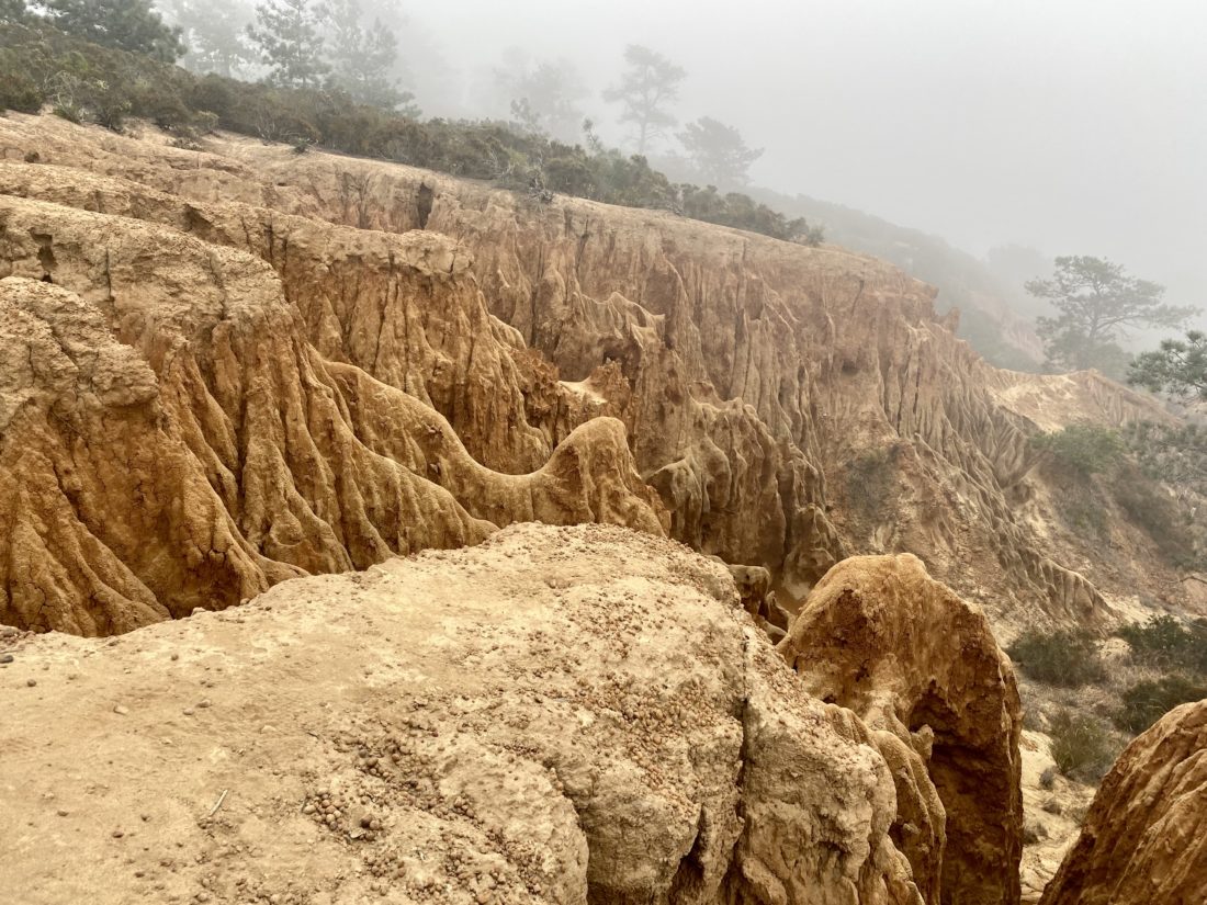
Once we reached the gully, we turned north and began making our way up. From there, we turned to the west to make the short climb to the West Ridge overlook. With the low marine layer, not much of a view was to be had. We retraced our route, passing only the second person thus far. Our next stop was the D.A.R. Trail, which seemed appropriate given it was the day before July 4th. 

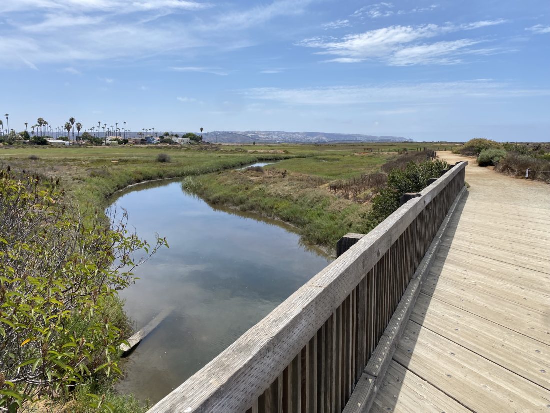
From there we continued northward until we reached the city streets and worked our way back to our cars. We said our goodbyes, as I had a work call in ten minutes. All in all, another good test of the foot at just about 3 miles of hiking.


Buy Me a Coffee at ko-fi.com

I am an avid peak bagger, sometimes backpacker, and former sea kayaker living in San Diego. I am the co-author of Urban Trails: San Diego, coming in Spring 2026!

In 2019, I became the third person to complete the San Diego 100 Peak Challenge. Not stopping with that accomplishment, I set my sights on the harder San Diego Sierra Club 100 Peak list, which I completed in 2021. In addition, I have conquered several Six-Pack of Peaks challenges (SoCal, San Diego, Central Coast, and both the Arizona-Winter and Arizona-Summer).

I am looking forward to exploring new summits and new adventures across the southwest. 

Torrey Pines – Broken Hill Overlook

Decided to try to test my recovering foot with a bit more distance, but more importantly, some actual elevation gain. So, with that in mind, I decided to tackle Torrey Pines this morning. Found parking along the coast, grabbed my gear, and set off. The skies were still overcast, but that was fine by me. I began my climb up the road with a bit of apprehension, but as I made my way up, the foot felt pretty good.  An occasional biker or runner would pass by, but for the most part, I had the route to myself. As I neared the top, I climbed the stairs to the official high point for the state park, moved off the dirt covering the benchmark, and happily took my photo. 

I continued cruising south toward Broken Hill Overlook. I realized in all my years living in San Diego, I don’t think I’ve ever explored this part of Torrey Pines. Shameful, I know. I turned off the road and onto a very well-groomed dirt trail. 

Several bridges crossed now dry vernal pools as I headed westward toward the overlook. After a couple of junctions, I soon came upon the overlook.

The view was stunning. The sandstone formations, the Pacific Ocean, and some wildflowers are still in bloom. Since it was a work day, I did not linger too long and retraced my steps. The next test for my foot was coming up—the descent. 

The park had begun to come alive with many more people enjoying the trails. I made my way back down to the coast, and the foot was feeling pretty good. However, the real test will be later in the day, and how my foot feels then. But for now, I was really happy with what I just did. All told I hiked 4.1 miles with 460 feet of gain. While I was not purposely looking at my time, it wasn’t too bad either. 


Buy Me a Coffee at ko-fi.com

I am an avid peak bagger, sometimes backpacker, and former sea kayaker living in San Diego. I am the co-author of Urban Trails: San Diego, coming in Spring 2026!

In 2019, I became the third person to complete the San Diego 100 Peak Challenge. Not stopping with that accomplishment, I set my sights on the harder San Diego Sierra Club 100 Peak list, which I completed in 2021. In addition, I have conquered several Six-Pack of Peaks challenges (SoCal, San Diego, Central Coast, and both the Arizona-Winter and Arizona-Summer).

I am looking forward to exploring new summits and new adventures across the southwest. 

South Lake

I wanted to get in a quick late morning hike to continue my rehab from my foot surgery. When I was looking at options for new places to explore, my friend Connie suggested that I might like doing the loop around South Lake in San Marcos. This trail just recently opened, so it was certainly one I wanted to explore.

Connie and I met in the parking lot and quickly set off. One thing to note, there are no bathrooms at this trailhead, so plan accordingly. The access to the trail is from sunrise to sunset. After passing through the gate, we opted to hike the loop clockwise. The trail almost immediately splits into an upper path and a lower path. We took the high road… 

We cruised around the well-groomed trail, catching up with each other, and stopping to take a quick photo or two. After about a mile, we were back at our starting point. The foot was feeling good, so we decided to do another loop, and this time we took the lower trail. This took us past the various folks trying their luck fishing in the lake. The trail rejoined the upper trail after about 1/4 mile. 

After our second loop, we decided to call it as we each had stuff to attend to and said goodbye. This was a nice little local trail.


Buy Me a Coffee at ko-fi.com

I am an avid peak bagger, sometimes backpacker, and former sea kayaker living in San Diego. I am the co-author of Urban Trails: San Diego, coming in Spring 2026!

In 2019, I became the third person to complete the San Diego 100 Peak Challenge. Not stopping with that accomplishment, I set my sights on the harder San Diego Sierra Club 100 Peak list, which I completed in 2021. In addition, I have conquered several Six-Pack of Peaks challenges (SoCal, San Diego, Central Coast, and both the Arizona-Winter and Arizona-Summer).

I am looking forward to exploring new summits and new adventures across the southwest. 

Bernardo Bay

Today’s adventure was a short loop along the shores of Lake Hodges. About 8 cars were in the parking lot at the Piedras Pintadas trailhead. I grabbed my gear and headed west along the wide trail. Along this initial portion, interpretive panels tell the story of native peoples that lived here.

The trail forks as it reaches the now-dry lakeshore (the lake’s water levels had been lowered for repairs to the dam), and I stayed to the right. The trail would now follow the shoreline for most of the rest of the way.

Various birds could be seen along the empty lake bed. Bernardo Mountain stood high above it to the north. My foot certainly was not ready to climb to its summit.

There were a few others out enjoying the trail, but for the most part, I had the trail to myself. As the trail turned eastwards, I could spot the pedestrian bridge off in the distance. Soon the trail ended at the bike path that runs along the road, and after a short climb up, I returned to my car. A nice 2.1-mile loop was perfect to keep working my foot.


Buy Me a Coffee at ko-fi.com

I am an avid peak bagger, sometimes backpacker, and former sea kayaker living in San Diego. I am the co-author of Urban Trails: San Diego, coming in Spring 2026!

In 2019, I became the third person to complete the San Diego 100 Peak Challenge. Not stopping with that accomplishment, I set my sights on the harder San Diego Sierra Club 100 Peak list, which I completed in 2021. In addition, I have conquered several Six-Pack of Peaks challenges (SoCal, San Diego, Central Coast, and both the Arizona-Winter and Arizona-Summer).

I am looking forward to exploring new summits and new adventures across the southwest. 

Barnett Ranch Open Space Preserve

Decided to continue my foot rehab with another mild hike. This time I opted to explore the Barnett Ranch Open Space Preserve out near Ramona. I had driven past it several times en route to Mt. Gower or some other peak. After driving past the hoards of cars parked at the trailhead for Iron Mountain and Woodson, I pulled into the parking lot. A park ranger had just pulled in, I chatted with him for a bit before setting off.

The sun was shining, something that hasn’t happened too much recently. Thankfully a light breeze kept things pleasant. The trail is mostly a loop around the edge of the preserve.

Wildflowers were still in bloom throughout. The trail is initially a paved road that continues on to some properties off to the north and then continues on a proper dirt trail. I soon found myself taking a quick break next to a small pond before continuing on the trail, and arriving at a small water crossing. I began a short climb toward the southern end of the preserve which gave me some sweeping views of the area.

The trail would follow the small ups and downs along the hills. There are two connector trails that would return me back to the trailhead and I opted for the closest, mostly since it also is the trail to the overlooks to the south. I did not want to push my foot since I still needed to drive home so that portion of the preserve would have to wait for another trip.

Since I was out near Ramona, I decided to stop in and visit Kit Fox Outfitters. Colin was teaching a class, so I chatted with Stephanie a bit. Once I am ready to start backpacking again, going to have to take a closer look at their store. 🙂


Buy Me a Coffee at ko-fi.com

I am an avid peak bagger, sometimes backpacker, and former sea kayaker living in San Diego. I am the co-author of Urban Trails: San Diego, coming in Spring 2026!

In 2019, I became the third person to complete the San Diego 100 Peak Challenge. Not stopping with that accomplishment, I set my sights on the harder San Diego Sierra Club 100 Peak list, which I completed in 2021. In addition, I have conquered several Six-Pack of Peaks challenges (SoCal, San Diego, Central Coast, and both the Arizona-Winter and Arizona-Summer).

I am looking forward to exploring new summits and new adventures across the southwest. 

Blue Sky Ecological Reserve

It has been seven weeks since the surgery on my foot and I finally felt ready to try something more than a walk around the neighborhood. Also, my custom orthotics arrived, so I could trim them and insert them into my hiking boots. While I was recovering, I mapped out a list of hikes that would be relatively flat, somewhat interesting, and between 2-6 miles in length. I opted to do a portion of the trail in the Blue Sky Ecological Preserve. I certainly wasn’t going to make the climb up to Lake Ramona, but the out-and-back to the start of the climb seemed just what I needed to attempt.

Joining me on this sojourn was my lovely wife and our dog. We pulled into a mostly empty parking lot under the grey morning sky and set off down the wide trail.

I have hiked this trail before but always turn onto the connector trail that climbs up to Lake Poway. Today’s plan was to keep going eastward until the trail makes its turn to the north.

A few other hikers passed us as we made our way past a few remaining flowers that dotted each side. We passed the fork to the Creekside trail, but that trail doesn’t allow dogs, so we stayed on the main trail. Signs are placed along the route, letting visitors know what various trees and plants are.

Soon we reached the turnaround point, just past three picnic benches. I considered bringing my breakfast along but opted not to.

We made our way back to the car, again passing a few more folks out for their morning workout. Just before we reached our starting point, I convinced my wife to let me take the Overlook trail instead. This trail has a short climb, but my foot handled it without issue. Soon we were back at the parking lot. Our hike clocked in at 2.4 miles in just under 1 hour. The best part was the foot was feeling good. 


Buy Me a Coffee at ko-fi.com

I am an avid peak bagger, sometimes backpacker, and former sea kayaker living in San Diego. I am the co-author of Urban Trails: San Diego, coming in Spring 2026!

In 2019, I became the third person to complete the San Diego 100 Peak Challenge. Not stopping with that accomplishment, I set my sights on the harder San Diego Sierra Club 100 Peak list, which I completed in 2021. In addition, I have conquered several Six-Pack of Peaks challenges (SoCal, San Diego, Central Coast, and both the Arizona-Winter and Arizona-Summer).

I am looking forward to exploring new summits and new adventures across the southwest. 

Big Trees Trail

With the road closures due to the snow, we were a bit limited in where we could explore Sequoia National Park. In addition, my foot issue further compounded what we could do. Thankfully, the trail that follows Round Meadow was both accessible and something that I should be able to do. After visiting the Giant Forest Museum and exploring its exhibits, my wife and I crossed back over Generals Highway and turned right onto the paved path toward Round Meadow. 

We passed the junction to the Sunset Rock trail to our left and continued alongside the road. Soon, the trail departed from the road, passing a small meadow. After crossing Little Deer Creek, the path reached the accessible parking area. Since this trail is mostly flat and is paved, making it perfect for hikers looking for a nice stroll. In addition, there are some pit toilets are also located here.

Since this trail loops around the meadow, you are free to follow it either clockwise or counterclockwise. We opted to follow the trail counterclockwise. Interpretive signs dot the side of the trail, which gave us insight into the ecology and history of the area. Thankfully, the paved trail was mostly free of snow, but the boardwalk sections did still have a layer of snow on them. 

Once we had completed the loop, we started to head back toward our car. Instead of completely retracing our route, we opted to take the spur trail toward the Sunset Rock Trail. In doing so, we passed the Clara Barton Tree, one of only a few trees in the grove named after a woman. We crossed back over Little Deer Creek and continued south to the highway. All told this hike covered 1.4 miles with an elevation gain of 143 feet.


Buy Me a Coffee at ko-fi.com

I am an avid peak bagger, sometimes backpacker, and former sea kayaker living in San Diego. I am the co-author of Urban Trails: San Diego, coming in Spring 2026!

In 2019, I became the third person to complete the San Diego 100 Peak Challenge. Not stopping with that accomplishment, I set my sights on the harder San Diego Sierra Club 100 Peak list, which I completed in 2021. In addition, I have conquered several Six-Pack of Peaks challenges (SoCal, San Diego, Central Coast, and both the Arizona-Winter and Arizona-Summer).

I am looking forward to exploring new summits and new adventures across the southwest. 

Santee Lakes

As I continue to take it easy as I rehab my foot, I went looking for a short, but flat hike. I realized I had never explored Santee Lakes, and a stroll around them would fit my requirements perfectly. We found street parking and took the stairs down into the park. If you want to drive into the park formally, the city of Santee does charge a small fee. As soon as we reached the lake shore, a few geese were milling about.

We decided to follow the shoreline in a counter-clockwise manner. Along the grassy shoreline, we passed quite a few folks trying their luck at catching the catfish that swim in these waters. And judging by a few anglers, they seem to have some good success.

Picnic areas also dot the shoreline, and we passed folks celebrating a child’s first birthday, a corporate party, and a baby shower. The east side of the shore has quite a few trees along it, providing some nice shade. As we neared the camping area of Santee Lakes, we opted to take the path to the west side of the lakes and head back toward our car.

We followed the sidewalk as it worked its way along the western shores. Soon we reached the path that divided Lake 1 and Lake 2 and back to our starting point. I can see why this is a popular spot for folks to get their walking time in. Our stroll covered just over 2 miles in about 46 minutes, just the right distance for the foot.

Annie’s Canyon (via San Elijo Lagoon)

Was looking for another easy hike to test my foot’s recovery and remembered I had not hiked the new connector bridge under the I-5. Since the main lot was full, we parked across the street at the water district. We strolled along the wide path toward the freeway. Partway, a trail left the main path and took us closer to the lagoon for a while. Once back on the main path, we were almost at the bridge. Slung under the I-5, this nice wide bridge spans the lagoon and offers some nice views. We followed the trail to the right to continue on toward Annie’s Canyon. To our south we could see the trail continuing up and over the hill toward Solana Beach. Thankfully our destination was before that climb. A side trail took us off the paved section and toward the junction with the Annie’s Canyon trail.

Being a Sunday I knew this hike would be crowded. Anita, Ben and Rocky decided to relax on some logs under the shade of some eucalyptus  trees, while I opted to go explore the canyon.

I worked my way up through the narrow sandstone canyon until I reached a queue waiting to make their way through the narrowest of sections where the ladder is. After it was my turn, I enjoyed the view from the viewpoint before taking the switchbacks back to that lagoon’s edge. If you don’t feel like tackling the canyon or ladders, you can take this section of trail to enjoy the view. Just note, you cannot descend the ladder or exit through the canyon. Once back together we retraced our route then headed off to Seaside Market for some lunch.


Buy Me a Coffee at ko-fi.com

I am an avid peak bagger, sometimes backpacker, and former sea kayaker living in San Diego. I am the co-author of Urban Trails: San Diego, coming in Spring 2026!

In 2019, I became the third person to complete the San Diego 100 Peak Challenge. Not stopping with that accomplishment, I set my sights on the harder San Diego Sierra Club 100 Peak list, which I completed in 2021. In addition, I have conquered several Six-Pack of Peaks challenges (SoCal, San Diego, Central Coast, and both the Arizona-Winter and Arizona-Summer).

I am looking forward to exploring new summits and new adventures across the southwest. 

North McCoy Trail

Since I am still recovering from a bout of plantar fasciitis, we opted to try a nice short stroll along the McCoy Trail in the Tijuana Estuary. A few cars were parked in the parking lot when we arrived. We strolled over to the visitor center, but the ranger had stepped away for a few minutes, so we decided to just head out along the trail. The trail runs southward until it reaches one of the main channels of the estuary. A couple of benches line the trail, perfect for those who want to take a moment and enjoy the wildlife.

We returned to the visitor center, which was now open, and explored their exhibits for a bit. Then we again continued our tradition of heading into Imperial Beach for some fish tacos at Coronado Brewery.


Buy Me a Coffee at ko-fi.com

I am an avid peak bagger, sometimes backpacker, and former sea kayaker living in San Diego. I am the co-author of Urban Trails: San Diego, coming in Spring 2026!

In 2019, I became the third person to complete the San Diego 100 Peak Challenge. Not stopping with that accomplishment, I set my sights on the harder San Diego Sierra Club 100 Peak list, which I completed in 2021. In addition, I have conquered several Six-Pack of Peaks challenges (SoCal, San Diego, Central Coast, and both the Arizona-Winter and Arizona-Summer).

I am looking forward to exploring new summits and new adventures across the southwest.