Ryan Mountain

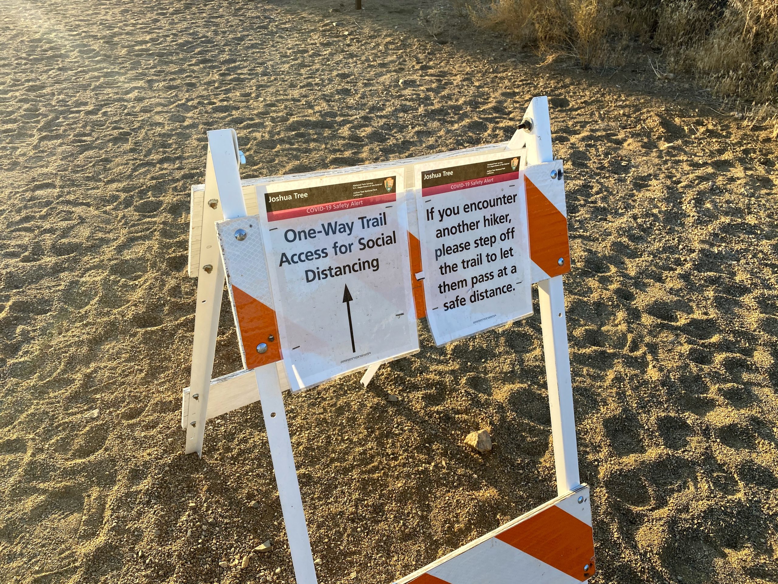
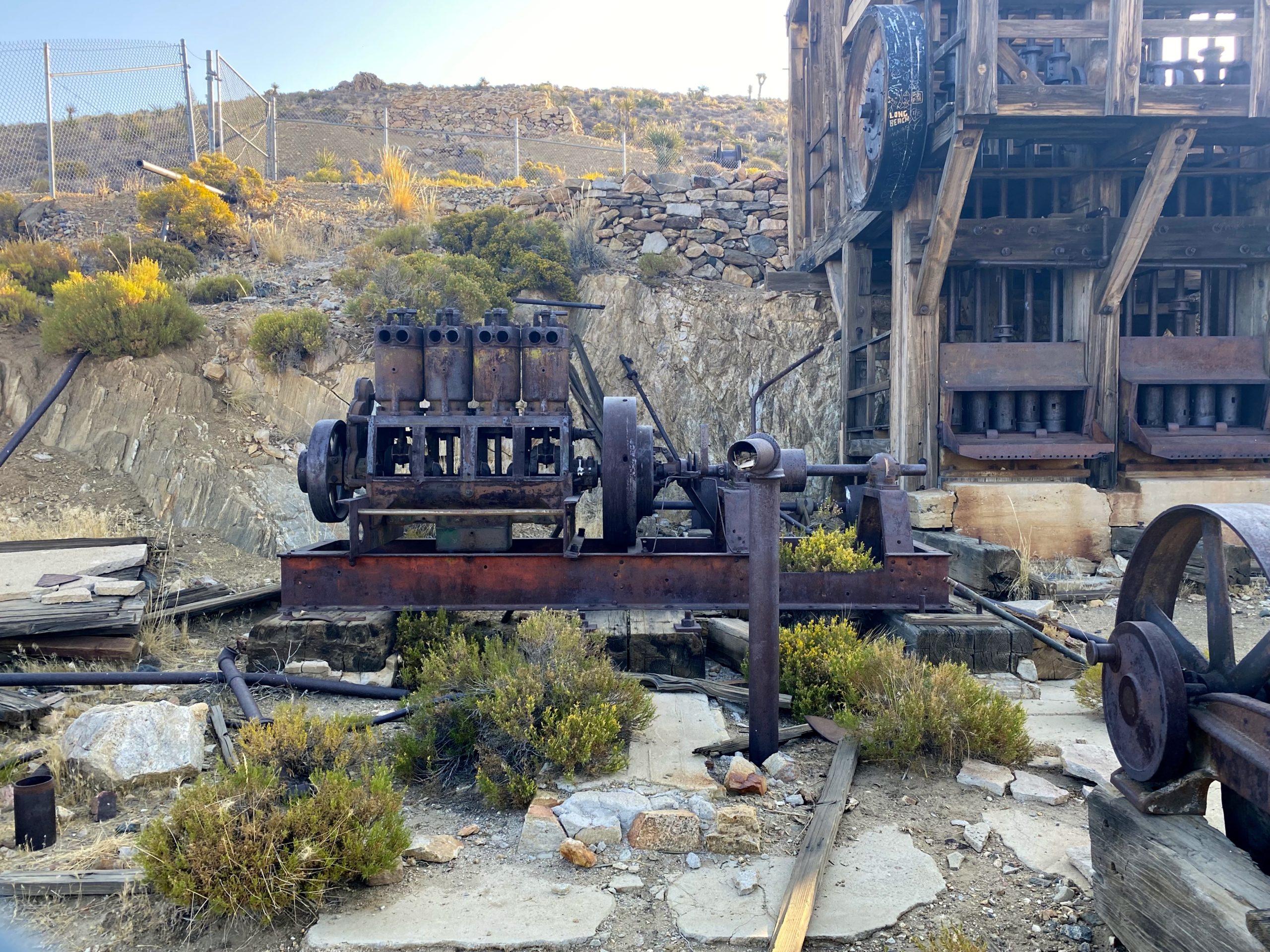
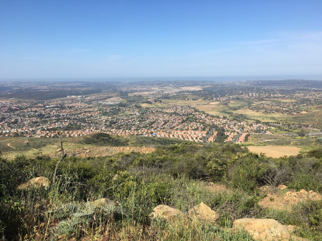
My second peak of the day was to be Ryan Mountain, which is also on the Sierra Club Hundred Peaks Section list (#239). This peak is one of the more popular hikes in the park, in part due to the incredible views from the summit. Before I set off, I saw a couple looking over a map, and I offered some assistance as to their next adventure. Afterward, I chatted with one of the volunteers nearby. We commented on how many of the hikers were improperly clothed for the hike. Shorts, t-shirts, or tank-tops were common on many of them. While we stood there in long pants and long-sleeves and wide-brimmed hats just shaking our heads. 

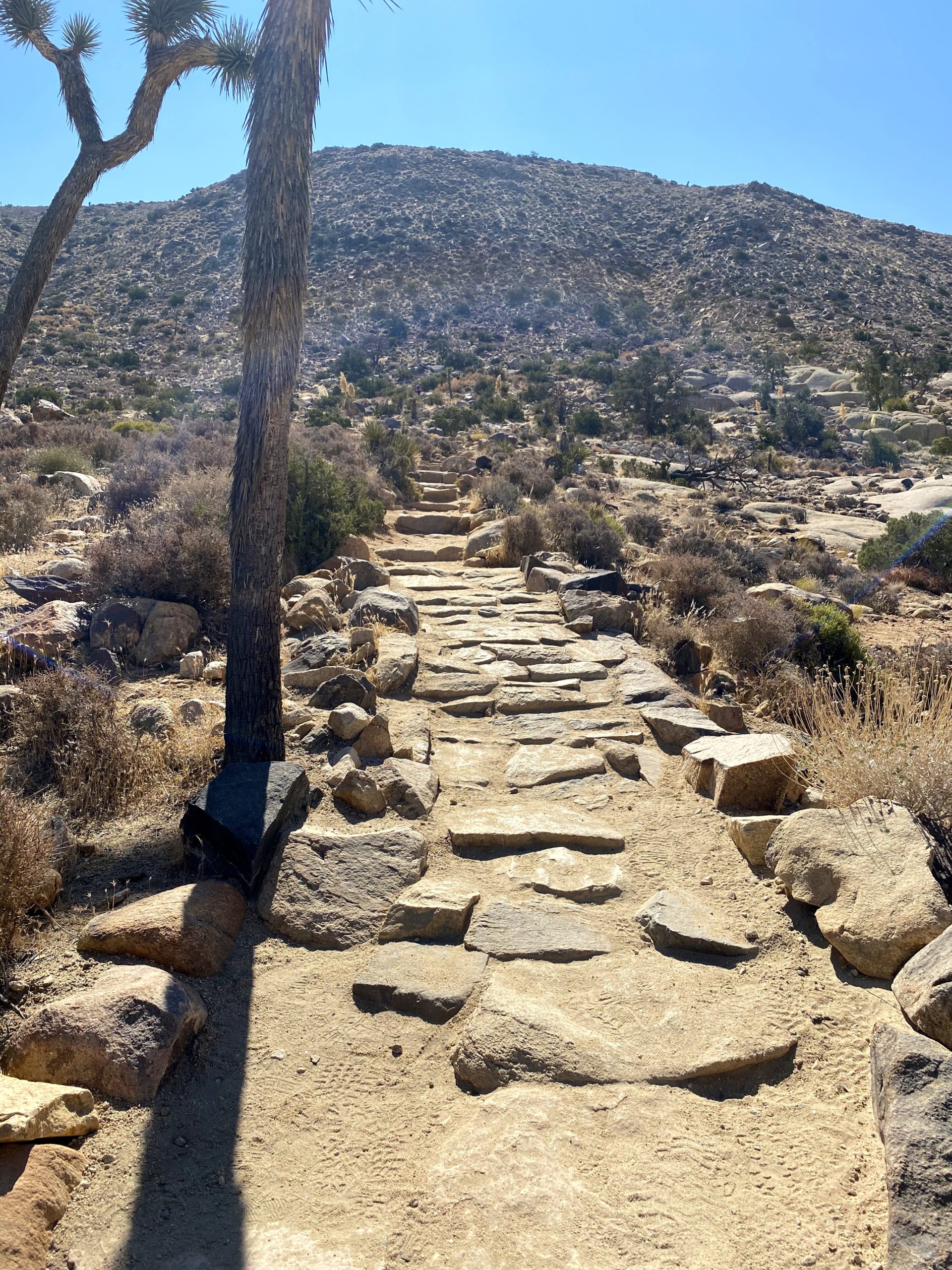
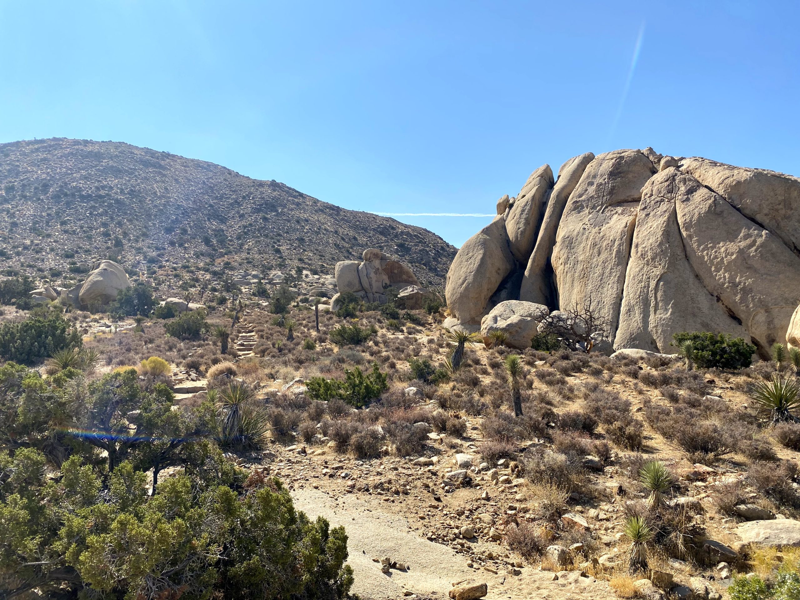
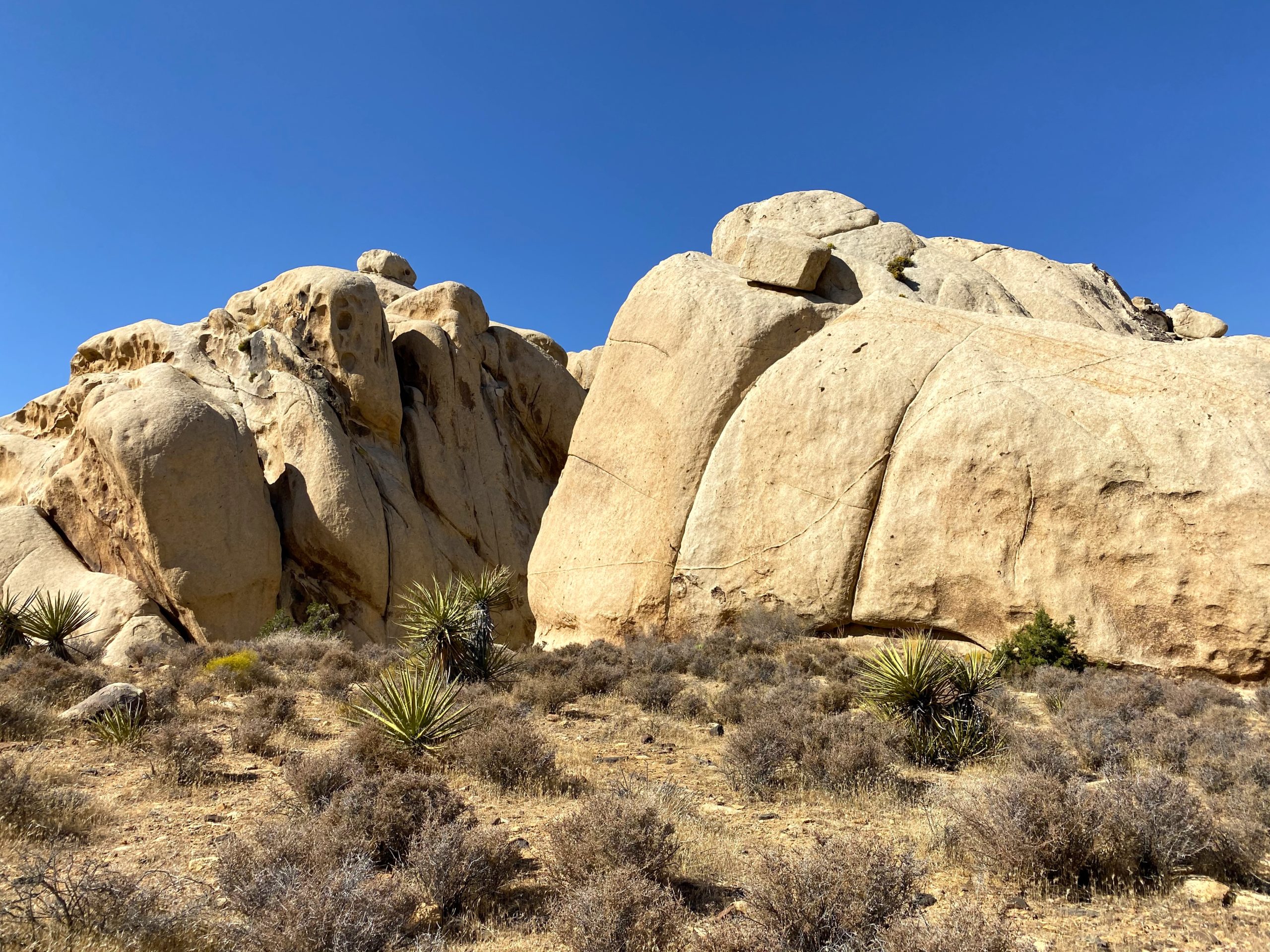
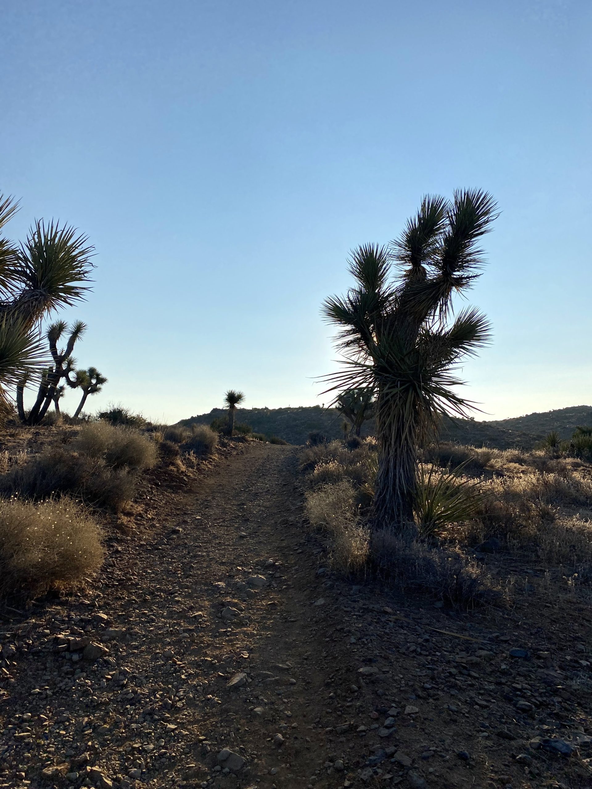
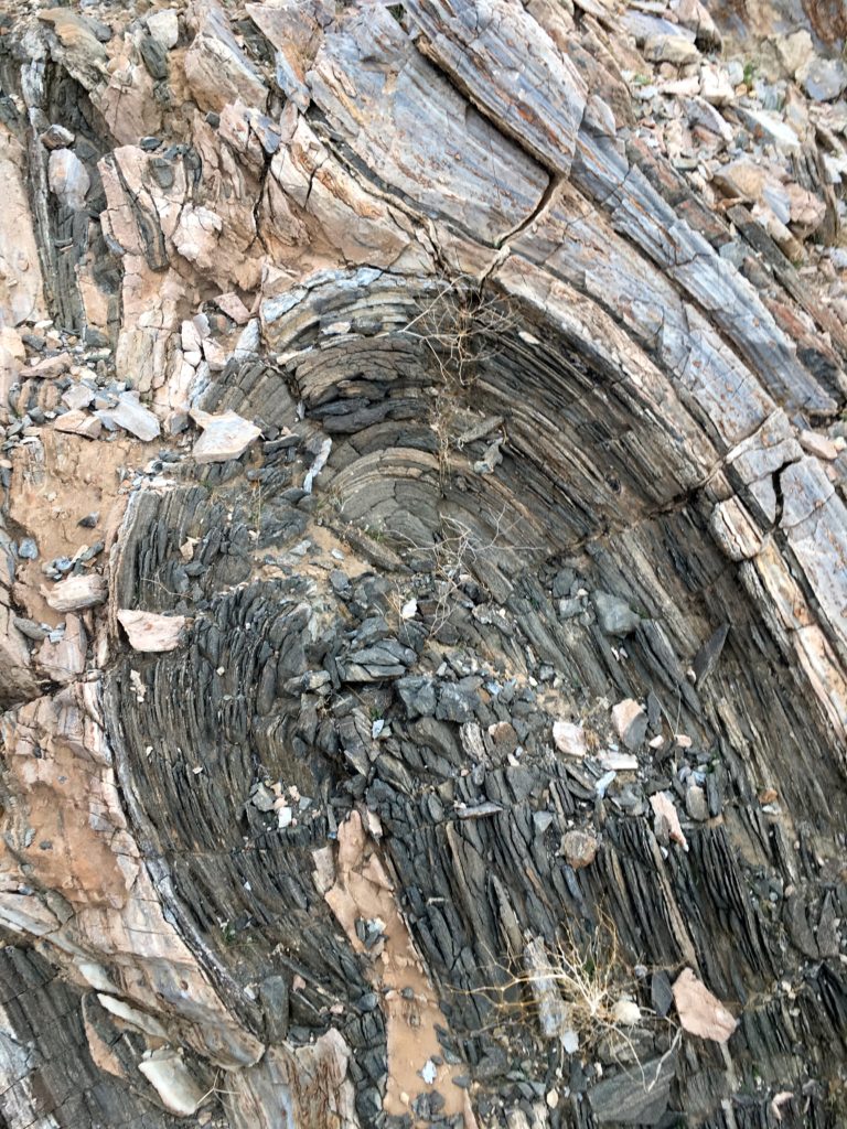
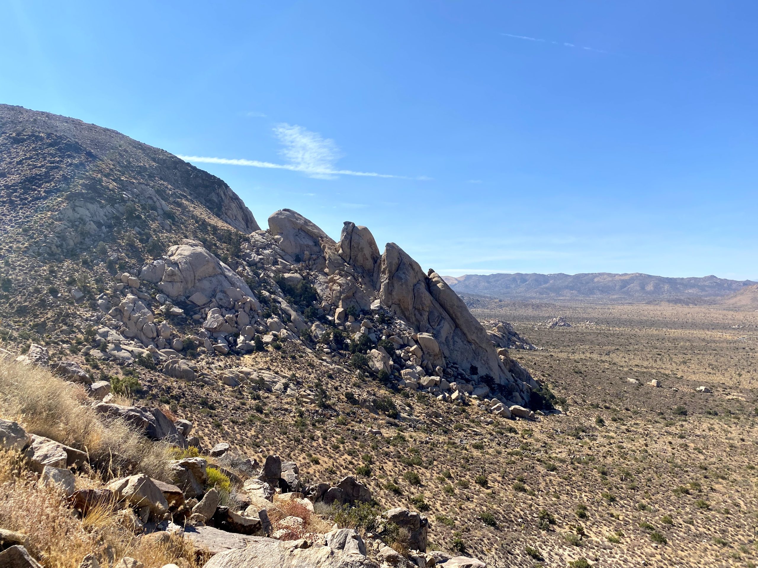
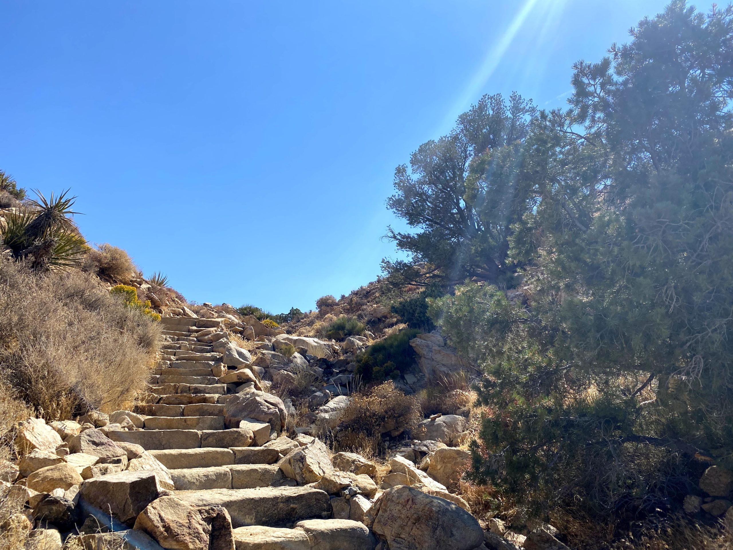
The trail begins climbing straight from the parking lot. For the first part of the trail, stairs built from the native rocks helped me make the 1,000-foot climb to the summit. Standing off to the right, just after hitting the trail, was a massive rock formation. This white tank granite is over 135 million years old.

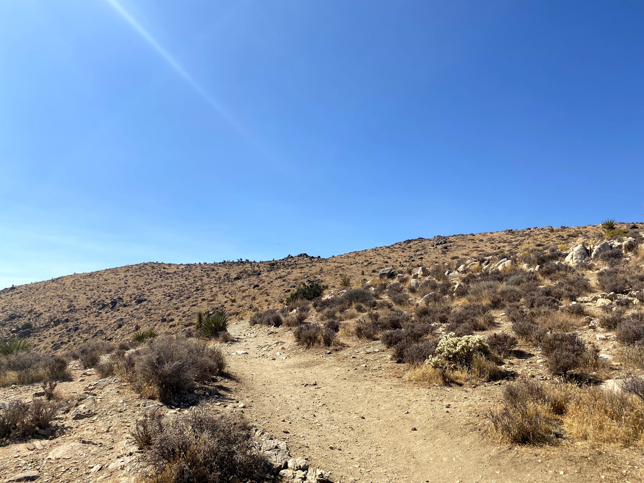
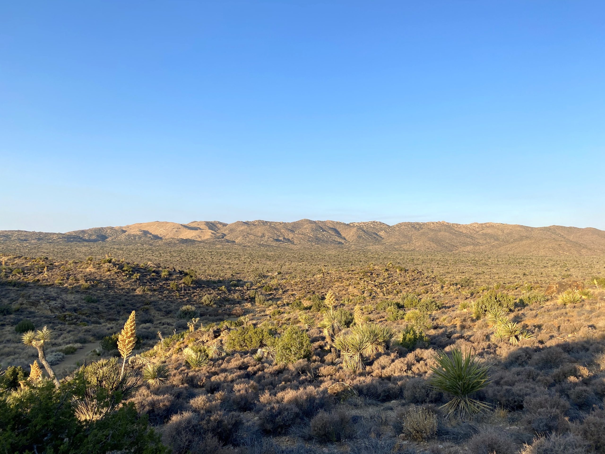
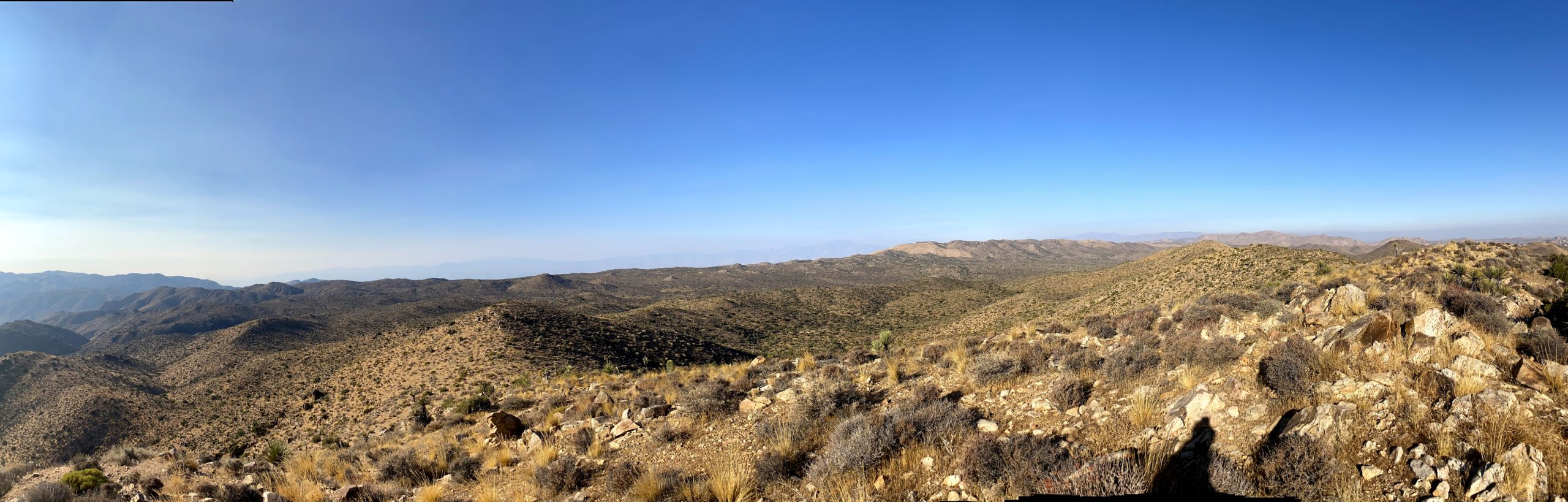
I would keep climbing up the mountain, letting the returning hikers pass safely by. It was hit and miss on the face-covering usage. After a short, relatively level section, the rock stairs returned until I reached the saddle. Here I got my first real view of the summit. At this point, the trail’s grade eased and I soon found myself atop Ryan Mountain. 

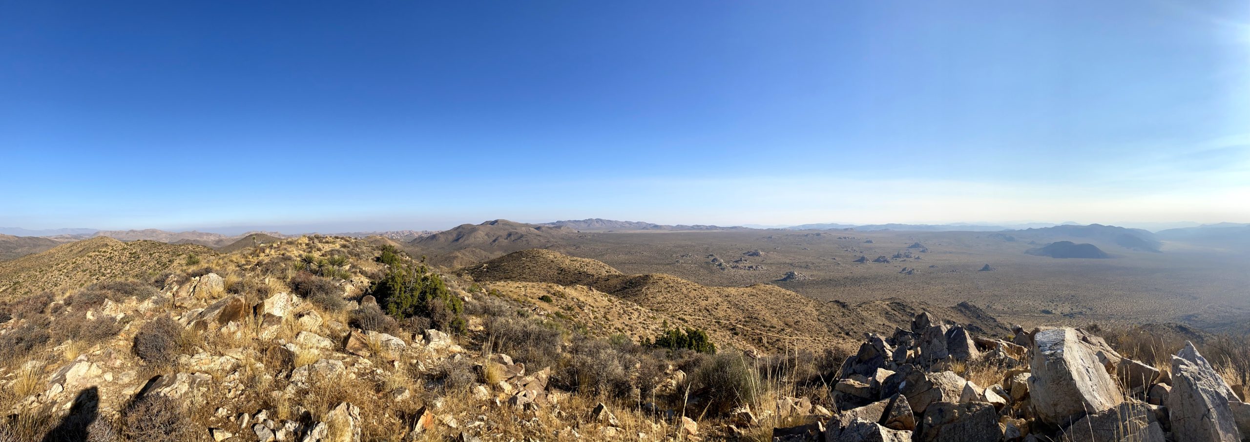
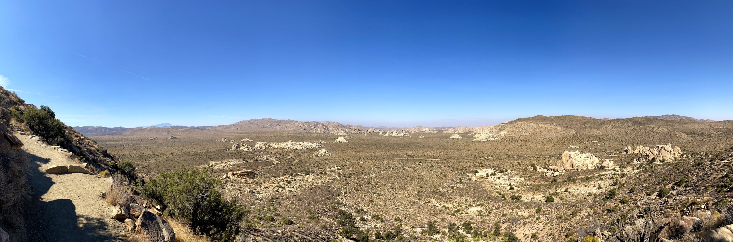
I had packed my lunch, so I found a nice spot to rest and enjoy my well-earned meal. The views were truly spectacular. The summit is nice and wide, so everyone was able to find a spot a safe distance from one another.

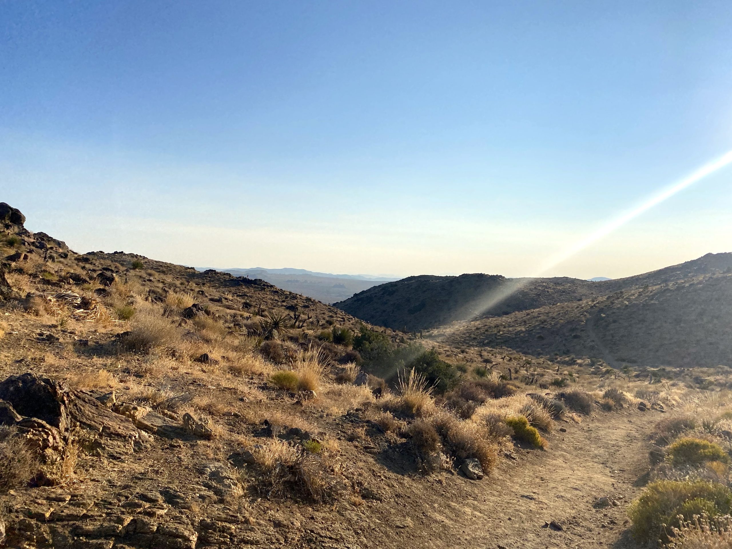
While it was warmer, the breeze made it pleasant to just soak in the views. I eventually figured I should head back down, as I had about an hour’s drive down to my campsite at Cottonwood Springs. The descent was uneventful, except for the sweeping views. All told, I covered the 2.8 miles in 1:43 with 1,054 feet of gain. 


Buy Me a Coffee at ko-fi.com

I am an avid peak bagger, sometimes backpacker, and former sea kayaker living in San Diego. I am the co-author of Urban Trails: San Diego, coming in Spring 2026!

In 2019, I became the third person to complete the San Diego 100 Peak Challenge. Not stopping with that accomplishment, I set my sights on the harder San Diego Sierra Club 100 Peak list, which I completed in 2021. In addition, I have conquered several Six-Pack of Peaks challenges (SoCal, San Diego, Central Coast, and both the Arizona-Winter and Arizona-Summer).

I am looking forward to exploring new summits and new adventures across the southwest. 

Lost Horse Mine

I decided to spend a couple of days exploring Joshua Tree National Park. The first day was spent summiting some peaks, and the second day would be playing tour guide for a friend. Since the weather was still warm, I knew I wanted to get an early start. I arrived at the trailhead for Lost Horse Mine to an empty parking lot around 7:30 am. This was to be the longest hike of the day, so I wanted to get it done first. After grabbing my gear, I set off to see the well-preserved mine and then summit the nearby peak. The entire loop is just about 7 miles, while if you just go to the mine and back it is about 4.5 miles. Being mindful of the temperatures, I was unsure which option I was going to take. As I stepped onto the trail, I saw the sign that the park had turned this trail into a one-way route, so I realized I’d doing the loop.

The trail worked its way back into the wilderness. About a mile in, a runner shouted that he was coming up from behind. I didn’t expect to see that on the trail. I wished him a safe run and he wished me an enjoyable hike. As I made my way toward the mine, I was rewarded with some nice vistas of the park. Soon the mine came into view. I had tried several times in the past to hike out to this site but had been unable to. 

I took the spur trail up to the Lost Horse Mine. The mine itself is fenced off, so it took a little finagling to take my photos. It is quite a sight to see. After exploring some of the surrounding artifacts, I rejoined the main trail and headed along my clockwise route. I soon came to the turnoff to make the ascent to Lost Horse Mountain. This peak is #251 on the Sierra Club Hundred Peaks Section, hence why I was eager to climb it.

The route is straight up the short slope, and I was able to follow the faint use trail for most of it. As expected I was rewarded with some sweeping views. A light breeze made it quite nice. There was no register nor benchmark to be found. After a short break, I headed back down, knowing I had another 4 or so miles of hiking to return to the car. 

Once I was back on the trail, it began its steep descent for a while. I stopped for a bit to explore what appeared to be closed mine shafts. Here, an actual hiker passed me. We exchanged hellos as he continued on. Since I was hoping for a multiple peak day, I was playing it conservatively with my pace and energy. 

After a bit, I came to the ruins of an abandoned cabin that Johnny Lang, the founder of the mine, moved to after being accused of stealing gold from the mine. All that remains is the chimney and the bed frame. This is also the site of the Optimist Mine, which unlike the Lost Horse Mine, was a bust.

Once I made a short climb, the trail would gradually descend back to the car. I was passed by another runner. Did I miss the notice for the race? Around a mile to go, I encountered three hikers going the other direction. I let them know that this trail is one-way and they might encounter some folks giving them the stink-eye.

While I cruised along, I debated what my second peak will be. Mount Inspiration was an option. While short, it was a use-trail-only hike. My other option was Ryan Mountain, which would have more traffic. In the end, I decided Ryan Mountain would be the smart choice. Soon the road came into view as well as the parking lot. The lot had filled up since I set off. Tossing my gear into the back and enjoying some cold water, I was off for the short drive to the next peak. This hike took me 3 hours to cover the 7 miles with 1,049 feet of gain.


Buy Me a Coffee at ko-fi.com

I am an avid peak bagger, sometimes backpacker, and former sea kayaker living in San Diego. I am the co-author of Urban Trails: San Diego, coming in Spring 2026!

In 2019, I became the third person to complete the San Diego 100 Peak Challenge. Not stopping with that accomplishment, I set my sights on the harder San Diego Sierra Club 100 Peak list, which I completed in 2021. In addition, I have conquered several Six-Pack of Peaks challenges (SoCal, San Diego, Central Coast, and both the Arizona-Winter and Arizona-Summer).

I am looking forward to exploring new summits and new adventures across the southwest. 

Viejas Mountain

Well, the original plan for today was to drive out to Anza-Borrego and summit Indianhead. However, one of my hiking buddies had to back out and the weather was forecasting 20+ mile per hour winds with gusts up to 35 mph. Not exactly the best conditions to travel across a ridgeline to the summit. Ted and I still held out hope that the forecast might turn, so we kept to the original plan and would make a final decision in the morning.

Well, the forecast held, so we went for plan B, Viejas Mountain. This was one of the other remaining peaks I needed to do. It is a short but steep peak. It appeared we got a little bit of rain overnight—another present from the system. As we drove out to Alpine, it was evident that this was going to be a cloudy hike.

Bundling up against the cold and the wind, we set off in the dark up the rocky trail. It is only about 1.5 miles to the summit, but you do gain about 1,500 feet, so it will give you a workout.

Once we reached the ridge, the wind picked up and our pants were damp from the brush along the trail. The summit was about a quarter-mile to the north. Given the conditions, we knew that we were not going to be staying long.

The register was full, so I did not attempt to sign it. Poking around the wind shelters, I found a reference mark. Pulling up Peakbagger, it denoted one more reference mark and the benchmark itself. Using its map, I first found the other reference mark. Using the arrows on them, I focused on locating the benchmark. There, partially covered by the rocks that make up the wind shelter was the actual benchmark!

Both Ted and I were getting chilled, so we began our descent. We took our care as we made our way through the mist—no need to slip and turn an ankle. We soon found ourselves back at the car and changed into some dry clothes. Since we made great time up and back, we decided to go grab a hot breakfast in Alpine. That was peak #98 of my #100PeakChallenge!


Buy Me a Coffee at ko-fi.com

I am an avid peak bagger, sometimes backpacker, and former sea kayaker living in San Diego. I am the co-author of Urban Trails: San Diego, coming in Spring 2026!

In 2019, I became the third person to complete the San Diego 100 Peak Challenge. Not stopping with that accomplishment, I set my sights on the harder San Diego Sierra Club 100 Peak list, which I completed in 2021. In addition, I have conquered several Six-Pack of Peaks challenges (SoCal, San Diego, Central Coast, and both the Arizona-Winter and Arizona-Summer).

I am looking forward to exploring new summits and new adventures across the southwest. 

Coyote Mountain

As my remaining peak list dwindles, solo hikes are in short supply. Coyote Mountain was one of the few peaks left. I drove out to Anza-Borrego in the early morning and was greeted with a gorgeous sunrise as I left Ranchita and began my descent into Borrego Springs.

The trailhead is off Rockhouse Canyon Road; I loved that Apple Maps told me I had to park and walk to it. Ha! Although it is a dirt road, a standard car would have no trouble.

Looking at Coyote Mountain from the Villager ridge (from a previous hike)

The skies were partly overcast, as a storm was due in the afternoon. I parked, and Coyote Mountain loomed before me. The route follows the ridgeline to the summit, so the only minor challenge is crossing the desert floor to it.

As I began working my way up the start of the ridge, I spotted this geological wonder.

I navigated my way up, and at times a clear use trail guided me through the rocks and sharp pointy plants. At other times, the trail would fade away, or I was working my way up a steep and rocky section.

The route would alternate between sections that burned your quads and easier sections that would allow you to catch your breath. As the summit looms over you, the route bends westward, letting you know that the end is close at hand.

At the summit, you are almost immediately greeted with a pole denoting the register and the benchmark is nearby.

I took in the views of Clark Dry Lake bed to the east, near where I started. To the west and south bits of Borrego Springs. I had a snack, then wandered over to a nearby bump to the west. Another register was tucked in a pile of rocks as well.

Coyote Summit

Then it was time to work my way back down because I certainly did not want to do this in the rain. About halfway down, about 14 hikers were making their way up. This turned out to be a guided hike led by the Anza Borrego Foundation. A bit behind them were two other hikers, and we chatted some. I mentioned what I was doing, and it turns out I was chatting with Greg Gerlach and Kelly Laxamana, two peakbaggers I trust on peakbagger.com. How I wish I could have picked their brain more about my remaining summits.

With about a mile to go, my knees started to really hurt. The steepness of this summit was getting to me. As I slowed my pace, I began looking for the best option to depart from the ridgeline and get back to flatter ground. I made it back to the car and was glad to be done and heading back into Borrego Springs for a cold beverage and some Mexican food. As I drove back home and crested into Ranchita, the rain started to fall. 83 summits are done, and looking forward to finishing them!


Buy Me a Coffee at ko-fi.com

I am an avid peak bagger, sometimes backpacker, and former sea kayaker living in San Diego. I am the co-author of Urban Trails: San Diego, coming in Spring 2026!

In 2019, I became the third person to complete the San Diego 100 Peak Challenge. Not stopping with that accomplishment, I set my sights on the harder San Diego Sierra Club 100 Peak list, which I completed in 2021. In addition, I have conquered several Six-Pack of Peaks challenges (SoCal, San Diego, Central Coast, and both the Arizona-Winter and Arizona-Summer).

I am looking forward to exploring new summits and new adventures across the southwest. 

Viejas Mountain

Although I did not make out to Ant Benchmark the day before, I opted to summit Viejas Mountain instead. This peak is just to the west of the casino, so it was an easy drive to the trailhead. Mark and I arrived at the trailhead a bit after sunrise.

There is no disguising what this hike is, it is just a steady climb upward. It was a cool morning with a bit of a breeze blowing. Soon, we reached the summit and took in the views while we rested. There is a rock wind shelter that has been built, sadly from rocks that used to denote the winter solstice by Kumeyaay Indians.

I was able to find two markers, but not the formal benchmark nor a register. A few others had joined us on the summit, and after chatting some, we headed back down the trail. In the distance, El Cajon Mountain beckoned for another day…

El Cajon Mountain to the west.

Buy Me a Coffee at ko-fi.com

I am an avid peak bagger, sometimes backpacker, and former sea kayaker living in San Diego. I am the co-author of Urban Trails: San Diego, coming in Spring 2026!

In 2019, I became the third person to complete the San Diego 100 Peak Challenge. Not stopping with that accomplishment, I set my sights on the harder San Diego Sierra Club 100 Peak list, which I completed in 2021. In addition, I have conquered several Six-Pack of Peaks challenges (SoCal, San Diego, Central Coast, and both the Arizona-Winter and Arizona-Summer).

I am looking forward to exploring new summits and new adventures across the southwest. 

Black Mountain (via Nighthawk Trail)

I can see this peak from my house. I have lost count of the number of times I have trekked to the top of this peak.

My two standard routes are either via the Nighthawk trail or via Miner’s Ridge. Either route is nice, both eventually intersect the access road to the summit. Miner’s Ridge is along the northeast side of the mountain so you can get some shade if you are hiking in the afternoon. The summit is home to a variety of communication towers, so the view is slightly obstructed. Regardless, it still offers a nice view of Carmel Valley and Del Mar to the west.


Buy Me a Coffee at ko-fi.com

I am an avid peak bagger, sometimes backpacker, and former sea kayaker living in San Diego. I am the co-author of Urban Trails: San Diego, coming in Spring 2026!

In 2019, I became the third person to complete the San Diego 100 Peak Challenge. Not stopping with that accomplishment, I set my sights on the harder San Diego Sierra Club 100 Peak list, which I completed in 2021. In addition, I have conquered several Six-Pack of Peaks challenges (SoCal, San Diego, Central Coast, and both the Arizona-Winter and Arizona-Summer).

I am looking forward to exploring new summits and new adventures across the southwest.