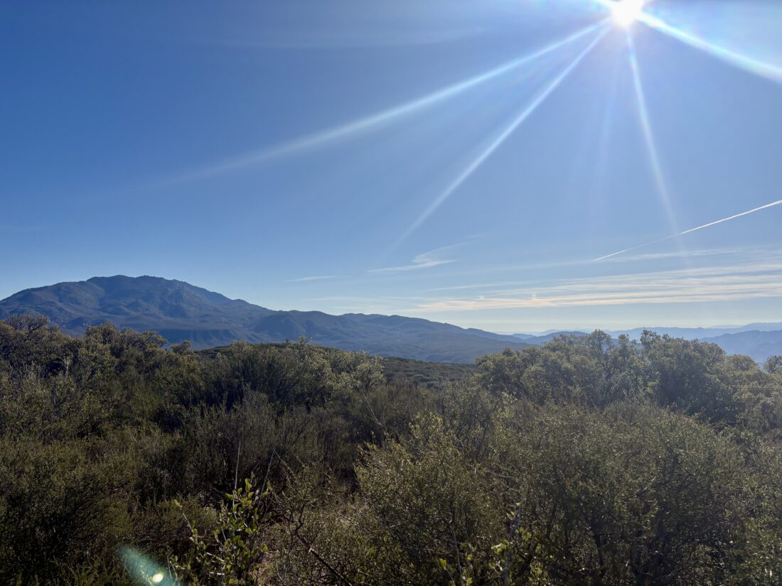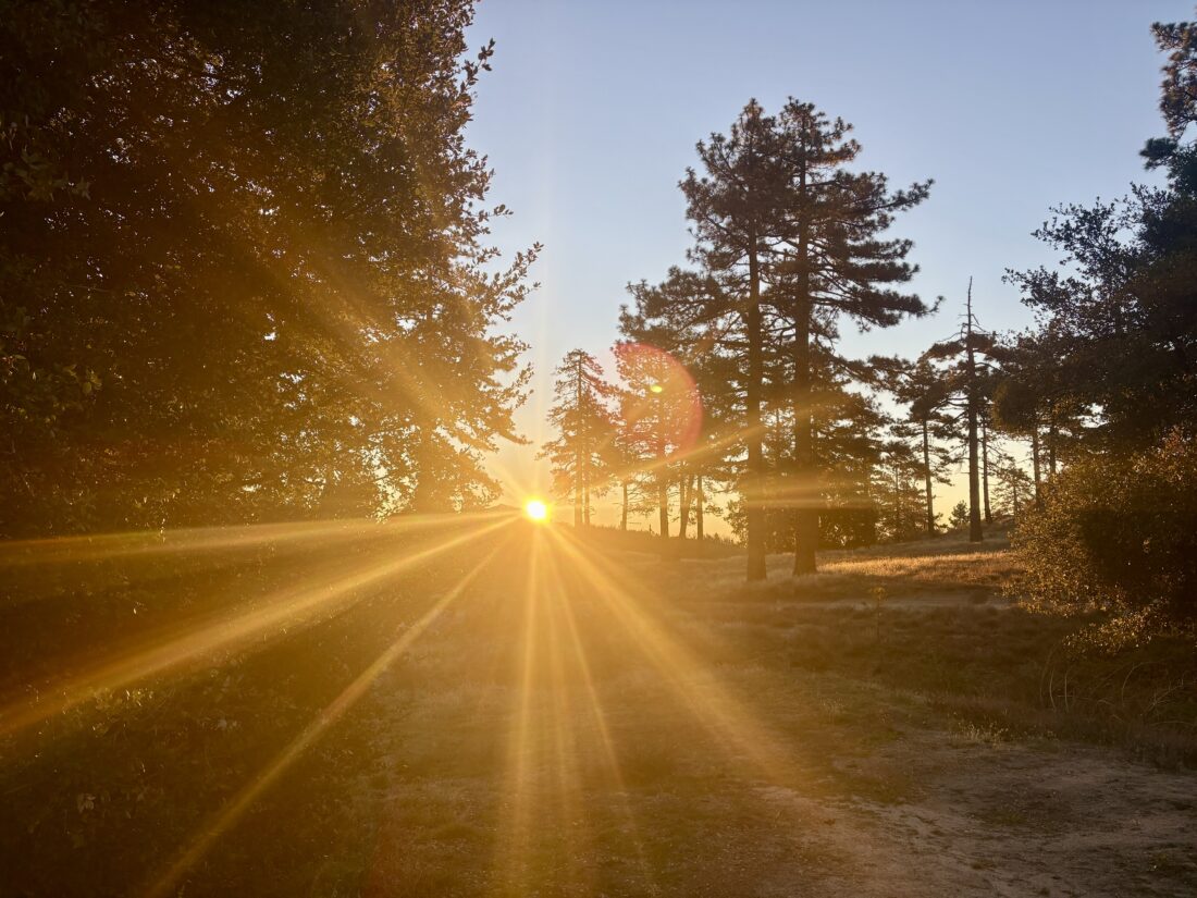
Today’s hike would be up to Suicide Rock near Idyllwild. I arrived just after the ranger station opened to pick up my permit (free), before making the short drive to the Deer Springs Trailhead. This is the same trail I used during my last ascent of San Jacinto back in October. The parking area was empty as I gathered my gear. I tucked my warmer gloves, a beanie, and my puffy into my pack, as it was a bit chilly. I was also wearing a base layer under my regular hiking pants. For my upper layers, I had my Ridge Merino sun hoodie and my fleece. I locked the car and set off up the trail. The skies were clear, and the sun felt good. After a bit, I decided to shed the fleece as I didn’t want to overheat with it on. I have found that my base layer actually does a good job of keeping me warm.


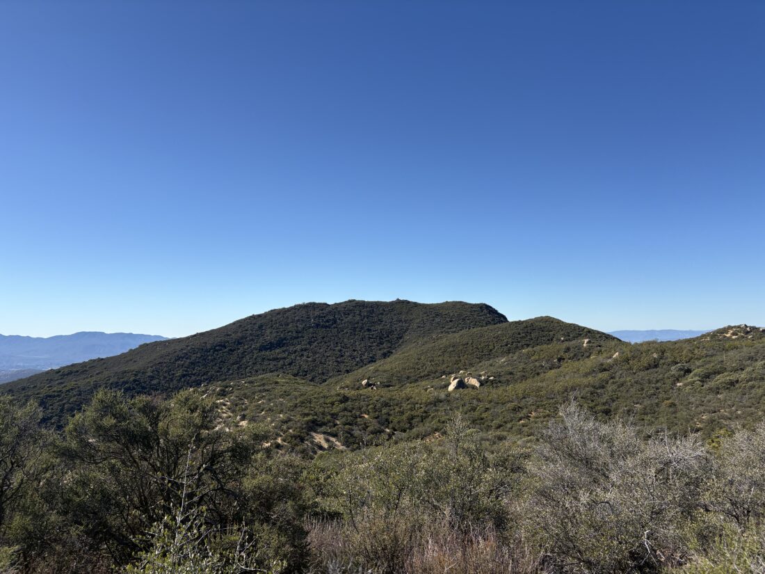
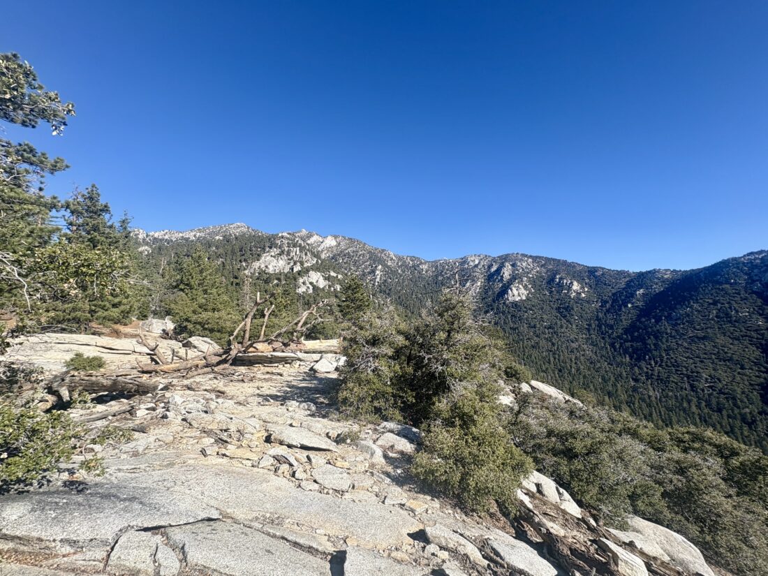
I cruised up the trail, enjoying the crunch of leaves and acorns under my boots. After about 2.5 miles in, I reached the turn-off to Suicide Rock. The trail passed by a nicely flowing Marion Creek before continuing its climb toward the “summit”. As I drew near, a few small patches of snow lay scattered about. Then I came to one of three small icy snow crossings I would make—nothing dangerous, other than maybe falling on your butt, though I still took care in traversing them. Then the granite dome came into view…Along with some dude fully naked sunbathing! What the heck! He never reacted to me passing by as I looked for a spot well away from him. I soaked in the views I came to see while avoiding the view I did not. After a snack, I set off back down the trail. He never moved the whole time.


After again crossing those icy patches, I motored down the trail, weighing my lunch options once I was down. Along the way back, I met a few other hikers working their way up. I gave them some beta on the trail and a warning about the person getting his vitamin E fix. Before too long, I was back at the car and ready for lunch. Paradise Valley Cafe won the battle for my stomach. I stopped by the ranger station to inform them of the person sunbathing and a general trail update, but they had closed for lunch. I would call them from home later. That was my #55 HPS peak, and with a little luck, I hope to get a few more in during my winter break. I logged the hike at 7.1 miles round trip in 3:14 with 1,751 feet of gain.


I am an avid peak bagger, sometimes backpacker, and former sea kayaker living in San Diego. I am the co-author of Urban Trails: San Diego, coming in Spring 2026!
In 2019, I became the third person to complete the San Diego 100 Peak Challenge. Not stopping with that accomplishment, I set my sights on the harder San Diego Sierra Club 100 Peak list, which I completed in 2021. In addition, I have conquered several Six-Pack of Peaks challenges (SoCal, San Diego, Central Coast, and both the Arizona-Winter and Arizona-Summer).
I am looking forward to exploring new summits and new adventures across the southwest.