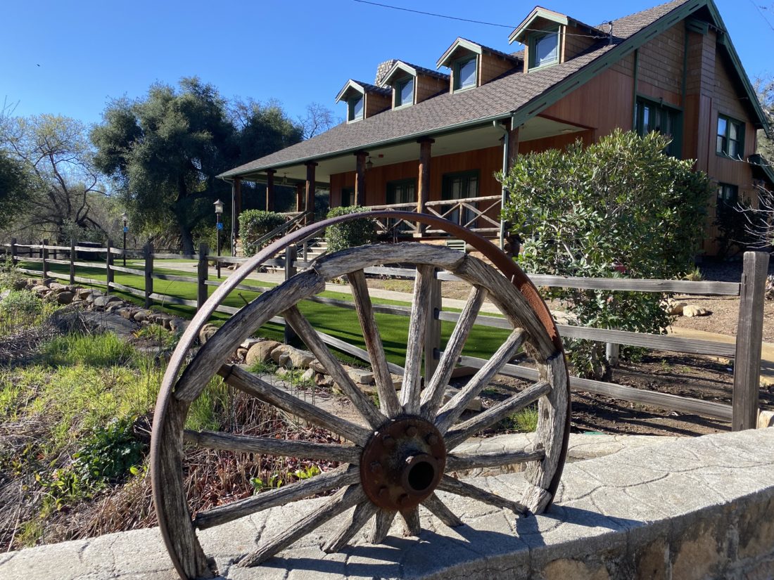
With my usual hiking partners busy, I decided to take a backpacking trip in Joshua Tree National Park. My friend Ted from Santa Barbara, who had joined me when I hiked Santa Cruz Island, was able to join me. We opted to hike the Boy Scout Trail, which would be a nice 8-mile hike, allowing us to explore both the upper Mojave desert with its Joshua Trees and then the lower Mojave desert, with cacti and yuccas. In addition, I hoped to summit two peaks on the Lower Peaks Committee list that are near the trail–Keys Peak and Mount Mel. We were doing this trip as a point-to-point hike, starting at the Keys West Trailhead and working our way down to the Indian Cove Trailhead. I arrived first at the Indian Cove Backcountry parking area and waited for Ted to arrive. Another hiker was getting ready to head off and planned on following the same route, but as a day hike. Since there is cell coverage at this trailhead, he had called for a cab to drive him to the other trailhead. This also could be an option for those who can’t or don’t want to set up a car shuttle. Ted eventually arrived, after getting a late start, and having to get a pass from the ranger station ($30). I took a short nap in the car while I waited. Once Ted arrived, I transferred my hiking gear into his car and he tossed his backpack into mine. With that, we headed back into town to grab lunch before setting off.
After enjoying a nice burger and soda at JT’s Country Kitchen, we drove back into the park via the West Entrance. This is the main entrance to the park from the north, so be prepared to wait a bit to pass by the ranger station. Since I have a National Parks Annual Pass, I was able to bypass some of the waiting. We drove south toward the Keys West parking lot. This is a large lot but can fill up. Sure enough, upon arriving, there was not a spot to be found. The Boy Scout Trail is also a popular day hiking site, so we decided to wait for some returning hikers and then take their spot. After about 10 or 15 minutes, a couple did return and I was able to take their spot. Two other cars were waiting behind me. I had grabbed two backcountry permits (free) while waiting at the other trailhead and had them filled out.
NOTE: Permits are no longer free for backpacking in Joshua Tree. You need to obtain them from Recreation.gov or from the Park Headquarters in Twentynine Palms.
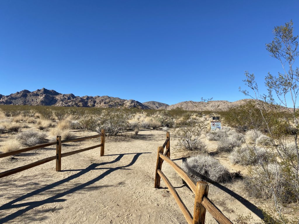
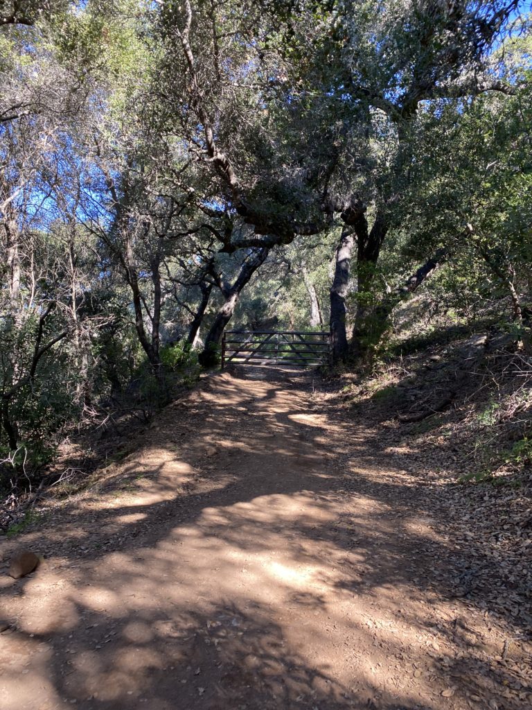
We had left one at our destination and had the other ready to deposit at the backcountry board in this location. We took advantage of the primitive pit toilet before setting off. Another thing to note, there is no water at this trailhead.
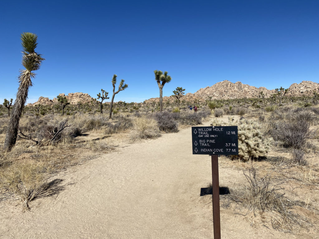
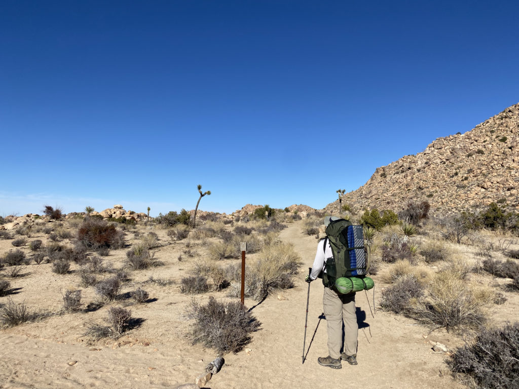
The trail sets off to the north. Soon you will see a mileage sign to the three main destinations from this trailhead; Willow Hole Trail (1.2 miles), the Big Pine Trail (3.7 miles), and Indian Cove (7.7 miles). What is interesting is the mileage sign next to the parking lot lists the Indian Cove at 7.5 miles. Since I had created markers for the turn-offs to each of the side peaks, I wanted to make sure my tracking app was working. For some reason, it was not recording the distance. After relaunching the app a few times, then finally rebooting my phone, it started working. I could have enabled tracking on my Garmin InReach Mini, but I like to only use that for communication with my wife or in a real emergency.
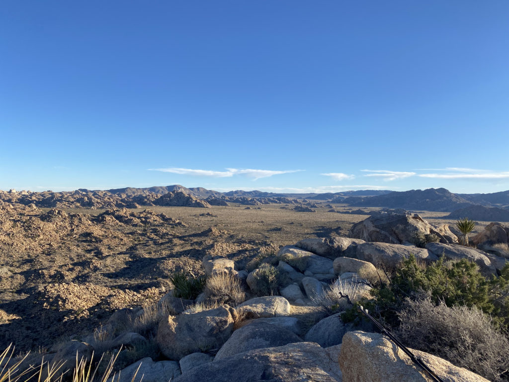
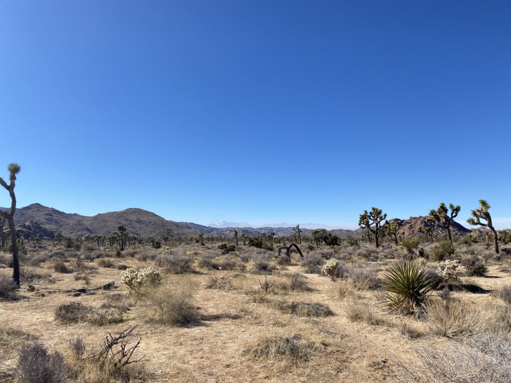
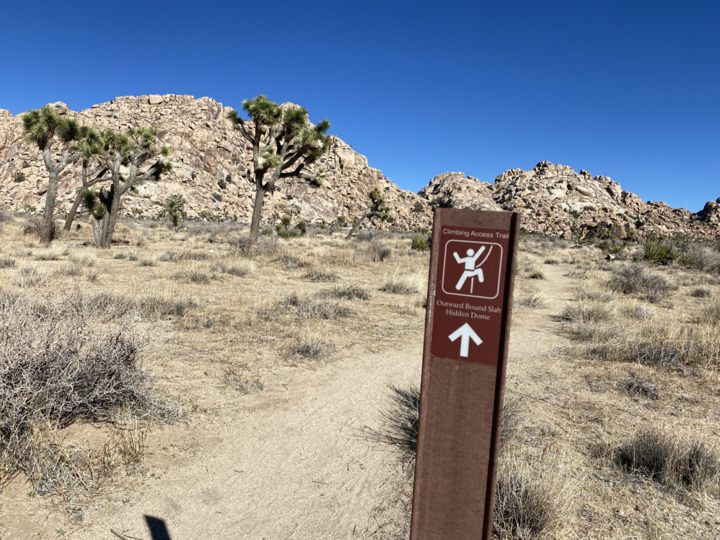
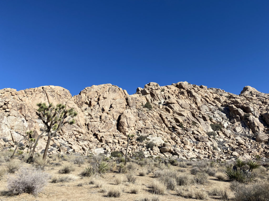
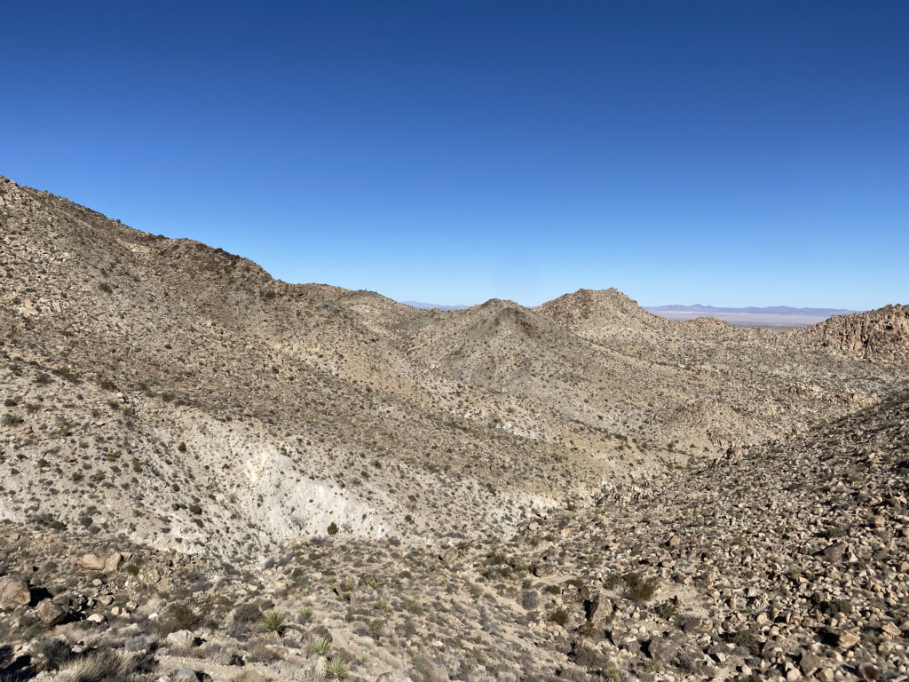
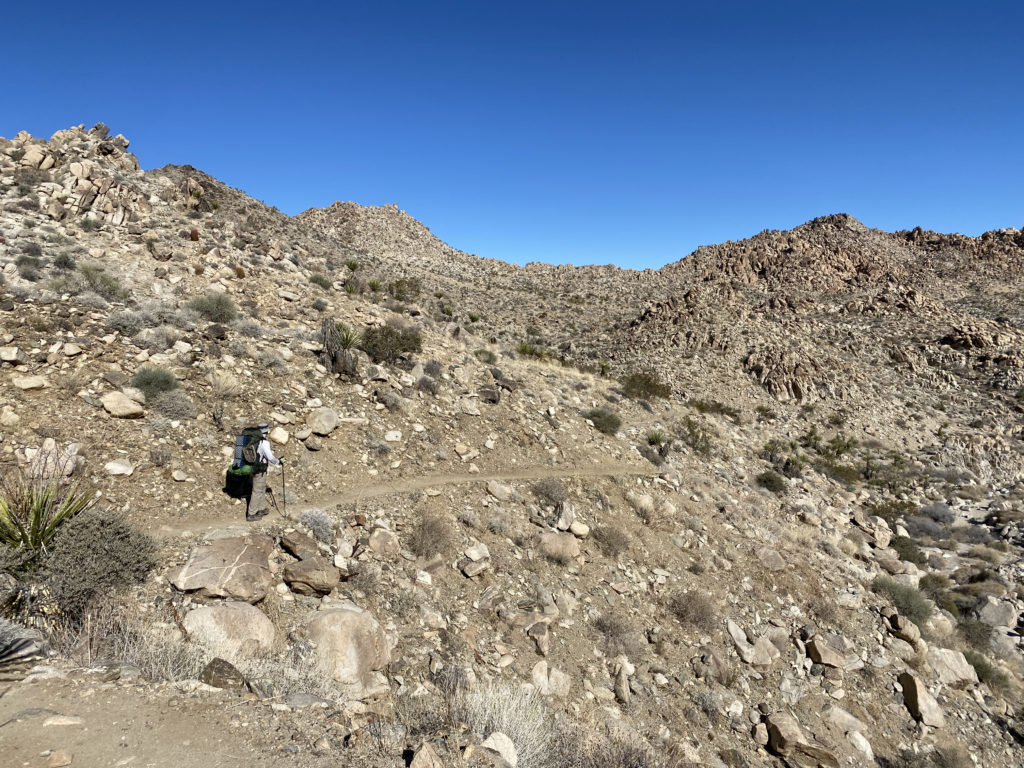
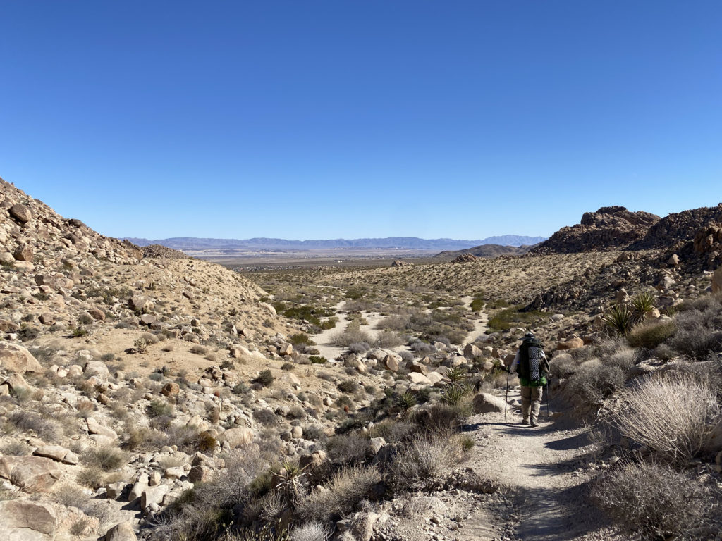
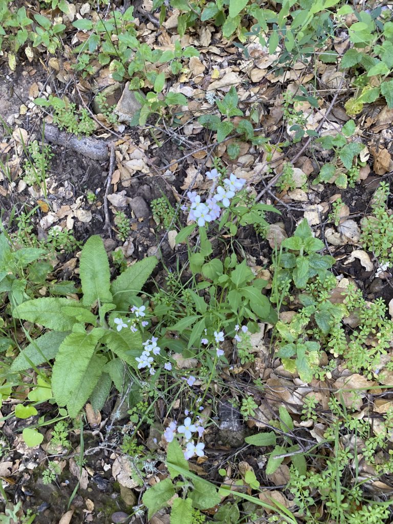
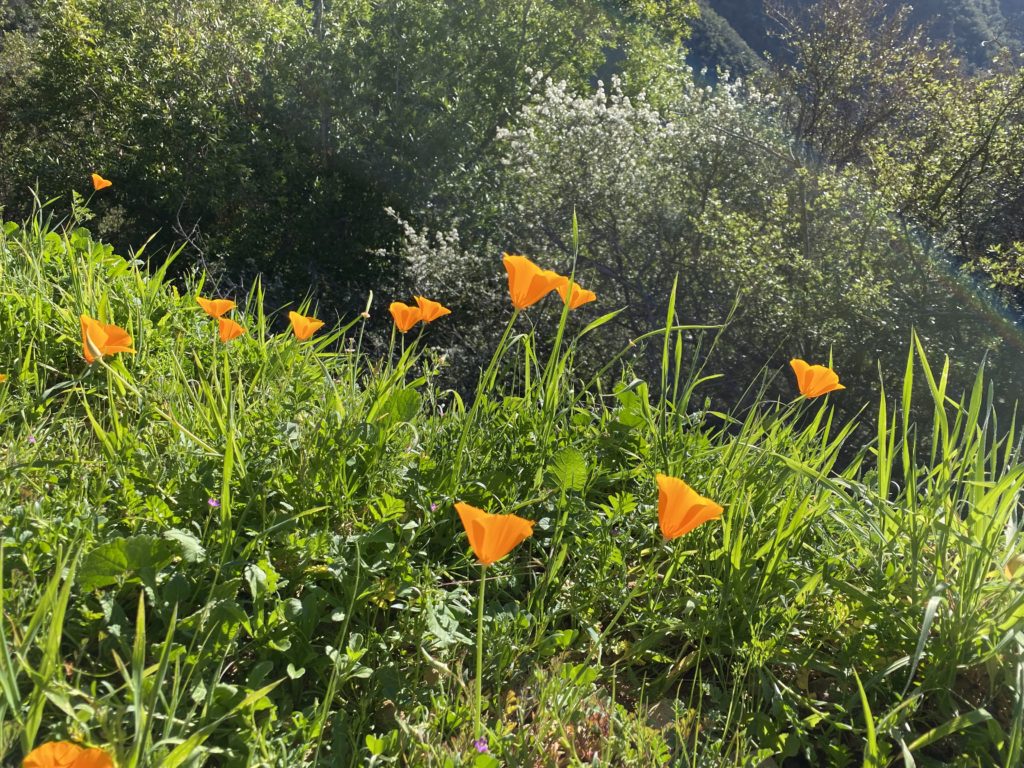
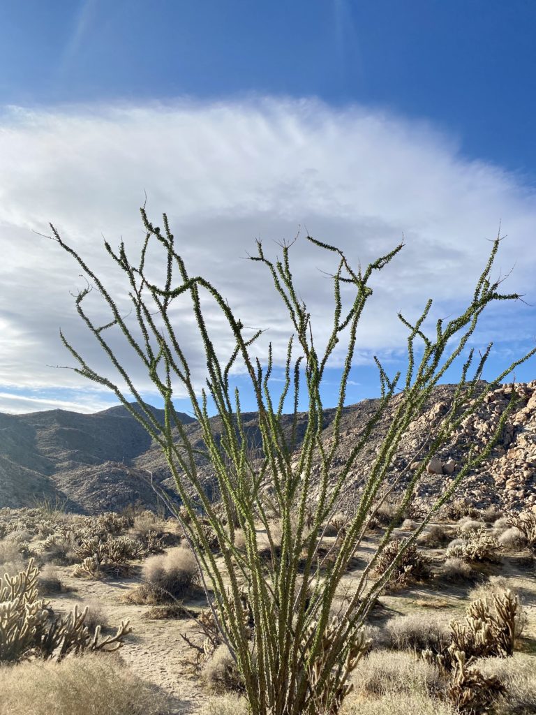
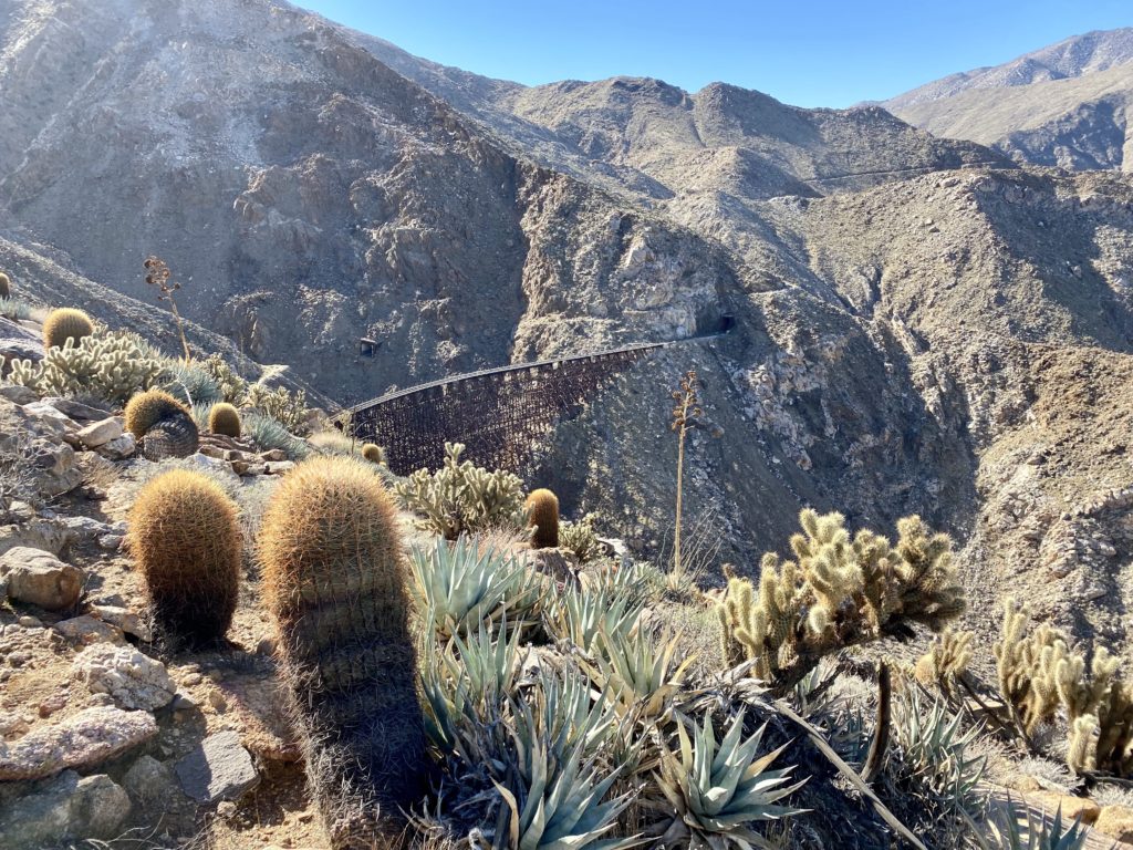
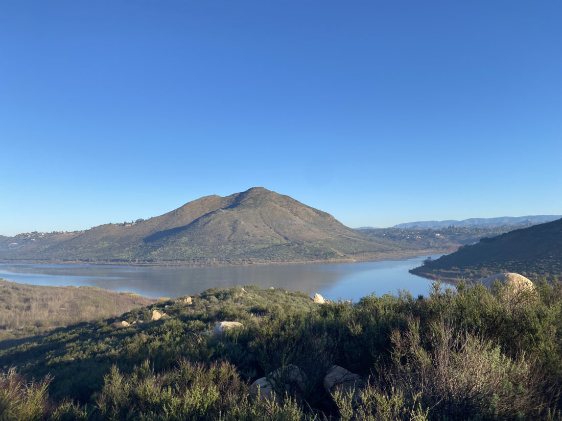
Off to the west, we could see the snow-capped summit of San Gorgonio, Southern California’s highest peak. The trail is nice and flat for almost the first 3.5 miles, so we were able to cruise along. This area is also a popular climbing area, and we would pass signs indicating various climbing access trails to spots like “Brownie Girl Dome” and “Hidden Dome”. The first real junction that you need to look for is the Willow Hole Trail. Stay to the left to keep on the Boy Scout Trail. As you cruise along the trail, enjoy the Joshua Trees that will dot the landscape.
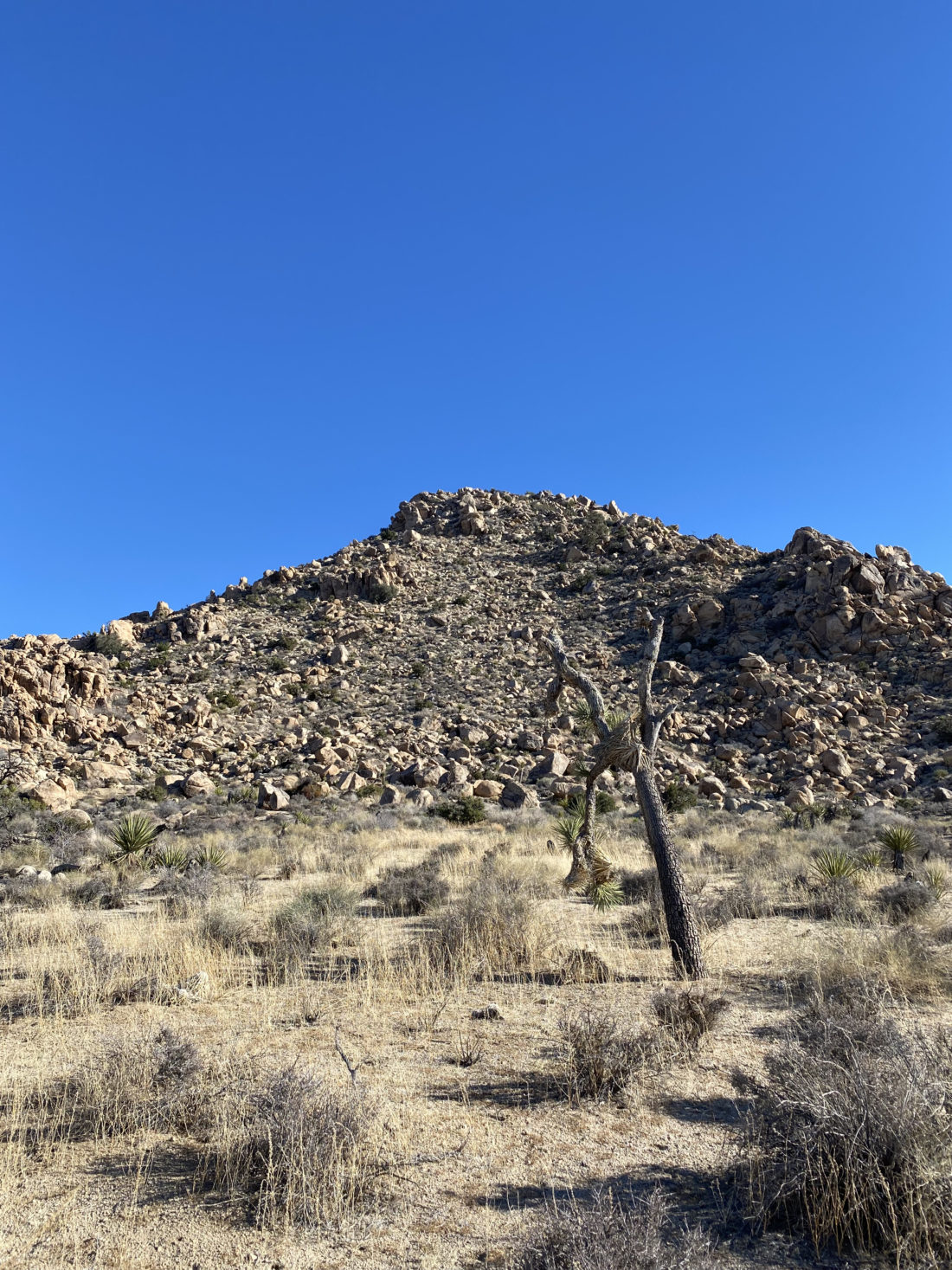
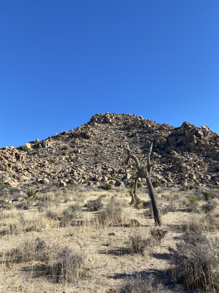
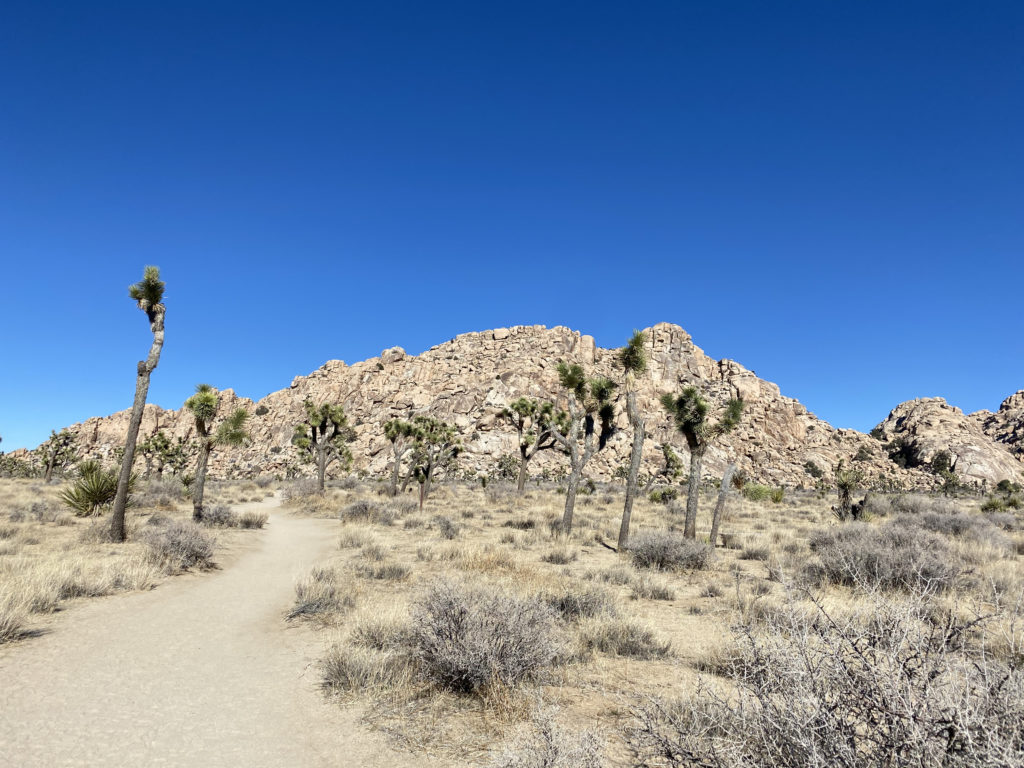
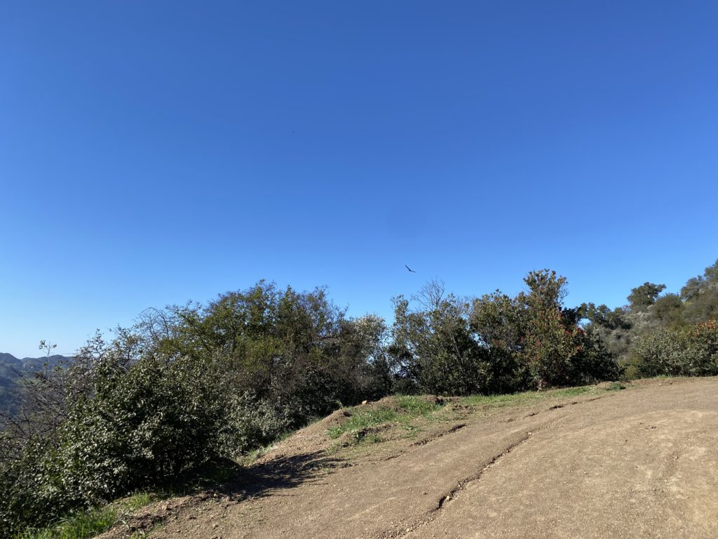
I knew at a certain point the trail would begin to pass into rockier terrain and we would no longer find a suitable campsite. In addition, there are some rules that we needed to observe. Besides the “stand 1 mile from a road and 500 feet from the trail”, we were also not allowed to camp on the east side of the trail. (NPS rules). We could see the terrain becoming less sandy, and the plant life began to change as well.
NOTE: There are now designated dispersed campsites that you have to camp at to reduce the impact on the area. See https://www.nps.gov/jotr/planyourvisit/the-boy-scout-trail-zone.htm
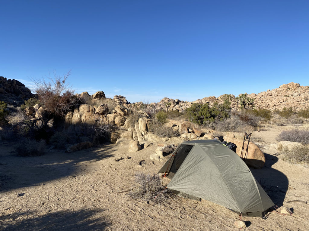
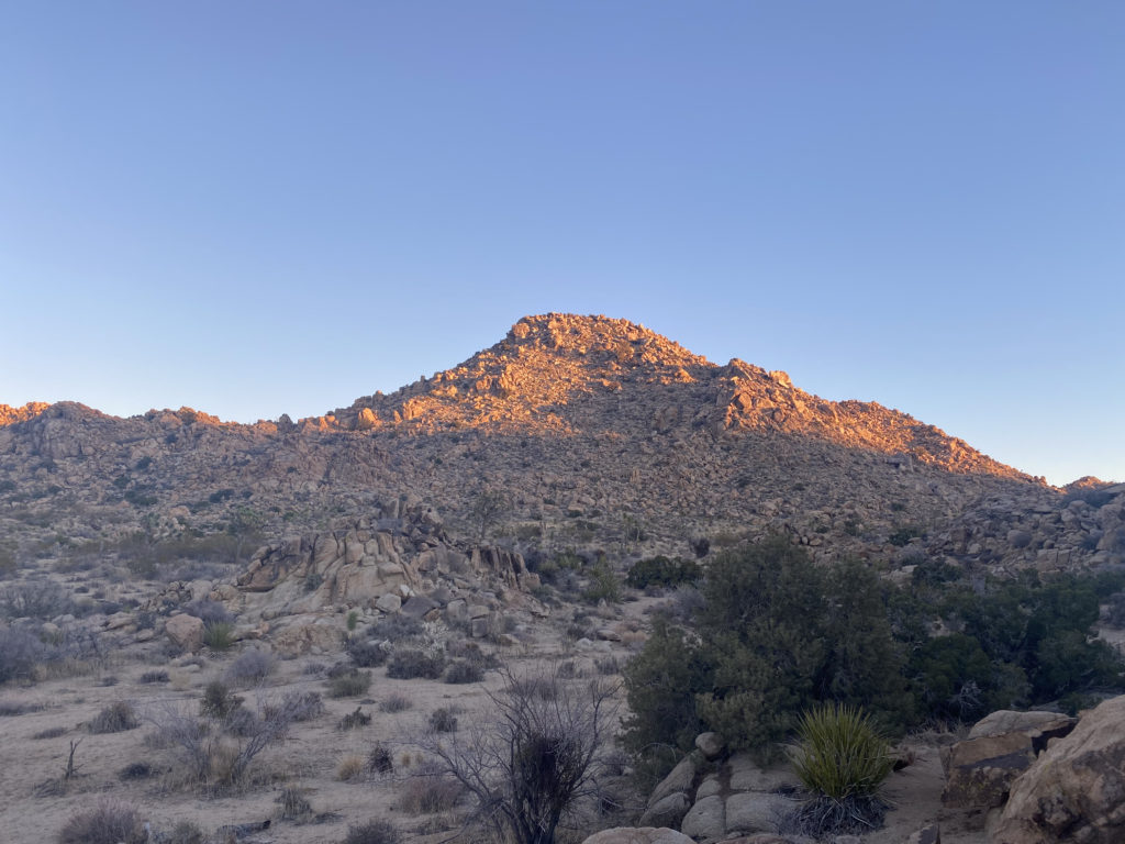
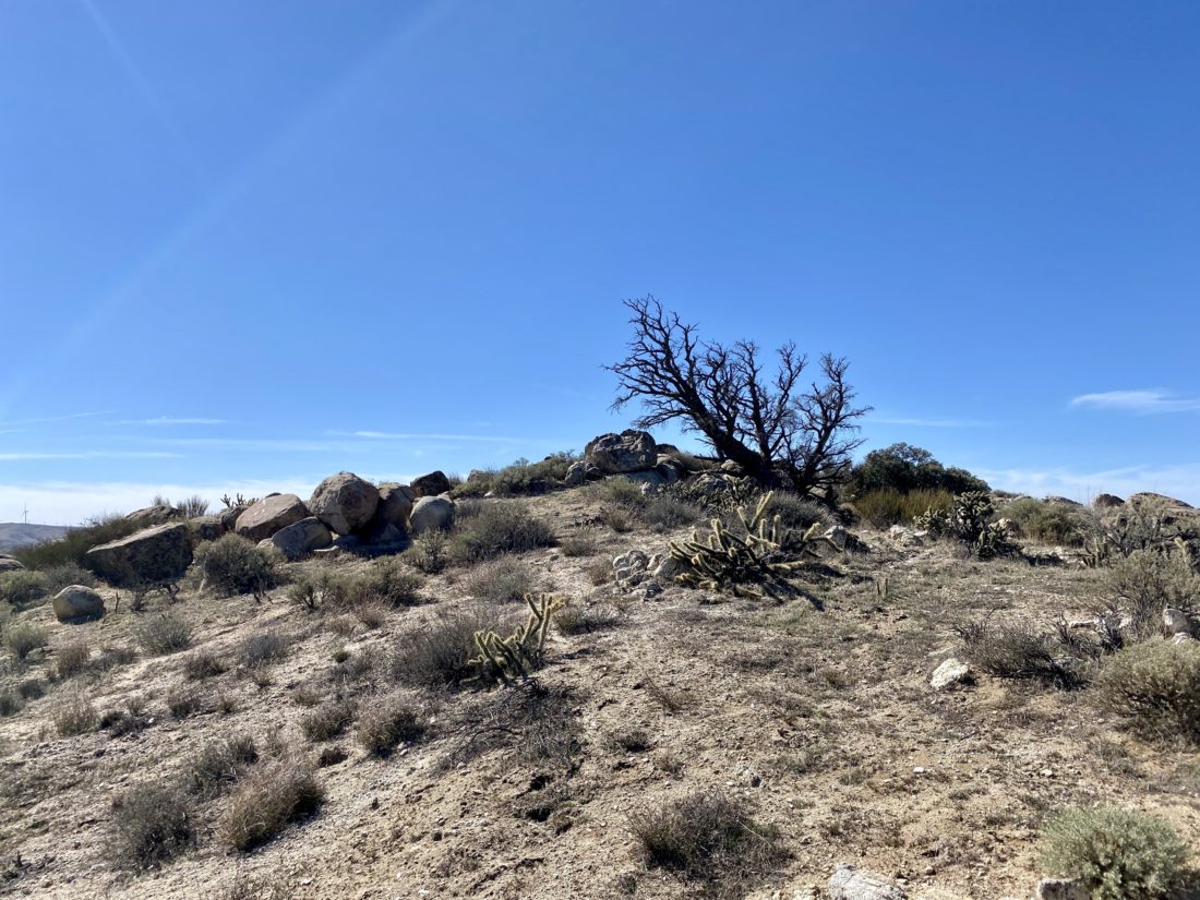
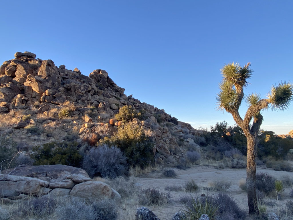
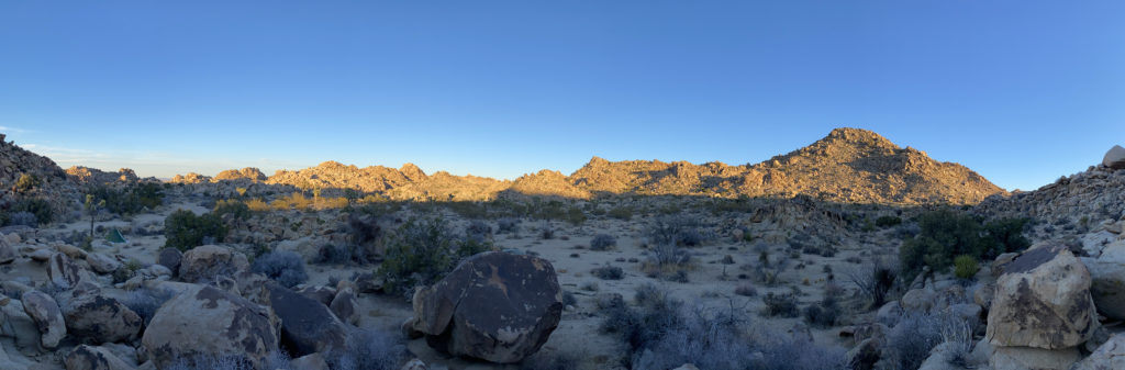
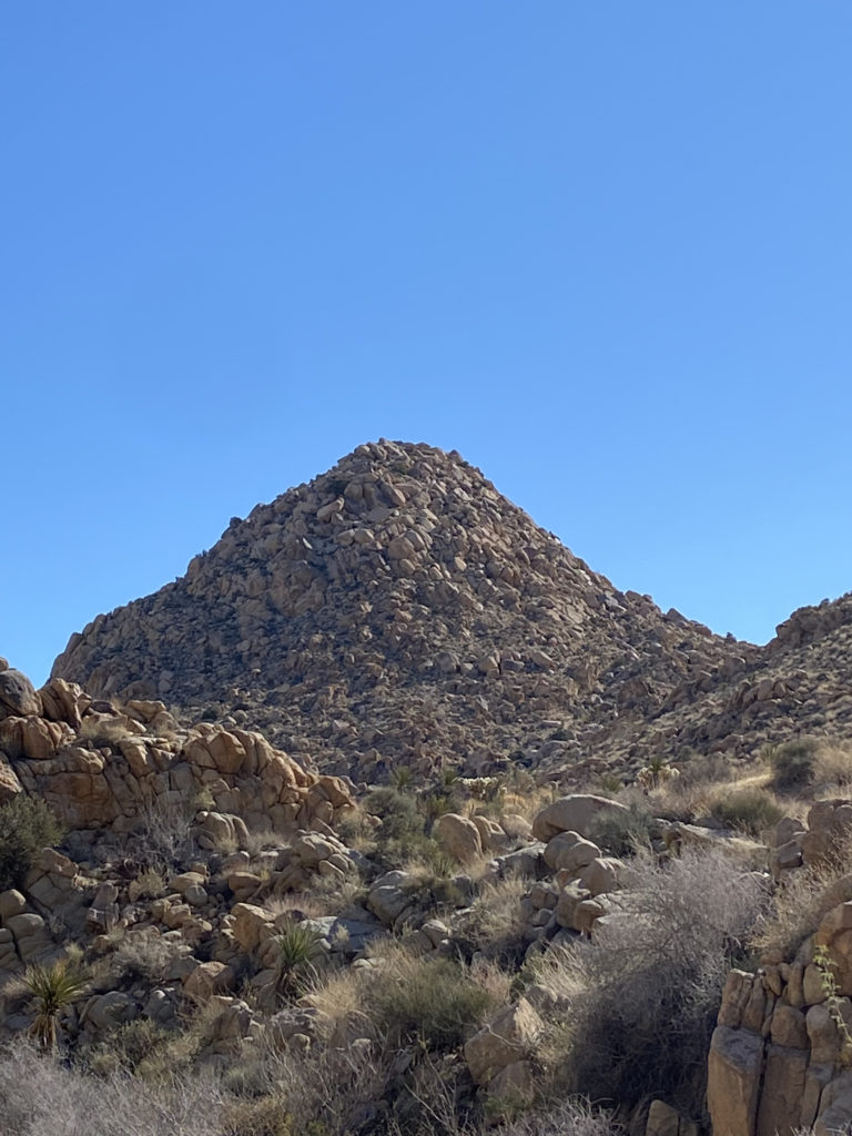
Off to my right, I could see Key Peak in the afternoon sun. We had been seeing several possible camping sites but decided to keep heading north just a bit. Not really finding anything else suitable, we retraced our route about .1 mile to a nice area near Keys Peak. We picked spots about 20 yards apart, so our snoring did not bother each other. Once camp was set up, we headed over to the base of the peak.
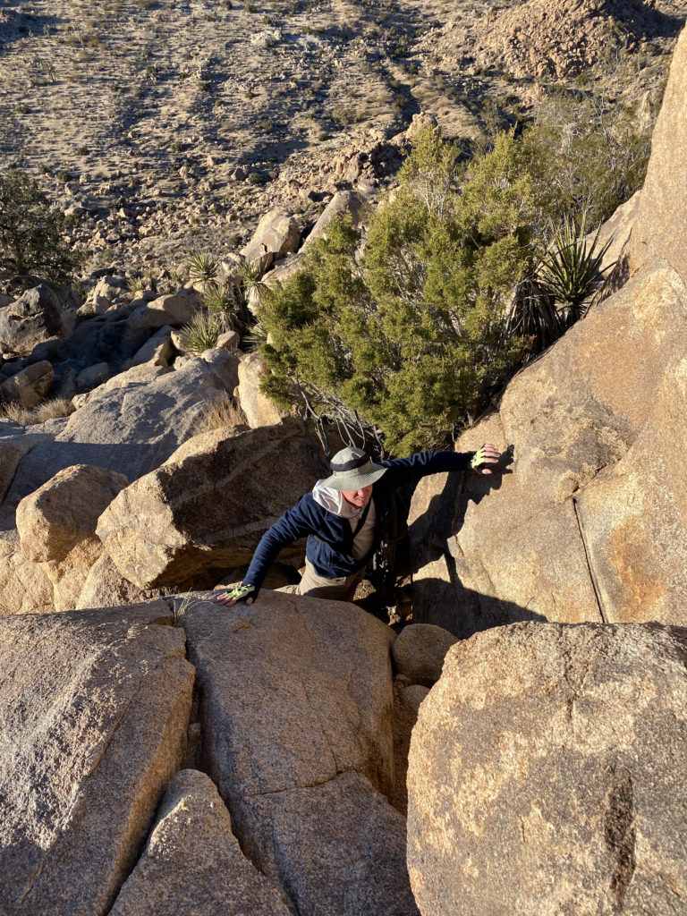
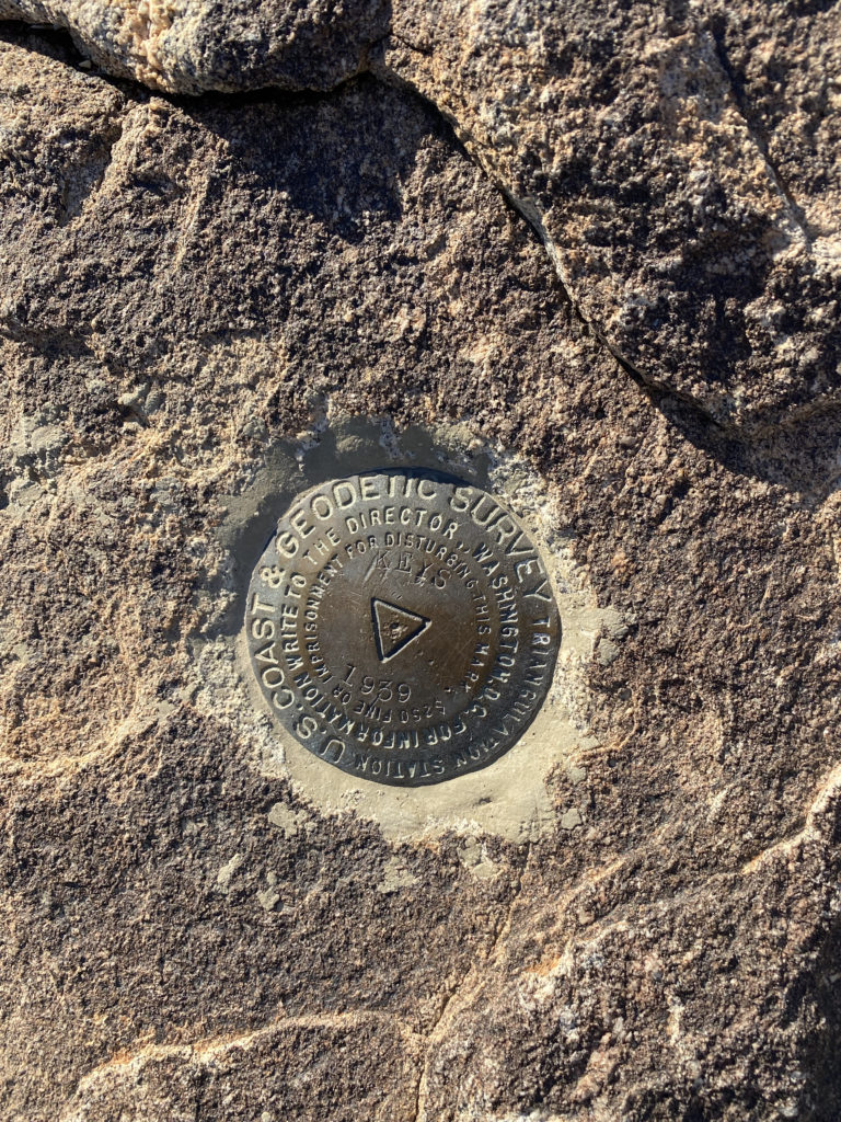
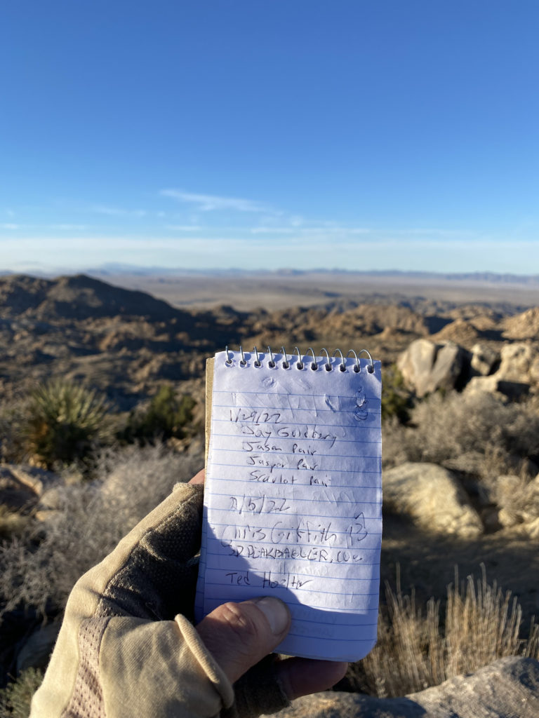
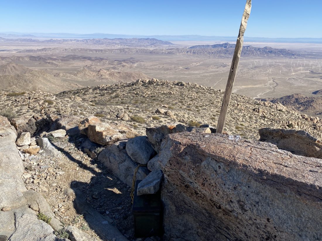
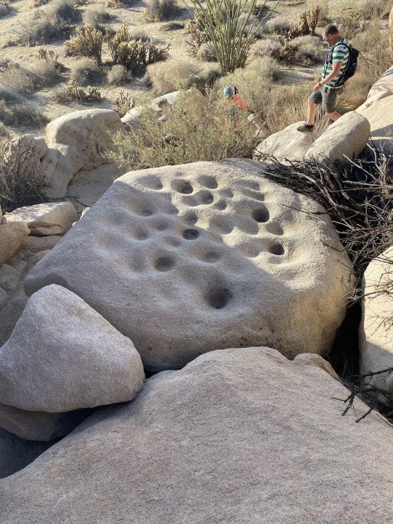
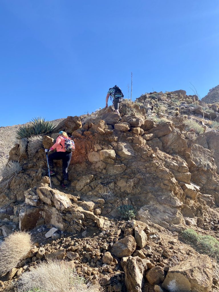
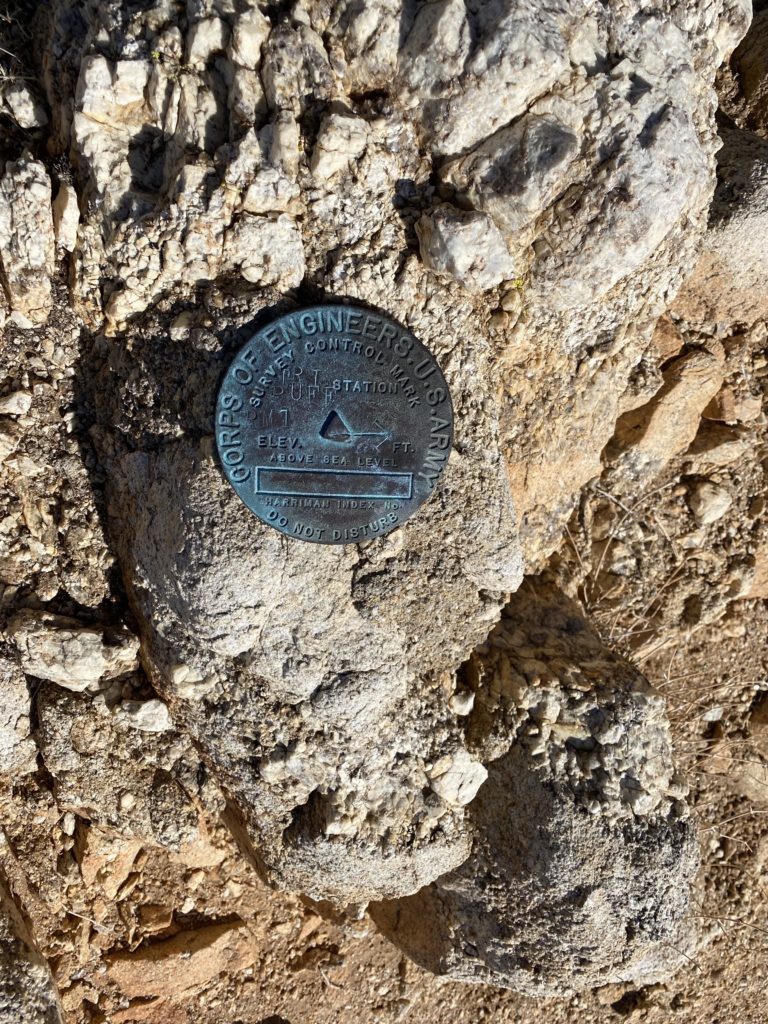
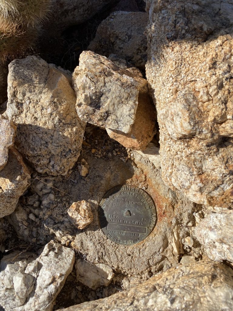
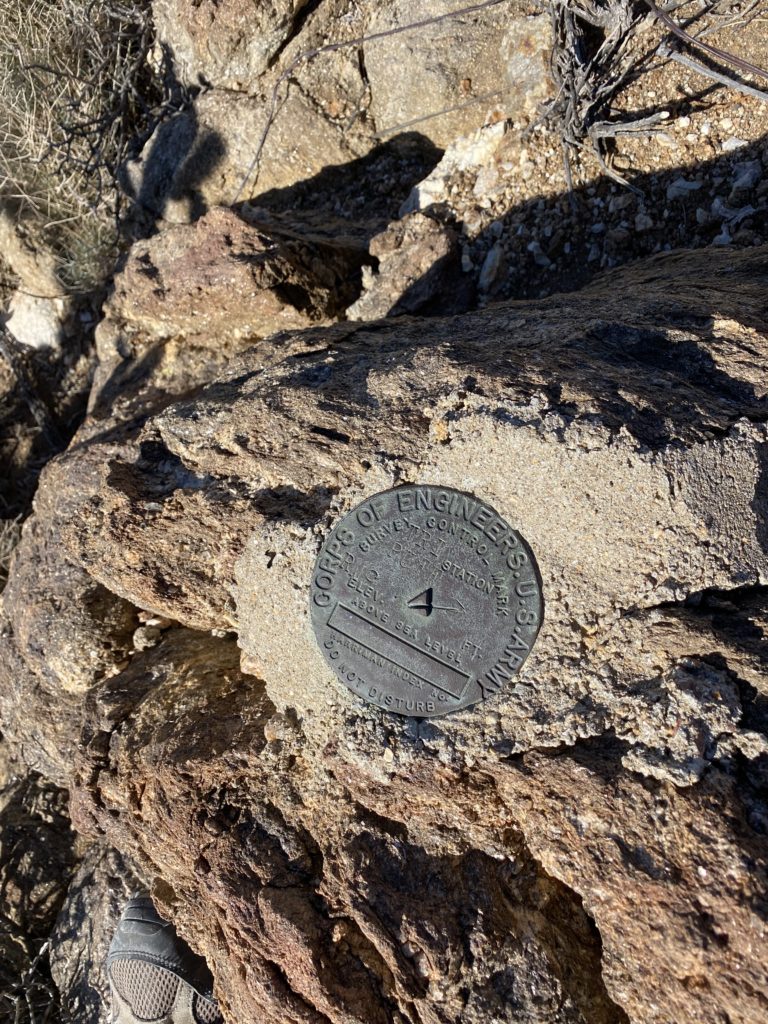
I looked at the western face and felt that we could tackle it straight on until near the summit where the rocks looked larger and we would stay to the right for the last bit. While I spotted one cairn near the start, I did not see the next one. No matter, the terrain did not provide any issues. About halfway up, something shiny caught my eye, and I found a mylar balloon caught in a bush, so I headed over to collect it. Once the trash was packed away, I headed back toward my original route. As I expected, toward the top, there were a few Class 2 sections to scramble through, but soon we were on the summit. I found the benchmark and register. We snapped our photos and took advantage of cell service to check in with our spouses. The sun was setting and there was a light breeze, so I was eager to climb back down and start thinking about dinner. Coming down, I quickly found the string of cairns that guided us back to the desert floor. This little excursion was .5 miles with just over 325 feet of gain.
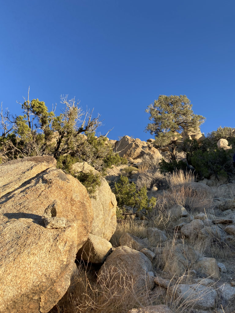
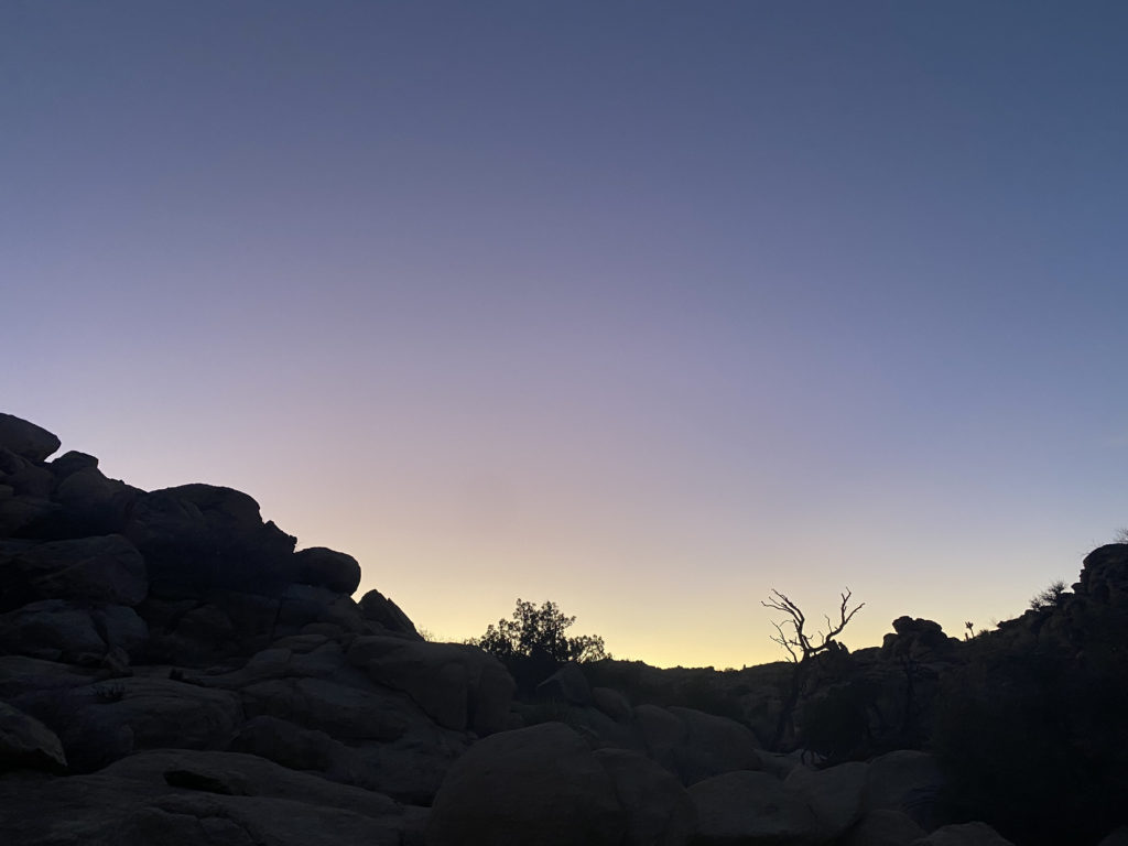
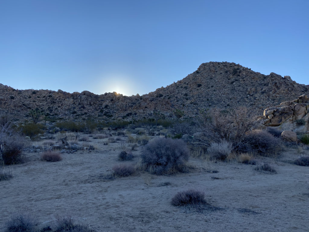
As the sun’s light began to fade, I sat back and enjoyed the changing light upon the rocks around us. We each had our dinners and some beers we had packed in as well. It was getting colder, so we each retreated to our tents for the night. Ted had brought a tripod and DSLR in hopes of getting some nice star shots later once the sliver of moon had set. I did not have the best night’s sleep, as I needed just a bit more warmth. I woke before the sun crested the hills to the east, and Ted was up soon thereafter. Ted took a bit longer to get ready, so I scrambled up the mound of boulders to our west for a look around. Once we were done with breakfast, we finished packing and headed back onto the trail.
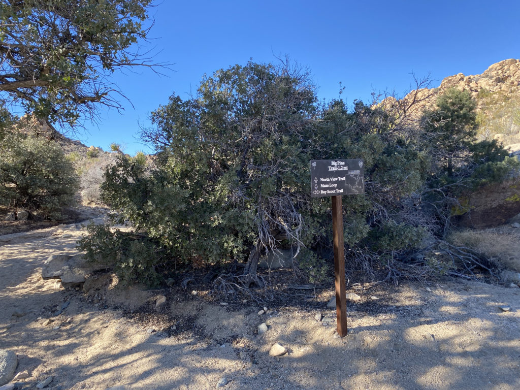
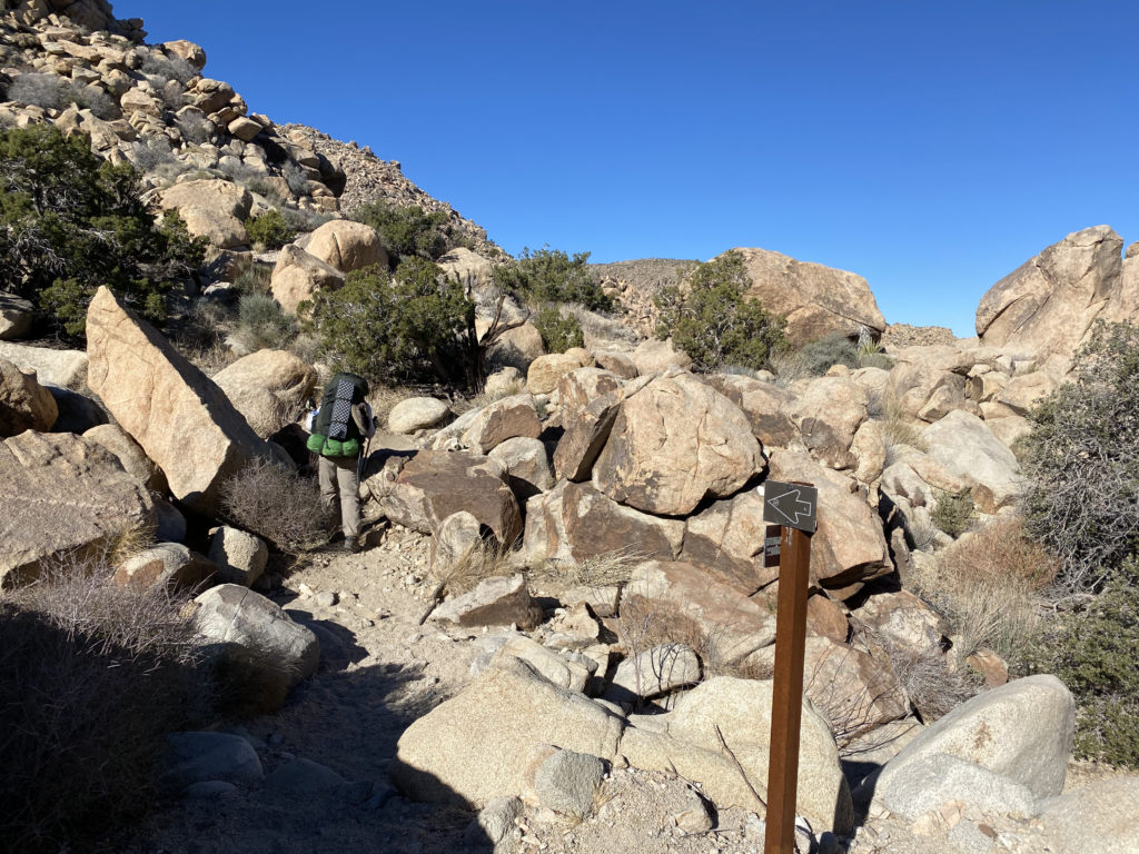
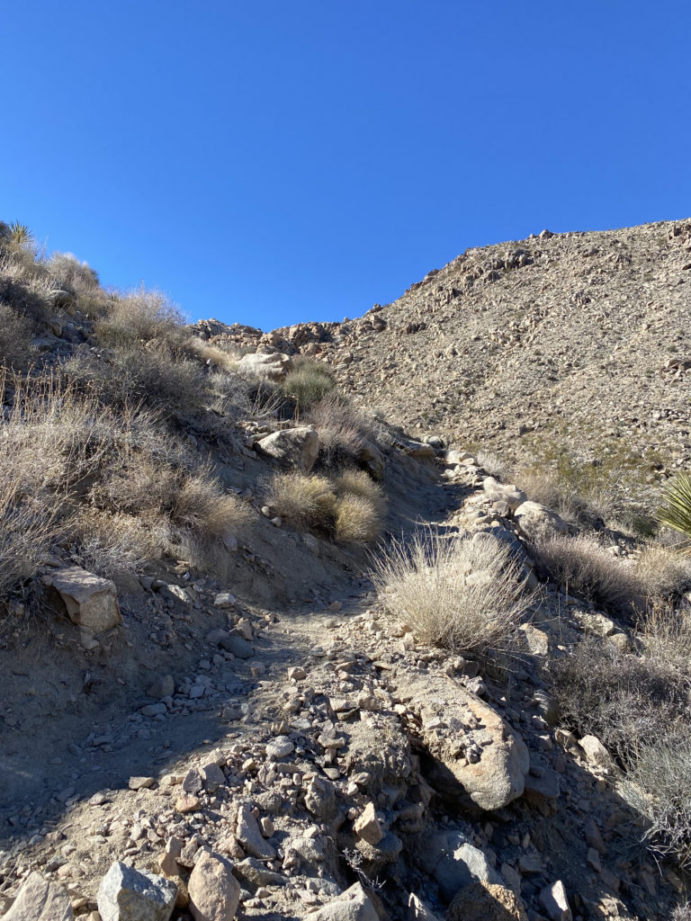
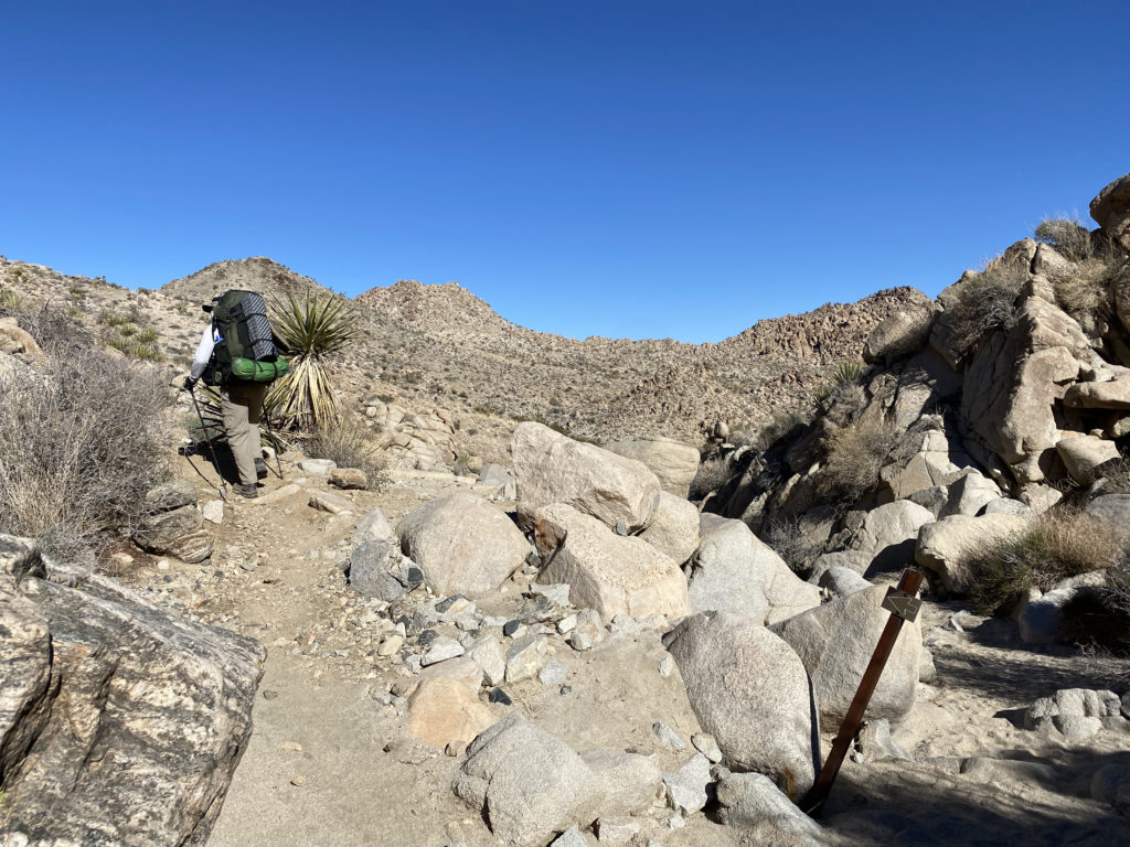
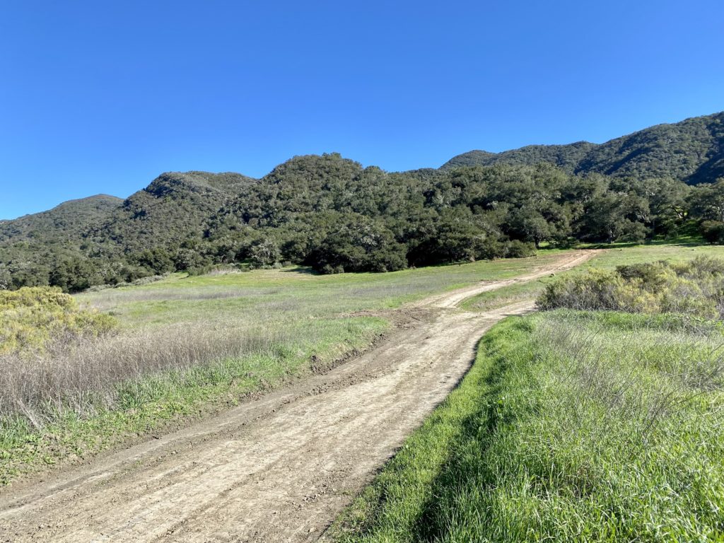
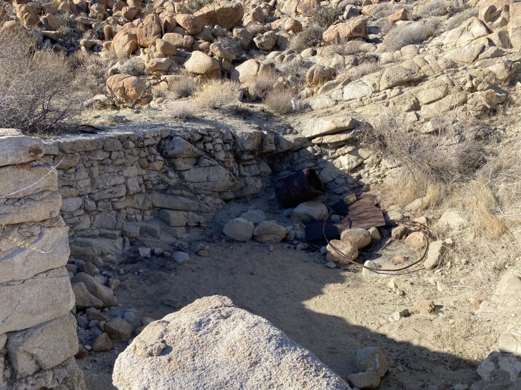
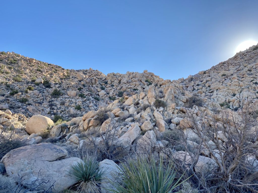
We came to the intersection with the Big Pine Trail that could take us to the west and eventually to the main road, but we continued working our way northward. The trail was getting rockier and rockier. There were a few boulders to work our way down, but nothing serious. It was more about having a backpack on versus a standard daypack. Along the way, we passed an old water basin from a nearby mine.
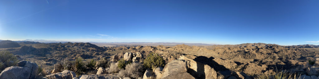
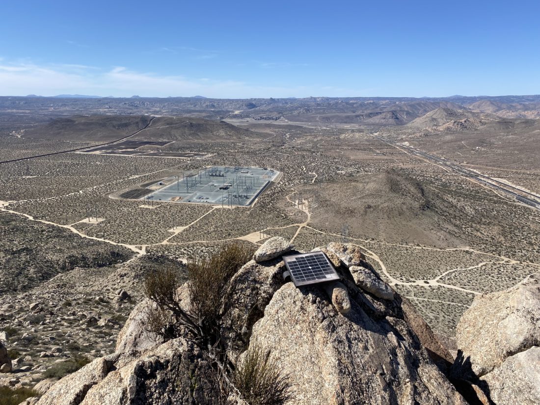
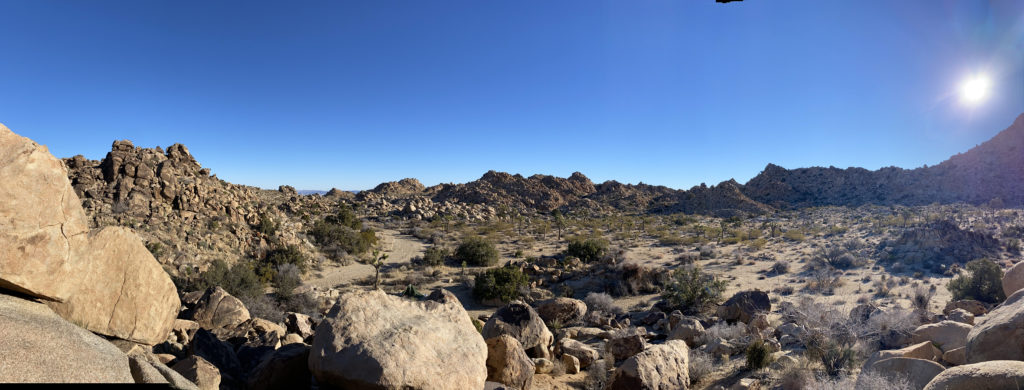
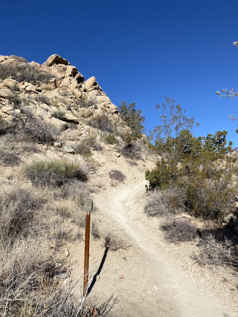
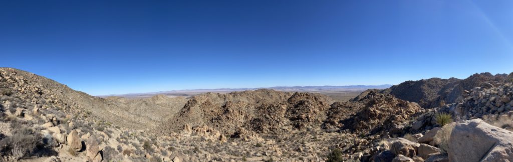
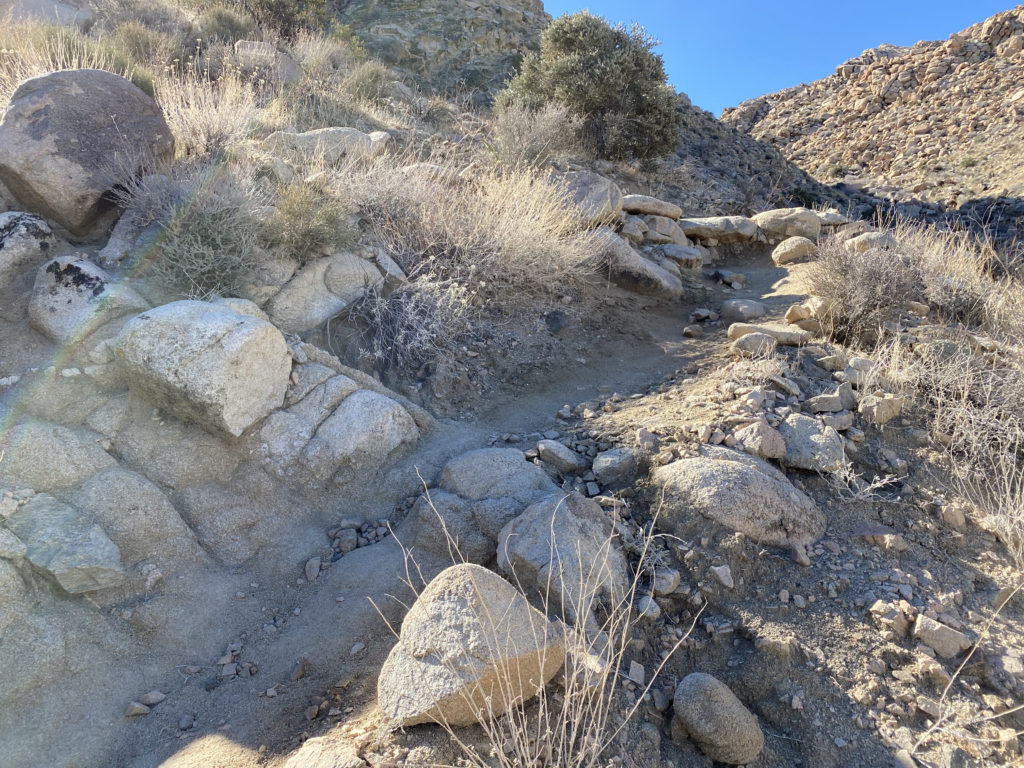
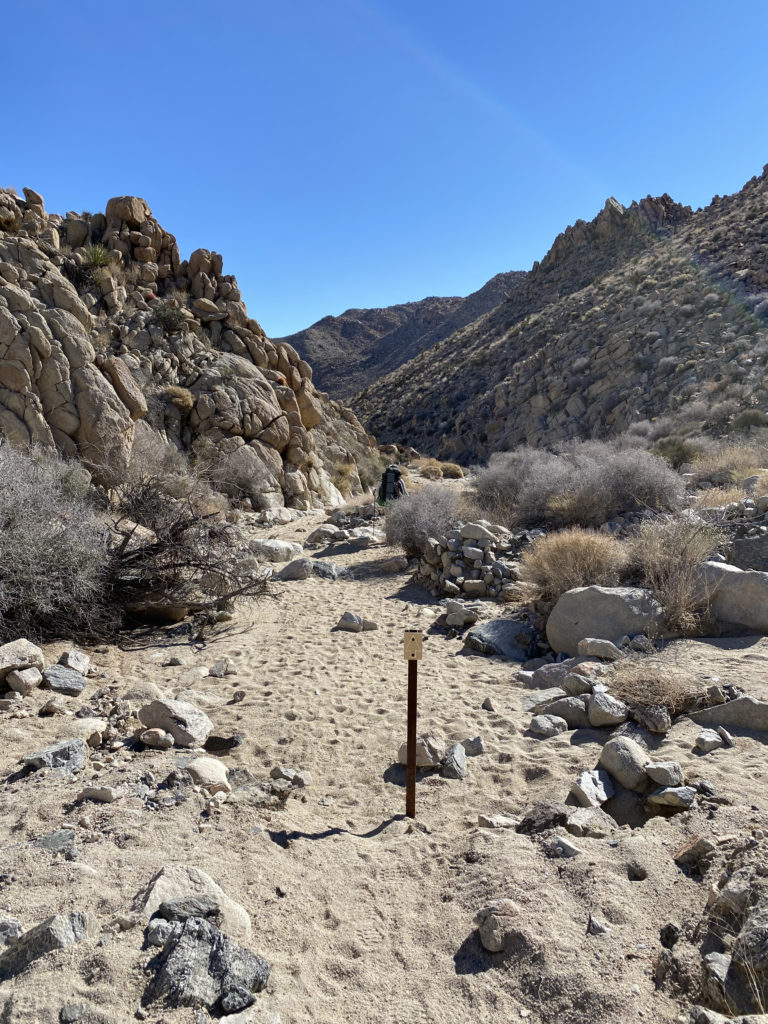
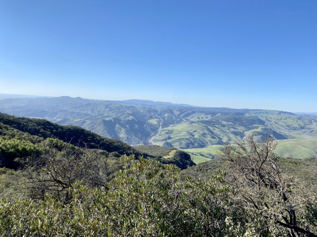
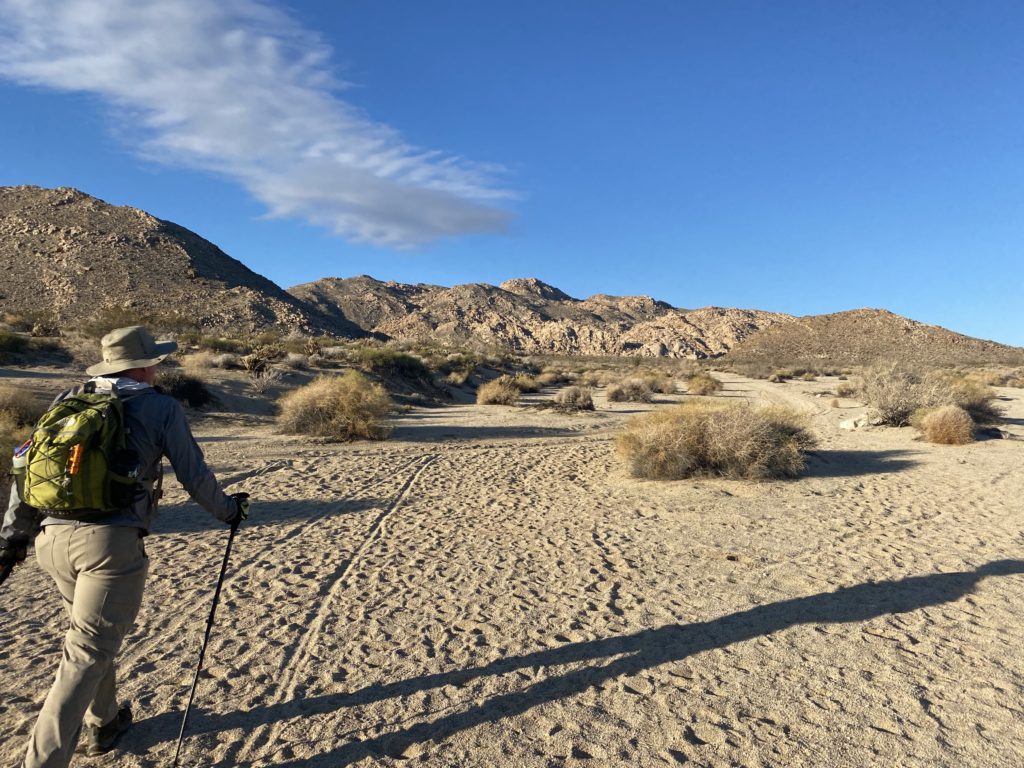
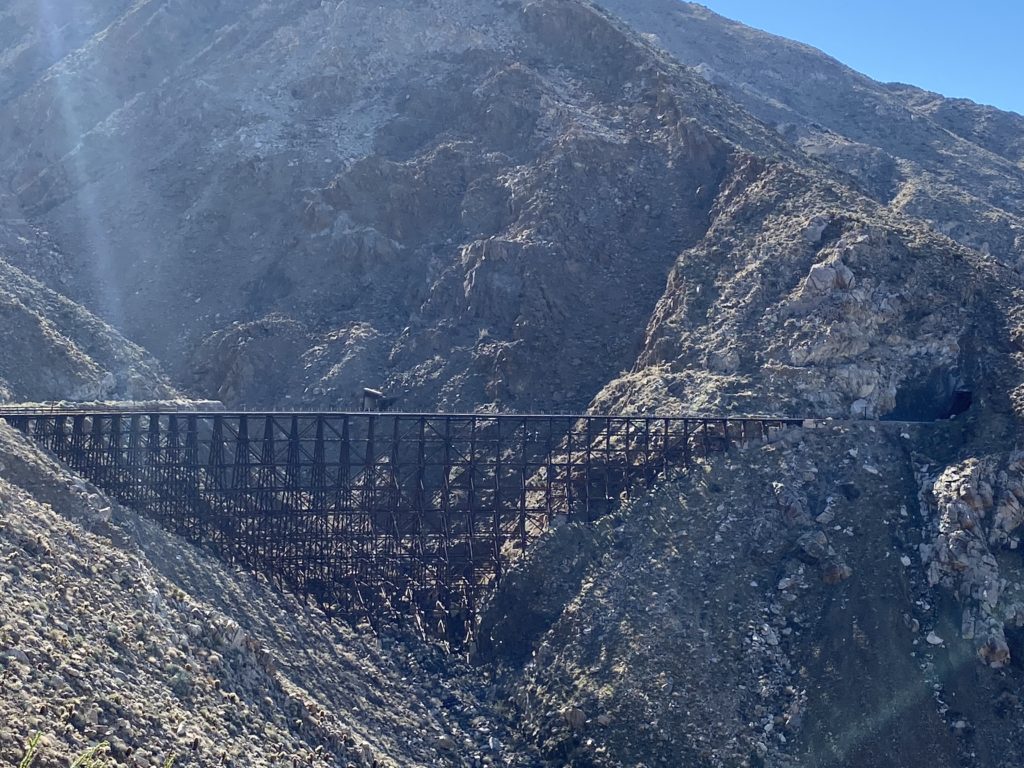
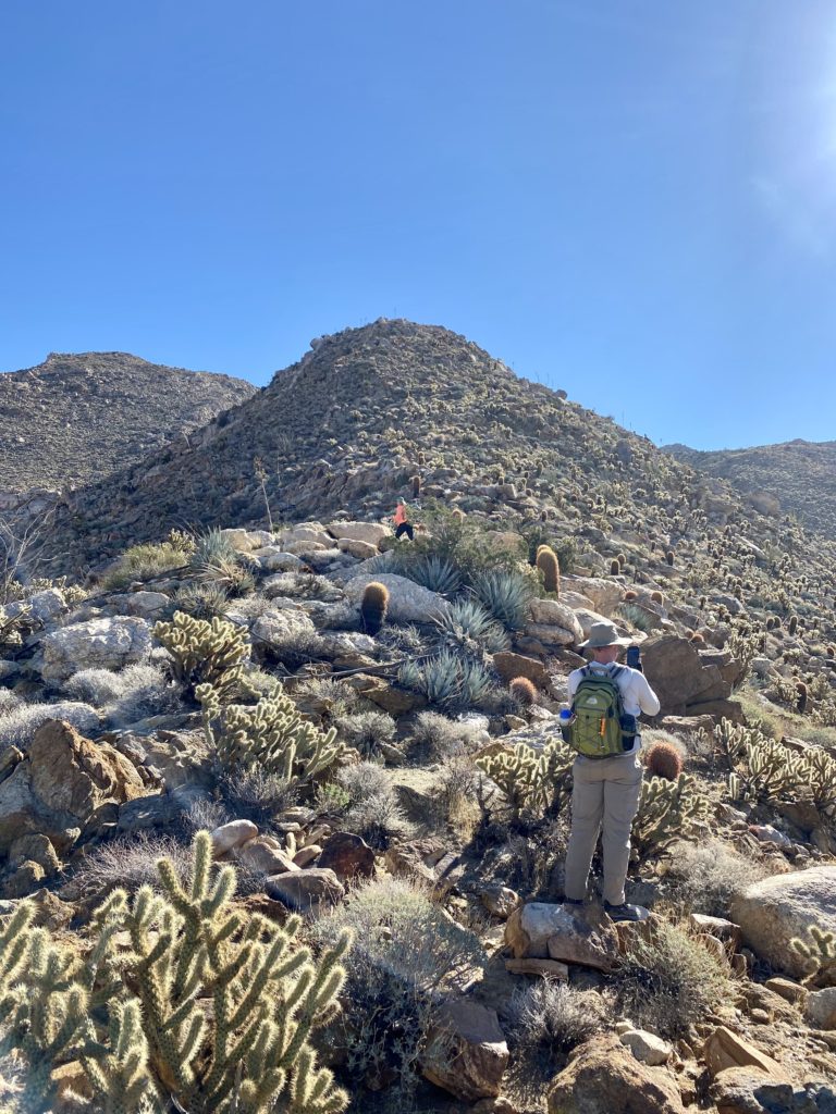
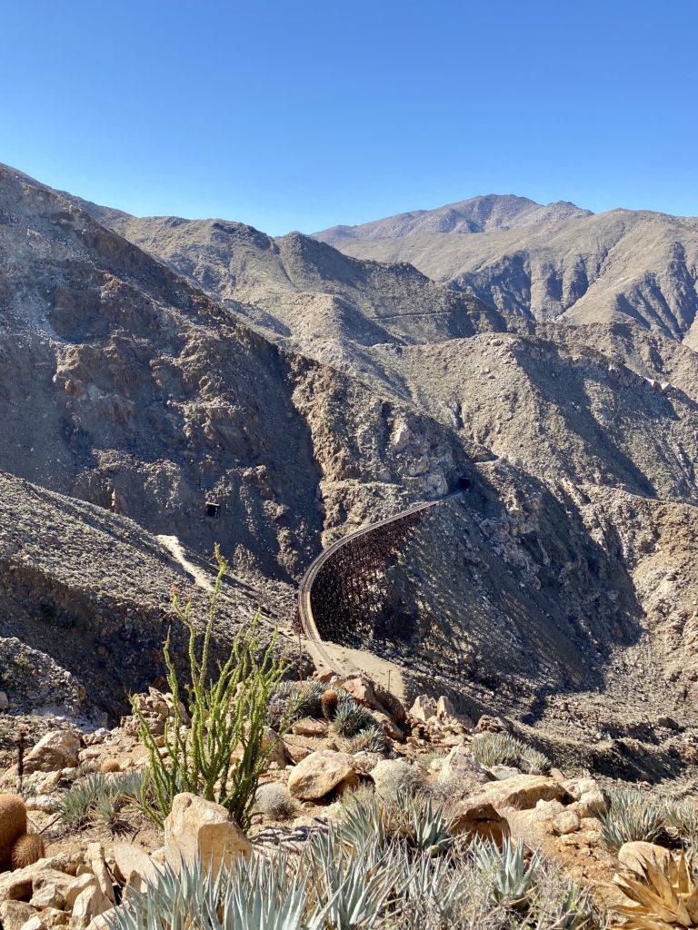
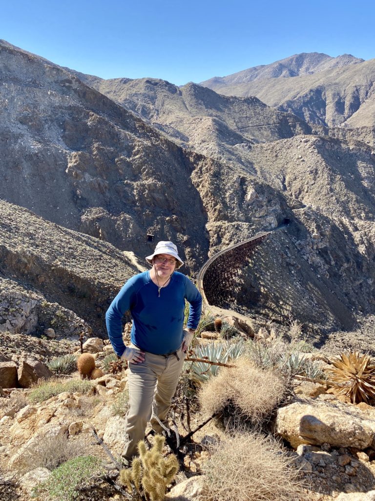
The trail markers kept us on the trail, although the route was very easy to follow. We had begun the descent toward the canyon that we would eventually follow out. Ted commented that we certainly picked the right direction, as climbing this with a full pack would take some effort. The next point of interest was the Boy Scout Viewpoint. This spot gave us an epic view toward the east. After capturing the panoramic view, we would descend through a series of switchbacks until we reached another wash. Here the trail made a hard right turn and began heading eastward.
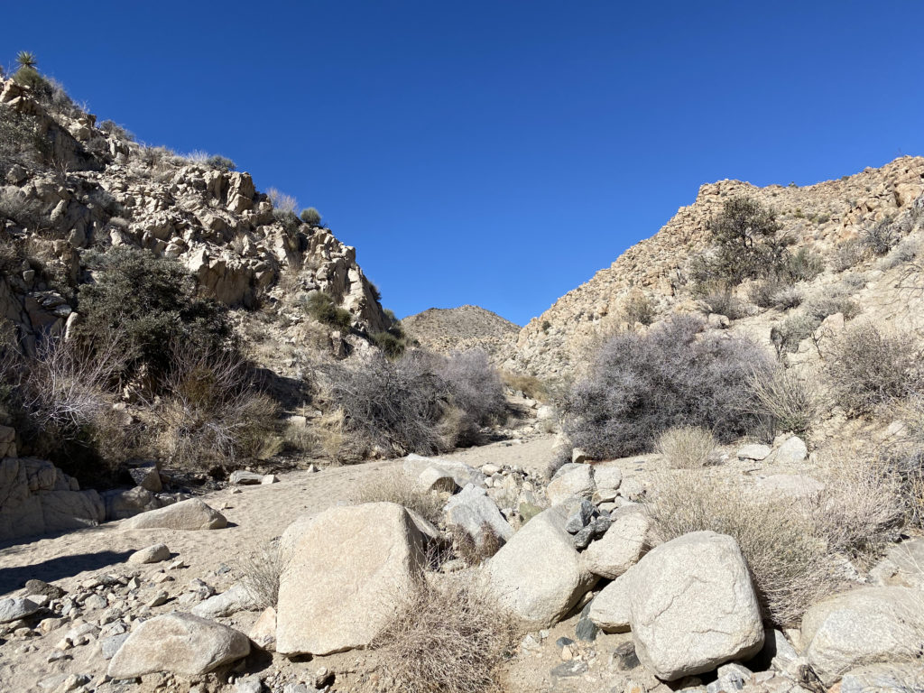
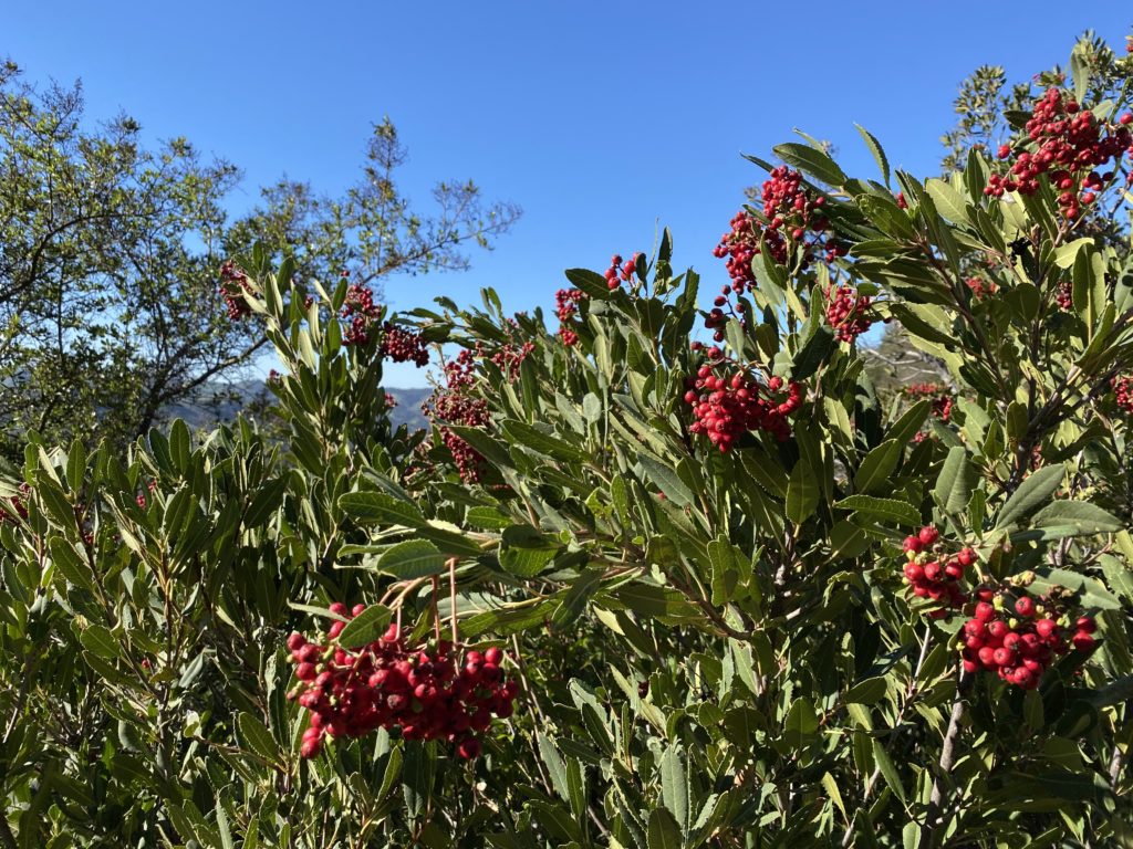
While trail markers would still guide us through the wash, there really is only one route to take. Various cacti would dot the sides of the wash and canyon walls, including some very beautiful and colorful barrel cacti. We still had some shade, so the temperatures were pleasant as we worked through the wash and the narrow slots. I kept an eye on our track for the turn-off to climb Mount Mel. I wasn’t certain if I was going to do it as the poor sleep had not left me overly eager to scramble up the rocky slopes to this summit. Once at the turn-off, I looked at it and decided to skip it. It is close enough to the other trailhead that returning another time was not going to be an issue.
Finally, the trail left the wash, then hugged the side of the hill before exiting into the wide flat desert. From here we had a long gradual downhill hike back to the car. This trailhead only holds about 6-7 cars, and there were a few open spots. There are no facilities, but both the ranger station and Indian Cove campground do. We changed our shirts and shoes and headed back to go get my car. Along the way, we grabbed lunch at the Crossroad Cafe. They had a one-hour wait, but that gave us time to go into the park, get my car and be back in time. After lunch, Ted and I said our goodbyes until our next adventure.
Day 1: 3.93 miles, 1:35 with maybe 200 or so feet of gain.
Day 2: 4.45 miles, 2:09 with 1,280 of loss.
I am an avid peak bagger, sometimes backpacker, and former sea kayaker living in San Diego. I am the co-author of Urban Trails:San Diego, coming in Spring 2026!
In 2019, I became the third person to complete the San Diego 100 Peak Challenge. Not stopping with that accomplishment, I set my sights on the harder San Diego Sierra Club 100 Peak list, which I completed in 2021. In addition, I have conquered several Six-Pack of Peaks challenges (SoCal, San Diego, Central Coast, and both the Arizona-Winter and Arizona-Summer). I am looking forward to exploring new summits and new adventures across the southwest.