Trip Reports

Telescope Peak

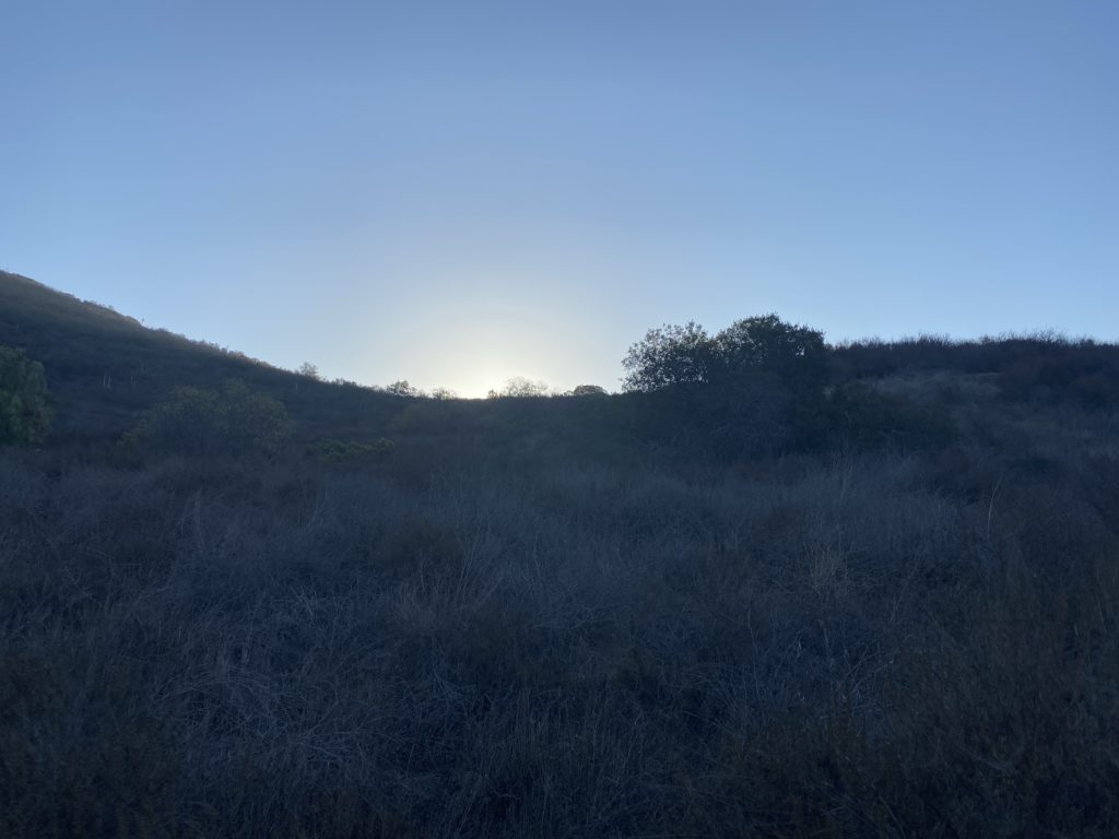
With all the forest closures, I wasn’t sure where I might go hiking. As fortune would have it, I found myself driving up to Mahogany Flat campground to tackle Telescope Peak. My wife had volunteered to help a family friend, so she would be busy for part of the weekend. I made the drive to the campground, which sits at just over 8,100 feet, with no issue. I set up my tent and relaxed. There was a bit of a breeze but it was fine. I watched the sun set across Death Valley to my east and had my dinner. As the evening fell, the winds began to pick up, & I moved my car to provide a bit of a break. I had planned to enjoy more of the night sky but retreated to my tent. The winds would rattle my tent all night long, waking me from time to time.

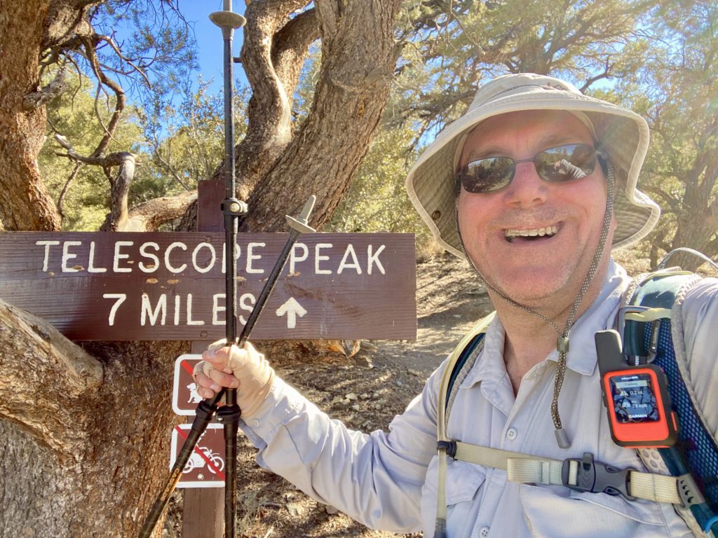
I woke just before dawn and captured a gorgeous sunrise, then made my breakfast and began gearing up. About 7:30, I signed my name in the trail register and set off. This hike can be thought of in three parts; the first 2 miles up the ridge near Roger’s Peak, the next 2 miles or so across the meadow, then the final climb to the summit.

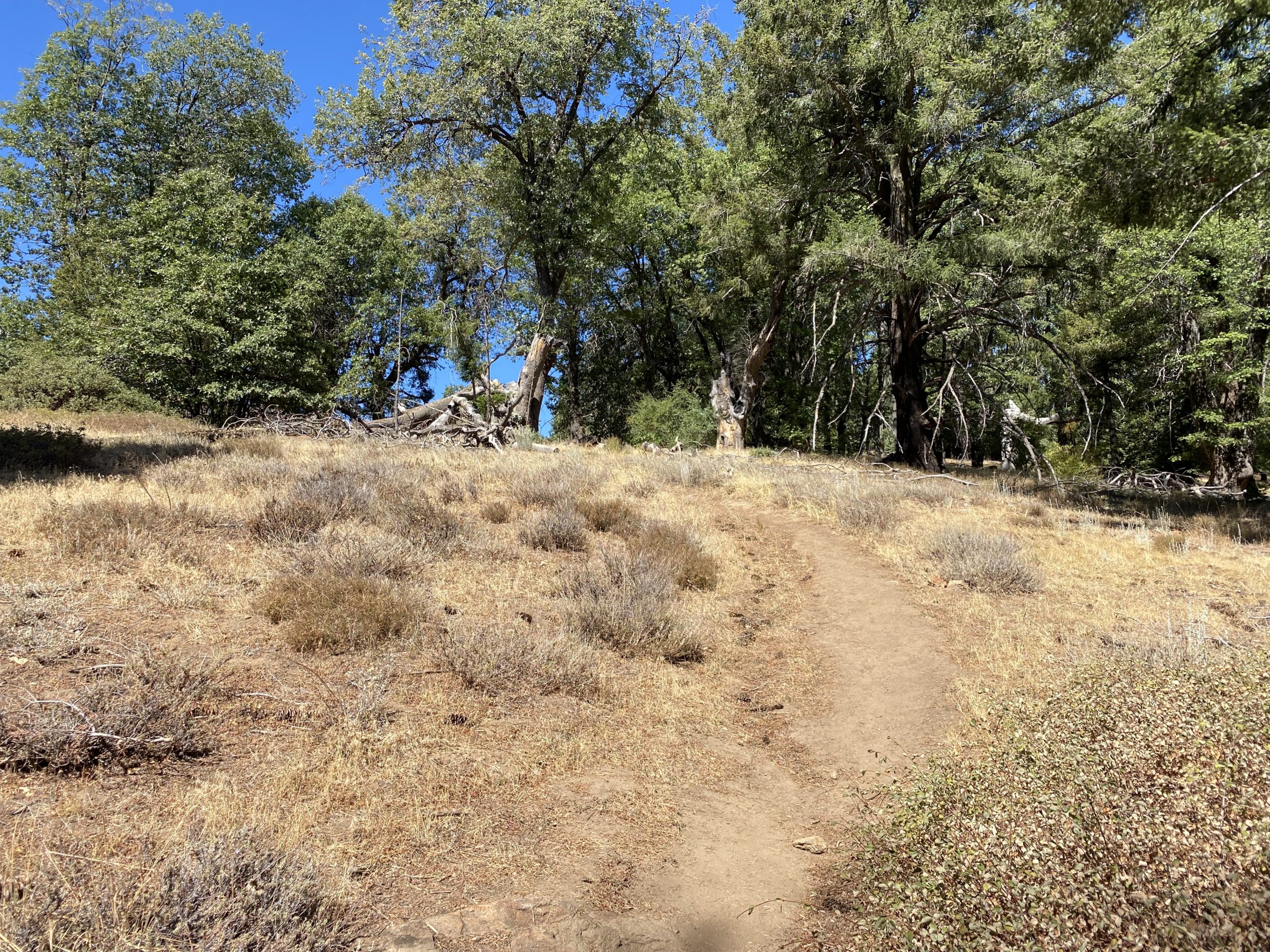
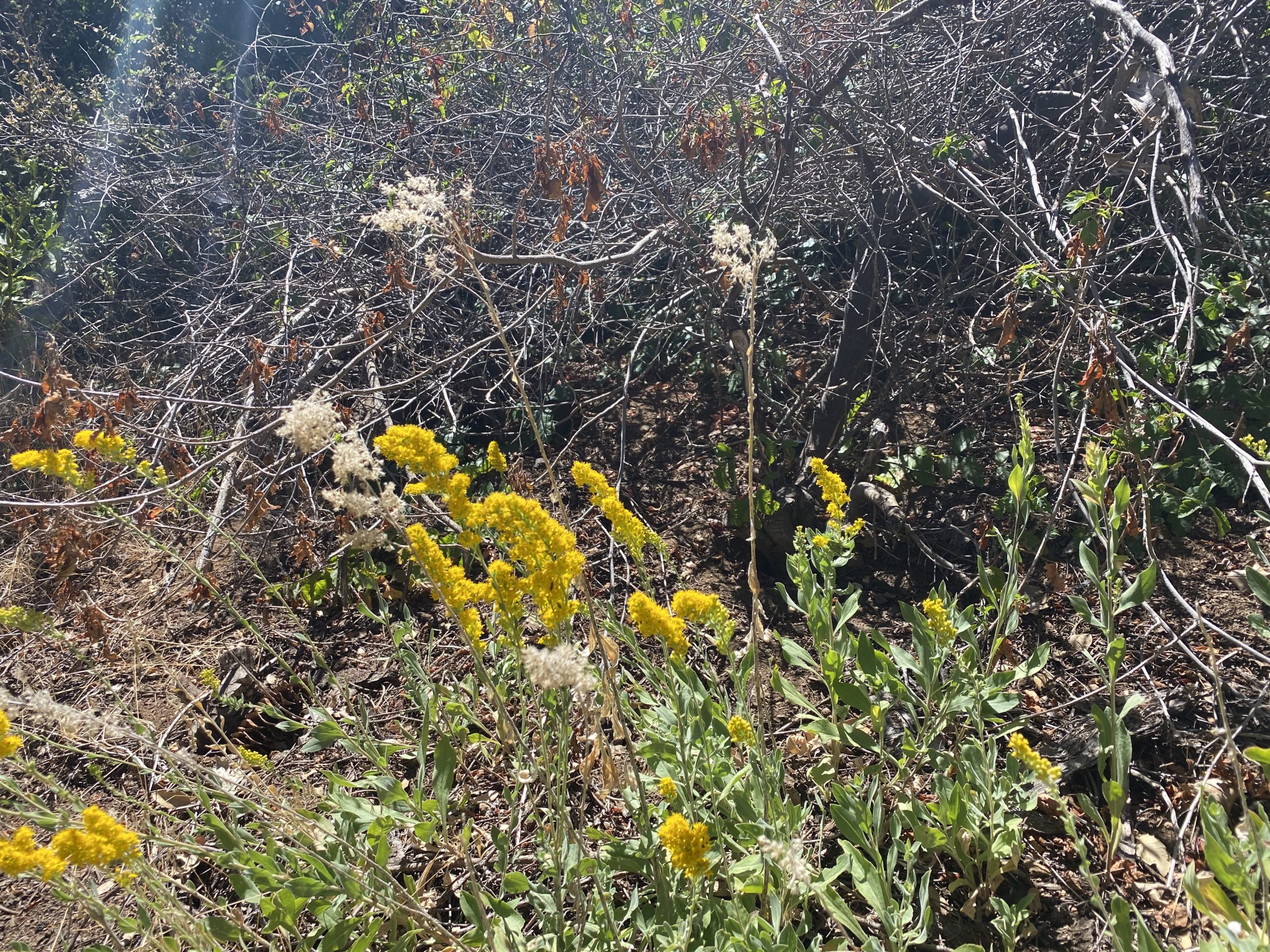
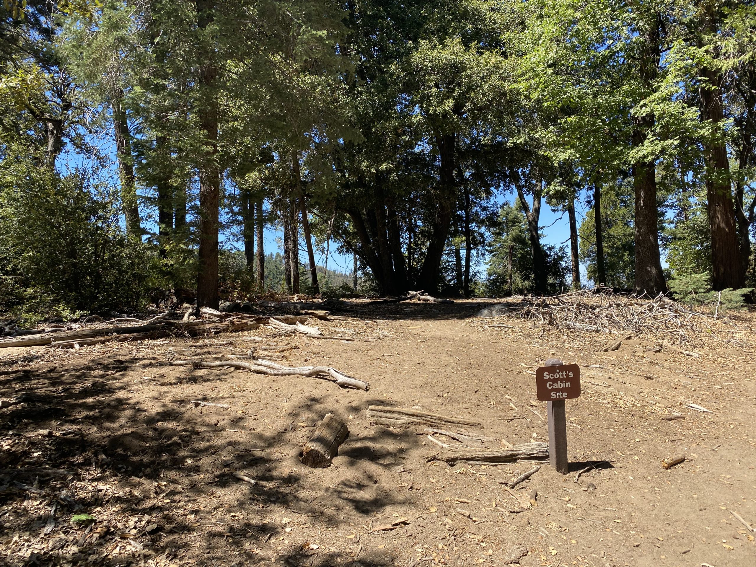
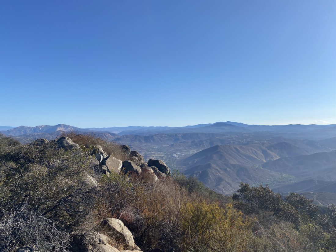
Knowing this, I kept a measured pace as I made my way through the various pine trees. Sweeping views of Death Valley would show themselves to my east. Over these first two miles, I would gain almost 1,500 feet. Once at Arcane Meadow I found the cairn that makes the use trail up to Rogers Peak, as well as a small campsite. It was here that I would get my first glimpse of Telescope Peak. I certainly had some climbing ahead of me.

The trail turned mostly south, wrapping around Bennett Peak. My view had shifted to the Panamint Valley to the west. Far off in the distance stood Mt. Whitney. The next two miles went quickly as the trail was mostly flattish, allowing me some time to recover from that initial push.

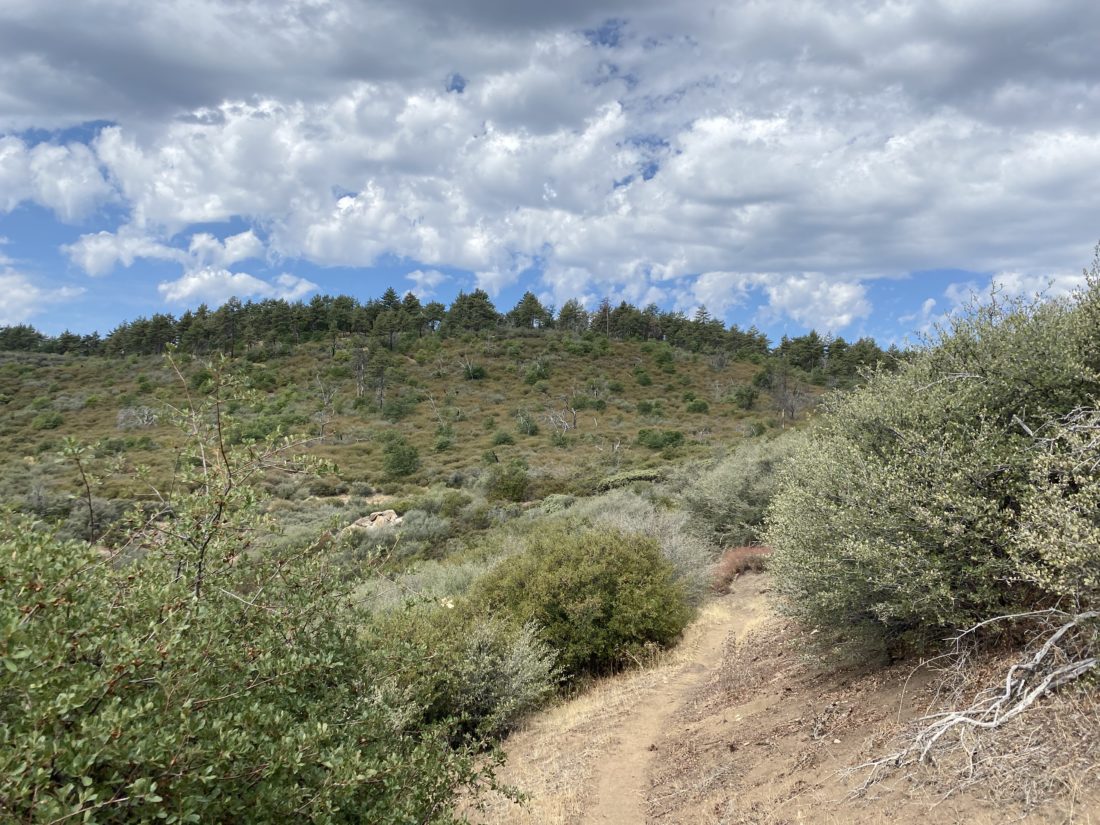
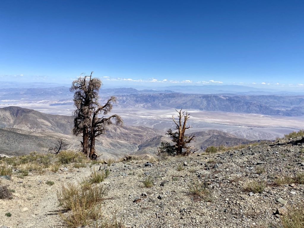
As Telescope Peak drew nearer, some Bristlecone Pine began to dot the landscape. I took a short break before the last mile or so to the summit. There were about 11 switchbacks ahead of me and another 1,400 feet of gain. Between the thinner air, a less than restful night of sleep, and a poor choice of breakfast, I was struggling. I would pause frequently to catch my breath and focus my energy.

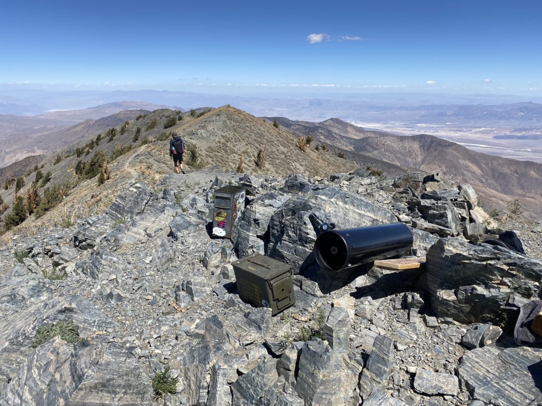
Finally, the summit came into view! The trio of hikers I had been leapfrogging had arrived just a bit before me. I dropped my pack and sat against the rocks. The views were tremendous, as there was hardly a cloud in the sky. Mt. Charleston could be seen to the east, Mt. Whitney off to the northwest. After eating my lunch, I snapped my photos, signed the summit register, and began my descent.

The wind was still blowing at times, taking the edge off the sun exposure. I looked at both Bennett and Rogers peaks. Initially, I had planned to bag them as well, but I was a bit wiped from that last mile to the summit and opted to skip them.

I took a break at Arcane Meadow before the last push down. My energy levels were a bit low, so I kept focused on the trail ahead of me. The miles would slowly tick down until the trail register appeared once again. I checked my watch and the 12.2 miles had taken me 8:18. Once back at the campsite, I decided to pack up and head home. Unlike when I drove up, I did stop at the Charcoal Kilns and take a look around. I am glad to have had a successful summit and am ready to tackle my next big peak!


Buy Me a Coffee at ko-fi.com

I am an avid peak bagger, sometimes backpacker, and former sea kayaker living in San Diego. I am the co-author of Urban Trails:San Diego, coming in Spring 2026!

In 2019, I became the third person to complete the San Diego 100 Peak Challenge. Not stopping with that accomplishment, I set my sights on the harder San Diego Sierra Club 100 Peak list, which I completed in 2021. In addition, I have conquered several Six-Pack of Peaks challenges (SoCal, San Diego, Central Coast, and both the Arizona-Winter and Arizona-Summer). I am looking forward to exploring new summits and new adventures across the southwest. 

Kanaka Flat Loop

Decided to return to the Santa Ysabel East Preserve and hike the Kanaka Loop again. Two fellow peak-baggers had just hiked this as part of their attempt to do the Julian Hiking Challenge in a day. One of the issues they ran into was the gate to the parking area doesn’t open until about 8 am. Since it was Labor Day, I had no problem “sleeping in” before driving out to the trailhead. As I made my way onto Wyola Road, I spotted the County Park Ranger’s truck two cars ahead of me. Passing the trailhead for Volcan Mountain, there were already about 15 cars parked along the side of the road. The ranger unlocked the gate, and I followed him in. I gathered my gear, then chatted with the ranger for a bit before heading off.

The trail initially follows Santa Ysabel Creek for the first 1.5 miles. A few cows milled about chopping on the dried grasses. The trail would duck in and out of the shade from the oak trees. There were some bugs buzzing about. Initially, I ignored them, but I finally stopped and broke out the bug net. Along the way, a new throne had been created from the stump of a fallen red oak.

I crossed over the creek and began the climb up to Kanaka Flats. The trail climbs about 300 feet in just under 7/10ths of a mile, so you will get a nice workout after the relatively flat first section.

The Kanaka Loop is about 2.5 miles in total. I debated if I want to go clockwise or counterclockwise. I opted to go clockwise. This meant continuing to climb a bit more to the high point on this trail. Once near the selfie spot from the Coast to Crest Challenge, I found some shade under some nearby pines and took a short break. The day was getting warm and for much of the loop, there was going to be no shade.

After the break, I set off again. I was surprised I had not seen any more cows. As I approached the western end of the loop, I saw two ranchers tending to the herd that was currently corralled. I guess that answers that question about where the cows were. I gave a friendly wave to the ranchers and continued on.

As I descended back down to the creek, I kept an ear out for the ranchers, as I knew they would be driving back out. At the creek, I spotted the bridge just to the west of where I crossed, so no need to rock hop this time.

The hike back to the car was uneventful. One runner and two e-bike riders did pass me. The day certainly was heating up, and the idea of getting in a second hike quickly was dismissed. The heat also stopped my friend’s attempt as well. Back at the car, a family was just about to head out and asked if I had any sunscreen, which I was glad to lend to them. They were hoping to still find some berries to pick. I wished them good luck and to be mindful of the heat. I popped into Don’s Market and grabbed a cold soda and headed home. All told the hike was just over 7 miles with 994 feet of gain. I did the lollipop at 2:37 including my break.


Buy Me a Coffee at ko-fi.com

I am an avid peak bagger, sometimes backpacker, and former sea kayaker living in San Diego. I am the co-author of Urban Trails:San Diego, coming in Spring 2026!

In 2019, I became the third person to complete the San Diego 100 Peak Challenge. Not stopping with that accomplishment, I set my sights on the harder San Diego Sierra Club 100 Peak list, which I completed in 2021. In addition, I have conquered several Six-Pack of Peaks challenges (SoCal, San Diego, Central Coast, and both the Arizona-Winter and Arizona-Summer). I am looking forward to exploring new summits and new adventures across the southwest. 

Boucher Hill

Initially, I had planned to hike Guatay Mountain as part of helping Ted Markus complete the Sierra Club, but with all the National Forests closed due to fire danger, we had to pivot. Between the closures and hikes that are located in Anza-Borrego, we were left with just a couple of options. Since his knee was feeling a bit sore, we decided that Boucher Hill would be a good call. In fact, we both brought our wives to tag along. 

We drove up the mountain and paid the $10 day-use fee at the ranger station, then parked at the Silvercrest picnic area. I brought some spare hiking poles for the ladies, just so they would not feel left out. While you can drive to the actual summit and fire lookout tower, we planned to hike from the picnic area, up to the lookout, then loop back passing the Scott Cabin site.

We made our way up to the lookout tower without issue. There were a few folks hanging out. Due to Covid-19, access to the tower was restricted, so we did not go up this time. From there, we set off on the loop, enjoying the nice trail. Once we reached the Cedar Grove campground, we began the climb back up. The heat, elevation, and altitude slowed the ladies down some, but they took breaks in the shade and continued on. Soon, I spied one of the power poles and knew we were almost down. One final short but steep section and we were done. All told, we hiked 3.7 miles in 2:25, with a respectful 766 feet of elevation gain. Since they had earned their hiking chops, lunch at Burger Bench seem like the right call.


Buy Me a Coffee at ko-fi.com

I am an avid peak bagger, sometimes backpacker, and former sea kayaker living in San Diego. I am the co-author of Urban Trails:San Diego, coming in Spring 2026!

In 2019, I became the third person to complete the San Diego 100 Peak Challenge. Not stopping with that accomplishment, I set my sights on the harder San Diego Sierra Club 100 Peak list, which I completed in 2021. In addition, I have conquered several Six-Pack of Peaks challenges (SoCal, San Diego, Central Coast, and both the Arizona-Winter and Arizona-Summer). I am looking forward to exploring new summits and new adventures across the southwest. 

Coastal Trail

The Coastal Trail or Tidepools Trail, runs along the seaside of Cabrillo National Monument. The trail is a 1.1-mile point-to-point meander along the sandstone bluffs above the Pacific Ocean. At the south parking lot, there are toilets, and at times park rangers or volunteers staffing an informational table. This is the only trail at the National Monument that allows dogs. Usually, we can find a parking spot in the south parking lot, which is closer to where you can access the tide pools during low tide, otherwise continue driving down the road to use one of the two other parking areas at the north end of the trail.

The trail works its way along the bluffs, so except for the one tidepool access area, getting to the ocean isn’t possible. You will have some small rises to climb up and over, but most should be able to manage them without issue. There is a nice tidepool to explore when the water is right. With the opening of the Oceanside Trail, you can now safely hike down from the Old Lighthouse to this trail, making for a more worthy adventure.


Buy Me a Coffee at ko-fi.com

I am an avid peak bagger, sometimes backpacker, and former sea kayaker living in San Diego. I am the co-author of Urban Trails:San Diego, coming in Spring 2026!

In 2019, I became the third person to complete the San Diego 100 Peak Challenge. Not stopping with that accomplishment, I set my sights on the harder San Diego Sierra Club 100 Peak list, which I completed in 2021. In addition, I have conquered several Six-Pack of Peaks challenges (SoCal, San Diego, Central Coast, and both the Arizona-Winter and Arizona-Summer). I am looking forward to exploring new summits and new adventures across the southwest. 

McGinty Mountain

Since it was my daughter’s last weekend before returning back to her college campus, I opted to stay local rather than continue to work on the SoCal Six Pack of Peaks. Since Ted was free, we decided to go hike one of his remaining Sierra Club 100 peaks. He has about 7 peaks left that are not out in Anza-Borrego, so it made the choice a bit easier. We settled on McGinty Mountain, a nice 4.5 mile hike out near Jamul. We parked in the lot, and there were three other cars already there.

We set off along the trail, enjoying the shade while we had it. Once we left the shade, we could feel the heat as we climbed up the middle section of this trail. Just about when the mine comes into view, we again had some shade. We took a short break here to recover a bit before pushing on to the summit.

Once at the summit, we took in the views. A nice marine layer was spread out before us to the west. We did not stay long as it was starting to really heat up. We passed three other hikers making their way up. Once back at the car, the temperature were already 82°F at 9:30 am.


Buy Me a Coffee at ko-fi.com

I am an avid peak bagger, sometimes backpacker, and former sea kayaker living in San Diego. I am the co-author of Urban Trails:San Diego, coming in Spring 2026!

In 2019, I became the third person to complete the San Diego 100 Peak Challenge. Not stopping with that accomplishment, I set my sights on the harder San Diego Sierra Club 100 Peak list, which I completed in 2021. In addition, I have conquered several Six-Pack of Peaks challenges (SoCal, San Diego, Central Coast, and both the Arizona-Winter and Arizona-Summer). I am looking forward to exploring new summits and new adventures across the southwest. 

Pine Mountain

After climbing Cush-Pi (Stonewall), we headed over to the Lagunas to summit Pine Mountain. Some recent reports of this peak spoke of bushwhacking to reach the peak. I did not recall this when I did it in 2019. There were a couple of cars in the Pioneer Mail campground when we pulled in. We crossed Sunrise Highway and set off on the trail. A light breeze helped keep the temps to a mild level.

When we reached the turn-off point from the road, it was fairly clear of brush as we made it to the top. We took a short break and made our way down. Instead of retracing our route, we opted to use the dirt road instead. We had planned to toss in Wooded Hill as well. A small blister had formed on my toe, so I sent Ted Markus off on his own. With that, he is three peaks closer…


Buy Me a Coffee at ko-fi.com

I am an avid peak bagger, sometimes backpacker, and former sea kayaker living in San Diego. I am the co-author of Urban Trails:San Diego, coming in Spring 2026!

In 2019, I became the third person to complete the San Diego 100 Peak Challenge. Not stopping with that accomplishment, I set my sights on the harder San Diego Sierra Club 100 Peak list, which I completed in 2021. In addition, I have conquered several Six-Pack of Peaks challenges (SoCal, San Diego, Central Coast, and both the Arizona-Winter and Arizona-Summer). I am looking forward to exploring new summits and new adventures across the southwest. 

Cushi-Pi (Stonewall Peak)

Good to be back on the trails after visiting family. Didn’t feel like tackling any of my remaining Six Pack of Peaks this weekend. So instead I suggested we try to knock a few more peaks off Ted’s remaining 100 Peaks. First up we climbed Cushi-Pi (Stonewall) after parking across the road at the day-use area at Paso Picacho. The shade was nice, as it was going to be warm as we worked our way up the peak. We passed a few groups of hikers heading down from the peak, but otherwise, it was pleasantly uncrowded for such a popular peak.

Once at the summit, there were a couple folks soaking in the view. They soon headed back down and we had to peak to ourselves for a bit. I pointed out some of the recent summits, Oakzanita and Sugg off to our south. Since we were hoping to bag two more today, we headed down. A few more folks passed us as we cruised back to the car. Now on to Pine Mountain.


Buy Me a Coffee at ko-fi.com

I am an avid peak bagger, sometimes backpacker, and former sea kayaker living in San Diego. I am the co-author of Urban Trails:San Diego, coming in Spring 2026!

In 2019, I became the third person to complete the San Diego 100 Peak Challenge. Not stopping with that accomplishment, I set my sights on the harder San Diego Sierra Club 100 Peak list, which I completed in 2021. In addition, I have conquered several Six-Pack of Peaks challenges (SoCal, San Diego, Central Coast, and both the Arizona-Winter and Arizona-Summer). I am looking forward to exploring new summits and new adventures across the southwest. 

White Sands National Park

I woke up early and drove out to White Sands National Park to get in a few trails before the heat of the day became too much. The parking lot for the Dunes Nature Trail was empty as I parked the car. Climbing the dunes I was greeted with an incredible vista of the white gypsum dunes and a calming quiet. 

There isn’t a trail in the traditional sense, but a series of blue posts that serve as guides to help you navigate the landscape. There are also various informational plaques, so you should be able to stay on track. Once back at the car, I still had some time before I needed to get back to the family, so I decided to explore the Playa trail which is just across the road. 

This is a short trail that takes you out to see one of the playas, or depressions, that are scattered around the area. After a rain, the playa will be filled with water. Being early August, I knew that the playa would be bone-dry. Regardless, it was still interesting to see.

After rejoining the family, we returned to White Sands National Park and walked the Boardwalk trail, so the family could get a better sense of the park.


Buy Me a Coffee at ko-fi.com

I am an avid peak bagger, sometimes backpacker, and former sea kayaker living in San Diego. I am the co-author of Urban Trails:San Diego, coming in Spring 2026!

In 2019, I became the third person to complete the San Diego 100 Peak Challenge. Not stopping with that accomplishment, I set my sights on the harder San Diego Sierra Club 100 Peak list, which I completed in 2021. In addition, I have conquered several Six-Pack of Peaks challenges (SoCal, San Diego, Central Coast, and both the Arizona-Winter and Arizona-Summer). I am looking forward to exploring new summits and new adventures across the southwest. 

Carlsbad Caverns

After watching the bats leave Carlsbad Caverns the night before, it was our turn to explore the caverns. We walked down through the natural entrance into the darkness. The trail would descend over 750 feet of elevation along the 1.25 miles until it reached the Big Room Trail.

Since the park requires reservations, we hardly saw anyone as we carefully made our way through the cavern, being mindful of the steepness and dampness of the path. Once at the Big Room trail, we followed the path for another 1.25 miles. Here it did become a bit more crowded, as some had opted to take the elevator down instead.

It is hard to accurately describe all the sights. But what was more impressive was how well my iPhone was able to capture them.


Buy Me a Coffee at ko-fi.com

I am an avid peak bagger, sometimes backpacker, and former sea kayaker living in San Diego. I am the co-author of Urban Trails:San Diego, coming in Spring 2026!

In 2019, I became the third person to complete the San Diego 100 Peak Challenge. Not stopping with that accomplishment, I set my sights on the harder San Diego Sierra Club 100 Peak list, which I completed in 2021. In addition, I have conquered several Six-Pack of Peaks challenges (SoCal, San Diego, Central Coast, and both the Arizona-Winter and Arizona-Summer). I am looking forward to exploring new summits and new adventures across the southwest. 

Petroglyph National Monument

I had hoped to hike the Piedras Marcadas Canyon trail with the family on the way into Albuquerque, but the afternoon rains prevented that from happening. Instead, I woke up early and drove out to the trailhead. Unlike the other trails in Petroglyph National Monument, this trail is open from sunrise to sunset. I parked the car in the empty lot and set off.

The entire trail is a 1.95 mile loop and fairly flat. Along the way I saw some incredible petroglyphs. I hustled back to the car to return to the hotel and rejoin the family.

After checking out of the hotel and having breakfast, we drove to the Petroglyphs National Monument Visitor Center to get our Junior Ranger Badge, then we set off to explore some of the petroglyphs found along the Boca Negra trail. 

While I would have loved to explore more, it was heating up and we had other sights to see.


Buy Me a Coffee at ko-fi.com

I am an avid peak bagger, sometimes backpacker, and former sea kayaker living in San Diego. I am the co-author of Urban Trails:San Diego, coming in Spring 2026!

In 2019, I became the third person to complete the San Diego 100 Peak Challenge. Not stopping with that accomplishment, I set my sights on the harder San Diego Sierra Club 100 Peak list, which I completed in 2021. In addition, I have conquered several Six-Pack of Peaks challenges (SoCal, San Diego, Central Coast, and both the Arizona-Winter and Arizona-Summer). I am looking forward to exploring new summits and new adventures across the southwest.