Trip Reports

El Cajon Mountain

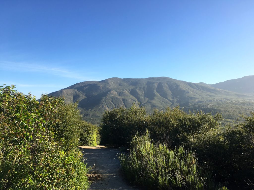
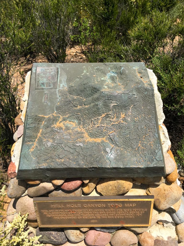
Decided to knock out another of the Six-Pack of Peaks, this time El Cajon Mountain. Since it is starting to get hot and this is probably the hardest of the San Diego peaks, I thought why not try to hit the summit at sunrise? I have done this peak before—it was my final peak of the 100 Peak Challenge. I looked up the time of sunrise.

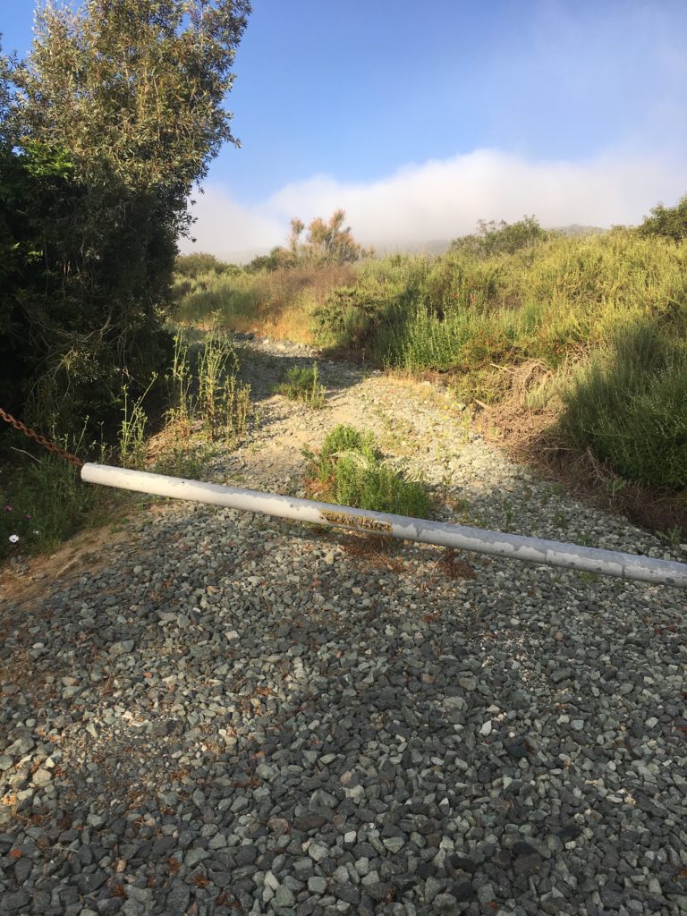
The car’s clock read 3:00 when I arrived at the trailhead. The parking lot was closed, so I parked on the street. I slipped on my headlamp and gathered the rest of my gear and set off.

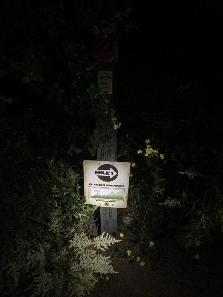
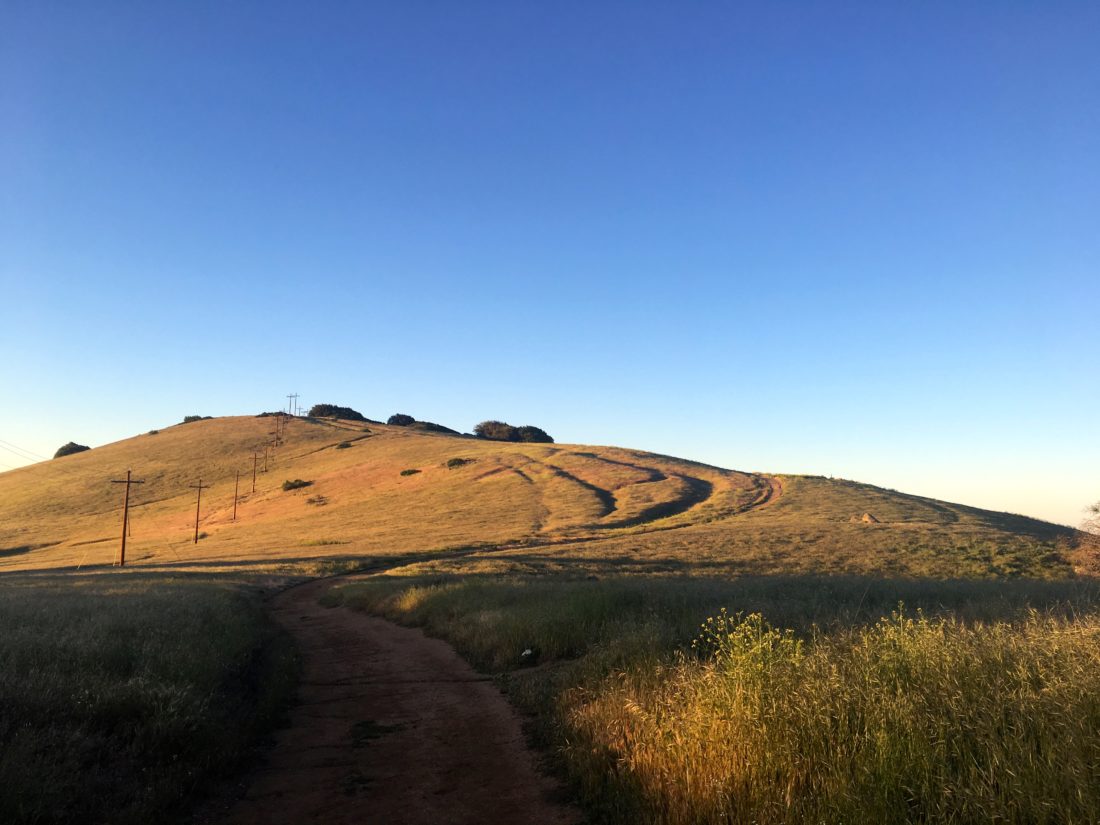
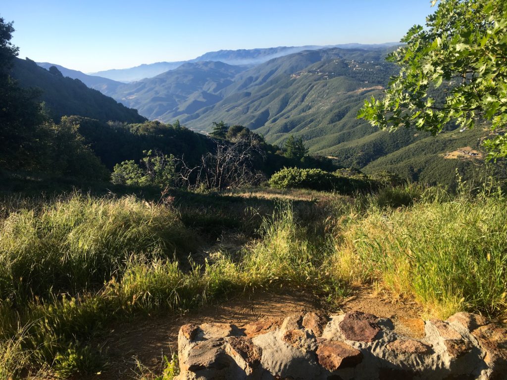
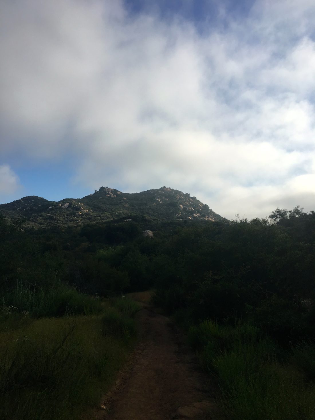
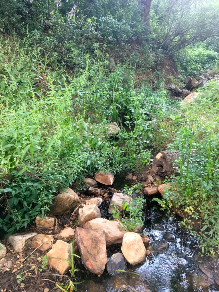
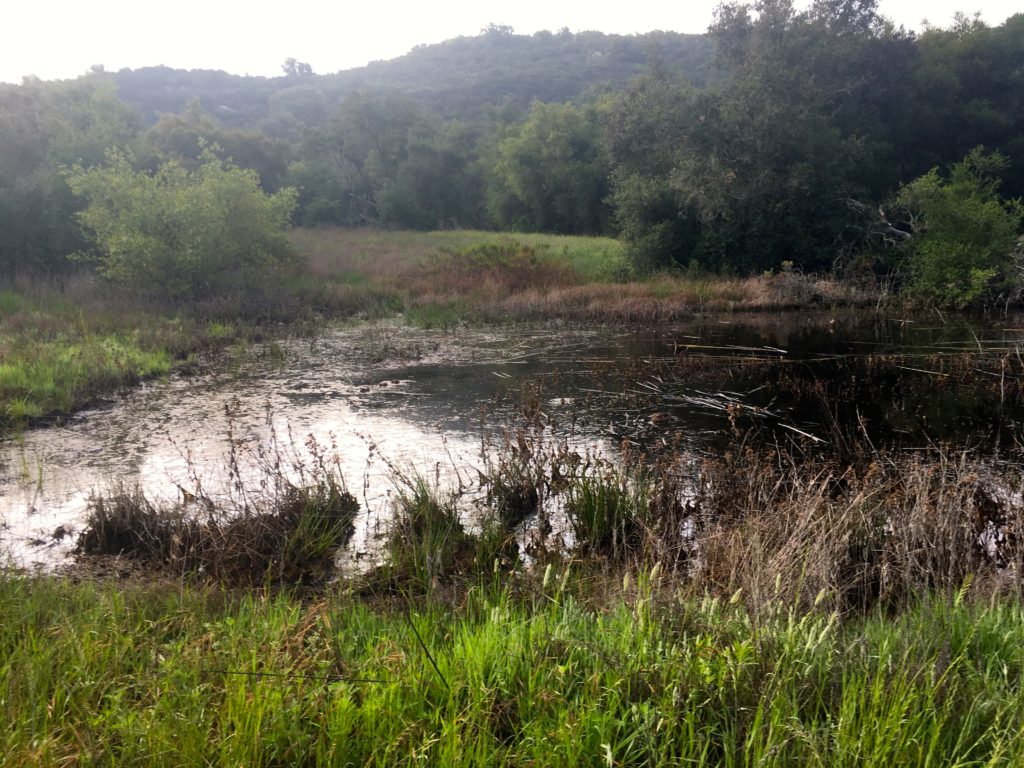
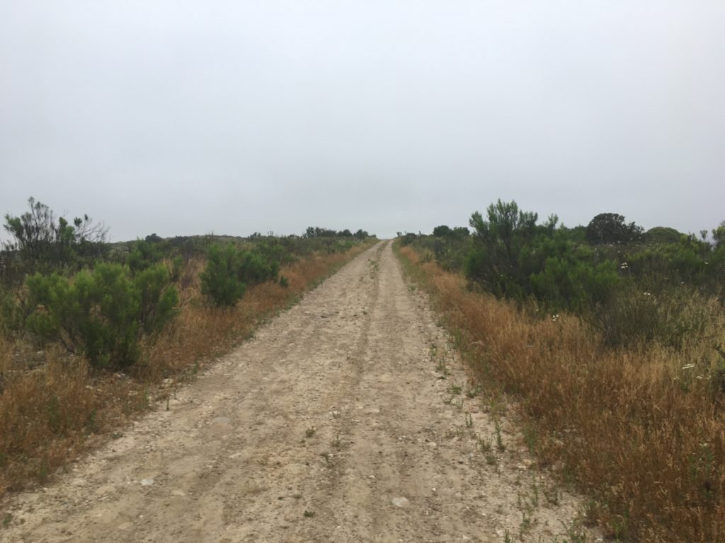
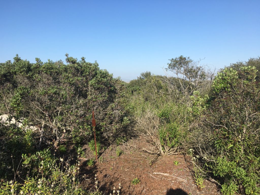
I plodded along the misty dark trail, mostly up, but one of the joys of El Cajon is you get to go down sometimes as well. I kept a good pace, but night hiking is a bit slower, so I had a feeling I was going not make the summit before sunrise.

Just after the 4.5-mile mark, I was passed by a hiker, and soon after that his two buddies. The trail was nice and wide, so socially distancing was not an issue.

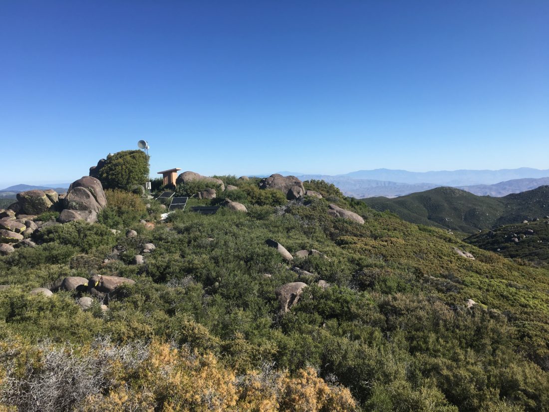
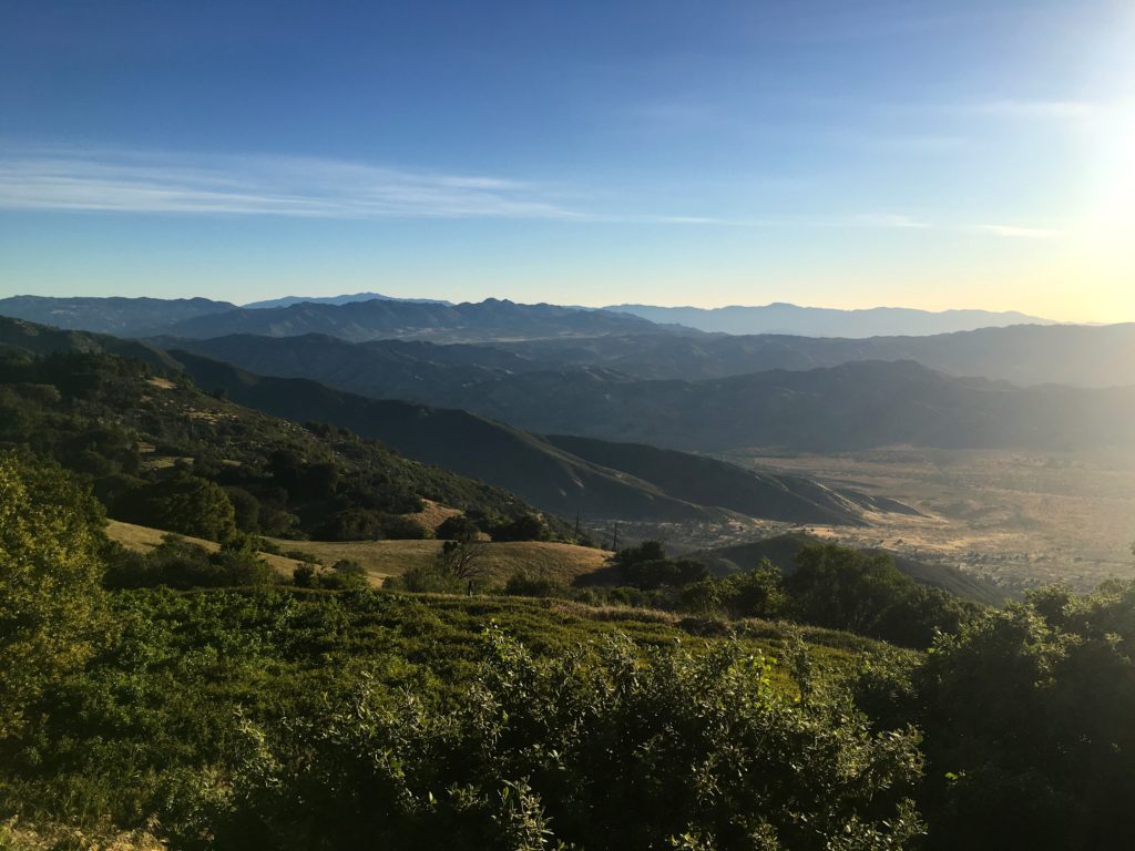
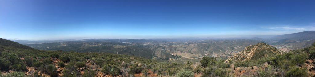
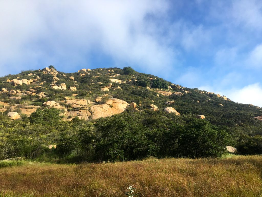
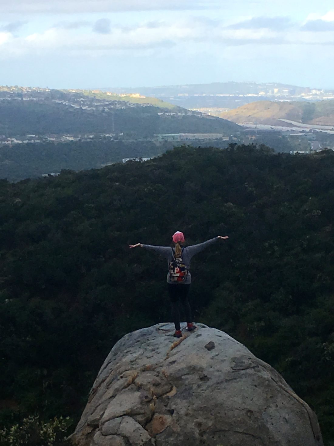
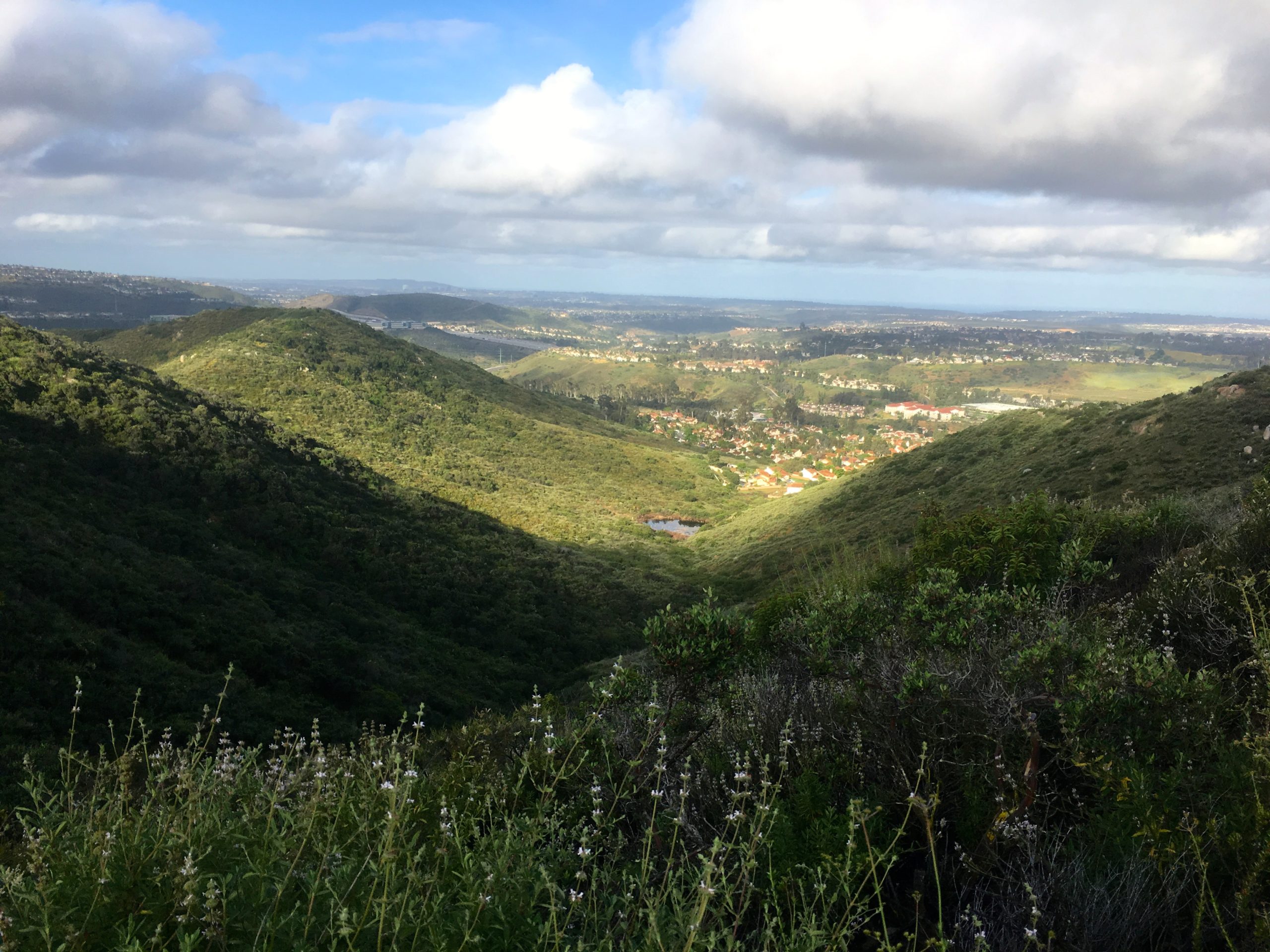
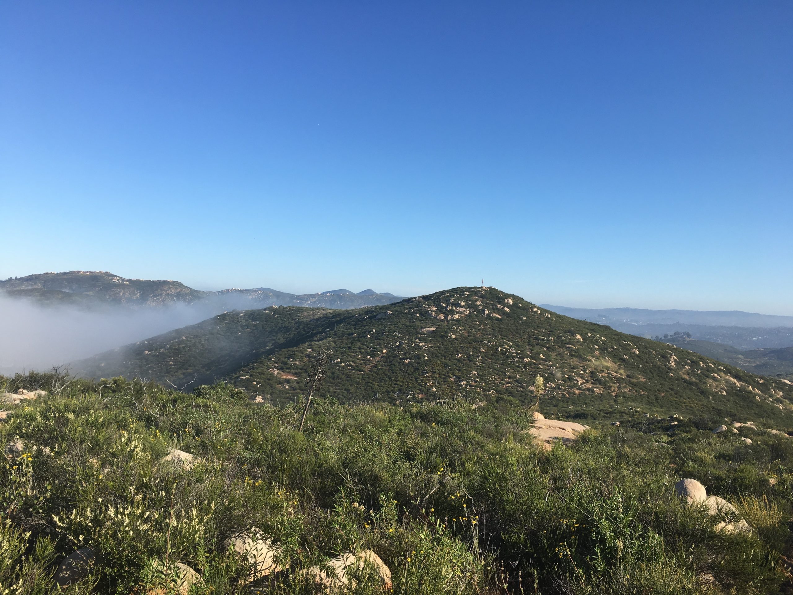
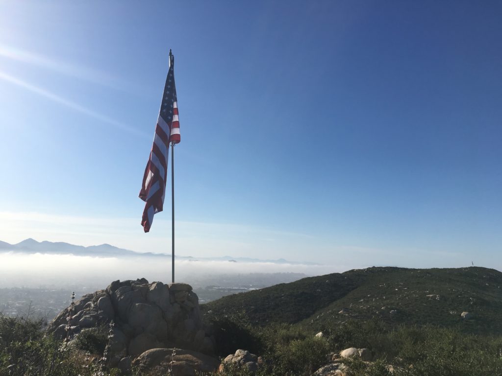
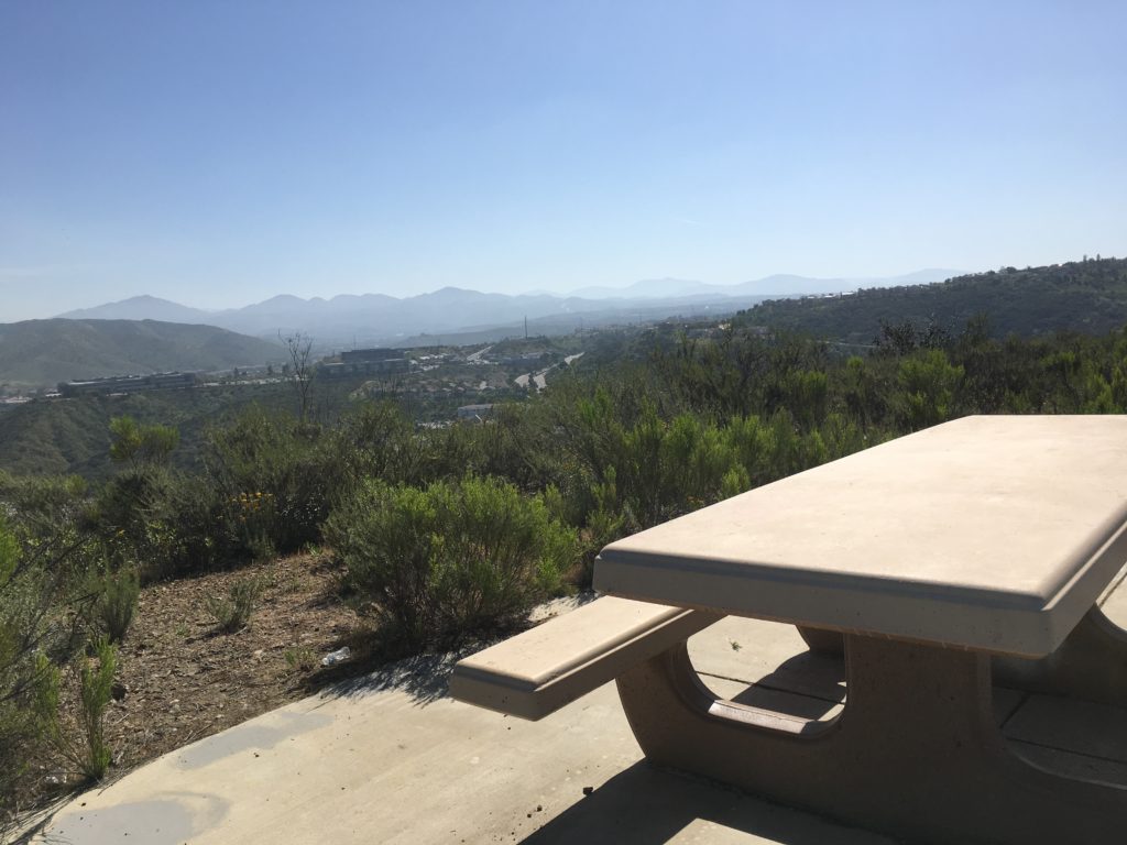
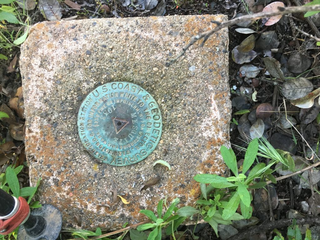
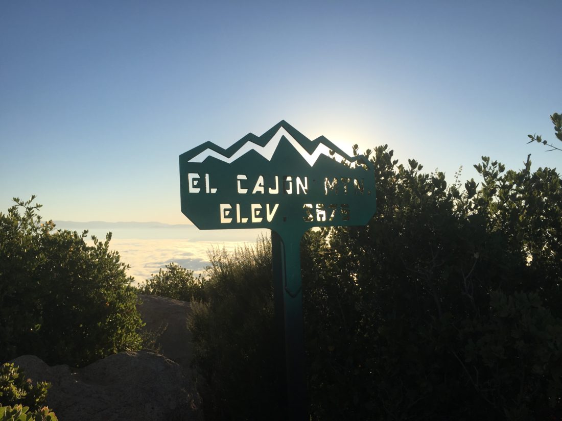
Soon after, I caught the sun rising over the Cuyamacas. I snapped a few photos and kept on climbing. As I approached the summit, the three of them were hanging out on the main summit block, so I plopped down near one of the reference marks.

After a snack, some Gatorade, and a few photos, it was time to head back down. Since time wasn’t a factor, I decided not to push it.

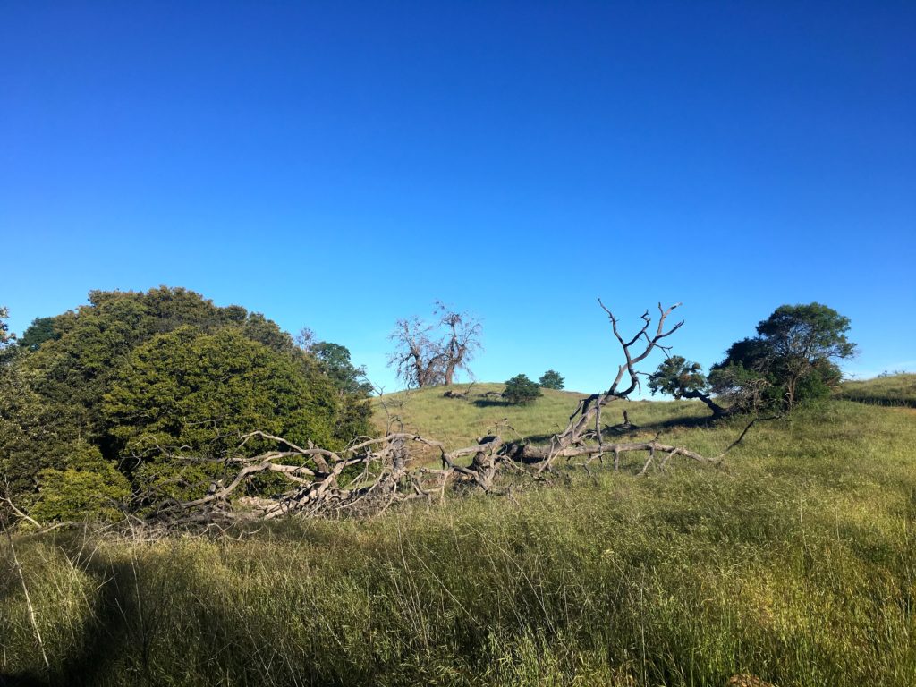
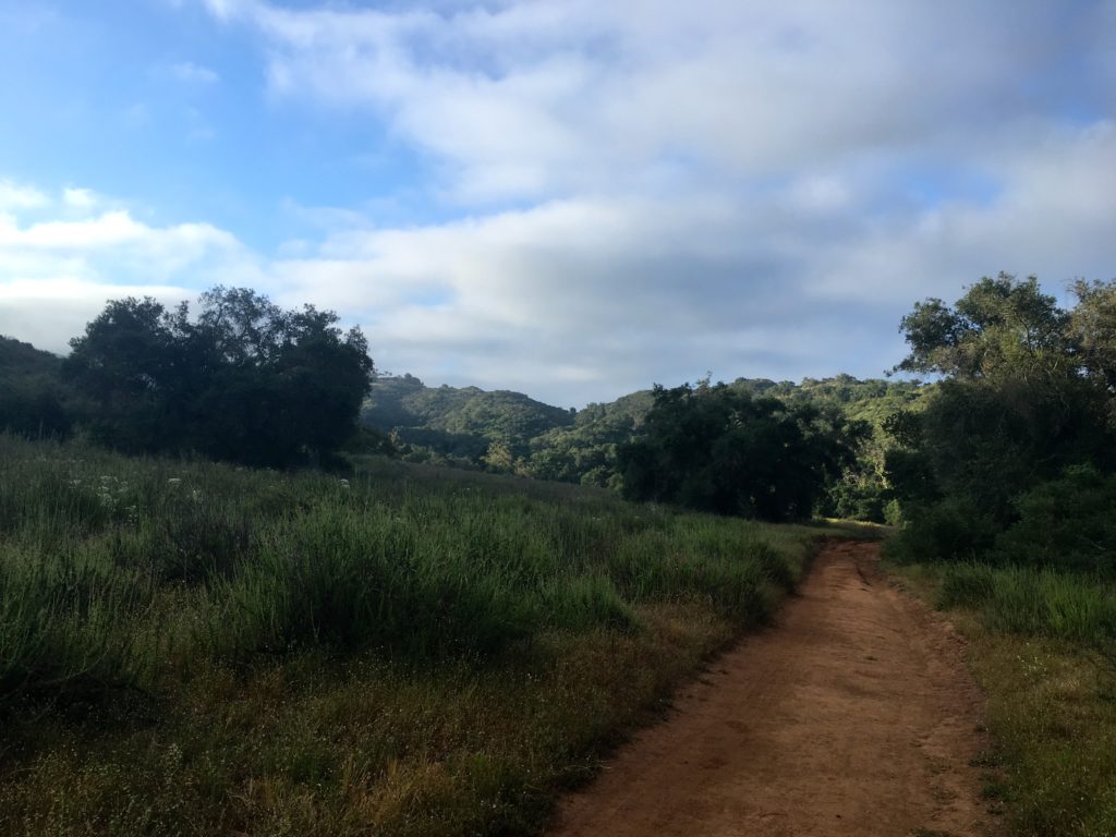
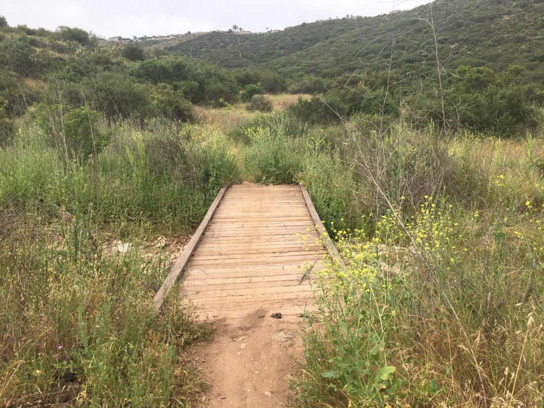
Making my way down, I could now see all the wildflowers that lined the side of the trails. As I made my way down, I started encountering hikers going up. All told, I think I passed about 15 people. The trail was nice and wide, so no issues. I usually told them the hiker count ahead of them. 

Got have a picture of the abandoned car!

The sun was starting to warm things up, so I was glad to have started when I did. I was feeling those uphills on the way back but kept plodding along. Soon, the trailhead came into view and another successful summit was in the books. All told it was 11.1 miles in 6:53 hours with over 3,591 feet of elevation gain. Not too bad…


Buy Me a Coffee at ko-fi.com

I am an avid peak bagger, sometimes backpacker, and former sea kayaker living in San Diego. I am the co-author of Urban Trails:San Diego, coming in Spring 2026!

In 2019, I became the third person to complete the San Diego 100 Peak Challenge. Not stopping with that accomplishment, I set my sights on the harder San Diego Sierra Club 100 Peak list, which I completed in 2021. In addition, I have conquered several Six-Pack of Peaks challenges (SoCal, San Diego, Central Coast, and both the Arizona-Winter and Arizona-Summer). I am looking forward to exploring new summits and new adventures across the southwest. 

Cuyapipe Peak

Today’s adventure was to an obscure peak, Cuyapipe, deep in the Laguna Mountains. Finding places to safely and comfortably hike to is tough. We are definitely seeing more people out exploring some of the backcountry of San Diego. Since most of my remaining peaks for the San Diego Sierra Club list aren’t doable at the present time, I have been looking at other lists that are cataloged on Peakbagger. One of these is the San Diego Peak Club list. This list is actually the foundation for the Sierra Club list. There are some peaks listed here that definitely fit the obscure and rarely visited. 

So, I headed up to the Lagunas to summit this one. I drove down Thing Valley Rd. to a nice turnout. I was shocked to see three different camps set up along the way. I am fairly certain dispersed camping is not allowed.

I grabbed my gear and set off down the road. Being under the trees and having cool air was certainly welcomed for my mental health. After a short bit, I reached the turn-off. From here, the old road became faint as it crossed the meadow. I knew to expect this from the few trip reports on this peak.

Soon, the old road revealed itself again, as it made a horseshoe toward the peak. Various wildflowers still dotted the landscape. The route began its climb toward the summit. The road was in poor shape, and given the steepness, I would need to take care coming back down.

The summit is split into two parts. On the northern point is a communications tower, some solar panels, and a shed. I scrambled to the top of the rock and surveyed the incredible view. 

I knew the Benchmark and the register marks were located on the southern peak, so I followed the trail over to it. Once atop its rocky summit, I found the main Benchmark and the two reference marks. A register was also located. It was not in the best shape. I might just return to fix that problem.

From this summit, I was rewarded with some fabulous views. After snapping some photos, I headed back down. Sure enough, I almost did slip on that one steep section but managed not to land on my rear.

Soon, I was back at the car having completed  3.5 miles in 2:06. For a change, I did not turn my tracking off, so that time includes all the exploration on the summits, so the moving time is probably about 15 minutes less. The biggest surprise was all the traffic I encountered driving back out. A total of four cars passed us driving down the road. Thankfully, I can a spot to pull over each time. 


Buy Me a Coffee at ko-fi.com

I am an avid peak bagger, sometimes backpacker, and former sea kayaker living in San Diego. I am the co-author of Urban Trails:San Diego, coming in Spring 2026!

In 2019, I became the third person to complete the San Diego 100 Peak Challenge. Not stopping with that accomplishment, I set my sights on the harder San Diego Sierra Club 100 Peak list, which I completed in 2021. In addition, I have conquered several Six-Pack of Peaks challenges (SoCal, San Diego, Central Coast, and both the Arizona-Winter and Arizona-Summer). I am looking forward to exploring new summits and new adventures across the southwest. 

Volcan Mountain

I decided to go hike up Volcan Benchmark again now that some of the restrictions have eased. Figured an early morning hike would also reduce the number of people I might encounter on the hike. I pulled off the road next to the trailhead to the Volcan Wilderness Preserve. It was a bit brisk, so I had my warmer gear with me as I set off. Making my way up the familiar trail, my knee was feeling just a bit off. I have been having issues with it for a while. While I had hoped to be at or near the summit for sunrise, my pace wasn’t going to allow that.

As I climbed up the trail, the sound of birds chirping filled the air. Reaching the last section along the ridge, a pair of coyotes bounded ahead of me. Shortly thereafter, they began howling. I tried to record it but they stopped before I could capture it.

Once I reached the summit, I set out to find all three marks. I knew two were under the trees next to the Air Beacon. But where was the main one? The directions on the reference marks proved unhelpful. Peakbagger ‘s map did not seem to offer any more help. 

I headed back onto the trail and decided to make the full loop. It was then I spotted the cement post. From an earlier photo I had seen, I knew there was a mark inside! 

It certainly is not aligned with the two reference marks, but I will take it. I needed to be back in San Diego so my wife could use the car, so I began heading back down. Thankfully, the knee stayed about the same. Usually descents made it hurt more. As I came to the junction with the Five Oaks Trail, I decided to take it. I have never done it before. The first time I hiked Volcan, it was closed due to bees. The second time, I was more interested in comparing time with the first summit.

This trail is a single track that leads you through some beautiful scenery. It was here I encountered my first set of hikers. I stood off to the side with my buff raised, as they passed quickly. It was nice to see them don their masks. A bit later, I encountered my second group, three women, and their dogs. They stopped and I quickly passed by. Again, all three were wearing masks. The Five Oaks Trail reconnects about 3/4 of a mile from the trailhead. Here I had my third encounter, this time with a family of four making their way up. Again, all had masks. I gave them a heads up on the traffic I had seen.

As I was making my way down the last grade, three older hikers were just starting their hike. Sadly, the mask streak was broken. Two were walking across from one another, and as I stood off to the side, I began to wonder if the one nearer to me would move away. He didn’t. I was disappointed, as they looked like folks who hike regularly. 

Upon reaching the ornate trailhead, a sheriff was beginning to hike up. I said a cheerful hello as I stepped away to allow him to pass. 

Back at the car, I tossed my gear in, noting the request to park an extra distance away from each car was ignored. But, with that, my second peak of this year’s Six-Pack of Peaks was completed.


Buy Me a Coffee at ko-fi.com

I am an avid peak bagger, sometimes backpacker, and former sea kayaker living in San Diego. I am the co-author of Urban Trails:San Diego, coming in Spring 2026!

In 2019, I became the third person to complete the San Diego 100 Peak Challenge. Not stopping with that accomplishment, I set my sights on the harder San Diego Sierra Club 100 Peak list, which I completed in 2021. In addition, I have conquered several Six-Pack of Peaks challenges (SoCal, San Diego, Central Coast, and both the Arizona-Winter and Arizona-Summer). I am looking forward to exploring new summits and new adventures across the southwest. 

Paradise Mountain

I decided to venture out and tackle Paradise Mountain in the Hellhole Canyon Preserve. This is one of the replacement peaks for the 100 Peak Challenge and thought I should do it for completeness. The day’s route was to be a lollipop, first dropping down and then crossing Hell Creek before beginning the ascent towards Paradise Mountain. I opted to do the loop counter-clockwise. Upon reflection, I would recommend doing it the other way.

Once past the creek, the climb would begin in earnest. Some wildflowers dotted the side of the trail as the trail continued gaining elevation. A little breeze helped, as there was almost no shade. I can see why they close it during August.

Soon the summit came fully into view. I took a break once I reached it, soaking in the views. Palomar stood clearly to the east, Harrah’s Casino to the north and Valley View Casino to the west.

I grabbed my gear and headed off to Ditch Benchmark, which was just to the west. I looked to see if there was a benchmark here, but did not find it. I tapped the summit cairn with my poles and motored on. I later learned there was one, oh well.

The final goal of the day was Viewpoint 1. This was just a bit off the main loop, but it did provide a lovely view of the area and is listed on Peakbagger.

Now to start the descent. The day was certainly warming up, and I was glad for the early start. Finally encountered my first set of hikers. They told me they did encounter a rattlesnake a bit down the trail. I had been keeping my eyes and ears open throughout the hike, and now I would add a little more caution to my steps.

As I continued to make my way down, I would encounter about 6 more groups. Some families, some getting in a trail run. I was able to pass them with no issues, however, only one person had a mask. For me, I just had to pull up my buff as I passed.

Crossing back over the creek, a family was enjoying the cool water. Now the climb back to the car. I was feeling the heat some as I worked my way up. As I reached the parking lot, it was now full and two horse trailers were there. Tossed my gear in the car and headed back home.


Buy Me a Coffee at ko-fi.com

I am an avid peak bagger, sometimes backpacker, and former sea kayaker living in San Diego. I am the co-author of Urban Trails:San Diego, coming in Spring 2026!

In 2019, I became the third person to complete the San Diego 100 Peak Challenge. Not stopping with that accomplishment, I set my sights on the harder San Diego Sierra Club 100 Peak list, which I completed in 2021. In addition, I have conquered several Six-Pack of Peaks challenges (SoCal, San Diego, Central Coast, and both the Arizona-Winter and Arizona-Summer). I am looking forward to exploring new summits and new adventures across the southwest. 

Daley Ranch & Burnt Mountain

Today I decided to go out to Daley Ranch and summit Burnt Mountain. Daley Ranch has been closed for some time due to Covid-19, so I was glad to take advantage of its open status. This area has always been a popular spot for hikers and mountain bikers, so doing this hike on a weekday seemed like a good idea. I pulled into the Cougar Pass Trailhead’s parking lot just after 7. There were already 5 cars parked. I grabbed my gear and headed down the trail. I had hiked most of the route I was planning to take back in 2016. I found my route in Runkeeper, but not a single photo. I guess I will have to make up for that oversight.

The first part of the hike would be along the Cougar Ridge Trail. It would work its way upward, crossing two flowing streams along the way. Oaks provided shade in spots. The wide trail appears to be recently graded. After a bit, the Engelmann trail connected from the east, but I wanted to take it from the other junction, so onward I hiked.

The next trail I encountered was the Bobcat Trail. This single track bisects the Engelmann Loop. I might take it upon my return.

Finally, I reached the other junction for the Engelmann Loop. I could see Burnt Mountain before me, and where my route probably was. Flowing water worked its way down the middle of the trail, but there was enough space on either side to keep from having issues. I soon came to a small pond. I spied a mother duck and her ducklings having breakfast on the water.

From my research, I knew I had to cross a small meadow to the base of the mountain, & from there a use trail should take me to the summit. Just past the pond, I saw the meadow and a faint path through it.

Once on the other side, I picked up the trail. It was a little overgrown, but manageable. It worked it way up the steep slope, with an occasional cairn to help guide the way. 

With the summit in view, some lovely wildflowers blocked my path. Rather than disturb them, I was able to move around them. Once on the summit, I found the benchmark and the two reference marks. The summit had three rather large cairns that I opted to leave alone. After a short rest, I headed back down.

Back on the Engelmann Loop Trail, I continued taking it counter-clockwise. I still had yet to encounter another person on the trail. 

The trail’s beauty continued to impress me. I could see why Scott Turner, author of Afoot and Afield in San Diego, loves the trail. As I came up to the junction with the Bobcat Trail, I had a decision to make—take it or stay on the Engelmann Loop. I opted to stay on the loop.

Soon, I passed my first pair of hikers. Thankfully the trail was wide as they did not have masks. By the time I finally reached my car I passed 5 other hikers and two mountain bikers, all without masks. Just glad the trail was wide. All told I covered 4.94 miles in 2:35, with over 1,033 feet of elevation gain.


Buy Me a Coffee at ko-fi.com

I am an avid peak bagger, sometimes backpacker, and former sea kayaker living in San Diego. I am the co-author of Urban Trails:San Diego, coming in Spring 2026!

In 2019, I became the third person to complete the San Diego 100 Peak Challenge. Not stopping with that accomplishment, I set my sights on the harder San Diego Sierra Club 100 Peak list, which I completed in 2021. In addition, I have conquered several Six-Pack of Peaks challenges (SoCal, San Diego, Central Coast, and both the Arizona-Winter and Arizona-Summer). I am looking forward to exploring new summits and new adventures across the southwest. 

Van Dam Peak

I decided to get some early morning hiking in before sitting through a morning of online meetings. Figured I should finally summit the other two peaks around Van Dam. I decided to start up from the Savannah trailhead. Susie Kara joined me in a socially distant manner. That is, as always I was behind her as she led the way 😉

The start of the trail took us steeply up to the main ridge. A bit overgrown, and the wet plants soon made my pants wet as well. Once on the ridge, we made our way to Van Dam peak. Typically, when hikers refer to Van Dam, they are actually referring to North Van Dam (where the graffitied concrete slab is). We turned south on the Iola trail for a bit, before picking up a faint use trail that took us to the summit. There is no benchmark or even a register. A large rock was just to the west of the summit, and Susie scrambled up for her photo.

Once back on the Iola trail, we cruised to North Van Dam. Surveyed the graffiti for a bit, then continued on to the north. At the junction, we veered to the left toward our third peak of the day, Peak 1080.

We finally encountered someone on the trail at this point and passed without issue. We missed the use trail to the summit and continued along the side trail. Checking the map, we realized our error and backtracked slightly. The use trail was actually right where we encountered the other hiker.

We quickly followed it up to the top. Like the others, no marks or registers. A nice view of Black Mountain was the best it could offer. The trail continued down the west side of the peak and back onto the main trail. We followed it until it ended at Sabre Springs Parkway, then we just road hiked back to our cars. Another two peaks crossed off the ‘Near-By” list.” 


Buy Me a Coffee at ko-fi.com

I am an avid peak bagger, sometimes backpacker, and former sea kayaker living in San Diego. I am the co-author of Urban Trails:San Diego, coming in Spring 2026!

In 2019, I became the third person to complete the San Diego 100 Peak Challenge. Not stopping with that accomplishment, I set my sights on the harder San Diego Sierra Club 100 Peak list, which I completed in 2021. In addition, I have conquered several Six-Pack of Peaks challenges (SoCal, San Diego, Central Coast, and both the Arizona-Winter and Arizona-Summer). I am looking forward to exploring new summits and new adventures across the southwest. 

West Sycamore

Continuing my local peaks adventure, I headed out to summit Stonebridge Hill and Sycamore Ridge. Both these bump-lets are located in the West Sycamore section of Mission Trails. 

I parked next to the closed parking lot. There were about 8 cars already there at 7:30, but it was a Saturday. I grabbed my gear, and slipped my buff on, then hit the trail.

The empty trail was nice and wide, and I soon came to Stonebridge Hill. A quick jaunt through the low brush to the high point, which was marked by a small cairn.

Back in the main trail, the Sycamore Ridge was just a few minutes away. With no visible high point, I counted it as ‘summited’. Rather than simply turning back, I opted to make this a loop. At this point the trail splits, one route continues toward Goodwin Ranch, while the other follows the ridge northwestward. I picked the latter for today’s adventure.

The trail now turned to singletrack, so I would need to keep my ears open for others. I knew from the cars at the trailhead that mountain bikers were probably out enjoying the trails as well. About 5 minutes later I spotted my first one. I stepped aside and let him pass. 

I continued to work my way down the ridge, I would encounter about 10 more riders throughout the hike. I had no trouble hearing them coming and they were quickly past me.

Once at the bottom of the ridge, I continued west, the sides of the trail were dotted with flowers. Passing a grove of eucalyptus, the trail curves around a nice house tucked away. Crossing a dry stream, the trail made its way west. In the distance, I could see a group of people flying radio-controlled airplanes. I turned on to the cement road and climbed up the hill to the houses near the start of this hike. Once back up on the ridge, I walked along the street back to my car.

All told 4.7 miles with about 536 feet of elevation gain. On the way home, I stopped at O’Brien’s bakery to pick up our bread order. A nice brioche loaf for French Toast for Mother’s Day!


Buy Me a Coffee at ko-fi.com

I am an avid peak bagger, sometimes backpacker, and former sea kayaker living in San Diego. I am the co-author of Urban Trails:San Diego, coming in Spring 2026!

In 2019, I became the third person to complete the San Diego 100 Peak Challenge. Not stopping with that accomplishment, I set my sights on the harder San Diego Sierra Club 100 Peak list, which I completed in 2021. In addition, I have conquered several Six-Pack of Peaks challenges (SoCal, San Diego, Central Coast, and both the Arizona-Winter and Arizona-Summer). I am looking forward to exploring new summits and new adventures across the southwest. 

Flags of Rancho Bernardo

For of us who spend way tooooo much time on Peakbagger.com, one of the tabs on the mobile app is Nearby Peaks. During this period of staying local, I have been browsing this list for peaks that I have not yet summited. Today’s adventure would take me to “The Flags of RB”. You have probably seen these three flags on the peaks to the west of the 15 near Rancho Bernardo road.

I headed out along the service road for the power lines, which would connect me with the trail to the summits. The early morning fog had burned off here, but could still be seen around me. As I made my way up the trail, the occasional sound of a dove cooing could be heard. 

I reached the first flag atop Peak 1190. This flag was securely mounted its pole. Snapping a few pictures I headed off, as I knew we had another warm day ahead of us.

Peak 1163 from Peak 1190

Down the trail and across the saddle I went. The trail is well defined, so no issues with that. The next flag is atop Peak 1163.

Grabbing a few photos, I was off to Peak 1001 and the final flag. This one had a surprise, an empty wine bottle. I left it.

Retracing my route, I soon found myself back at the car, having done 3.15 miles. A nice way to start the day and cross off three more of those ‘near-bys’.


Buy Me a Coffee at ko-fi.com

I am an avid peak bagger, sometimes backpacker, and former sea kayaker living in San Diego. I am the co-author of Urban Trails:San Diego, coming in Spring 2026!

In 2019, I became the third person to complete the San Diego 100 Peak Challenge. Not stopping with that accomplishment, I set my sights on the harder San Diego Sierra Club 100 Peak list, which I completed in 2021. In addition, I have conquered several Six-Pack of Peaks challenges (SoCal, San Diego, Central Coast, and both the Arizona-Winter and Arizona-Summer). I am looking forward to exploring new summits and new adventures across the southwest. 

Peak 590 & Miramar Benchmark

I had a nice walkabout this morning. Decided to keep it local and go visit some of the peaks that show up on Peakbagger’s Near By list. I parked near the Chili’s and headed down Cara Way.

Soon, the Los Peñasquitos Creek Arch Bridge came into view, and then the Cara Knott Crime Victim’s Memorial Oak Garden. I paused to reflect on all the names here before I continued on.

Leaving the road, the route became a single track as it works its way around the pumping station. The path followed Peñasquito creek for a bit before making its way to the top of Peak 590.

I gazed at Van Dam peak and tried to find less-traveled routes to the summits. I decided to make the trip a loop, so I took the east path down the hill. I soon found myself back at Scripps-Poway Parkway. Along the way, I did encounter a few mountain bikers, a couple of runners, and one hiker.

Next on the list was Miramar Benchmark, so I crossed under the 15 and entered Canyon Hills Open Space. I headed up the service road to the summit. It was straightforward forward walk up the wide dirt road. I meet two walkers along the way. As I neared the summit, the first of two picnic benches were found.

At the summit, some Aqueduct elements stood at the summit. I found one mark, but the real marks were not located.

I grabbed a few photos and headed down. All in all, a nice 5 miles.


Buy Me a Coffee at ko-fi.com

I am an avid peak bagger, sometimes backpacker, and former sea kayaker living in San Diego. I am the co-author of Urban Trails:San Diego, coming in Spring 2026!

In 2019, I became the third person to complete the San Diego 100 Peak Challenge. Not stopping with that accomplishment, I set my sights on the harder San Diego Sierra Club 100 Peak list, which I completed in 2021. In addition, I have conquered several Six-Pack of Peaks challenges (SoCal, San Diego, Central Coast, and both the Arizona-Winter and Arizona-Summer). I am looking forward to exploring new summits and new adventures across the southwest. 

Carmel Mountain Preserve

When the city of San Diego reopened some of the parks and open areas, I decided to explore Carmel Mountain Preserve. I had driven past it hundreds of times but never bothered to explore it.

As it turned there are three peaks within its borders; Carmel Mountain, Mesquite Benchmark, and Carmel Arête. My route would be a basic out and back. The entrance I picked as next to Ocean Air Rec Center. From here I climbed the small hill to the main mesa. The trail here was nice and wide, so I would be able to avoid anyone might encounter.

Carmel Mountain ‘High Point’

According to the topo map, the high point for Carmel Mountain was west of the trail. I hopped off the trail poking my way around the brush. Since this is a mesa, there really isn’t much of a view.

Vernal Pool

Next on the list was Mesquite Benchmark. Hoping I would be able to locate it, I passed by one of the vernal pools. Sadly, not many are left in the county. As I neared the location of the mark, I kept my eyes peeled.

There, just to the side of the trail partially under some brush was the benchmark! After not hiking over a month, it felt good to find one again.

My third target was Carmel Arête. The trail now became a single track, but since I had yet to encounter anyone, I was not worried. The trail dips down some before working its way across a narrow saddle. I stood atop it and snapped a few photos. I retraced my route, it was lovely to be back out on a trail.


Buy Me a Coffee at ko-fi.com

I am an avid peak bagger, sometimes backpacker, and former sea kayaker living in San Diego. I am the co-author of Urban Trails:San Diego, coming in Spring 2026!

In 2019, I became the third person to complete the San Diego 100 Peak Challenge. Not stopping with that accomplishment, I set my sights on the harder San Diego Sierra Club 100 Peak list, which I completed in 2021. In addition, I have conquered several Six-Pack of Peaks challenges (SoCal, San Diego, Central Coast, and both the Arizona-Winter and Arizona-Summer). I am looking forward to exploring new summits and new adventures across the southwest.