After my successful failure of Half Dome, my foot’s plantar fasciitis reared up again. Something about favoring one foot over the other while hiking Half Dome 😉 I took a more aggressive approach and strapped on a walking boot for several weeks to let it heal. After some PT, it was finally time to test my foot out. Of my remaining peaks, Morena Butte seemed to fit the bill. I drove out to Lake Morena County Park, I opted to pay the 10 and park closer to the trailhead near the low-water launch site. You can park just outside the park for a longer hike.
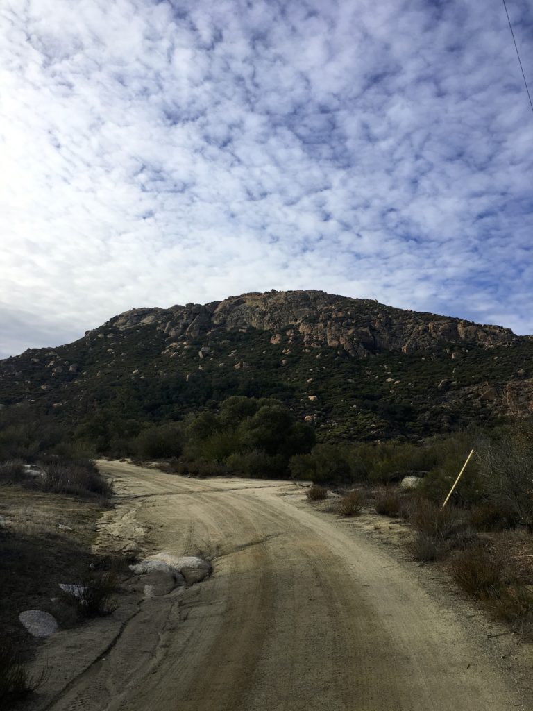
High above the lake looms Morena Butte, a three-peaked mountain topped with huge expanses of gorgeous granite slabs. The day was perfect, as first followed Ward’s Flat Trail. This a closed dirt service road that heads toward the south side of the dam. After about 1.5 miles, a nice rock arrow points the way on to the Hauser Overlook Trail.
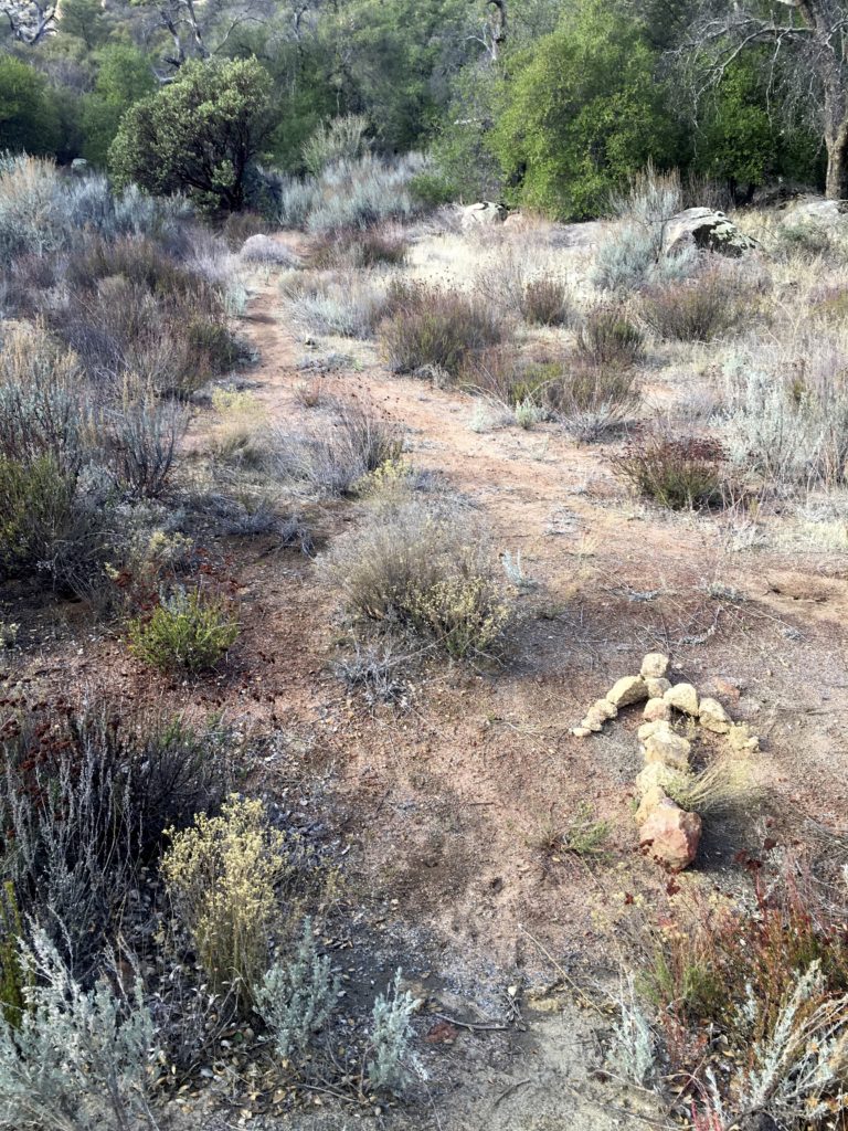
Here is route becomes more trail-like as you being to climb through the chaparral. Once you reach the end of the trail, you will hopefully see the start of almost a goat-trail up the steep side of the mountain.
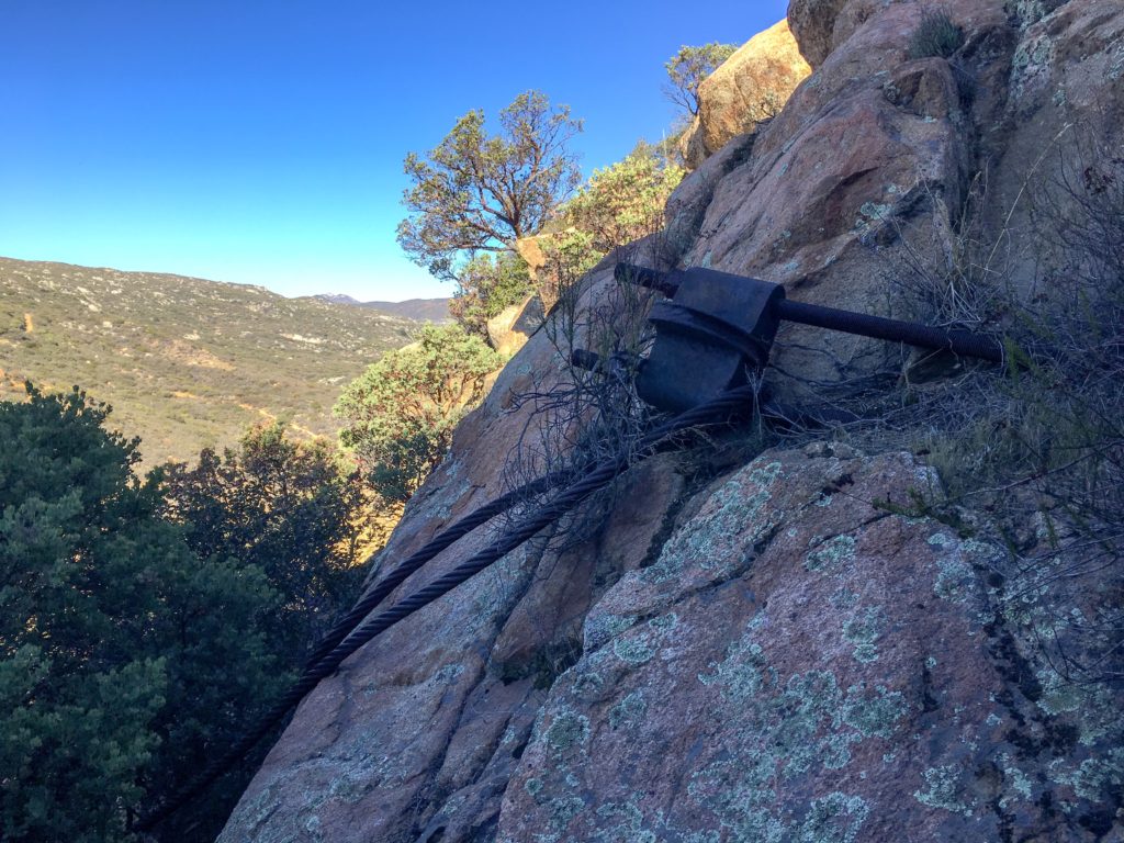
I carefully worked my way up, scampering up the rocks until the trail began to reform. According to my GPS, I gained almost 600 feet of elevation in just over .5 mile. Looking back I was rewarded with some nice views of the dam and the lake. After cresting a small summit, the triple peaks of Morena Butte came into clearing into view. The highest of the three is the southern one, so I made my way toward it.
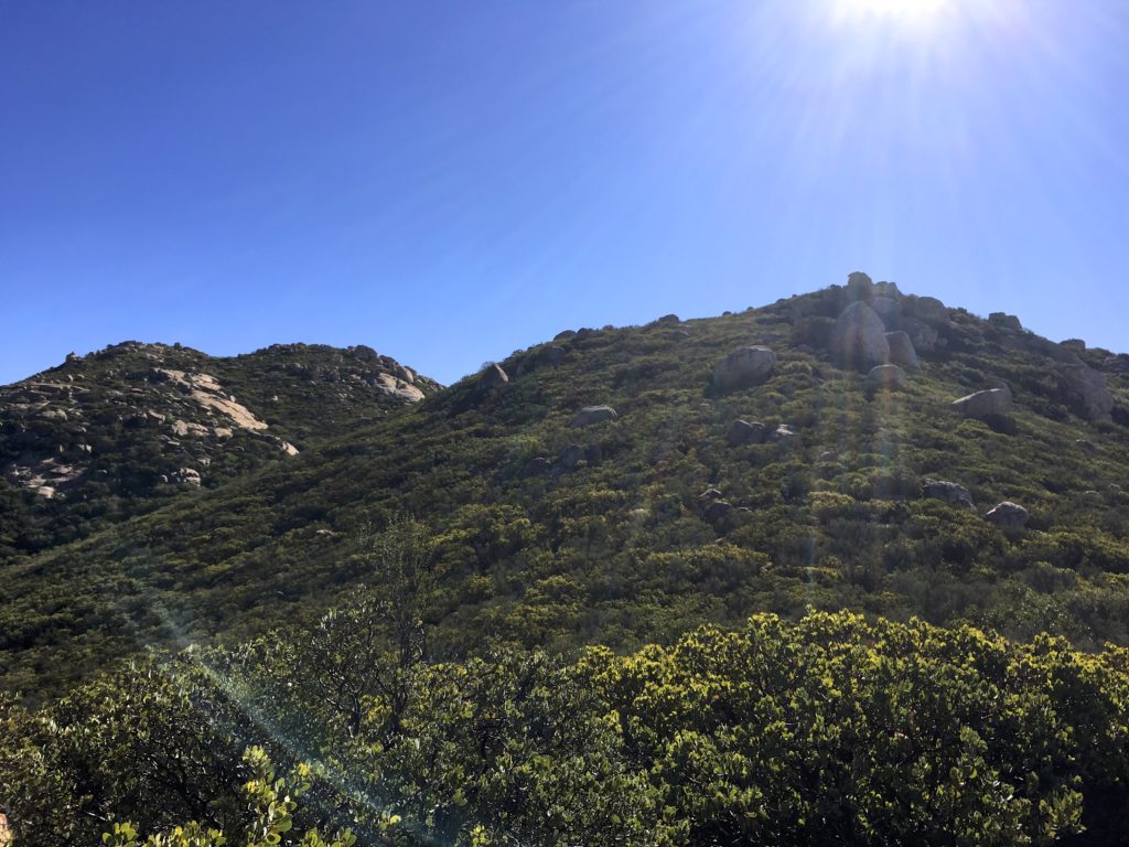
Once on the top, the butte is a massive granite slab littered with pink boulders. A few puddles were scattered about from some recent rains. I found the register tuck away near the top of the south summit. While resting and enjoying the view, another hiker came along. We chatted a bit, she mentioned she was also chasing the 100 Peak Challenge. We had a pleasant chat before I headed off.


I first wandered over the eastern side of the butte to get a full view of the valley and the lake. Forgetting to turn my tracking on, I then made my way to the western edge. Towards the top of the peak if you go towards the left you will get a great big flat rock that has an awesome view of the valley below, and the base of the rock is a plaque that was put there a few years ago.
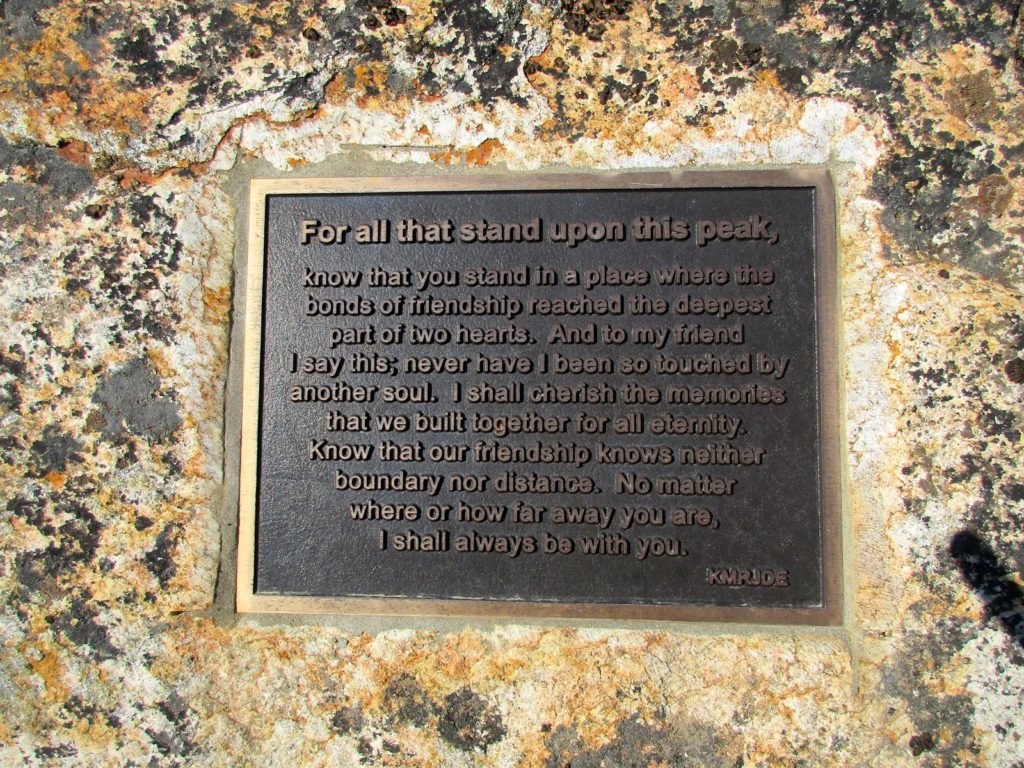
Having done enough exploring for one day, I started to retrace my route, although I must confess I did consider taking the longer route that connects with the Pacific Crest Trail instead of returning down that steep slope. In the end, I figured the devil you know versus the devil you don’t.
The return to the car was uneventful. My foot was feeling mostly ok, which was a good sign. I passed by an old foundation with a chimney that is still standing and makes you wonder what was originally there. Back at the car, I realized I forgot my cooler on the kitchen counter, but no worries as there is a country store just outside the park, so I stopped in and grabbed some cool drinks :).
I am an avid peak bagger, sometimes backpacker, and former sea kayaker living in San Diego. In 2019, I became the third person to complete the San Diego 100 Peak Challenge. Not stopping with that accomplishment, I set my sights on the harder San Diego Sierra Club 100 Peak list, which I completed in 2021. In addition, I have conquered several Six-Pack of Peaks challenges (SoCal, San Diego, Central Coast, and Arizona-Winter). Beyond attempting the San Diego Sierra Club 100 Peak list a second time, I am looking forward to exploring new summits and new adventures across the southwest.

