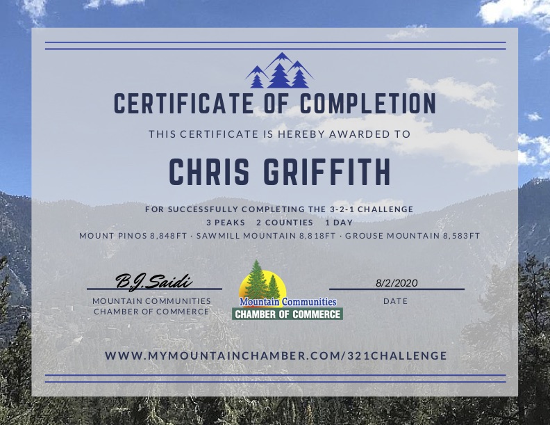
A large golden moon hung low before me, setting slowly in the predawn. Ted loaded his gear in the rear and settled into the back seat, With our masks in place, we set off for the day’s adventure, completing the 3-2-1 Mountain Challenge. This hike would take us up to the top of Mt. Pinos, the highest point in Ventura Country, then onto Sawmill Mountain, the highest point in Kern County, and Grouse Mountain since we are already there. The primary peak was to be Sawmill Mountain, as it is on the 6 Pack of Peaks list.
Ted dozed while we passed through Orange then LA County. One advantage of leaving so early was not having to worry about traffic. We pulled off the 5 at Frazier Park and began heading up to the Mt. Pinos Nordic Base. The parking lot was moderately full. I hung my America the Beautiful pass in the window, grabbed our gear, and set off right about 7 am, some 3 hours after leaving San Diego.


For me, this hike was going to be seeing how my knee responded. I recently had gotten a cortisone injection to help with the inflammation and this was my first significant hike. The trail began working its way up from the parking lot along the nice wide dirt service road. The temperature was perfect and we passed under the shade of the pines. We certainly could tell that we were over 8.000 feet as we continued the pleasant climb toward our first summit.


We passed through some wide dry meadows, with a few flowers still remaining. Soon, the radio tower for Mt. Pinos came into view. The peak itself is round and indistinct, and much of the view is dominated by radar antennae. We found the benchmark and a reference mark while surveying the San Joaquin valley in all its hazy glory to the north. This was to be the highest of the three primary peaks of the day at 8,818 feet.


The wide dirt road continued eastward until the Condor Observation Site. Two nice benches afford a lovely spot to sit and gaze south and onto the Sespe Condor Sanctuary.


We now set off on the Vincent Tunamait Trail, named in honor of a Chumash elder statesman, and on to Sawmill Mountain. The single track descends following a series of switchbacks, entering into the Chumash Wilderness. While initially mild, the later portion did become a bit steep. We were not looking forward to the return and the ascending of this section.


After crossing a small saddle, the hike began to climb once again toward the summit of Sawmill Mountain. At about 3.5 miles in, a spur trail headed to the north to the actual summit. About .2 miles later, a massive cairn stood before us.


We paused for a bit under some nearby shade for a bit of food and some electrolytes. My knee was still feeling good, so we continued on toward Grouse Mountain. As we made our way east, we hopped off-trail to summit Sawmill Mountain-West. A much smaller rock cairn marked the peak.
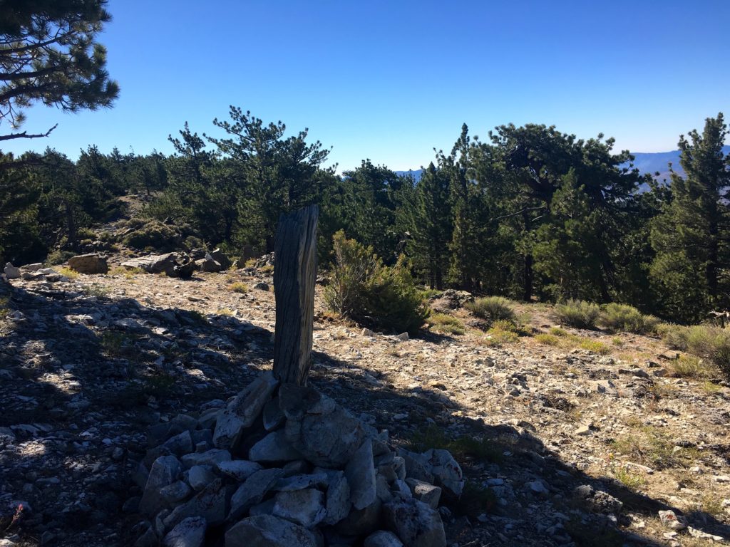
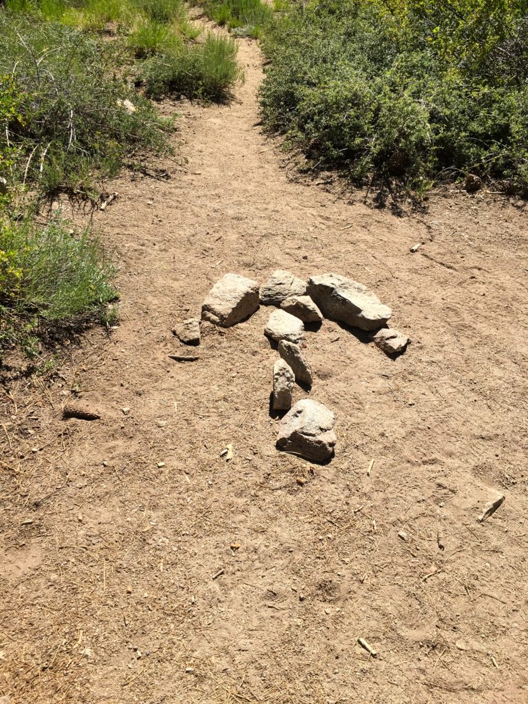
Once back on the trail, we descended down until we intersected with the trail for Sheep Camp. Keeping to the right, we began our third climb of the day. Nothing too hard, just at 8,000+ feet, we can feel it. The trail took us to the false summit of Grouse. In referencing the loaded track and my paper map, we knew the true summit was a couple of hundred yards to the north of us. Our boots crunched under the pine needles. The summit of Grouse is denoted by a large wooden teepee, as well as a nice sign. Unfortunately, the sign maker placed the wrong elevation on it.


Under the shade of the pines, I enjoyed a nice PB&J, some orange slices, and a bit of Gatorade. Now for the return…
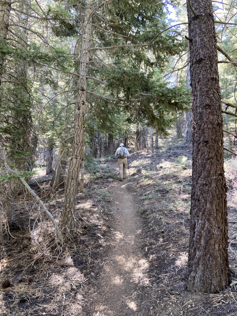
As we started back onto the trail, a young couple was just reaching the area. We chatted for a bit, with proper distancing, and pointed them toward the true summit.
As we retraced our steps, we would encounter more hikers. Either they or us would step off-trail, and masks were in use as we approached. Some backpackers were head down to Sheep Camp, others just out enjoying the area.
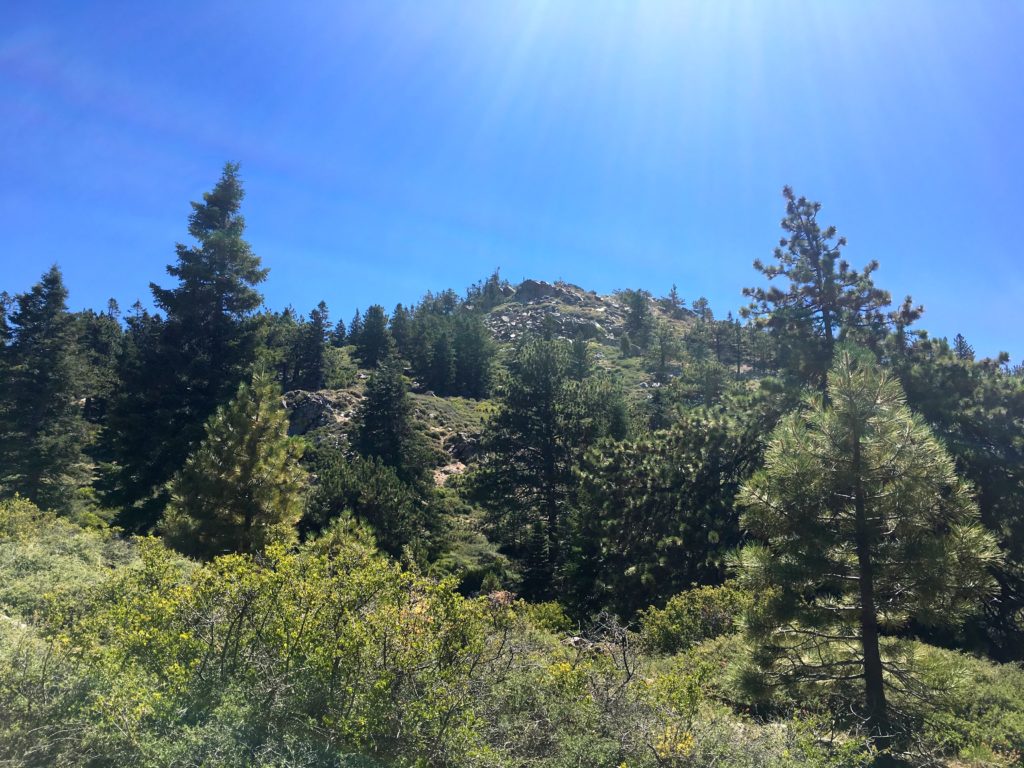
At the base of the switchbacks, I could feel the effects of being off trail for about a month as I made my way up. I stopped a few times for some short breathers, then pushed on. Soon, the Condor Observation Site came into view. I had hoped to sit on those benches for a bit, but some amateur radio enthusiasts were using it for their equipment. Oh well, it was warming up some, and we had a long drive home.

Nearing Mt. Pinos, we started to encounter more and more folks on the trail, so the occasional need for a mask soon became almost permanent. We also started to notice a drop in the usage of masks by other hikers. Thankfully, the trail was wide and we were able to move past them quickly. The day was also warming up, while still nice in the shade, we could feel the heat building whenever we crossed a meadow.


Before we knew it, the parking lot came back into view and our adventure was over. We had completed the 3-2-1 Challenge, and I had completed my 8th peak on the 6 Pack of Peaks Challenge. But, more importantly, the knee felt mostly ok! The hike was 10.4 miles, with 2,037 feet of elevation gain in 4:59 of active hiking time.
I am an avid peak bagger, sometimes backpacker, and former sea kayaker living in San Diego. In 2019, I became the third person to complete the San Diego 100 Peak Challenge. Not stopping with that accomplishment, I set my sights on the harder San Diego Sierra Club 100 Peak list, which I completed in 2021. In addition, I have conquered several Six-Pack of Peaks challenges (SoCal, San Diego, Central Coast, and Arizona-Winter). Beyond attempting the San Diego Sierra Club 100 Peak list a second time, I am looking forward to exploring new summits and new adventures across the southwest.


One thought on “Mt. Pinos, Sawmill & Grouse”