I pulled into the overnight parking lot at the Palm Springs tram station and got myself ready for another overnight on San Jacinto. This was going to be my first overnight and major peak since my foot surgery in April. Having done this trip 15 months earlier, I knew what lay ahead for me. I pulled on my hiking boots, slung my pack onto my back, and headed up to the tram station. I was also trying out my new smaller bear canister (Bear Vault 425) for this trip. It is just the right size for a quick one- or two-day overnight trip. The tram car was only partially full as we made our ascent up from the desert. Once at the station, I walked down the concrete switchbacks and over to the ranger station. I checked in with the ranger and got some last-minute information about being mindful of camping under trees. Tropical Storm Hillary has done some damage to the mountain, and recently a tree limb fell and injured a camper. I certainly was going to be inspecting my possible campsite a bit closer before pitching my tent.
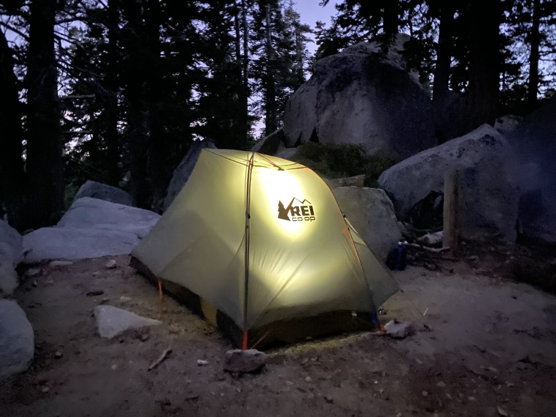
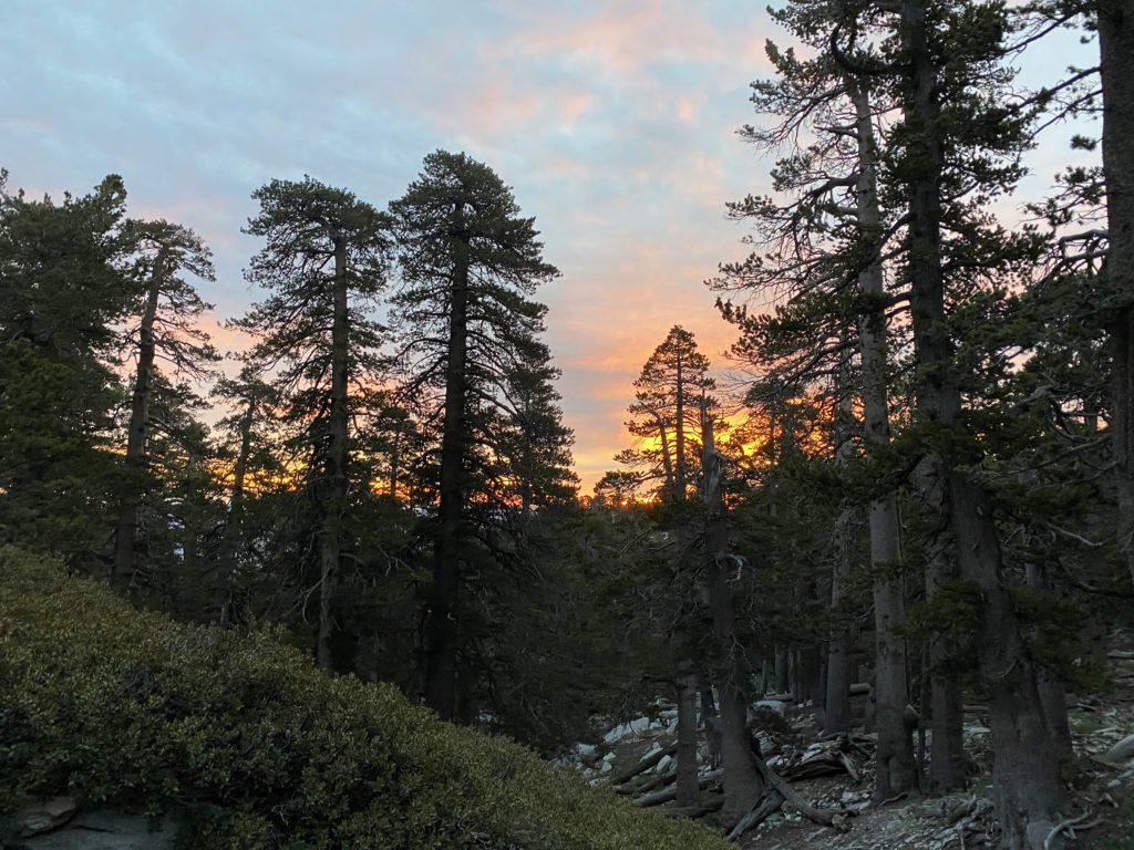
Long Valley Creek was flowing nicely as I made my way up to Round Valley. I passed a few hikers along the way, including one who had attempted Cactus to Clouds (C2C) that day. We chatted about his attempt, and he told me he had some trouble just before the tram station (a section known to be difficult), and once he reached Round Valley, he knew he was done. C2C is one of the hardest hikes in the US, so just doing Cactus to Tram is a major accomplishment. He headed back down the trail and continued upward toward the campground. I decided to stay at the same site I stayed at last time—Buckthorn. The forecast called for some wind, so I was looking for one of the more sheltered sites. I surveyed the various tent spots and opted for a different one from the last time, in part not to be under a tree. I set up my site, grabbed my water bags, and returned to the water spigot at the trail junction. The water was flowing well and I quickly filtered my water needs for tonight and tomorrow. I relaxed for a while and enjoyed my dinner and the beer I hauled up (for 2 miles I’ll carry a can of beer). Soon after the sun dropped behind the mountain, I turned in. The general plan was to be at Wellman Divide around sunrise.
The winds weren’t too bad. Once in a while the tent got a good shake, but it was nothing like the winds I had when I camped at Parson’s Landing on Catalina. The bigger issue was I pulled a muscle in my shoulder and could not get comfortable to really fall asleep. Ugh! It finally relaxed enough for me to get some sleep before my alarm went off. I had a nice warm breakfast. I am guessing it was about 40°F as I finished loading my slack pack. I began my climb up toward the Wellman Divide. From Round Valley, it is just about 1 mile, but you are going to gain about 800 feet of elevation. I briefly lost the trail a couple of times in the dark, but just for a minute or two. I would stop, turn about, and take in the beautiful colors that were appearing to the east.
At the Wellman Divide, I took a well-earned break. I am trying to be better about taking rest breaks and eating snacks along the way. I mentally broke the hike into three parts; Round Valley to Wellman Divide, Wellman Divide to Miller Peak, and then Miller Peak to the Summit. Each section was about a mile in length, so a perfect way to balance the effort out.
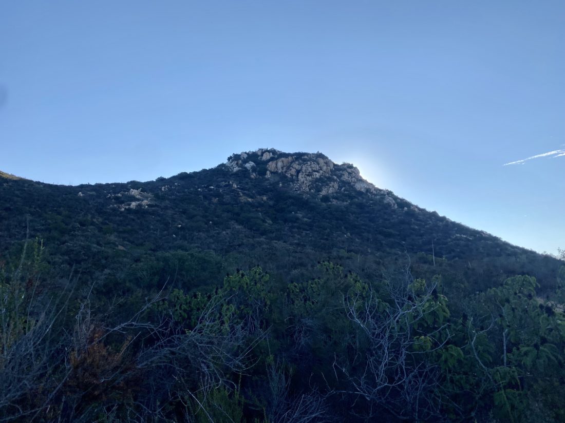
The trail up Miller Peak went well. This section is more exposed, so I got some nice views of the sun as it rose up through the bands of clouds. While the air was getting thinner, the grade wasn’t as bad as that first mile. Soon Miller Peak came into view. I was considering adding it in, but was going to wait and see how I felt after the summit. I took another break when the trail turns back southward, knowing I had about 8/10 of a mile to the summit. I continued my steady pace and at the junction with the trail from Little Round Valley, I took another quick rest break before the final push. I was feeling the poor sleep affect me some and I was at over 10,400 feet. I continued climbing, scanning the trail ahead for that first glimpse of the rescue hut. That was the sign that the maintained trail would end, and then the final rock scramble to the summit would begin. I picked my way up the rocks, following a path that I remembered, and soon the summit came into view.
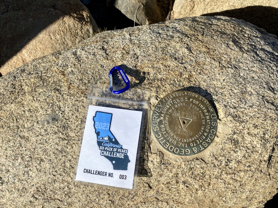
I scrambled up the rocks to the benchmark and took my photo with my challenge badge next to it as my summit proof. I surveyed the views for a short while, then ducked down to find a spot out of the wind and take a VERY well-earned break. I looked around to see if any of the summit signs were around, but I suspect the high winds yesterday and last night might have blown them away. After a nice break, I knew it was time to head down the mountain. I still had to pack up camp and hike back to the tram station. At the Wellman Divide, I met two hikers who had come up via Devil’s Slide. We chatted briefly. One was heading back, while the other was going for the summit. We said our goodbyes and took off down our respective trails. As I made my way down toward Round Valley, I wondered if I might encounter someone attempting C2C today. It was still too early for any hikers to have come from the tram station. Alas, my descent was one of solitude.
After packing up camp, which is much easier in the daylight, I sauntered back toward the tram station. I passed a lot more folks this time, including 10 or so backpackers heading to Round Valley. As I neared the Ranger station, my eye spotted something moving on the trail. I looked down and it was a Western Mountain Toad. I grabbed a photo or two before continuing on. There had been a sign to be aware of them at the Ranger station and I was happy to actually see one. I checked back in with the same ranger as the day before. I also let him know they were down to one roll in the pit toilets near the Gooseberry campsite. I then made that long climb up the concrete switchbacks to the tram station. It certainly was busier than the day before. I got a nice cold soda and waited for the next tram. I always feel bad for folks riding down and having to stand next to stinky hikers and backpackers.
Once back at the car, I let Anita know I was skipping going on to Baden-Powell, as I was a bit wiped from the hike, and I would be home in time for dinner. While certainly not my fastest time up the mountain, it was a solid hike for me.
Ranger Station to Round Valley Campsite: 2.27 miles, 1:19, and 800 feet of gain
Summit: 5.81 miles, 4:30 (moving time), and 1,648 feet of gain.
Round Valley Junction to Ranger Station: 1.94 miles, 1:09, and almost all downhill :).
I am an avid peak bagger, sometimes backpacker, and former sea kayaker living in San Diego. I am the co-author of Urban Trails: San Diego, coming in Spring 2026!
In 2019, I became the third person to complete the San Diego 100 Peak Challenge. Not stopping with that accomplishment, I set my sights on the harder San Diego Sierra Club 100 Peak list, which I completed in 2021. In addition, I have conquered several Six-Pack of Peaks challenges (SoCal, San Diego, Central Coast, and both the Arizona-Winter and Arizona-Summer). I am looking forward to exploring new summits and new adventures across the southwest.