Six weeks ago I had two vertebrae in my neck fused, and now I was about to set off for my first backpacking trip. In addition to the new hardware I was internally sporting, I was also testing out several new pieces of gear. I decided to switch to a Gossamer Gear The One tent, a NEMO Tensor sleeping pad, and replace my JetBoil with an MSR Pocket Rocket 2. All told I shaved about 2 pounds off my base weight. In addition, since this trip was so short, I opted to use my Osprey Stratos 34 pack instead of my bigger Osprey Atmos 65. That pack change took almost another 1.5 pounds off my base weight.
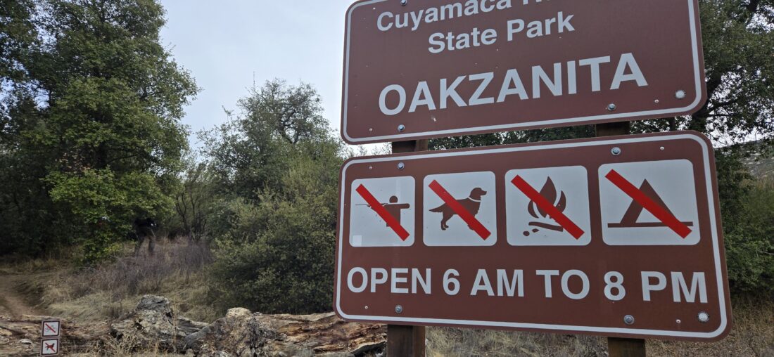
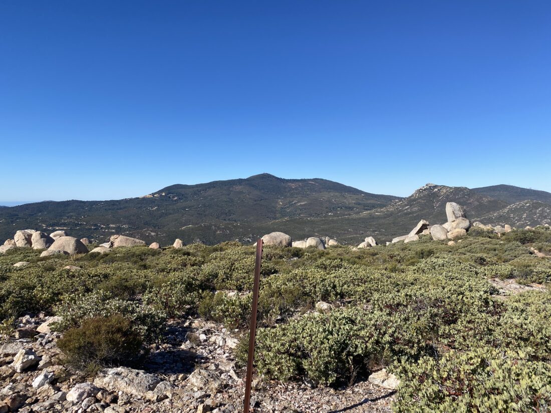
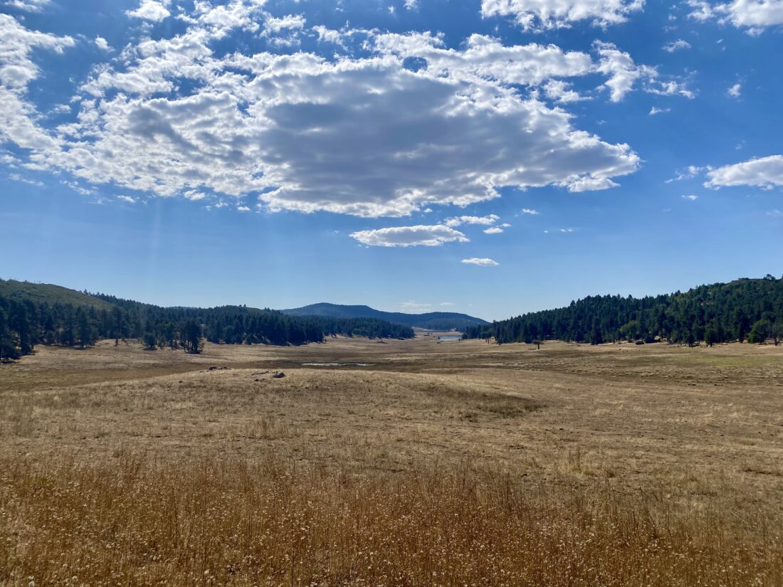
I pulled into the small pullout for Corte Madera in the mid-afternoon. One other car sat there under the warm sun. As I finished getting ready to set off, I drank the last of my pre-hike water. There are no water sources on this hike, so I was being mindful of my hydration needs. I closed the hatch of the Subaru and set off! The first part of the hike is along the road that leads off to several properties to the north. The shade from the oaks was certainly welcomed, as well as a light breeze. Once I reached the turn-off to the Espinoza Trail, I knew I was about to start gaining some elevation. Wildflowers would occasionally dot the side of the trail, making for a pleasant trek up toward the saddle. Once I at the saddle, I turned toward the hard part of the trail—the steep climb up and around Coulter Peak. Having done this peak before, I knew what lay ahead. At the split rock, I took a well-earned rest under the shade of some Coulter pines.
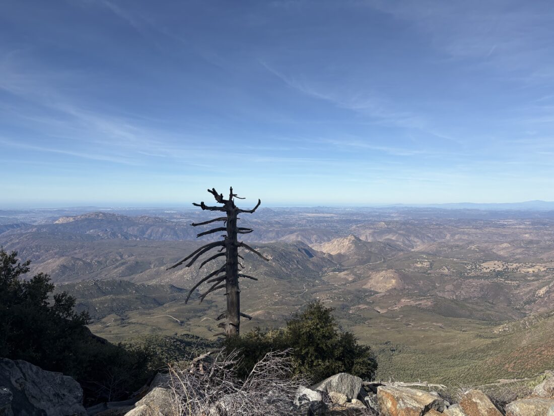
Soon, I found myself nearing my planned campsite. Unlike my REI QuarterDome SL1, which uses a traditional frame for the tent, The One is supported by using your trekking poles and tie-downs. What I was fearful of was that the dirt at the campsite would not allow me to properly stake down the tent. Well, it turns out I was right. The dirt was not deep enough. So I instead had to use heavy rocks to keep the anchor lines in place. With the tent, and the rest of my camp set up, I hiked the 1/3 mile over to the summit to take my summit photo. It felt so odd not to be using my trekking poles even for such a short distance. I did not hang out long on the summit, as I wanted to be back at camp well before sunset.
Once back at camp, I relaxed a bit before making dinner. I did bring a can of “Nature Calls” from Burgeon Brewery to enjoy along with my Mountain House Beef Stroganoff. As the sun sank below the marine layer, I put on my new puffy jacket I plan to use on my Alaskan cruise. Since there was a quarter moon, I knew I wasn’t going to have any great star gazing until the very early morning. So, I turned in for the evening, wondering how my new sleeping pad was going to do. At around 2 in the morning, I awoke wondering why my hip was against the hard ground. It turns out my brand-new sleeping pad had a slow leak. I fumbled around for the sack used to inflate it and got it back to an acceptable level. I was not pleased.
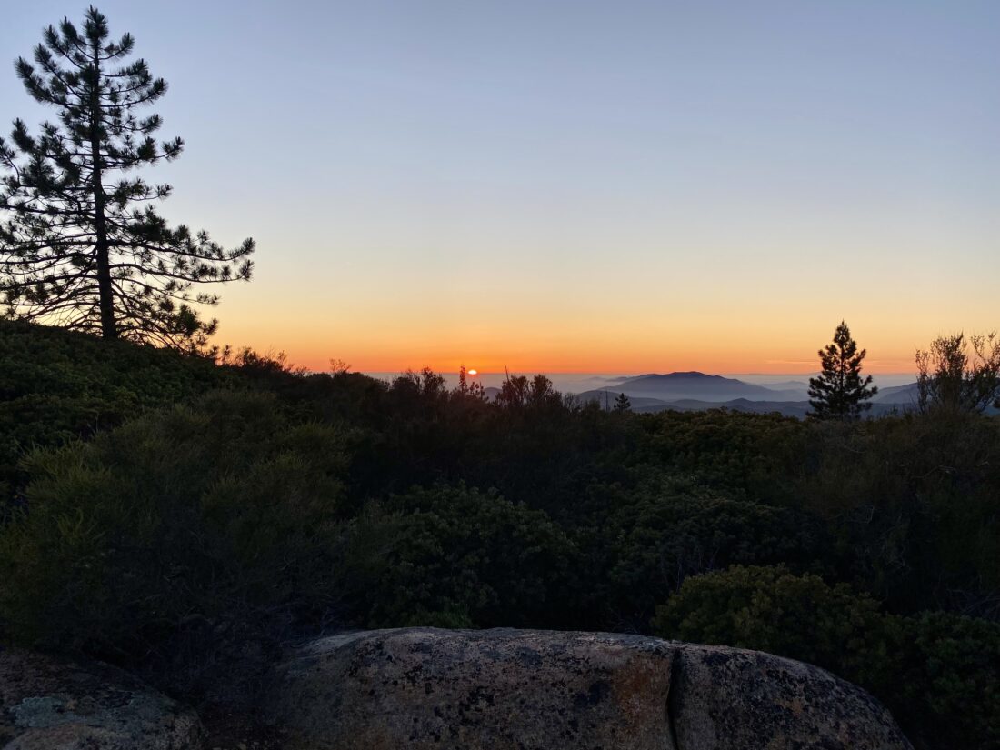
Around 5 am, I awoke again, as the pad had deflated enough again to cause me some discomfort. I knew the sun would be up soon, so I decided to get moving. I brewed a cup of coffee as the sun slowly rose. One of the ways I opted to keep my water load a bit lighter was not to have breakfast at camp, but instead just some coffee and a breakfast bar. I would enjoy a proper meal at Janet’s Montana Cafe in Alpine. One of the camp treats I like to enjoy is a small apple pie for dessert. I was too full yesterday evening to eat it, so I still had it in my food bag. I figured it now counted as a pastry instead of a dessert, so I had it with my coffee instead of the Nutri-Grain bar. I broke camp, but before I headed back to the car, I grabbed just my trekking poles and returned to the summit. I watched the morning light spread out across the landscape.
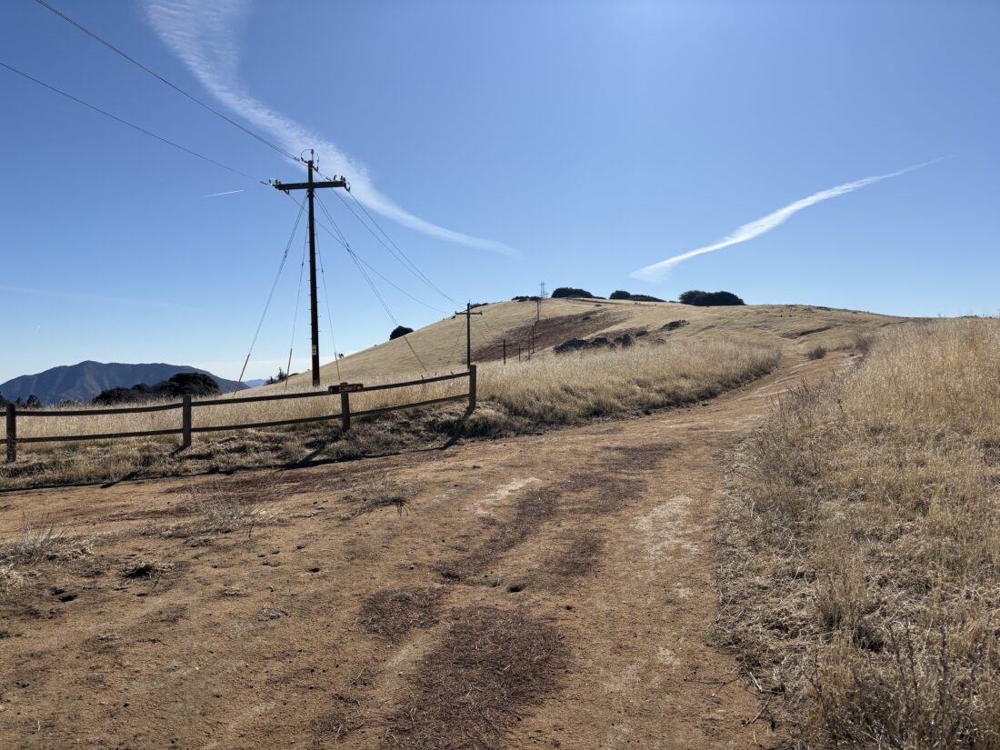
Once back at my campsite, I put on my pack and set off. Just past Coulter Peak, I heard voices from some early morning hikers. I stepped aside as they continued their climb toward the summit. They mentioned they wondered who was already parked at the trailhead this early. I told them I had camped near the summit. Internally, I knew my car was still there. The rest of the return was uneventful and I had about 1/4 liter of water left when I reached the car. In retrospect, I could have taken a bit more to reduce my water anxiety, but I never felt thirsty. I do need to figure out my electrolyte system if I am going to continue to use bottles and not a reservoir, but that is a problem for another day. With a clean shirt and some of the dirt and sweat wiped off, I drove on down to Alpine and enjoyed some delicious biscuits and gravy and a couple of eggs. Except for the sleeping pad issue, the trip went really well. My legs are a little sore, and in looking over my moving time, I think I actually was hiking too fast with my gear. In the end, it was great to be backpacking again. Now to swap out that pesky sleeping pad…
Update
I tested my sleeping pad again to verify the leak. I inflated it at 8am, and at 4pm the pad was still fully inflated. So, what happened while I was out camping? What I think happened is when I was inflating the pad, I overfilled it, so the valve on the pad popped off. Maybe I did not put the value back one correctly. When I testing, I made sure that value was properly seated, and I did not over-inflate, so maybe that was the source of the slow leak.
I am an avid peak bagger, sometimes backpacker, and former sea kayaker living in San Diego. I am the co-author of Urban Trails: San Diego, coming in Spring 2026!
In 2019, I became the third person to complete the San Diego 100 Peak Challenge. Not stopping with that accomplishment, I set my sights on the harder San Diego Sierra Club 100 Peak list, which I completed in 2021. In addition, I have conquered several Six-Pack of Peaks challenges (SoCal, San Diego, Central Coast, and both the Arizona-Winter and Arizona-Summer).
I am looking forward to exploring new summits and new adventures across the southwest.