Visiting the Black Mountain Lookout Tower

I turned off Black Mountain Truck Trail and drove a short distance to the Boulder Basin Campground. This road was slightly rougher, so I had to watch for a few rocks during the drive to the campground. When I arrived, the campground appeared empty. I wondered whether that would change over the upcoming Labor Day holiday, or whether the fire ban in place was keeping the site vacant. I parked under some shade and placed my America the Beautiful pass on my dashboard, just in case a ranger passed through. From the parking area, I followed the service road up toward the lookout tower. Unfortunately, a sign on the locked gate indicated the tower wasn’t staffed today. No matter, I’m already a card-carrying member of the “Ancient and Honorable Order of Squirrels“.

The road led to the summit, and a short, paved path took me from the road to the tower itself. I had some commanding views of the west side of San Jacinto and the lands beyond. Although the upper tower was closed, I climbed partway up the stairs to really enjoy the views. After a quick break, I retraced my route back to the car. Now to return to the Palm to Pines Scenic Byway (aka Hwy 243) and my final peak of the day, Indian Mountain. The hike to the tower was 1.3 miles with a modest climb of 272 feet, and it took me 34 minutes.

Buy Me a Coffee at ko-fi.com

I am an avid peak bagger, sometimes backpacker, and former sea kayaker living in San Diego. I co-authored Urban Trails: San Diego, available now!

In 2019, I became the third person to complete the San Diego 100 Peak Challenge. Not stopping with that accomplishment, I set my sights on the harder San Diego Sierra Club 100 Peak list, which I completed in 2021. I’ve also conquered several Six-Pack of Peaks challenges (SoCal, San Diego, Central Coast, and both the Arizona-Winter and Arizona-Summer).

I look forward to exploring new summits and adventures across the Southwest. 
A Walk ‘n Talk through Crest Canyon

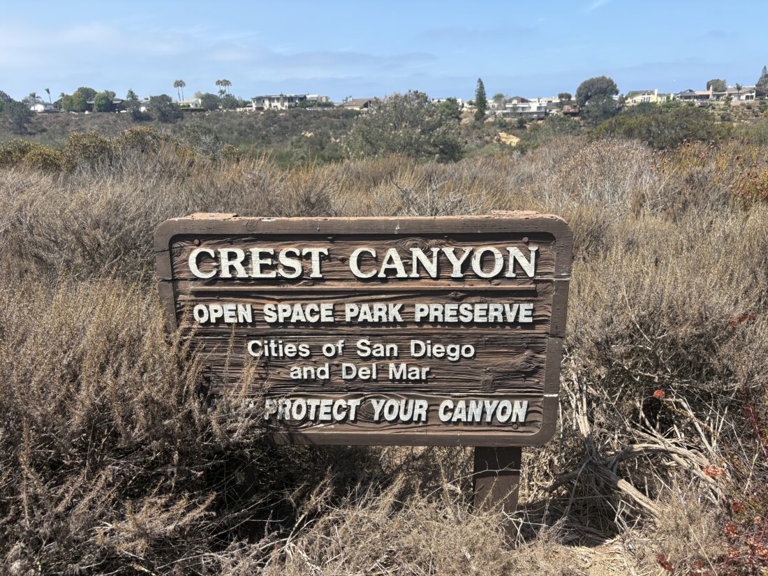
I recently had the chance to assist as a hiking guide for the San Dieguito River Valley Conservancy‘s monthly Walk ‘N Talk. Today, the group was going to hike through Crest Canyon, then continue on to the Old Grand Avenue Bridge to learn about the lagoon’s birds and restoration efforts. From the trailhead, the trail descends to the canyon floor via a series of wooden stairs. Once on the canyon floor, the trail forks: one path follows the west side of the canyon, and the other the east side. These two routes are only separated by about 200 feet. About half down the canyon, the trails rejoin for a short distance, then split apart again. Picture a figure-eight for the trail system. I led my group down the west side trail, as it appeared to be a bit wider. Once at the road, we walked along it westward to Old Grand Avenue Bridge. There is very little traffic on this road, but a car or two did pass us. 

Once at the bridge, Rachel Smith of UC Santa Barbara and Monica Alfaro of Harris and Associates brought rich details about wetlands restoration and wildlife activity. Beneath us, fish swam by, and even a stingray glided past. Soon it was time to hike back up the canyon. Kim from SDRC had left a car here in case anyone might need a shuttle. I led a group up the east side trail. This trail is a bit narrower than the west side one. I will also note that on another visit to this trail, I did encounter a rattlesnake making its way into the brush. Soon, we reached the stairs, and our hike was complete. My fellow guides and I had a quick debrief, and I am looking forward to next month’s Walk ‘N Talk.


Buy Me a Coffee at ko-fi.com

I am an avid peak bagger, sometimes backpacker, and former sea kayaker living in San Diego. I co-authored Urban Trails: San Diego, available now!

In 2019, I became the third person to complete the San Diego 100 Peak Challenge. Not stopping with that accomplishment, I set my sights on the harder San Diego Sierra Club 100 Peak list, which I completed in 2021. I’ve also conquered several Six-Pack of Peaks challenges (SoCal, San Diego, Central Coast, and both the Arizona-Winter and Arizona-Summer).

I look forward to exploring new summits and adventures across the Southwest. 

Exploring the Congress Trail – Sequoia National Park

Years ago, when the twins were little, our family had a vacation at the Wuksachi Lodge in Sequoia National Park. During our stay, my son and I hiked the Congress Trail.

The past few visits to the park haven’t allowed me a chance to hike this trail again. Since I had time before I attempted to get a walk-up permit to backpack to Pear Lake via the Lakes Trail, I decided that revisiting this trail would be perfect. I drove up from Bakersfield, where I had spent the night, and pulled into the parking lot for the General Sherman Tree. I grabbed my waist pack and set off down the trail.

The trail was busy, as the General Sherman Tree is one of the marquee attractions in the park. Once I reached the first junction with the Congress Trail, I discovered that this initial section was closed due to some trail maintenance. Instead, I continued just a short way further down to the next junction.

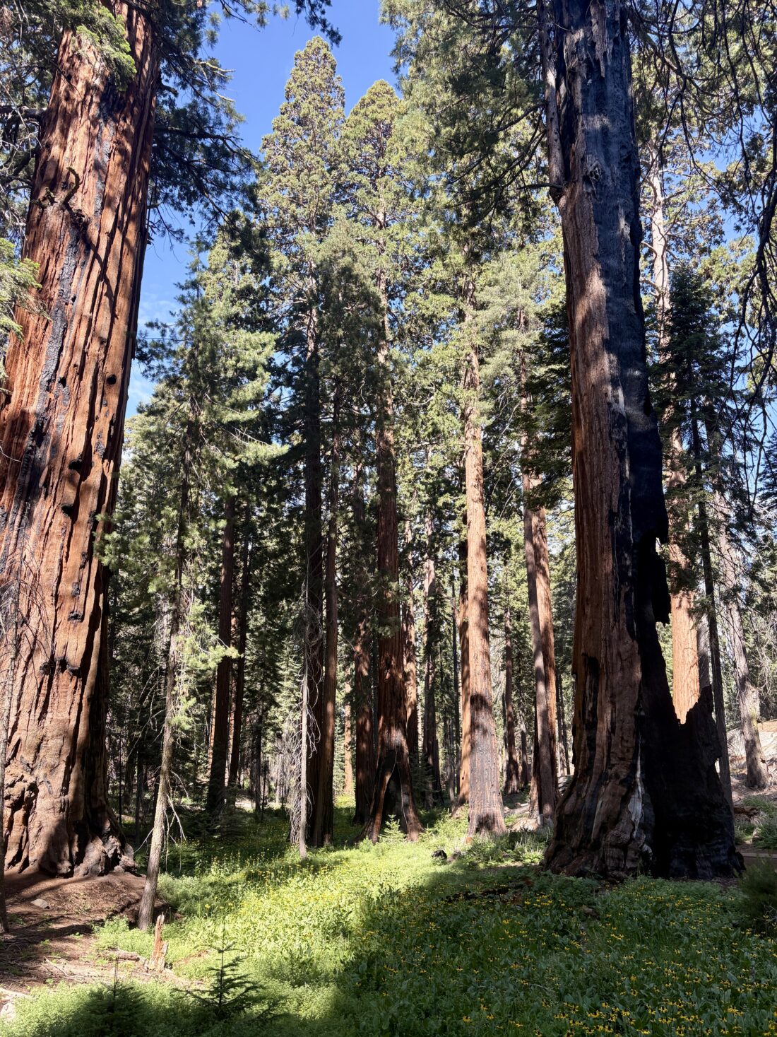
The Chief Sequoyah Tree is the 29th largest giant redwood, the 14th largest tree in Sequoia National Park, and the 10th largest tree in Giant Forest. Very close to this tree is The President, also known as the Warren Harding Tree. It is the world’s 5th largest tree, the 4th largest giant redwood, the 3rd largest tree in Sequoia National Park, the 3rd largest tree in Giant Forest, and the oldest living redwood.

A short distance past it was The Senate group and just a short walk further The House group. Together, these form The Congress Group and thus the trail’s name. As the trail turned northward back to the trailhead, I passed the McKinley Tree, named in honor of the 25th President of the United States.

The trail passed through a fallen redwood, and I vividly remembered stopping here with my son, 15 years ago. I swung by the General Sherman Tree briefly. I had no need to stand in the long line to have my photo taken in front of the “photo spot”, as I admired it from off to the side. I then made the climb back to the car. My loop was 3.05 miles long, and took me 1:12 to do. It was time to head over to the permit office and see about obtaining that permit.


Buy Me a Coffee at ko-fi.com

I am an avid peak bagger, sometimes backpacker, and former sea kayaker living in San Diego. I co-authored Urban Trails: San Diego, available now!

In 2019, I became the third person to complete the San Diego 100 Peak Challenge. Not stopping with that accomplishment, I set my sights on the harder San Diego Sierra Club 100 Peak list, which I completed in 2021. I’ve also conquered several Six-Pack of Peaks challenges (SoCal, San Diego, Central Coast, and both the Arizona-Winter and Arizona-Summer).

I look forward to exploring new summits and adventures across the Southwest. 


Buy Me a Coffee at ko-fi.com

I am an avid peak bagger, sometimes backpacker, and former sea kayaker living in San Diego. I co-authored Urban Trails: San Diego, available now!

In 2019, I became the third person to complete the San Diego 100 Peak Challenge. Not stopping with that accomplishment, I set my sights on the harder San Diego Sierra Club 100 Peak list, which I completed in 2021. I’ve also conquered several Six-Pack of Peaks challenges (SoCal, San Diego, Central Coast, and both the Arizona-Winter and Arizona-Summer).

I look forward to exploring new summits and adventures across the Southwest. 

Visiting Airplane Monument

With another big adventure coming up soon, I did not want to tackle anything significant but still wanted to hit the trail. With the recently launched Cuyamaca Trail Trekker Challenge, hiking up to Airplane Monument seemed like a perfect option. I drove up to Green Valley Falls and paid my $10 day use fee. A sign on the kiosk informed visitors that the falls were bone dry. I then drove down to the trailhead and gathered my gear. The trail passed the small amphitheater as it began its climb. It had been warm the past few days, so I was actually hiking in shorts to keep a touch cooler, even in this early morning.

This trail linked up with the West Mesa Trail and continued to climb. From time to time, I could peer past the vegetation and gaze at the East Mesa and even the highway.

As I drew near the monument, trail signs guided me first to the right, then a short distance later to the left. Down a small connector trail sits the mounted V-12 engine from a twin-seat Army DeHaviland DH4B model biplane that crashed back in 1921. Both U.S. Army pilot First Lieutenant Charles F. Webber and U.S. Cavalry Colonel Francis C. Marshall lost their lives when, in the fog, coupled with a failing engine, they were unable to clear the mountain. This memorial was erected in their memory.

I moved the wooden Airplane Ridge High Point sign off to the side to take my photos. I considered relocating it to the actual high point, which is actually about ½ mile up Airplane Ridge. But since I was wearing shorts and I didn’t want to venture off trail to reach the proper spot, I left it behind. After a few photos and a moment of reflection, I headed back down the trail. I briefly entertained the idea of also doing Oakzanita Peak, which is on the challenge, but the day was heating up. Soon I was back at the car and heading to REI to get some fuel for my upcoming backpacking trip. The final stats for this jaunt were 3.6 miles in 1:20, with 802 feet of gain.


Buy Me a Coffee at ko-fi.com

I am an avid peak bagger, sometimes backpacker, and former sea kayaker living in San Diego. I co-authored Urban Trails: San Diego, available now!

In 2019, I became the third person to complete the San Diego 100 Peak Challenge. Not stopping with that accomplishment, I set my sights on the harder San Diego Sierra Club 100 Peak list, which I completed in 2021. I’ve also conquered several Six-Pack of Peaks challenges (SoCal, San Diego, Central Coast, and both the Arizona-Winter and Arizona-Summer).

I look forward to exploring new summits and adventures across the Southwest. 

Exploring the Picture Canyon Trail

I realized when I was hiking in Yosemite that my trail runners had hiked on portions of the Appalachian Trail while I was visiting Shenandoah National Park and the Pacific Crest Trail. I mused, could I have them hike the “Triple Crown” by hiking a portion of the Continental Divide Trail? I doubted I could make that happen, but maybe another scenic trail? They also hiked some of the John Muir Trail… Well, over the Fourth of July weekend, my wife and I spent it in Flagstaff with a friend from college and her husband. We hiked the Picture Canyon Trail, which also included a portion of the Arizona Scenic Trail.

We decided to hike the nearby Picture Canyon Trail to kick off our time in Flagstaff. This trail is relatively flat and has several points of interest along it. From the trailhead, we opted to follow the loop counterclockwise. Down in a small, narrow canyon, water flowed over the volcanic rocks. After about 0.6 miles, we connected with the Arizona Scenic Trail. Achievement unlocked for my shoes! 🙂 We crossed over the Rio De Flag Bridge, then left the AZT to view the Waterbird Petroglyph site.

After viewing them, we began to loop back around. Unfortunately, the air was also starting to turn, as the winds had shifted and the smoke from the Pocket Fire was now starting to arrive. When the trail we were on crossed the AZT again, the ladies stayed on the Tom Moody Trail for a shorter route back to the trailhead, while the guys hopped back on the AZT. After about 0.6 miles, we came to the junction with the Don Weaver Trail. This trail took us past the remains of an indigenous dwelling known as the Pithouse and an overlook. We soon found ourselves back at the car. This easy loop was 4.3 miles long and took us 1:49.

After lunch, we headed into downtown Flagstaff, where I stopped into Evolved Supply Co. While Darwin was not in, I enjoyed chatting with some of the staff. Unfortunately, the pot I wanted to buy was sold out (I placed an order online).


Buy Me a Coffee at ko-fi.com

I am an avid peak bagger, sometimes backpacker, and former sea kayaker living in San Diego. I co-authored Urban Trails: San Diego, available now!

In 2019, I became the third person to complete the San Diego 100 Peak Challenge. Not stopping with that accomplishment, I set my sights on the harder San Diego Sierra Club 100 Peak list, which I completed in 2021. I’ve also conquered several Six-Pack of Peaks challenges (SoCal, San Diego, Central Coast, and both the Arizona-Winter and Arizona-Summer).

I look forward to exploring new summits and adventures across the Southwest. 

A hike up Hawksbill Mountain

Despite a sore calf, I decided to try to make the short hike up Hawksbill Mountain. I parked at the trailhead, gathered my gear, and began strolling up the trail. Thankfully, the grade was mild and did not aggravate my calf too much.

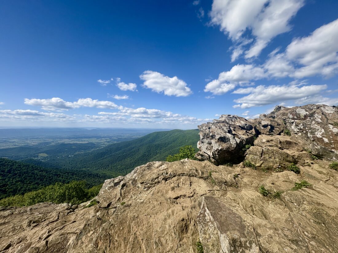
I passed a deer enjoying the grass, looking at the passing hikers without a care in the world. Soon, I approached the day-use hut and was greeted with a sweeping view of the Shenandoah Valley. The true summit lay about 50 yards to the north, and I hiked over to it. There, a stone platform had been built back in the 1930s by the CCC. I chatted with a family from Ohio for a bit before heading back down.

It was now late enough to check in to the Lodge where I was staying for the night. Once settled in, I grabbed a beer and sat outside and soaked in the views. How I wish Anita were with m

The hike up Hawksbill was 2.1 miles in 1:10 with 348 feet of gain. It was also my third national park high point!


Buy Me a Coffee at ko-fi.com

I am an avid peak bagger, sometimes backpacker, and former sea kayaker living in San Diego. I co-authored Urban Trails: San Diego, available now!

In 2019, I became the third person to complete the San Diego 100 Peak Challenge. Not stopping with that accomplishment, I set my sights on the harder San Diego Sierra Club 100 Peak list, which I completed in 2021. I’ve also conquered several Six-Pack of Peaks challenges (SoCal, San Diego, Central Coast, and both the Arizona-Winter and Arizona-Summer).

I look forward to exploring new summits and adventures across the Southwest. 

Exploring Temescal Peak

My second peak of the day was going to be Temescal Peak, another on the Lower Peak Committee list. I parked at the end of the Marvin Braude Mulholland Gateway Park, topped off my water, and set off. The trail soon met up with Mulholland Drive, which I took for a bit before I turned on the Temescal Fire Road. I cruised along until I reached “The Hub”, which had a nice shaded bench, some information about the complex geology of the region, and a porta-potty. Several trails branch off from here, hence the name.

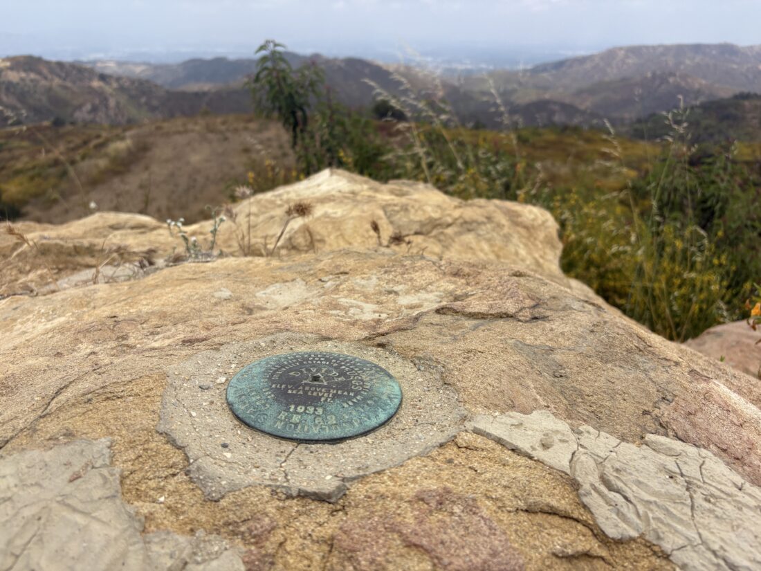
Off in the distance, I could see my destination. I continued on the fire road until I reached the Backbone Trail, which took me almost to the summit. I took in the views; the May Grey had begun to burn off, but not quite enough to see the Pacific. After a quick snack, I headed back, as I was dreaming of a nice pastrami sandwich for lunch.

Along the way, I did take a moment to explore the Cathedral Rocks before a break under that shade structure. Before too long, I was back at my car. Now for that sandwich… The hike was 6.7 in 2:20, with 721 feet of gain.


Buy Me a Coffee at ko-fi.com

I am an avid peak bagger, sometimes backpacker, and former sea kayaker living in San Diego. I co-authored Urban Trails: San Diego, available now!

In 2019, I became the third person to complete the San Diego 100 Peak Challenge. Not stopping with that accomplishment, I set my sights on the harder San Diego Sierra Club 100 Peak list, which I completed in 2021. I’ve also conquered several Six-Pack of Peaks challenges (SoCal, San Diego, Central Coast, and both the Arizona-Winter and Arizona-Summer).

I look forward to exploring new summits and adventures across the Southwest. 

Returning to Ruffin Canyon

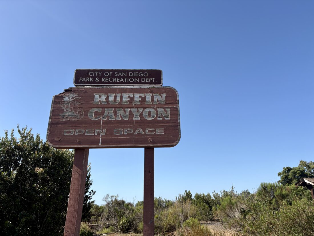
My social media algorithm informed me that the Ruffin Canyon trail had a ribbon-cutting ceremony after some trail restoration, so I was eager to see what had been done to it. Ted and I had hiked it to see about including it in Urban Trails: San Diego back in 2024. We both agreed that we did not recommend it, but with this event plastered all over my feeds, I had to give the trail a second chance. Ted & I parked at the Taft Street trailhead. A condominium now stood across from the school, and several more were under construction. I decided to film this hike, so that meant stopping from time to time to set up the camera, etc. We weren’t in a rush, so it wouldn’t be an issue. The trail took us past the Bonnie Hough Natural Habitat Garden and then began its descent into the canyon. The trail appeared to be as we remembered, but the grasses near the trail had been trimmed.

Wooden stairs aided our descent from time to time, and those two green tunnel sections remained. The trail followed the cement water trough, but again clear evidence of some cleanup work. Once we reached the canyon floor, the trail alternated from dirt to small sections of river stones. Again, it seemed some work had been done here as well. Just after the junction with the Shawn Street connector, the trail left the canyon floor and followed the east side of the canyon. Here we could really see the work done on this trail, as we crossed a nice bridge over a small drainage gully, then onto a very well-graded trail. After crossing two more bridges, we chatted with a gentleman hiking up the canyon. He inquired if we had seen any foxes. I mentioned I thought I might have seen some scat, but not the foxes themselves. Apparently, somewhere on the west side of the canyon is their den, and at dawn or dusk, you can hear them. We parted ways and continued on.

From the news reports, there is apparently a tunnel under Friars Road that allows pedestrians access into this area, which is actually in a gated complex. We followed a few streets before getting on a designated walkway that did indeed lead to a tunnel. This access tunnel is only open during daylight hours. After passing through, we debated strolling over to Costco for a smoothie before hiking back up. Ted and I both agreed that, with these improvements, it probably would have made the book. We retraced our route to the junction with the Shawn Trail and decided to explore it. It was a bit rockier than the main trail for a while, but nothing awful. Once we reached its terminus, we hiked back down into the canyon to return to our car. This was a great urban trail, and I hope folks in Serra Mesa enjoy it. Our next stop was lunch in La Mesa, as I needed to test my setup for a book talk at Helix Brewery next week. I also forgot to mention that this was a birthday for me, and Duke’s Old Fashioned Onion Burgers had a sign already up! (not really for me, but hey, I’ll take it!).


Buy Me a Coffee at ko-fi.com

I am an avid peak bagger, sometimes backpacker, and former sea kayaker living in San Diego. I co-authored Urban Trails: San Diego, available now!

In 2019, I became the third person to complete the San Diego 100 Peak Challenge. Not stopping with that accomplishment, I set my sights on the harder San Diego Sierra Club 100 Peak list, which I completed in 2021. I’ve also conquered several Six-Pack of Peaks challenges (SoCal, San Diego, Central Coast, and both the Arizona-Winter and Arizona-Summer).

I look forward to exploring new summits and adventures across the Southwest. 

Along the Coast to Crest Trails…

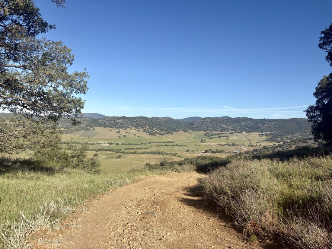
I parked along Farmer Road just before sunrise. Slipping on my fleece, I set off for what I hoped to be the first of five hikes that would complete this year’s San Dieguito River Foundation’s Coast to Crest Challenge. A rooster announced the coming daylight as I made my way toward the junction with the Five Oaks Trail. I cruised along the trail, watching the sun reach out across the mountains. When the Five Oaks Trail rejoined the main trail, I turned back down to the trailhead instead of continuing onto the summit. I must admit it felt weird skipping the summit, but I had a lot of miles to cover today. The descent went quickly, and I was back at the car, ready for hike number 2, the Santa Ysabel Nature Loop.

I parked at the Visitor Center and set off along the trail. I opted to do the loop counterclockwise to get the climb over with first. Being mindful of my pace, I cruised along the loop. The hills were still green, and a small pond still held water. Once down from the ridge, I turned back toward the visitor center. Grazing cows were scattered about as I hiked along. Back at the car, I put on a dry shirt and first stopped at Don’s Market for a cold drink and then at Dudley’s Bakery for a tasty cinnamon roll before driving to San Pasqual Valley for hikes 3 & 4.

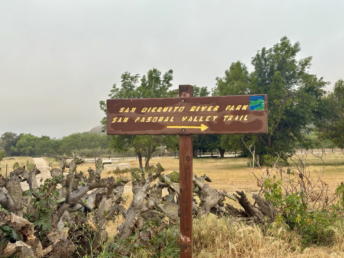
I pulled into the parking lot for the longest hike of the challenge, San Pasqual Valley to Mule Hill. The actual challenge is two hikes, but since I was trying to do this in a single day, I planned to link them. I had scouted the trail about a month earlier and knew it was almost completely flat.

I cruised along the farmlands, enjoying a podcast and the smell of fresh soil. As I neared Santa Maria Creek, I saw a sign saying the trail was closed due to herbicide spraying. Darn it! Why wasn’t this posted at the trailhead? I turned back; so much for doing all five sections in a day. While I didn’t do all of it, it was still a great day on the trail.


Buy Me a Coffee at ko-fi.com

I am an avid peak bagger, sometimes backpacker, and former sea kayaker living in San Diego. I co-authored Urban Trails: San Diego, available now!

In 2019, I became the third person to complete the San Diego 100 Peak Challenge. Not stopping with that accomplishment, I set my sights on the harder San Diego Sierra Club 100 Peak list, which I completed in 2021. I’ve also conquered several Six-Pack of Peaks challenges (SoCal, San Diego, Central Coast, and both the Arizona-Winter and Arizona-Summer).

I look forward to exploring new summits and adventures across the Southwest. 

Exploring San Pasqual Valley

In April, I hope to hike all 5 sections of this year’s Coast to Crest Challenge in a single day. I have hiked all the sections before, except for a portion in San Pasqual Valley. So, this morning’s goal was to scout this section before that attempt. I drove out to the trailhead under low clouds and parked in the empty lot. I gathered my gear, had one last drink of coffee, and set off along the trail. It passes by a collection of orchards and farmland as it works its way to the west. Quite a few benches dotted the trail, offering places to rest. Some workers were out tending the sod farm as the trail turned southward. Once it reached Bandy Canyon Road, the route again turned west.

Here, I followed the road for some time, with a portion passing the Verger Dairy and some farm workers’ homes before returning to a more protected trail. A lovely bridge crossed over the dry Santa Maria Creek. I continued on until I reached the Ysabel Creek Road Staging Area and turned back. I had hiked that portion of the trail a few years back and did not need to scout it again. I retraced my route, enjoying one of my podcasts, and soon was back at the car. It was a pleasant 5.5-mile jaunt.


Buy Me a Coffee at ko-fi.com

I am an avid peak bagger, sometimes backpacker, and former sea kayaker living in San Diego. I co-authored Urban Trails: San Diego, available now!

In 2019, I became the third person to complete the San Diego 100 Peak Challenge. Not stopping with that accomplishment, I set my sights on the harder San Diego Sierra Club 100 Peak list, which I completed in 2021. I’ve also conquered several Six-Pack of Peaks challenges (SoCal, San Diego, Central Coast, and both the Arizona-Winter and Arizona-Summer).

I look forward to exploring new summits and adventures across the Southwest.