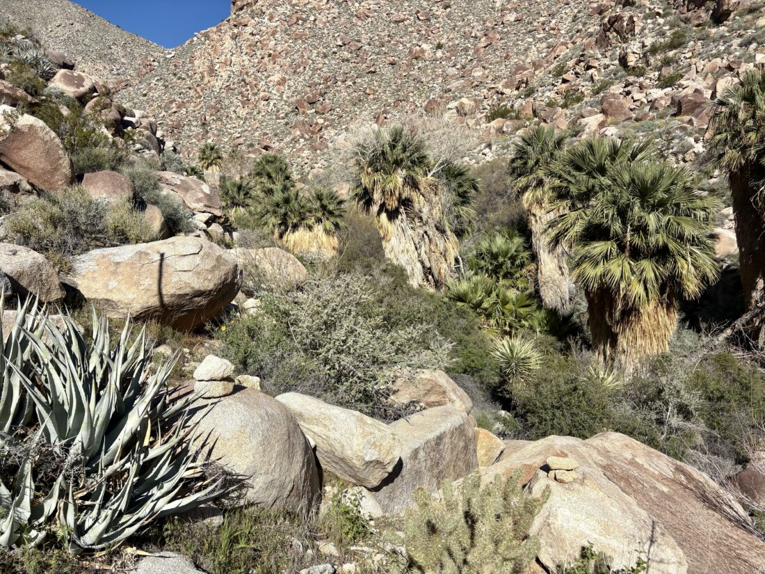
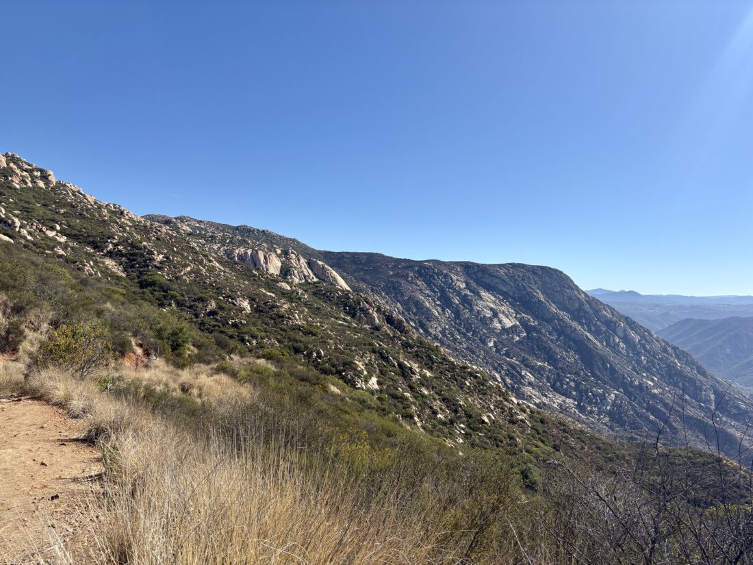
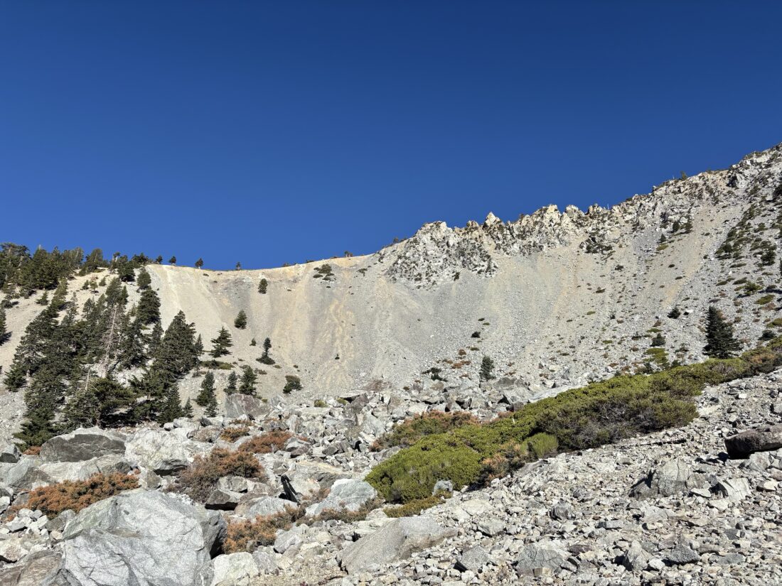
With the Palm Springs Aerial Tram closed for its annual maintenance, I had three options to ascend Mt. San Jacinto: via Marion Mountain Trail, Devil’s Slide Trail, or Deer Springs Trail. I had done the first two routes, so I decided to try taking the Deer Springs route to the summit. Initially, I had planned to do this as a backpacking trip staying at Little Round Valley, but the weather forecast called for a 40% chance of snow showers, so that was not going to happen. Instead, I opted to just do it as a long day hike instead. I pulled into the Ranger Station in Idyllwild and found that the only permits were for overnight trips. Given the government shutdown, it did not surprise me that the day-use permits had run out. So, figured I would hike without having one (they are free). From there, I made the short drive to the parking area for Deer Springs Trailhead. I shouldered my heavy pack and set off. I opted to carry 2.75 liters of water, as well as my Sawyer filter. According to SacJacJon.com, there should have been some water flowing at various spots along the trail, and the rains from the day before should ensure the flows were good. The temperatures were in the mid-50s, and the skies were partly cloudy as I set off up the trail. I knew I had a long, hard day ahead of me and tried just to keep a steady pace. I mentally broke the hike down into sections, from each trail junction to the next. My first milestone was the turn off to Suicide Rock about 2.1 miles in. Here, I made sure to have a quick snack while I continued my climb. The next up was Strawberry Junction, 1.6 miles later. There, I would now join the Pacific Crest Trail for a while.
When the PCT met with the Marion Mountain Trail, I decided to take a break and have another snack. A Sierra Club Los Angeles outing also arrived just as I did, and also took a short break. It was still cool, and I had worked up a sweat, so I slipped on my fleece to keep from getting a chill. I chatted with some of my fellow hikers. Their plan was to climb Marion Mountain and Drury Peak, two of the several Hundred Peak Section peaks scattered around San Jacinto. I stashed my fleece and set off up the trail toward the junction with Fuller Ridge. However, the breeze was a bit stronger on this side of the mountain, and I quickly stopped and put my fleece back on. Deer Springs was flowing quite nicely, so if I returned this way, I knew I had a solid water source to rely on. The Sierra Club hikers stopped at the Fuller Ridge junction, and I continued, leaving the PCT behind. After about 1.2 miles, I came to Little Round Valley. Some hikers were milling around the creek that was flowing just before the campground. If I had been able to camp here, I would have had a good water source. I looked over some of the campsites. While you can’t reserve them, you are supposed to camp at one of the designated locations. There is a simple outhouse here. Now, it was time for the final push to the summit. I had about 1.2 miles and over 800 feet of gain to reach the junction with the Peak Trail. I could start to feel the effects of the trail as I worked up the steep slope. I was over 10,000 feet up, and I could definitely tell.
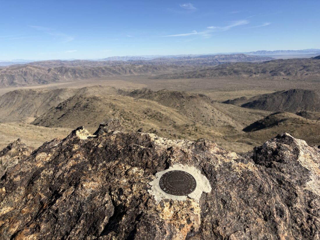
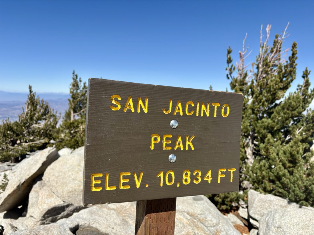
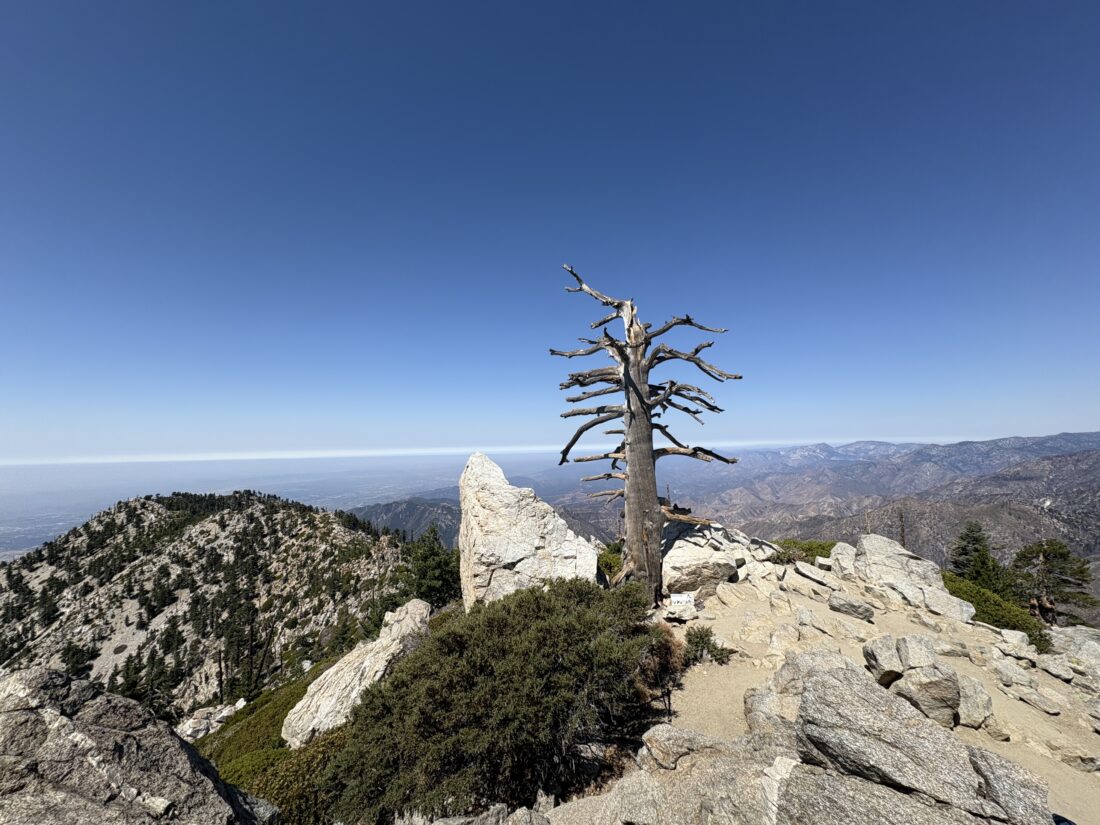
I realized I should have had another snack in Little Round Valley, but opted to continue on. Initially, I had planned to stop at the junction for lunch, but the wind made things a tad chilly, so I decided to head for the Emergency Hut that sits just below the summit. I stepped inside, slipped off my pack, and stretched out on one of the bunks. I mixed up some electrolytes and ate my PB&J and oranges. I had a touch of cell service, so I checked in with my wife and let her know my status. Feeling much better, I shut the door to the hut and made the short scramble to the summit proper. The hikers I had passed in Little Round Valley were mingling around. I grabbed a few photos for myself and took a few for them. According to my Govee, it was 48°F and probably 10-15 mph winds, with some stronger gusts. I made the right call to enjoy my lunch in the hut.
With that summit, I completed all 12 peak options on the Six Pack of Peaks Challenge! Now for the long descent back to the car. I debated whether I should retrace my route or head back via Wellman Divide, then over to Strawberry Junction. Since I had never hiked the section from Annie’s Junction to Strawberry, why not? I still had enough water on me, plus I would be passing the Wellman Cienaga if I needed to refill. The descent went smoothly, partly because I brought my rubber tips for my trekking poles, which made them extra grippy through the rockier sections. I stopped at Wellman Divide for another snack and to drink some more electrolytes before continuing down. I also stashed my fleece, as the winds had almost died down completely. At the cienaga, I filled my CNOC bladder with about a liter of water. I did not need it then, but I could not fully remember if I had any remaining water crossings below Strawberry Junction (Narrator: There was one). At Annie’s Junction, I left the Mount San Jacinto State Wilderness and crossed back into the San Jacinto Wilderness. As an added bonus, I rejoined the PCT. The Strawberry Cienaga was dry, and I hiked past it. After getting slightly off the trail a bit due to my wandering over to enjoy a vista, I stopped at the Strawberry Campsite. The campers had their tents set up, ready to enjoy their overnight stay. There was another site off to the west that I might have to come back and enjoy next season.
Back at Strawberry Junction, I saw a trail runner I had seen at the summit. It turned out he missed the turn-off at Annie’s Junction and headed down toward Humbler Park via the Devil’s Slide. He opted to retrace his route rather than continue, but it had added another 6 miles to his already long day. I would have continued down and hitched a ride. I offered some water or food if he needed any. He declined both. We opted to hike the remaining 3.6 miles together, chatting about a myriad of things. Once back at his car, he thanked me for the conversation, saying it had helped distract him during the descent. I then checked my tracker and saw it had stopped a bit after Strawberry Junction. I took a screengrab to record what had been logged, along with an approximate timestamp. With a bit of work, I filled in the missing data. It was now just a touch after 6 pm, almost a full 12 hours on the trail. I let Anita know my status and when to expect me home. All told, I hiked 19.2 miles, with a moving time of 10:10 and an elevation gain of 5,240 feet!
I am an avid peak bagger, sometimes backpacker, and former sea kayaker living in San Diego. I am the co-author of Urban Trails: San Diego, coming in Spring 2026!
In 2019, I became the third person to complete the San Diego 100 Peak Challenge. Not stopping with that accomplishment, I set my sights on the harder San Diego Sierra Club 100 Peak list, which I completed in 2021. In addition, I have conquered several Six-Pack of Peaks challenges (SoCal, San Diego, Central Coast, and both the Arizona-Winter and Arizona-Summer).
I am looking forward to exploring new summits and new adventures across the southwest.