Hiking up Arch Canyon

My first stop on my southern Arizona adventure was to explore Organ Pipe Cactus National Monument. I had secured a site at the Alamo Primitive Campground for Thursday night, so I used that as my anchor for planning the rest of the adventure. Originally, I was going to be backpacking the Highline National Trail, but some scheduling issues made that no longer possible. After making the drive over from San Diego, I fueled up in Gila Bend, grabbed a Subway sandwich for dinner, and headed south on the 85.

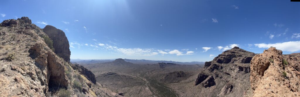
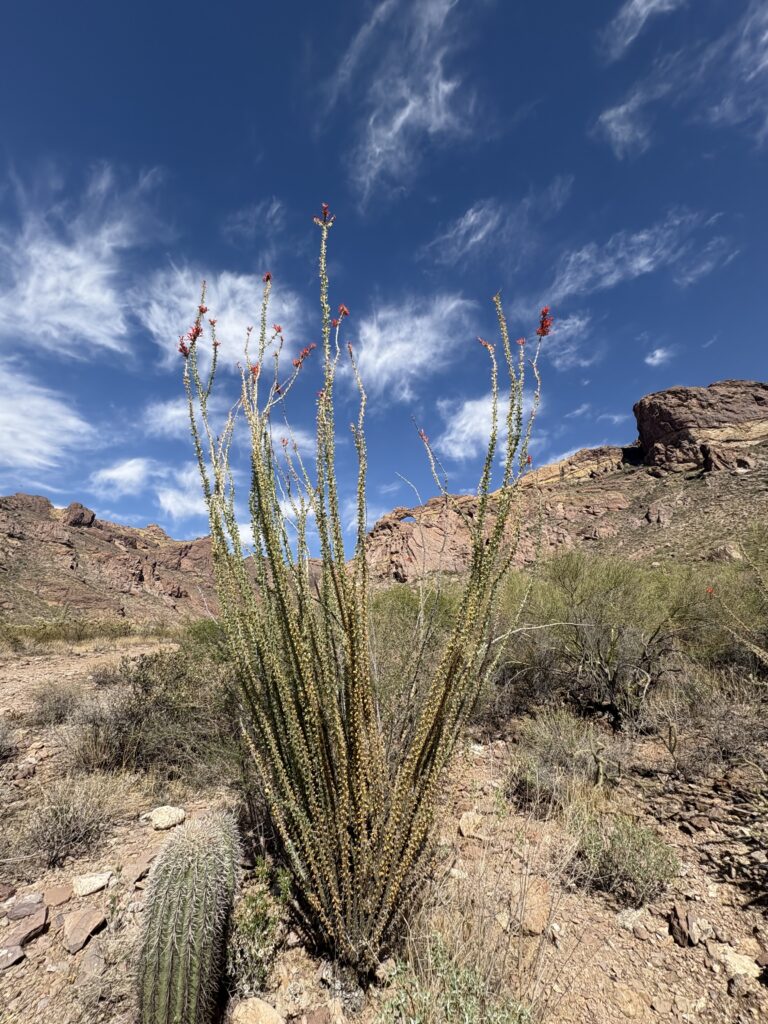
I first made a stop at the Kris Engel Visitor Center to get my Junior Ranger badge and to check about the trails I hoped to hike that afternoon. Leaving the visitor center, I set off along Ajo Mountain Drive to the respective trailheads. This road is one way, so I really did not have a choice in the order I hiked them. I had a drive tour guide booklet, but I had watched a good YouTube video of this drive, so I was familiar with the sights. I pulled into the parking area for the Arch trail. The arch, actually a double arch, is visible from the trailhead, but I wanted to hike up the canyon and explore the area near it. Two cars were in the lot when I arrived, and another joined soon after I did. I changed into my hiking gear and set off. I had frozen two bottles of water, and they were still about half ice when I set off. The car thermometer read 85° F.

The maintained trail headed along the south side of the canyon, working its way back and around the ridge on which the arch is located. After about 0.6 miles, the maintained trail ends. A metal bar lies on the ground. From here, you follow a well-marked use trail up the slope of the ridge. Cairns are plentiful, and usually, you can also see the well-worn path. I came upon a couple from Finland who were not enjoying this hike. I offered water or snacks if they needed them, but they refused. I think they decided to turn back, as I did not see them again. A short time later, a hiker passed me coming back from the top. We chatted briefly before going our respective ways.

I reached the ridgeline and made my way toward the arch, but as I drew near, I could not find a safe enough route to fully get to it. I could see a portion of it, and that would have to do. I began working my way back down when the hiker who pulled in the parking lot after me arrived at the summit. She had hit the trail before I did, and I was wondering where she had gone. She mentioned that she poked around the southern part of the ridge before coming close to the arch. The descent was slow as the route was a combination of steep grade and loose rocks. I took my time and enjoyed the shade offered by the ridge and the light breeze. Soon, I was back on the maintained trail and cruised back to the car. Got in 2.4 miles and 1,004 feet of gain. I need a total of 5 miles hiked to earn my “I Hiked the Green Desert” pin. Let’s see how many miles I can do along the next trail.

Buy Me a Coffee at ko-fi.com

I am an avid peak bagger, sometimes backpacker, and former sea kayaker living in San Diego. I co-authored Urban Trails: San Diego, available now!

In 2019, I became the third person to complete the San Diego 100 Peak Challenge. Not stopping with that accomplishment, I set my sights on the harder San Diego Sierra Club 100 Peak list, which I completed in 2021. I’ve also conquered several Six-Pack of Peaks challenges (SoCal, San Diego, Central Coast, and both the Arizona-Winter and Arizona-Summer).

I look forward to exploring new summits and adventures across the Southwest. 

Hello, Mount Hollywood

Besides my love of hiking, I also have a passion for space, particularly crewed capsules. In fact, I also run American-spacecraft.org, which catalogs the locations of the various spacecraft. Recently, the three capsules on display at the California Science Center in Los Angeles were temporarily moved to a new gallery and shown without their usual protective enclosures. I wanted to drive up and photograph them for the site.

The Mercury-Redstone-2, Gemini 11, and the Apollo-Soyuz Test Project capsules

Since I was in the LA area, I also decided to do a hike. I opted to hike up Mount Hollywood in Griffith Park, which was not too far away from the museum. I arrived near the Trails Café and found parking along the street. I gathered my waist pack and poles and set off up the East Observatory Trail. This moderately steep trail works its way up toward, as you might guess, the Griffith Observatory. (FYI, no relation to that Griffith).

From there, I walked across the parking area to the Charlie Turner Trailhead to begin the second portion of the climb. I could see the summit from the parking lot. Tourists milled about, snapping photos with the Hollywood sign behind them, or next to the memorial for James Dean. Carefully crossing the road, I took the trail to start the second portion of this climb. Following the wide trail, it worked its way around the mountain with a gentler grade than the first section. Along the way, I quickly stopped at the Tiffany & Co. Foundation Overlook for a nice view of that famous sign. From there, I continued upward, passing Captain’s Roost, one of three folk gardens in Griffith Park, before reaching the actual summit (aka the Tom LaBonge Panorama). I snapped a few photos, but the west side of LA was still pretty fogged in, and the rest of LA had a bit of haze as well. I need to come up here on a good Santa Ana day.

I retraced my route down to the Observatory. I wanted to pop in and see if a friend was working, but they are closed on Monday. Instead of taking the East Observatory trail back to the car, I opted to take the West Observatory trail instead. Both rejoin right where I parked, so it was not an issue. I stopped off at the Trails Café and enjoyed a cold iced tea and part of a delicious chocolate chip cookie. With another peak crossed off the Lower Peaks Committee list, I changed my shirt and shoes and made the 30-minute drive to the museum to see those capsules. The actual hike was 5.31 miles with 1087 feet of gain that I covered in 1:45. There is one more LPC peak in Griffith Park, so I will be back soon. 


Buy Me a Coffee at ko-fi.com

I am an avid peak bagger, sometimes backpacker, and former sea kayaker living in San Diego. I co-authored Urban Trails: San Diego, available now!

In 2019, I became the third person to complete the San Diego 100 Peak Challenge. Not stopping with that accomplishment, I set my sights on the harder San Diego Sierra Club 100 Peak list, which I completed in 2021. I’ve also conquered several Six-Pack of Peaks challenges (SoCal, San Diego, Central Coast, and both the Arizona-Winter and Arizona-Summer).

I look forward to exploring new summits and adventures across the Southwest. 

Venturing to Three Sister Falls

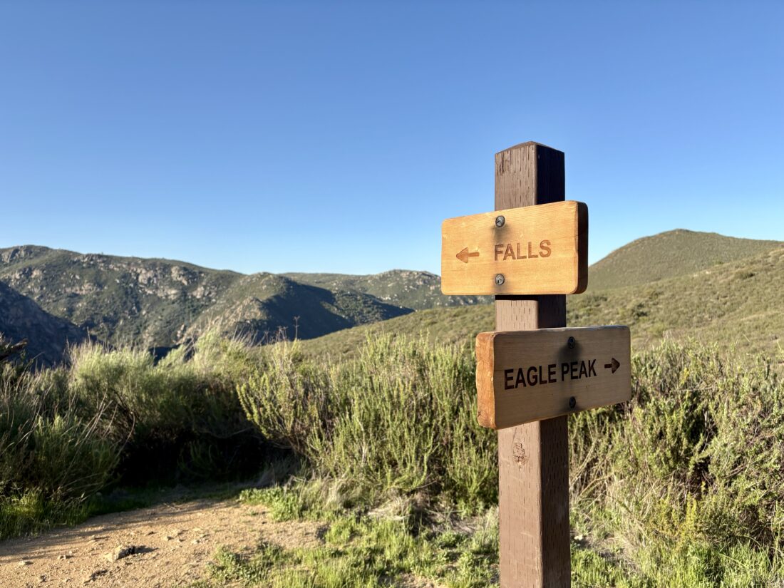
Don’t judge me, but I have never hiked down to Three Sisters Falls. Whenever I have been out there hiking to Eagle Peak, the falls weren’t flowing, so I never added the extra miles to go see them. Since I knew they were currently flowing, I made the trek out. In 2024, the parking area for the trailhead got a major upgrade: pit toilets, picnic benches (with shade structures), and an expanded parking lot. More importantly, the trailhead was renamed to Cha’chaany Hamuk Trailhead, which translates roughly to “three sisters” in the Kumeyaay language. A few cars were already here when I pulled in. I quickly read over the information on the nearby kiosk before setting off down the trail. It was a pleasant morning as I reached the signpost indicating my left-hand turn to begin my long descent to the falls. From time to time, I could spy them off in the distance, as the trail followed the contours downward. Before the trail realignment, a portion of the trek down to the falls entailed using ropes to scale the steep slope!

Soon, I began hearing the flowing sounds coming from Boulder Creek and knew my destination was getting closer. With a short climb, the falls stood before me, cascading over the smooth rocks into large pools. A few people milled about, some exploring the upper two falls, while some stayed at the first fall. I found a nice rock to take a break and soak in the view. I wandered about the lower pool, as I didn’t feel like climbing to the upper falls. Since I had some chores waiting for me back home, I did not linger too long. I snapped a few more photos and began my ascent back to the car. As I climbed, I began to encounter more and more hikers making their way down, including one group of about 20! I was glad I arrived early. Before too long, the parking area came into view. The old parking area appears to be either an overflow lot or the helicopter landing area. I tossed my gear into the car and changed into a dry shirt before heading home. I recorded the hike as 3.8 miles long with a healthy 934 feet of gain (all on the way back).


Buy Me a Coffee at ko-fi.com

I am an avid peak bagger, sometimes backpacker, and former sea kayaker living in San Diego. I co-authored Urban Trails: San Diego, available now!

In 2019, I became the third person to complete the San Diego 100 Peak Challenge. Not stopping with that accomplishment, I set my sights on the harder San Diego Sierra Club 100 Peak list, which I completed in 2021. I’ve also conquered several Six-Pack of Peaks challenges (SoCal, San Diego, Central Coast, and both the Arizona-Winter and Arizona-Summer).

I look forward to exploring new summits and adventures across the Southwest. 

Reflecting along South Clevenger Canyon

I pulled into the empty parking lot for South Clevenger Canyon under cloudy skies. This hike was to be my last to complete this year’s San Dieguito River Valley Conservancy’s Coast to Crest Challenge. I had been saving it in hopes of enjoying some wildflowers along the trail, but the lack of rain at the right time nixed that. I grabbed my gear, including a rain jacket, just in case, and started up the trail. Having hiked this trail numerous times, I cruised along, reflecting on the previous year and the year to come, as this was my birthday hike.

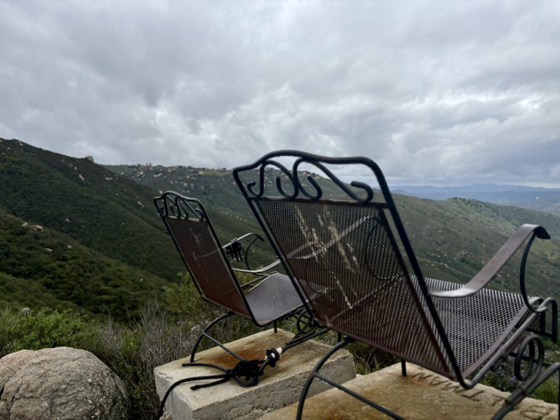
The past year has been one of some great joys: my cervical fusion fixing my neck issues, losing over 50 lbs, and co-writing a hiking book with a good friend. There has also been some sadness: getting laid off after 9 years and losing my sister to COPD. As I reflected on all that, soon the metal chairs atop that boulder came into view. I pulled myself up the rock face using the ropes (I miss the stairs) and sat, soaking in the views off to the west. Today was not really a day to sit and relax, so I carefully scrambled back down and retraced my route. My thoughts turned to the year ahead. There is a lot of uncertainty in the world, and I can control only so much. For me, spending time outside will provide the grounding I will need to navigate the road ahead. Before too long, I neared the trailhead. A couple of hikers passed me, just starting their journey up the trailhead. As I reached the car, I needed 0.01 more miles to log a perfect 4.0 track, so I took a few extra steps in the parking lot to solve that “problem”. With that, my hike was done, 4.0 miles in 1:39 and a healthy 1135 feet of gain. Now, if it weren’t Passover, I would have had some well-earned Mexican food and a beer….


Buy Me a Coffee at ko-fi.com

I am an avid peak bagger, sometimes backpacker, and former sea kayaker living in San Diego. I co-authored Urban Trails: San Diego, available now!

In 2019, I became the third person to complete the San Diego 100 Peak Challenge. Not stopping with that accomplishment, I set my sights on the harder San Diego Sierra Club 100 Peak list, which I completed in 2021. I’ve also conquered several Six-Pack of Peaks challenges (SoCal, San Diego, Central Coast, and both the Arizona-Winter and Arizona-Summer).

I look forward to exploring new summits and adventures across the Southwest. 

Backpacking at Granite Springs

As I am working on completing the 100 Peak Challenge for a second time, I needed to climb East Mesa – Peak 5178. When I did the challenge in 2019, I climbed East Mesa High Point, as Derek did not define which East Mesa to summit. He later clarified that the correct peak is East Mesa – Peak 5178. Rather than simply hiking out and bagging the peak, I opted to camp at Granite Springs Primitive Campground, which is just a short distance from the peak. I bought my overnight permit from the kiosk at the Green Valley Campground (Friday through Sunday, the kiosk is staffed), then drove the short distance to the Sweetwater parking area. I grabbed my pack and headed up the Harvey Moore Trail. The trail starts climbing right from the trailhead, so the light breeze that was blowing was welcomed. After about 0.7 miles, the grade lessened, and I kept cruising along. Oakzanita stood off to my right, and Cuyamaca and Cush-Pi (Stonewall) stood far off to my left.

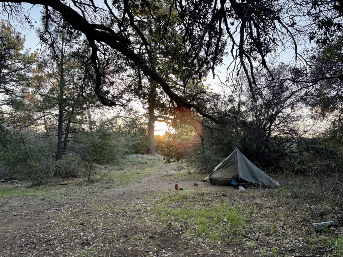
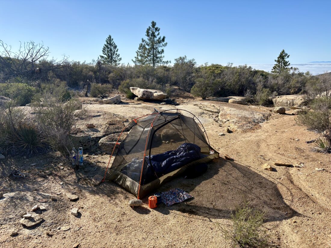
As I passed through East Mesa, I spied East Mesa – Peak 5178, and considered climbing immediately after I set up camp, but I wanted to secure my camping spot first. Soon, the water pump came into view, and I had arrived at the campground. There were three sites here, so I went down the trail past the pit toilets to view my options for the evening. I settled on site #1, under the shade of some large oaks. The other two sites looked fine, but this one also had some nice logs to sit upon and relax. I set up my tent without issue. I had wanted to try a new pillow on this trip, and accidentally brought my old one instead (I actually brought both, but did not see the one I wanted to try until the next morning!). Since it was still Passover, I could not eat a dehydrated meal, so I had packed other food for my time out there. I also decided to bring my own water and not treat the water from the pump.  The sun soon dipped behind Peak 5178, and it began to cool down. I slipped into my tent and relaxed, listening to an audiobook until I drifted off to sleep. I got up once during the evening and grabbed a few night shots before huddling back under my quilt.

Around 6, I woke and had my breakfast. That hot coffee sure hit the spot. My thermometer said it dropped to 38°F overnight. I went back down the East Mesa Fire Road for a short distance before heading cross-country toward the southern slope of Peak 5178.

Initially, the slope was covered in simple grasses and ankle-high brush, but as I worked my way up, the vegetation began to change. With about 40 feet of elevation to go to the summit, I now had to bushwhack my way through the last 100 yards or so. The brush was thick, and more than once, I would try one path, only to reach a thick wall. With a little luck (and a few drops of blood), I reached the summit. A small rock cairn denoted the peak. I could see the fog below me, which made for a unique view. Once I had taken in the view, I whacked my way through the brush and back onto the southern slope. As I cruised along the Harvey Moore Trail once again, I began descending into the fog. I stopped and slipped on my jacket before continuing. Soon, I was back in my car and ready to head home after a great overnight trip. The hike out was 3.9 miles with 979 feet of gain. The side trip up to Peak 5178 was about 300 feet of gain and took about 35 minutes. I think I will find the time to explore the other primitive campground, Arroyo Seco, before too long.


Buy Me a Coffee at ko-fi.com

I am an avid peak bagger, sometimes backpacker, and former sea kayaker living in San Diego. I co-authored Urban Trails: San Diego, available now!

In 2019, I became the third person to complete the San Diego 100 Peak Challenge. Not stopping with that accomplishment, I set my sights on the harder San Diego Sierra Club 100 Peak list, which I completed in 2021. I’ve also conquered several Six-Pack of Peaks challenges (SoCal, San Diego, Central Coast, and both the Arizona-Winter and Arizona-Summer).

I look forward to exploring new summits and adventures across the Southwest. 

Shaking on the Desert View Loop

I decided to return to William Heise County Park and hike up to Glen’s View.  I had hiked up to this replacement peak a couple of years back on one of Larry Edmond’s Hike of the Month trips. That hike explored more of the surrounding trails. This time, I was interested in just the Desert View Trail, as my foot was not quite 100%. I drove out and used the QR code to pay my $5 day use fee, then drove over to the trailhead parking that was further in the park and not the one next to the entry kiosk.

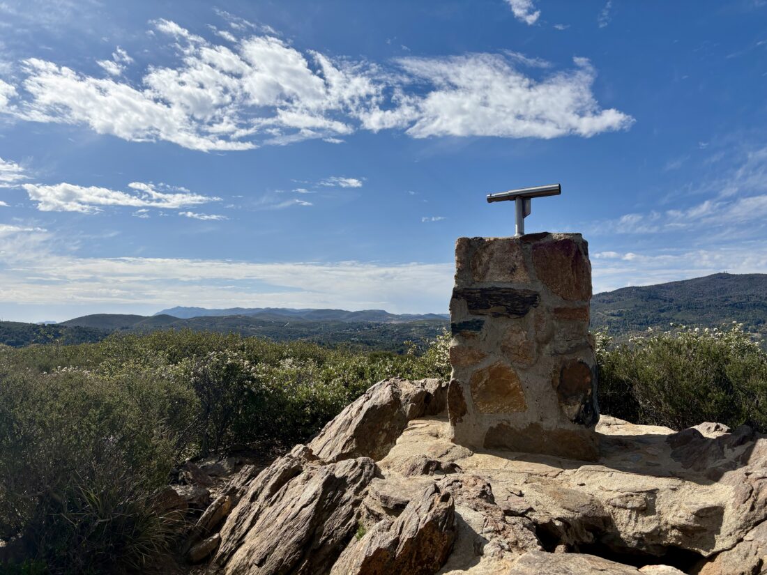
Starting on the Nature Trail, I began working my way up toward the summit. Various markers helped identify the plants and trees that line the trail. After about 0.3 miles, the Nature Trail meets up with the Desert View Trail. I turned right to enter that trail and really started my climb. With my foot being a bit off, I took my time climbing the over 400 feet of elevation to the viewpoint. The viewpoint sits off a small marked spur. There is a beautifully built monument that stands with a viewfinder mounted atop it. I took a moment to peer through it, aiming at the marked locations on its base. After enjoying the view and a refreshing drink, I began my return. This trail is a loop, so when the viewpoint spur rejoined the Desert View Trail, I continued my counter-clockwise route. This section was not quite as steep as the route up, and offered some nice views to the west. My son, who was visiting his girlfriend in Chicago, called, so I chatted with him while I continued my descent. While still on the phone with him, I heard a very loud rumble and almost immediately, the ground shook violently. I hung up with Ben and took stock of the earthquake that had just happened. I had never experienced one outside, and it was different, seeing everything moving around me. I continued back down to the car, staying aware of things around and above me, not knowing if a larger quake might be still to come. Back at the car, I discovered that the calculated epicenter was very, very close to me! I pulled up the USGS website and submitted my observations for their citizen data collection effort. A ranger drove by, and we chatted a bit before he went to inspect the restrooms for any damage. On the drive home, I did see rocks that had fallen onto the roadway at a couple of spots. 


Buy Me a Coffee at ko-fi.com

I am an avid peak bagger, sometimes backpacker, and former sea kayaker living in San Diego. I co-authored Urban Trails: San Diego, available now!

In 2019, I became the third person to complete the San Diego 100 Peak Challenge. Not stopping with that accomplishment, I set my sights on the harder San Diego Sierra Club 100 Peak list, which I completed in 2021. I’ve also conquered several Six-Pack of Peaks challenges (SoCal, San Diego, Central Coast, and both the Arizona-Winter and Arizona-Summer).

I look forward to exploring new summits and adventures across the Southwest. 

A peak in Kanaka Flats

In my effort to complete the 100 Peak Challenge a second time, I needed a few of the replacement peaks that Derek had added after I had completed the challenge in 2019. One of those peaks was Peak 4292, out on the Kanaka Flats near Santa Ysabel. I have hiked out in the Santa Ysabel East Preserve numerous times, sometimes for the San Dieguito River Foundation’s Coast to Crest Challenge and sometimes just with friends or family. The peak lies off the main trail, so I would have to purposely alter my route to climb it. After waiting to bypass some road construction, I pulled into an empty parking area. The grasses along the trail were still green, and tiny flowers dotted the grassy carpet. The actual trail had just been graded as part of a fire prevention measure, making it very easy.

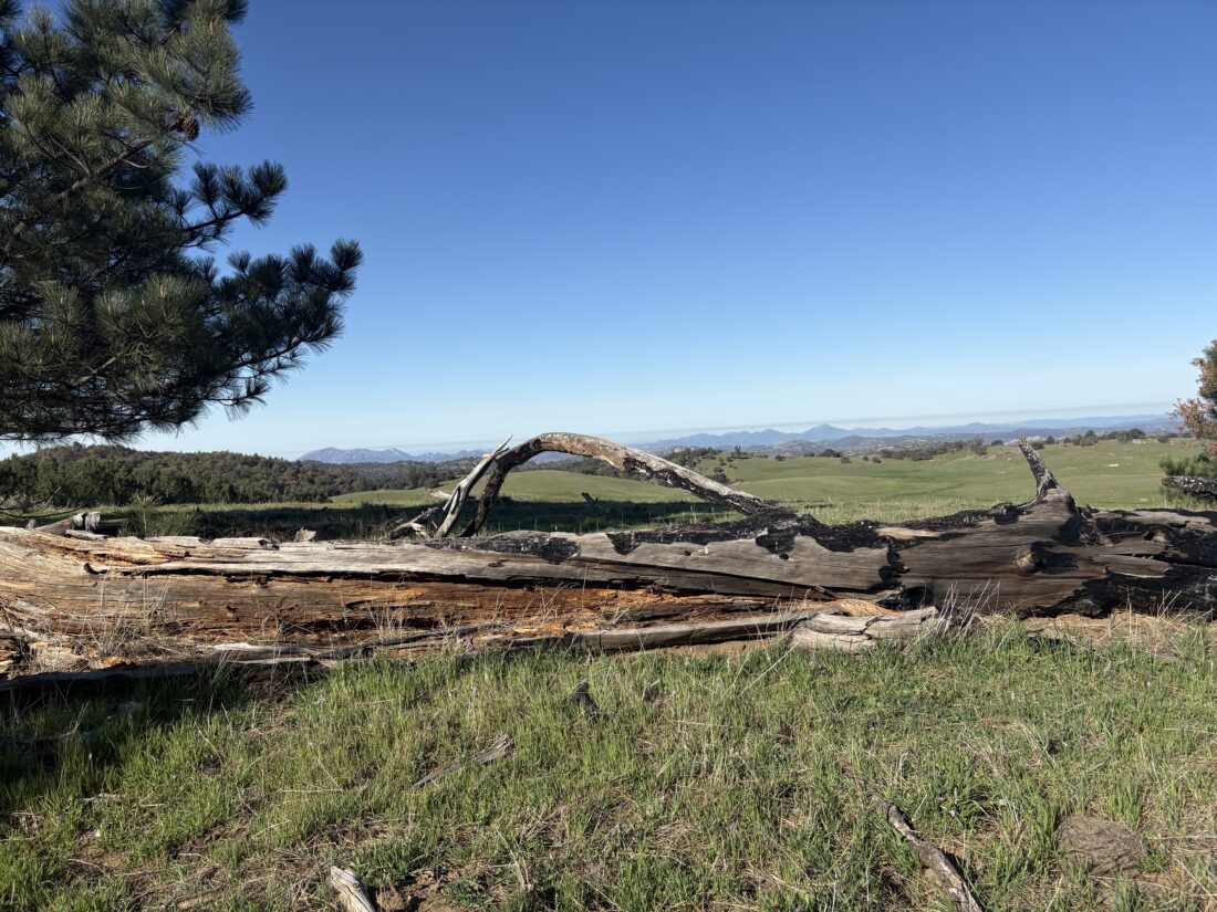
I crossed the flowing Santa Ysabel Creek and began the climb up to Kanaka Flats. At the junction of the Kanaka Flat Loop, I turned left. Shortly, I spied a cow trail that led up to the small hill that sits toward the eastern end of the flats. Following it up the slope, I then turned southward along the hill’s ridgeline to the “summit”, again trying to stay on one of the existing cow paths. Checking my location on my phone, I located the marked summit. There is no benchmark or register, just a grand view of the area.

Due to a timing error on my part, I did not have a good pre-hike breakfast, and I was getting hungry, so I retraced my route back down from the peak and onto the trail. The day was warming up, and I was glad to be heading back to the car. Once back at the car, I decided to avoid the long delays on Wynola Road due to that construction and to loop through Julian proper. By the time I got to Santa Ysabel, it was too late for a full breakfast, so I opted for a cinnamon roll from Dudley’s to quell my hunger. The entire hike was 6.26 miles, and I did it in 2:00:59. I have just 8 more peaks left to finish Derek’s list (I wonder if I will finish it a second time before he finishes…)


Buy Me a Coffee at ko-fi.com

I am an avid peak bagger, sometimes backpacker, and former sea kayaker living in San Diego. I co-authored Urban Trails: San Diego, available now!

In 2019, I became the third person to complete the San Diego 100 Peak Challenge. Not stopping with that accomplishment, I set my sights on the harder San Diego Sierra Club 100 Peak list, which I completed in 2021. I’ve also conquered several Six-Pack of Peaks challenges (SoCal, San Diego, Central Coast, and both the Arizona-Winter and Arizona-Summer).

I look forward to exploring new summits and adventures across the Southwest. 

Along the Old Coach Road…

I wanted to explore some more new-to-me trails, so one afternoon, I decided to finally hike the Old Coach Trail in Poway. I pulled into the empty staging area just north of Espola Road and set off to the north. Initially, this trail (technically “Justin’s Trail” for this section follows the road for 1/2 mile. Then, on the other side of the road is a signpost for the Old Coach Trail. My route now skirted the edge of a neighborhood, following an old dirt road along a riparian stream bed of Sycamore Creek. The Old Coach Trail served as the route for Butterfield Stage service between Poway, Escondido, and San Diego in the late 19th Century before being replaced by the coastal railroad and the rise of automobiles.

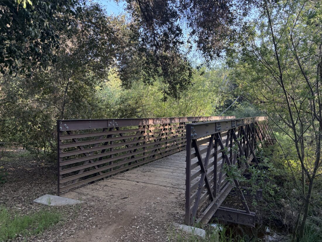
I climbed up and down, winding through another of those fine old oak groves which, according to the City of Poway, are some of the oldest in the city. After crossing a very fine bridge over Sycamore Creek, I could see the Maderas Golf Club off to the east. I even found an errant golf ball on the trail (I mean really errant!). It was now I would begin a good climb toward Heritage Drive.

The trail made a turn to the east along this road before turning northwest again onto a paved fire access road. I made my way down the steep grade, with a view of the Highland Valley before me. Once at the bottom, I passed around the border of the AQUA 2000 Research Facility, which was an experimental aquaculture water treatment facility that is currently inactive. From there, I hiked through the nursery, following the signs until I reached Old Coach Staging Area on Highland Valley Road. I grabbed a quick snack and retraced my route. Beyond one lone mountain biker, I had the trail completely to myself. Due to a miscommunication with a friend, I had to hustle the last mile and a half to make it back for a dinner engagement. With that said, this was still a great hike with 7.75 miles and a healthy 1,125 feet of gain.


Buy Me a Coffee at ko-fi.com

I am an avid peak bagger, sometimes backpacker, and former sea kayaker living in San Diego. I co-authored Urban Trails: San Diego, available now!

In 2019, I became the third person to complete the San Diego 100 Peak Challenge. Not stopping with that accomplishment, I set my sights on the harder San Diego Sierra Club 100 Peak list, which I completed in 2021. I’ve also conquered several Six-Pack of Peaks challenges (SoCal, San Diego, Central Coast, and both the Arizona-Winter and Arizona-Summer).

I look forward to exploring new summits and adventures across the Southwest. 

Looping around Van Dam Peak

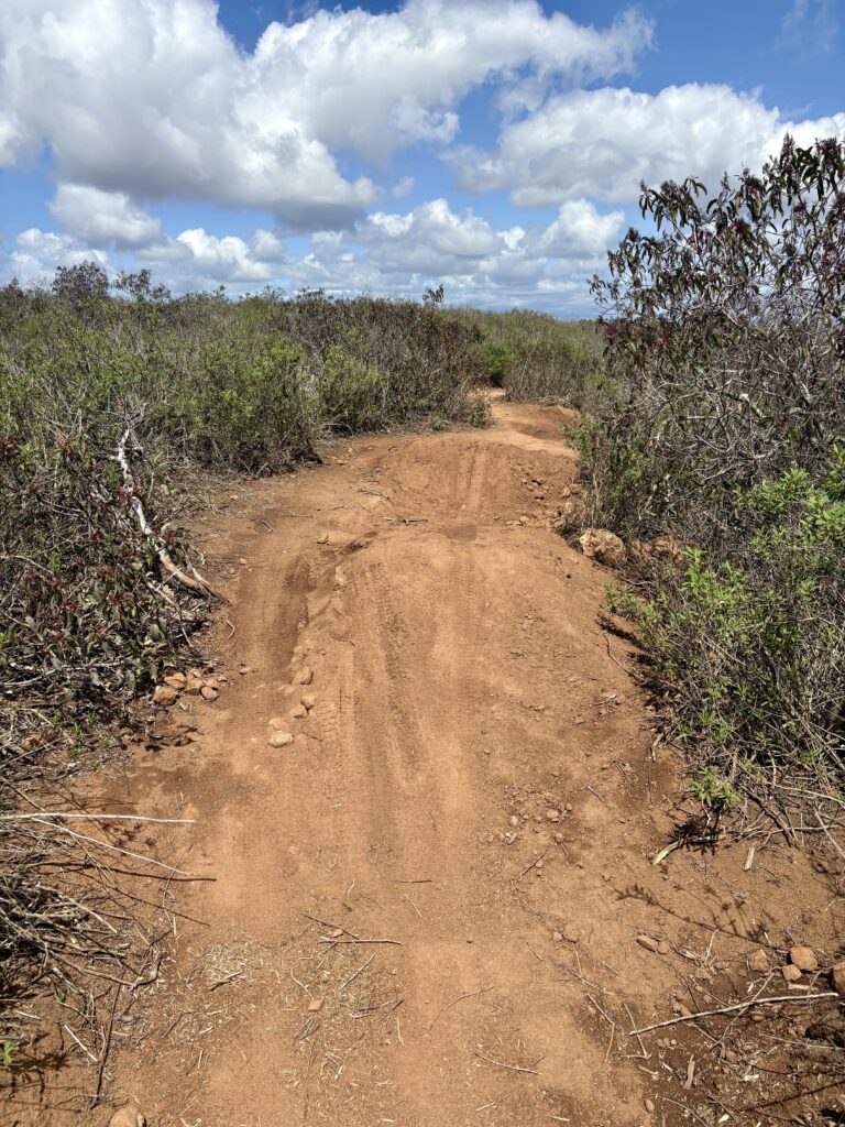
Originally, I was planning on hiking out to Eagle Crag with the Sierra Club, but the spring storm that was blowing through the area made that 18-mile hike a bit unappealing, to say the least. Maybe I will do that peak later in conjunction with Agua Tibia and camp? I wanted to get in a hike for the Oboz Trails for Trees challenge, so I decided to hike up North Van Dam Peak. Since this would be my fourth time doing this peak, I wanted to try it from the Iola Way trailhead. The trail begins from the end of a cul-de-sac. Actually, there are two trails; one leading directly west that stays low and one to the right that climbs up the south side of the peak. Under a mix of clouds and sun, I followed the right trail as it steadily climbed toward one of the minor bumps that surround the summit. Along the way, a mountain biker was making their way down the trail. This area is heavily used by mountain bikers, so one does need to be a bit more cautious while hiking these trails.

The trail turned northward and crested that minor bump. I considered bushwhacking over to Van Dam Peak, but it is North Van Dam Peak that is on Derek’s 100 Peaks list. Soon, the concrete slab came into view. I checked out the graffiti, which now has a Bluey and Bingo on it, before continuing on. 

Beyond starting a new trailhead, I was going to loop around the area and explore the eastern portion of the peak. I had created a route in OnX Backcountry and followed it as I came to the various junctions I encountered past the summit. From time to time, I would pass jumps that had been built by riders, reinforcing my need for awareness on this trail. The descent went quickly, and I soon found myself back in the neighborhood, walking along the sidewalk to my car. This was a pleasant loop that covered 3.5 miles and 724 feet of gain.


Buy Me a Coffee at ko-fi.com

I am an avid peak bagger, sometimes backpacker, and former sea kayaker living in San Diego. I co-authored Urban Trails: San Diego, available now!

In 2019, I became the third person to complete the San Diego 100 Peak Challenge. Not stopping with that accomplishment, I set my sights on the harder San Diego Sierra Club 100 Peak list, which I completed in 2021. I’ve also conquered several Six-Pack of Peaks challenges (SoCal, San Diego, Central Coast, and both the Arizona-Winter and Arizona-Summer).

I look forward to exploring new summits and adventures across the Southwest. 

Camping on Corte Madera

When I awoke and saw that it had rained overnight, I wondered what the conditions at Corte Madera might be like. I checked the forecast, and it remained as before: a high in the mid-60s, a forecasted low in the mid-40s, and a light breeze. After lunch with Rick to discuss an upcoming trip, we tossed my gear in the car and set off under still cloudy skies. I needed a wilderness permit, so I stopped at the Ranger Station in Alpine and picked one up. The Ranger had never heard of anyone camping back there, so I filled her in on the details from my last trip. With my permit in hand, I drove out to the trailhead. As I neared the Laguna Crest, the clouds stopped, and a warm sun shone down. Once at the parking area, I quickly shouldered my pack and set off. I cruised along the road to the turn-off to the Espinoza trail and began working my way up toward the Espinoza saddle. As I neared the saddle, I could see the clouds covering it. Once there, the views to the west were completely socked in. I hoped that the campsite would be above them. I turned onto the road and headed toward the next junction. Thankfully, I quickly did rise above the cloud layer, and the sun once again shone down.
I climbed up the steep trail, testing out the grip of my new shoes and enjoying their lightness with every step. Unlike last time, where I needed to stop at one of the overlooks, I felt great and pushed on. The manzanita is beginning to encroach on the trail, so long pants and long-sleeved shirts are highly recommended. Corte Madera finally came into view, sitting above a blanket of clouds below. I cruised over to the same campsite I used before. Since I was filming this trek, I set up my camera and recorded a time-lapse of setting up.

Once set up, I hiked the 0.1 miles over to the summit. After enjoying the view and reflecting on recent events, I headed back to camp. Initially, I had hoped to sleep without the rain fly, but some fog rolled in, and I reluctantly added it. I cooked my dinner as the sun sank beneath the clouds. Retreating to my tent, I listened to some podcasts for a while. The fog had retreated, and the stars shone in the moonless night sky. I spent some time taking photos, adjusting various settings on the iPhone’s camera, and taking advantage of having a tripod.

I woke before sunrise and made a cup of coffee, which I enjoyed in the tent. I headed back over to the summit to watch the actual sunrise. There was a peace in my heart and a sense of comfort as its rays spread across the vista before me. Returning back to camp, I finished packing up and headed out. The return went quickly, as a warm breakfast was waiting for me in Alpine. One of the questions I had was how much water I would consume during this overnight. I carried out 4.25 liters and only used about 2.25 liters. If I had made a proper breakfast, then I probably would have been closer to using 3 liters. I also drank a liter before leaving, so that reduced my water usage as well. With that, only two more peaks to climb to finish the 2025 San Diego Six-Pack of Peaks Challenge.


Buy Me a Coffee at ko-fi.com

I am an avid peak bagger, sometimes backpacker, and former sea kayaker living in San Diego. I co-authored Urban Trails: San Diego, available now!

In 2019, I became the third person to complete the San Diego 100 Peak Challenge. Not stopping with that accomplishment, I set my sights on the harder San Diego Sierra Club 100 Peak list, which I completed in 2021. I’ve also conquered several Six-Pack of Peaks challenges (SoCal, San Diego, Central Coast, and both the Arizona-Winter and Arizona-Summer).

I look forward to exploring new summits and adventures across the Southwest.