Trip Reports

Indian Hill

Since it was just past noon, we decided to add in one more peak. When we were out 4x4ing a few weeks back, Ted had done Piedras Grande, but we skipped Indian Hill. I drove out to the trailhead via Mortero Canyon.

As we grabbed our gear, the wind was starting to pick up. Once at the base of Indian Hill, we debated on our route. This time I decided to try it from the east side rather than from the north. The ascent was pretty straight forward and a bit easier.

We snapped a few photos, signed the register and returned via the same general route, as the wind continued to pick up.


Buy Me a Coffee at ko-fi.com

I am an avid peak bagger, sometimes backpacker, and former sea kayaker living in San Diego. I am the co-author of Urban Trails:San Diego, coming in Spring 2026!

In 2019, I became the third person to complete the San Diego 100 Peak Challenge. Not stopping with that accomplishment, I set my sights on the harder San Diego Sierra Club 100 Peak list, which I completed in 2021. In addition, I have conquered several Six-Pack of Peaks challenges (SoCal, San Diego, Central Coast, and both the Arizona-Winter and Arizona-Summer). I am looking forward to exploring new summits and new adventures across the southwest. 

Mine Peak

After summiting Red Hill, Ted and I then hopped back into the car and drove the few minutes to the Mine Peak trailhead. We picked up the use trail along the ridge and soon found ourselves at the summit.

This peak has some great views of southern Anza-Borrego! Back at the mine buildings, we chatted for a bit with a couple out riding their motorcycles.


Buy Me a Coffee at ko-fi.com

I am an avid peak bagger, sometimes backpacker, and former sea kayaker living in San Diego. I am the co-author of Urban Trails:San Diego, coming in Spring 2026!

In 2019, I became the third person to complete the San Diego 100 Peak Challenge. Not stopping with that accomplishment, I set my sights on the harder San Diego Sierra Club 100 Peak list, which I completed in 2021. In addition, I have conquered several Six-Pack of Peaks challenges (SoCal, San Diego, Central Coast, and both the Arizona-Winter and Arizona-Summer). I am looking forward to exploring new summits and new adventures across the southwest. 

Red Hill

I wanted to get some hiking in during the brief break in the weather, so on Sunday Ted Markus and I headed out toward Anza Borrego. Our first two options seemed like weather might still be a factor, so we went for our third choice to hit some of the peaks Ted needed to summit for the 100 Peak Challenge.

First up was Red Hill.

We took the ridge route I had used twice before up to the summit. After signing the register at the summit, we opted to drop into the wash to the north and follow it out. It was a great choice! 


Buy Me a Coffee at ko-fi.com

I am an avid peak bagger, sometimes backpacker, and former sea kayaker living in San Diego. I am the co-author of Urban Trails:San Diego, coming in Spring 2026!

In 2019, I became the third person to complete the San Diego 100 Peak Challenge. Not stopping with that accomplishment, I set my sights on the harder San Diego Sierra Club 100 Peak list, which I completed in 2021. In addition, I have conquered several Six-Pack of Peaks challenges (SoCal, San Diego, Central Coast, and both the Arizona-Winter and Arizona-Summer). I am looking forward to exploring new summits and new adventures across the southwest. 

Los Penasquitos

Like Black Mountain, this trail is almost in my backyard. While I have hiked it numerous times, I respected the rules of the San Diego County Parks’ Tour Our Trails Challenge and hiked it again. I really did not feel like taking many photos beyond the required one at the waterfall. I will say, if you have never hiked it, please do so.


Buy Me a Coffee at ko-fi.com

I am an avid peak bagger, sometimes backpacker, and former sea kayaker living in San Diego. I am the co-author of Urban Trails:San Diego, coming in Spring 2026!

In 2019, I became the third person to complete the San Diego 100 Peak Challenge. Not stopping with that accomplishment, I set my sights on the harder San Diego Sierra Club 100 Peak list, which I completed in 2021. In addition, I have conquered several Six-Pack of Peaks challenges (SoCal, San Diego, Central Coast, and both the Arizona-Winter and Arizona-Summer). I am looking forward to exploring new summits and new adventures across the southwest. 

Boden Canyon

Decided to complete the 2020-2021 Coast to Crest Challenge today. The final hike I needed to do was  a flat-ish 6.6 mile hike that starts in the Pamo Valley, then follows the San Dieguito River through Boden Canyon. I pulled into the same parking lot that you would use if hiking Pamo Valley, just before 9am, but instead of heading north, I set off to the west. 

I knew this hike would be another good test of my knee, as it had some minor elevation gains, but also a nice amount of distance as well. The hike began with a gentle and short climb before leveling out for a while. I cruised along the wide trail as it weaved its way along the south side of the canyon. I was surprised at the beauty along much of this trail. Boden Canyon is certainly a hidden gem of a hike. My only regret was not doing it when the river might be flowing to add to the experience.

After about 3.3 miles, I reached the junction with the Orosco Truck Trail and the start of Clevenger Canyon. This was the designated “selfie spot”. The trail continued westward for a short distance before reaching Highway 78. In fact, there was a small trailhead there as well.  I took my photo and began retracing my route. I encountered several groups of hikers and mountain bikers as I made my way back to the trailhead. When I got back to the car, the lot was mostly full. I have really enjoyed this year’s Coast to Crest Challenge. 


Buy Me a Coffee at ko-fi.com

I am an avid peak bagger, sometimes backpacker, and former sea kayaker living in San Diego. I am the co-author of Urban Trails:San Diego, coming in Spring 2026!

In 2019, I became the third person to complete the San Diego 100 Peak Challenge. Not stopping with that accomplishment, I set my sights on the harder San Diego Sierra Club 100 Peak list, which I completed in 2021. In addition, I have conquered several Six-Pack of Peaks challenges (SoCal, San Diego, Central Coast, and both the Arizona-Winter and Arizona-Summer). I am looking forward to exploring new summits and new adventures across the southwest. 

Sweetwater Summit Regional Park

Recently, the County of San Diego’s Parks and Recreation department created a Tour Our Trails challenge. They even printed “passport” books to log your hikes. Since I have been focused on two other challenges (San Diego Sierra Club 100 Peaks and the 2020-2021 Coast to Crest Challenge), I had not started on these hikes. The 15 hikes are grouped into three categories; easy, moderate, and hard. I needed to pick up something from a fellow hiker who lives in the South Bay, so I decided to do a quick stroll through part of the Sweetwater Summit Regional Park. 

Each hike has a designated photo opp, and for this hike it was Morrison Pond. I pulled into the parking lot and grabbed my gear. Just then, four horseback riders were just returning from their ride. I set off along the trail to explore the park a bit before viewing the pond. I easily crossed the trickle of water that is the Sweetwater river and headed east for a while. Once I reached the junction with another trail, I headed back toward the pond. 

Along the way, I passed a couple of families enjoying the trails. This is a great place to bring your little ones, as the trail is nice and flat. I circled around the pond, enjoying the view for a bit. I then returned to the car and finished my errand. I am looking forward to the other 14 hikes, especially the ones I have never done.


Buy Me a Coffee at ko-fi.com

I am an avid peak bagger, sometimes backpacker, and former sea kayaker living in San Diego. I am the co-author of Urban Trails:San Diego, coming in Spring 2026!

In 2019, I became the third person to complete the San Diego 100 Peak Challenge. Not stopping with that accomplishment, I set my sights on the harder San Diego Sierra Club 100 Peak list, which I completed in 2021. In addition, I have conquered several Six-Pack of Peaks challenges (SoCal, San Diego, Central Coast, and both the Arizona-Winter and Arizona-Summer). I am looking forward to exploring new summits and new adventures across the southwest. 

Torrey Pines State Park Extension

Ever since March, I have been exploring some of my local peaks. One peak, Torrey Pines State Park High Point (that’s a mouthful), has been on my list for a while. This ‘peak’ sits within the extension to the state park, and had been closed for some time due to Covid-19. The extension has several trailheads to start from, but I opted for the trailhead closest to the high point near the school, & set off along the Red Ridge Trail. It passes by several multi-million dollar homes before entering the state park. The trail was nice and flat, and as I made my way to the end, a few Torrey pines lined the trail. According to Peakbagger, the actual high point was located in a section that was beyond the roped off area. Close enough for me. The view from the end of this little trail was lovely. I had a sweeping view of the lagoon and Torrey Pines SP.

With the knee feeling good, I set off toward the D.A.R. viewpoint. I followed the trail down into the gully, then turned up to go back up another trail to climb up to the viewpoint. The sun was setting over the Pacific Ocean. While I could have done something closer to my house, I wanted to enjoy the sunset over the water. 

I then began working my way back to the car, and decided to take an alternate route back. I wanted to take the Gully Trail, but I discovered it was closed. I debated returning the same way I had come, or loop back through the streets. Since I was close to the streets, I decided to take that route. As I returned to my car, the trailhead was filled with cars, some were probably folks I passed along the trails, but others were just sitting there enjoying a spectacular view. 


Buy Me a Coffee at ko-fi.com

I am an avid peak bagger, sometimes backpacker, and former sea kayaker living in San Diego. I am the co-author of Urban Trails:San Diego, coming in Spring 2026!

In 2019, I became the third person to complete the San Diego 100 Peak Challenge. Not stopping with that accomplishment, I set my sights on the harder San Diego Sierra Club 100 Peak list, which I completed in 2021. In addition, I have conquered several Six-Pack of Peaks challenges (SoCal, San Diego, Central Coast, and both the Arizona-Winter and Arizona-Summer). I am looking forward to exploring new summits and new adventures across the southwest. 

Palms & Elder Benchmarks

Sometimes just getting to the trailhead can be the first part of the challenge. Palms and Elder Benchmark sit to the west of Collins Valley, near Sheep Canyon. To get to the trailhead you need a true 4×4 vehicle and my Subaru Outback was not going to cut it. Two weeks ago during the hike out to Gasp Benchmark, I got to chatting with Greg Gerlach. He indicated that he would be up for climbing those peaks again. For those not immersed in peakbagging, Greg can be considered as truly one of the experts. In fact, he has almost finished the San Diego Sierra Club 3 times!

We set off to rendezvous with Greg in Borrego Springs at 7 am. Just as we began our descent toward the desert, the sun began to spread its glow across the sky. We pulled off a few times to let Ted capture it. After a quick bio-break at Hellhole Canyon trailhead, we pulled into the parking lot behind the taco shop. Greg arrived soon thereafter, and we quickly tossed our gear into his car as set off. We had almost another hour of off-road driving before we could start our hike. The road was fine, with the first two crossings bone-dry, as expected. The third crossing did have some water. As we bounced our way up “boulder alley”, it was clear that my trusty Outback would have met her match.

Palms (right) and Elder (left)

Parking near where we had before when the three of us climbed Squaretop back in late 2019, our gaze turned toward the steep rocky slope that we needed to ascend. These peaks are not really hikes, but more sustained climbing and bouldering. We scouted a basic line we wanted to follow and began our ascent.

For this section, the rocks were manageable and we did not encounter too many issues as we slowly worked our way up. We kept a steady but measured pace. As Greg put it, these two peaks are the 3rd and 4th hardest on the list. Soon we reached the first saddle and took a short break. From here we would work our way along the northern slope for a bit before picking our way through a more boulder-filled gully. Our effort was not so much measured in miles but in time.

Soon, we were ready to make the ascent up toward Palms Benchmark. Thankfully, we had encountered very few cacti along the way. One less hazard to worry about! The rocky slope soon started to become more sandy, letting us know that we had almost reached the summit. Once at the summit, the three of us set out to find the register and the benchmark. We did locate the register, and happily signed our names into it. But other than the remains of the survey post, we did not locate an actual mark. No matter, the views were sweeping. Off to the southwest, Squaretop. Directly to the west, Collins rose impressively. I am glad we did that peak from the other side, as coming up from the desert floor would have been a tough climb. Off to our north was our next peak, Elder Benchmark. After a bit of a rest, and peanut butter and jelly sandwich, we set off back down toward a small plateau that sits between Palms and Elder.

Looking back at Palms Benchmark

Once at the base of Elder, we again scouted our route. Elder’s slope is strewn with large boulders, making the ascent a tougher challenge. Add to that it is also higher than Palms Benchmark. We checked our elapsed time and felt that we should be ok. Our main goal was to be on the desert floor before we lost the light, so up we climbed. There were some tougher sections along this ascent, as the terrain was certainly tougher. Greg would have to scout ahead a few times to make sure we were not going to encounter elements beyond our comfort levels. We did have one section that took some care to cross. I took a narrow ledge for my route, while Ted opted to push up a steep sandy portion. Finally, we crested the ridge and climbed over a small false summit before reaching the actual summit.

We found the register and the mark with no trouble. We snapped a few photos, and took a short break, being mindful of the tough descent that still lay ahead of us. We made our way back down to the plateau without the drama we had upon the ascent. We made our way to the top of the gully and scouted our general path. This gully is filled with some car-sized rocks, so we knew we had our work cut out for us. I stored my pole in my pack, and we began our scramble down. The shadows were starting to creep across the valley floor as we stuck to the left side of the gully to avoid what we could.

About halfway down, the boulders became smaller in size and I broke out my poles. As we neared the desert floor, we passed by a rock that had a piece knocked off it. The colors were amazing. Once on the desert floor, we quickly cruised back to the car under the fading sunlight and the slight glow from the sliver of a moon. Once back in the car, we carefully headed back toward Borrego Springs. All told we spent just over 9 hours “hiking”, and according to my tracker covering 5.09 miles with 2,800 feet of gain. Ted’s GPS watch logged us at 6.39 miles. Go figure. In the end, my 94th and 95th peaks were now completed.


Buy Me a Coffee at ko-fi.com

I am an avid peak bagger, sometimes backpacker, and former sea kayaker living in San Diego. I am the co-author of Urban Trails:San Diego, coming in Spring 2026!

In 2019, I became the third person to complete the San Diego 100 Peak Challenge. Not stopping with that accomplishment, I set my sights on the harder San Diego Sierra Club 100 Peak list, which I completed in 2021. In addition, I have conquered several Six-Pack of Peaks challenges (SoCal, San Diego, Central Coast, and both the Arizona-Winter and Arizona-Summer). I am looking forward to exploring new summits and new adventures across the southwest. 

Gasp Benchmark

Today’s summit was going to be a special one. Gasp Benchmark was Susie Kara’s 100th peak on the San Diego Sierra Club 100 list. To honor this accomplishment, she invited a group of fellow peak baggers to join her on the 6 or so-mile hike to the summit. This peak sits to the east of McCain Valley and is one of those ‘fun’ inverted hikes. Since the distance and terrain were not too difficult, we agreed to meet at the trailhead at 9:15. As Ted and I pulled off the 8 toward Boulevard, we realized that we were quite early. So, I decided to drive all the way to the trailhead and not wait at our initial rally point. That way we would know the condition of the dirt roads. We knew the first section, the one you would use to head to Mt. Tule took some care to drive on, but the ½ mile road to our starting point was an unknown. As we reached the junction with the other road, a familiar friend was just locking up his bike and about to set off to Mt. Tule and the peaks beyond. Ted needed Mt. Tule, so I said since there was plenty of time before we needed to sync up, he should grab Mt. Tule. If he wanted to continue on with our other friend, he could feel free, or he could hustle back and catch us. Ted grabbed his pack and set off, and I drove on down to the trailhead. The road was actually in slightly better shape than expected. I found a parking spot and hung out, enjoying the views.

Soon the rest of the group arrived: Greg Gerlach, Kelly Laxamana, Larry Edmonds and his wife Leslie, Matt Hanan, Gail Welch, Susie’s dad Larry, and of course the guest of honor, Susie. We quickly started to gear up. Since we had cell coverage, I pinged Ted as to his plan, and he said he was going for the loop: Mt. Tule – Rozzie – Groan – Gasp. I wished him luck, and the rest of us set off down the jeep road toward Gasp.

We spread out to hike in a properly socially distant manner. As we worked our way toward Redondo Spring, we chatted about various peakbagging adventures. The conversation soon turned to my remaining peaks. Greg, Matt, and Larry each offered insights on summiting them. We passed through a protected area that was created to offset the impact of the wind turbines that now dot McCain Valley. Soon the road came to an end along the ridge that we would follow down to Gasp Benchmark. On the way, we spotted a fox running through the bushes. I don’t think I have ever seen one in the wild.

A use trail would take us most of the way along the rocky ridgeline. Atop one of the minor bumps, we looked to the east, hoping the higher and closer bump in the distance was Gasp Benchmark. Checking our map, we were confident that it was. Across the canyon, the Impossible Railroad’s track and the famous Goat Canyon Trestle were easily visible. 

The terrain spread us out a bit more and we picked our way along the ridge, but soon we found ourselves atop Gasp Benchmark. We scoured around to see if we could find the actual mark, but just some wooden stakes and barbed wire were all that remained. We found the register and let Susie have it first. She had done it! It took a bit longer than she wanted due to Covid-19, but she had reached another major hiking milestone. Her dad had made a beautiful sign that she had tied to the back of her pack. Her smile beamed as she held it high, with the vastness of Anza-Borrego behind her. Since Greg and Larry are also 100ers, we had them also pose for photos. We kept scanning to the east, just in case we spotted our two friends on their loop, but had no success. It was time to head back, as there were pies waiting for us back at the trailhead. When Susie completed the 100 Peak Challenge, she brought a cherry pie in a Pyrex dish to the summit to celebrate. This time we had mini-pies from Betty’s Pie Saloon for each of us.

Back along the ridge we went. Just to the north, we would see Peak 3339 and Al Holden, and off in the distance, Sombrero Peak. Susie’s dad was having a bit of trouble making his way back up the ridge, so I stayed with him as we made the climb. I had to wait for Ted to complete the loop, so I was in no rush at all. I knew exactly how he felt after last weekend when I had trouble ascending from Knob Benchmark, and I was glad to be able to return the favor. We chatted off and on, depending on the terrain, but mostly just kept slowly making our way back up. Just after I let him know we were just about .2 miles away, we spotted the cars up along the road. Mission accomplished!

I dropped my gear at the car and grabbed my chair, my lunch, and a nice IPA from Second Chance Brewery. I ate my sandwich, then dove into a wonderful apple pie. Greg and Kelly had already left, as they had a bit of a drive home. We chatted a bit, wondering how our two other friends were doing on their hike. Not some twenty minutes later, they turned the corner. We were shocked and amazed. I was expecting another hour or so before I would see them. Ted looked beat. He said it was a monster of a hike. But that is his tale to tell. After some more relaxing, it was time to pack up and head home. For me, that was my 93rd peak toward the Sierra Club 100. 


Buy Me a Coffee at ko-fi.com

I am an avid peak bagger, sometimes backpacker, and former sea kayaker living in San Diego. I am the co-author of Urban Trails:San Diego, coming in Spring 2026!

In 2019, I became the third person to complete the San Diego 100 Peak Challenge. Not stopping with that accomplishment, I set my sights on the harder San Diego Sierra Club 100 Peak list, which I completed in 2021. In addition, I have conquered several Six-Pack of Peaks challenges (SoCal, San Diego, Central Coast, and both the Arizona-Winter and Arizona-Summer). I am looking forward to exploring new summits and new adventures across the southwest. 

Collins & Knob Benchmarks

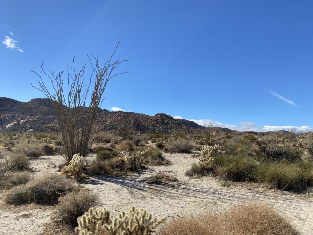
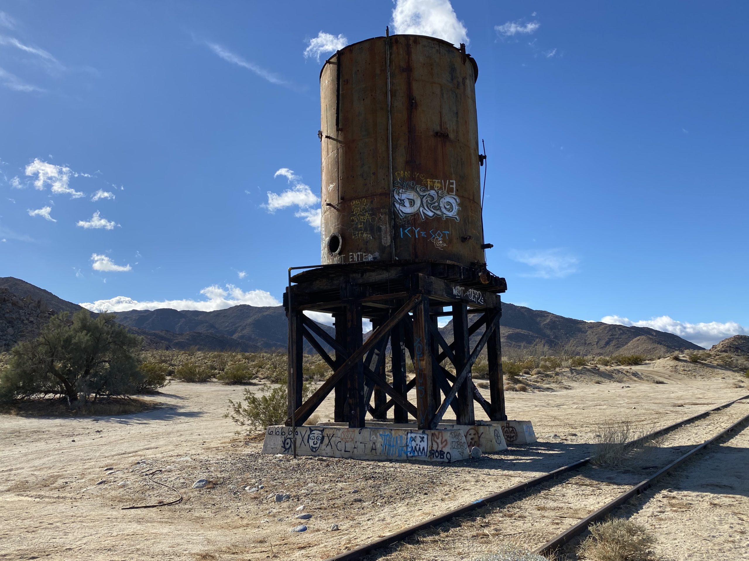
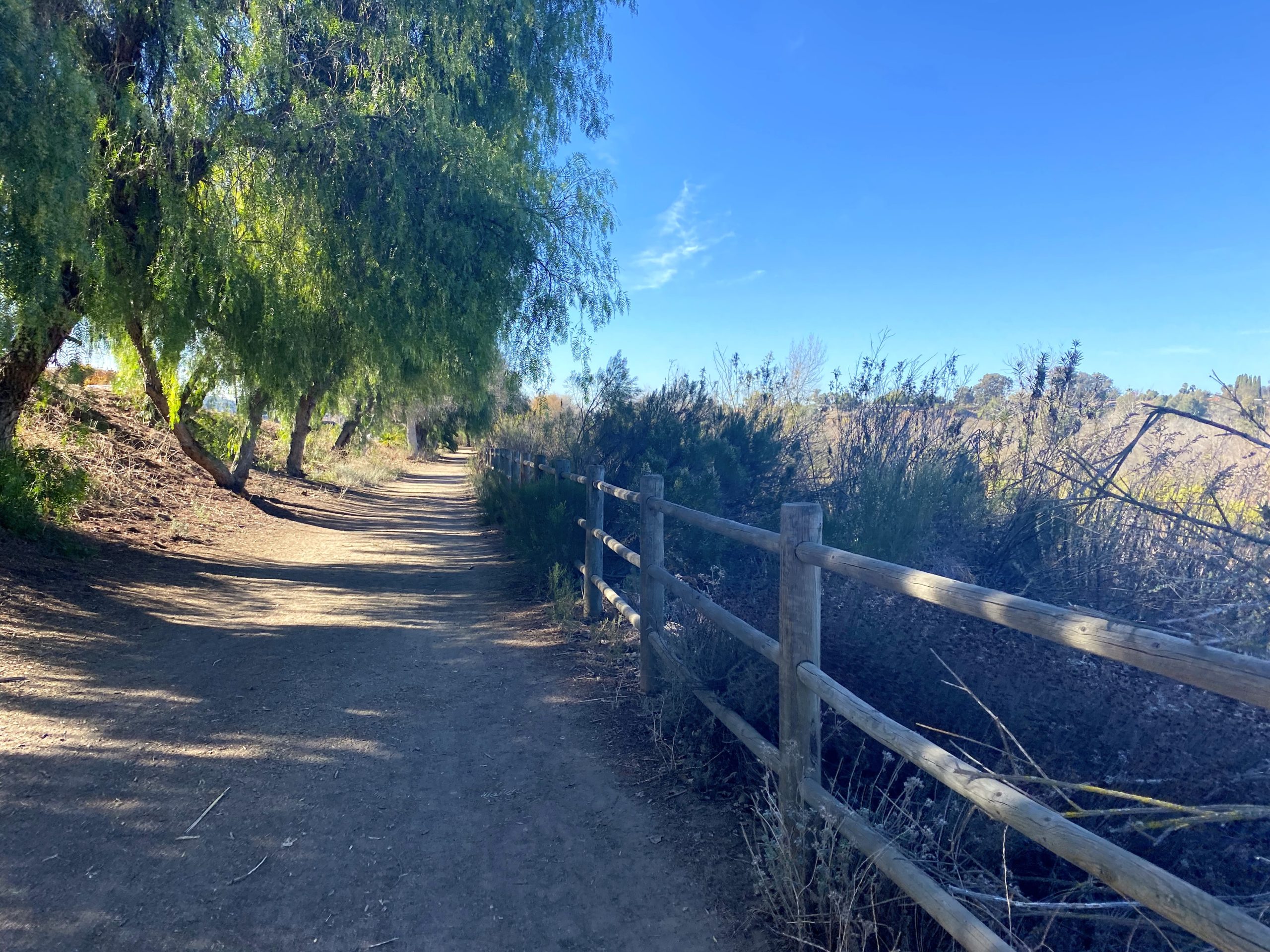
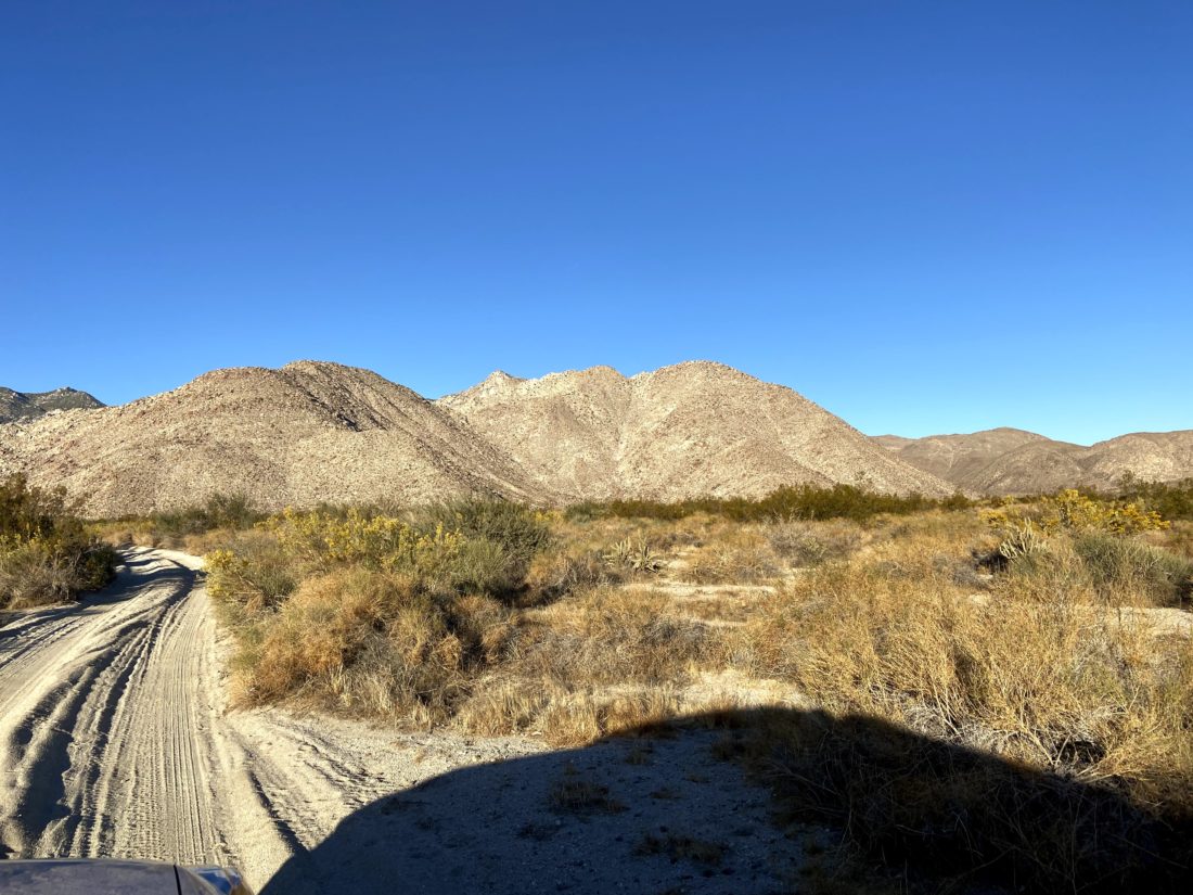
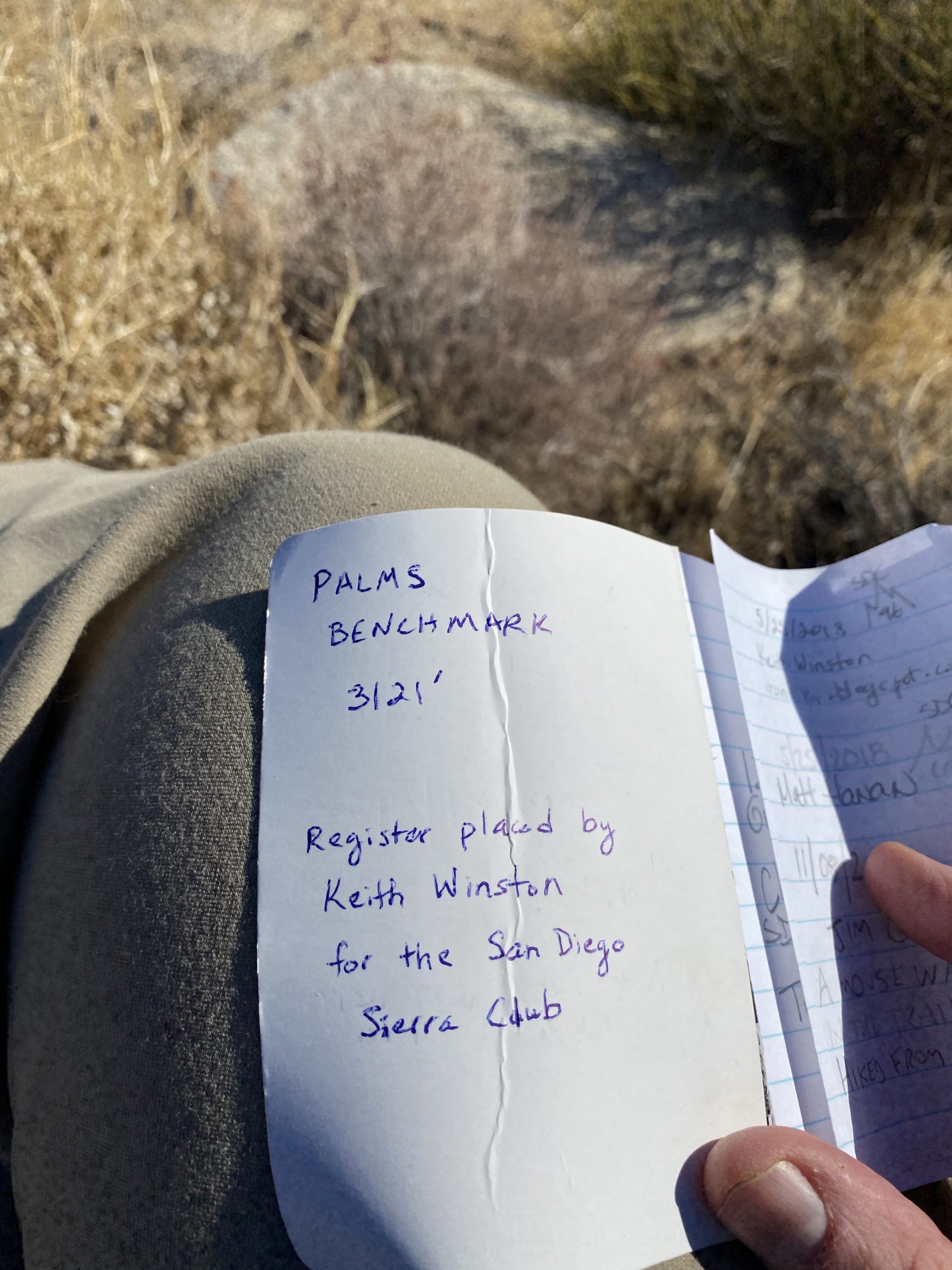
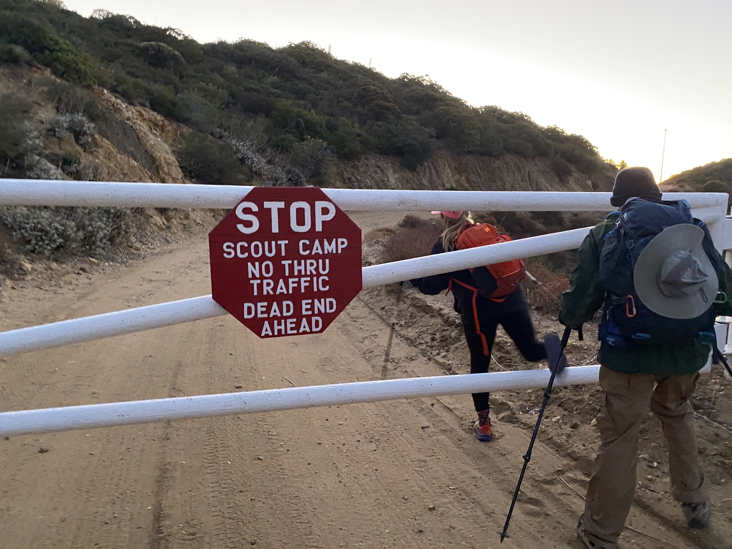
Back in March of this year, just before the Covid-19 lockdown started, Susie, Matt, Ted and I set out to summit Collins and Knob Benchmarks. Unfortunately, we encountered a closed gate and opted not to continue to our planned starting spot. Instead, we decided to hike up Palomar. By the time we all felt safe enough to hike together again, the desert hiking season had ended. So, we waited for the start of the next desert hiking season. In doing our research on these peaks, there are two general routes to them; one that passes through the Schoepe Scout Reservation from Lost Valley and one that approaches from the desert floor via Salvador Canyon. Since Susie only needed 3 more peaks to complete her San Diego Sierra Club 100, she was very motivated to climb these. Matt had actually climbed both of them back in May by himself. One thing we did learn was that we would need permission from the Boy Scouts to access the route we were planning to use. With luck, Matt had developed a relationship with the Lead Ranger for the camp and was able to secure access for us. This route does cross their private property, so if you are considering attempting it from this direction, please seek permission first.

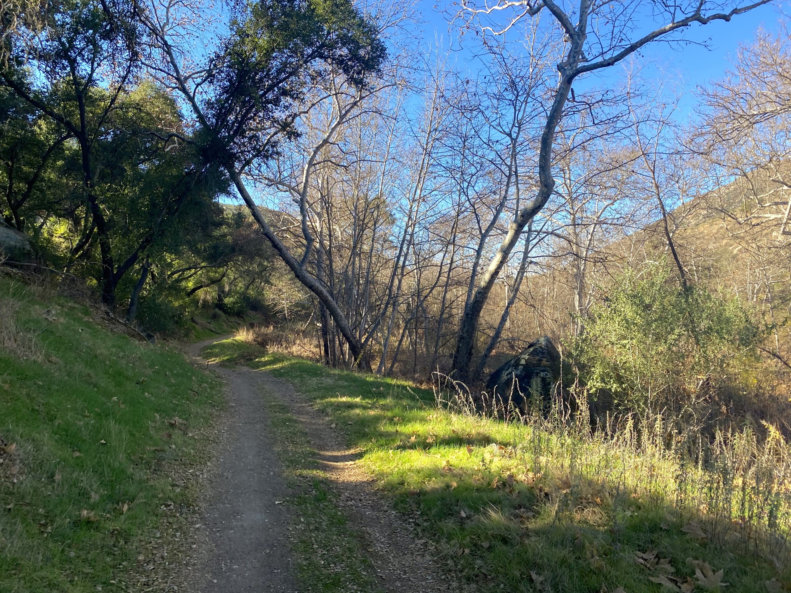
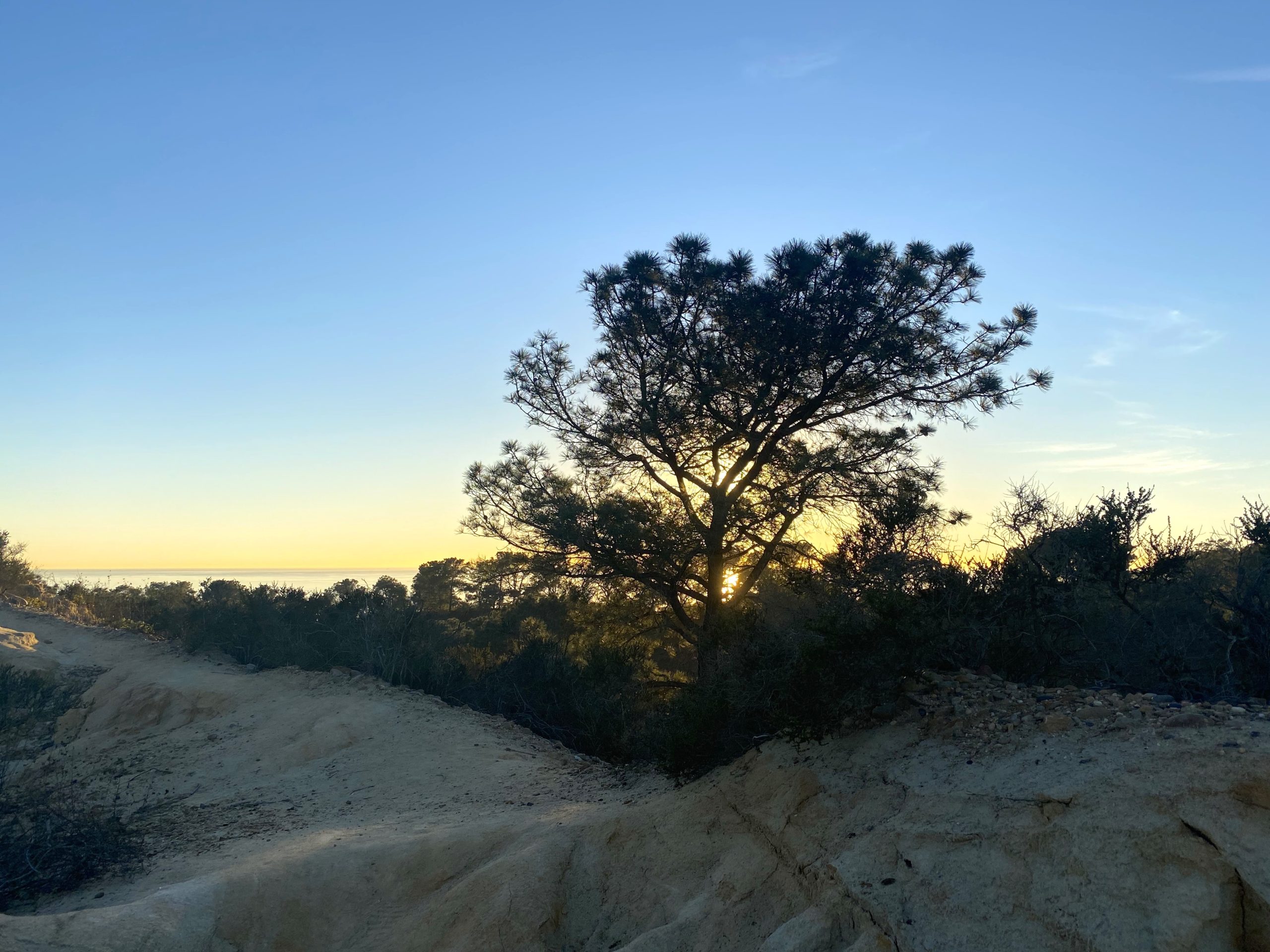
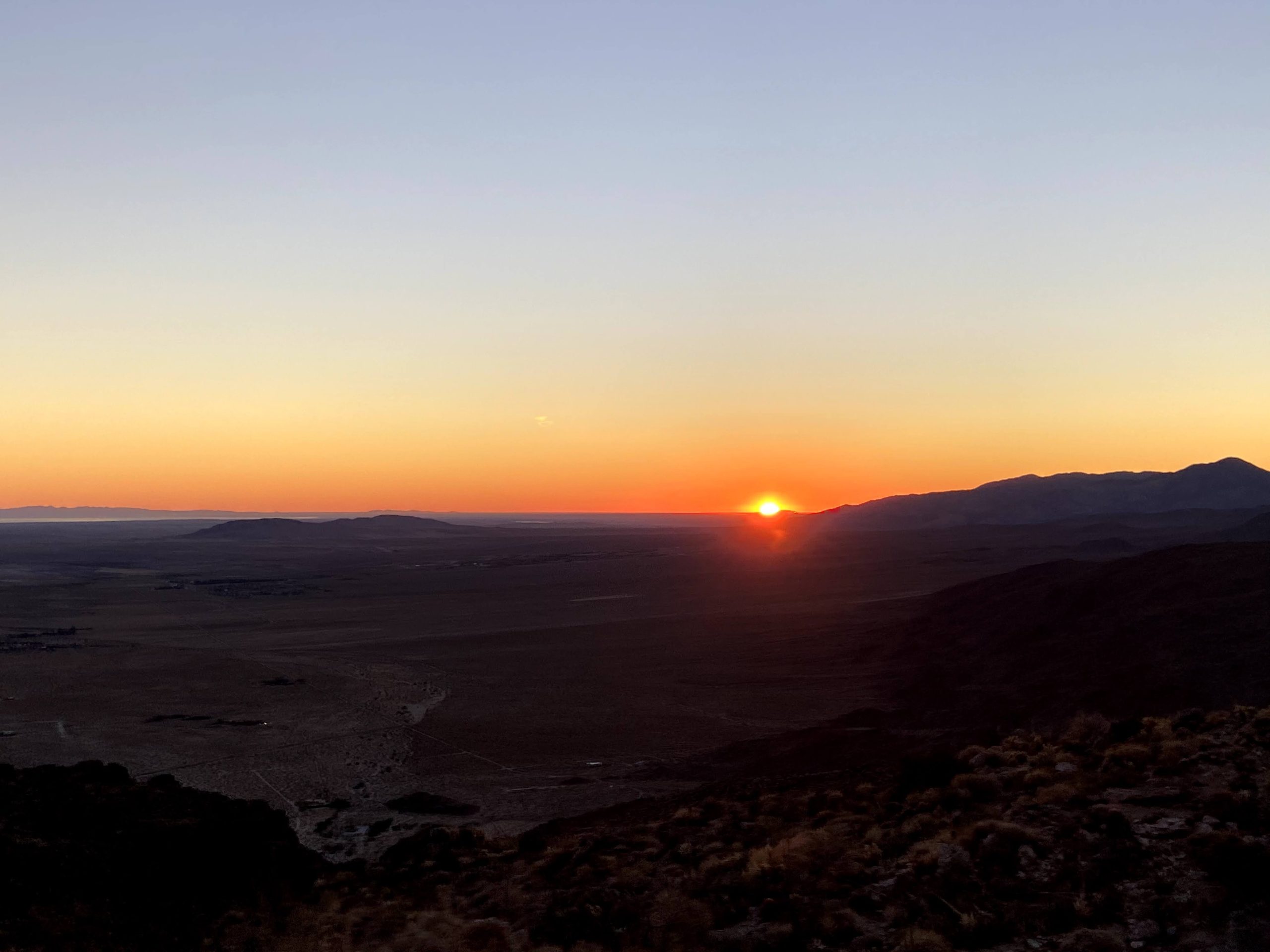
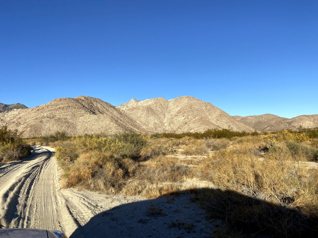
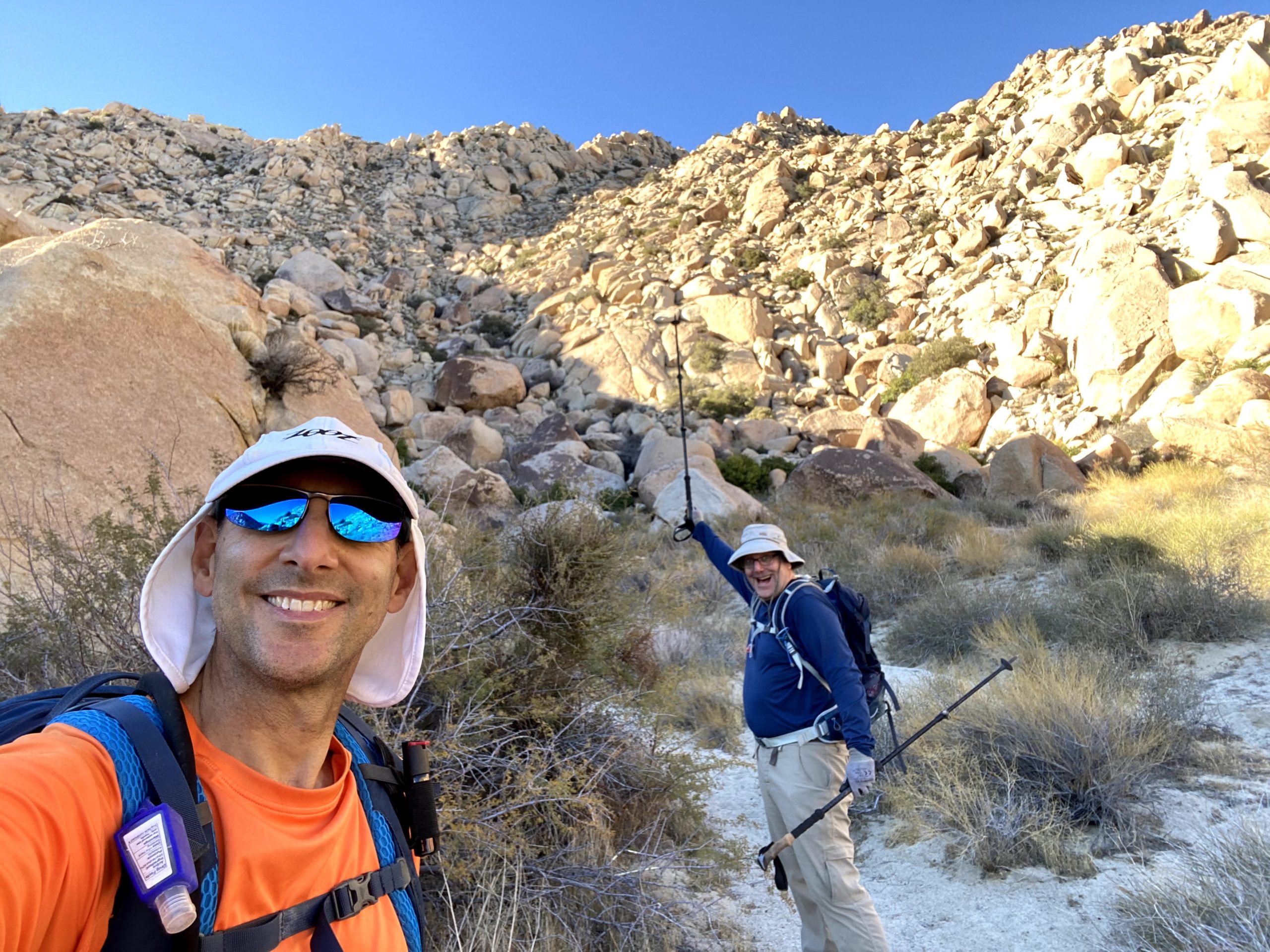
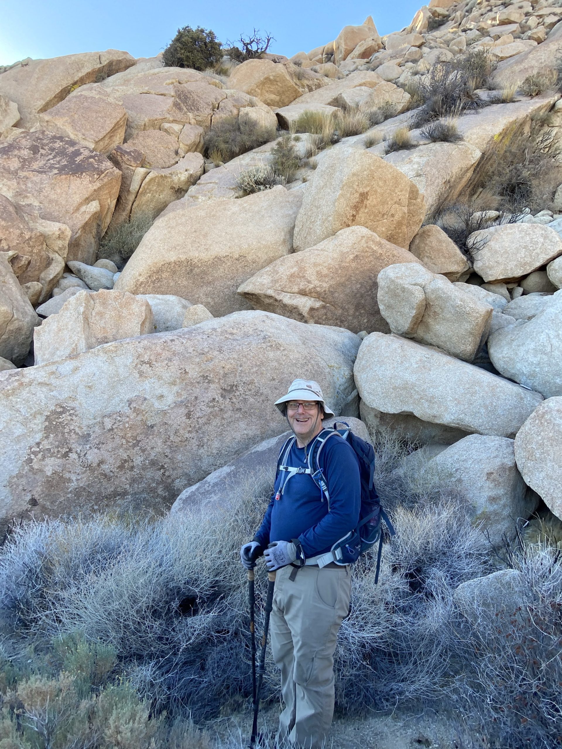
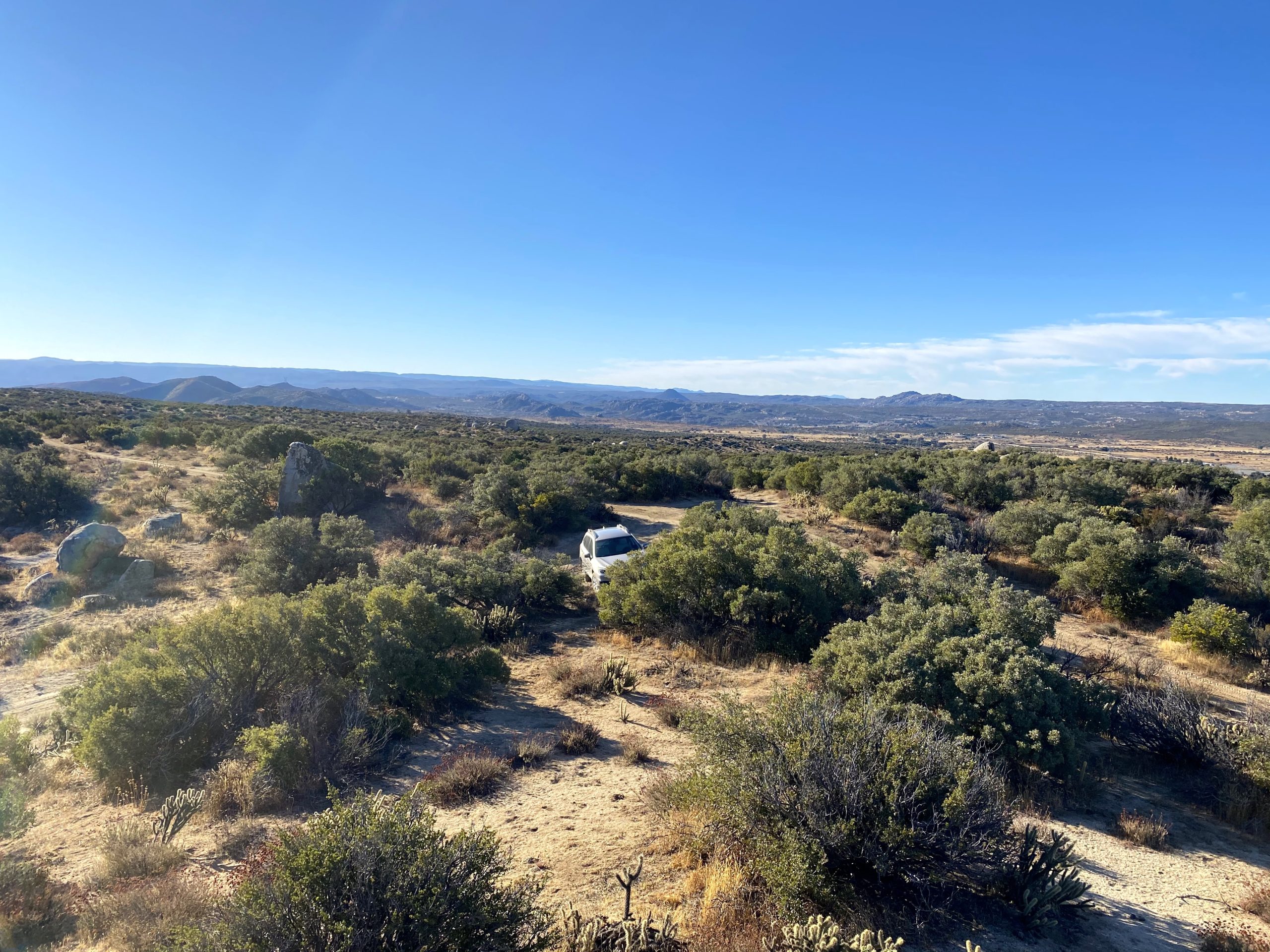
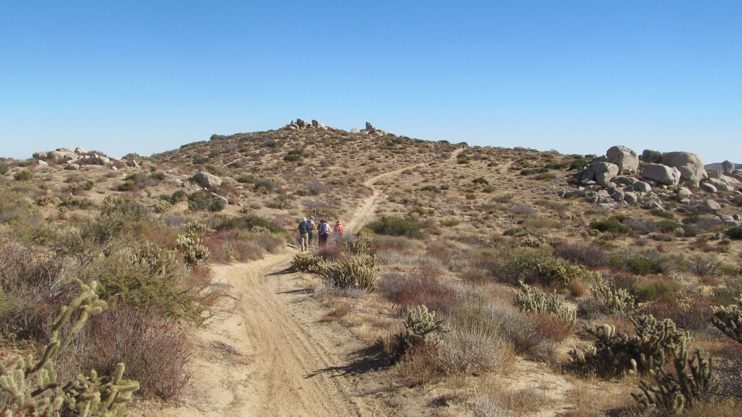
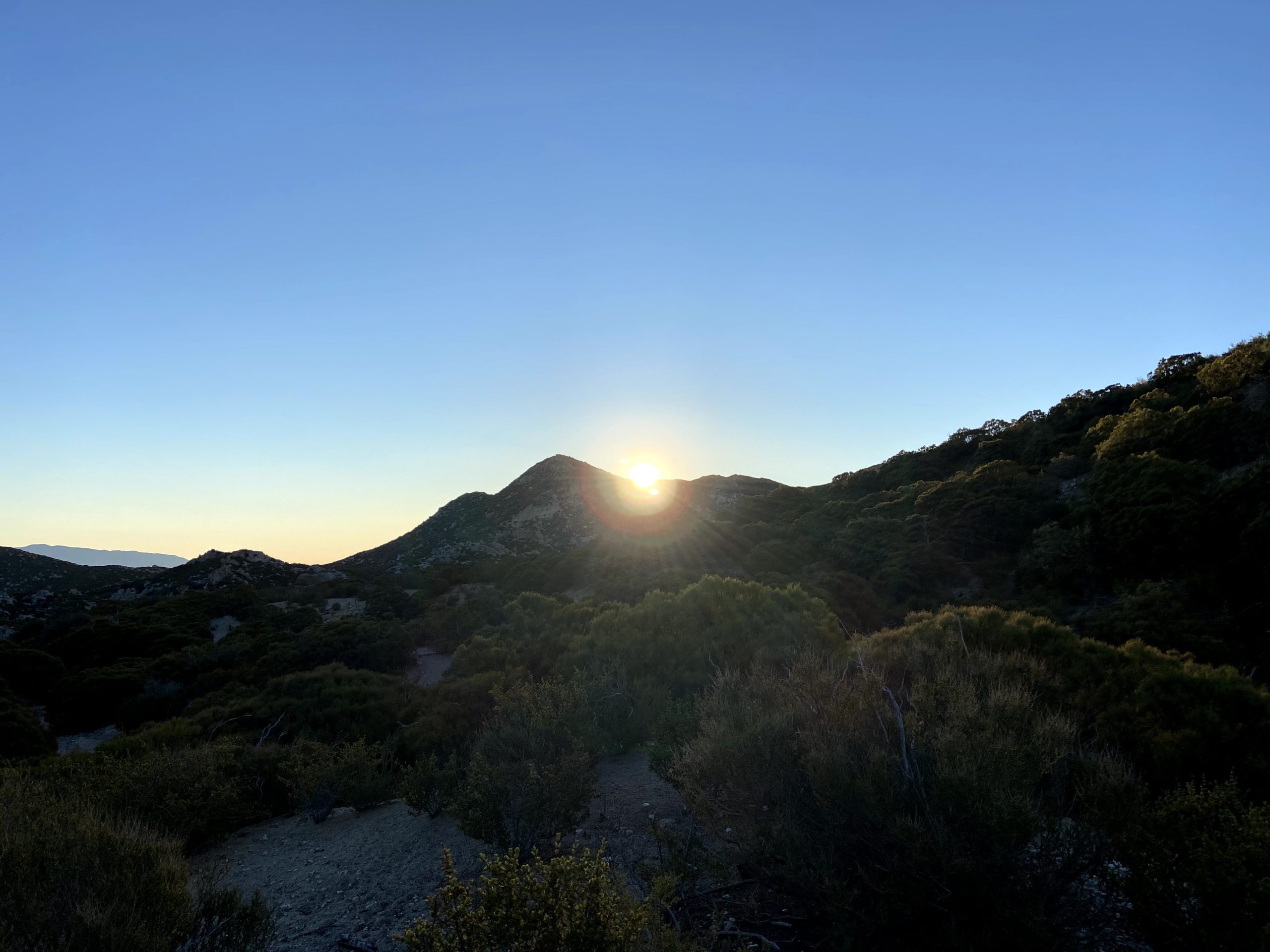
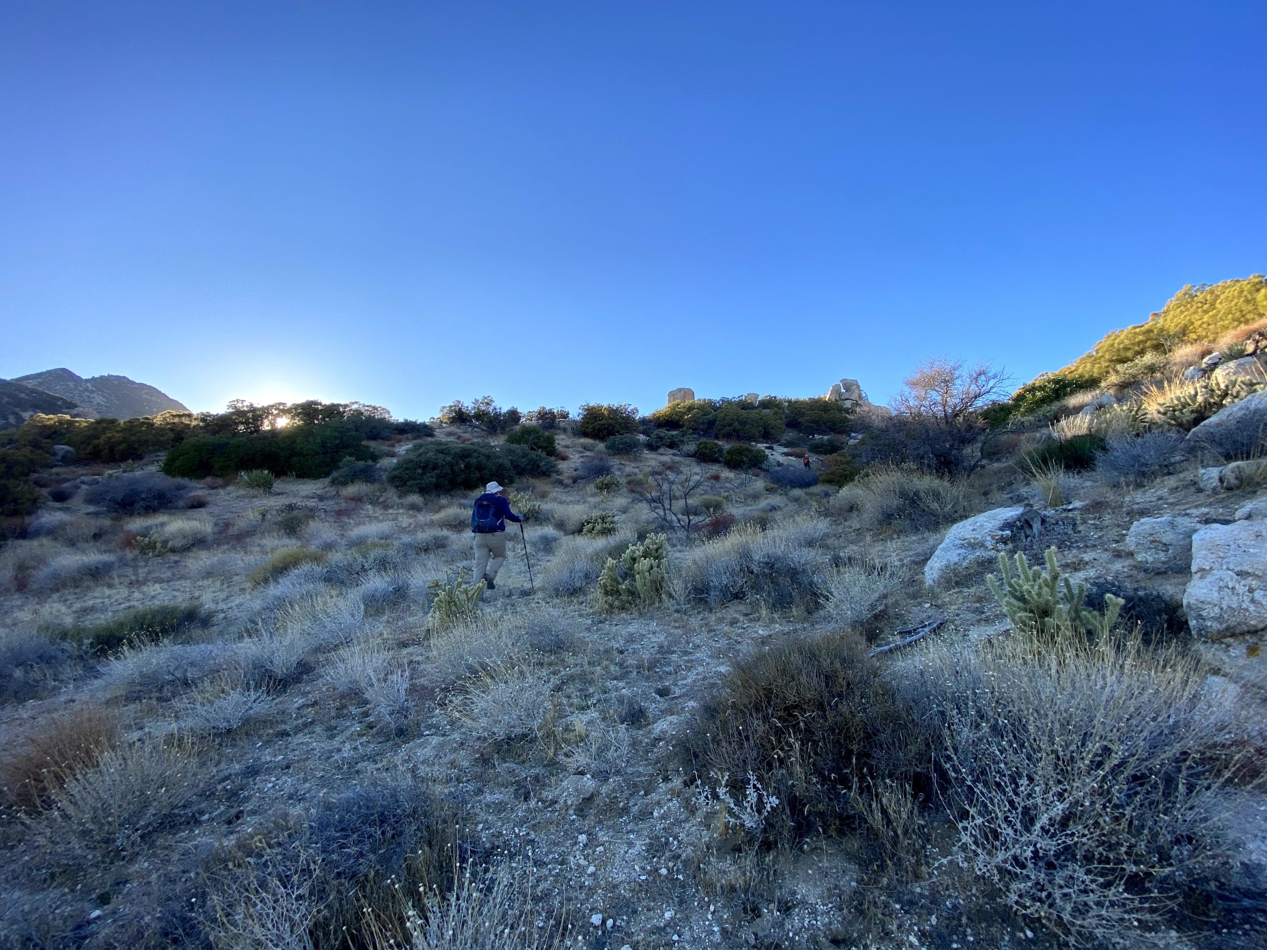
In addition to the four of us, Alberto was able to join in. He had recently finished the 100 Peak Challenge and was also starting on the Sierra Club list. Since he has a 4×4 Jeep, if we had opted to try from Salvador Canyon, we would have needed it to reach the trailhead. I am afraid the trusty Outback would not be capable of the journey. We met at the boundary of the BSA property shortly before 6. Matt was already there, as he had camped overnight. We quickly got ready in the predawn light, and while it was a brisk 40°F, we knew once we got moving we would be fine. We slipped through the gate and headed down the road for about 1.25 miles to what other trip reports referred to as the “Big Rock”. As we made our way down the road, the eastern sky began to glow as the sun started to rise. I wish we could have driven in further and saved some time.

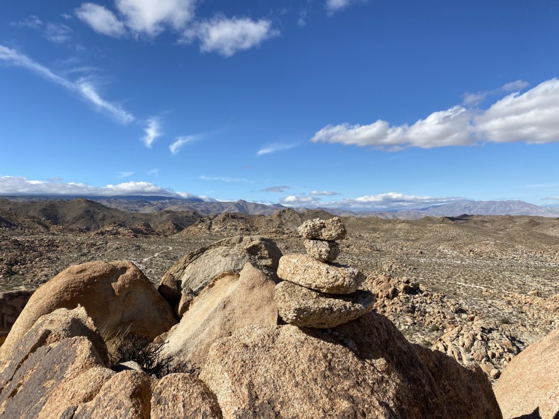
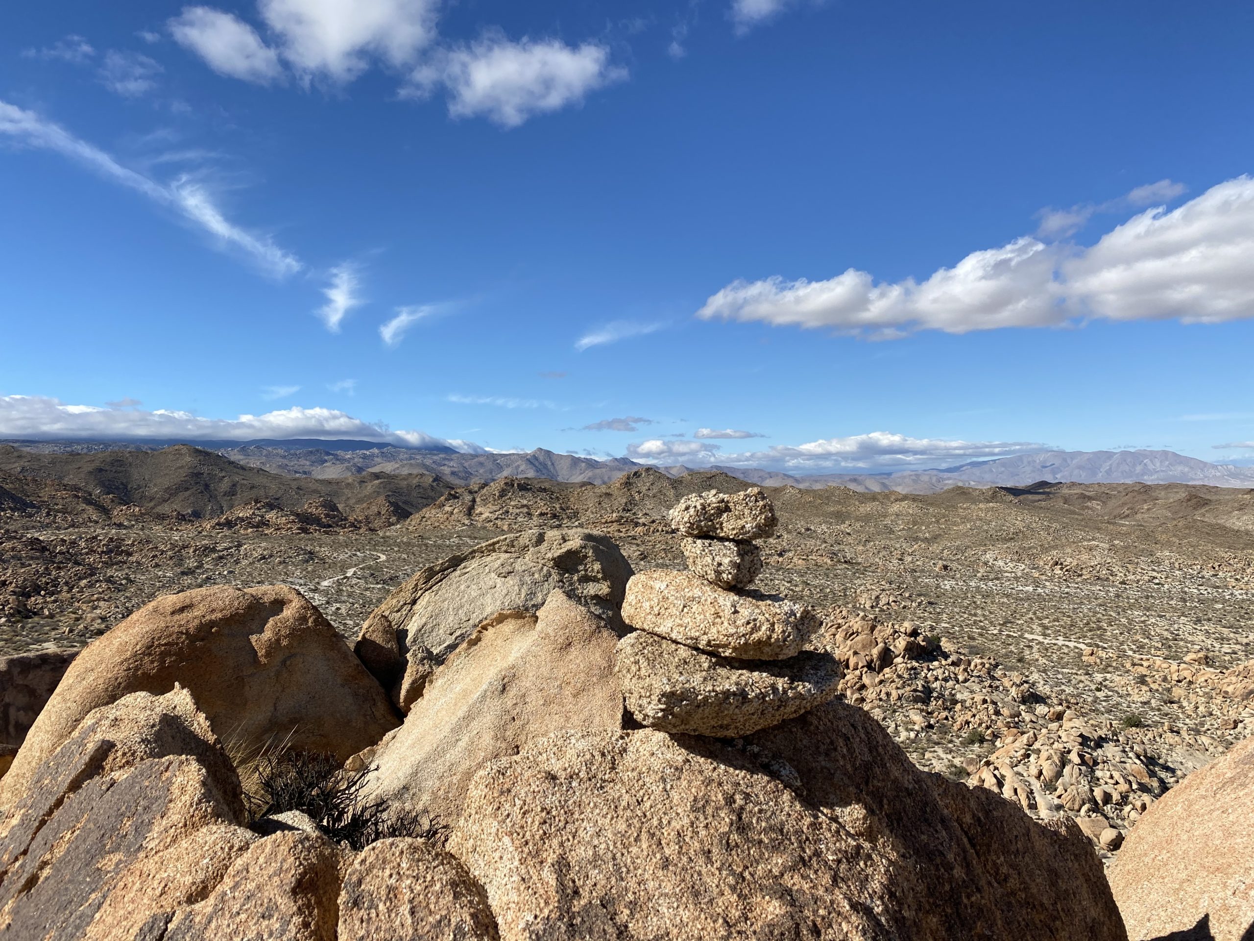
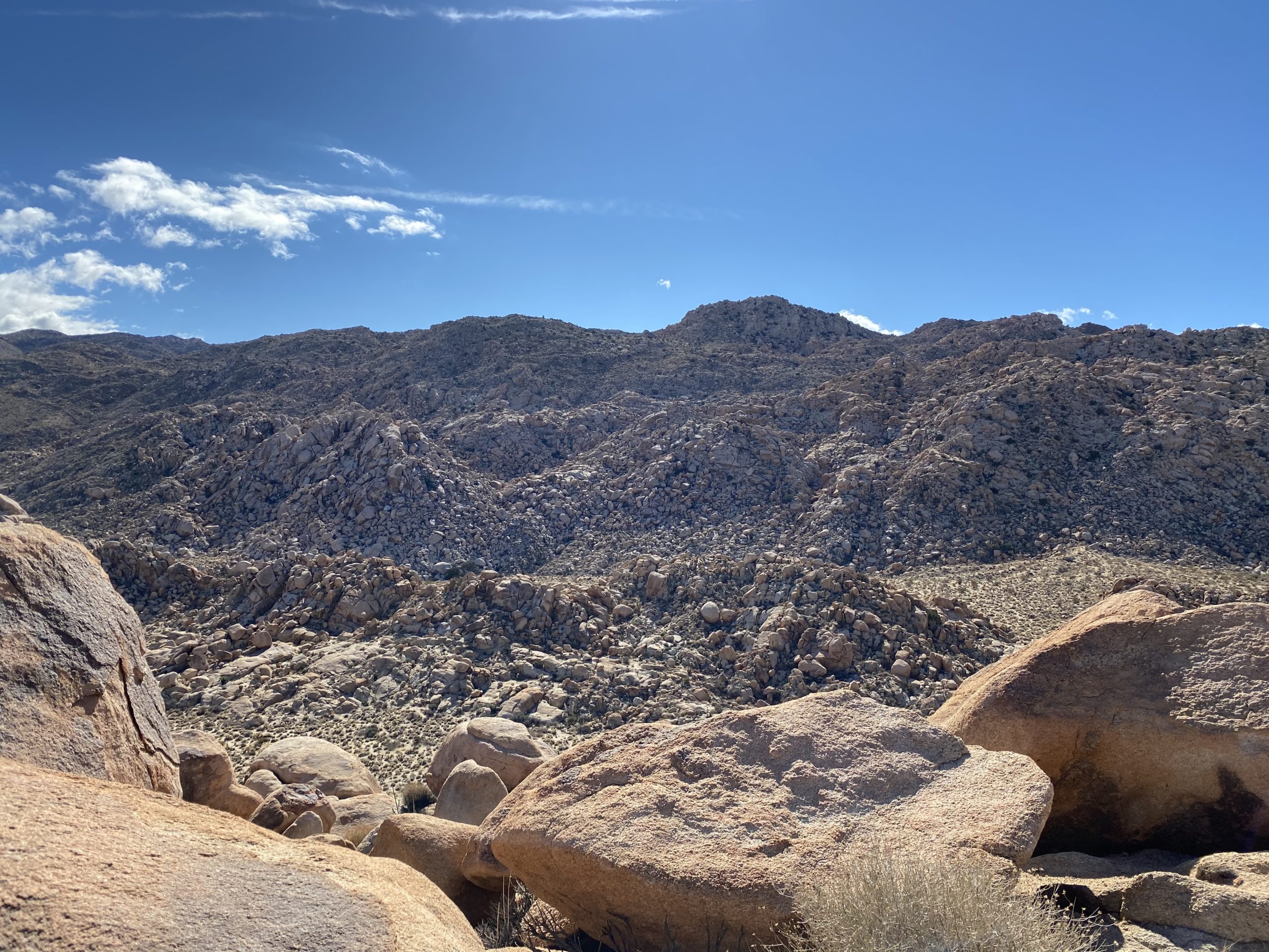
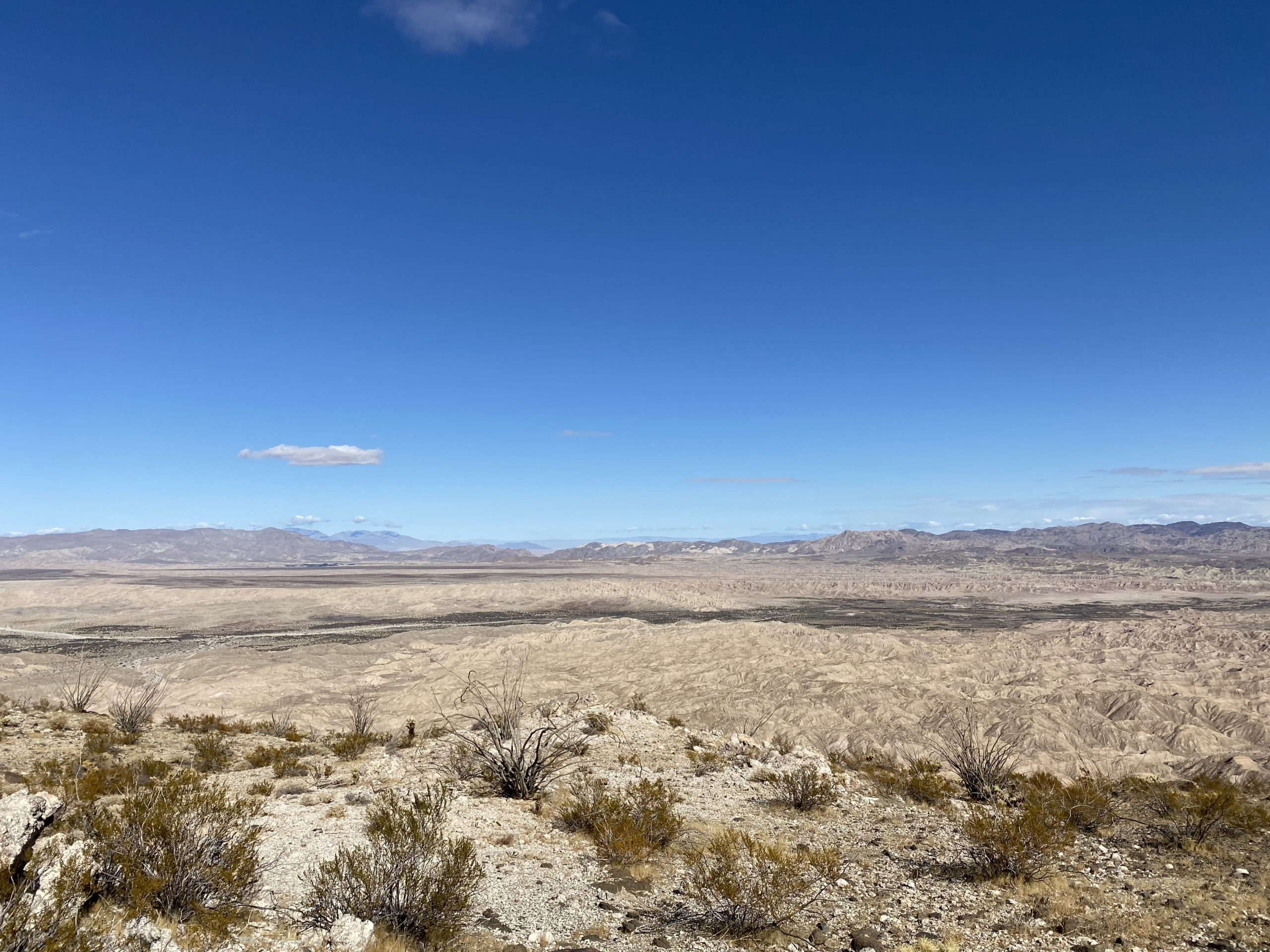
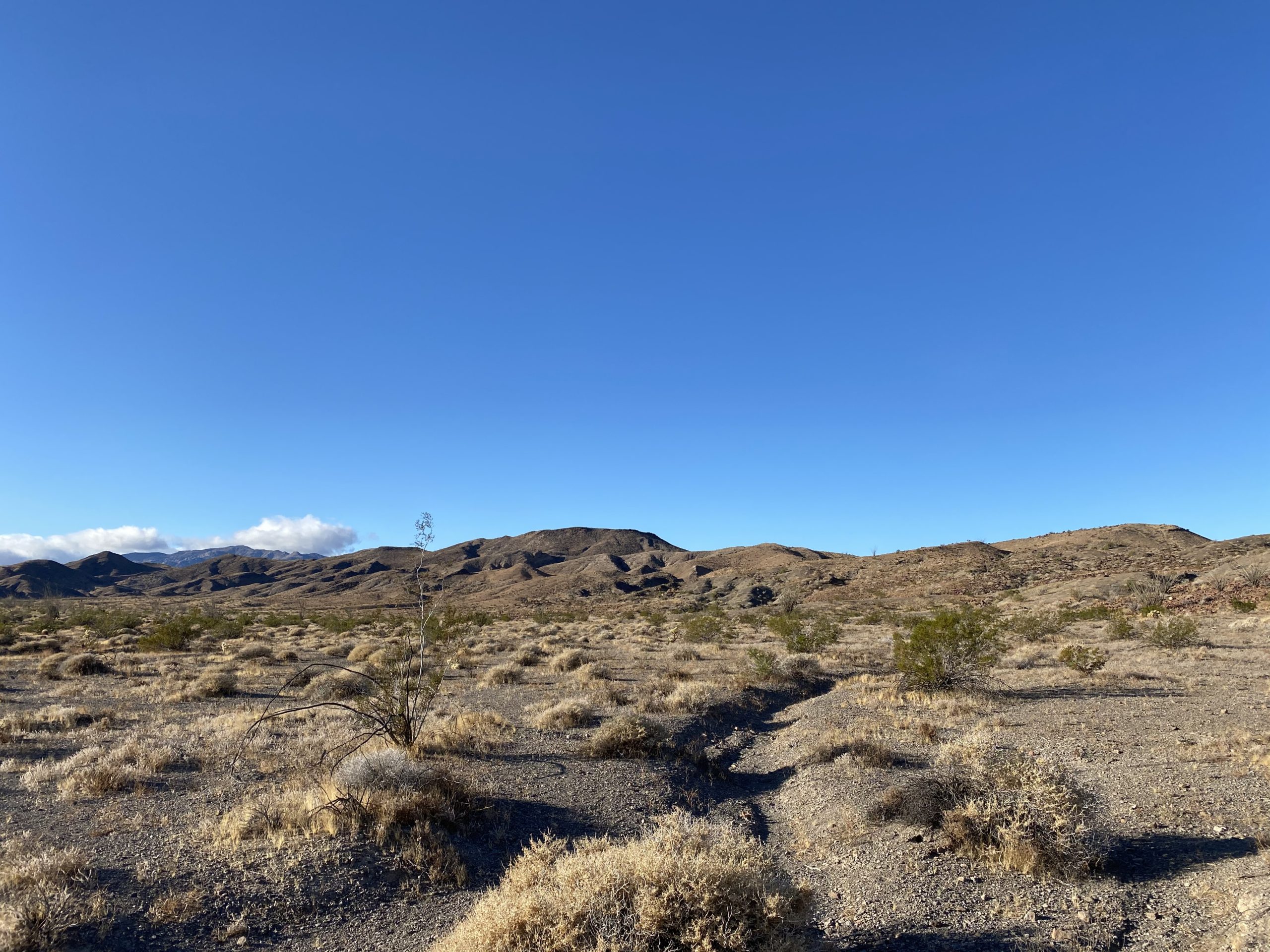
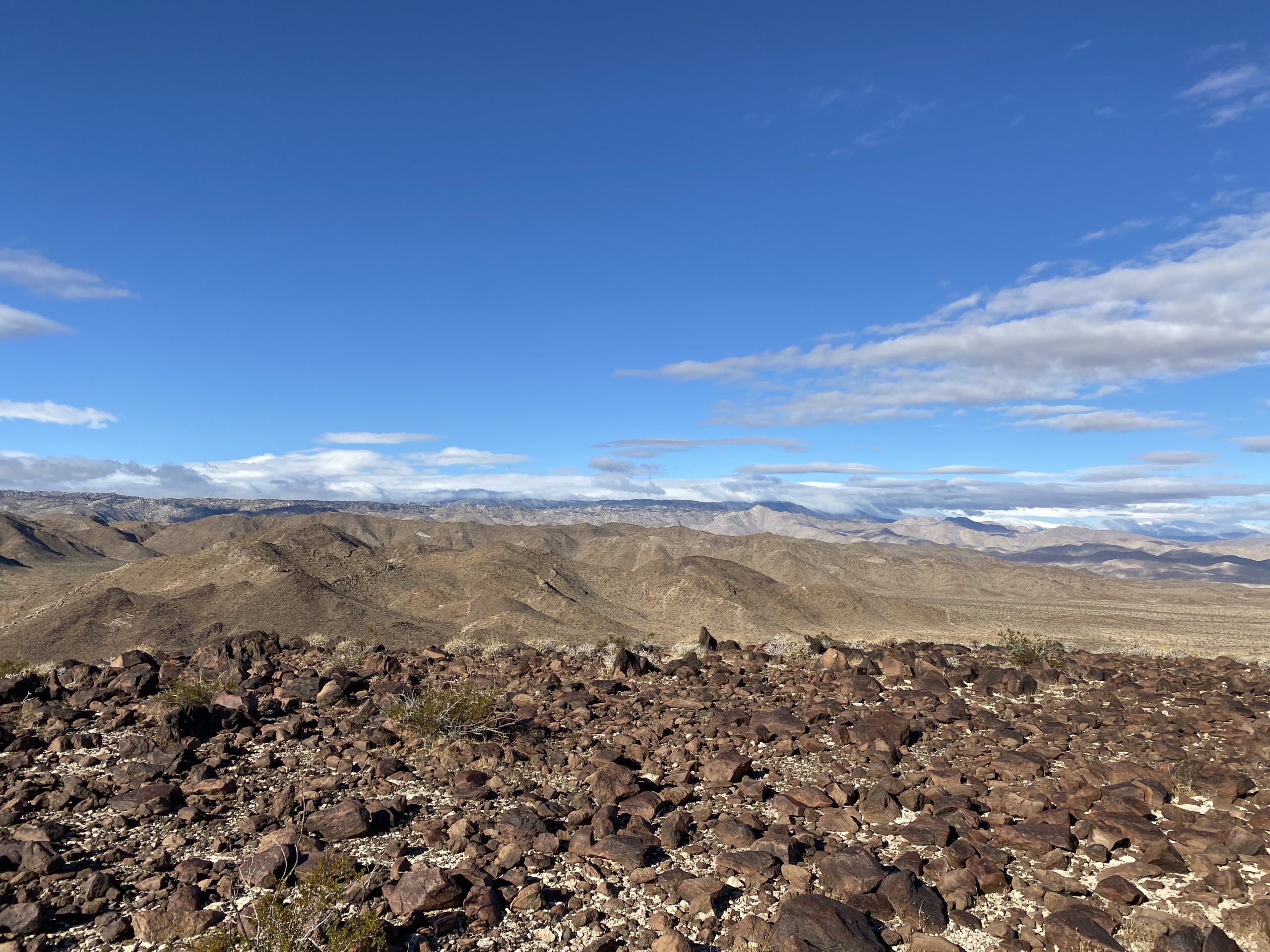
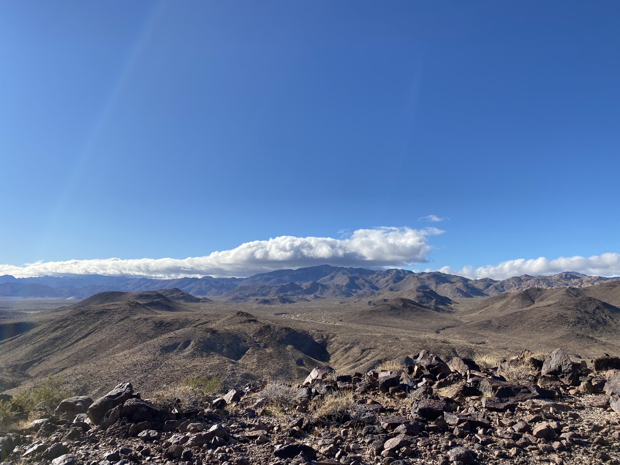
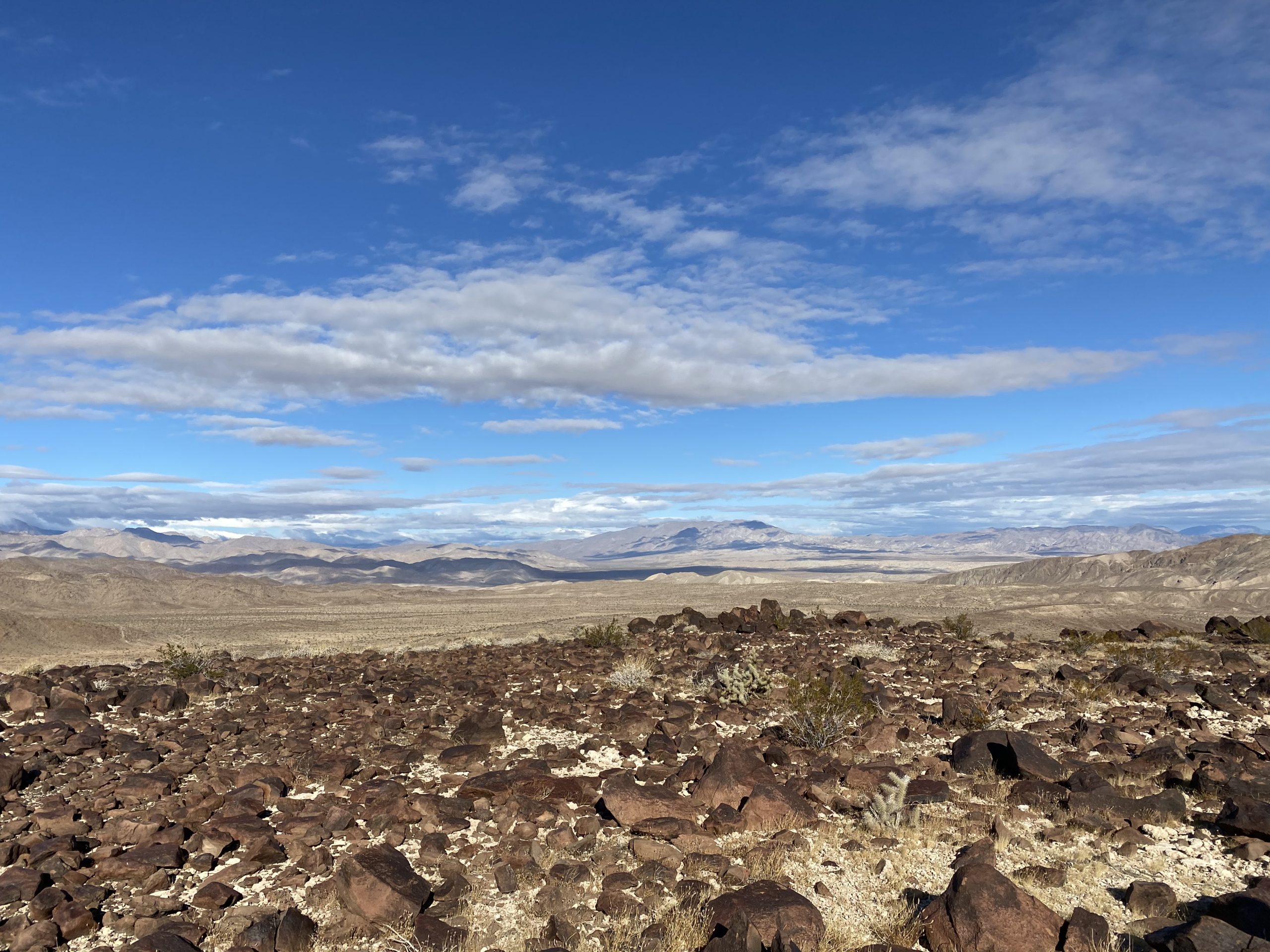
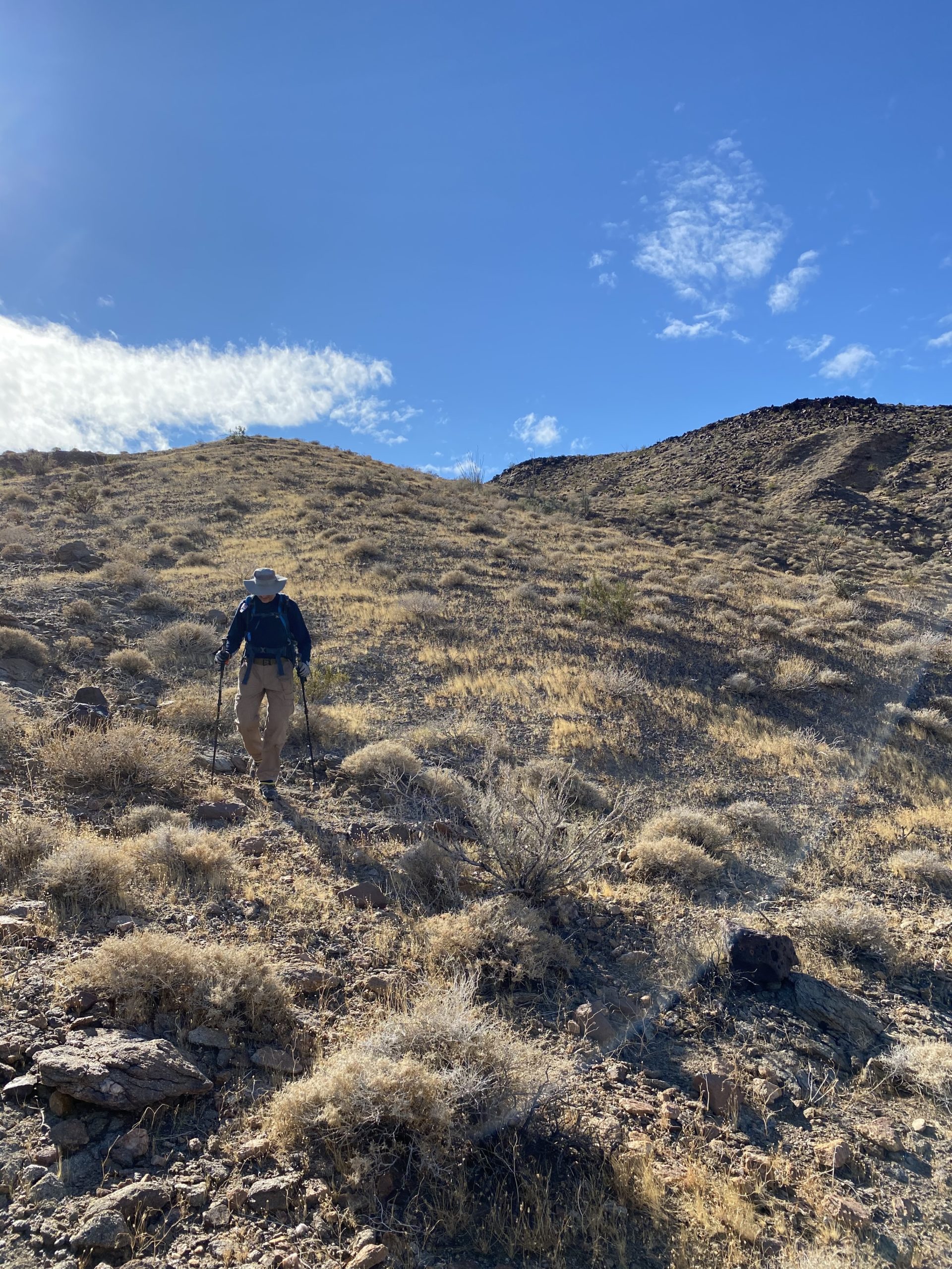
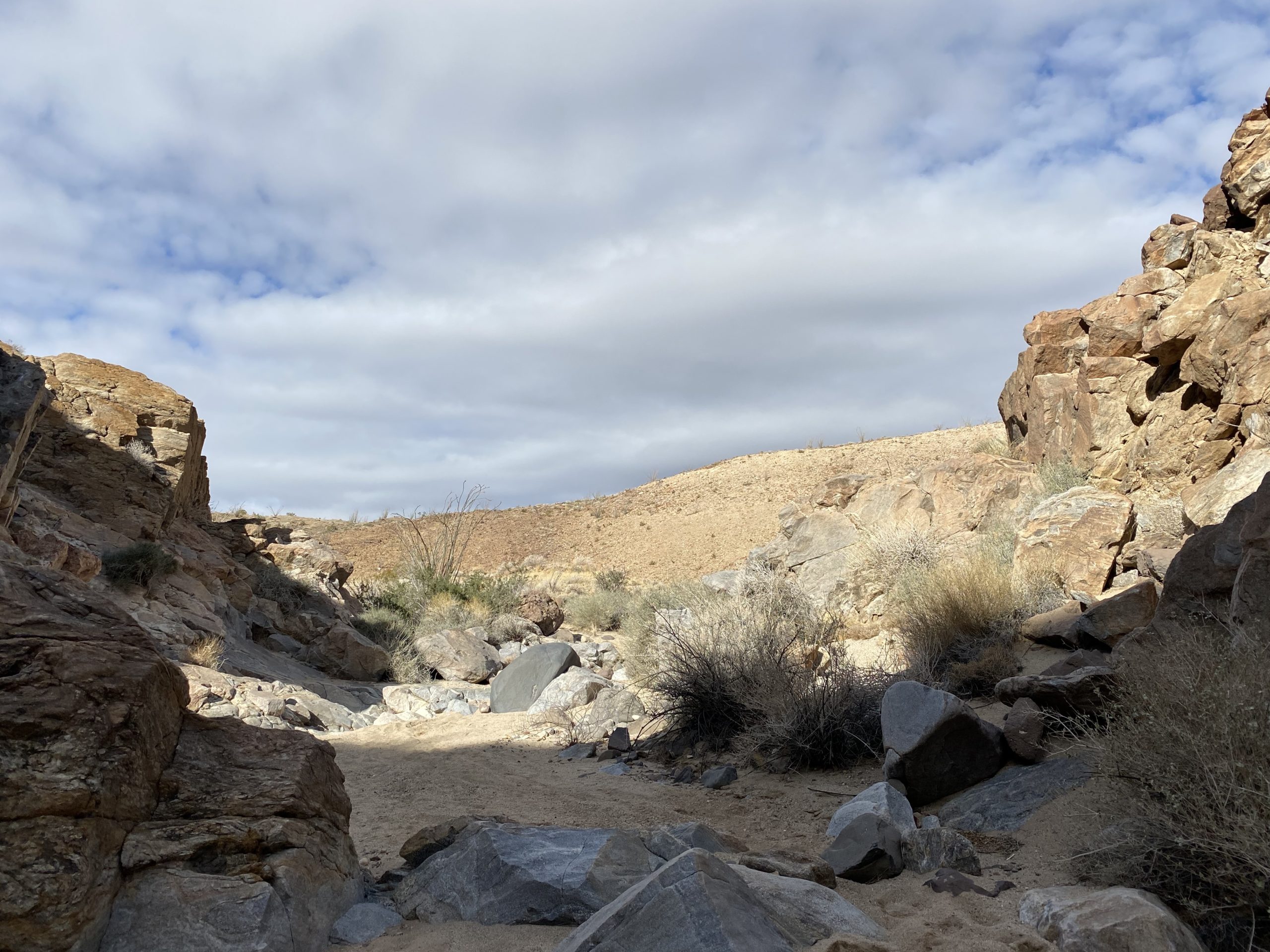
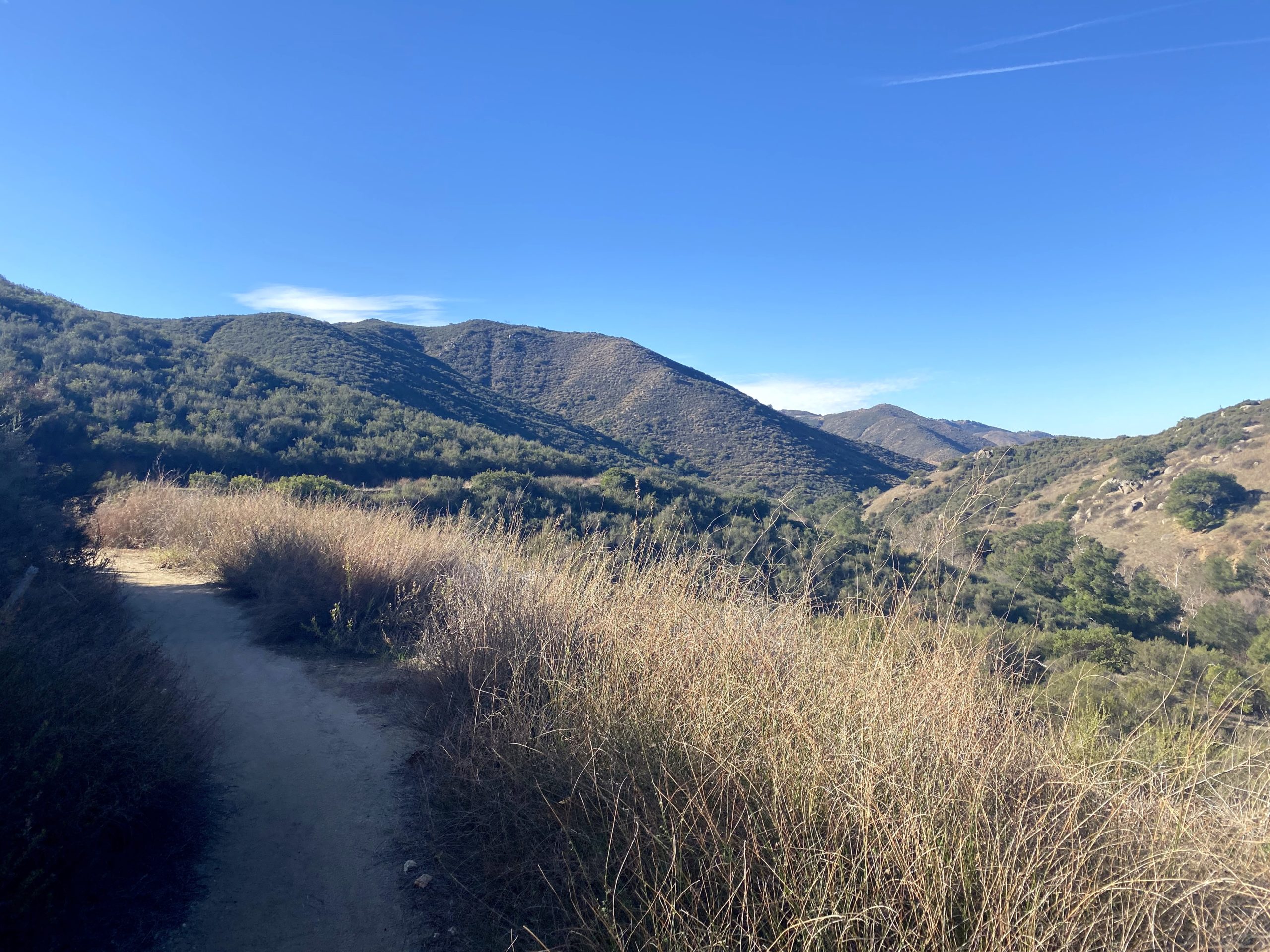
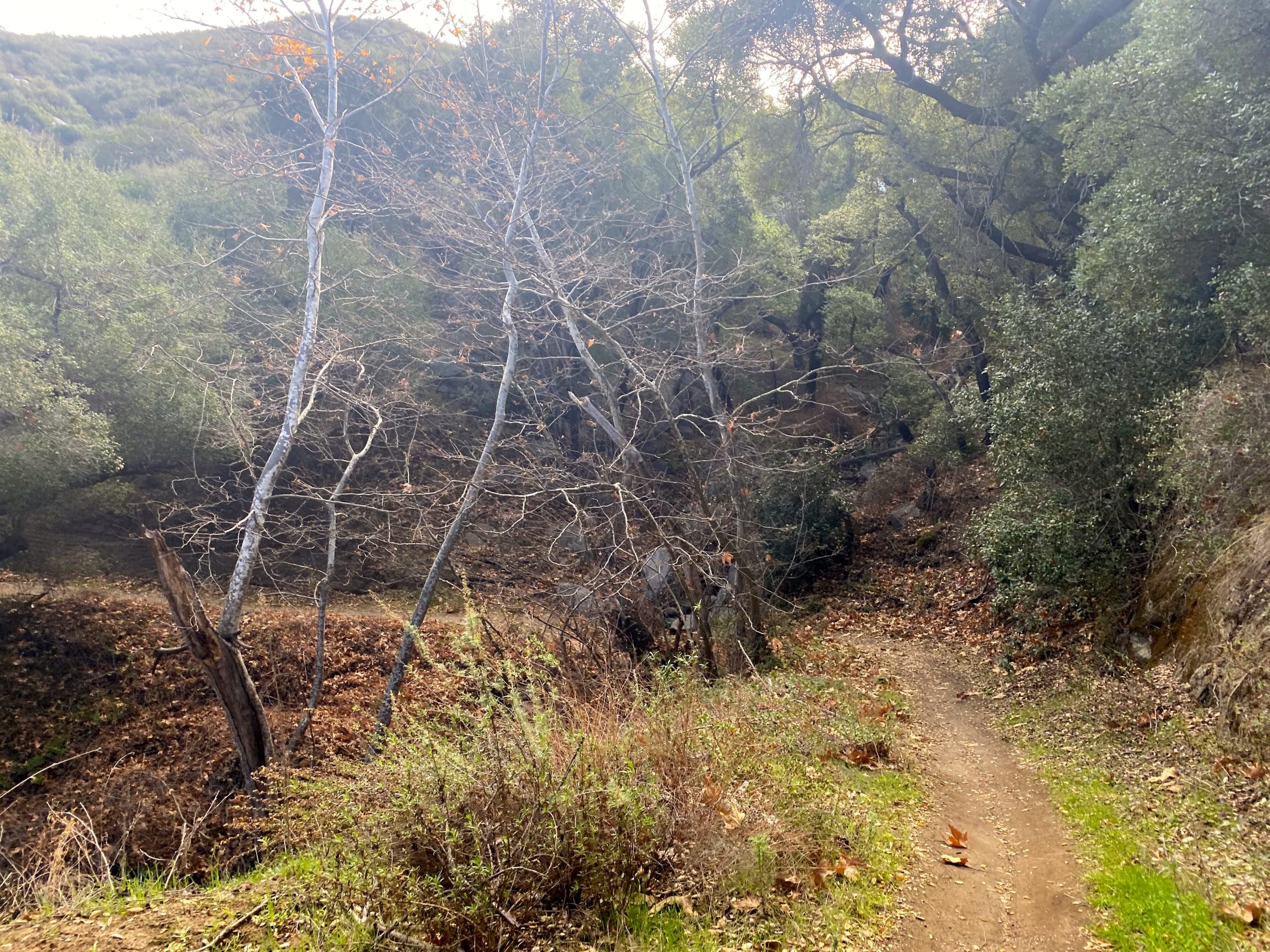
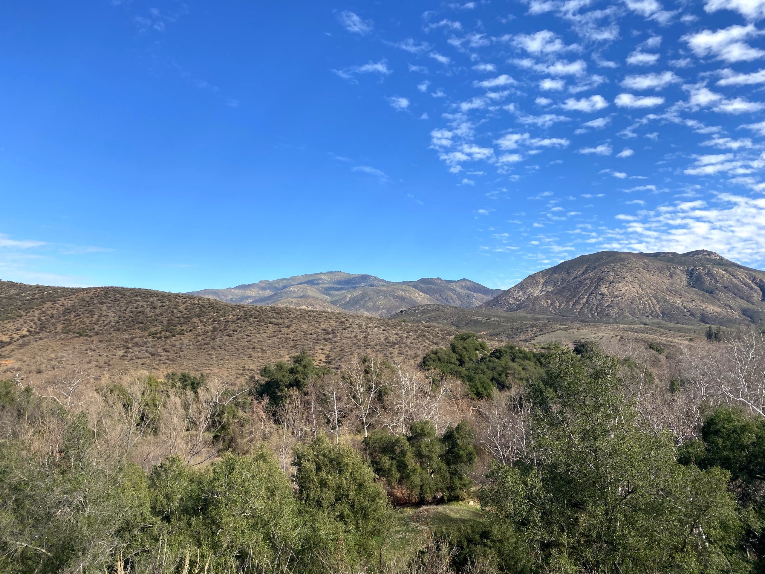
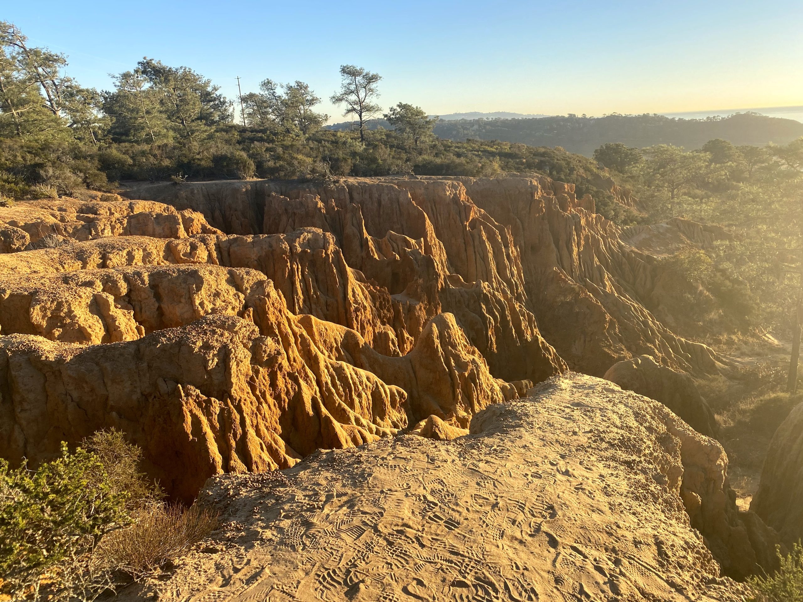
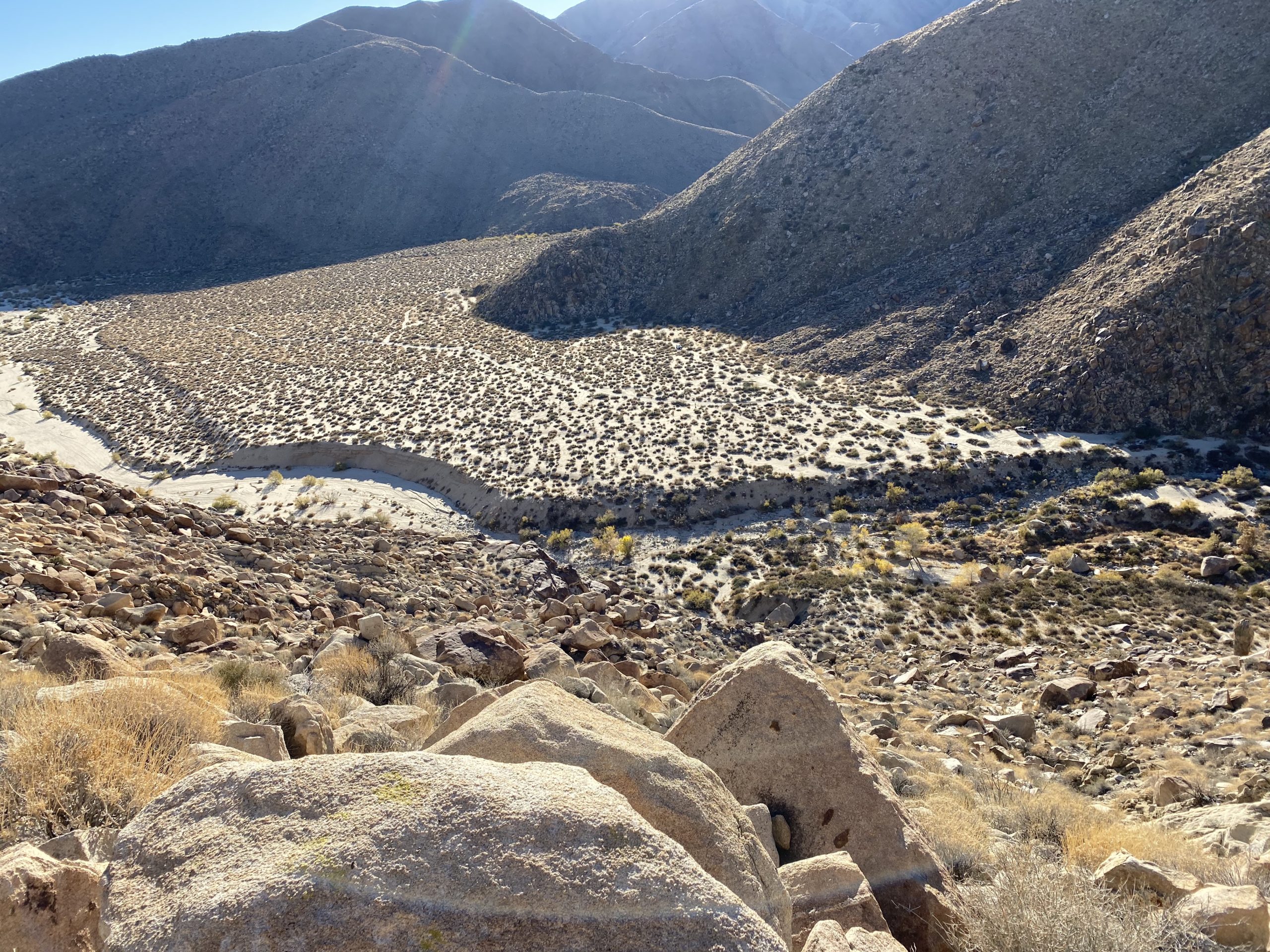
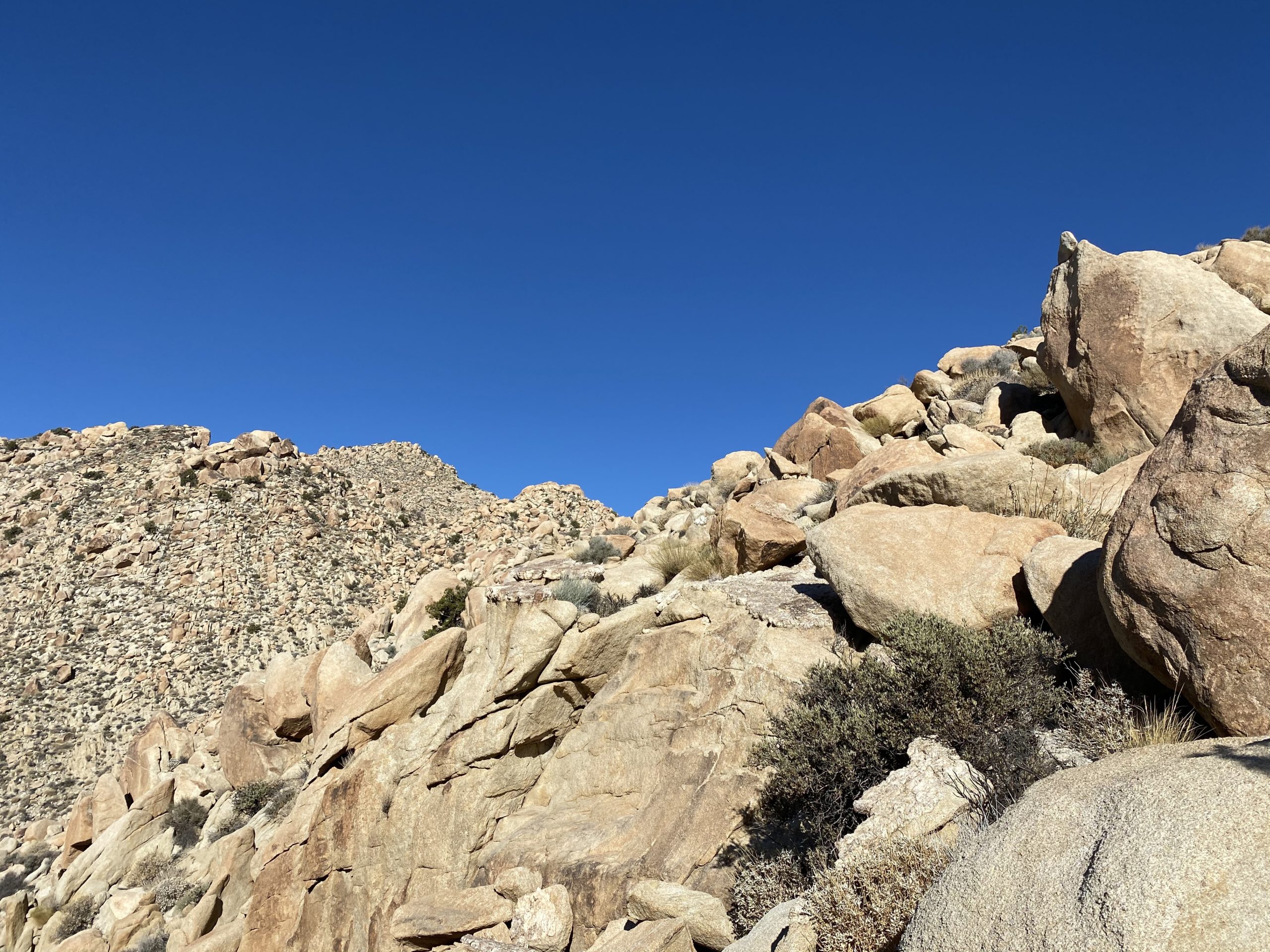
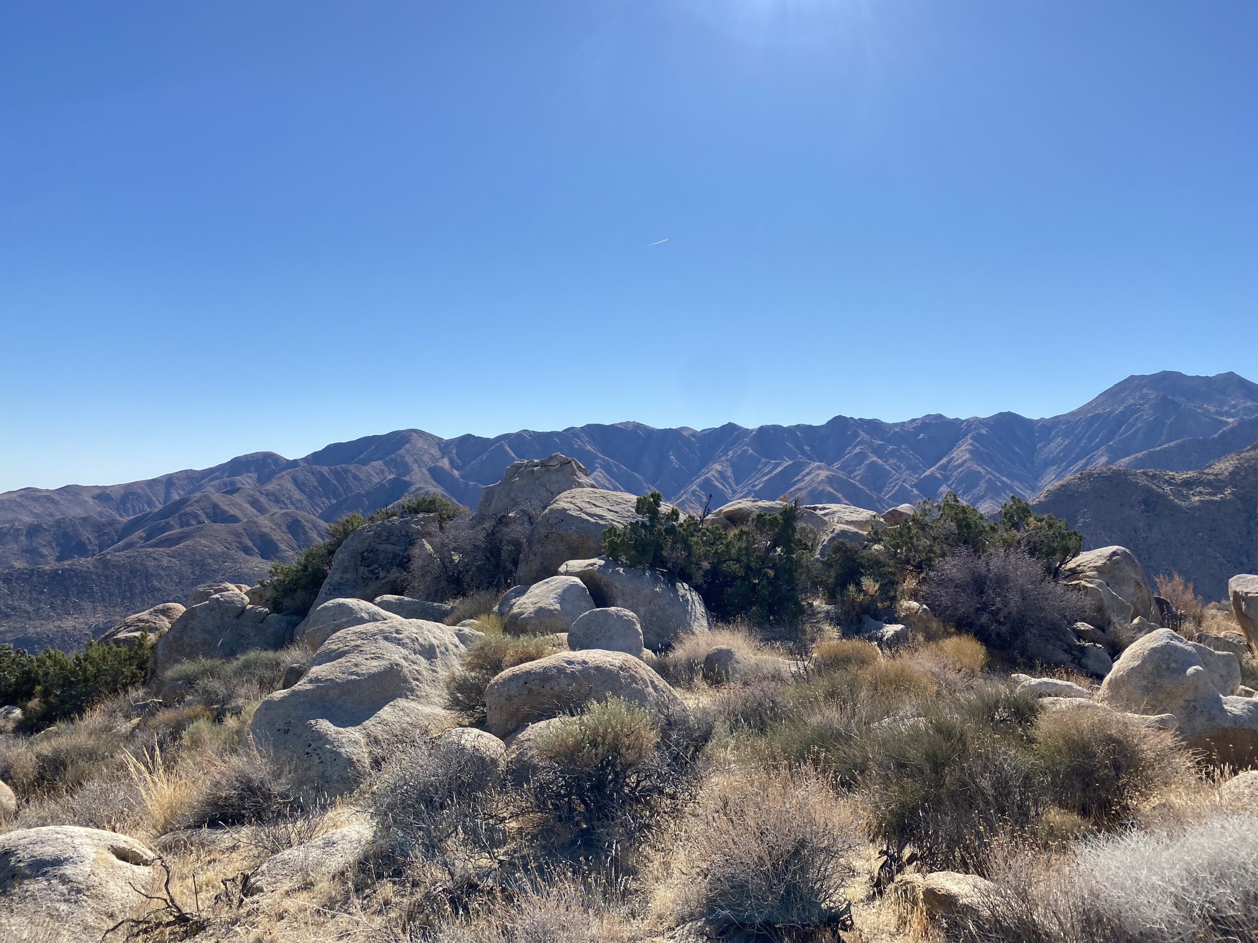
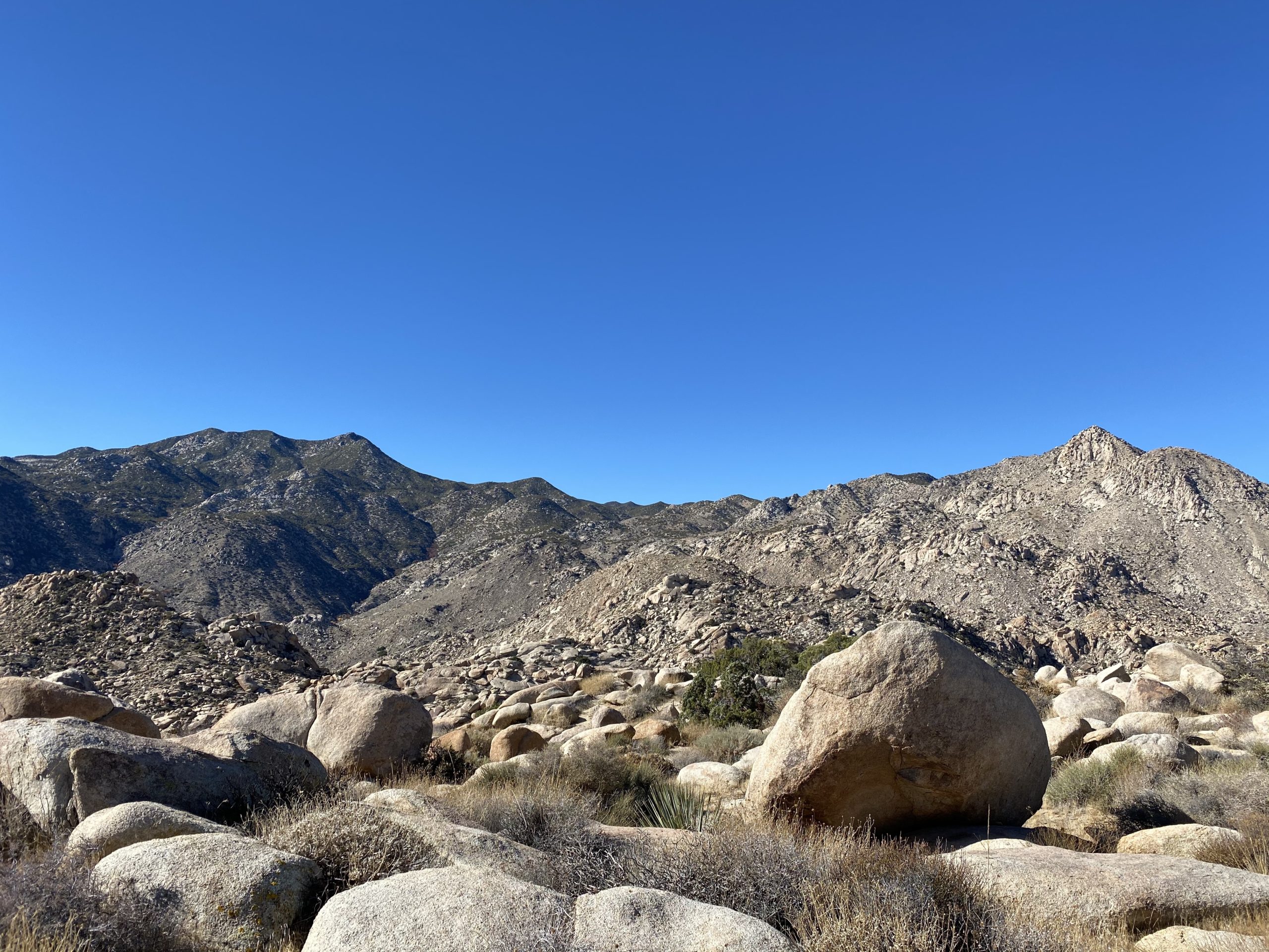
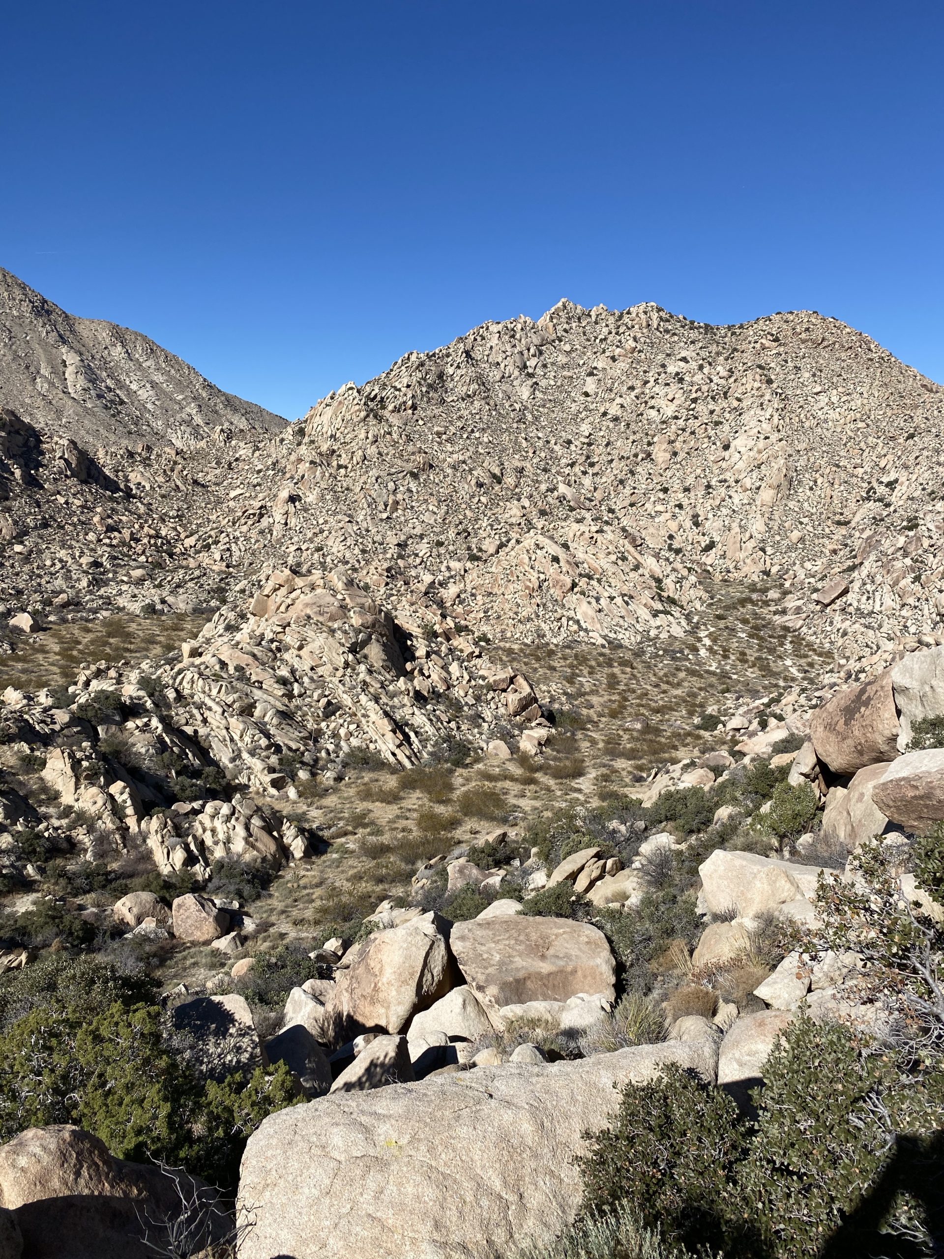
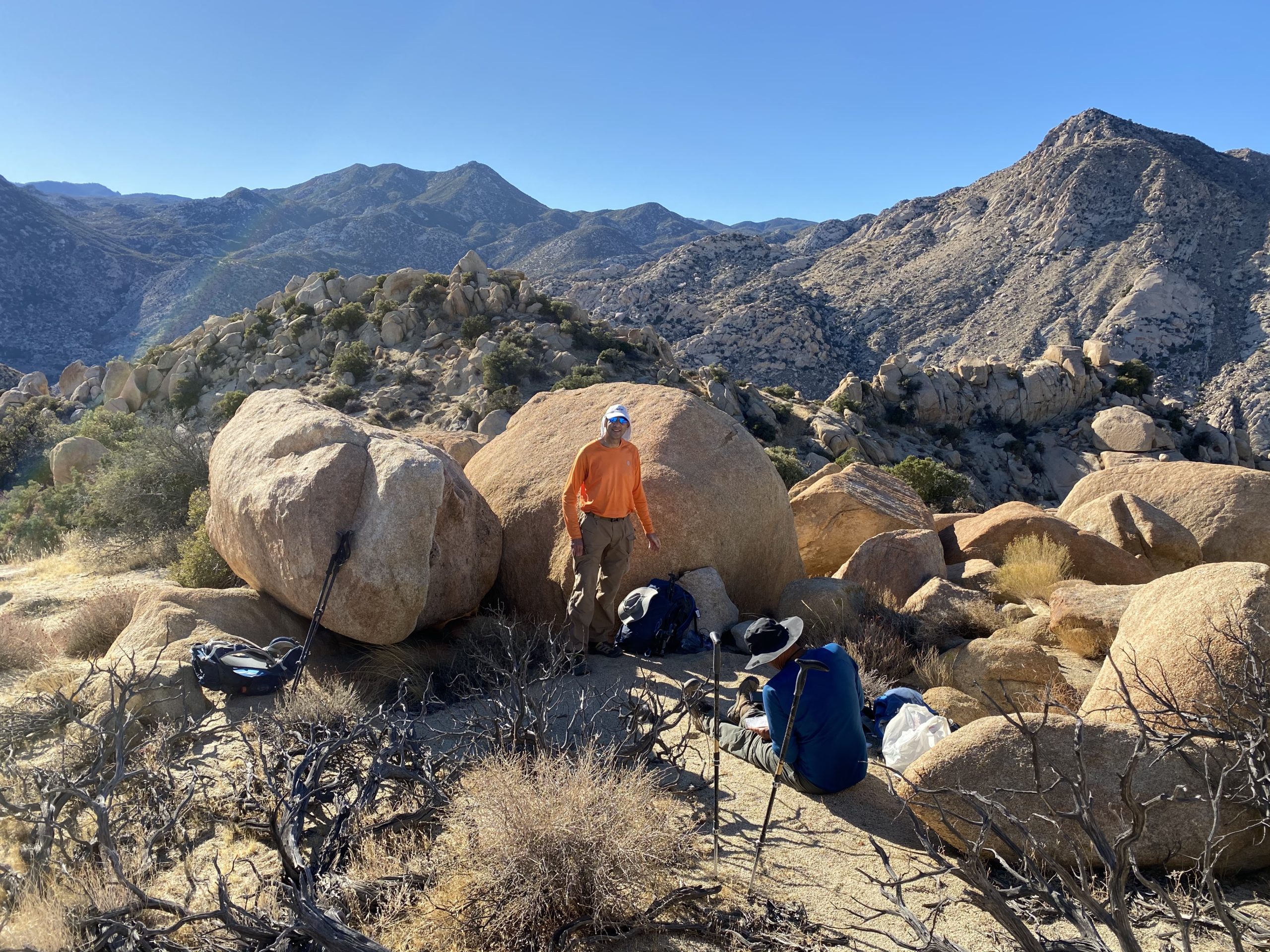
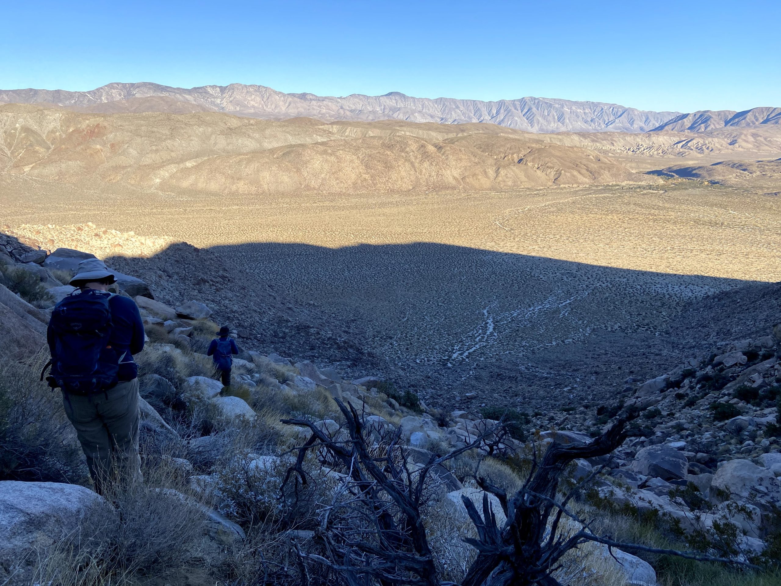
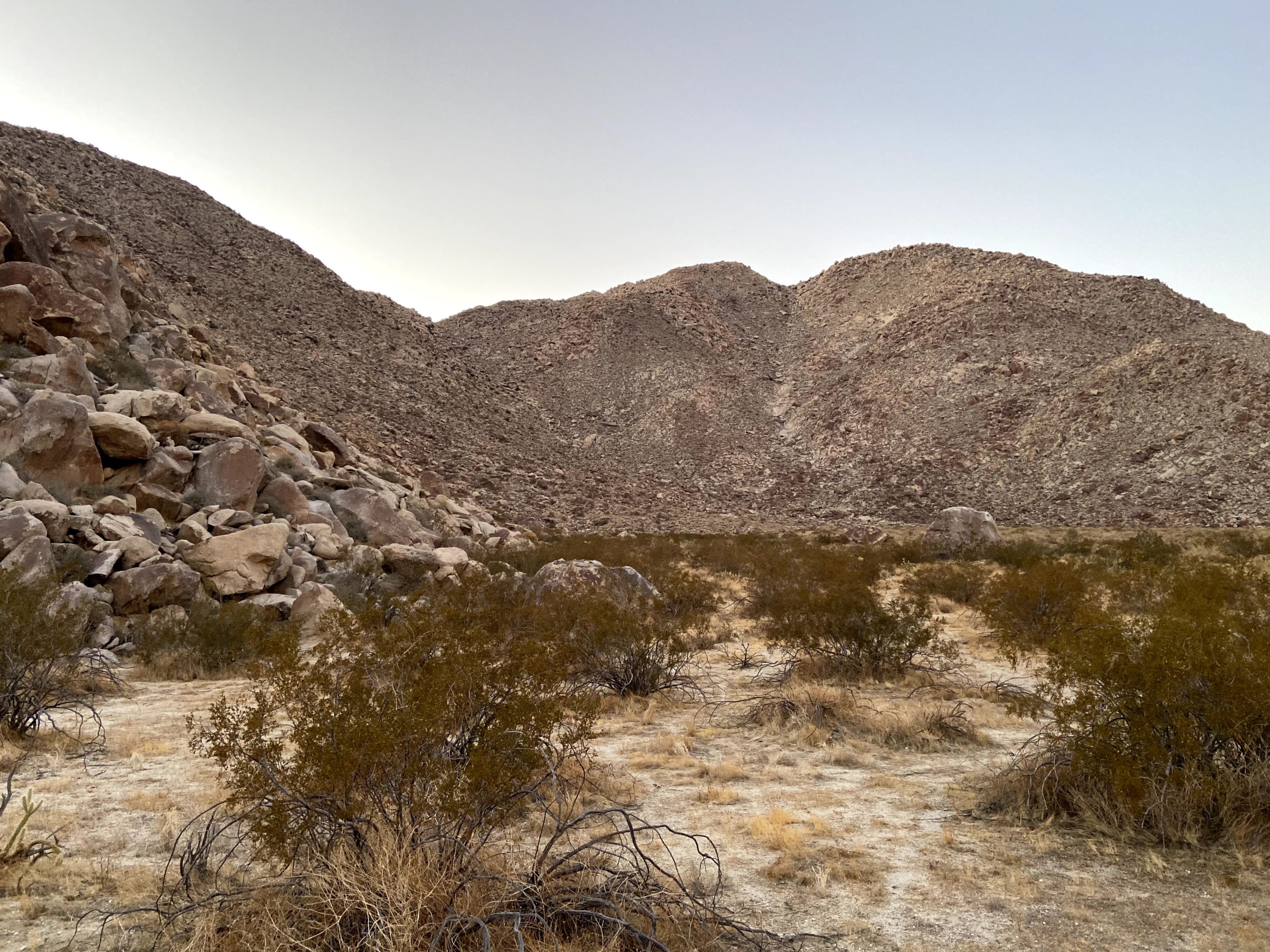
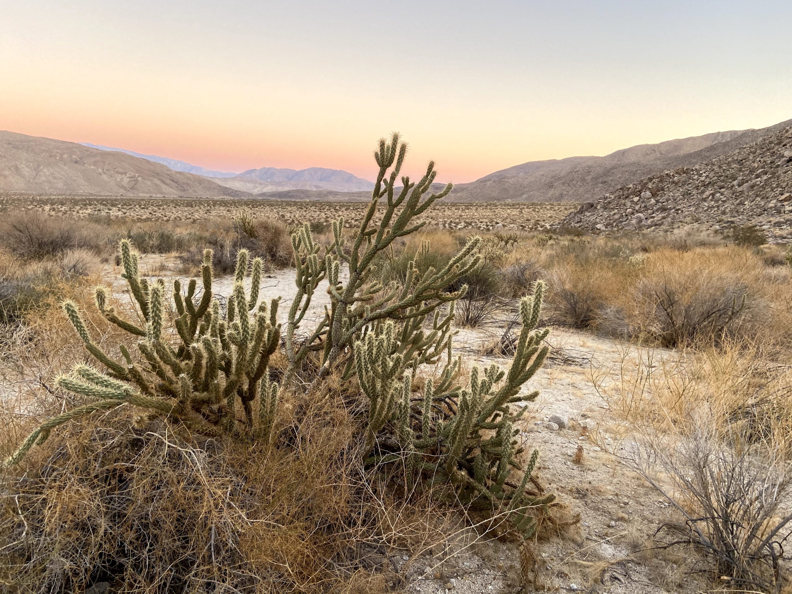
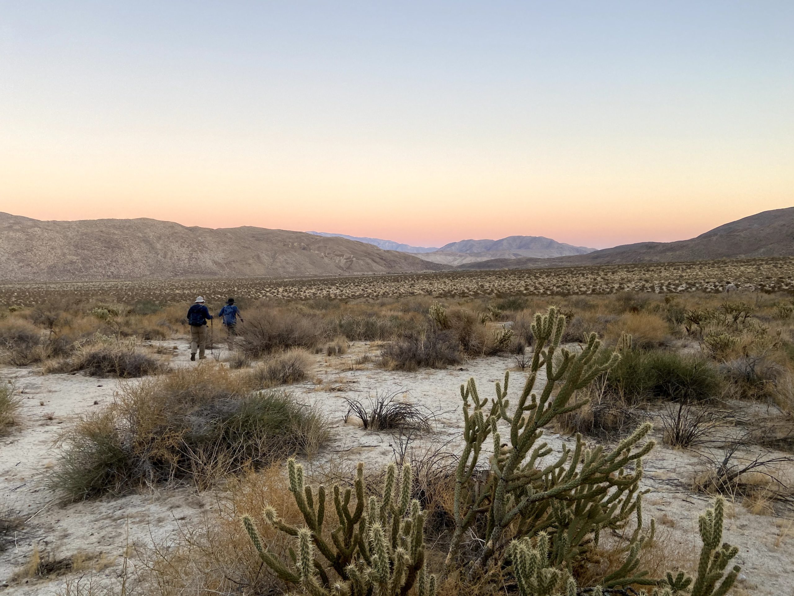
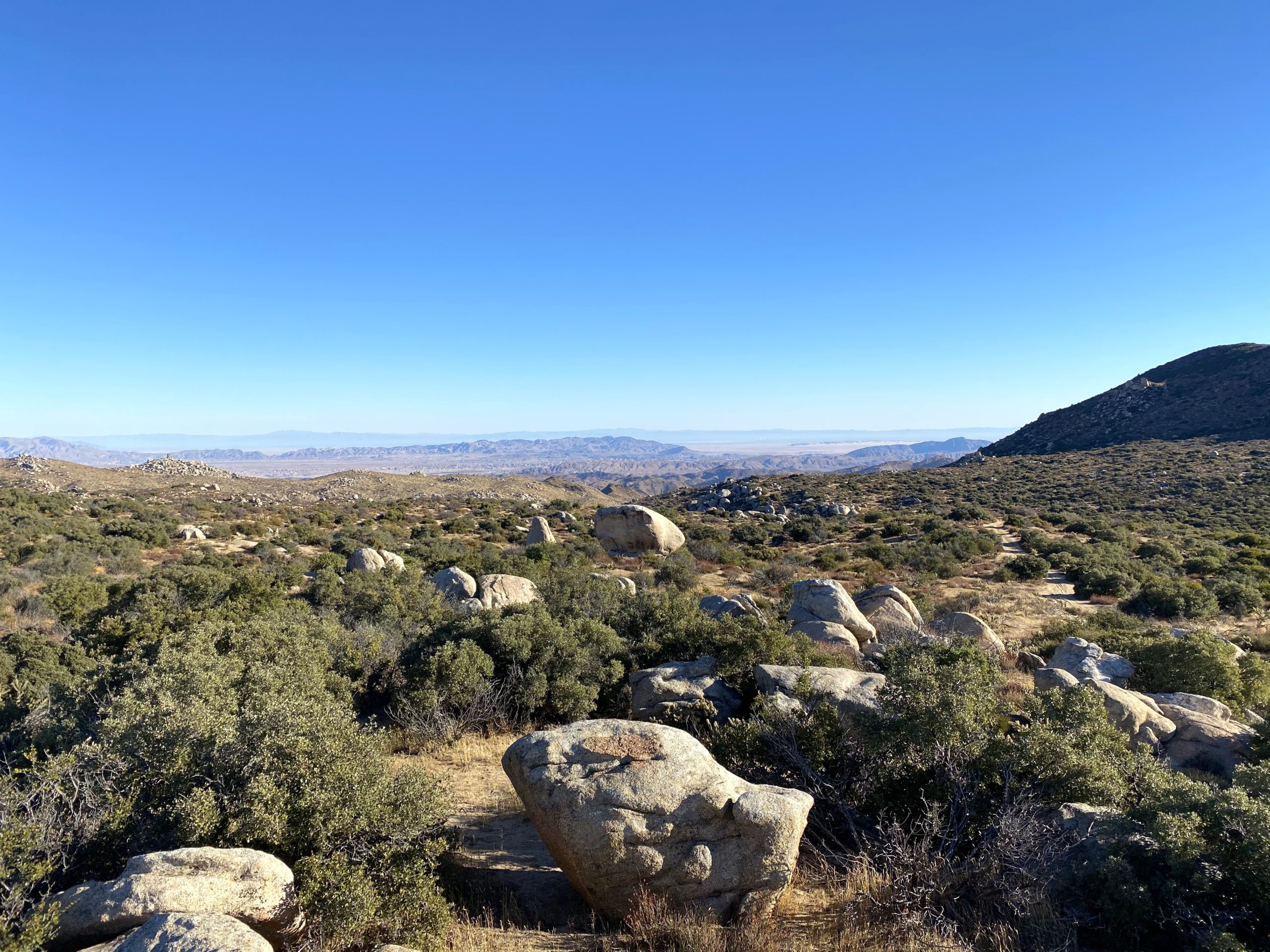
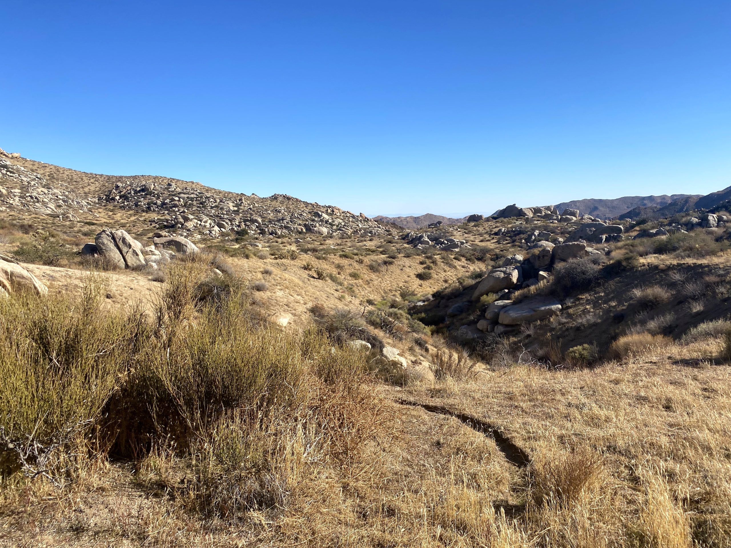
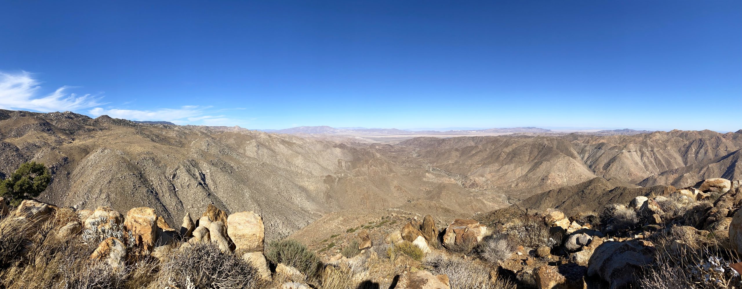
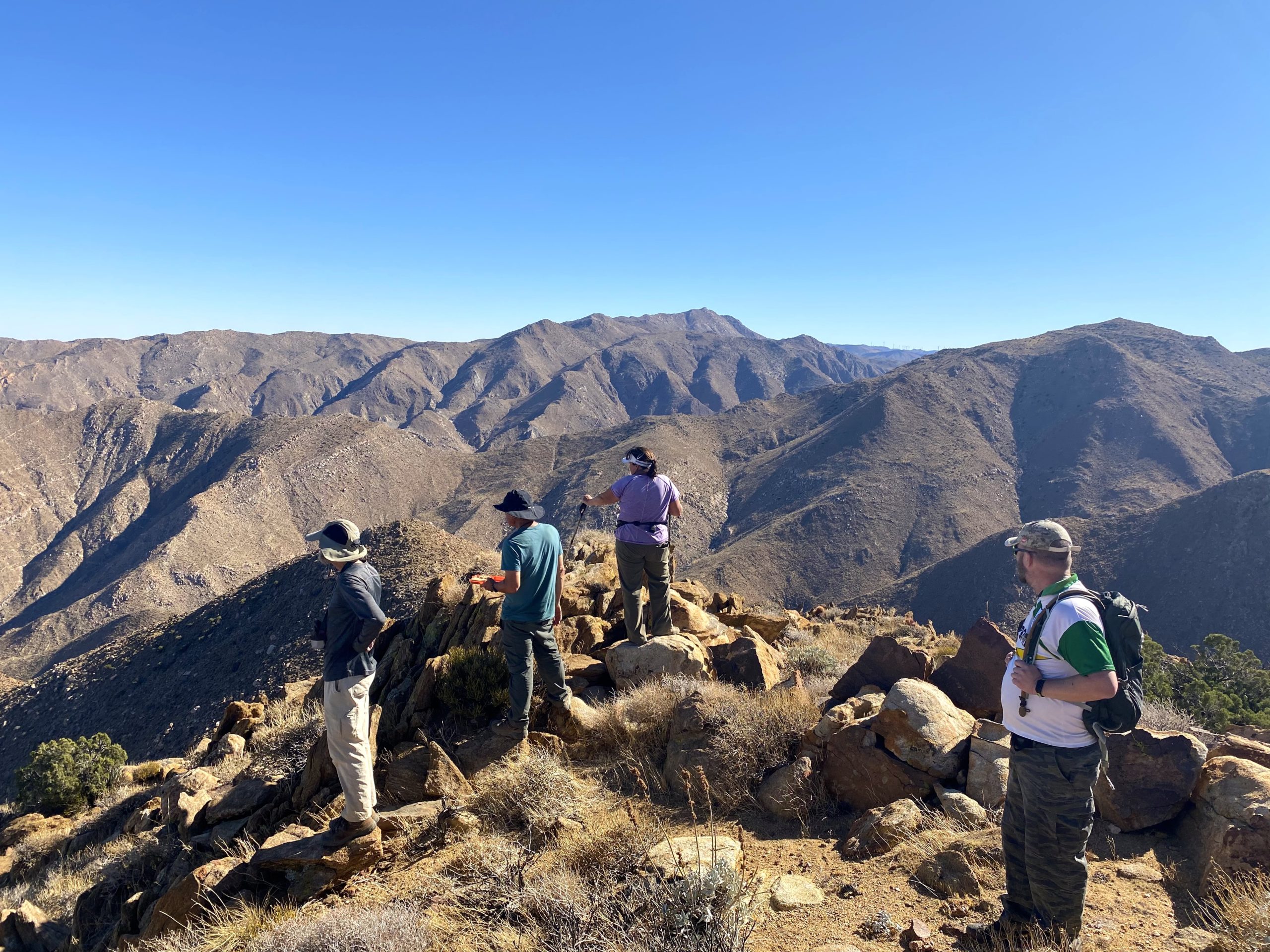
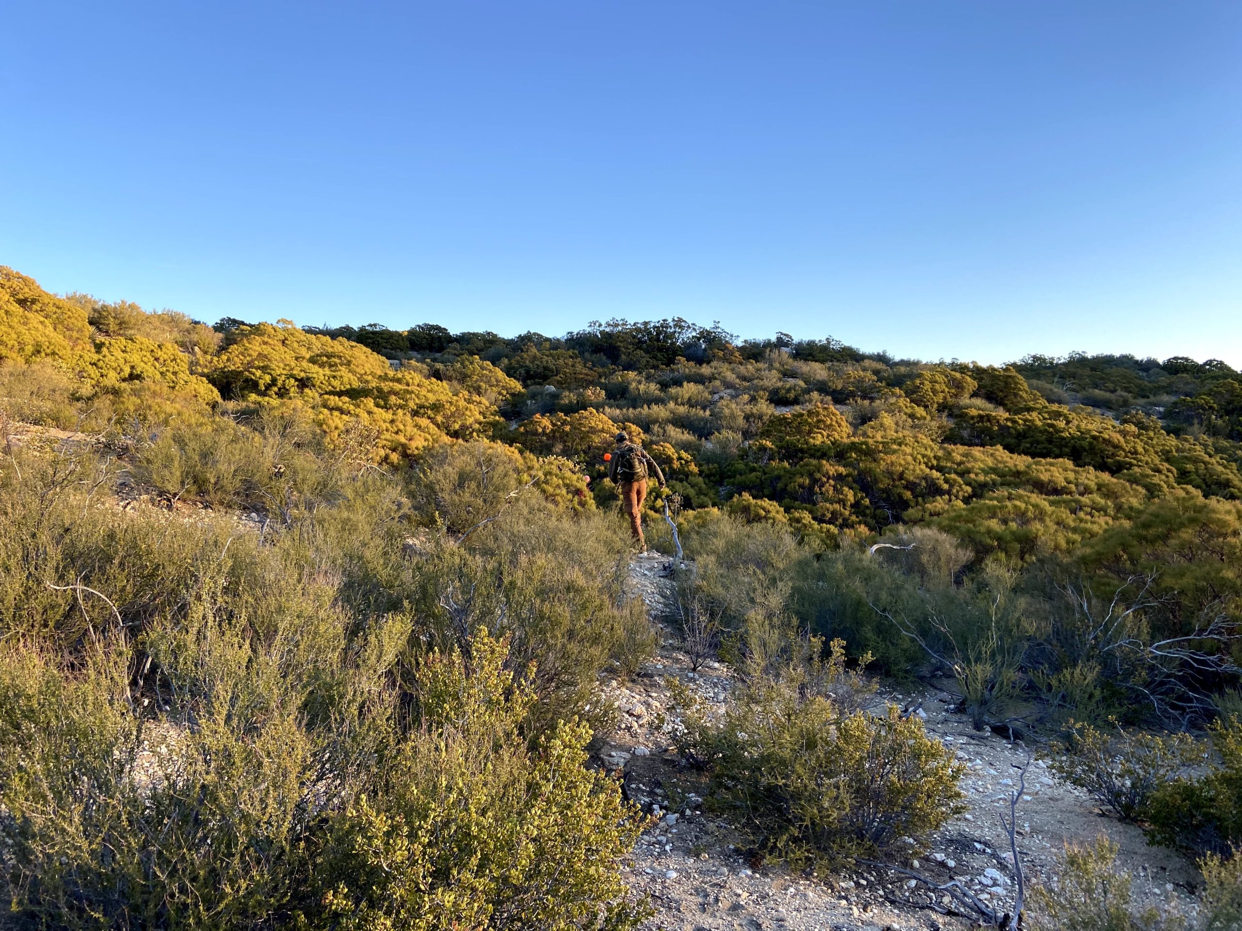
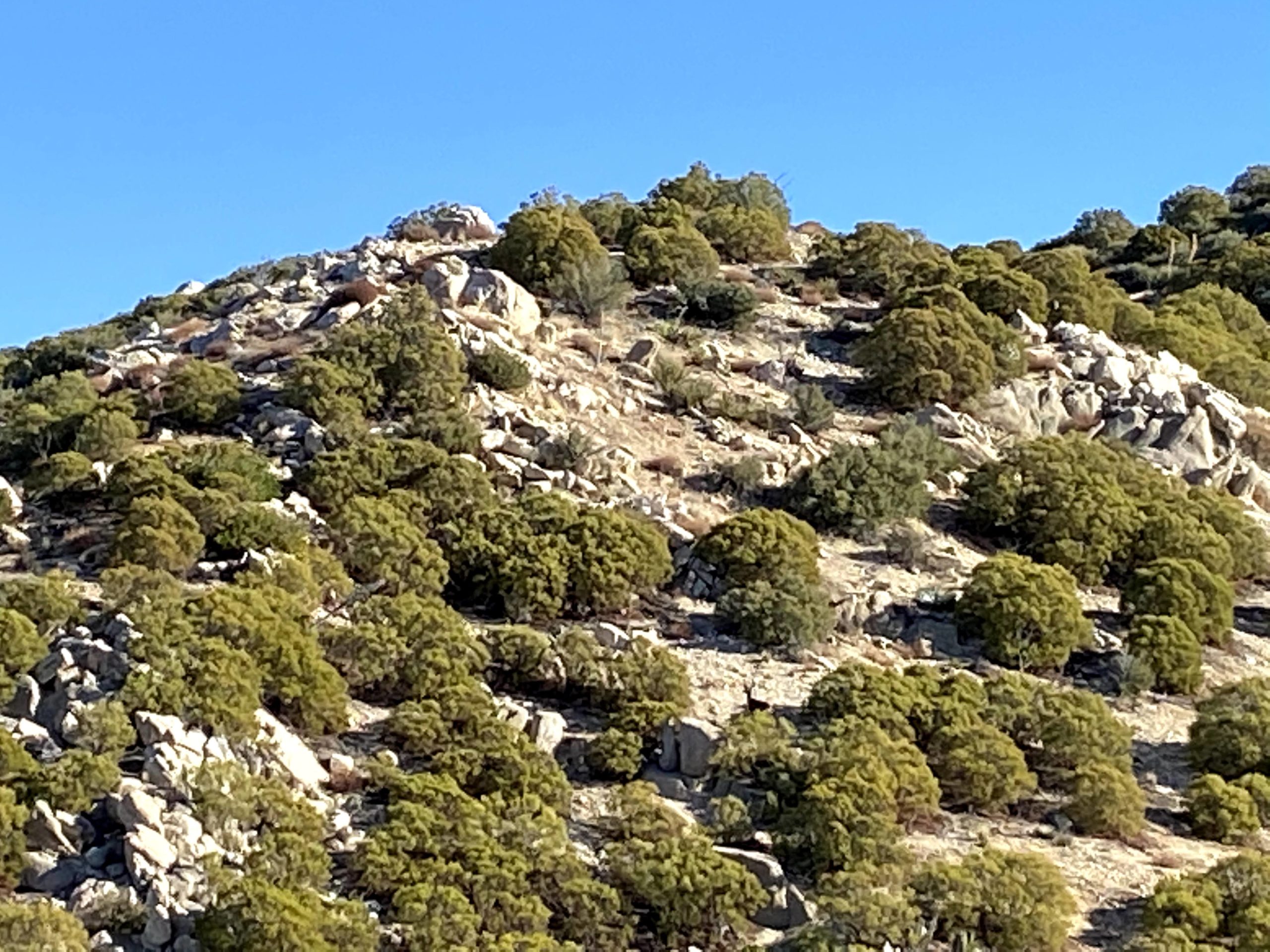
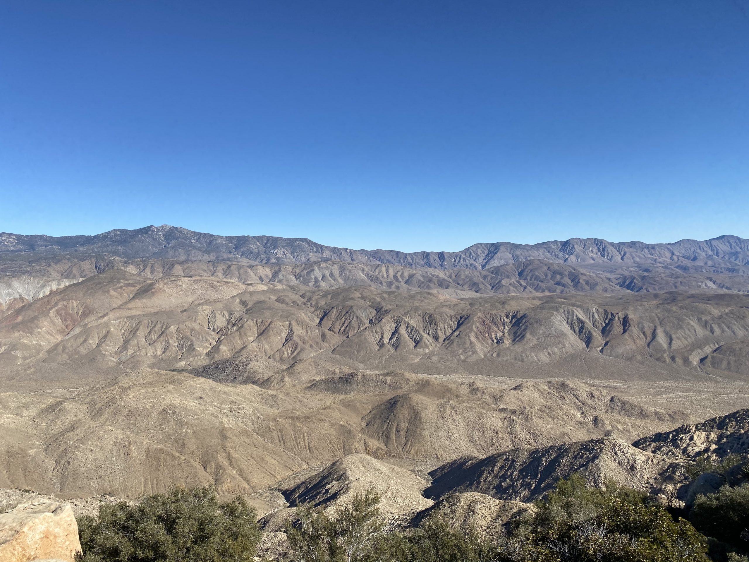
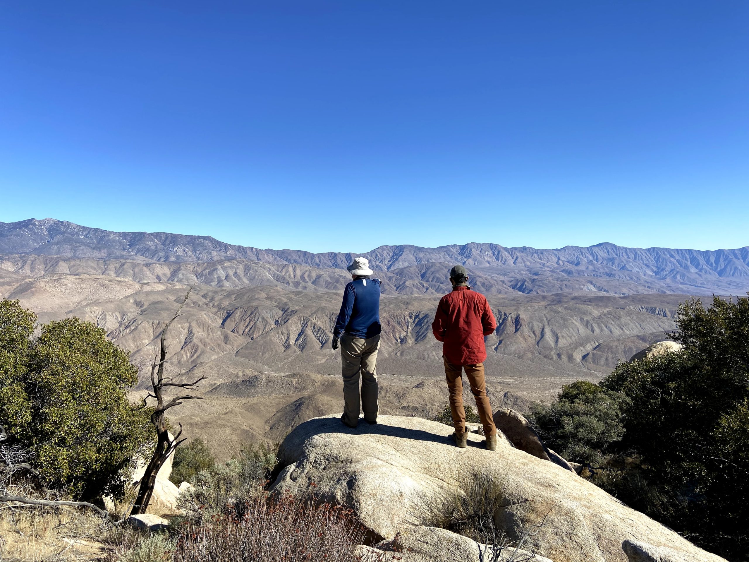
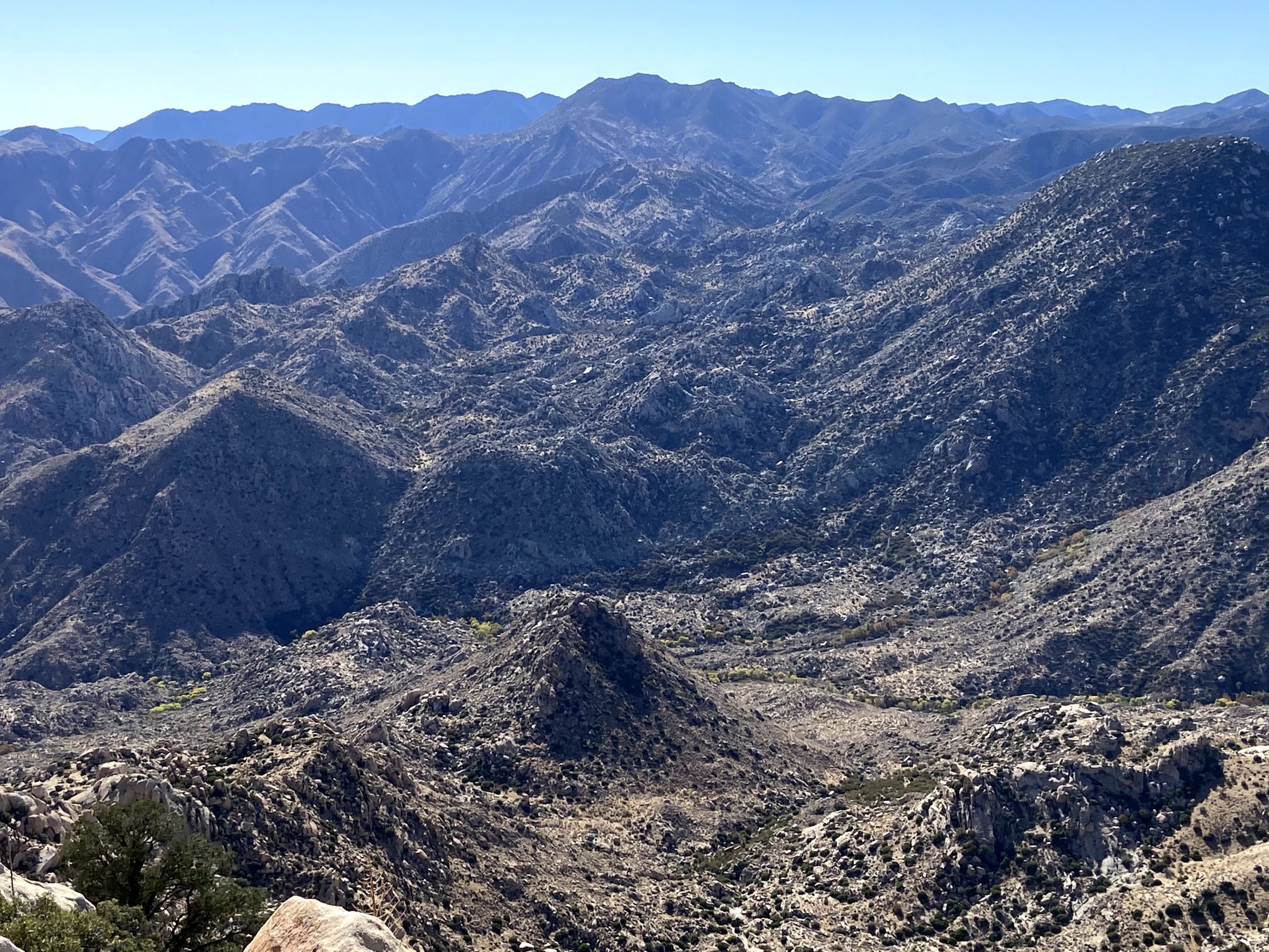
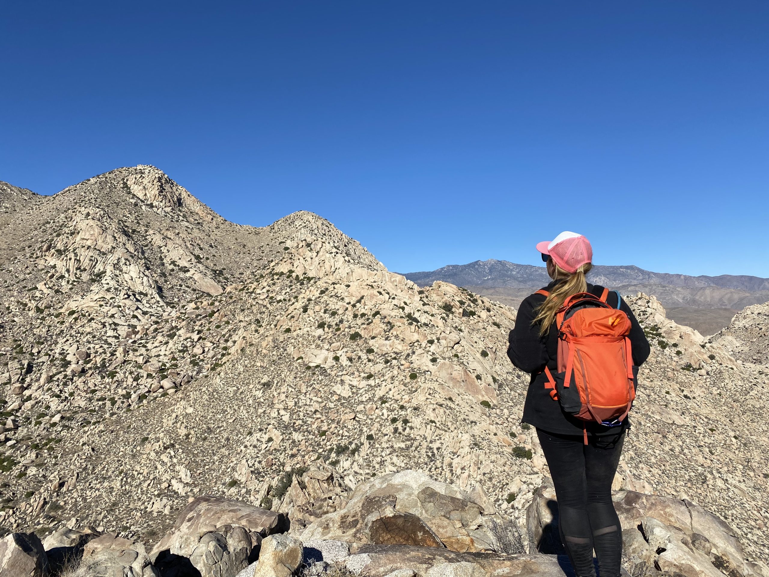
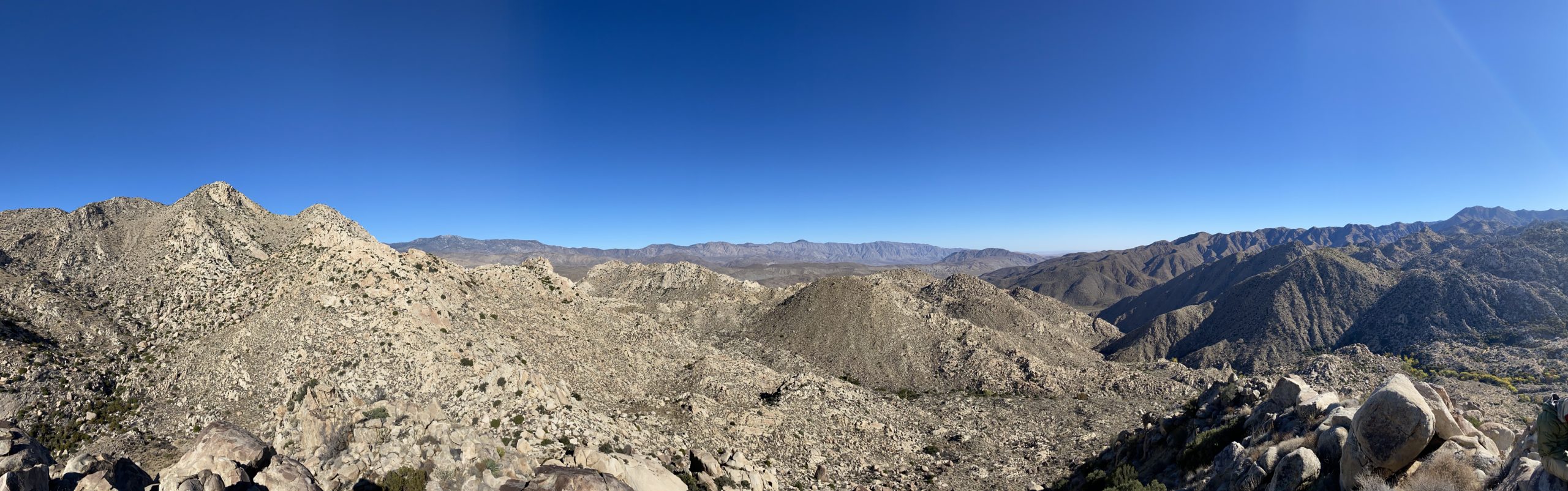
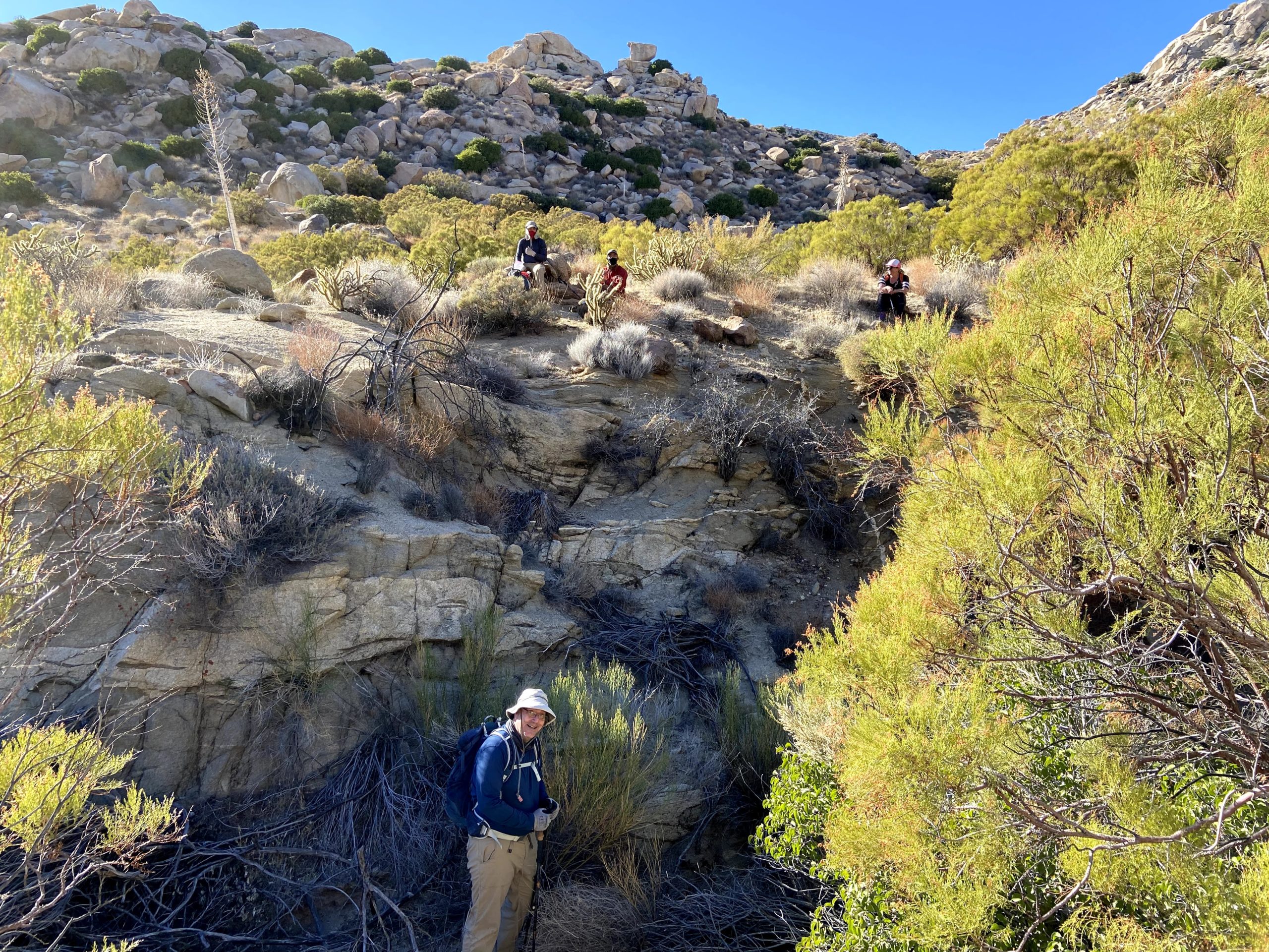
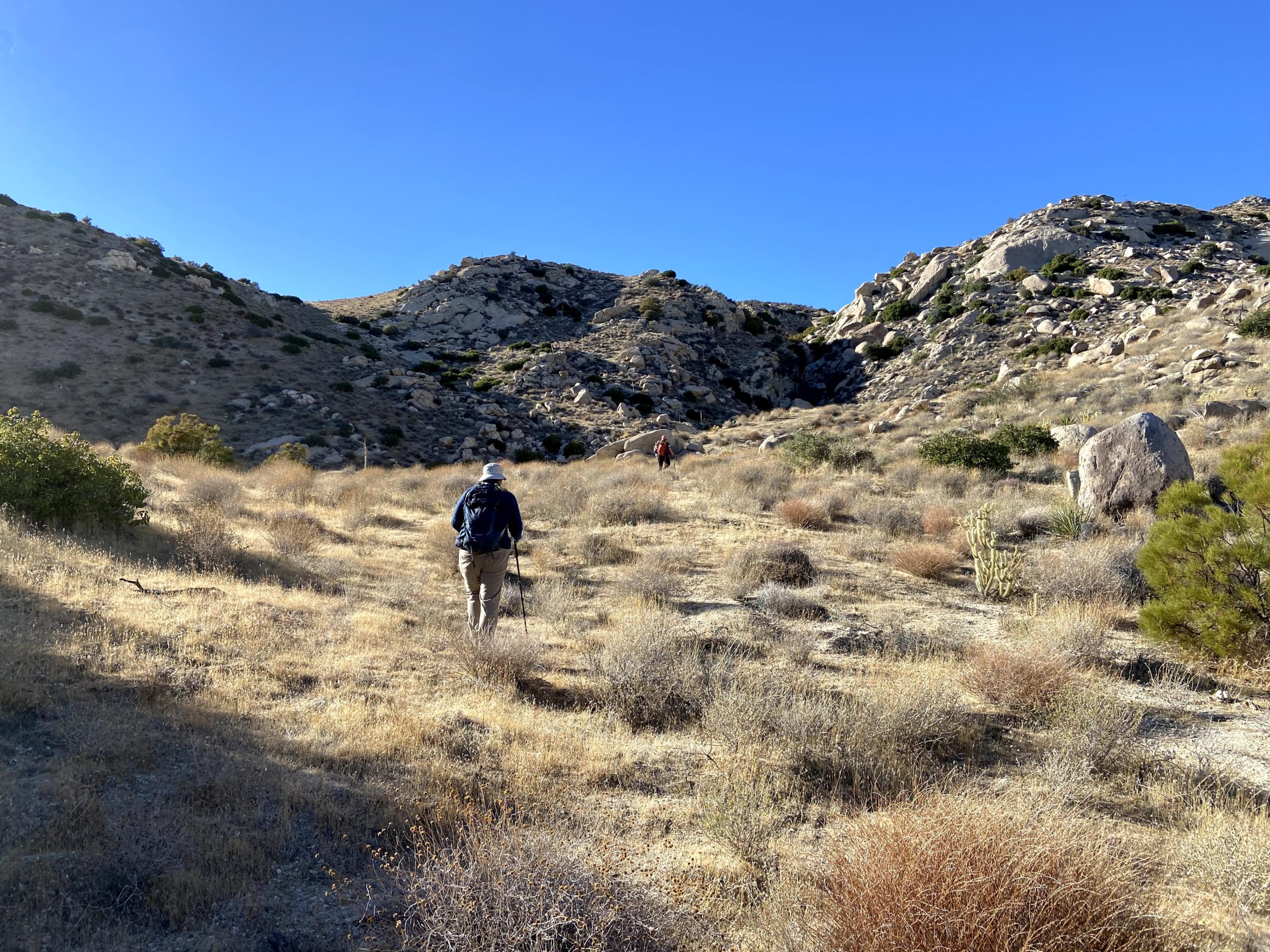
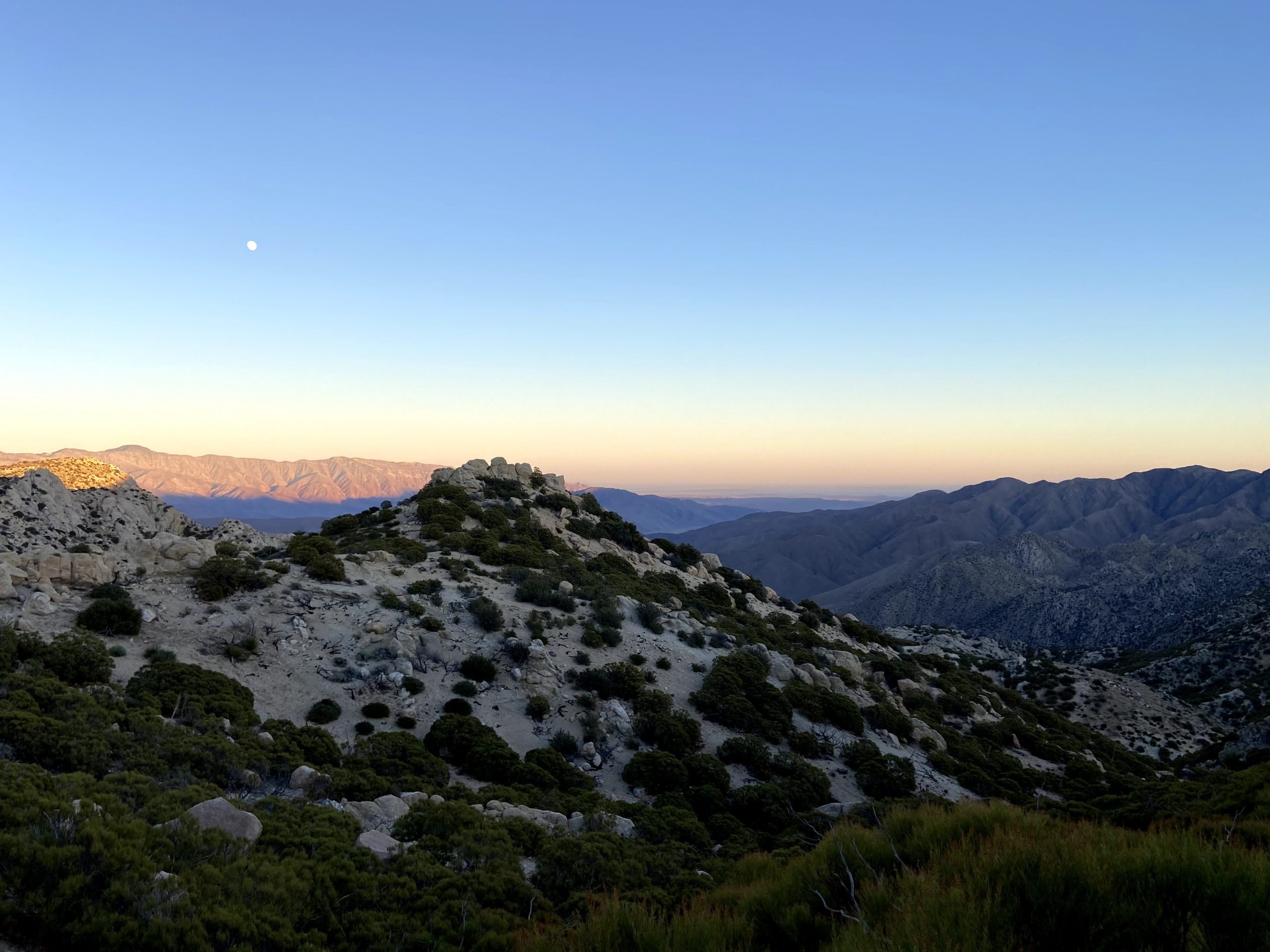
We quickly reached the “Big Rock”, and now our adventure would truly begin. The first part of the hike would take us through a mixture of light brush, down various washes, and over gulleys. Since this is an inverted hike, we all knew that we would have to work our way back up upon our return. Our route did encounter one dry fall that required us to go around but beyond that, there were no real obstacles in this section of the hike. Our next waypoint was an old firebreak that would provide an easier path for us. Matt guided us there with no issues. It was nice not having navigation duty for a change. As we continued to work our way eastward, familiar peaks stood out to our south; Hot Springs Mountain, Pike, San Ysidro East, and eventually SquareTop. Rather than following Greg Gerlach’s track to the north of an unnamed bump, Matt followed his previous route to the south. This hike was going to be a lollipop hike, with this saddle serving as our reconnection point. After a short break for some fuel, Matt, Ted, and I each stashed some water for our return. We would now start to get our first views of Collins and Knob sitting below it.

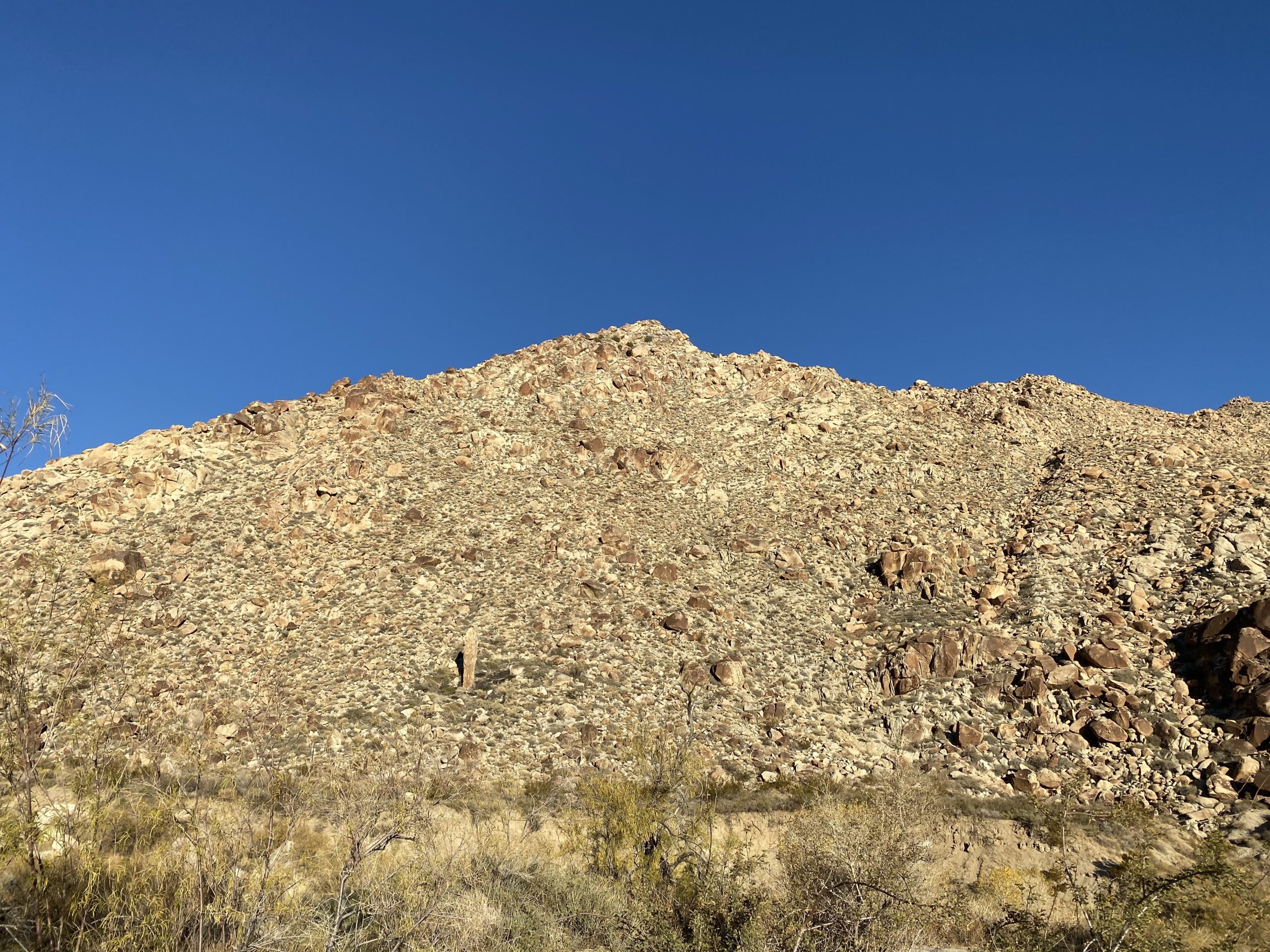
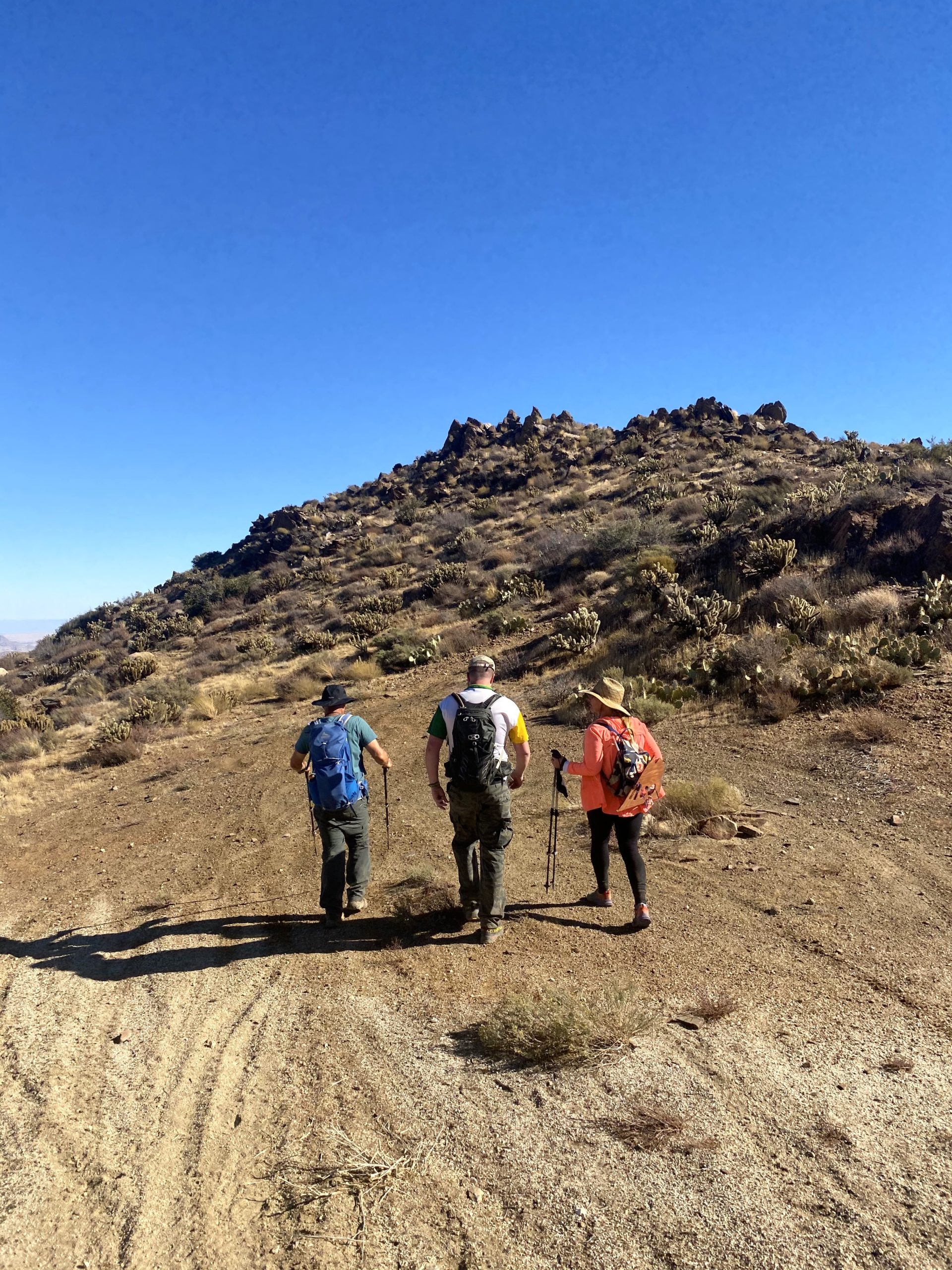
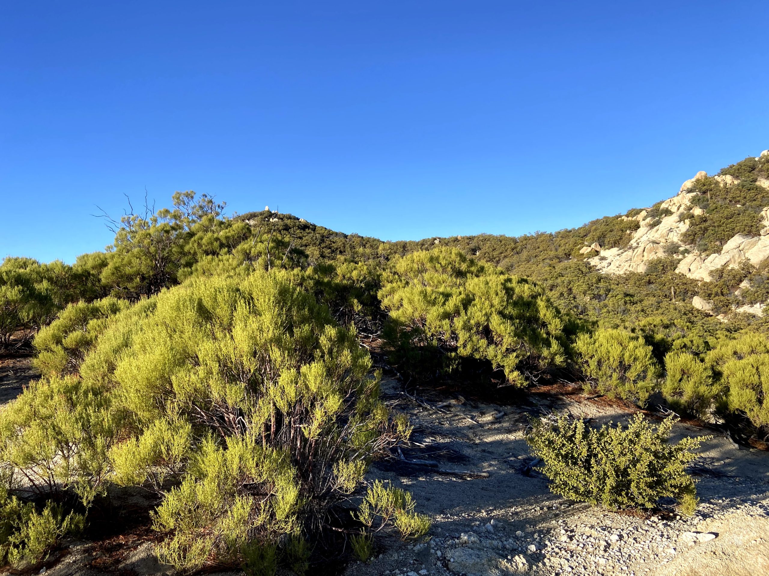
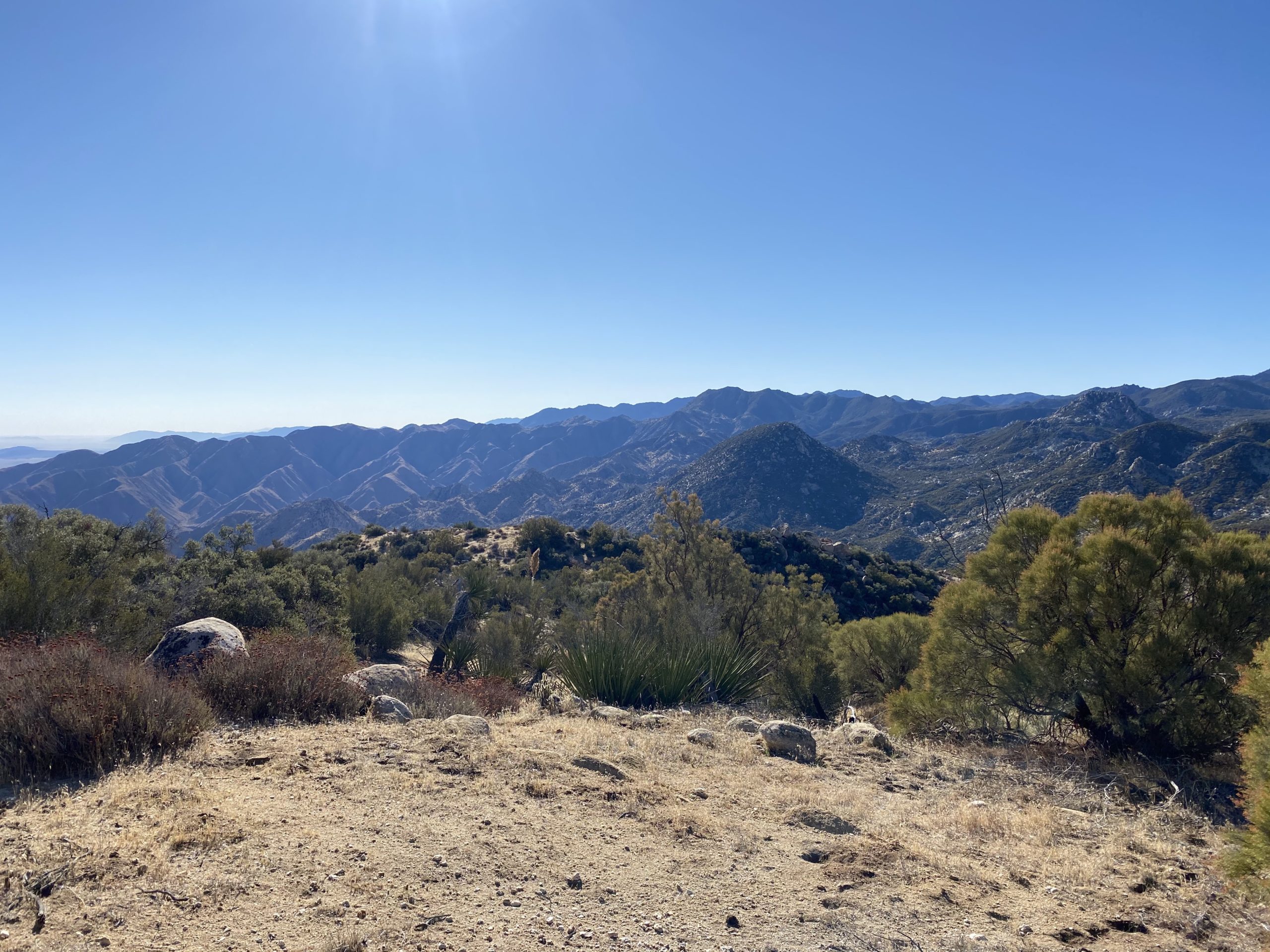
Our next waypoint was Peak 4695, but first, we had to go past a minor unnamed bump. We had some side-hilling that was not fun for a bit as we made our way toward it. Looking back at both routes on Google Earth, I am curious if we reconnected with Greg’s route near this point and gone over that bump, would it have been easier?

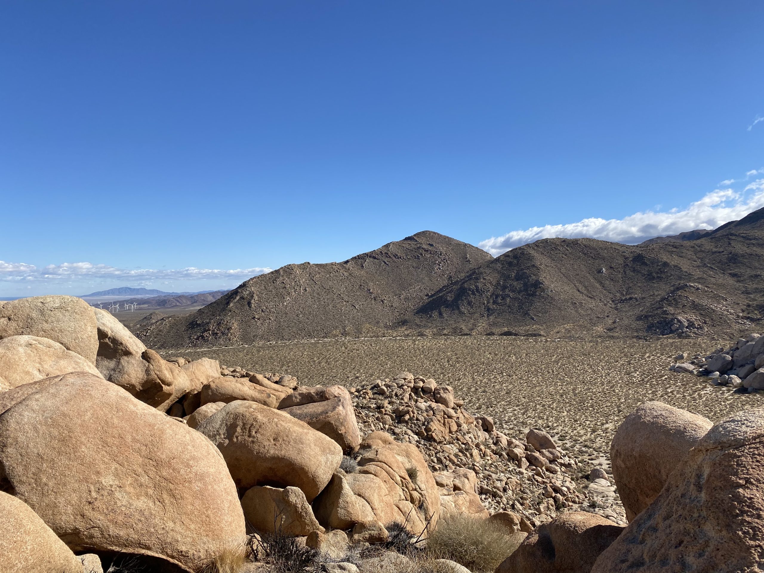
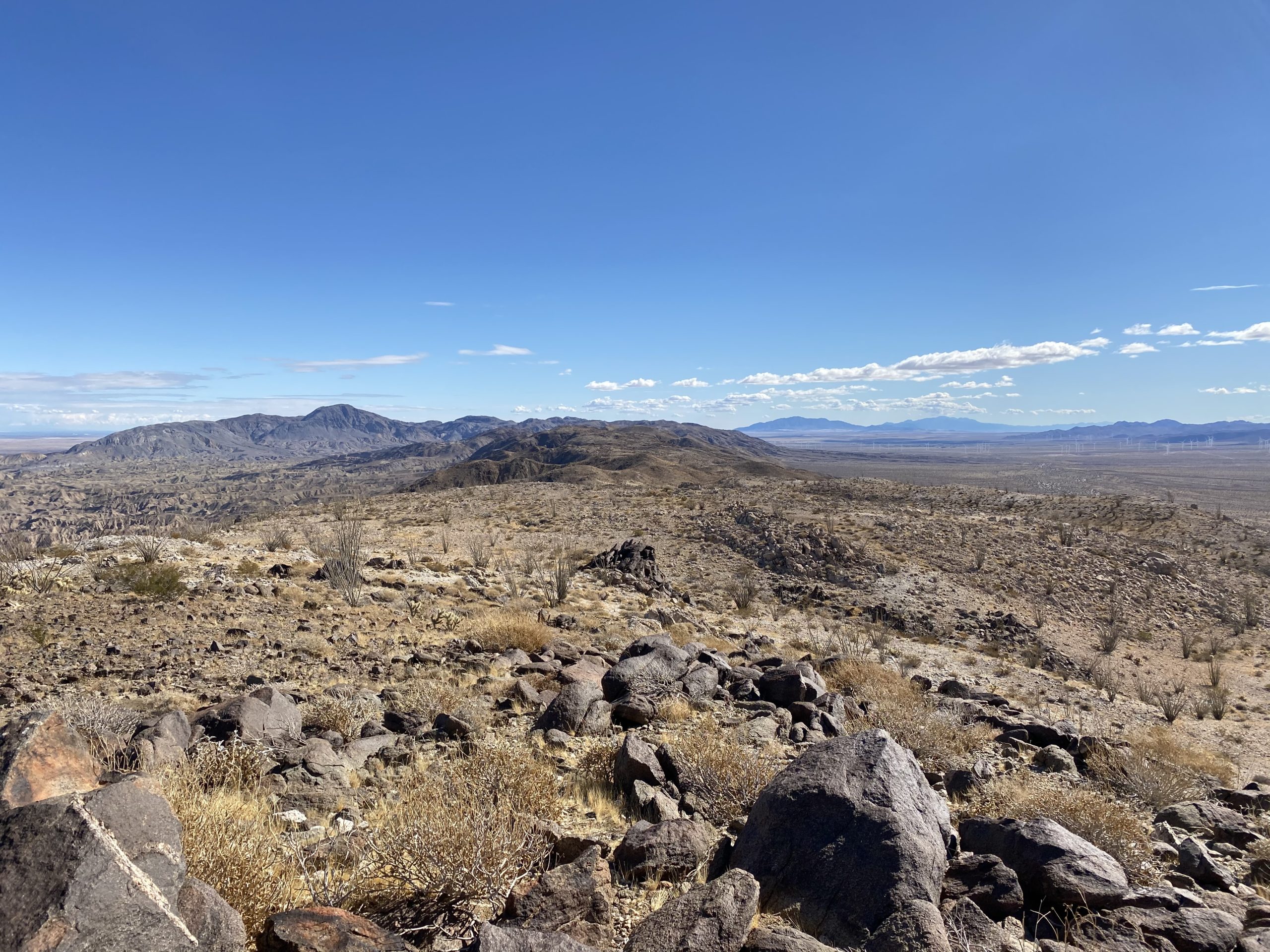
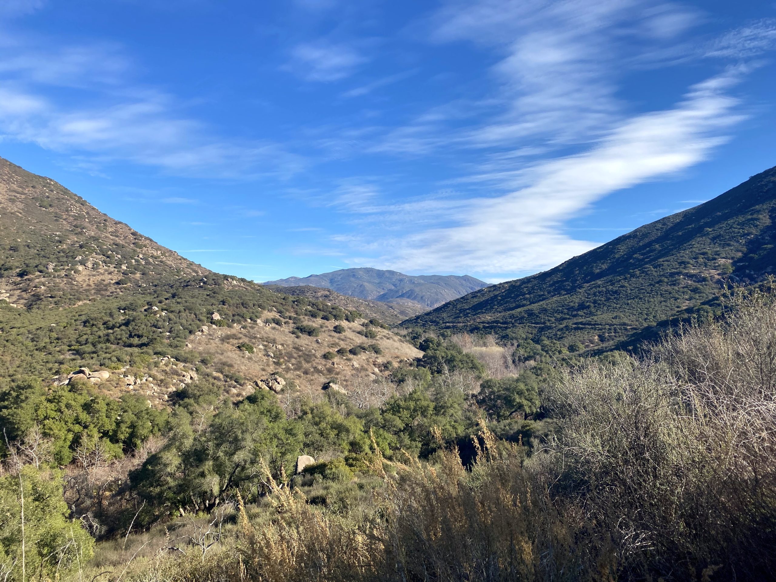
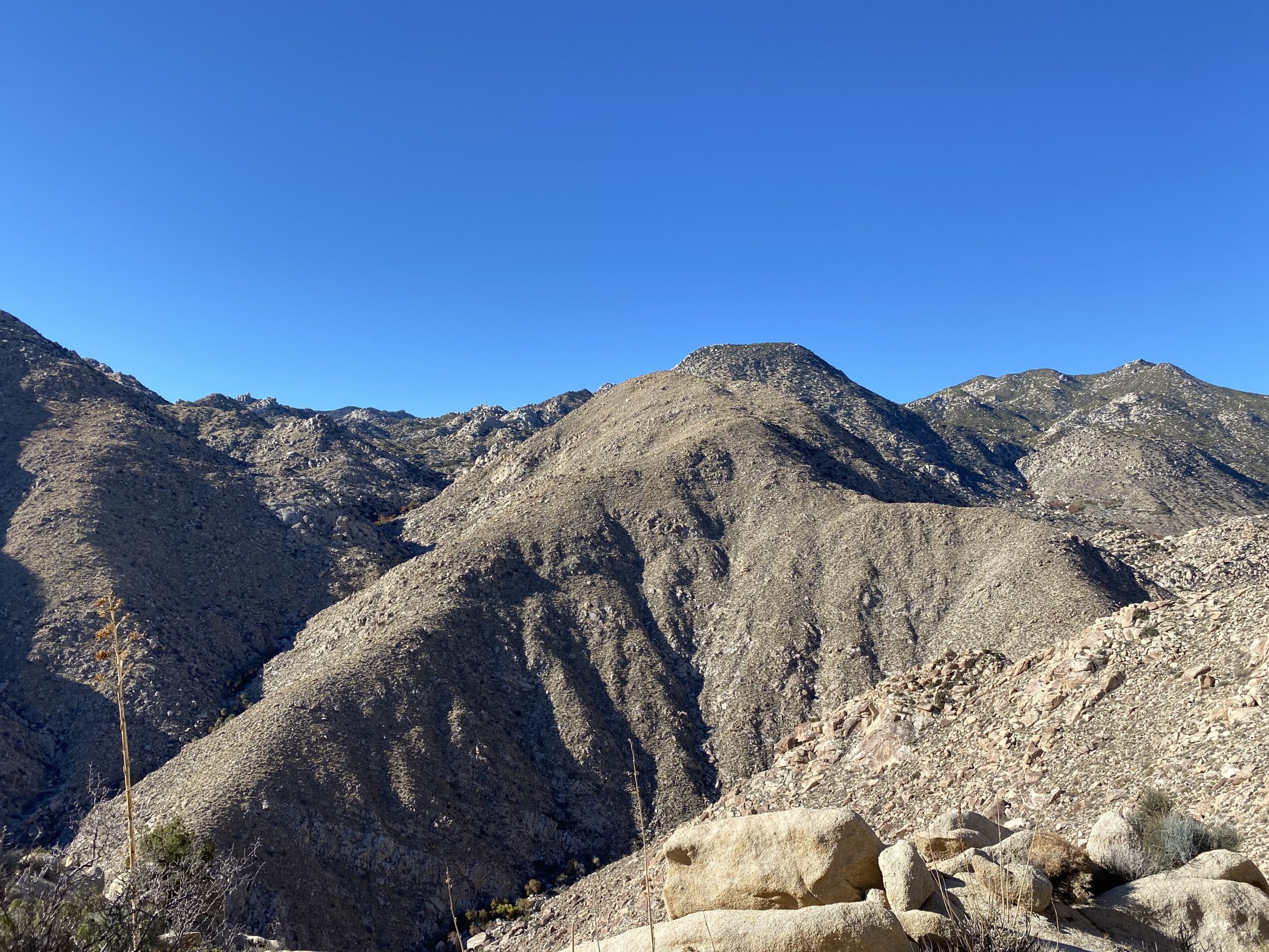
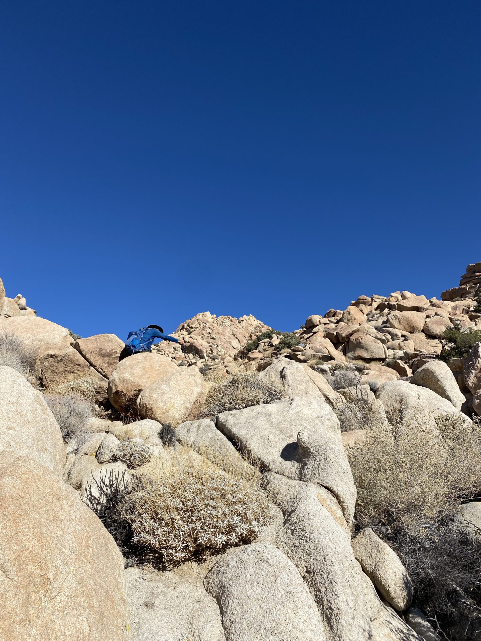
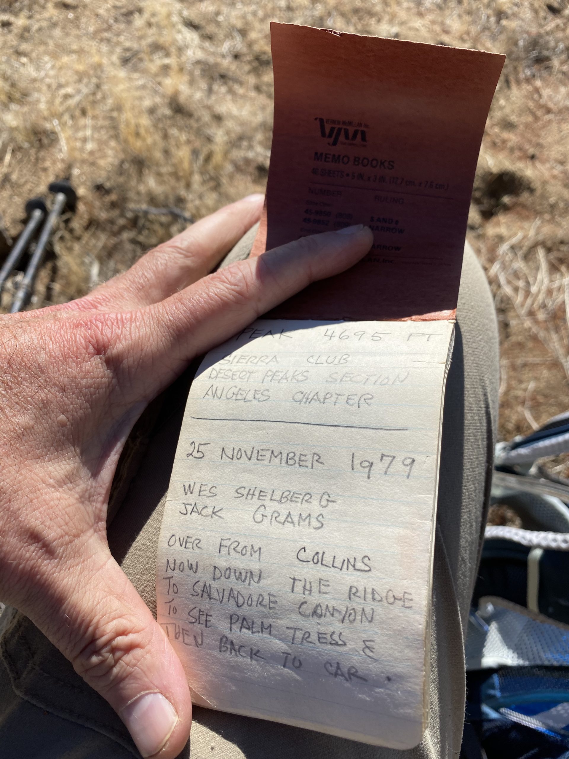
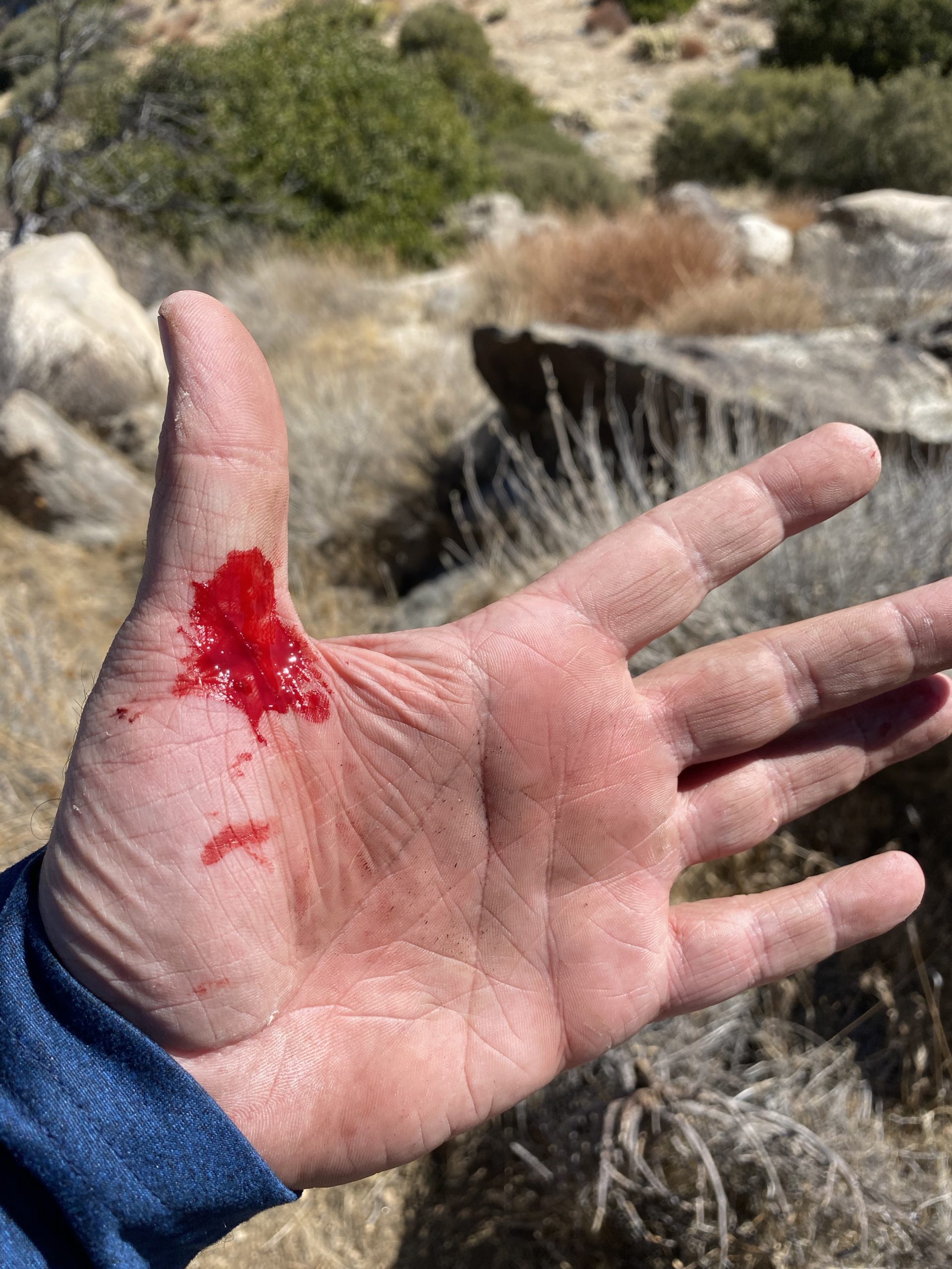
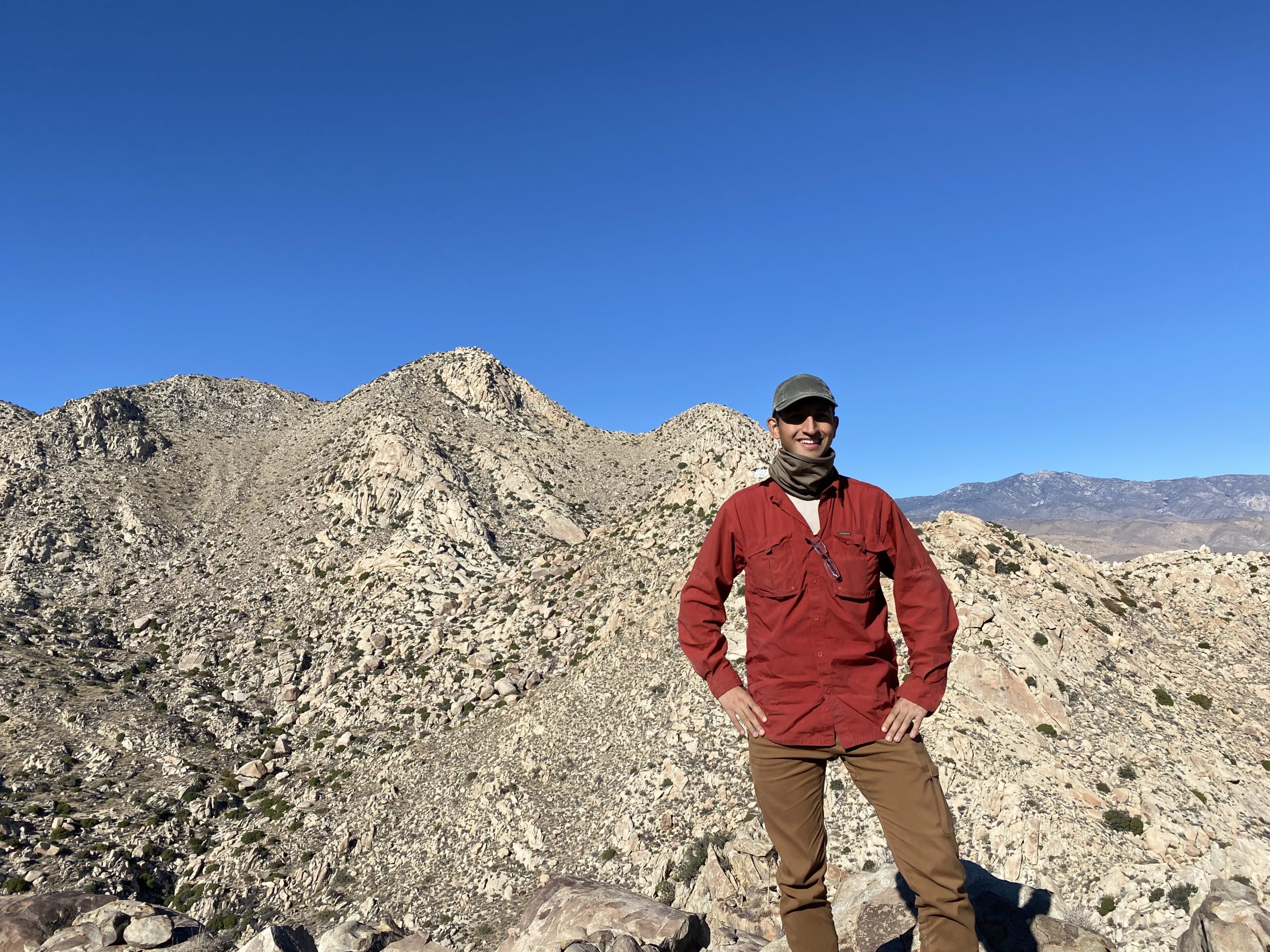
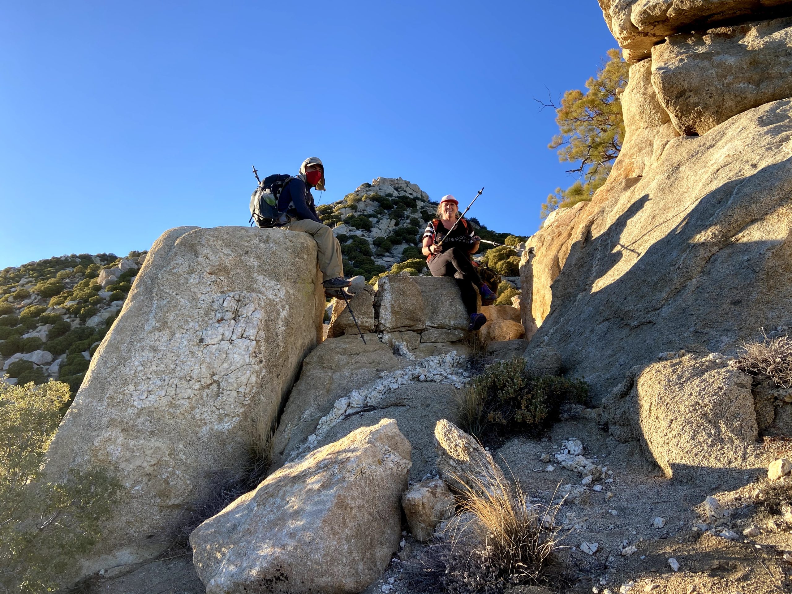
Once atop 4695, we took another break while grabbing a snack, signing the register, and soaking in the views. Collins stood about a mile to the east along a nice ridgeline. There were two steep sections that needed to be climbed before we reached its summit. Along the way, I slipped and cut my hand slightly. Dr. Ted was able to patch me up. I had just taken my rock gloves off at 4695. Oh well, lesson learned.

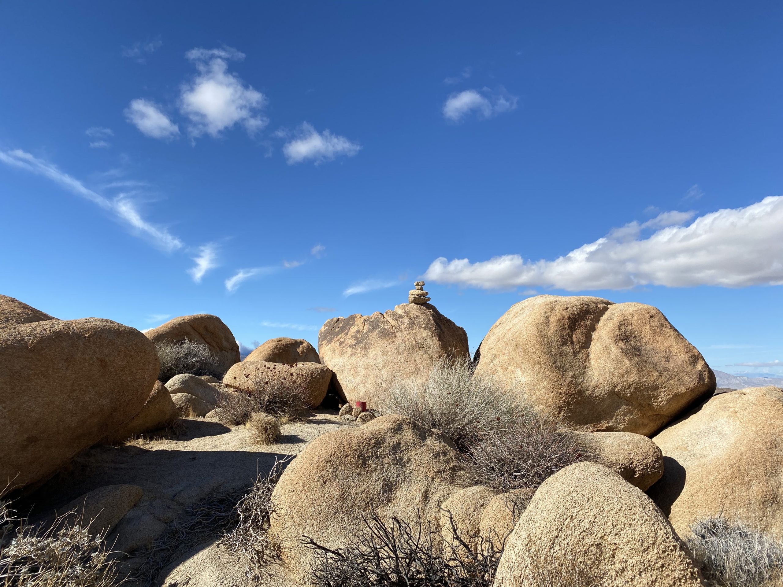
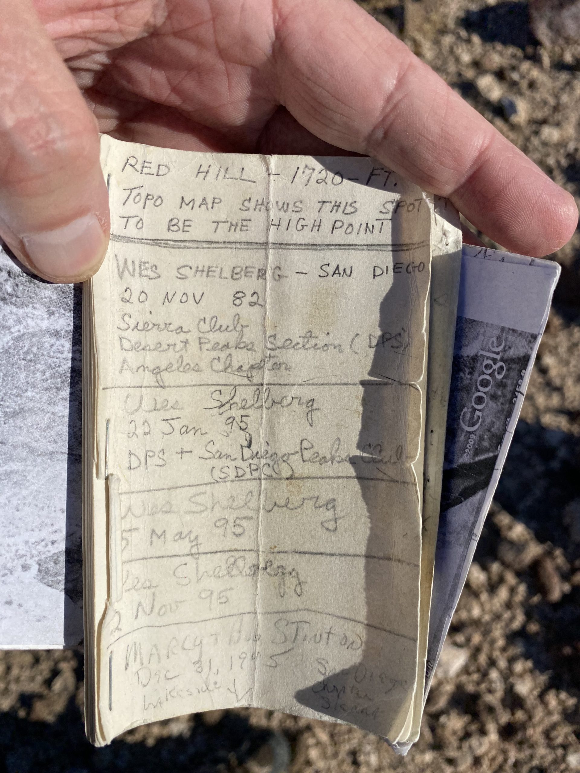
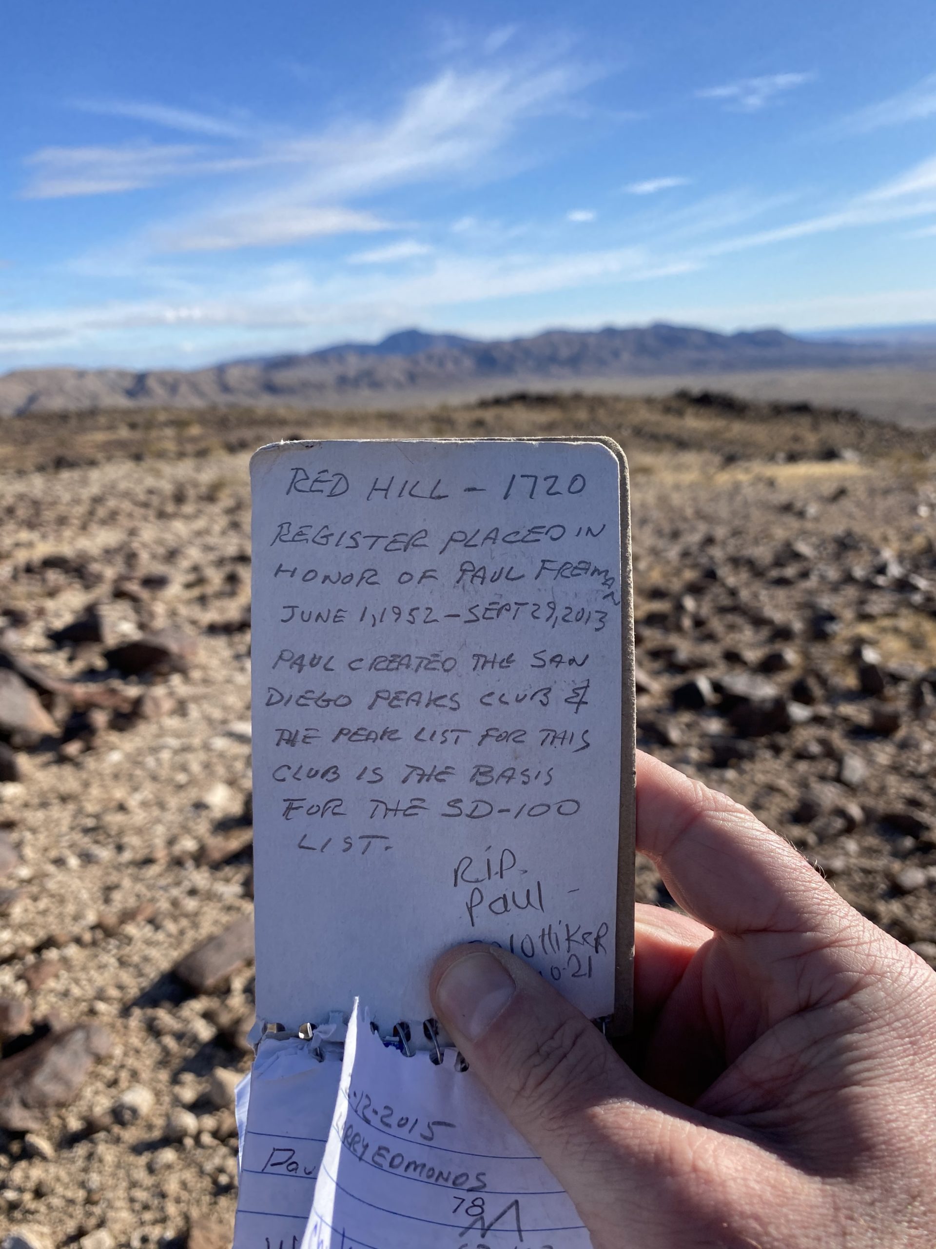
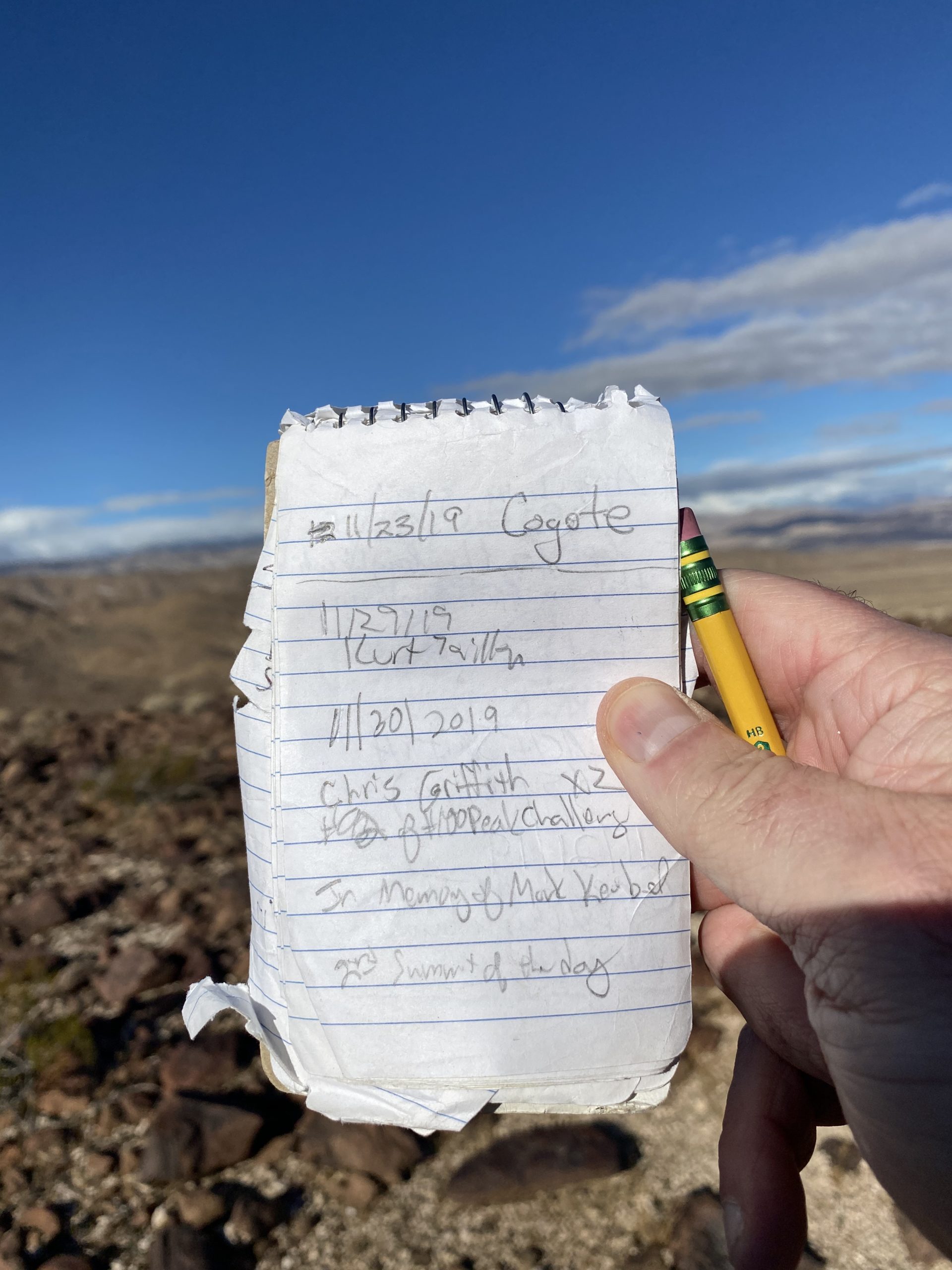
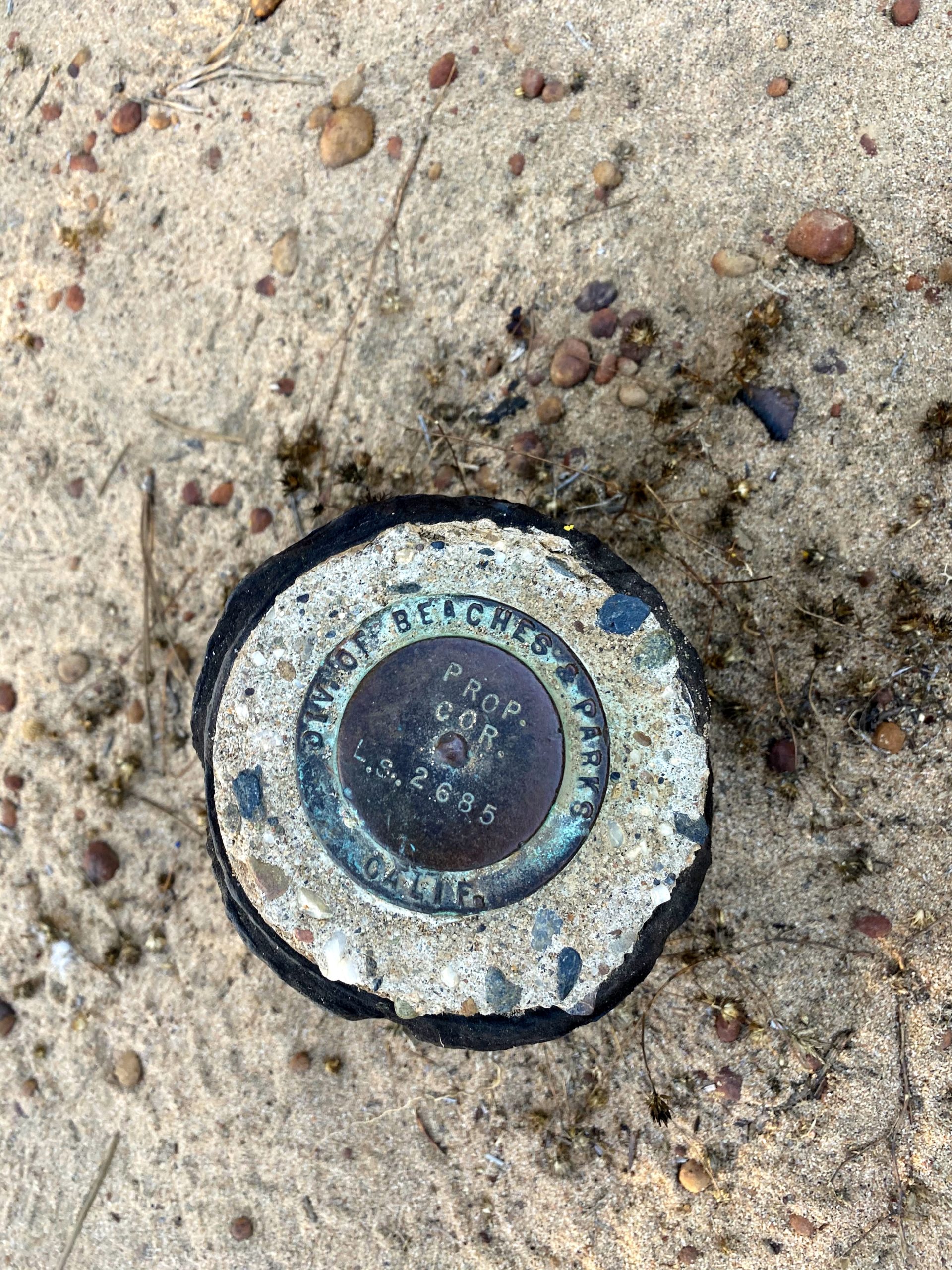
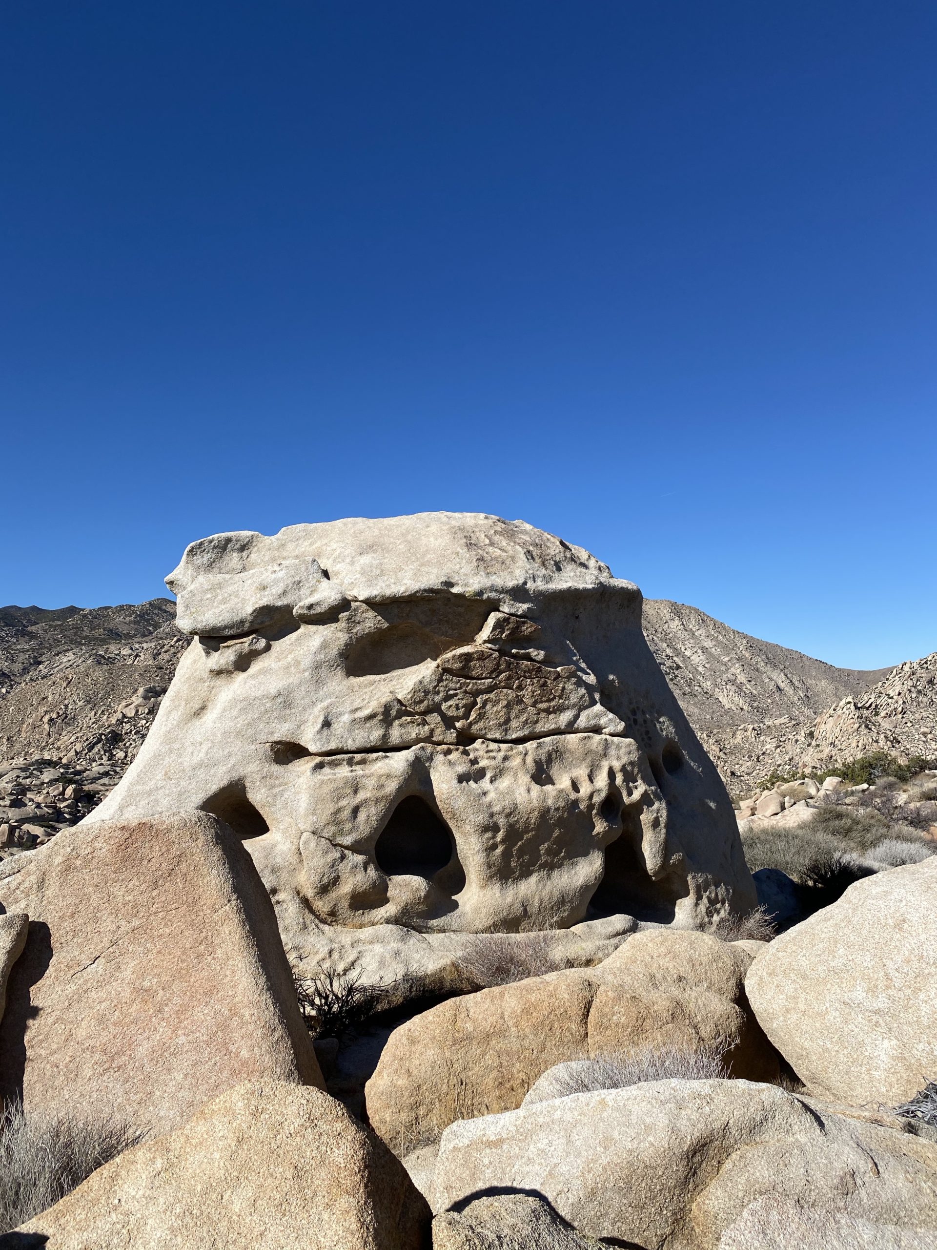
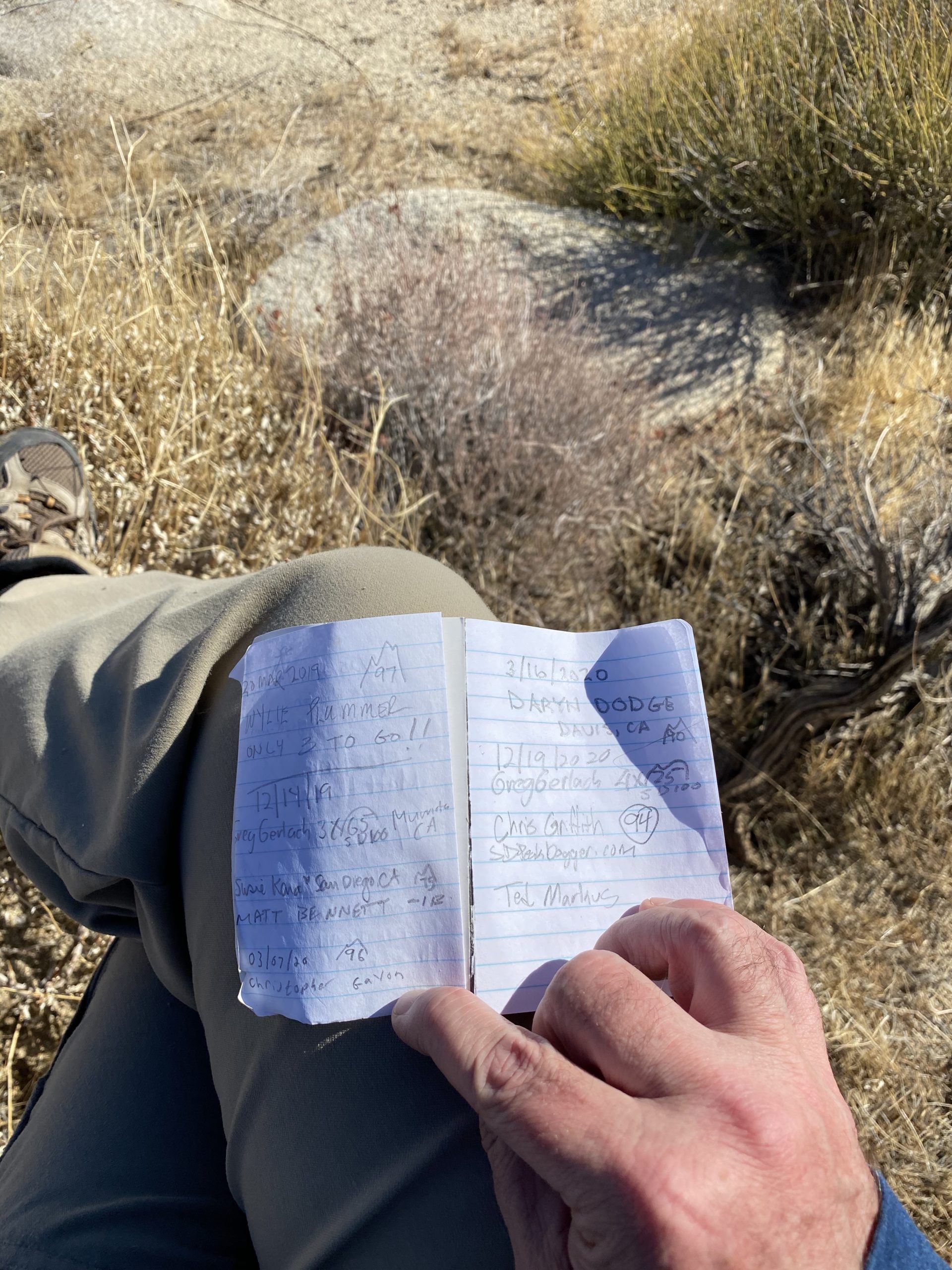
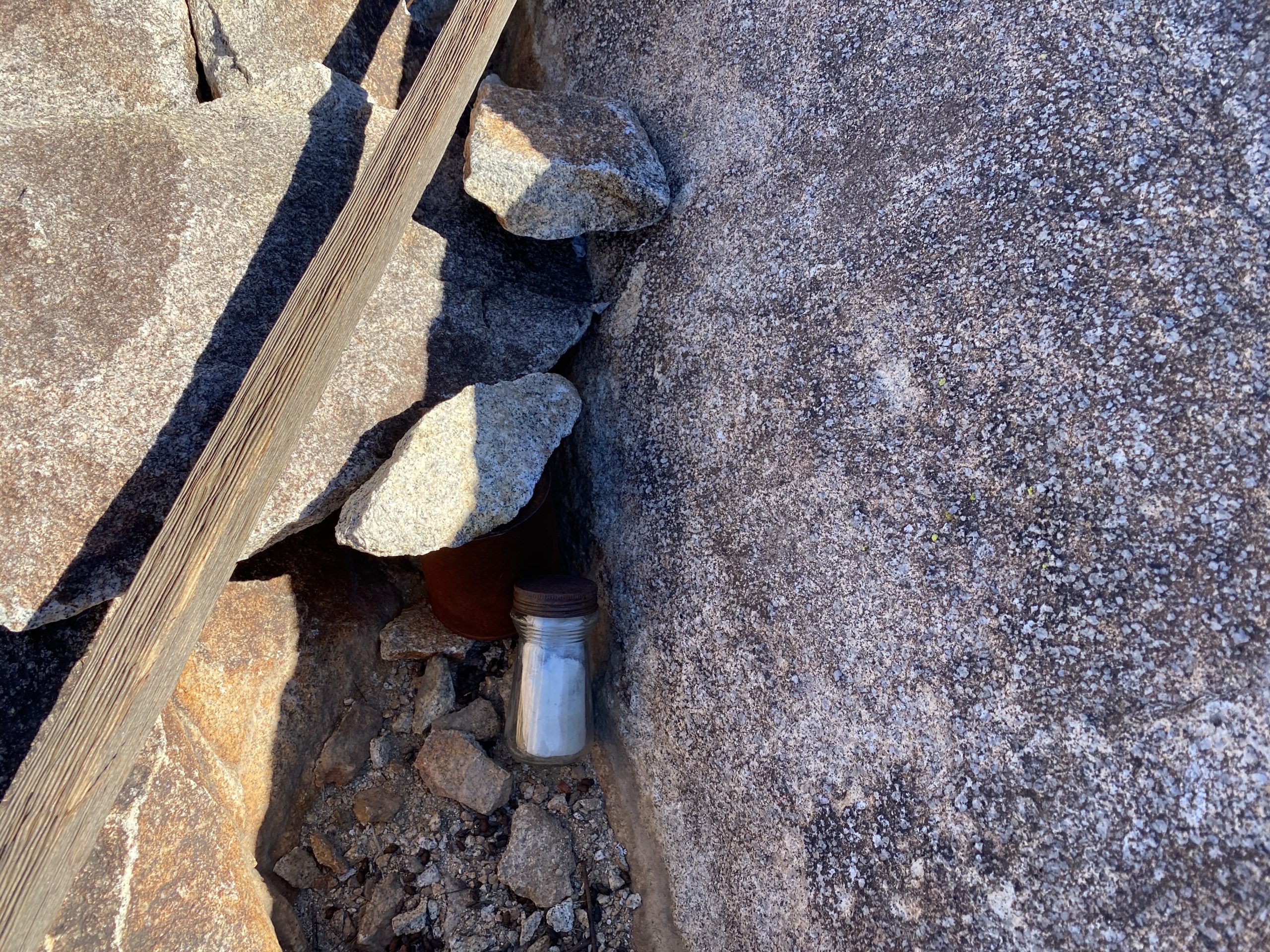
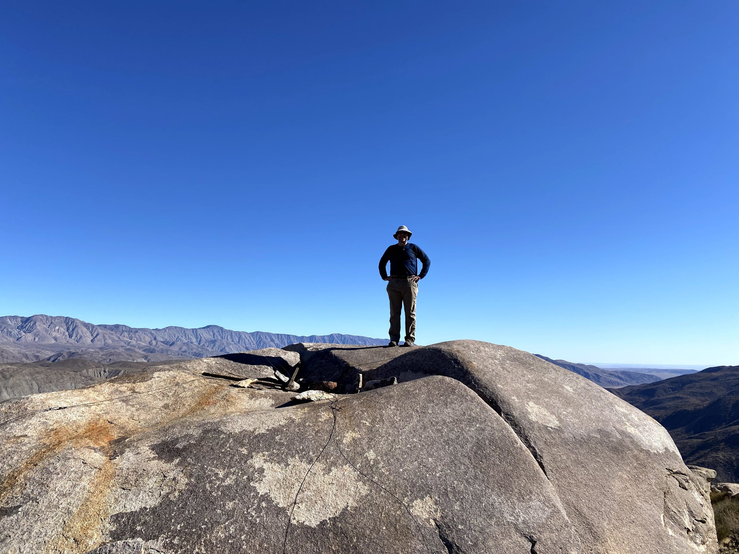
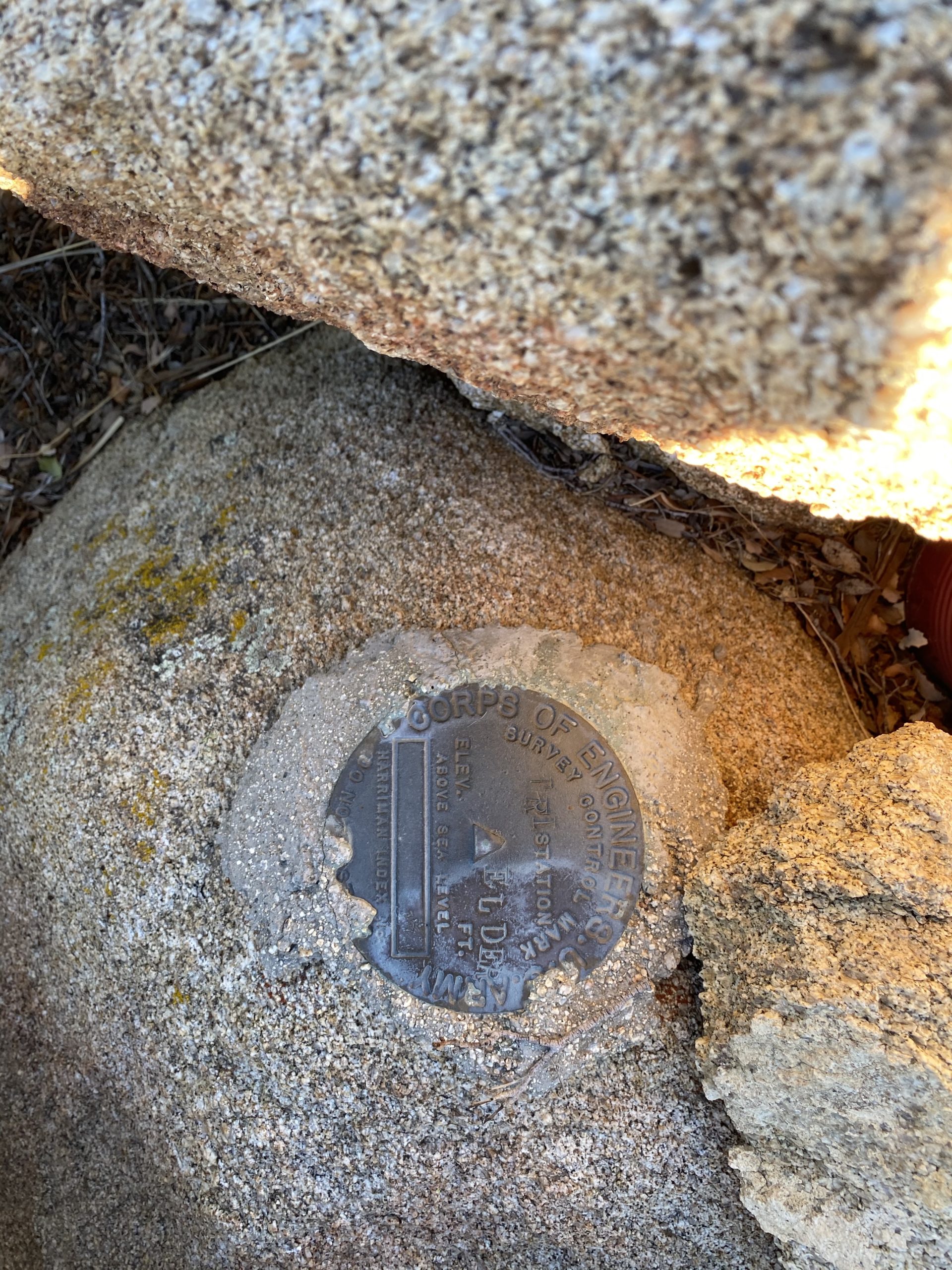
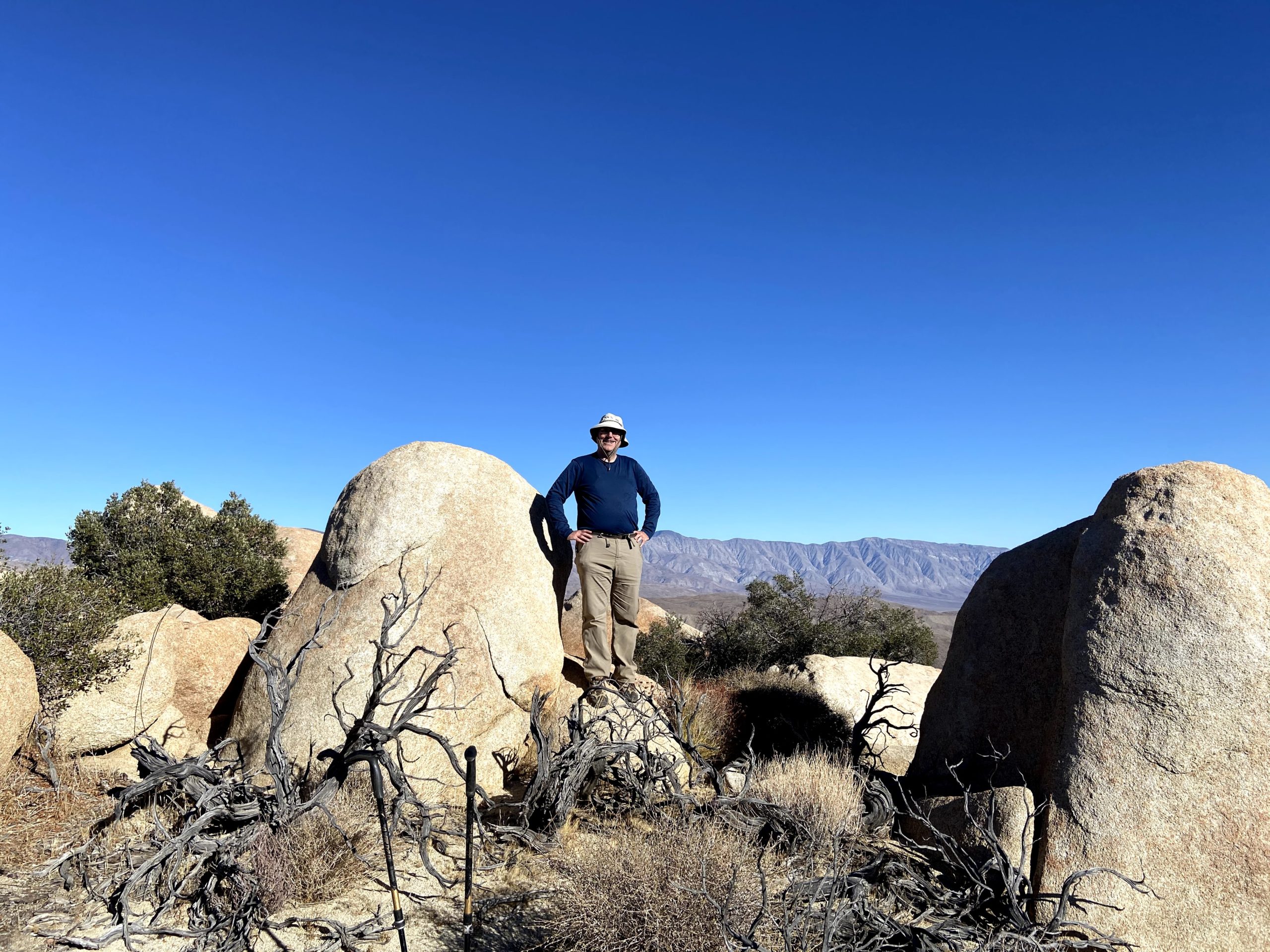
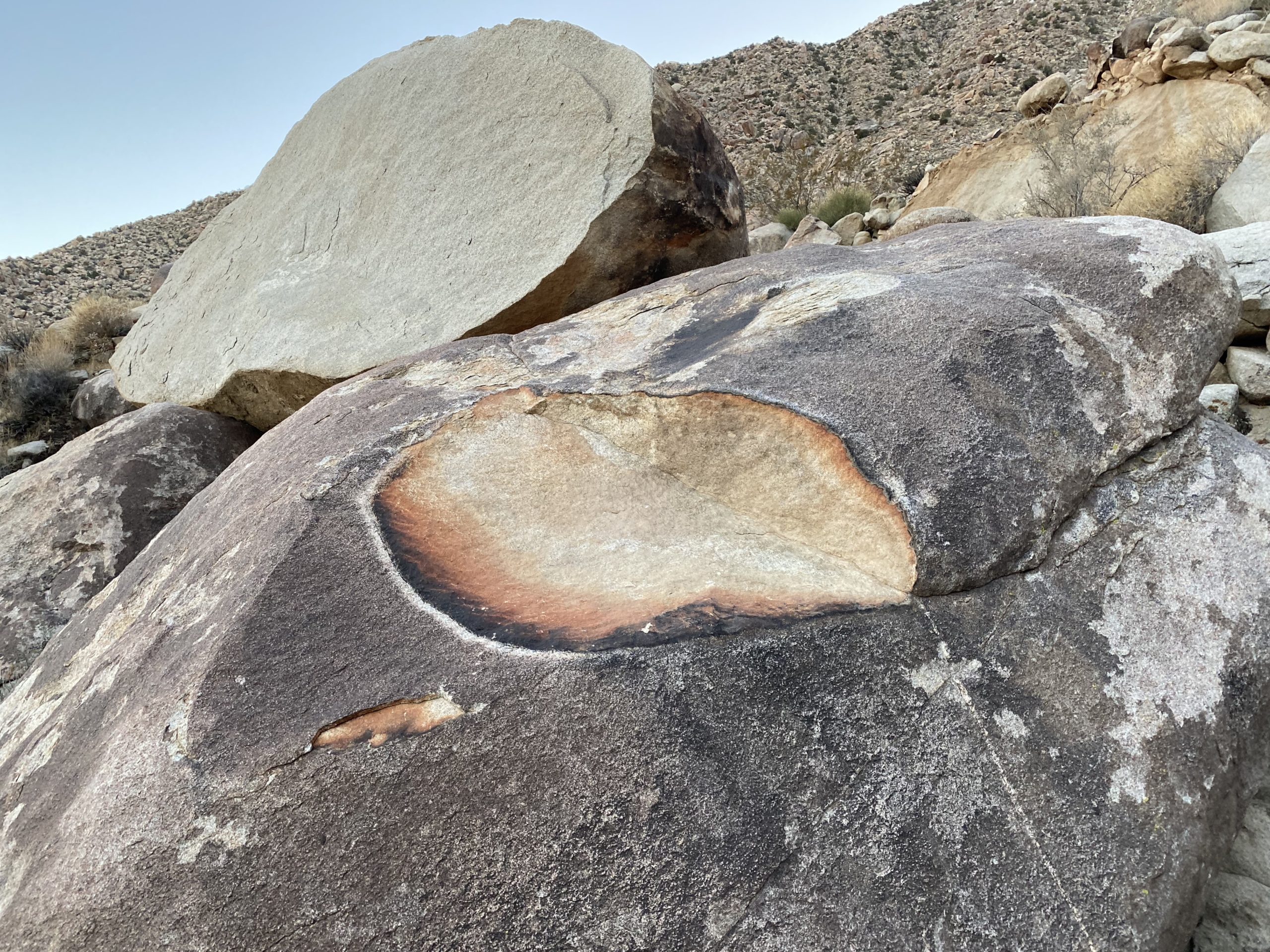
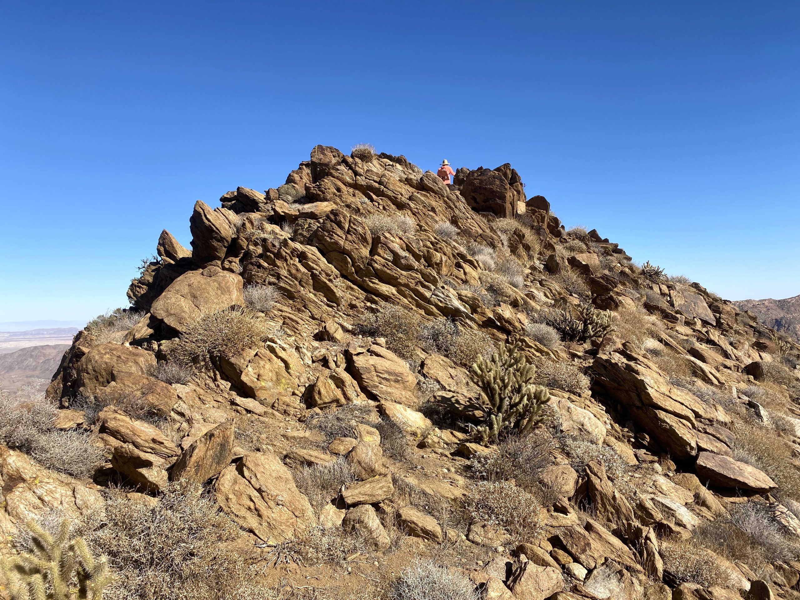
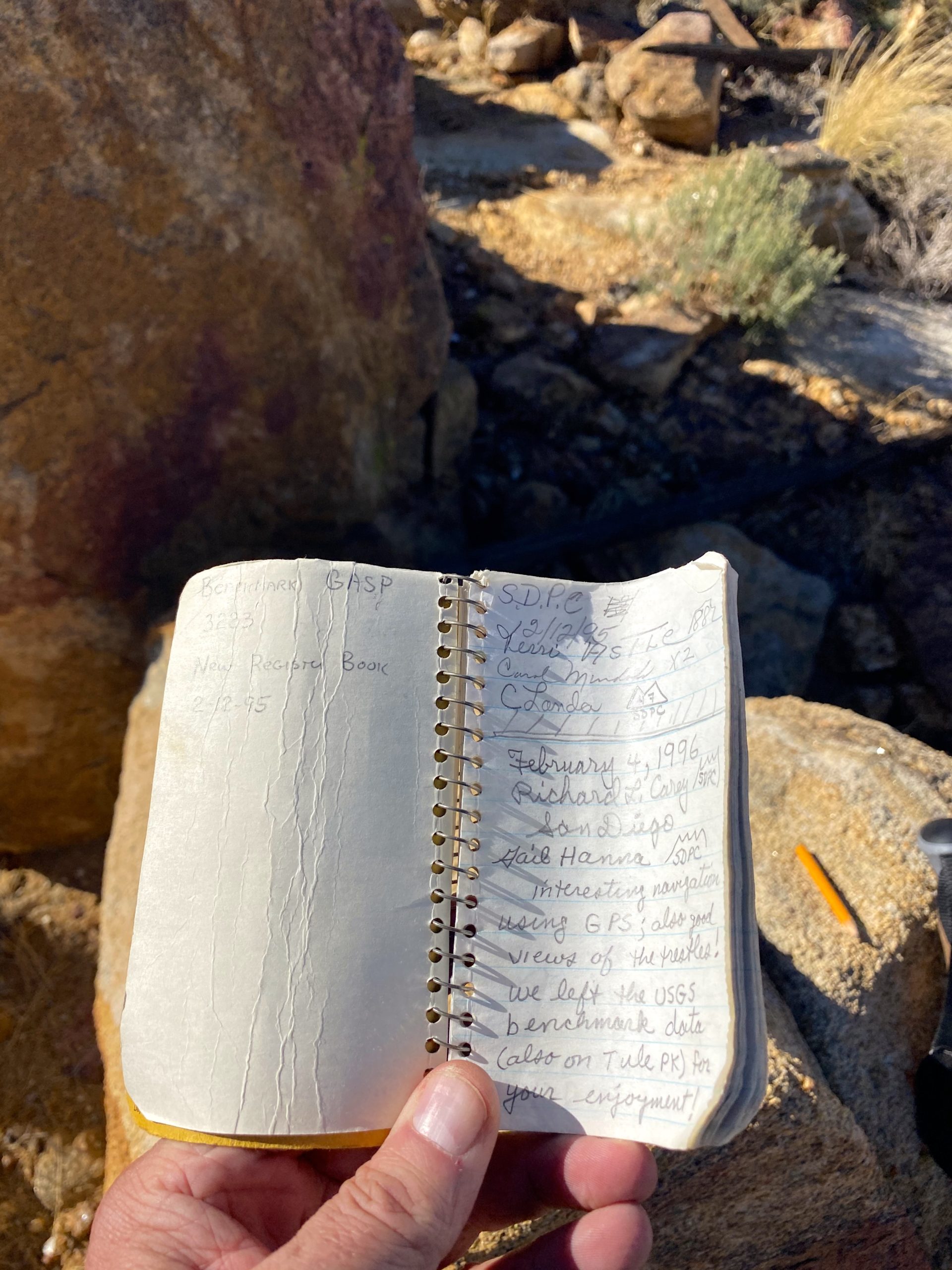
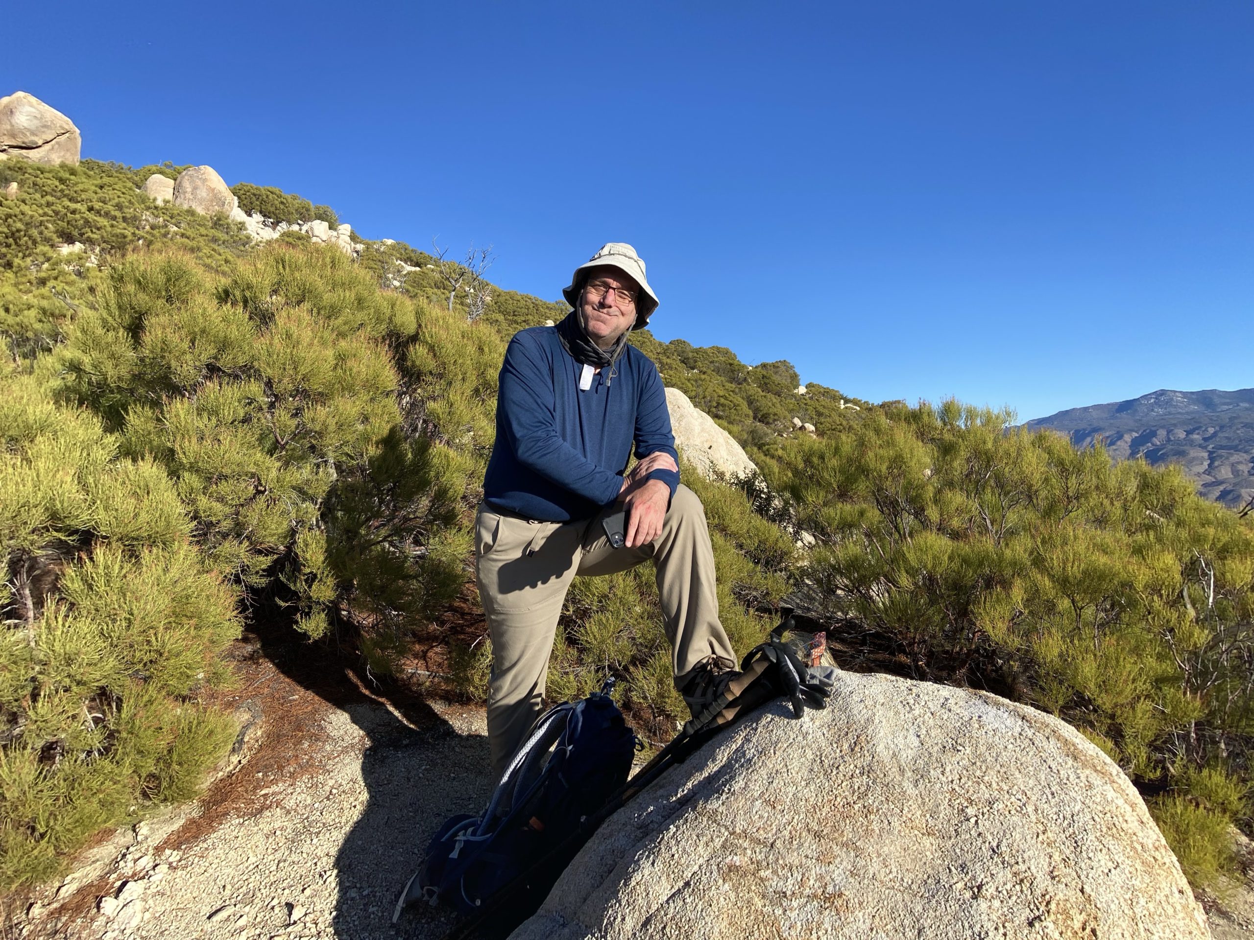
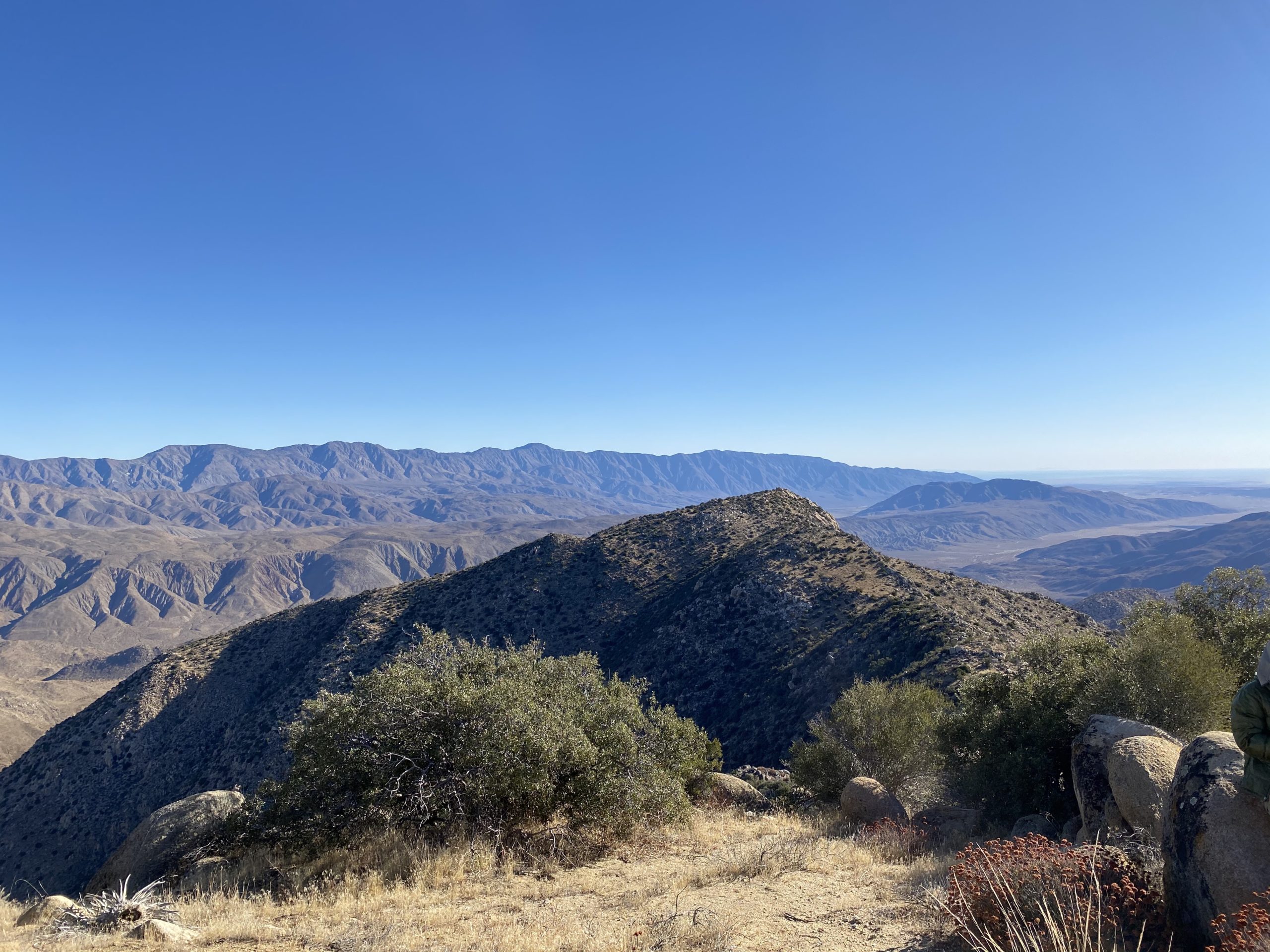
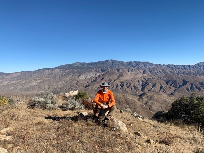
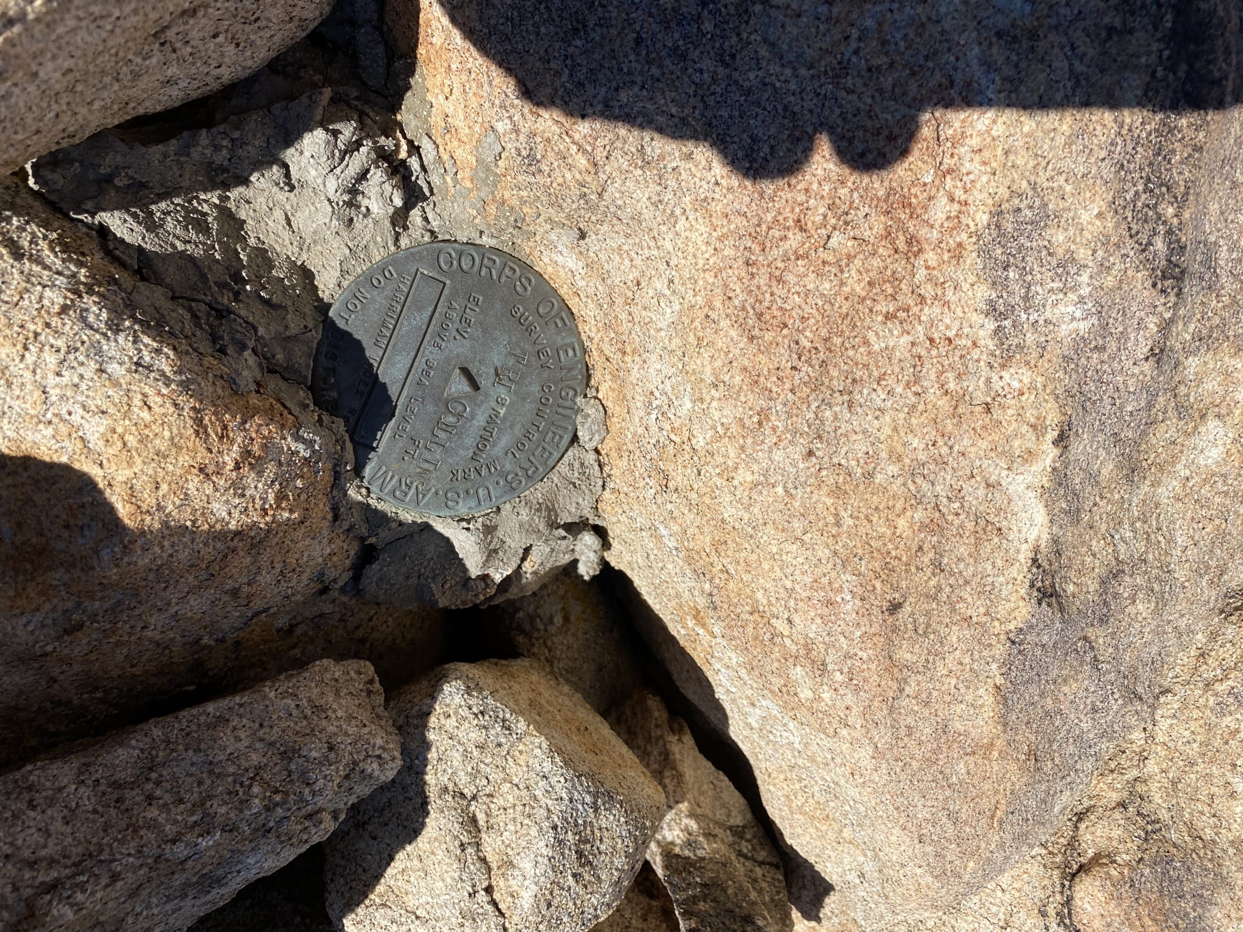
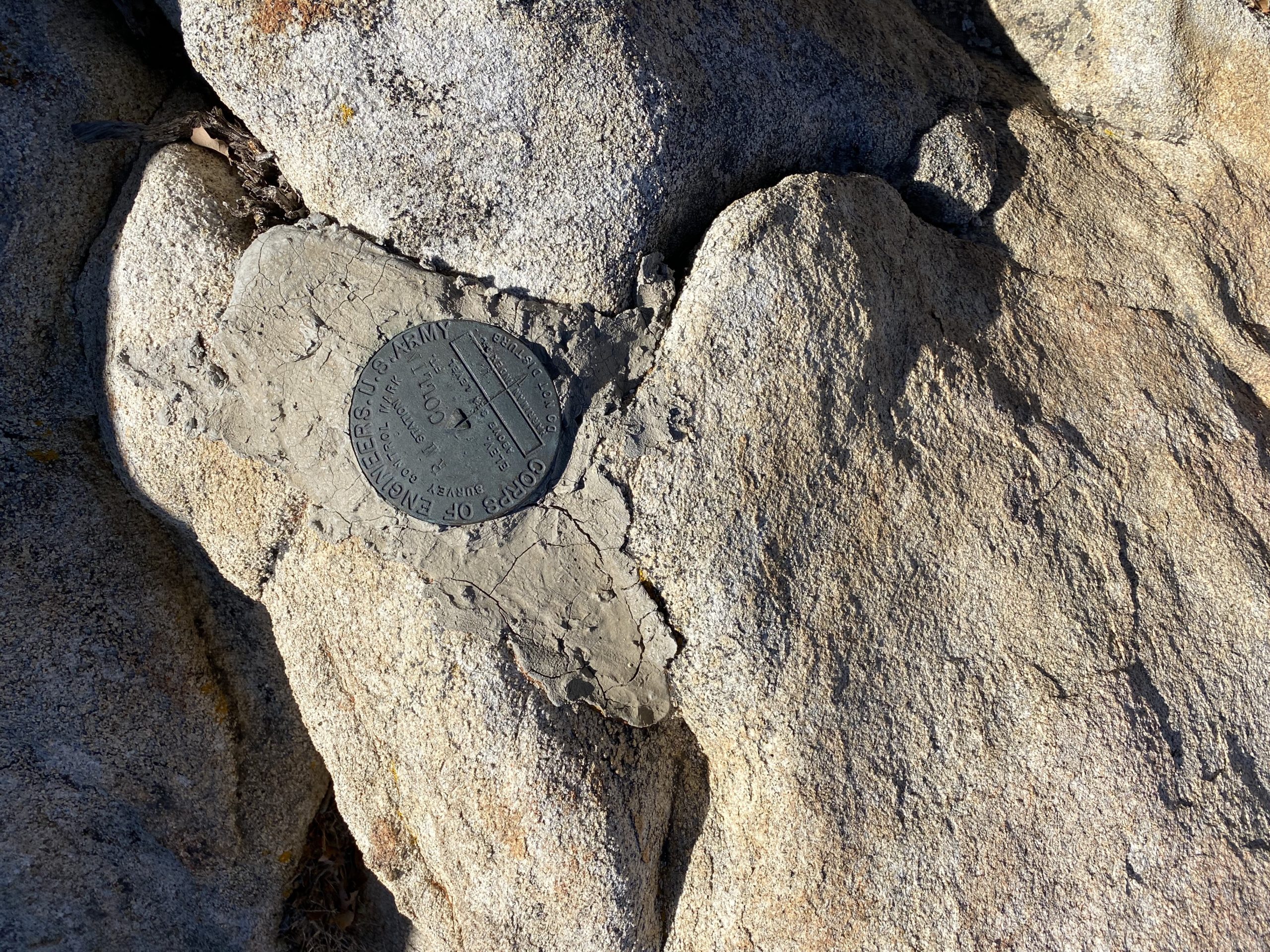
I huffed and puffed my way up toward the summit. Matt sat atop the actual summit block, while the four of us rested below. I ate some food and took a well-earned break. I showed Alberto what would have been our route had we come up from the desert floor. We signed the register, but the benchmark was not immediately found. Matt scampered around a bit and found it on the east side of the summit block. I really did not feel like scaling up and over it, but there was an easy path along the north side, so I was able to get to it and snap my photos. I knew that the real challenge of this hike was about to begin.

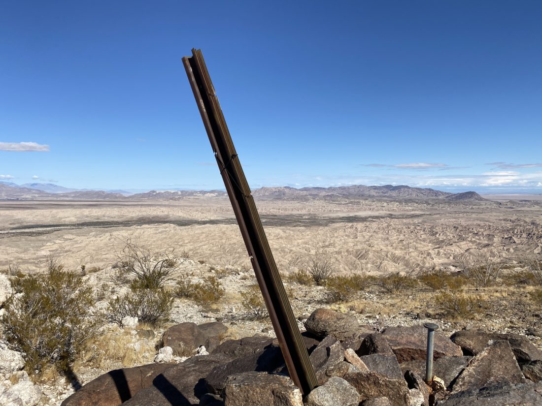
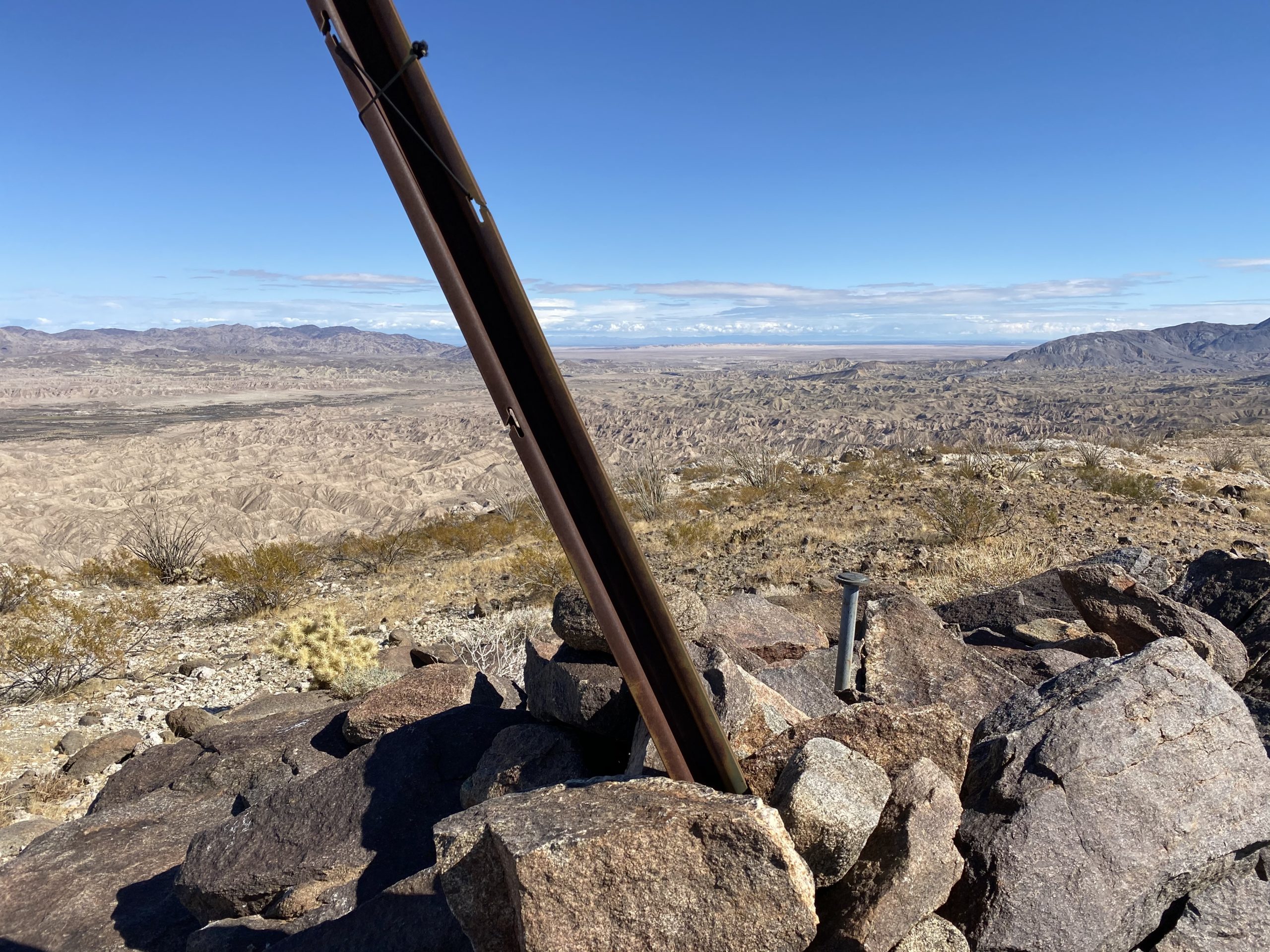
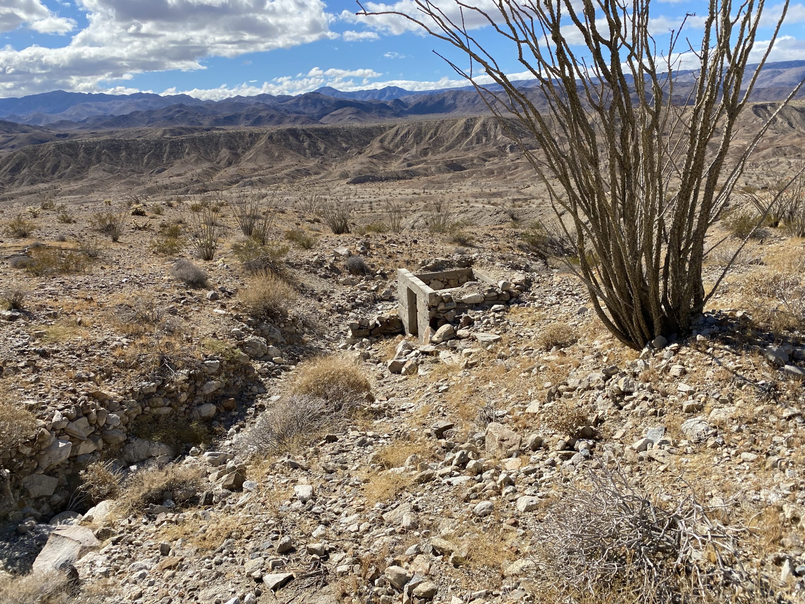
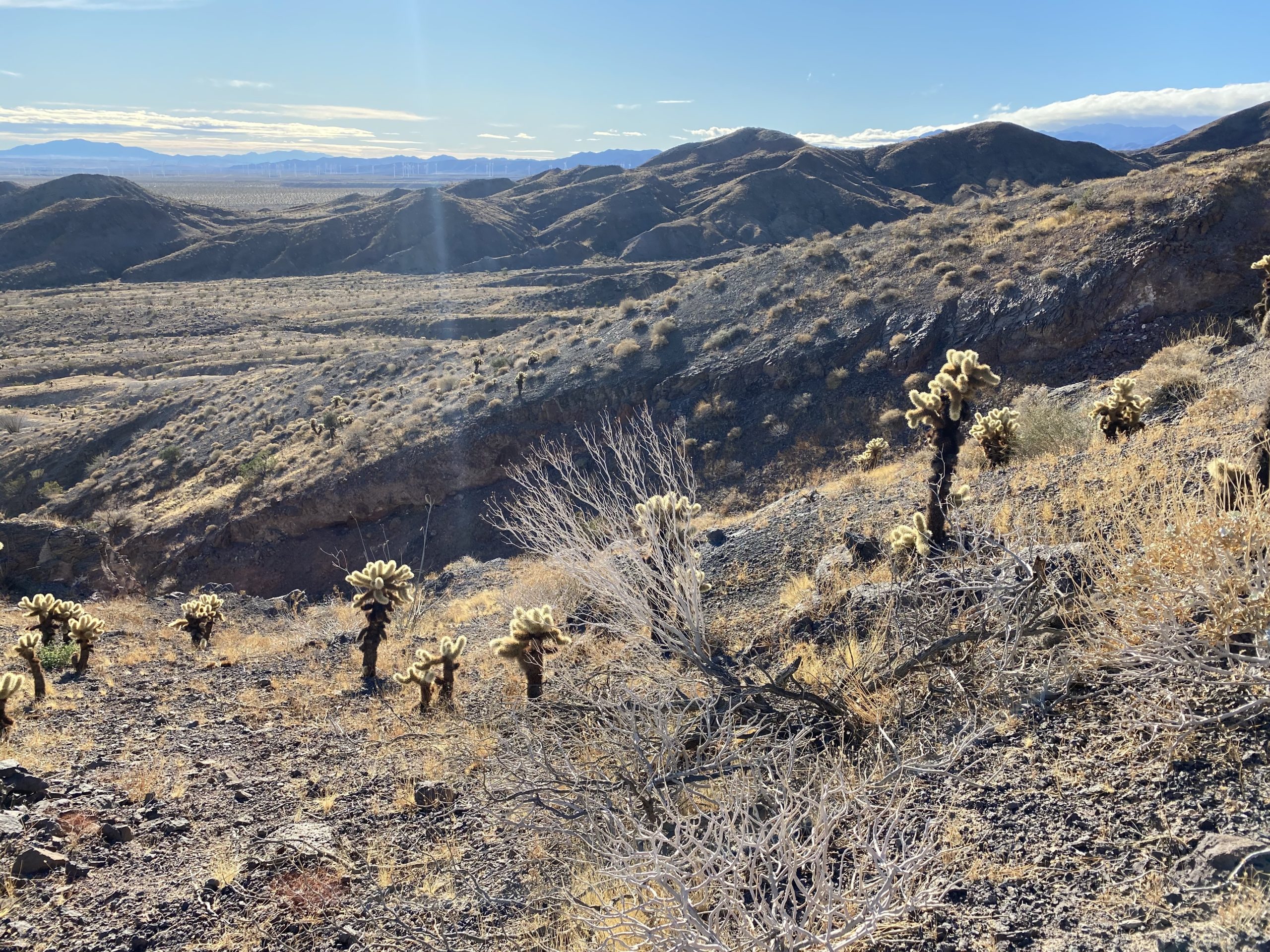
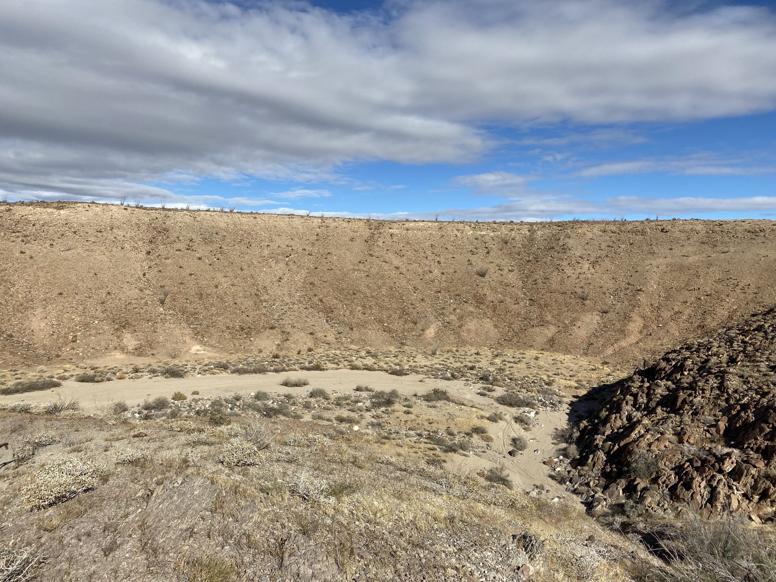
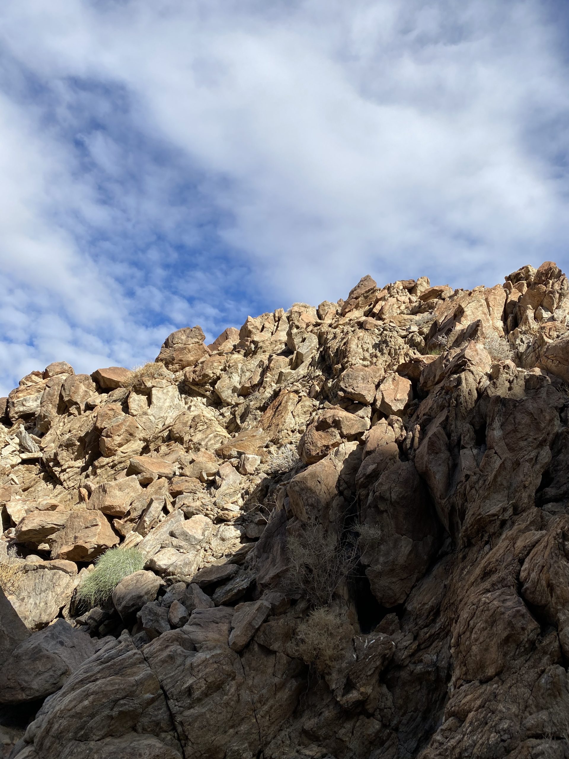
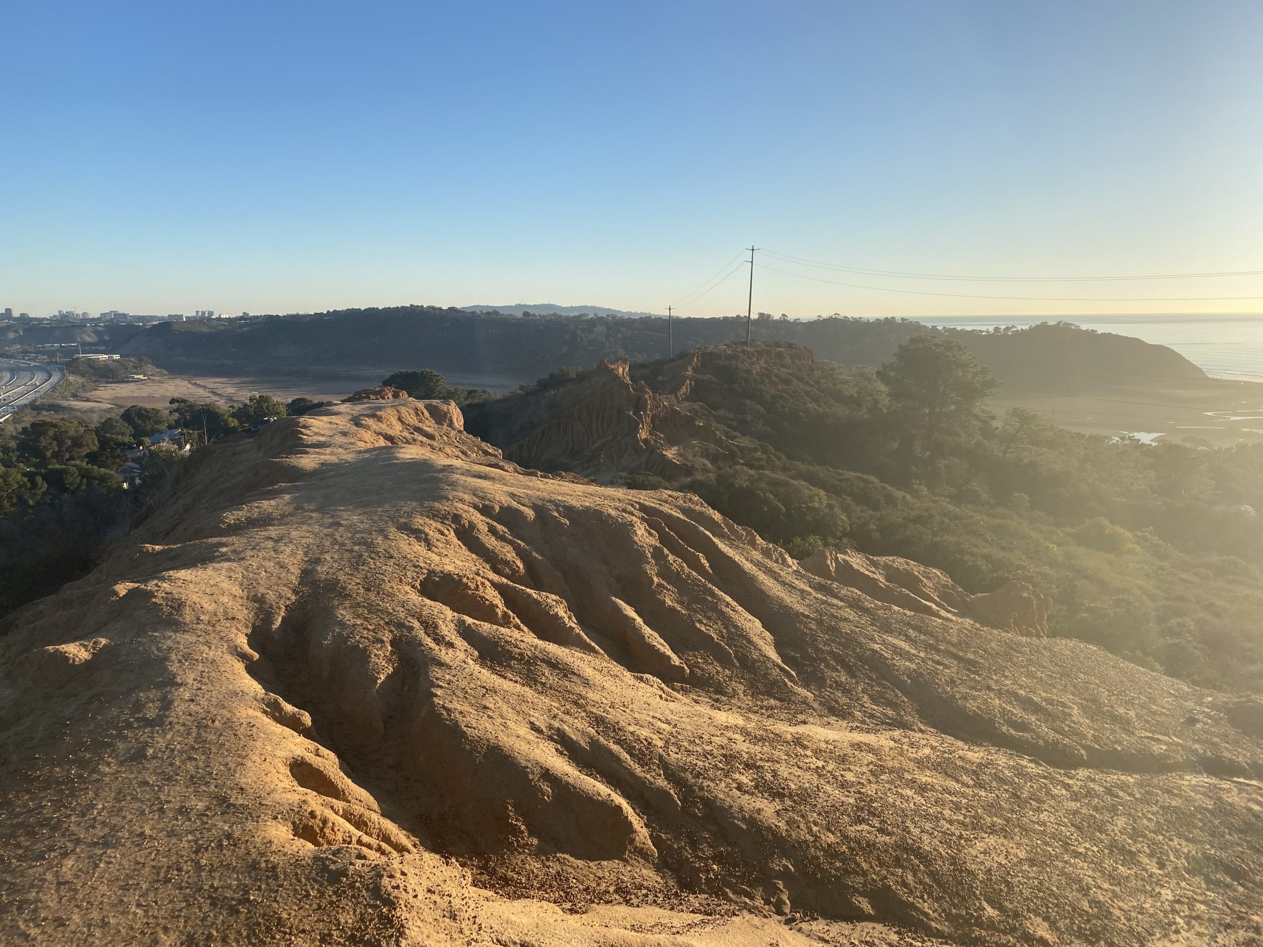
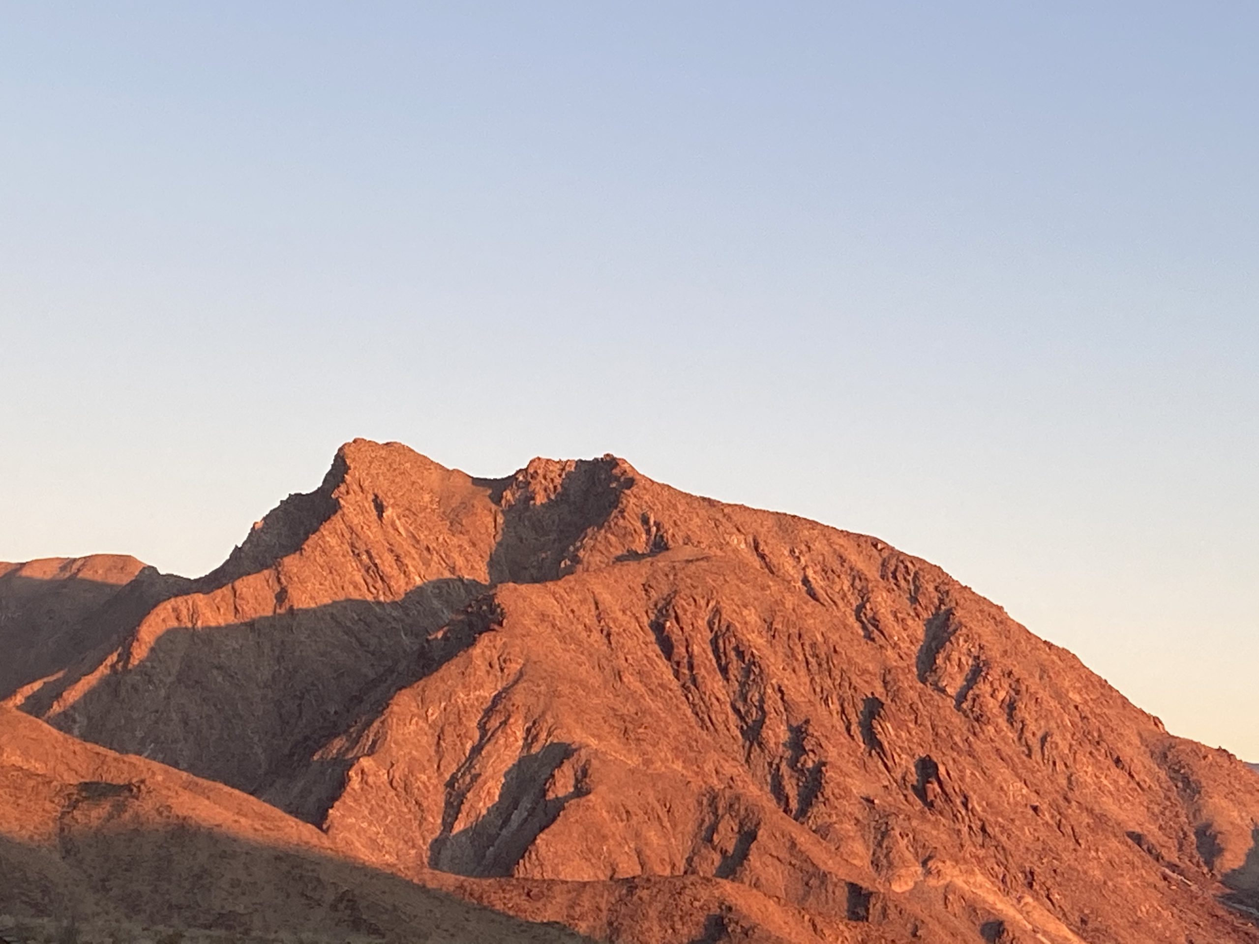
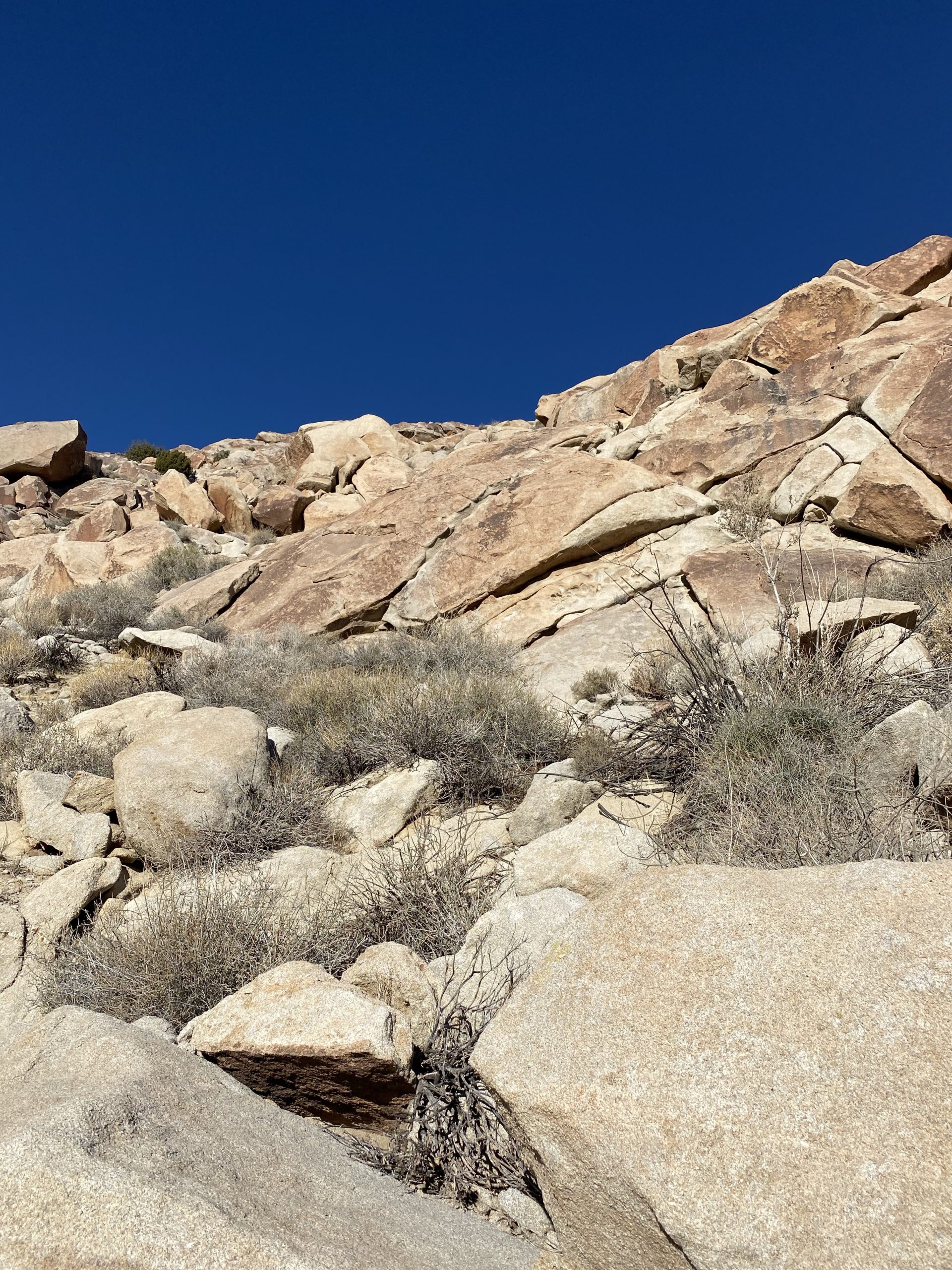
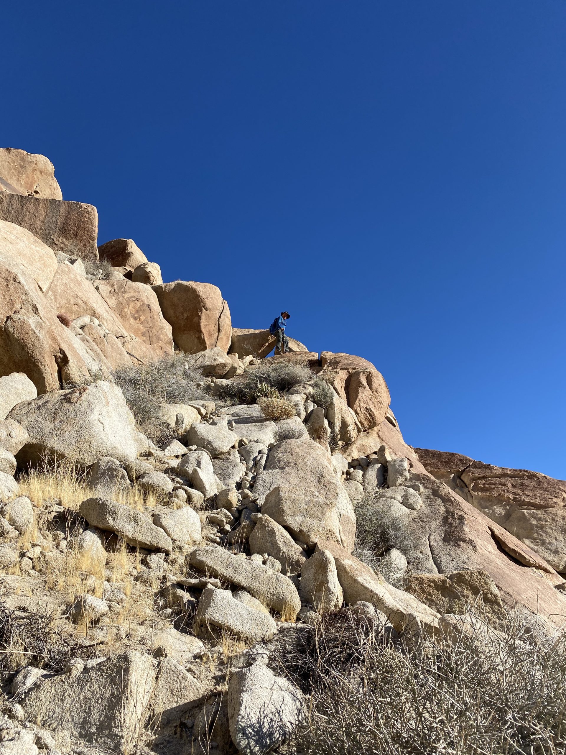
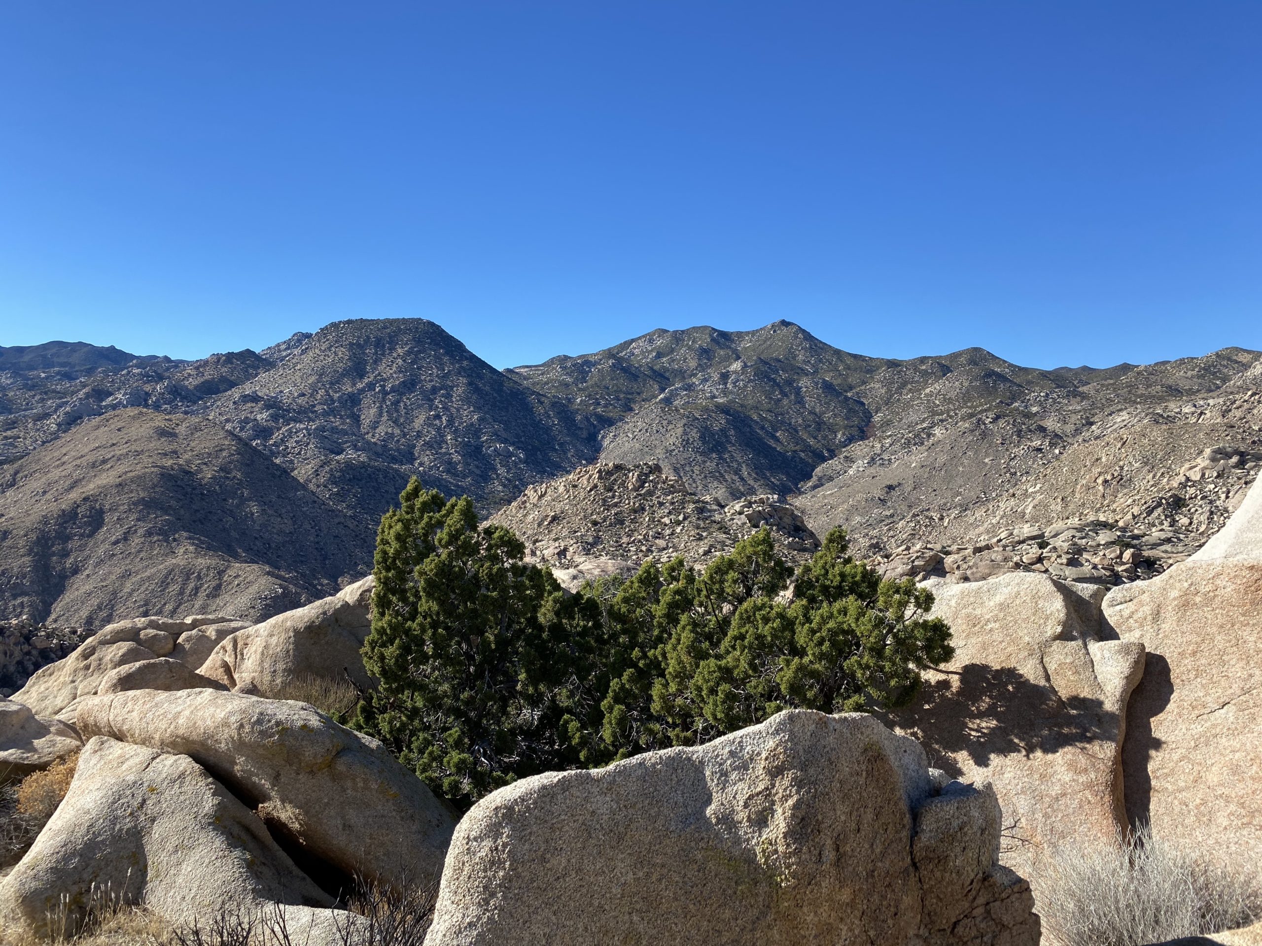
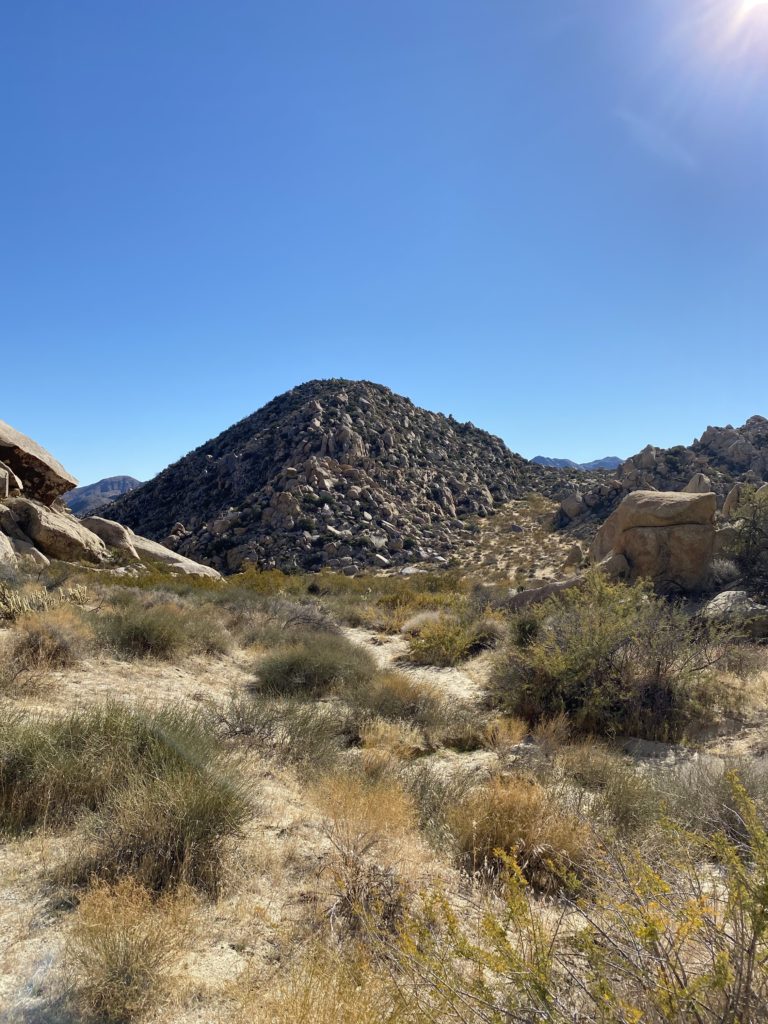
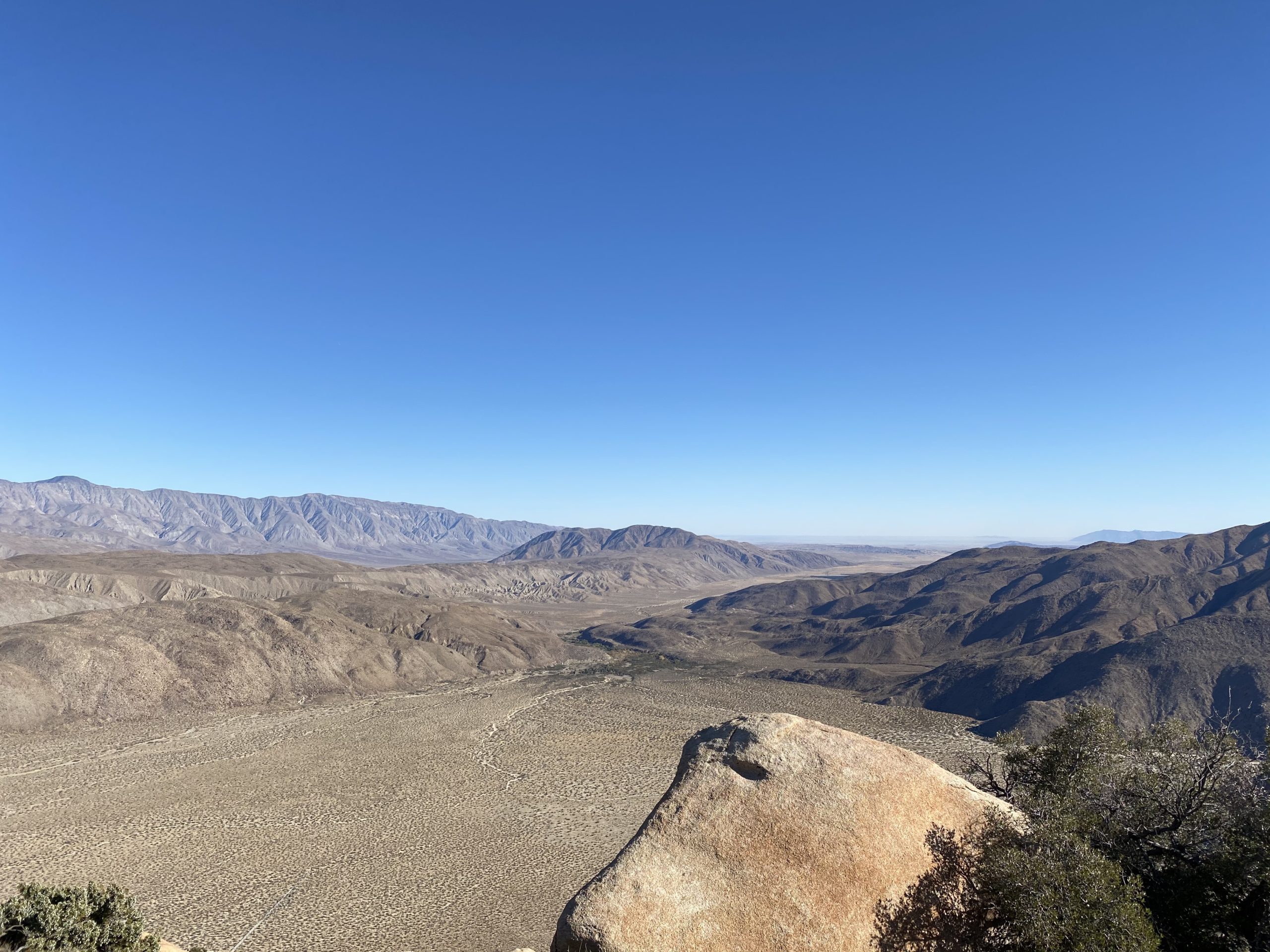
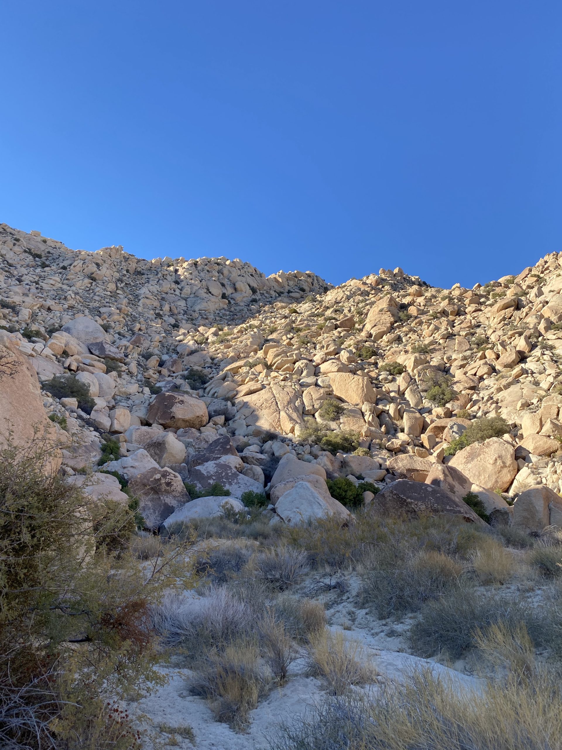
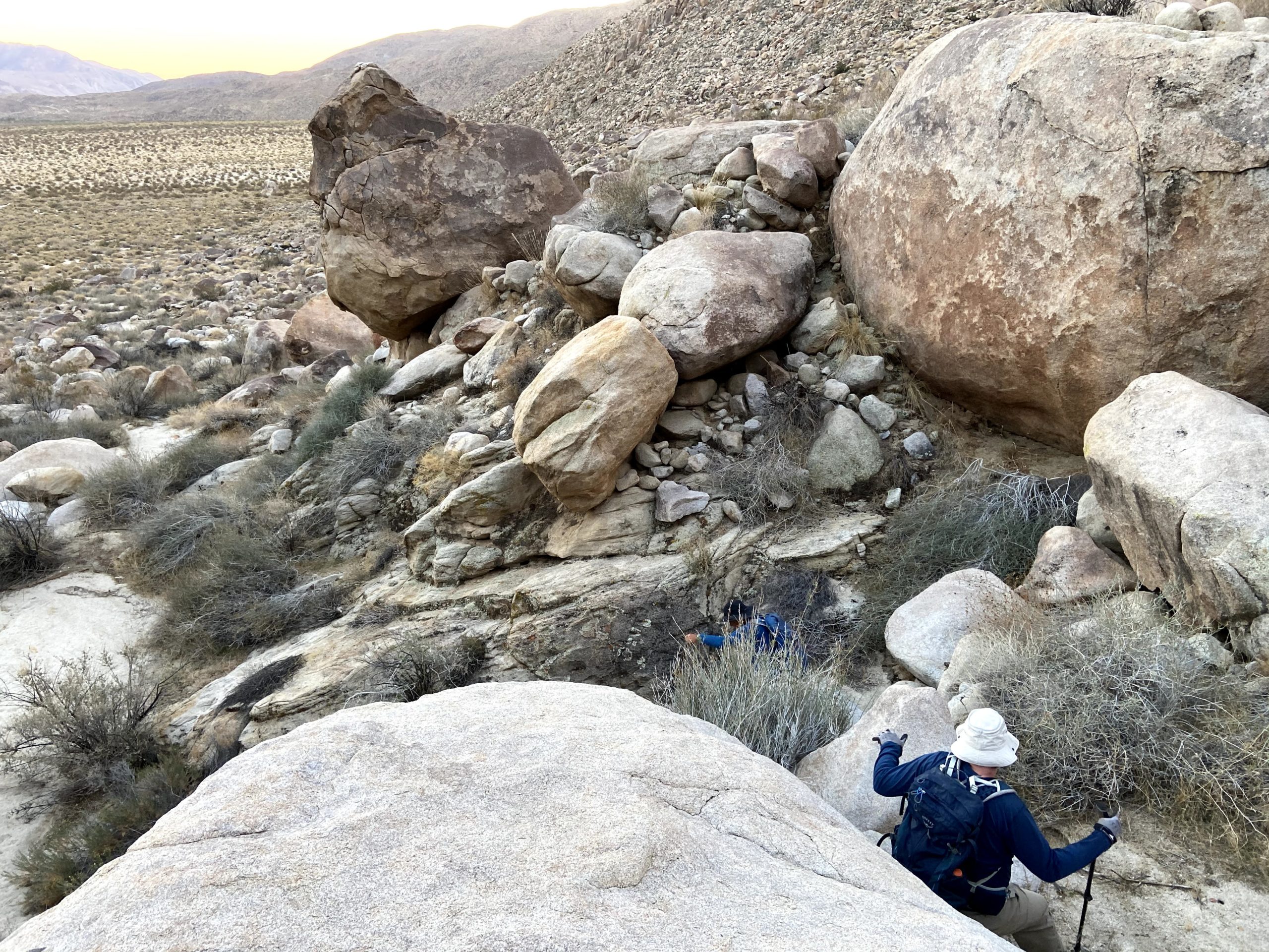
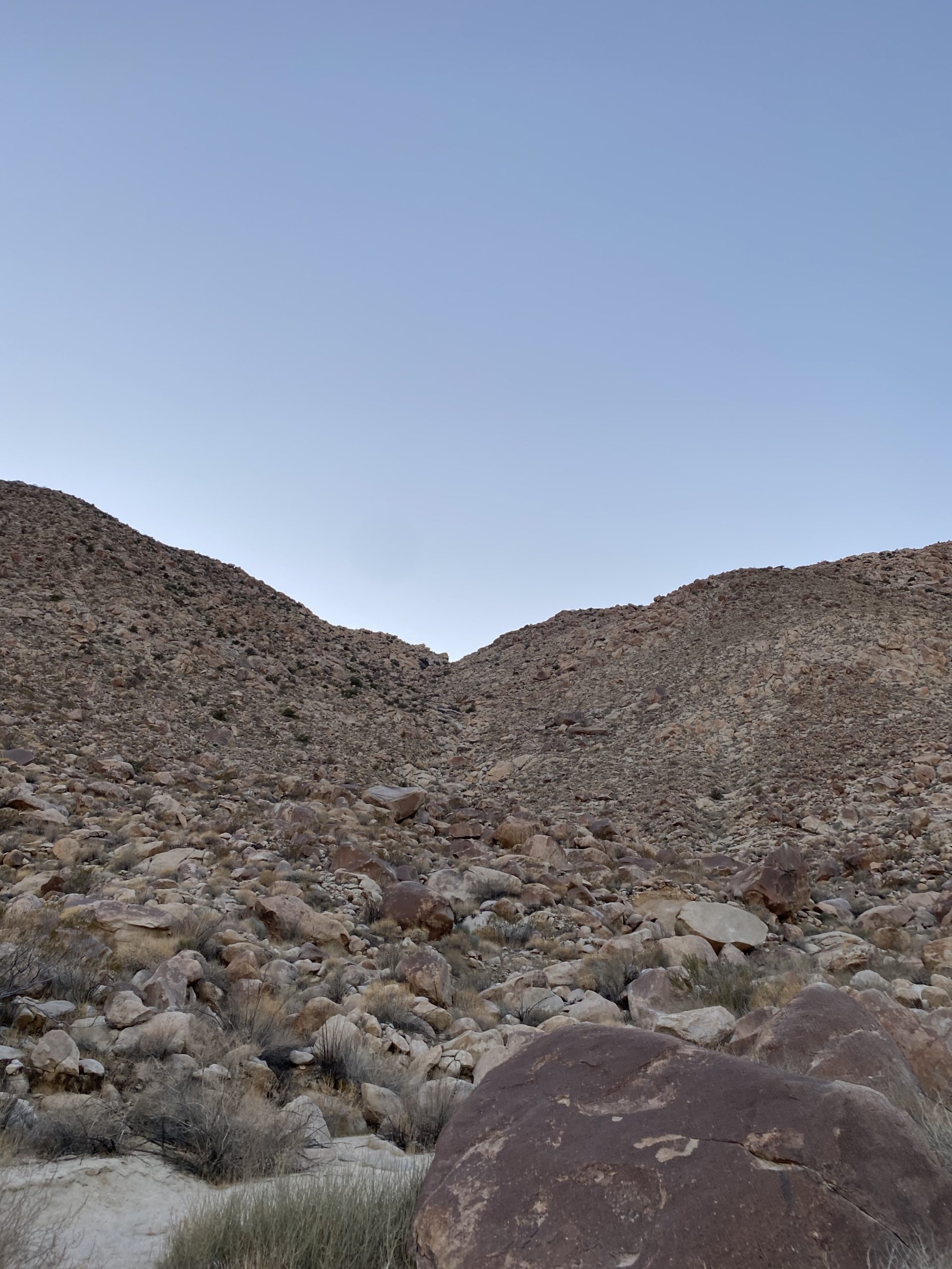
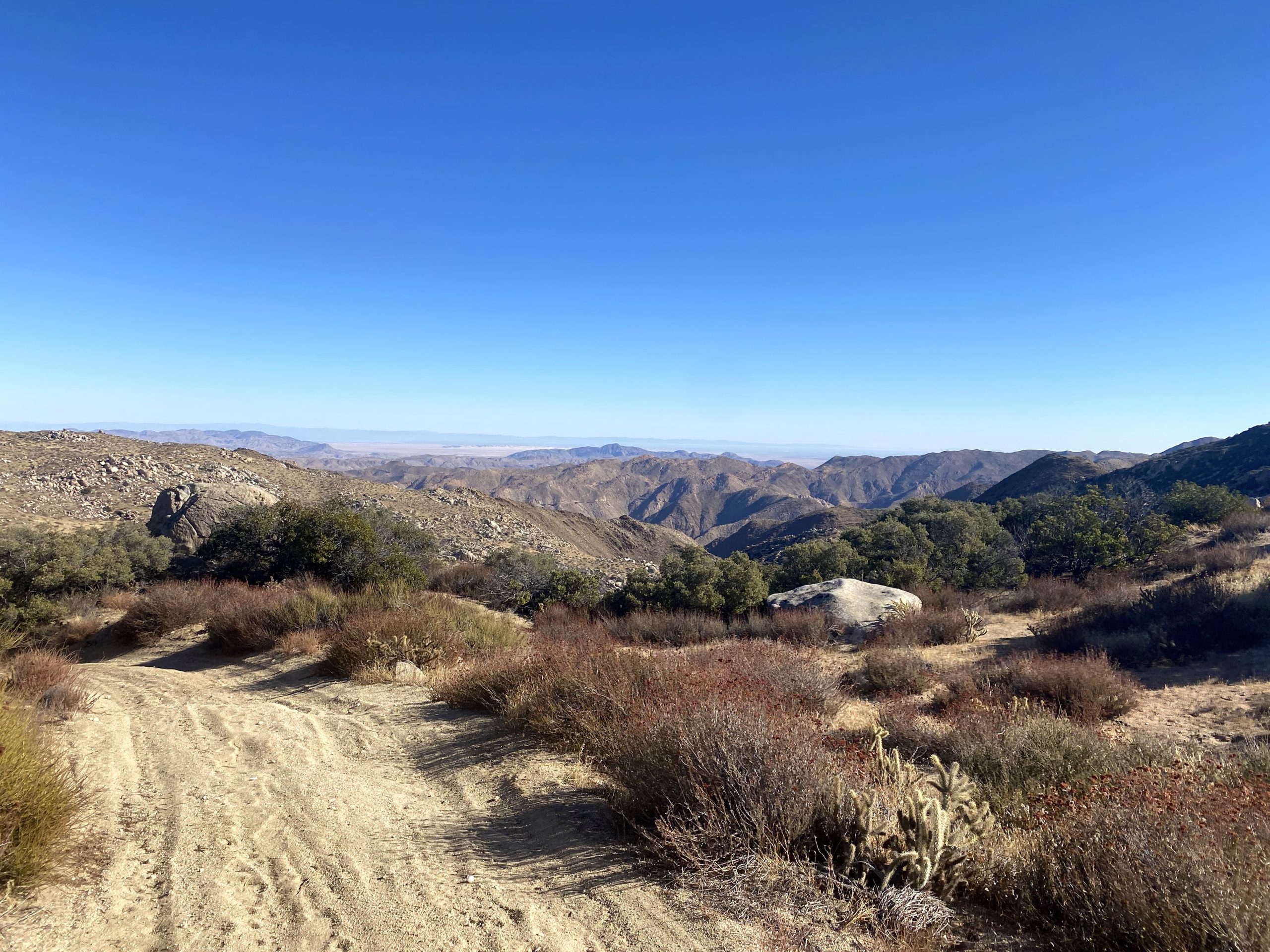
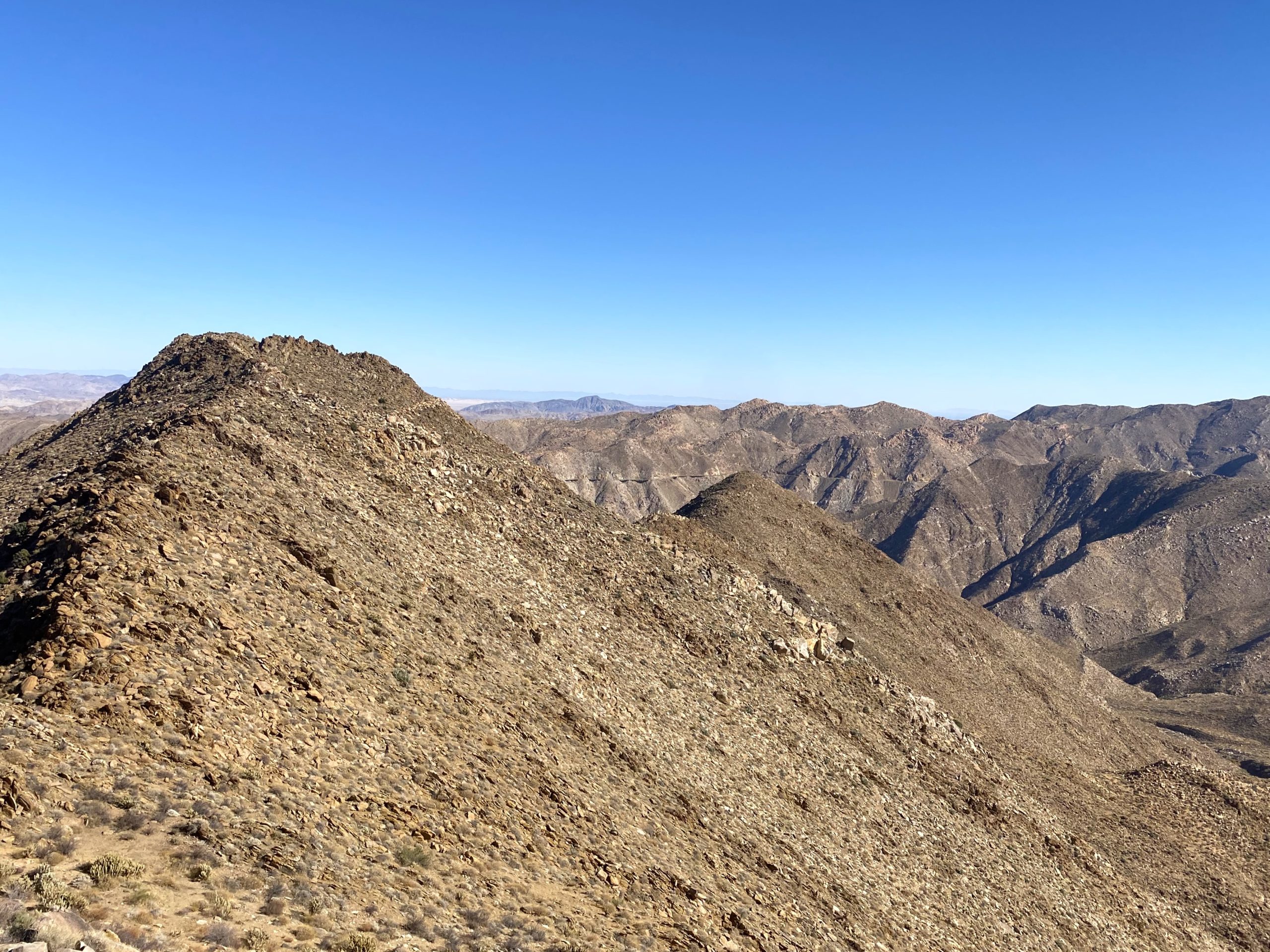
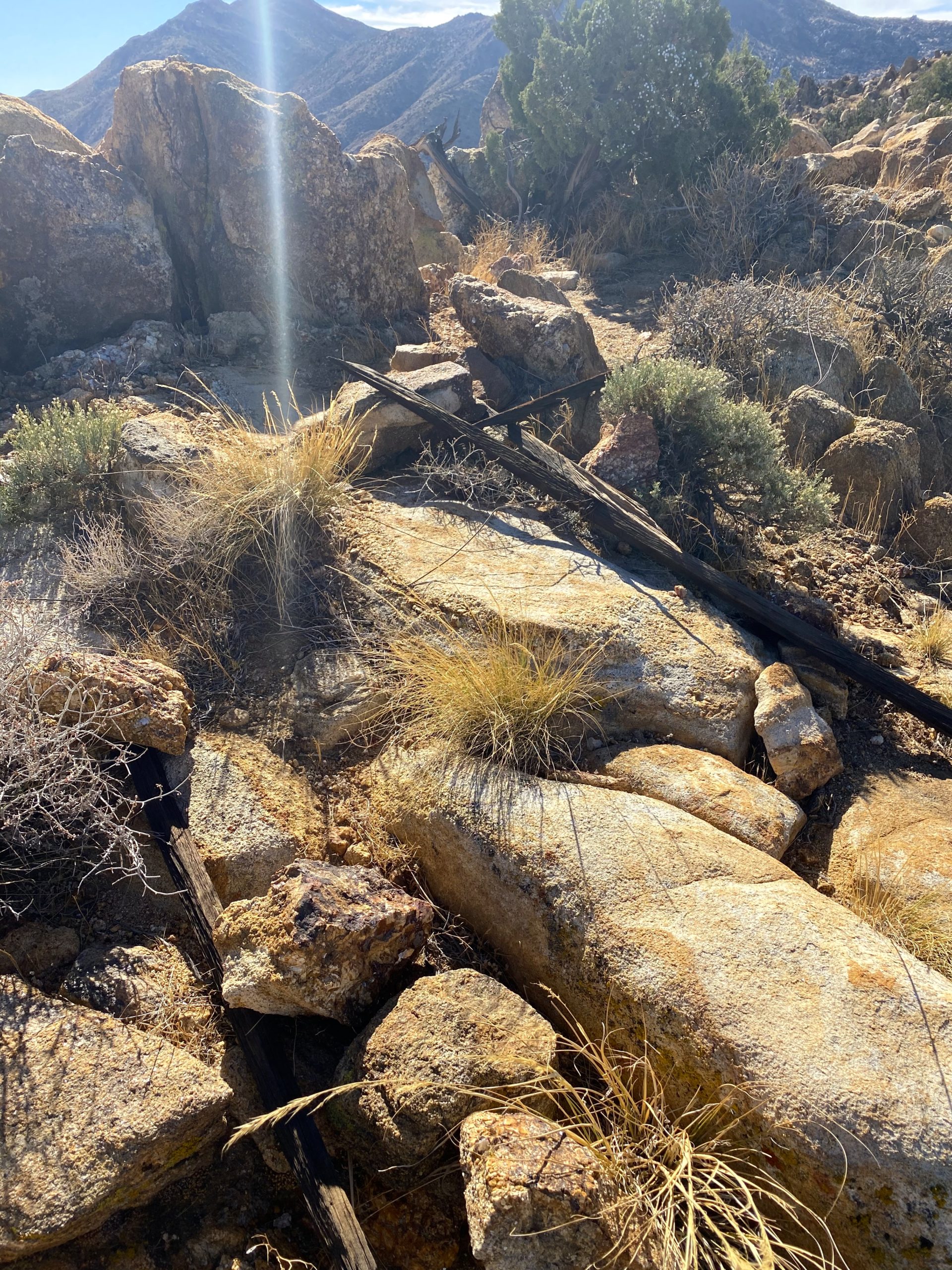
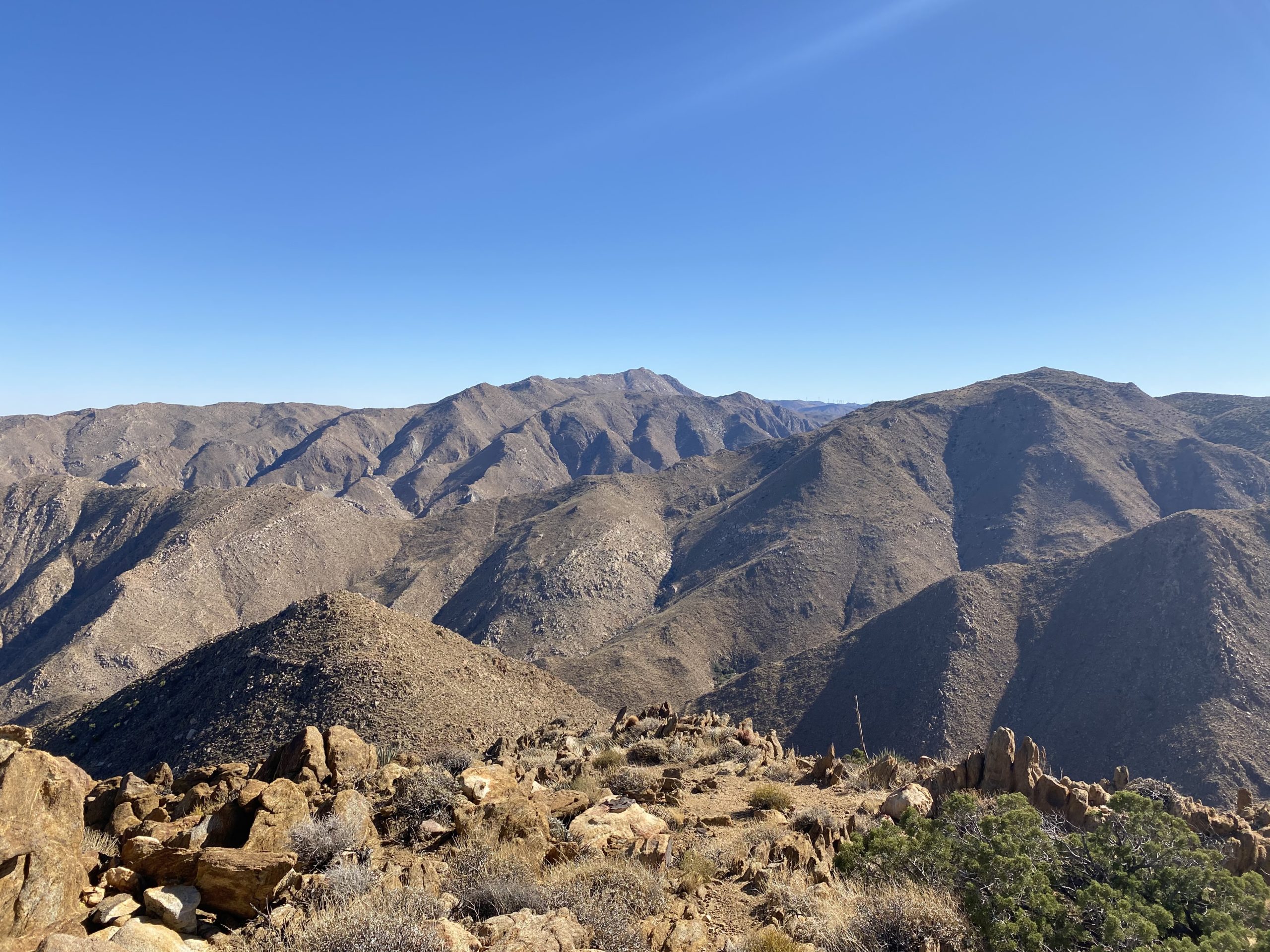
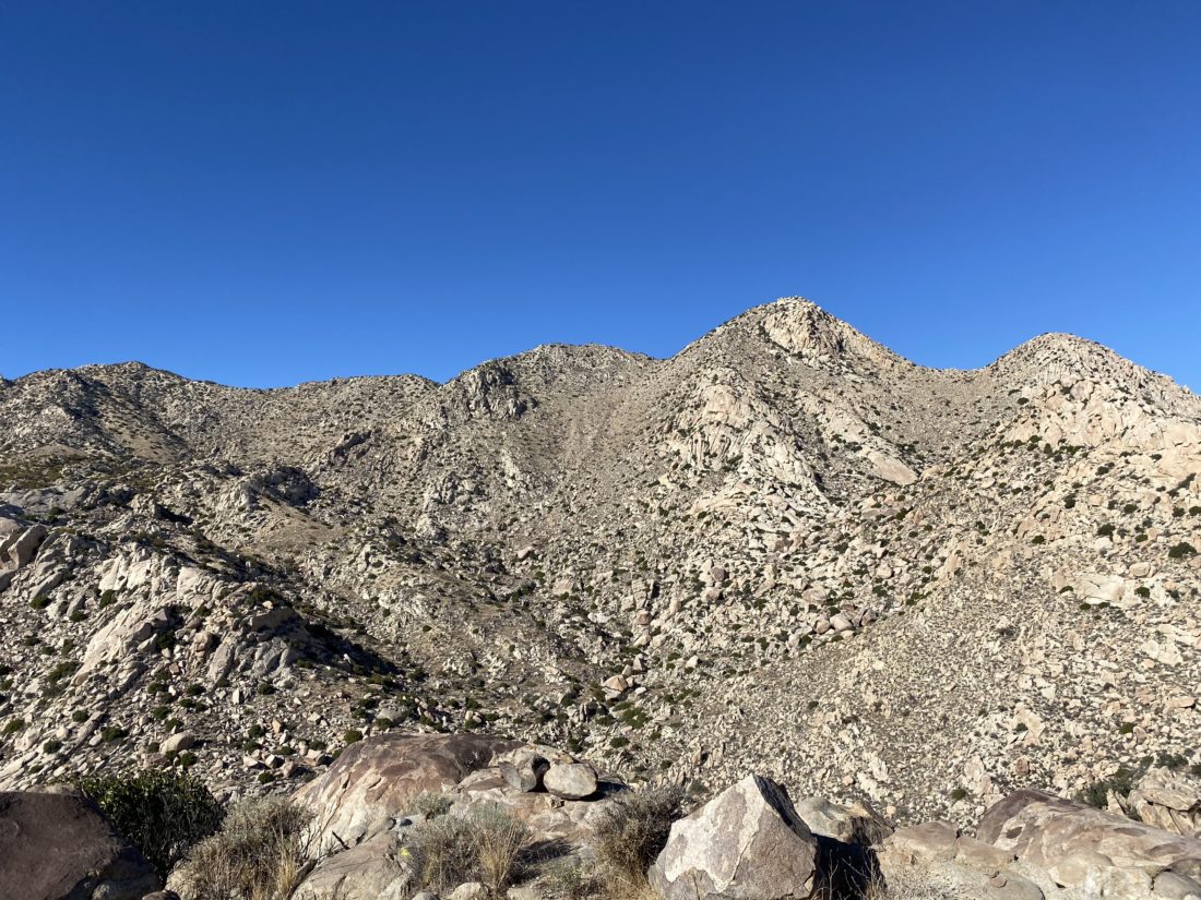
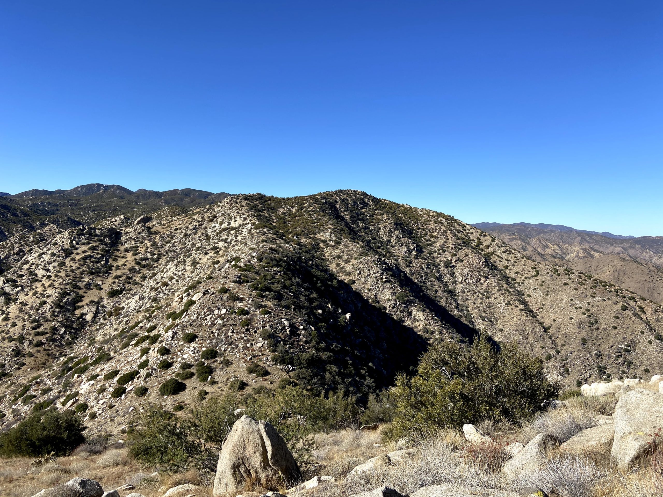
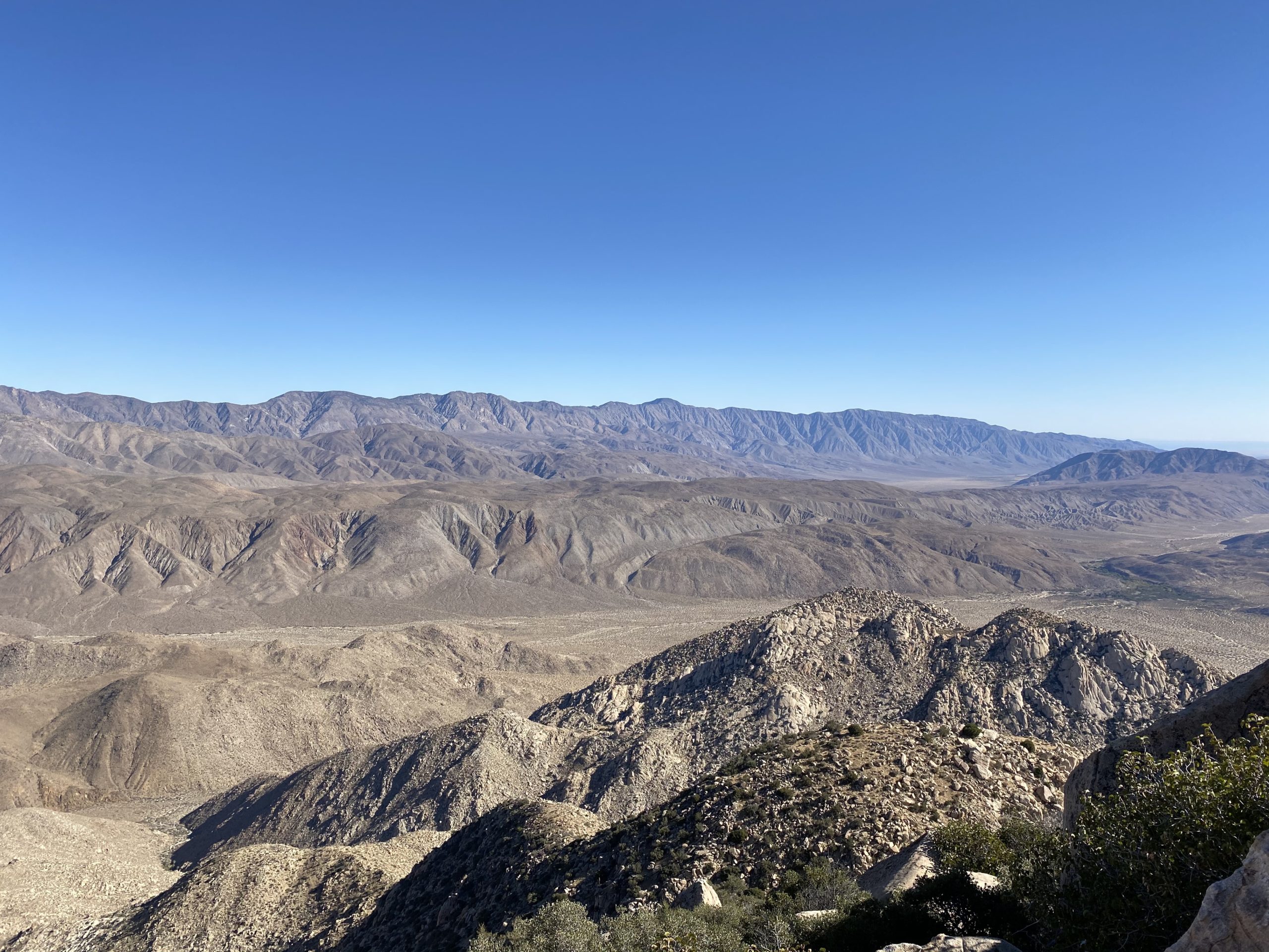
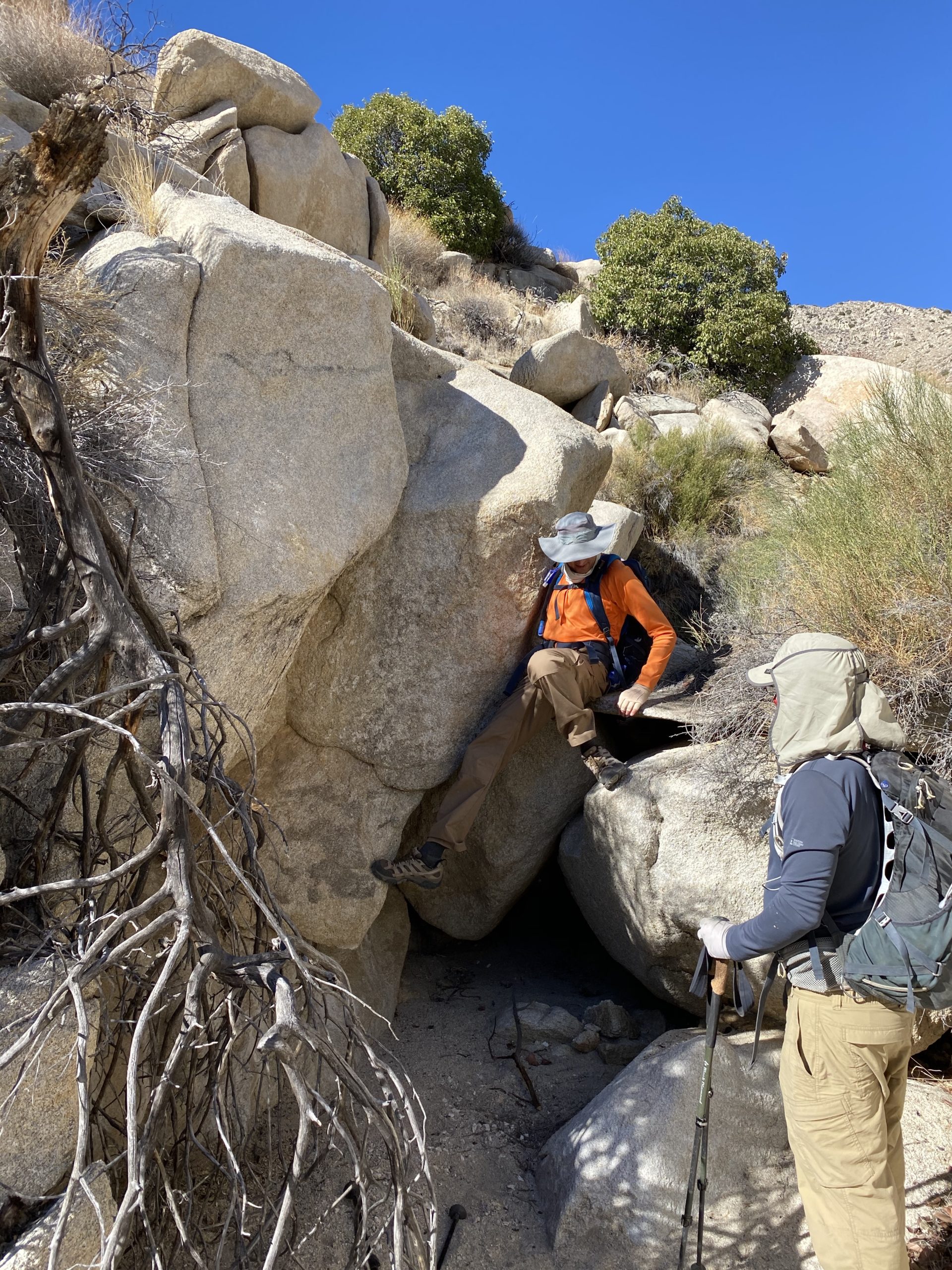
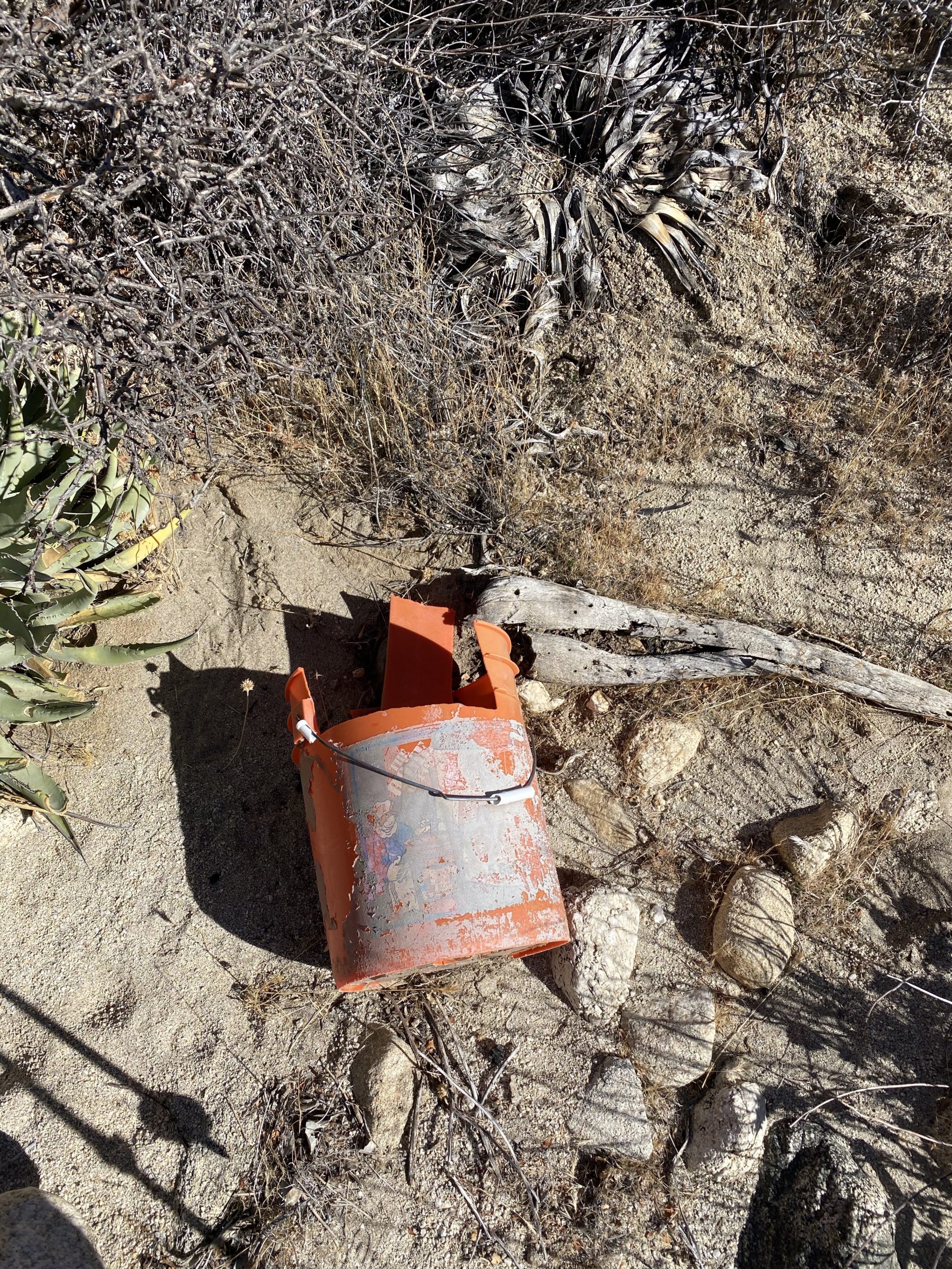
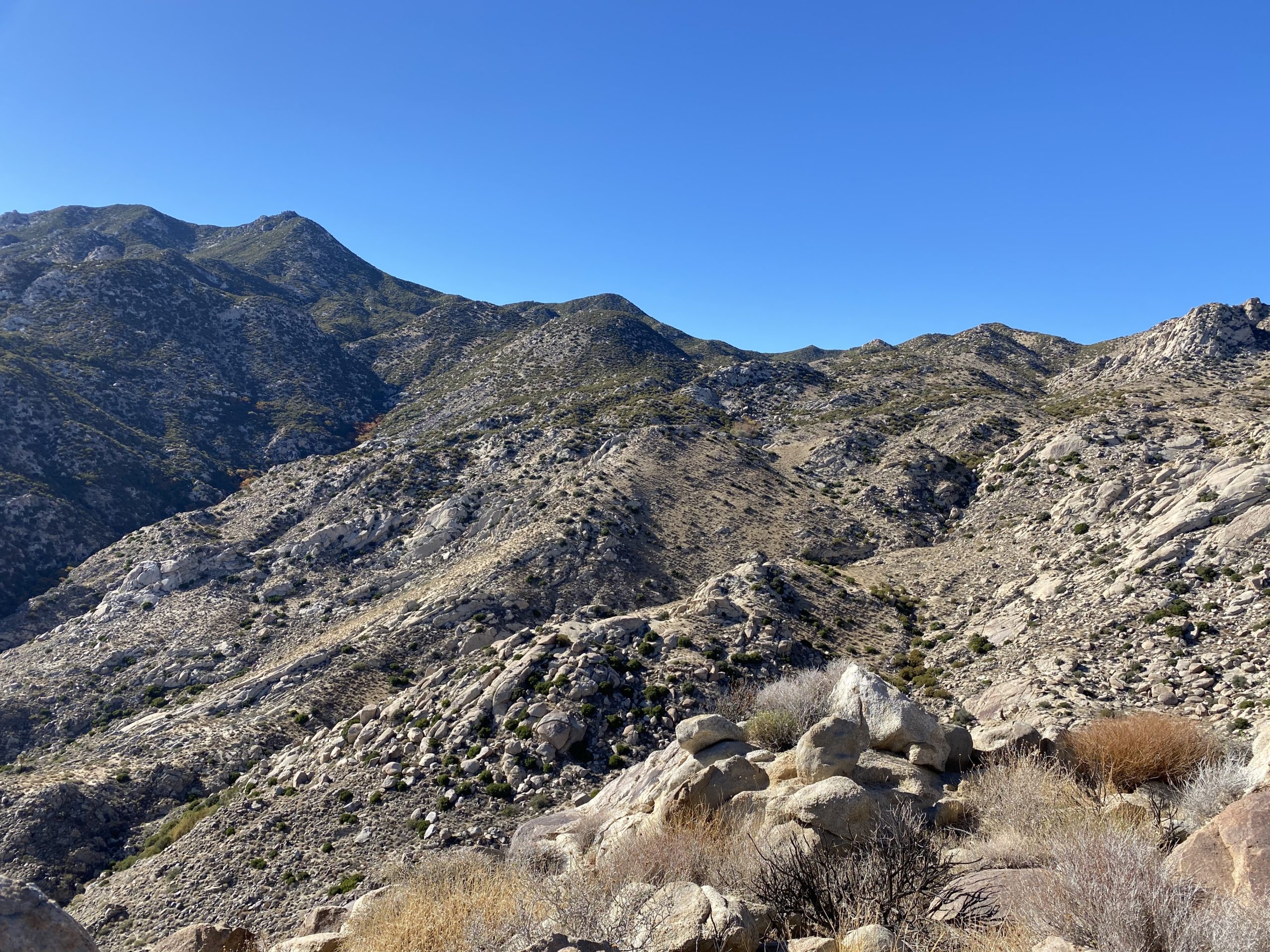
When I said Knob was below Collins, that was a bit of an understatement. To reach it, we would have to descend 1,400 feet in less than a mile down a rocky and sandy gully. Pictures do not do justice to its steepness. We retraced our route to the saddle just below Collins, then headed down. The descent was hard, but not as crazy as we feared. Once at the bottom, we discovered some discarded clothing and a Home Depot bucket. We have no idea why or even how they were out there.

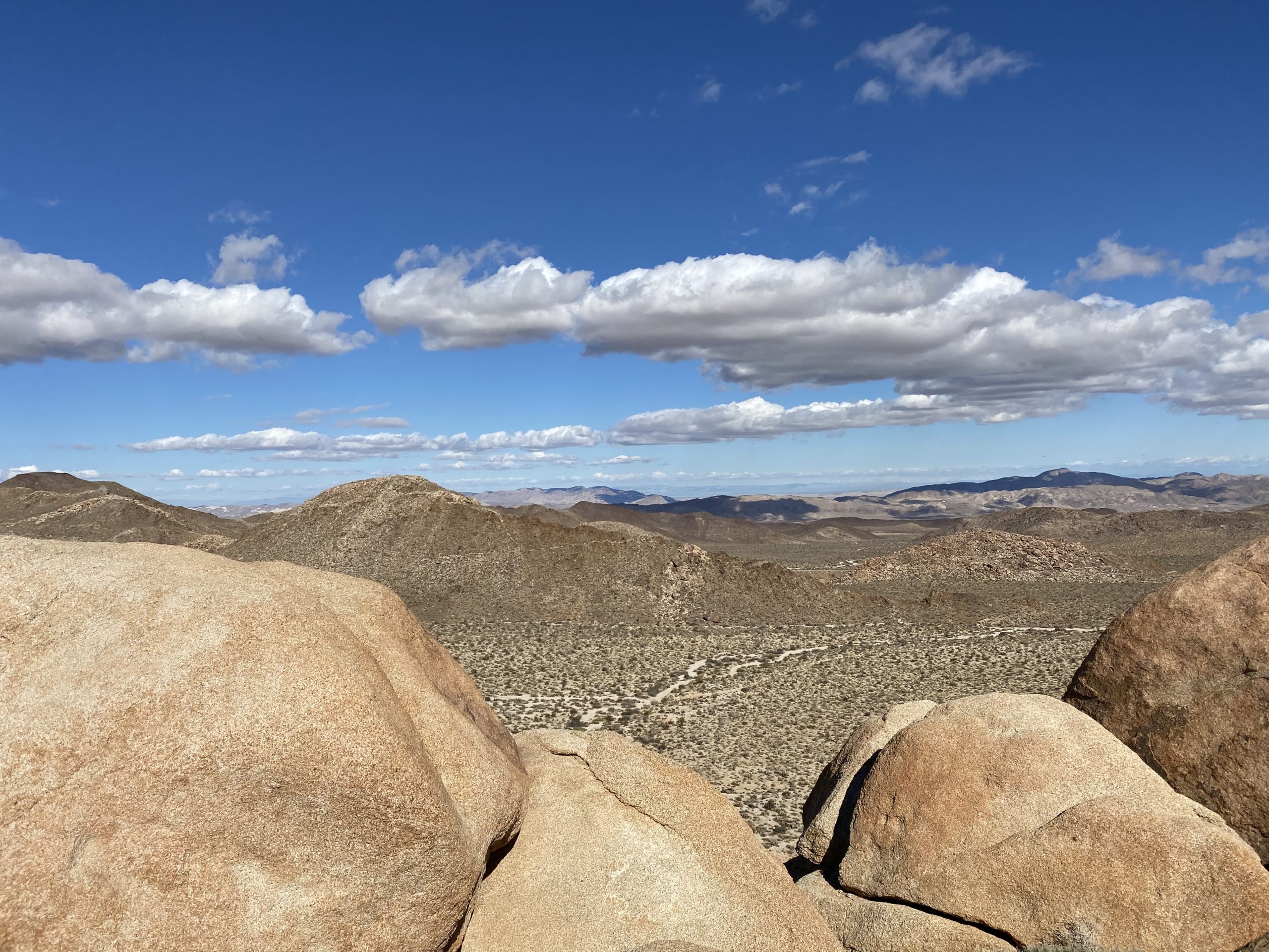
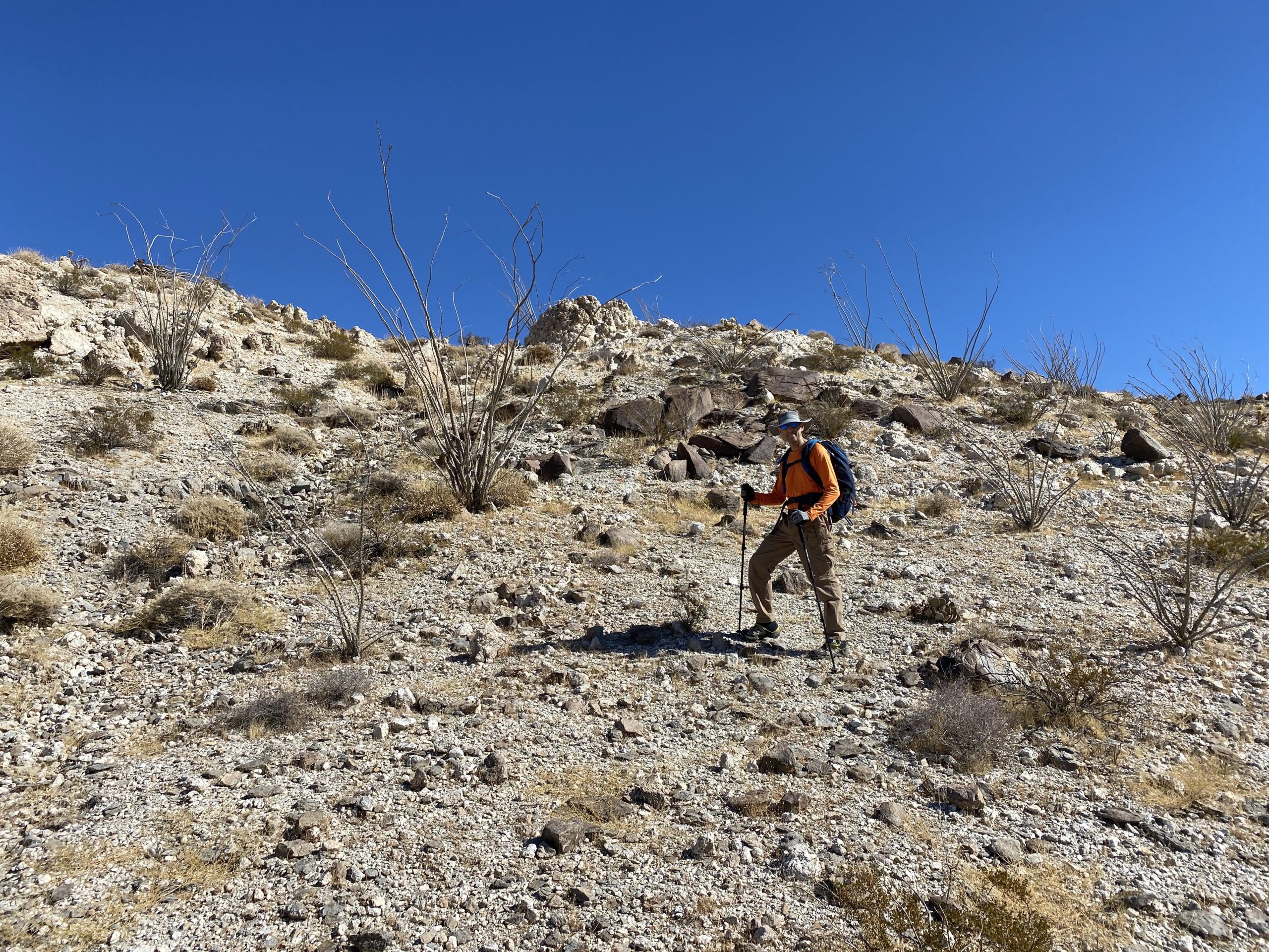
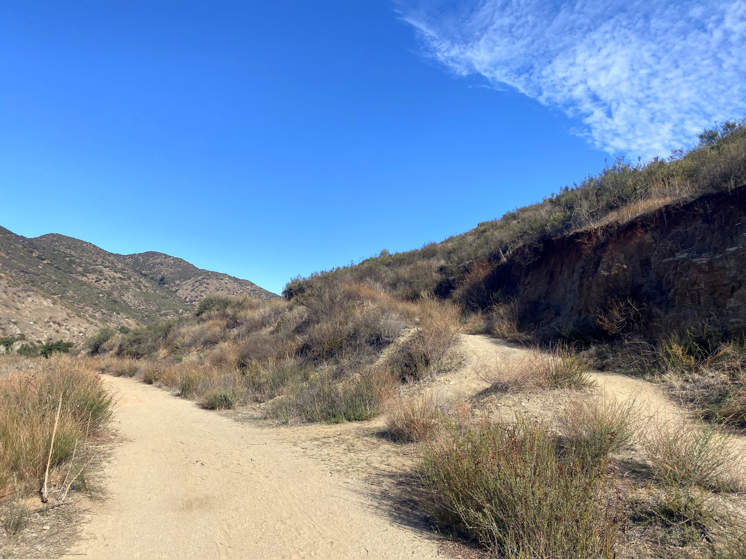
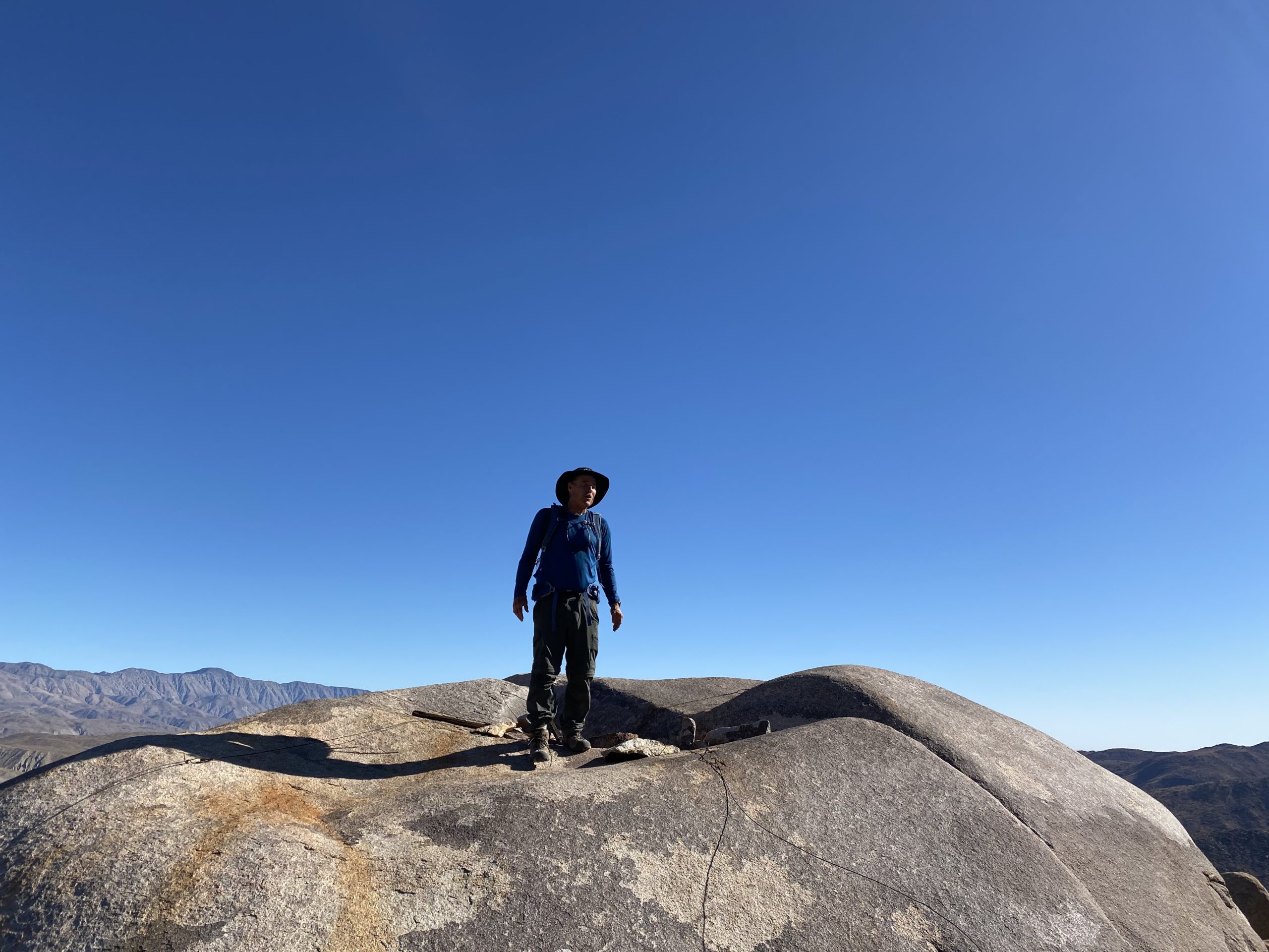
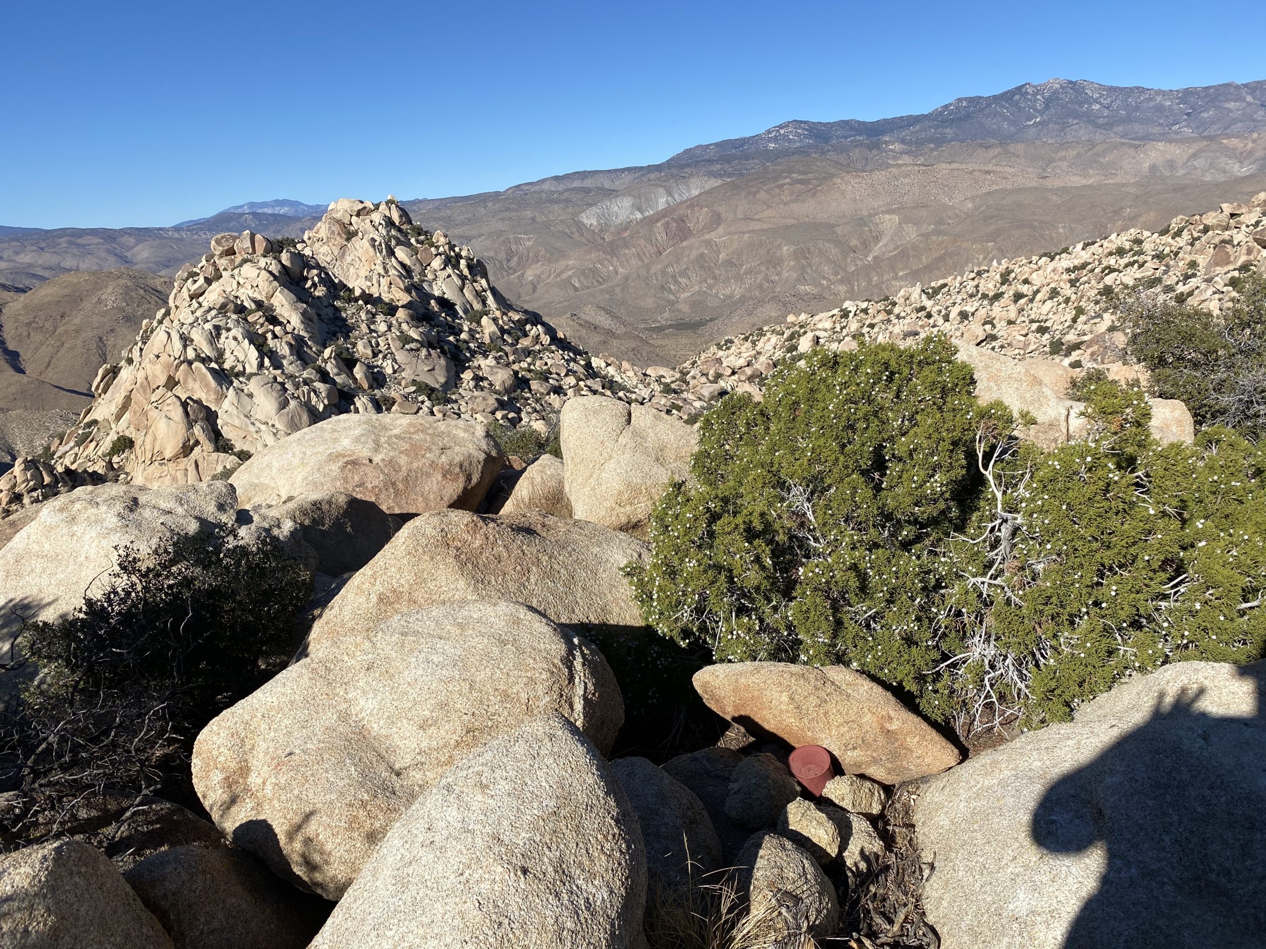
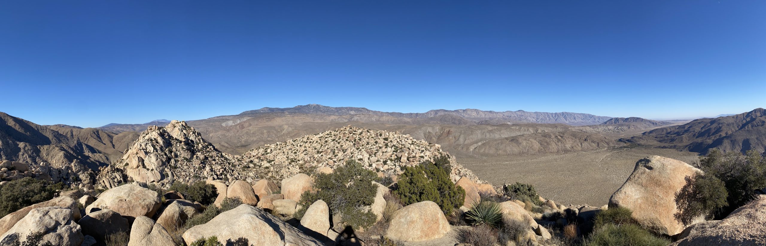
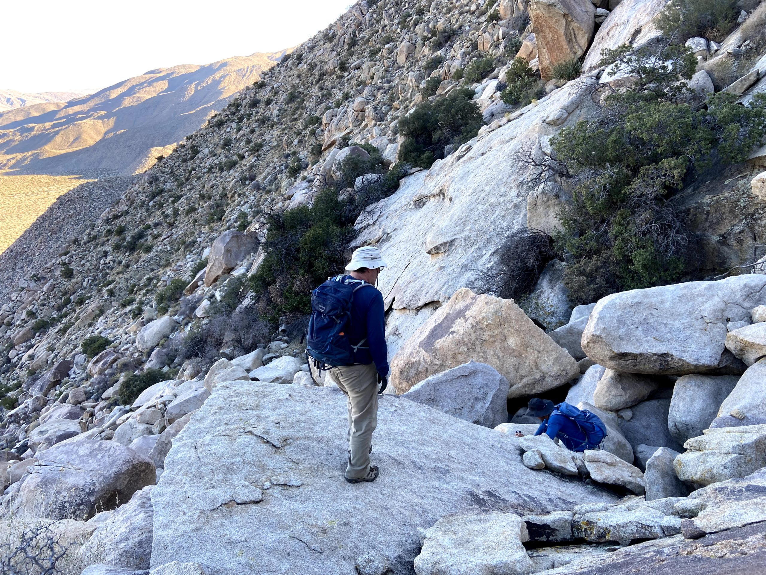
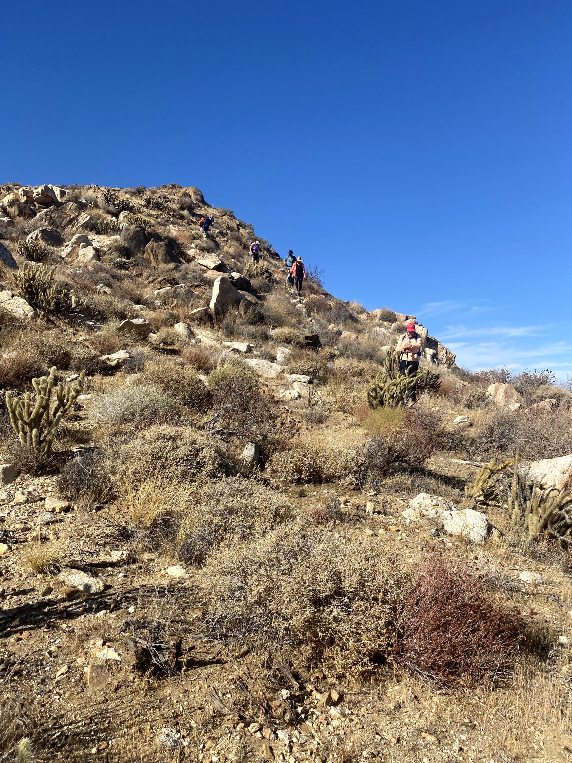
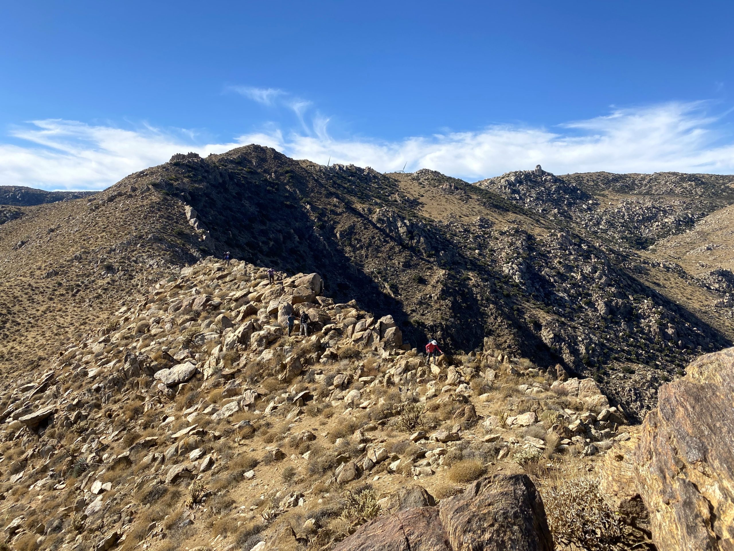
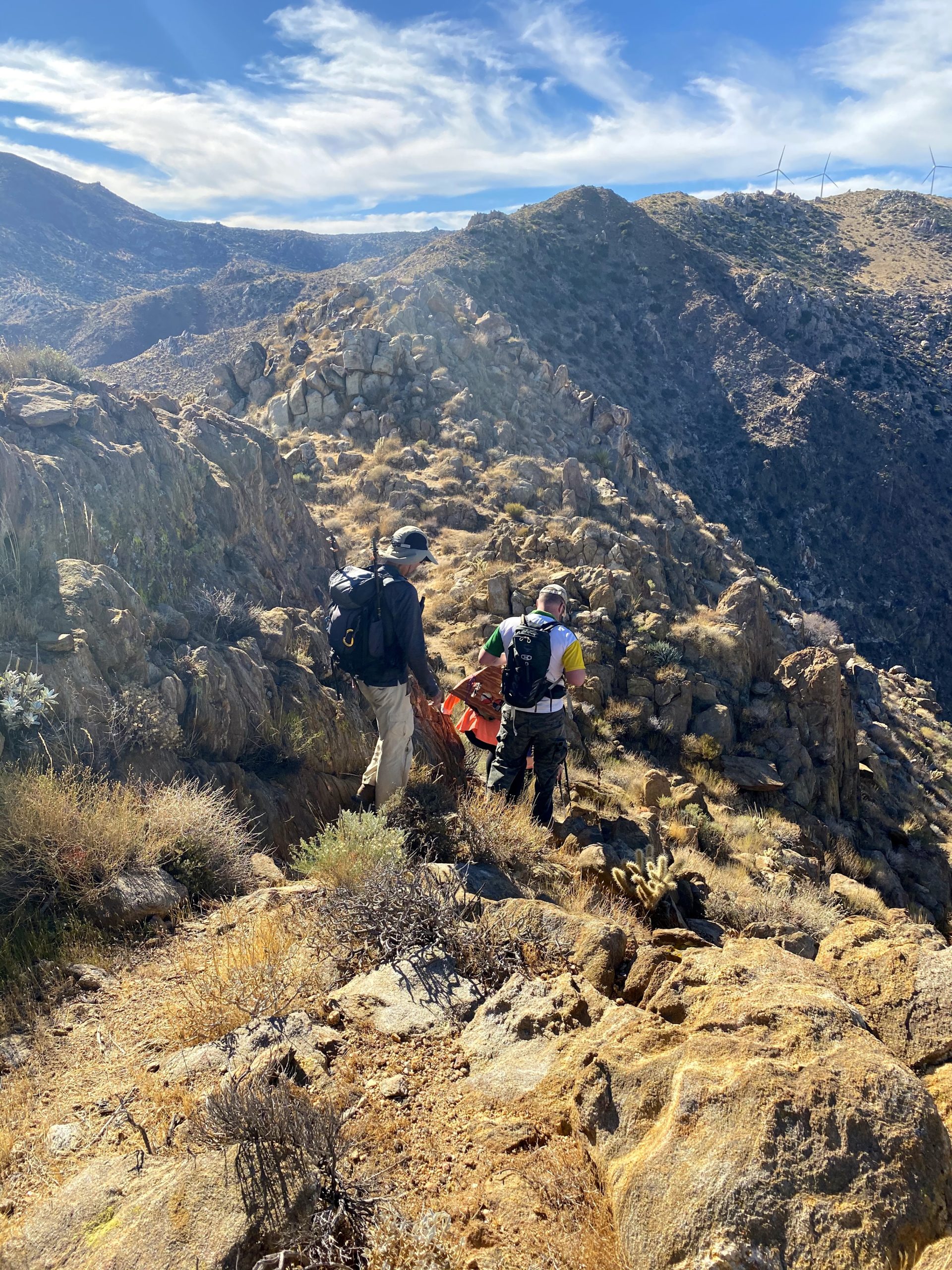
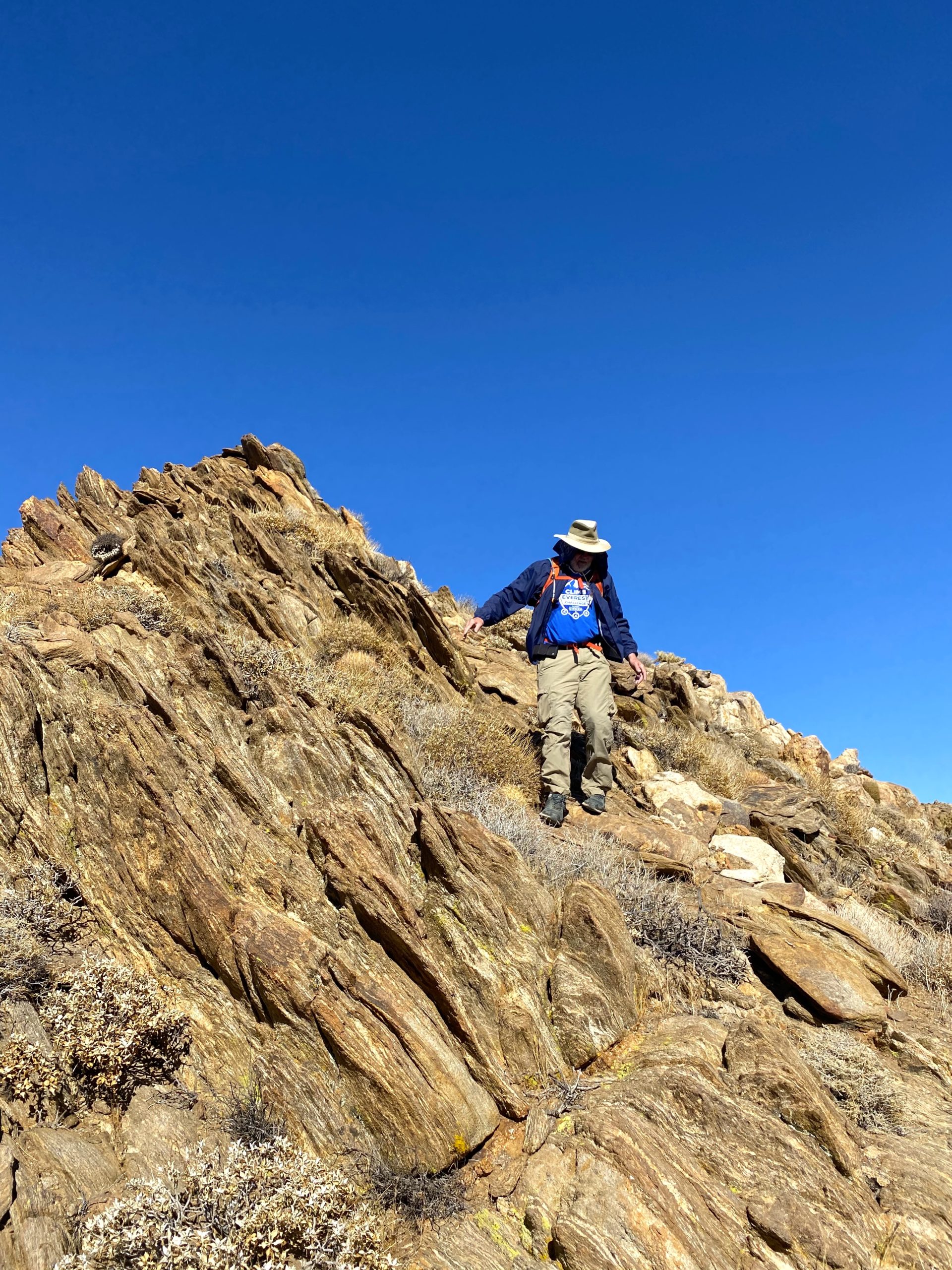
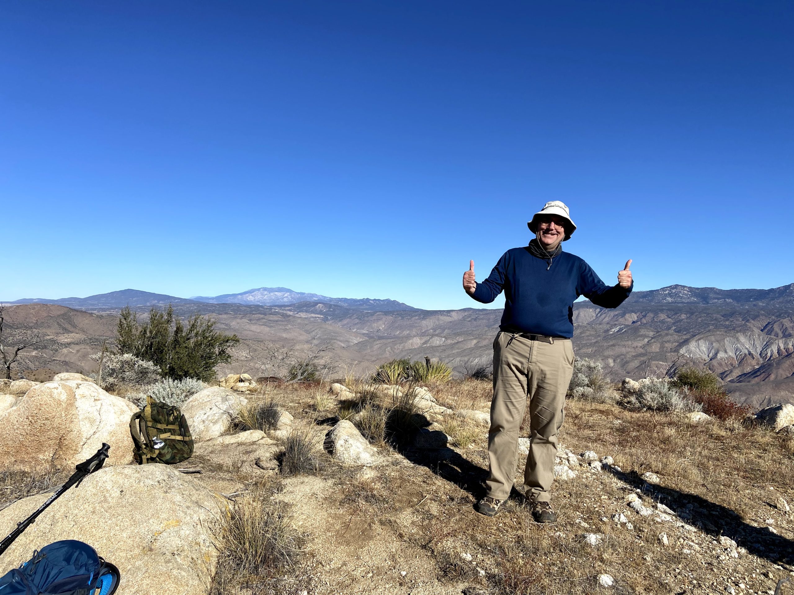
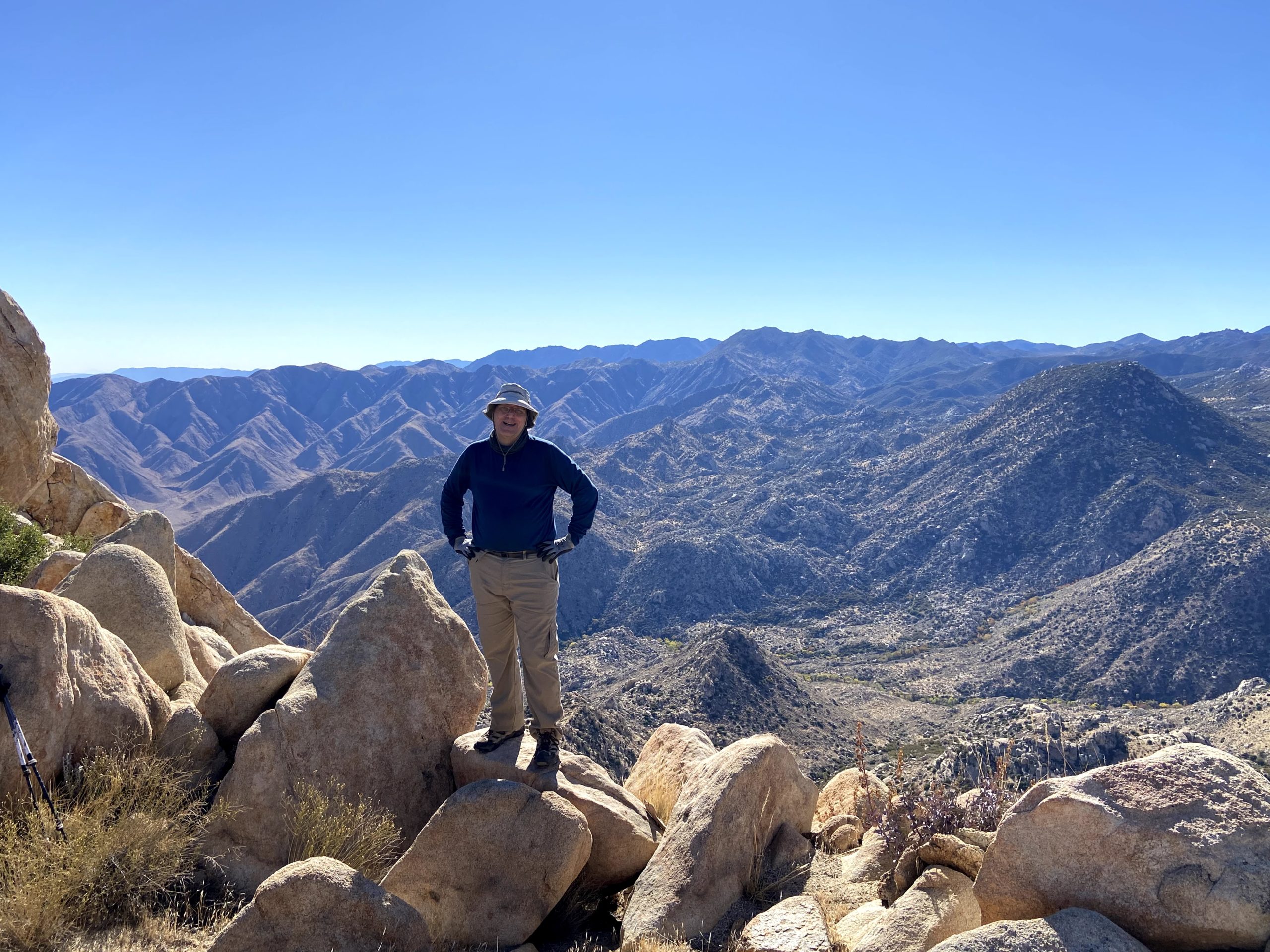
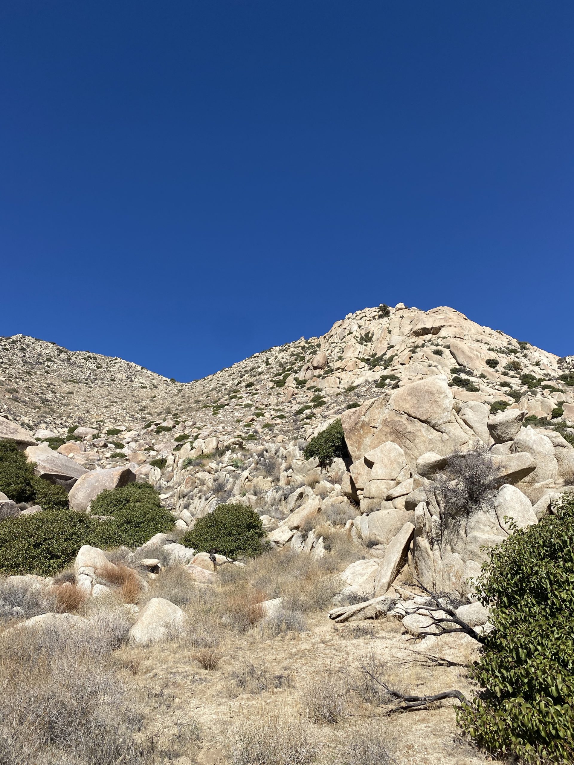
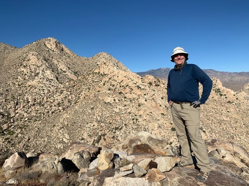
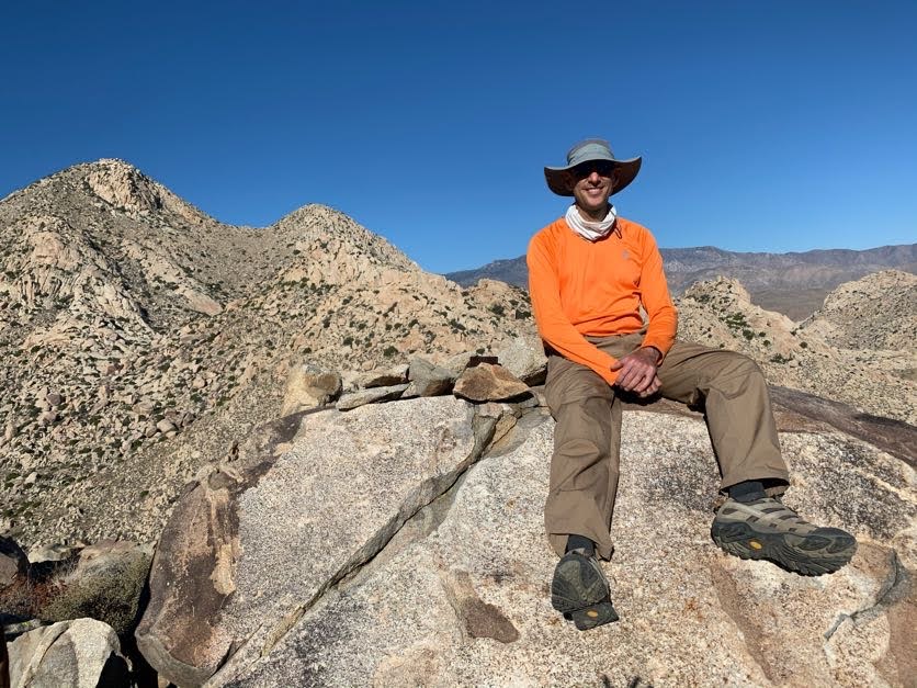
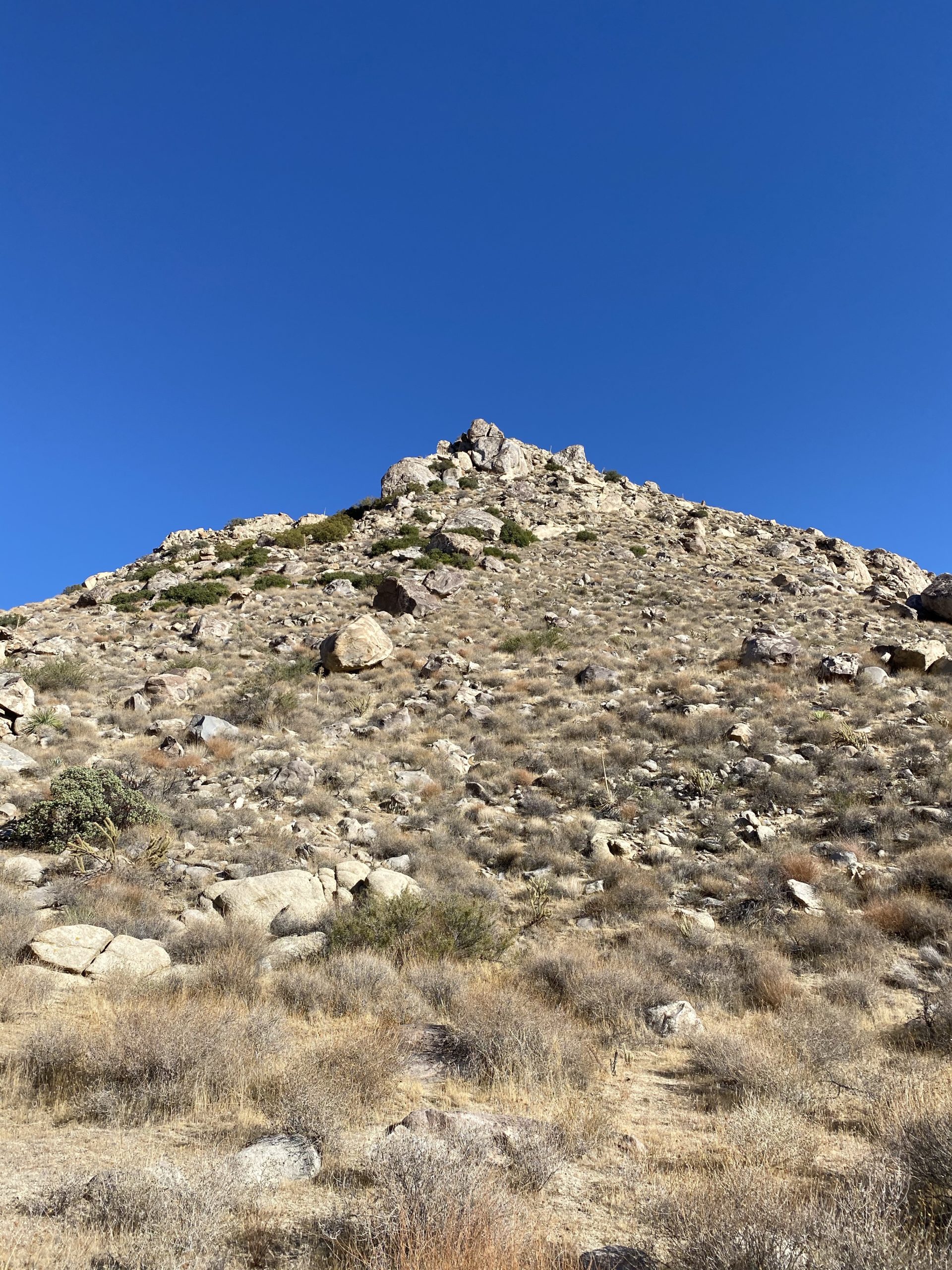
The ascent of Knob was not going to be a picnic either. The direct ascent from the north appeared to be a bit difficult. Keith Winston took that route and said it was tough. He had mentioned that the west side was more approachable. We found a nice animal trail that took us to the west side of the peak. From there it was a straight-up slog to the summit. The average slope was about 35%. The summit was small, with enough room for the five of us to spread out.

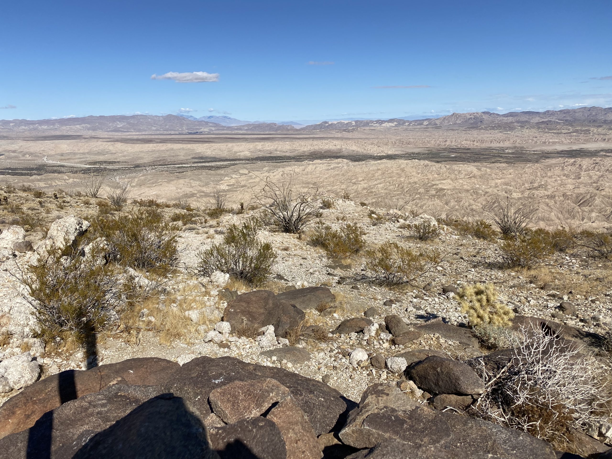
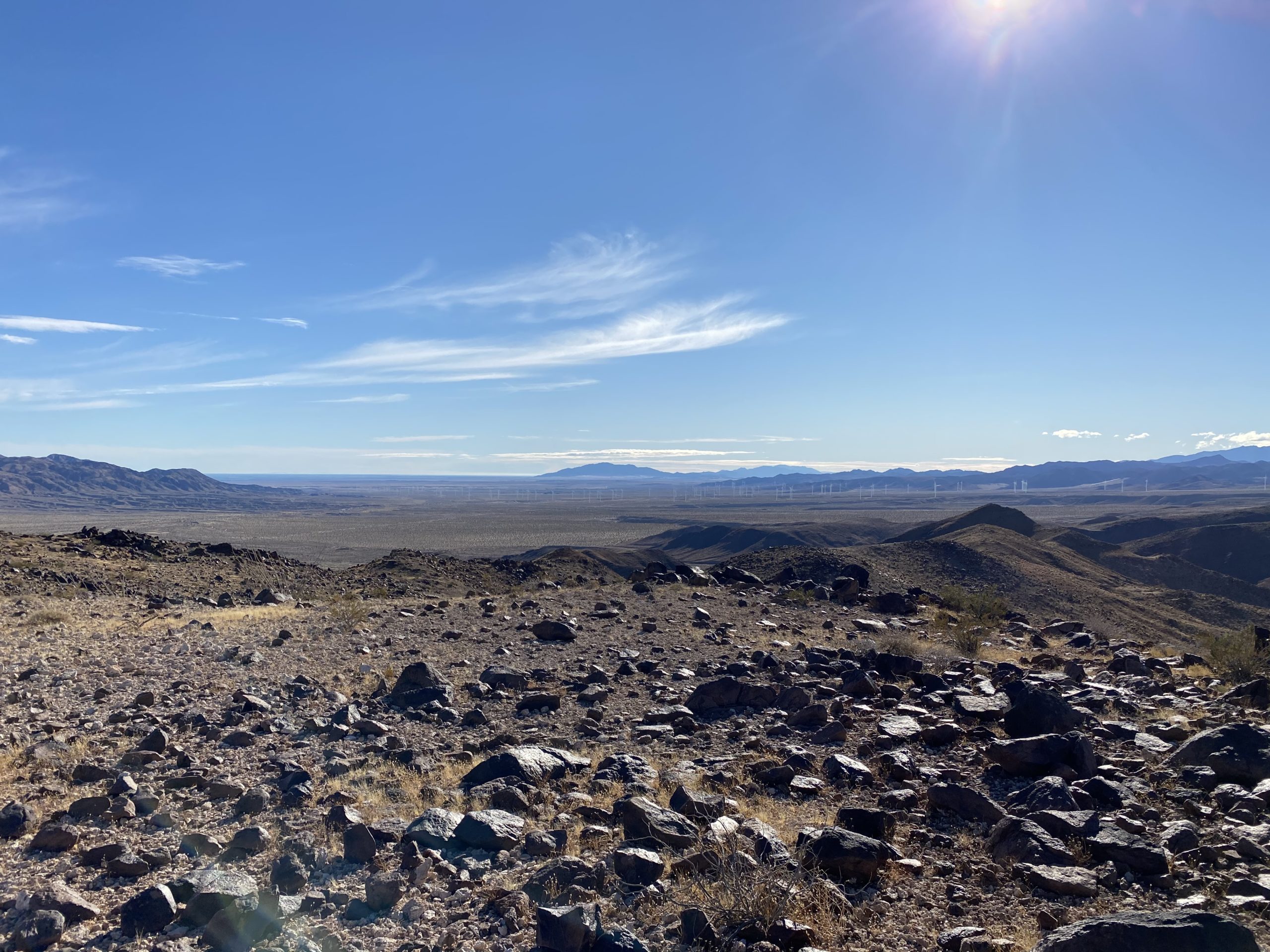
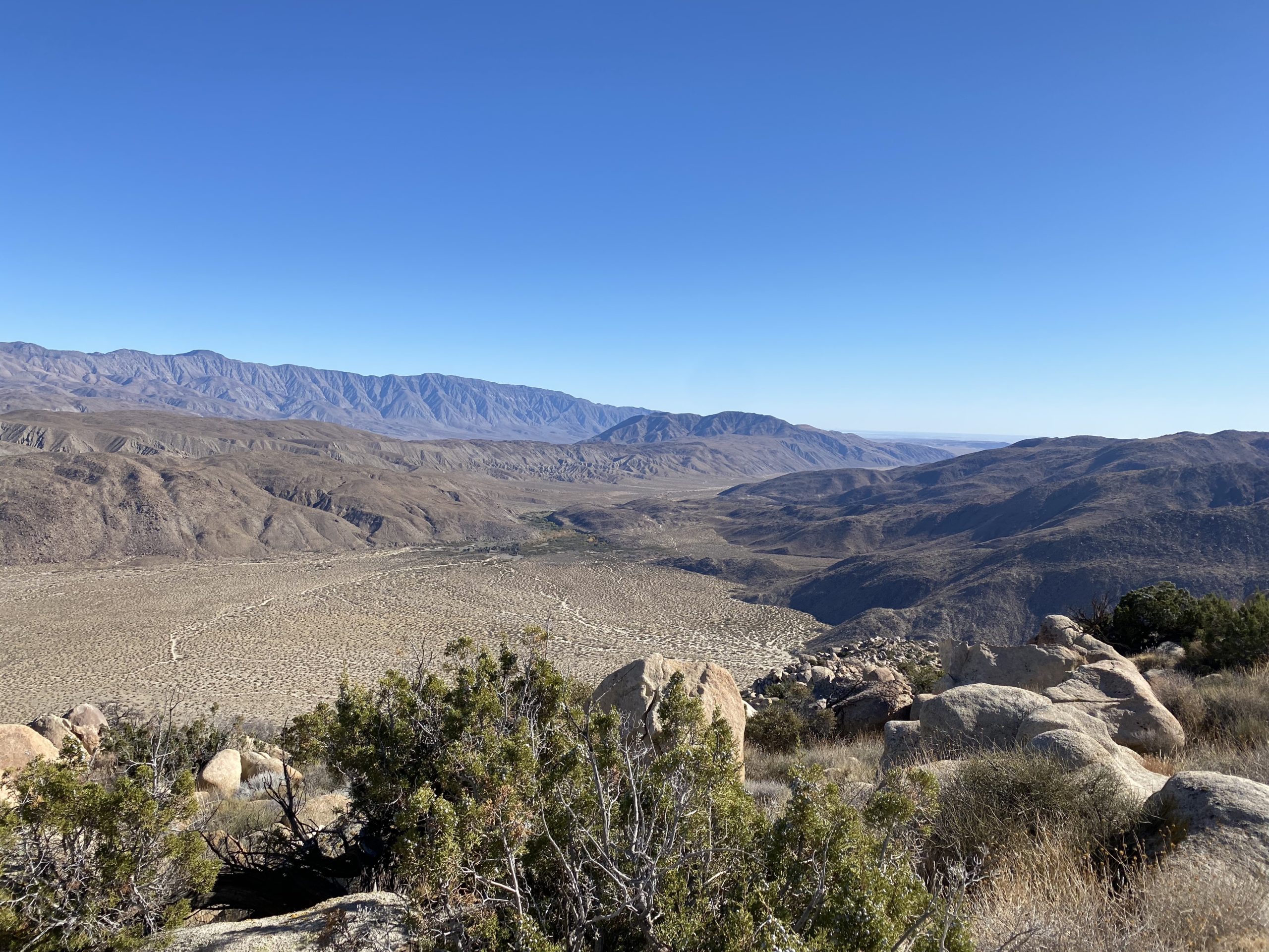
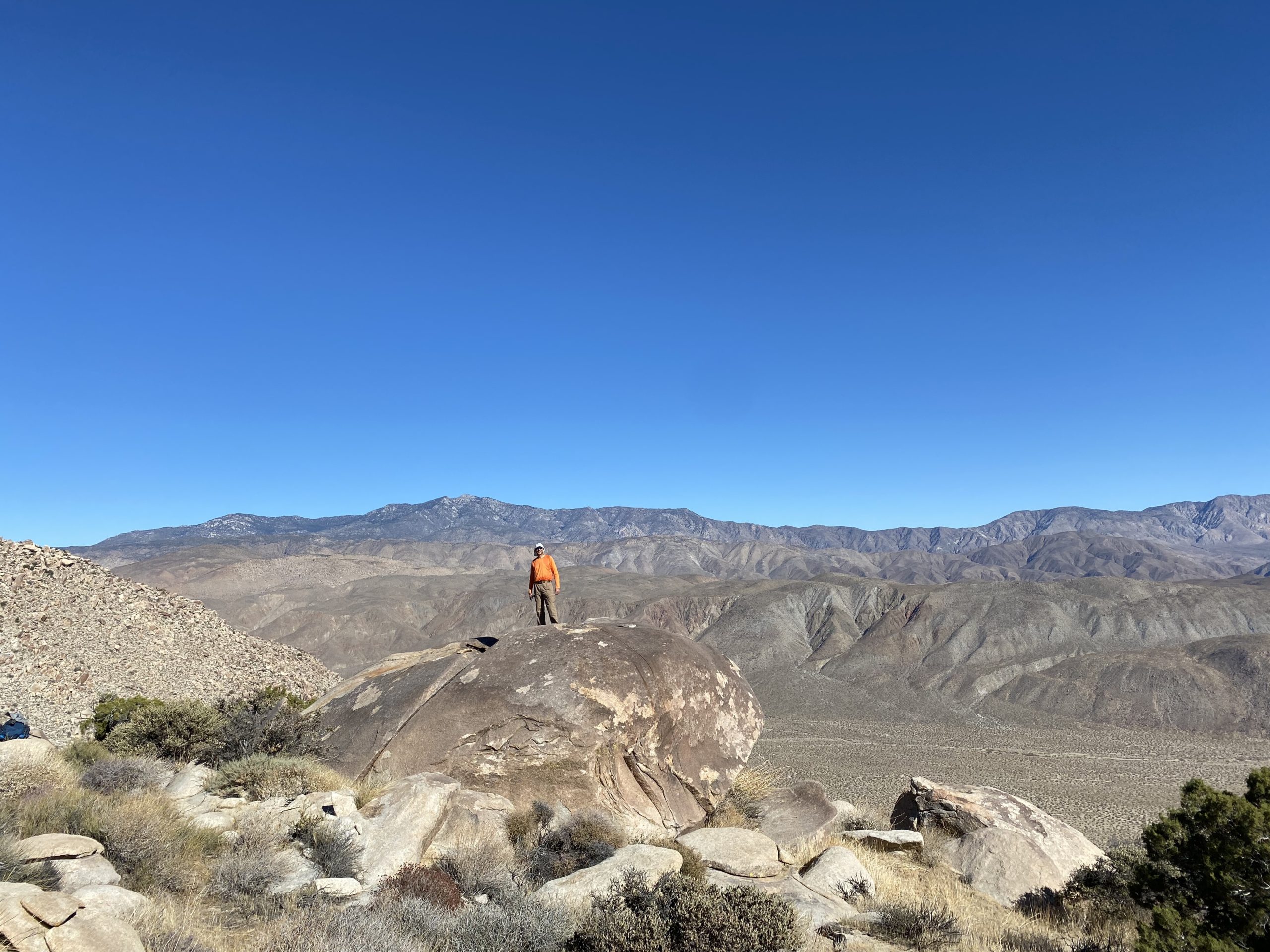
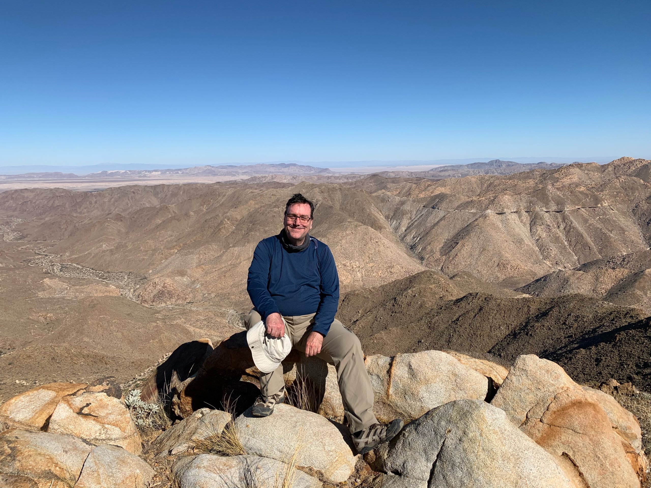
Palm and Elder, two of my remaining peaks stood directly to the east. This peak was our halfway point of the hike. I tried eating my peanut butter and jelly sandwich, but it was just not happening. We signed the register and took our photos. I was nervous about our return, as we had about 6.5 miles back to our cars, and a lot of elevation to regain. We scouted out the basic route that we would follow back to the saddle where we had cached our water. Thankfully, the terrain did not look as challenging as that descent from Collins but was still imposing.

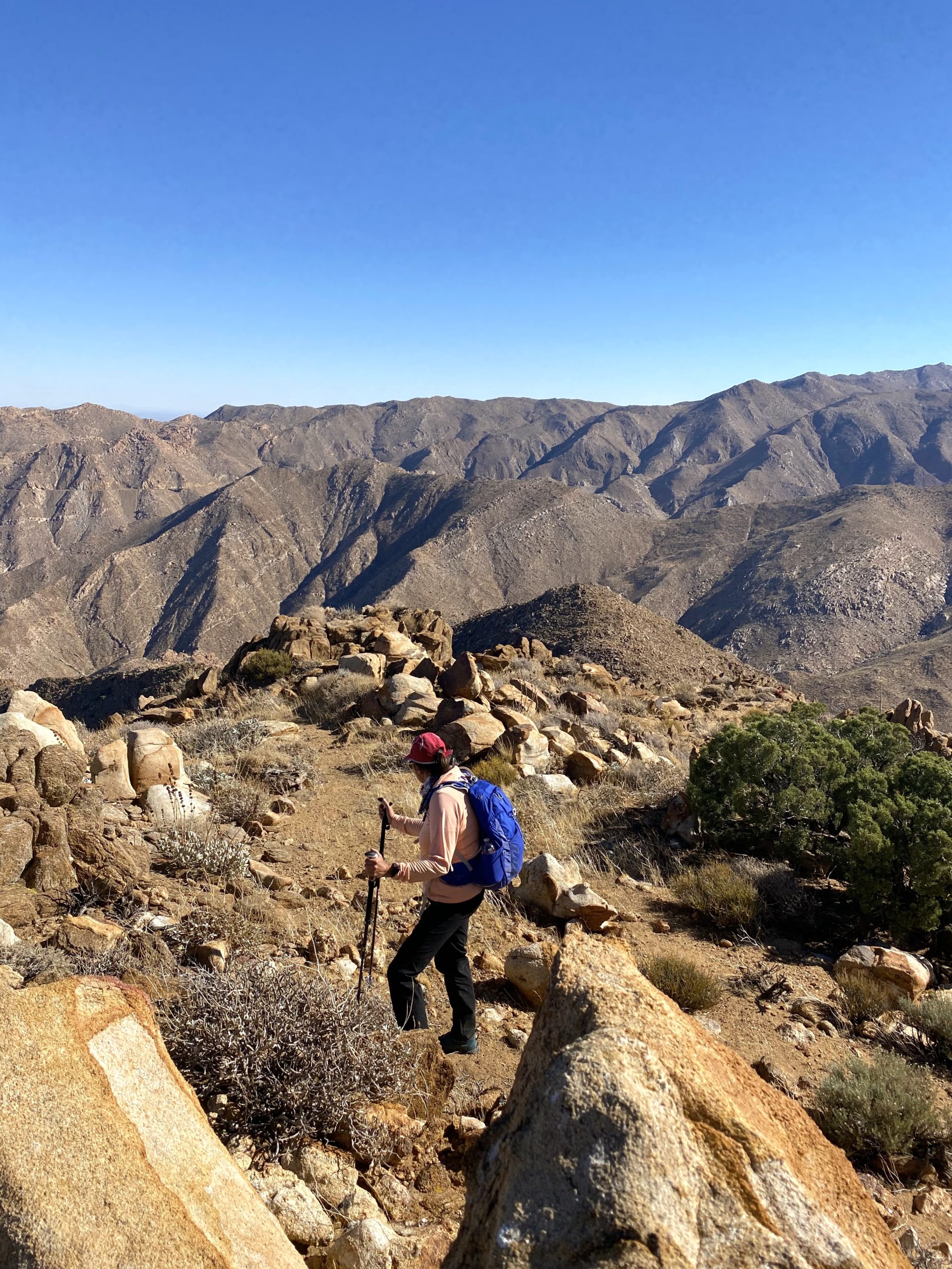
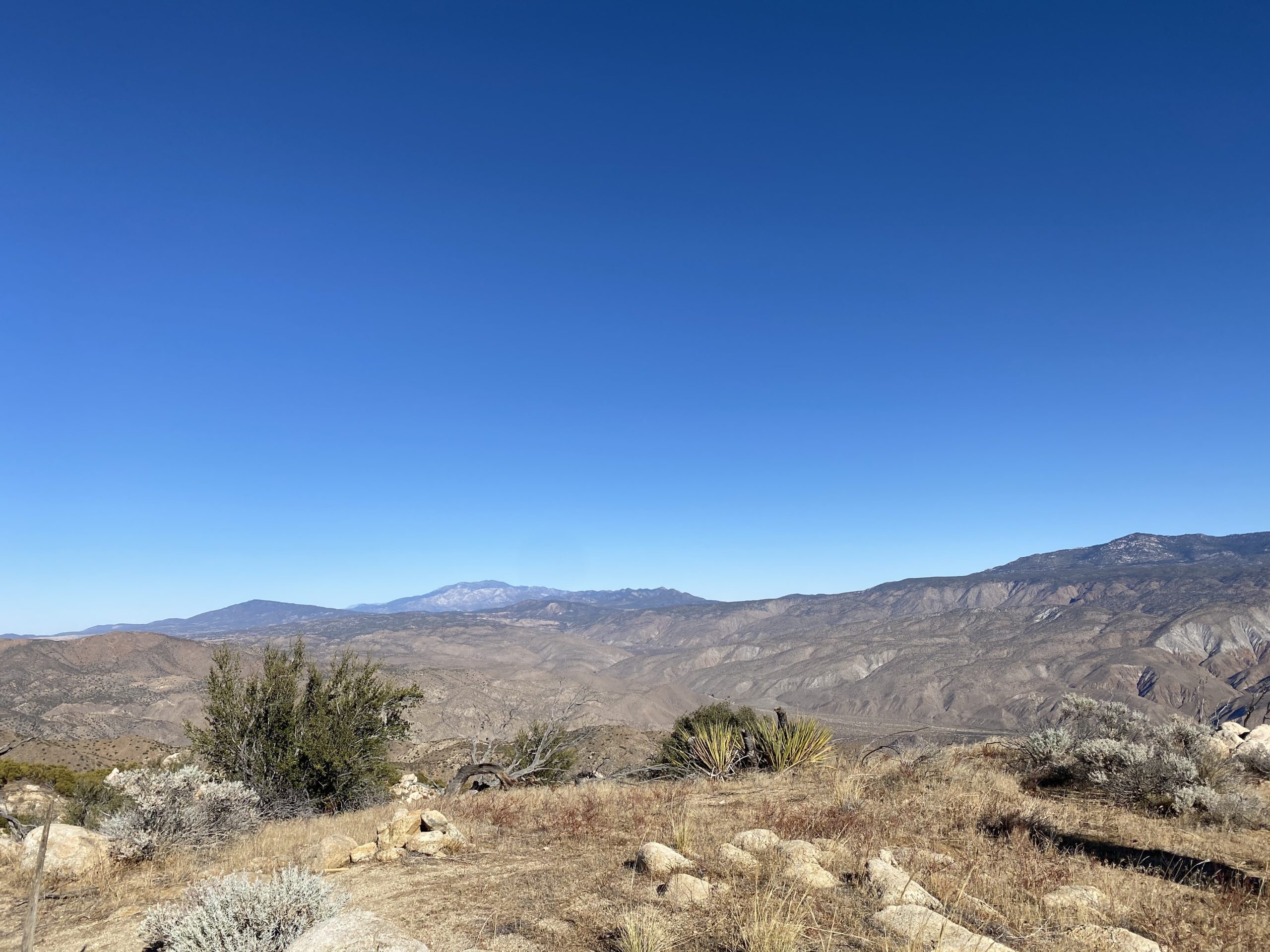
We headed down from the summit, being mindful of our remaining daylight. One of the disadvantages of doing it in late November versus mid-March was the amount of daylight we had. Our goal was to reach that saddle and then the firebreak before dusk. As we began working our way up, I really started to fade. About every quarter of a mile or so I would have to stop and rest for a bit, and I was getting worried. The rest of the group kept pushing me forward. Matt graciously took some of my pack weight off me to help. I have to admit, I seriously gave consideration to using my rescue beacon, as I did not want to put the rest of them in danger. Somehow, I found the strength to push on. Reflecting upon this a few days later, I think if we had done this with another hour of daylight, we might have eased our pace, and I might have had more gas in my tank for this section. Once we had reached the saddle, and the 1,600 feet of gain in only 1.75 miles were behind me, my energy and spirits did pick up.

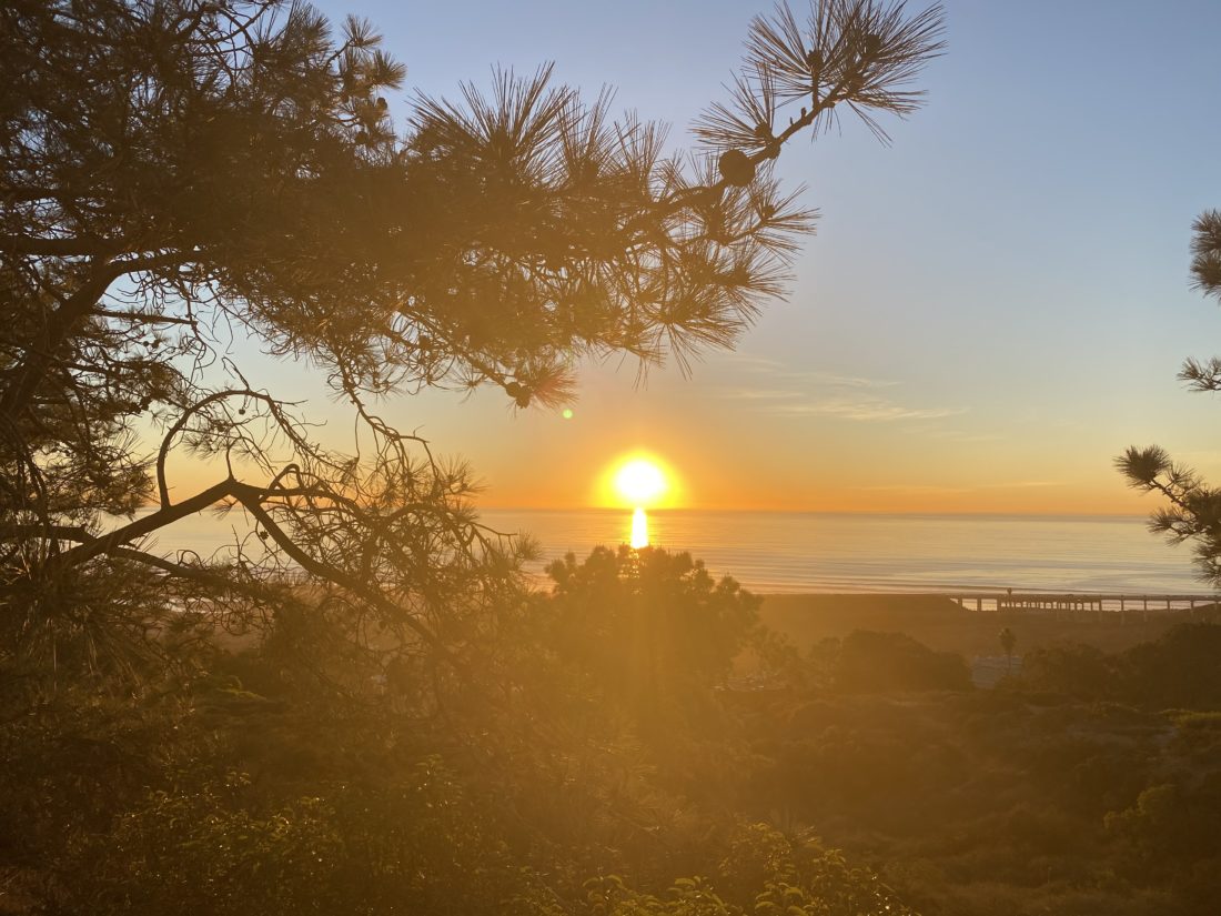
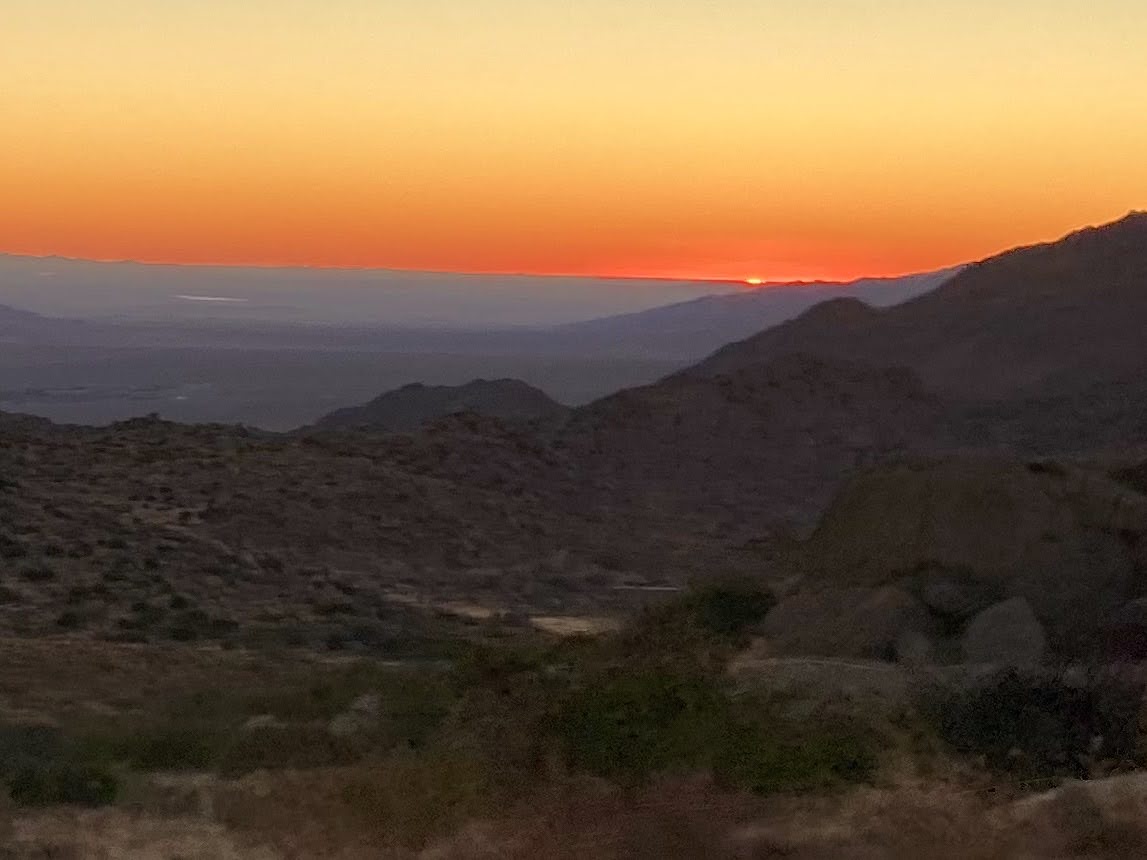
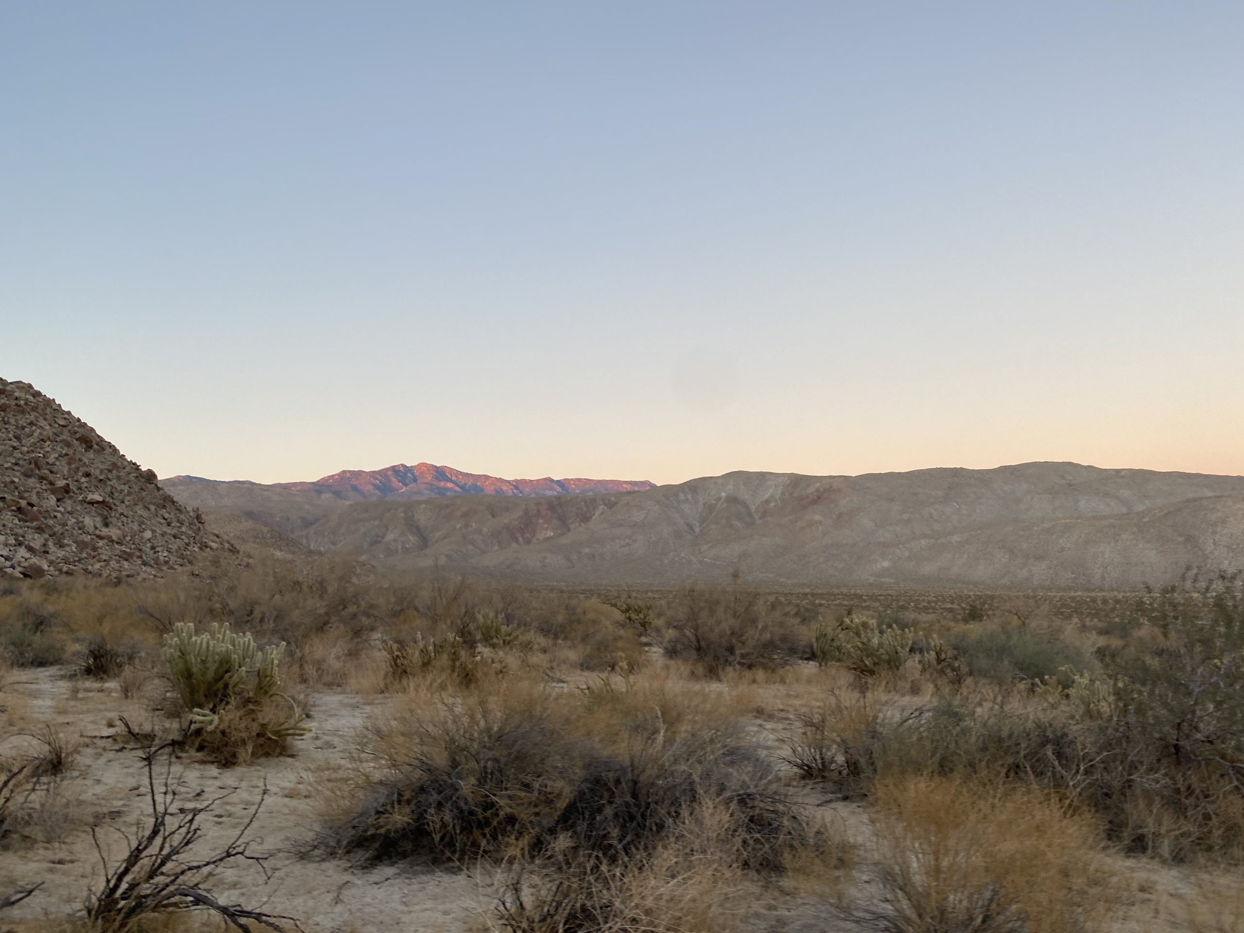
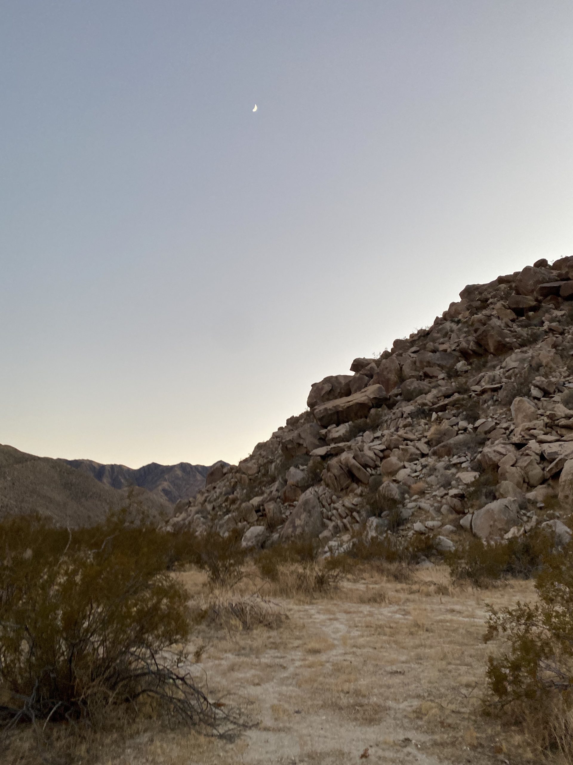
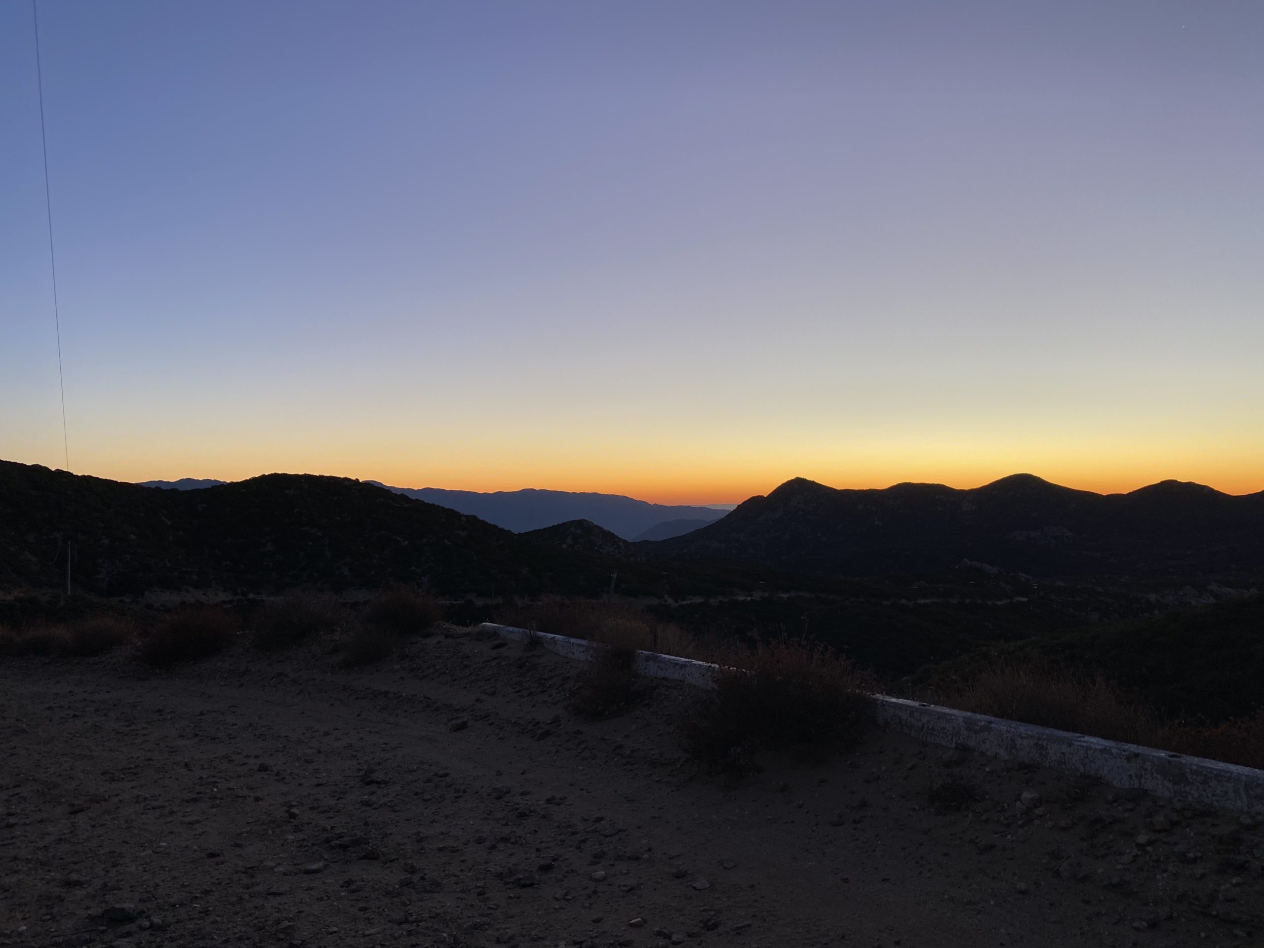
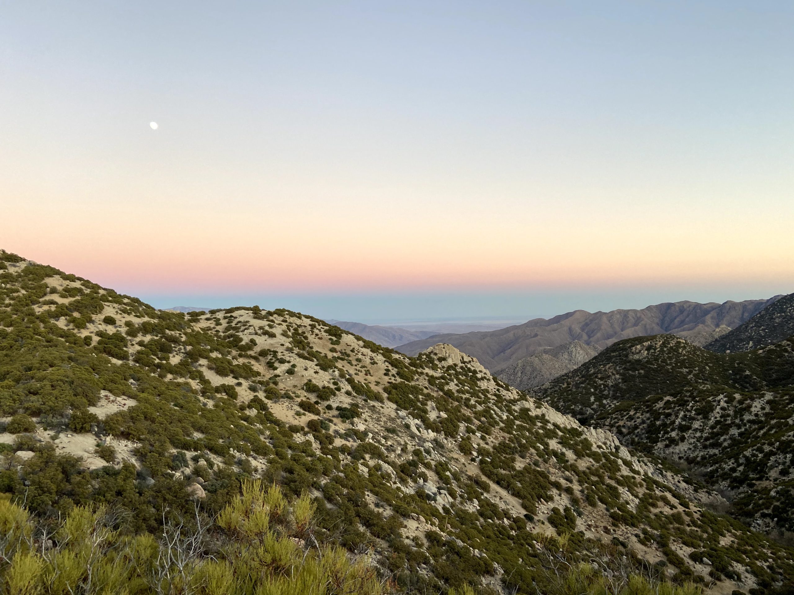
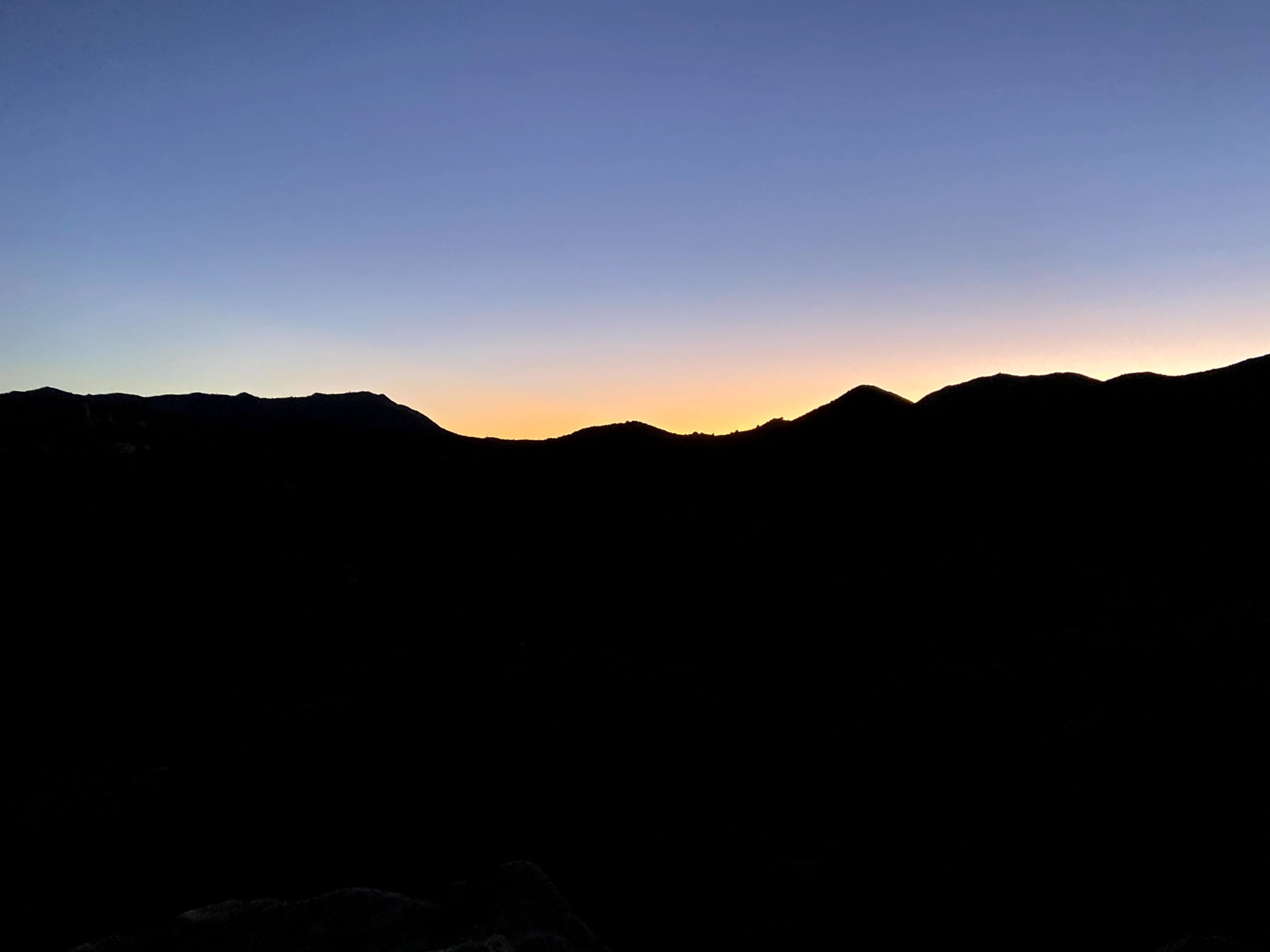
While we still had almost 4 miles to go, and 1,300 feet of elevation still to cover, I was mentally feeling better. We had all mentioned at one point being a bit nervous about this hike, I guess some of that fear did get to me. I stayed focused on continuing, calling out to Ted to grab a photo once in and while. I was now feeling guilty about forcing the rest to spend more time hiking in the dark than planned. Soon, the sun cast its final glow across the desert behind us, offering a beautiful sight. We still had about two hours of hiking left. The moon was up, so we had some slight assistance as we continued on.

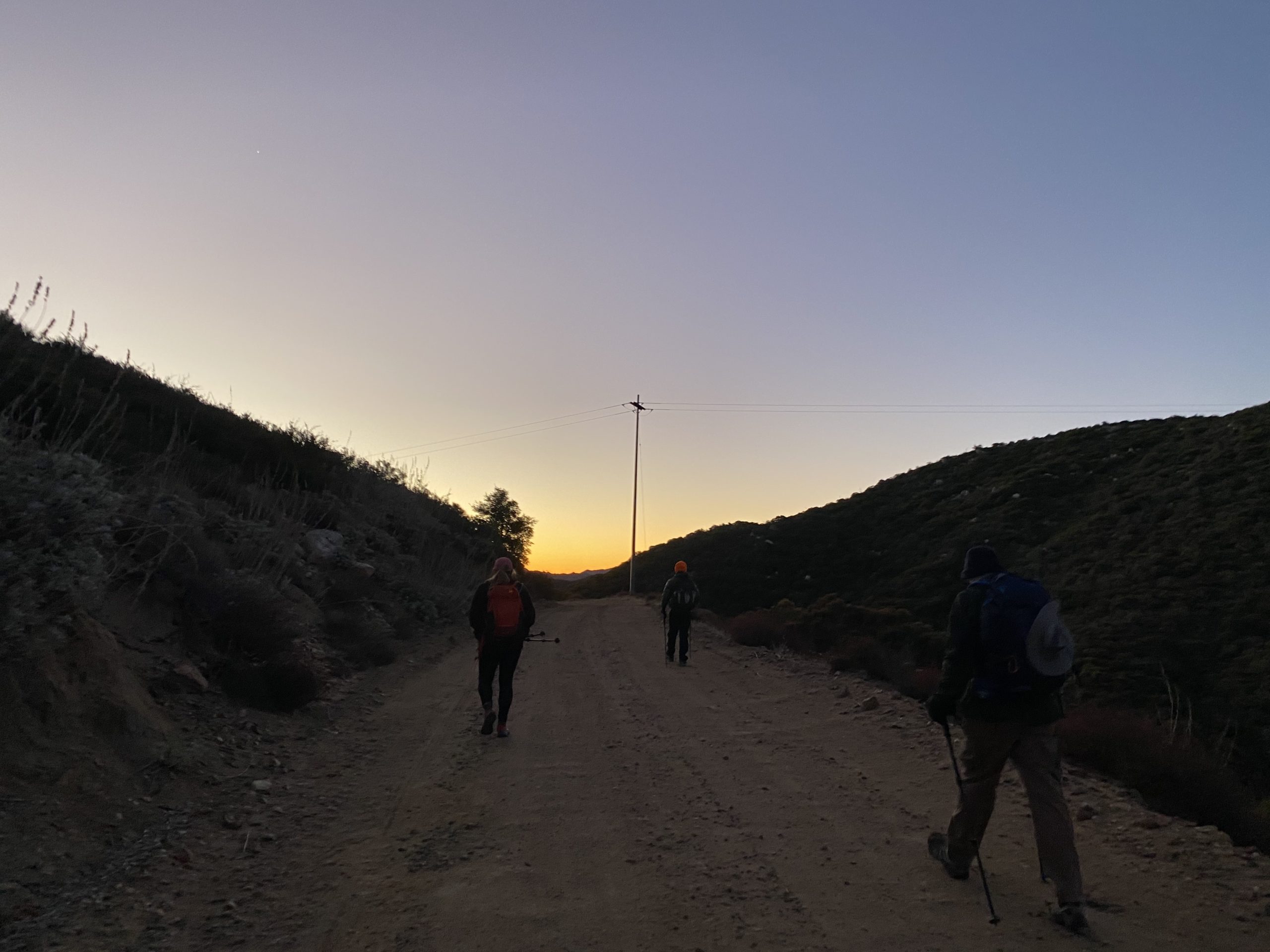
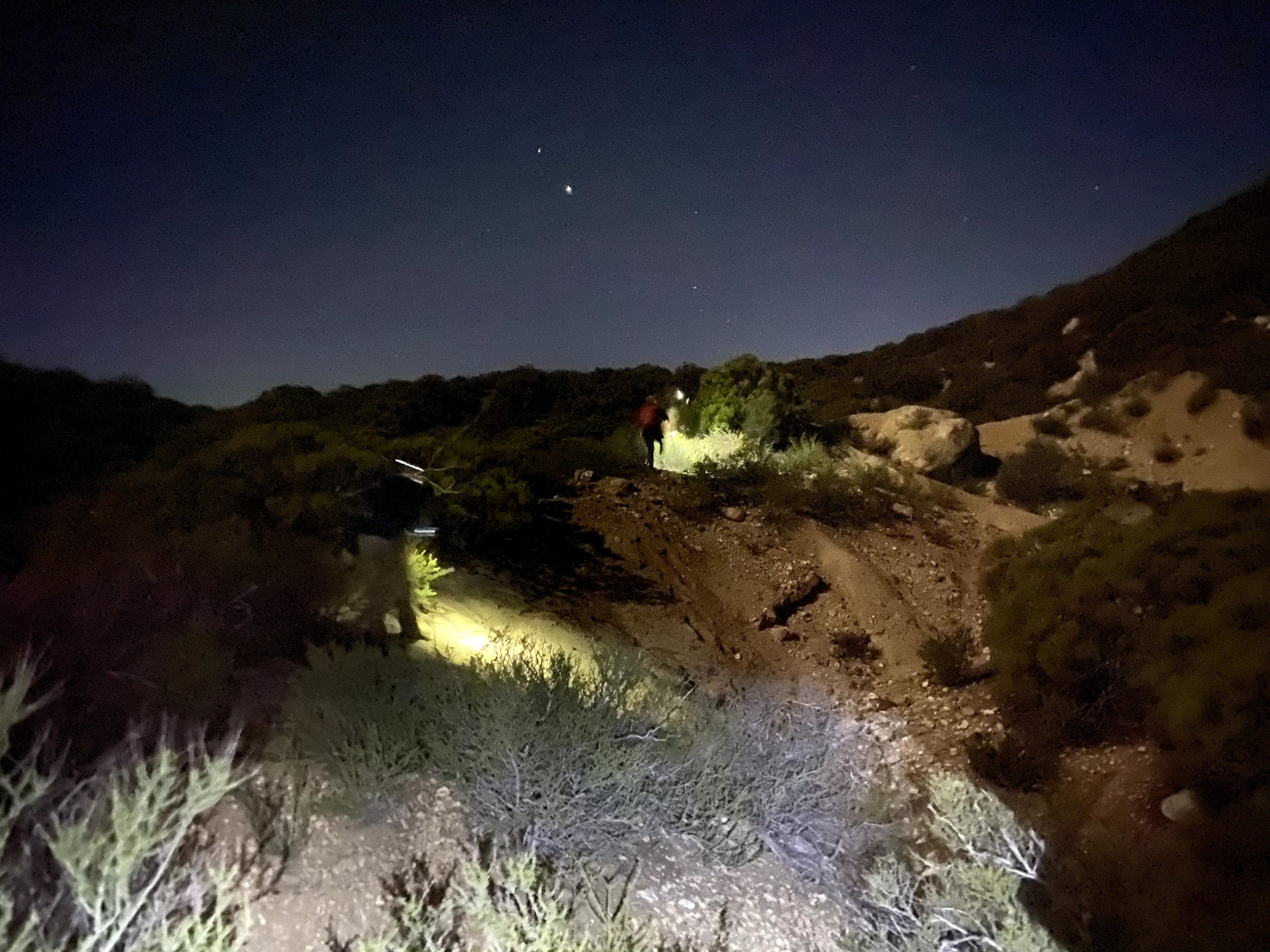
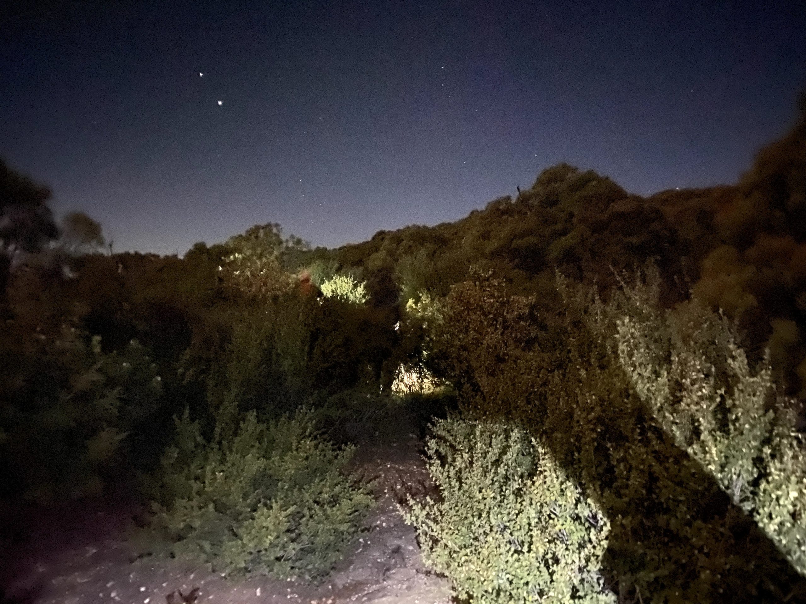
Our headlamps bounced along through the brush, and Matt and Alberto led the way, with Susie close behind. I stayed locked on Susie, and Ted was my rear support. The firebreak was not too bad in the dark, but we knew we still had that section from the firebreak to the road to traverse. Once we left the firebreak, we actually did quite well through that section. We would regroup every 10-15 minutes or so, in order to not spread too far apart. I was doing better, so it was now just a matter of finding our way back to the road and the final 1.25 miles along it to the car.

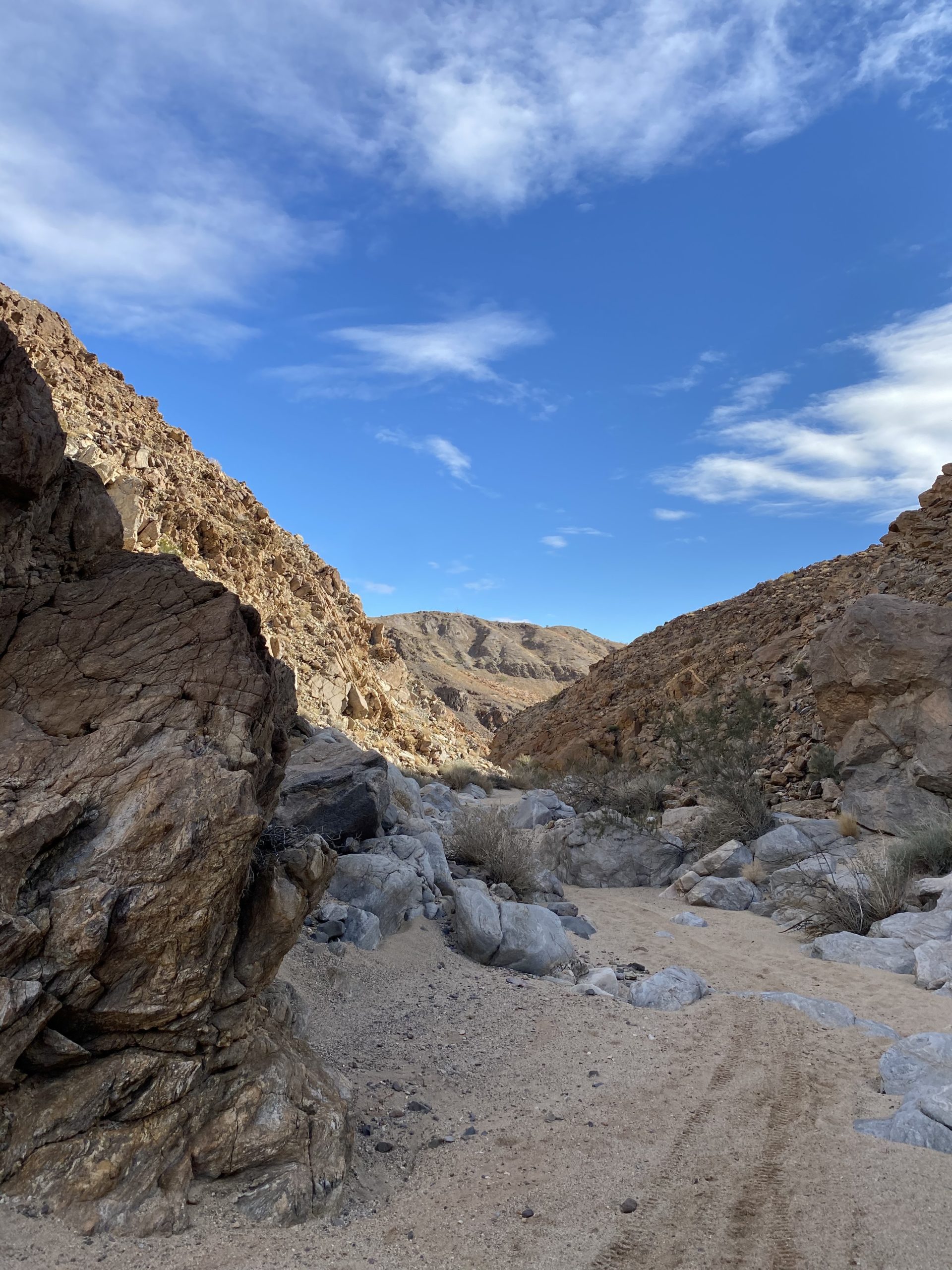
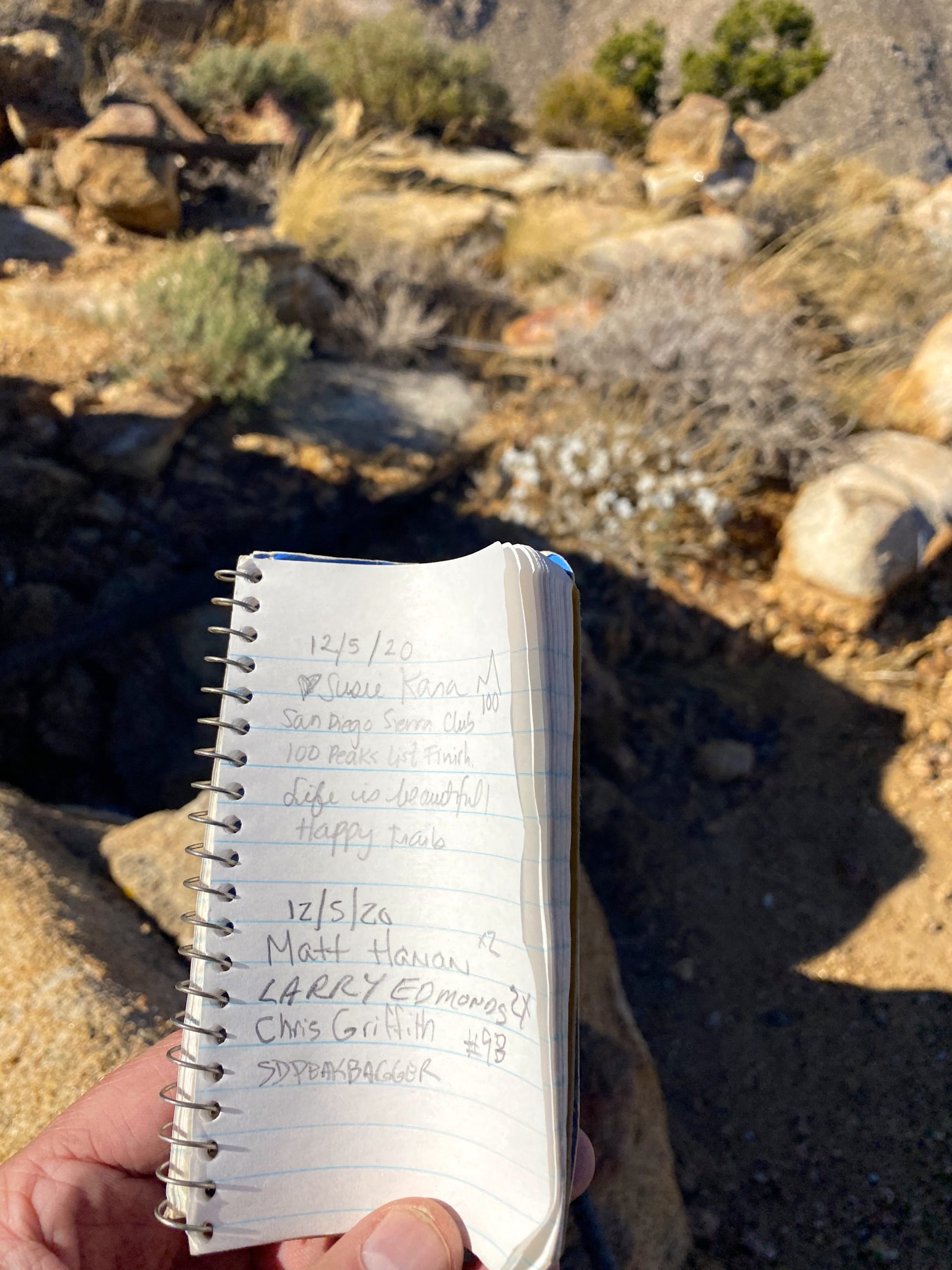
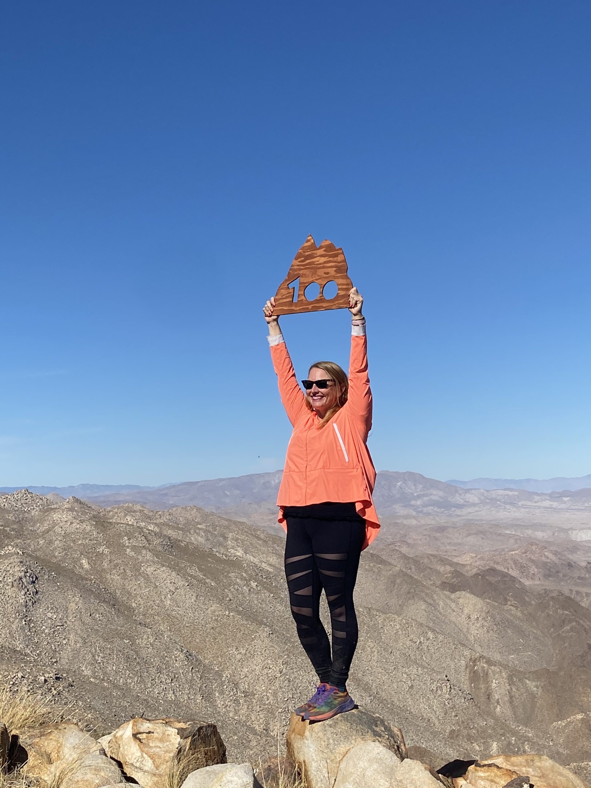
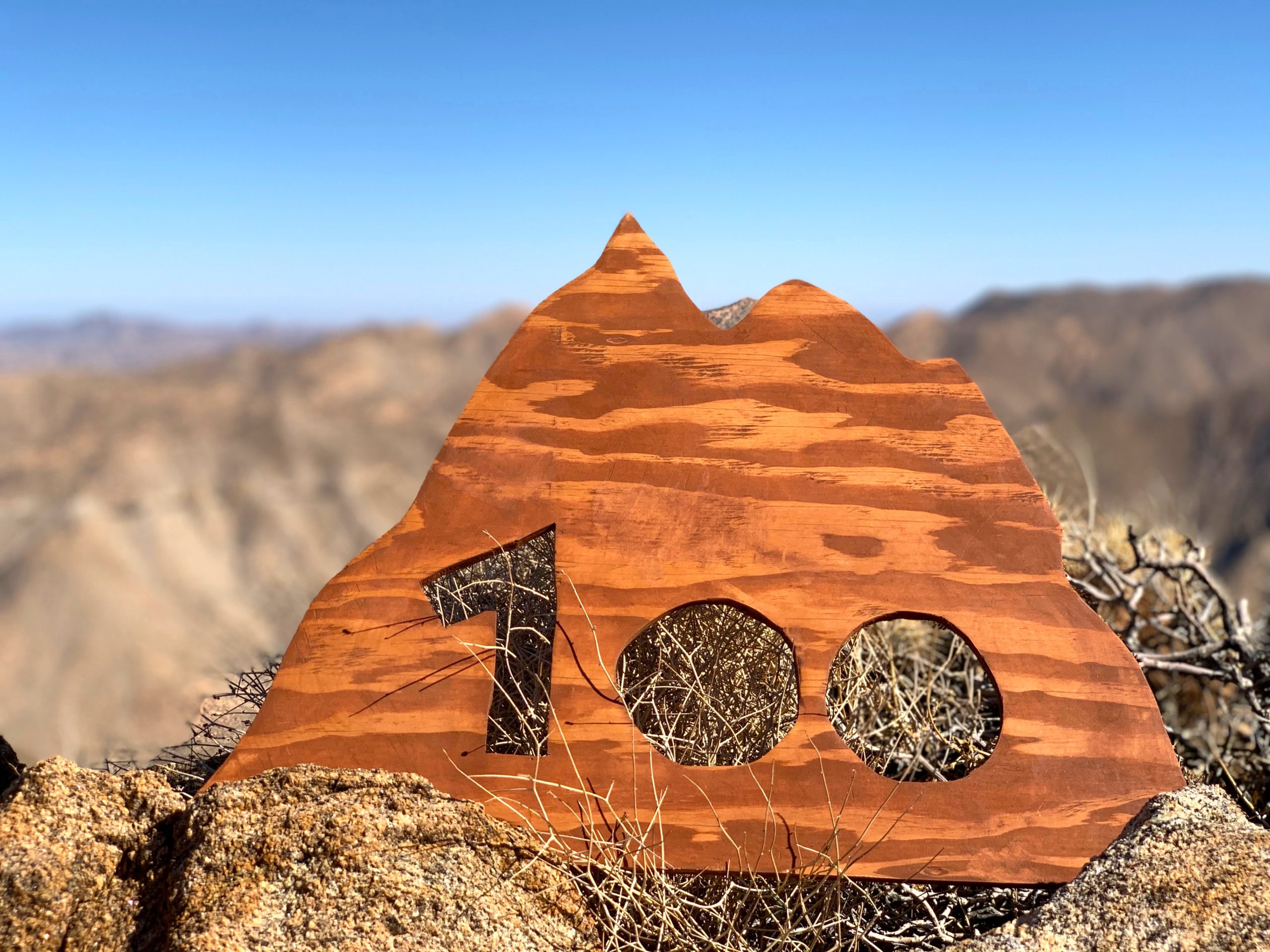
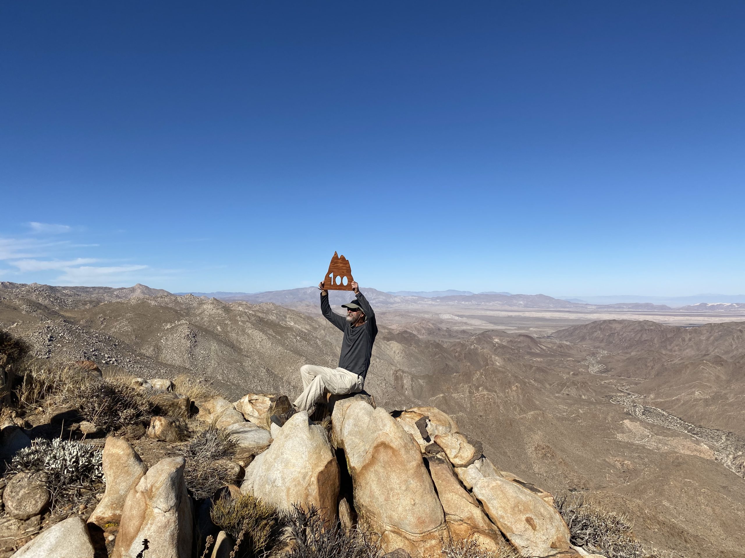
Once we got to that dry waterfall again, I knew we were getting close. Soon, Ted spotted the road in the distance and we knew we were almost out of the cross-country section of this adventure. At the road, we all breathed a sigh of relief, and I thanked the group again for helping me through that. It certainly was one of the most challenging things I have done so far. I took back my fleece from Matt, as it was getting chilly, and set off back up the road. Although we were back on a road, we still had 400 feet of elevation to cover. Ultimately, our cars came into view and our epic journey had ended. With the summitting of Collins and Knob, I now have just 8 more peaks to climb to complete the list. For Susie, those were her 98th and 99th peaks. Next weekend, we should be climbing Gasp Benchmark for her 100th! The stats for this hike according to Ted’s GPS watch were: 14.2 miles in 13:10 hours, with 5,260 feet of elevation gain/loss. Again, I am very thankful for my hiking partners who helped me conquer these peaks.


Buy Me a Coffee at ko-fi.com

I am an avid peak bagger, sometimes backpacker, and former sea kayaker living in San Diego. I am the co-author of Urban Trails:San Diego, coming in Spring 2026!

In 2019, I became the third person to complete the San Diego 100 Peak Challenge. Not stopping with that accomplishment, I set my sights on the harder San Diego Sierra Club 100 Peak list, which I completed in 2021. In addition, I have conquered several Six-Pack of Peaks challenges (SoCal, San Diego, Central Coast, and both the Arizona-Winter and Arizona-Summer). I am looking forward to exploring new summits and new adventures across the southwest.