Trip Reports

Mt. Pinos, Sawmill & Grouse

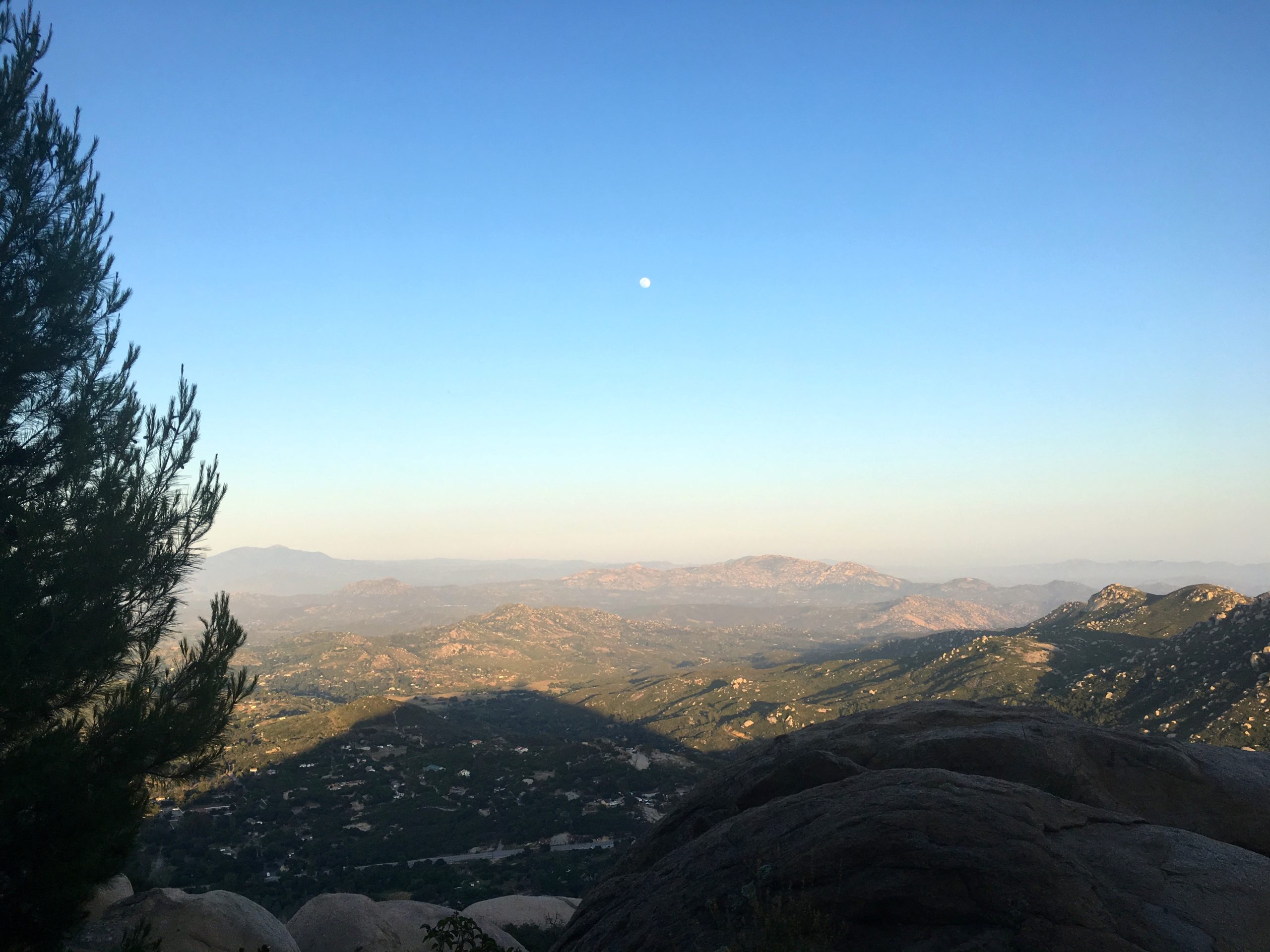
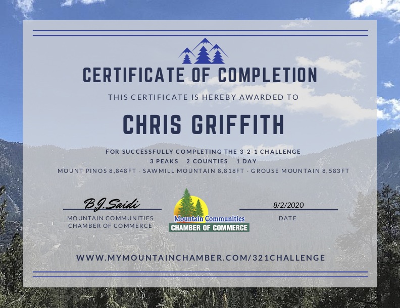
A large golden moon hung low before me, setting slowly in the predawn. Ted loaded his gear in the rear and settled into the back seat, With our masks in place, we set off for the day’s adventure, completing the 3-2-1 Mountain Challenge. This hike would take us up to the top of Mt. Pinos, the highest point in Ventura Country, then onto Sawmill Mountain, the highest point in Kern County, and Grouse Mountain since we are already there. The primary peak was to be Sawmill Mountain, as it is on the 6 Pack of Peaks list.

Ted dozed while we passed through Orange then LA County. One advantage of leaving so early was not having to worry about traffic. We pulled off the 5 at Frazier Park and began heading up to the Mt. Pinos Nordic Base. The parking lot was moderately full. I hung my America the Beautiful pass in the window, grabbed our gear, and set off right about 7 am, some 3 hours after leaving San Diego.

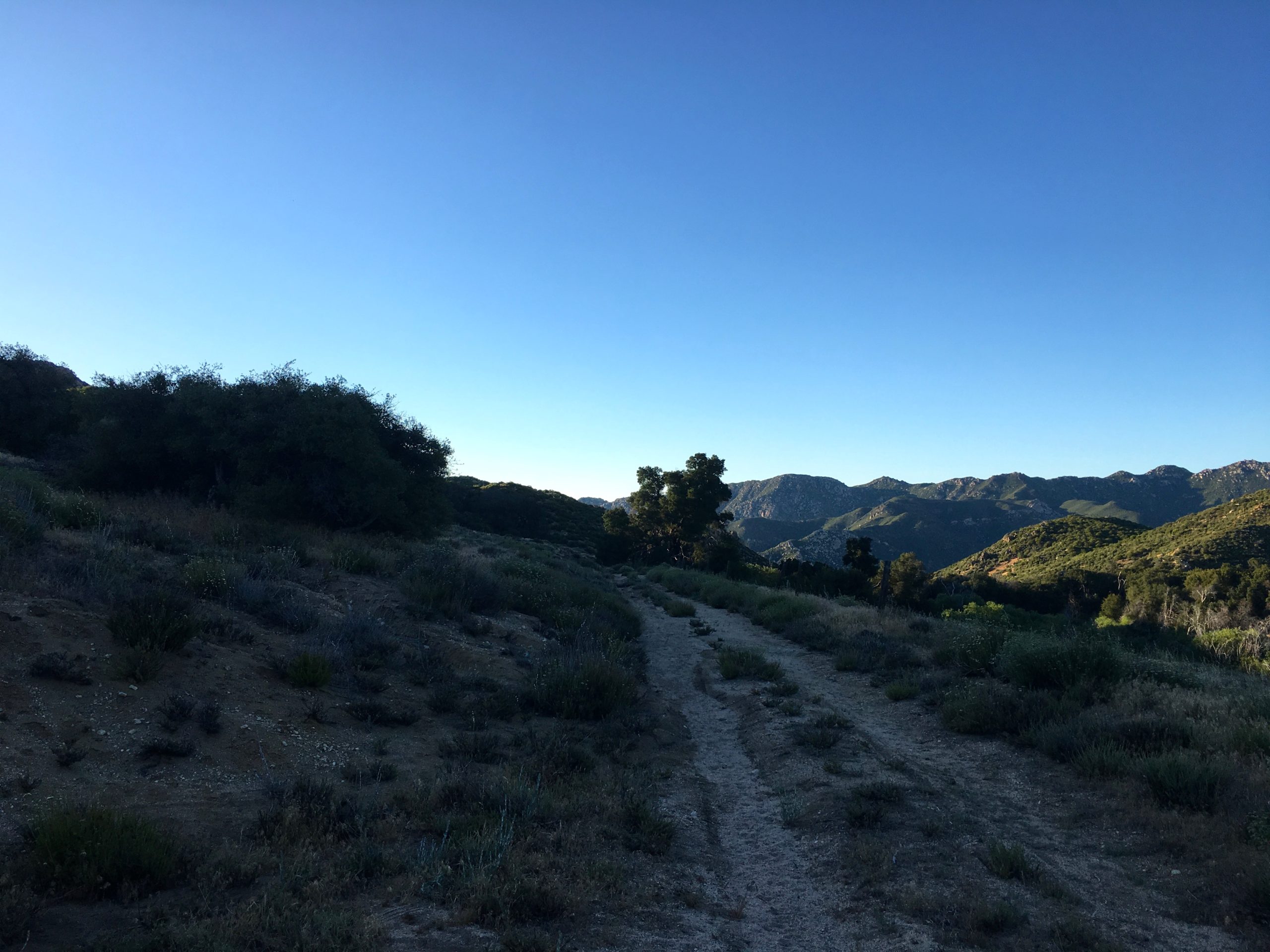
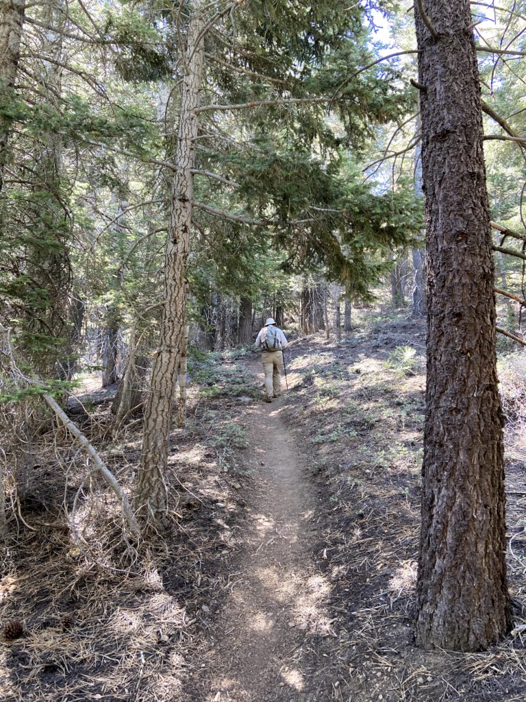
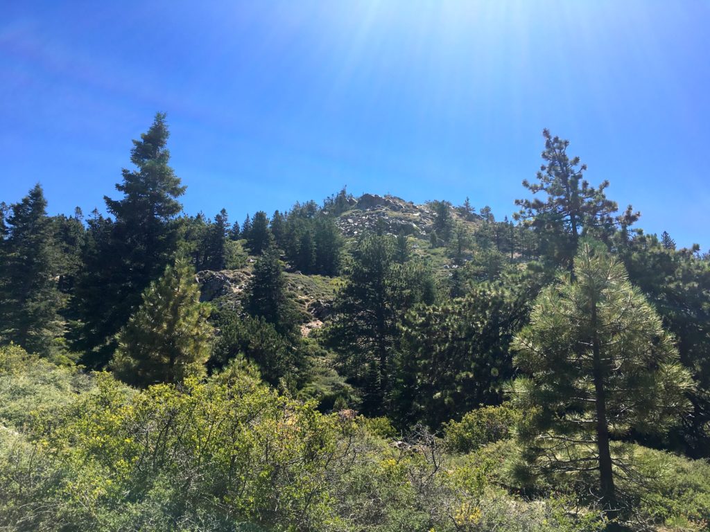
For me, this hike was going to be seeing how my knee responded. I recently had gotten a cortisone injection to help with the inflammation and this was my first significant hike. The trail began working its way up from the parking lot along the nice wide dirt service road. The temperature was perfect and we passed under the shade of the pines. We certainly could tell that we were over 8.000 feet as we continued the pleasant climb toward our first summit.

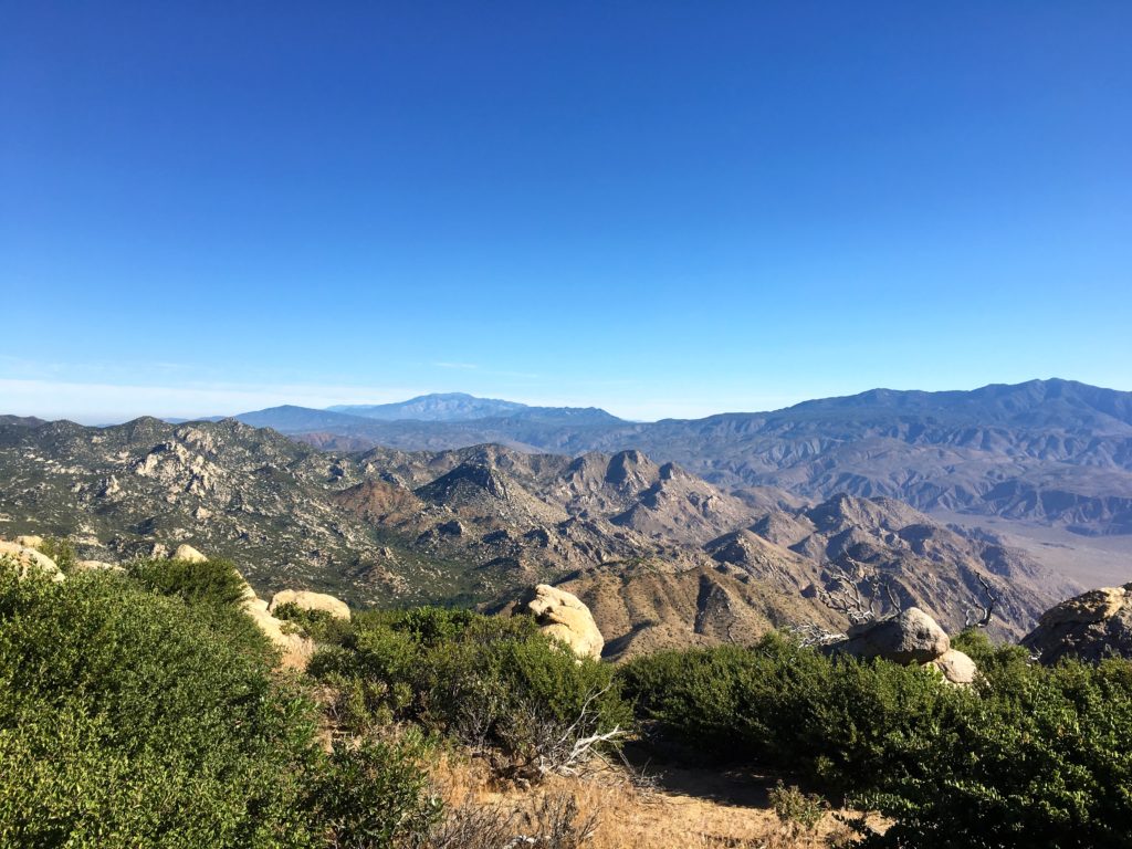
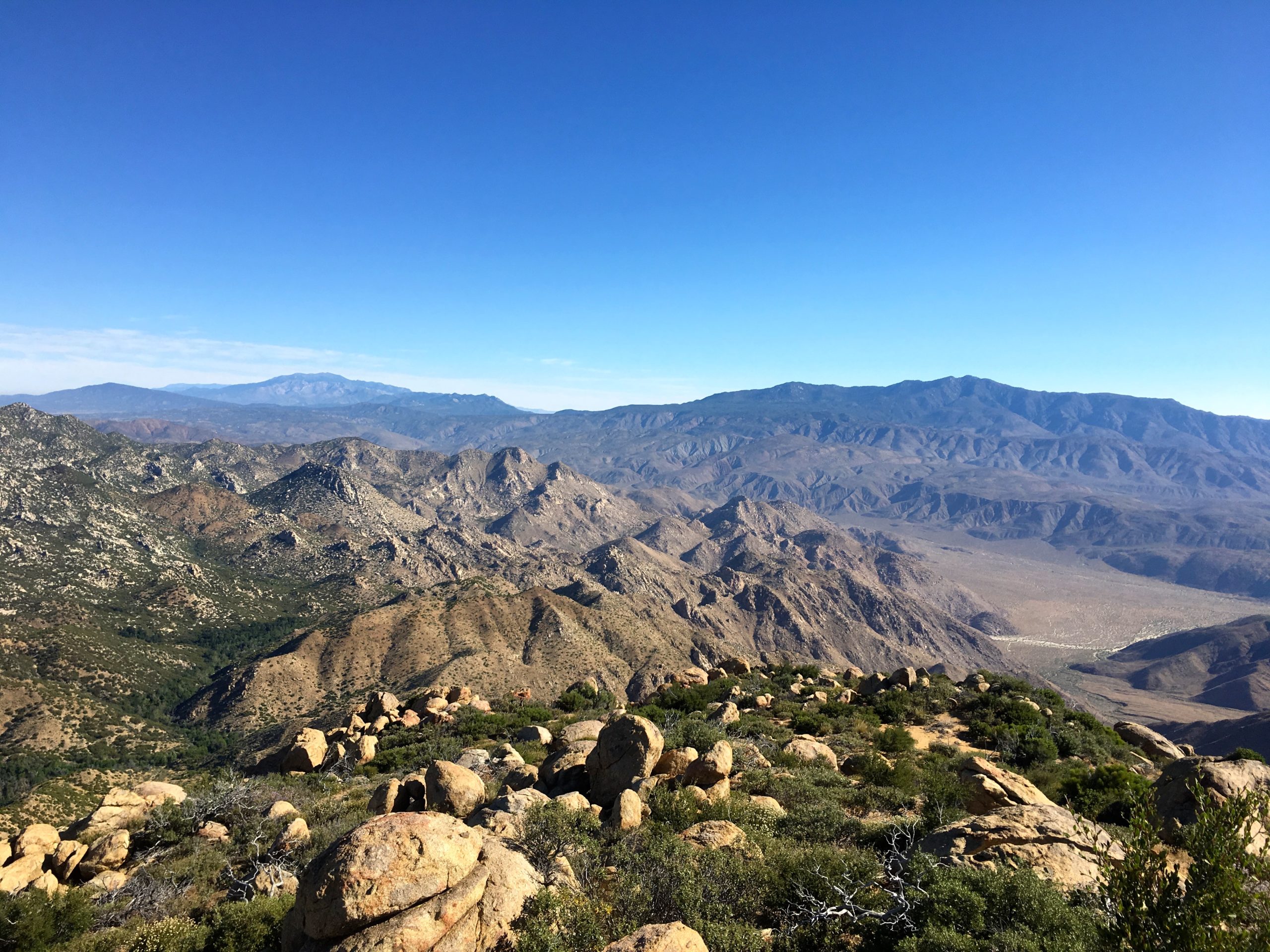
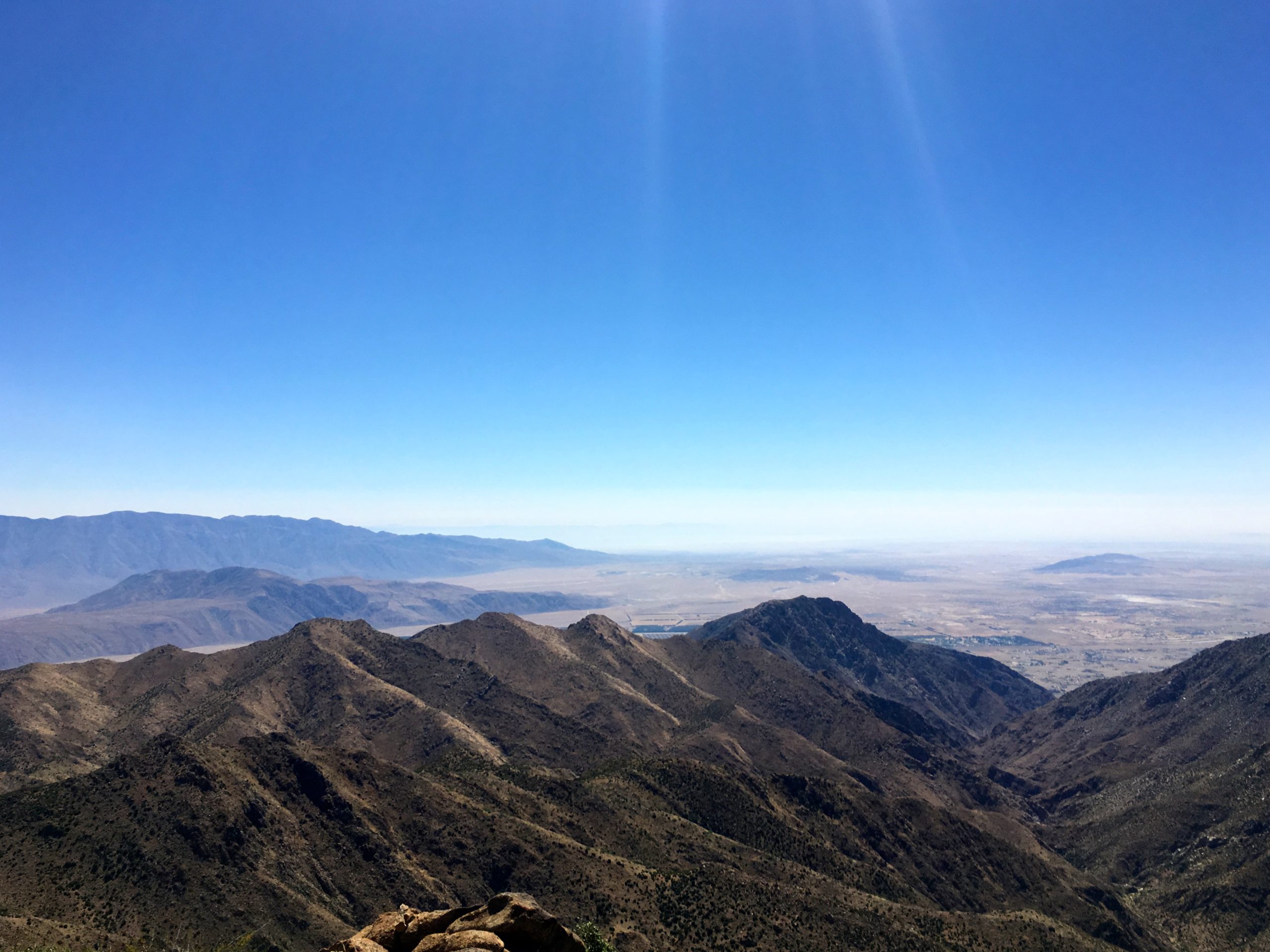
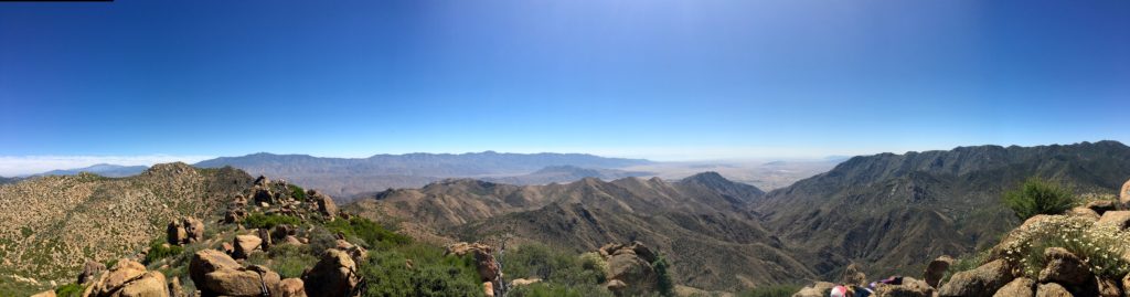
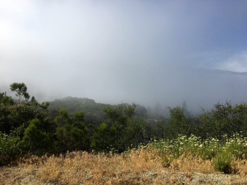
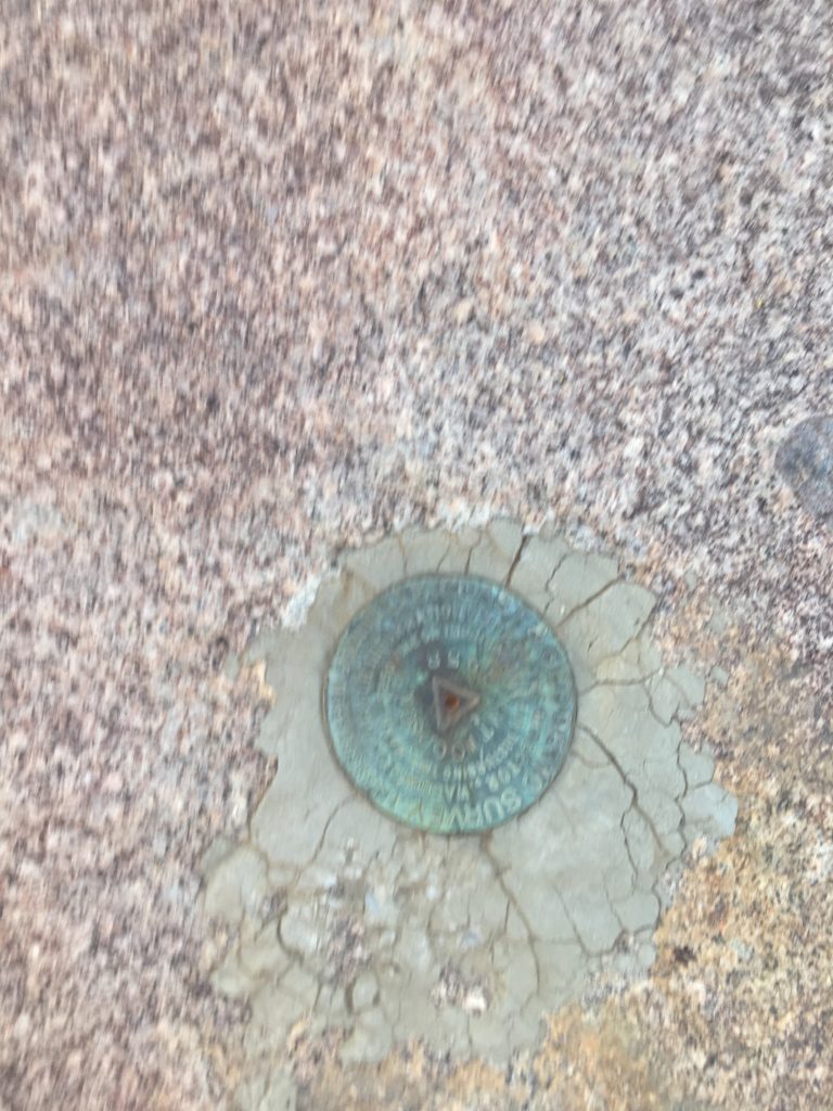
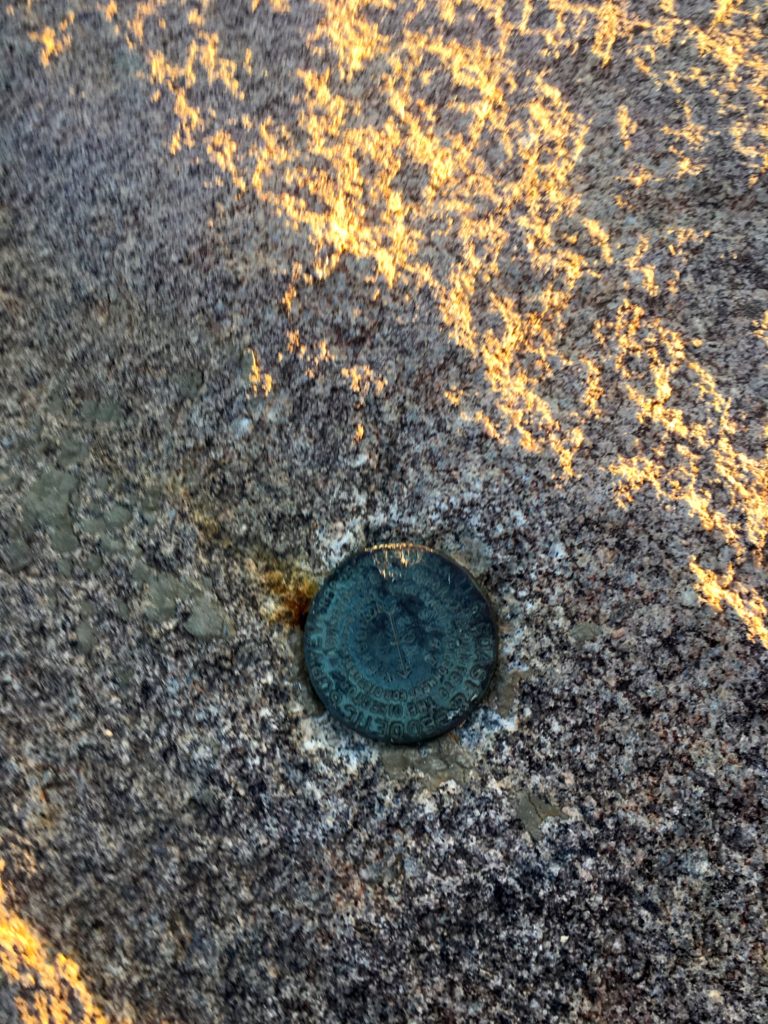
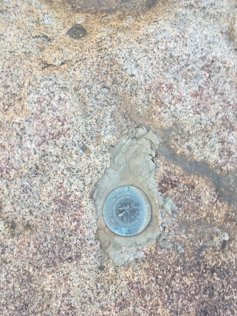
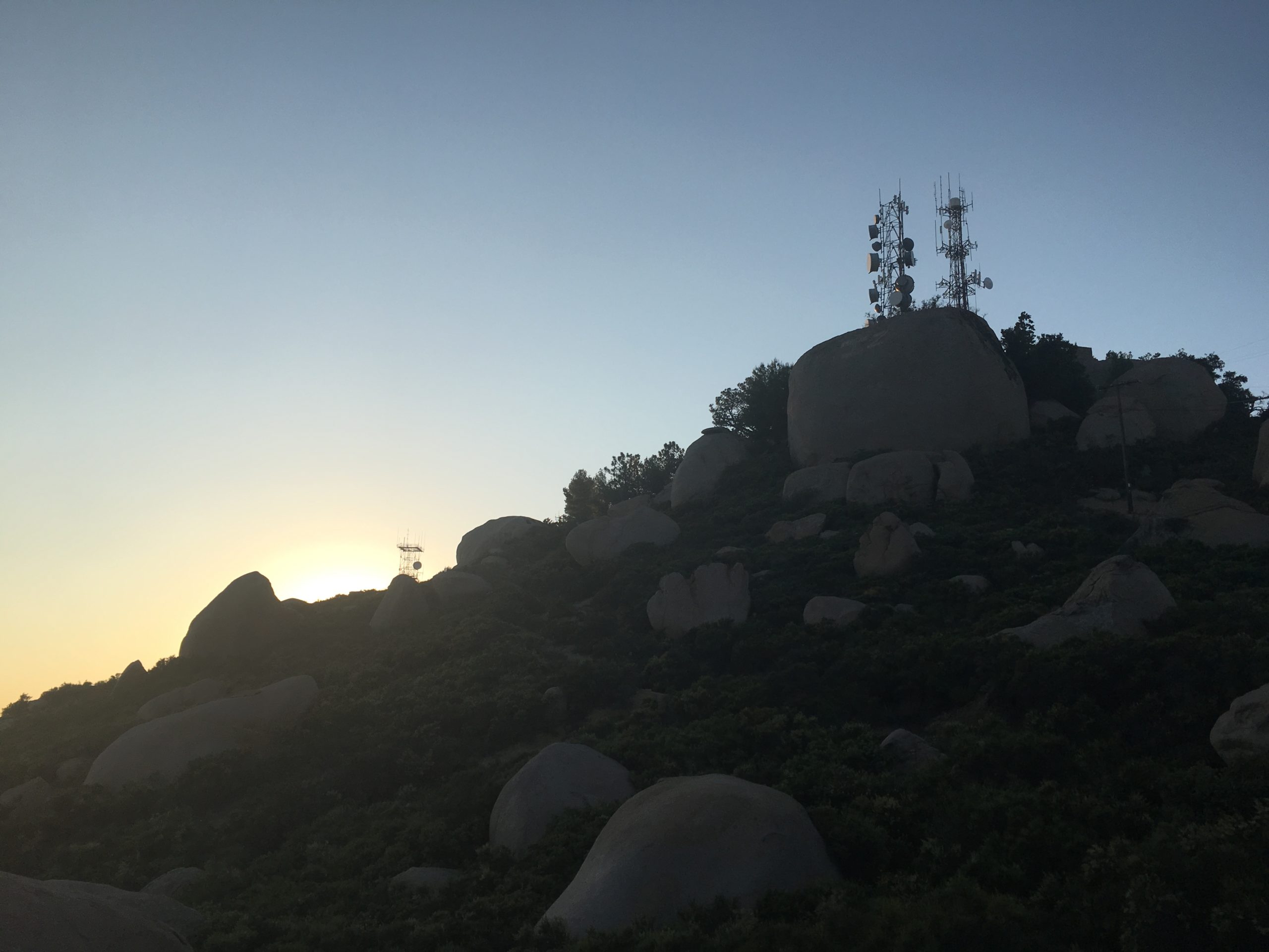
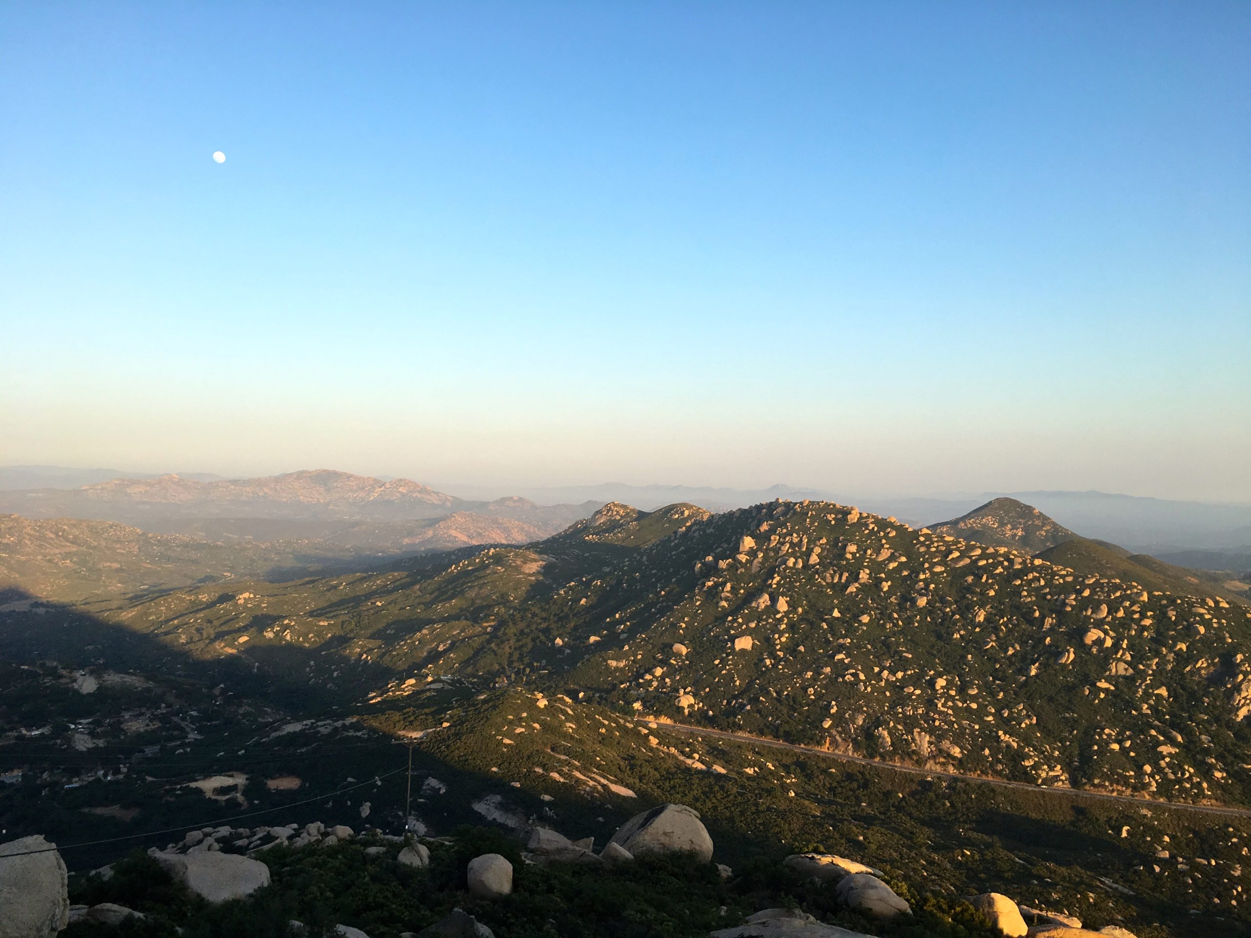
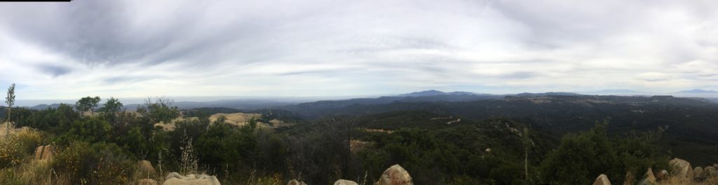
We passed through some wide dry meadows, with a few flowers still remaining. Soon, the radio tower for Mt. Pinos came into view. The peak itself is round and indistinct, and much of the view is dominated by radar antennae. We found the benchmark and a reference mark while surveying the San Joaquin valley in all its hazy glory to the north. This was to be the highest of the three primary peaks of the day at 8,818 feet.

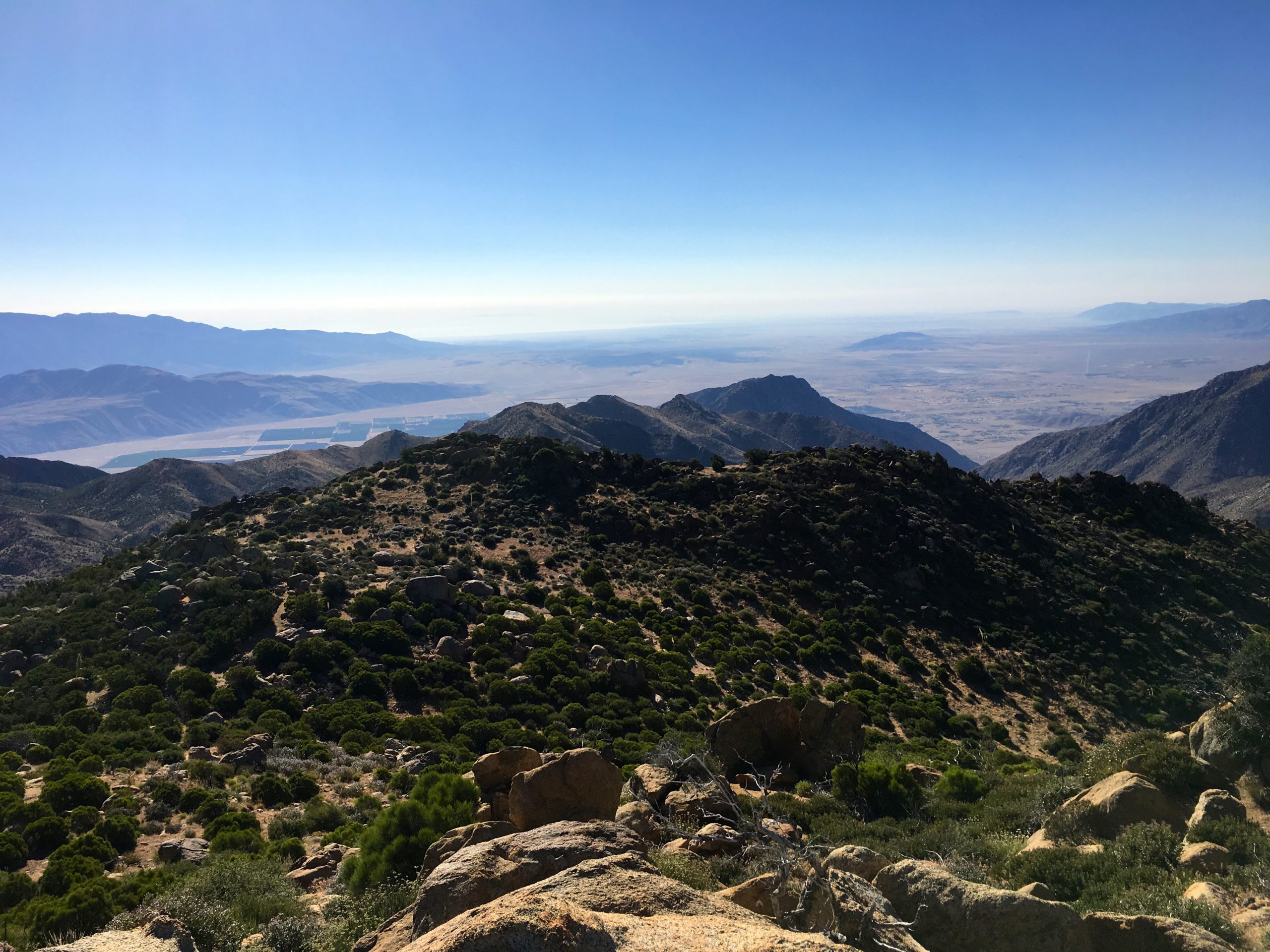
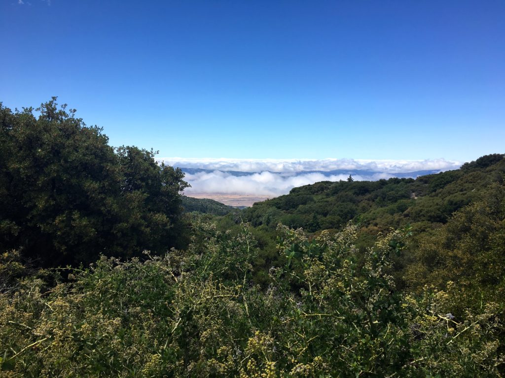
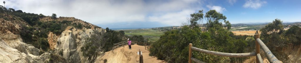
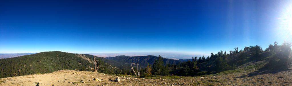
The wide dirt road continued eastward until the Condor Observation Site. Two nice benches afford a lovely spot to sit and gaze south and onto the Sespe Condor Sanctuary.

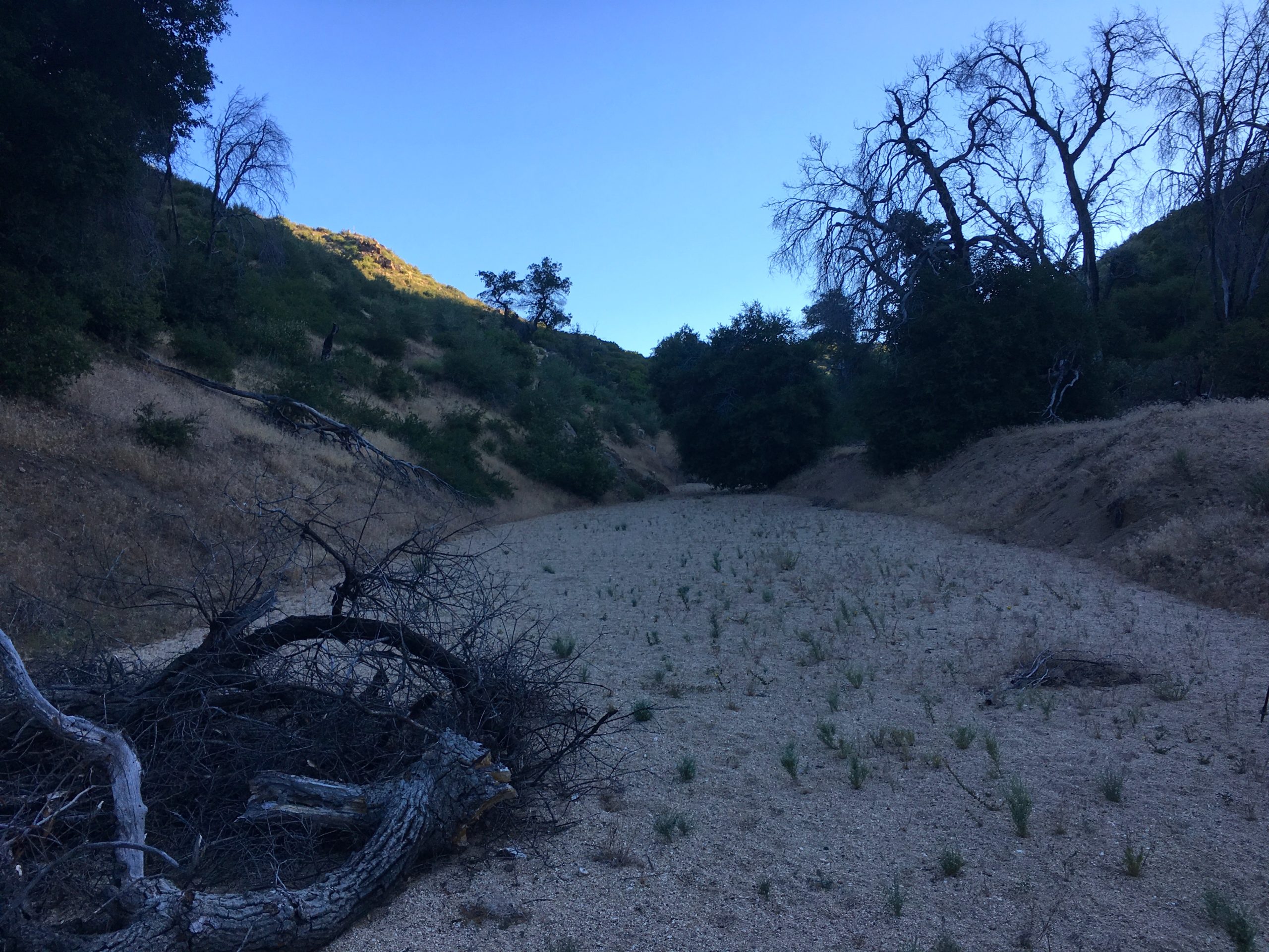
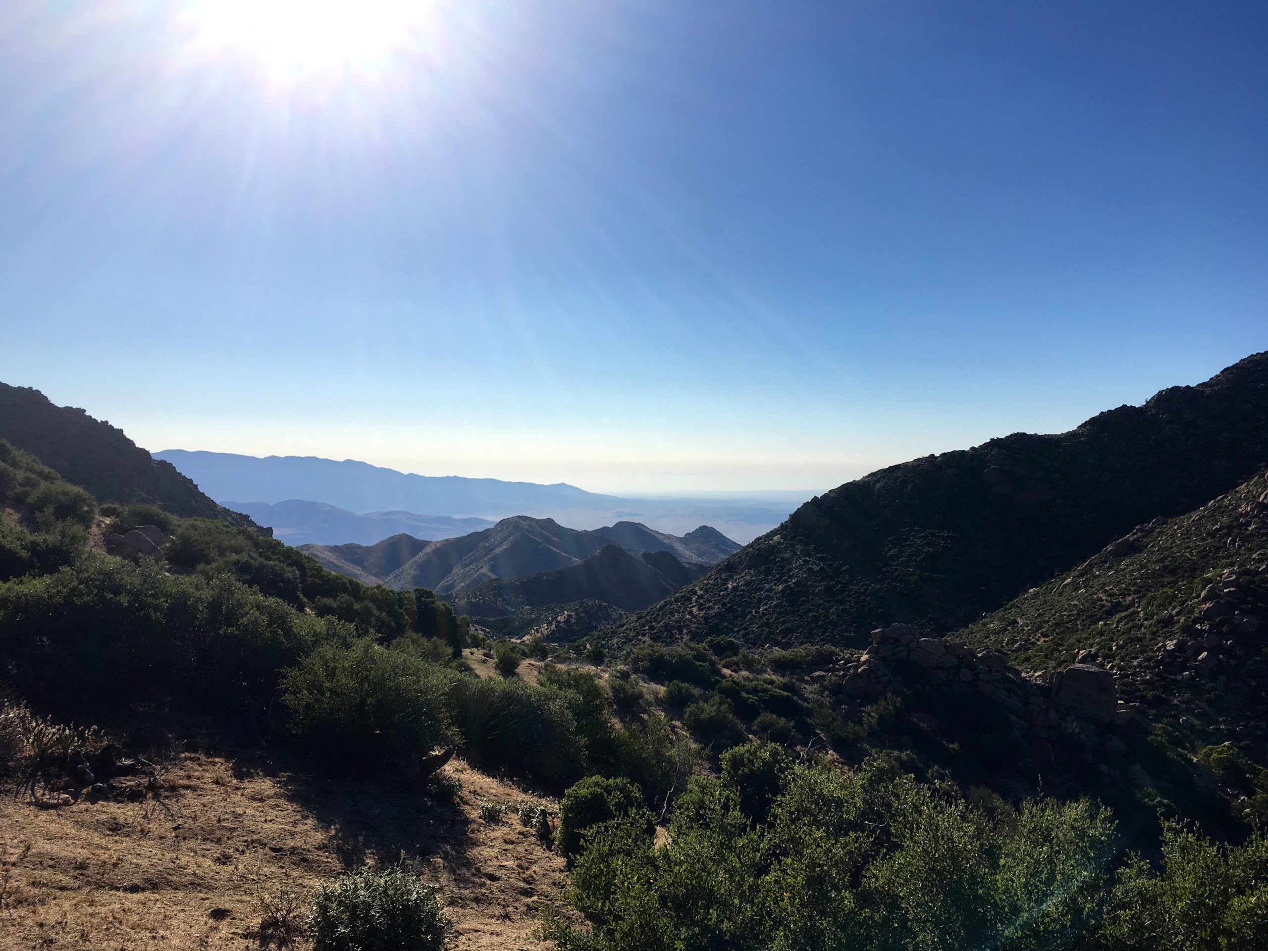
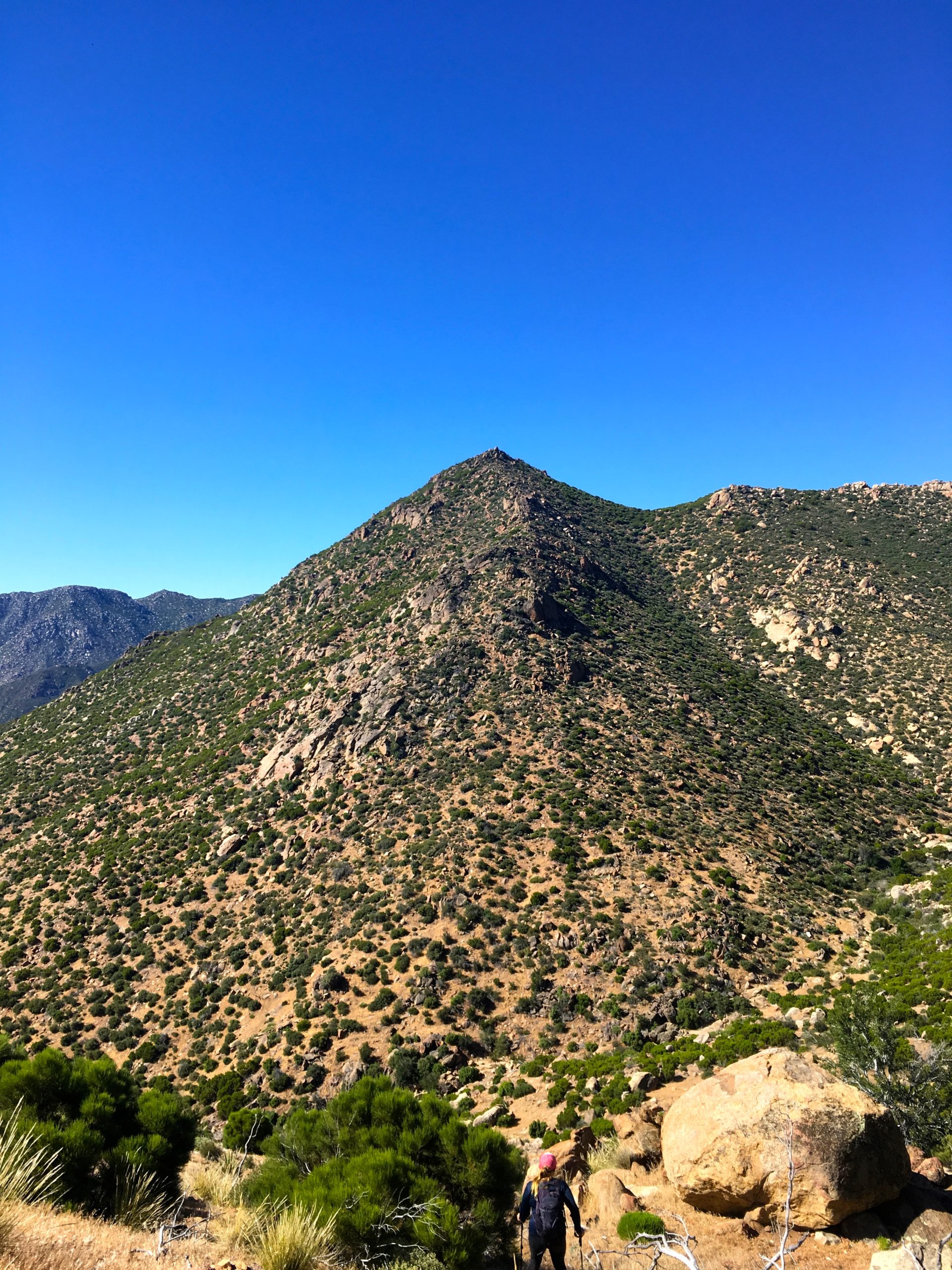
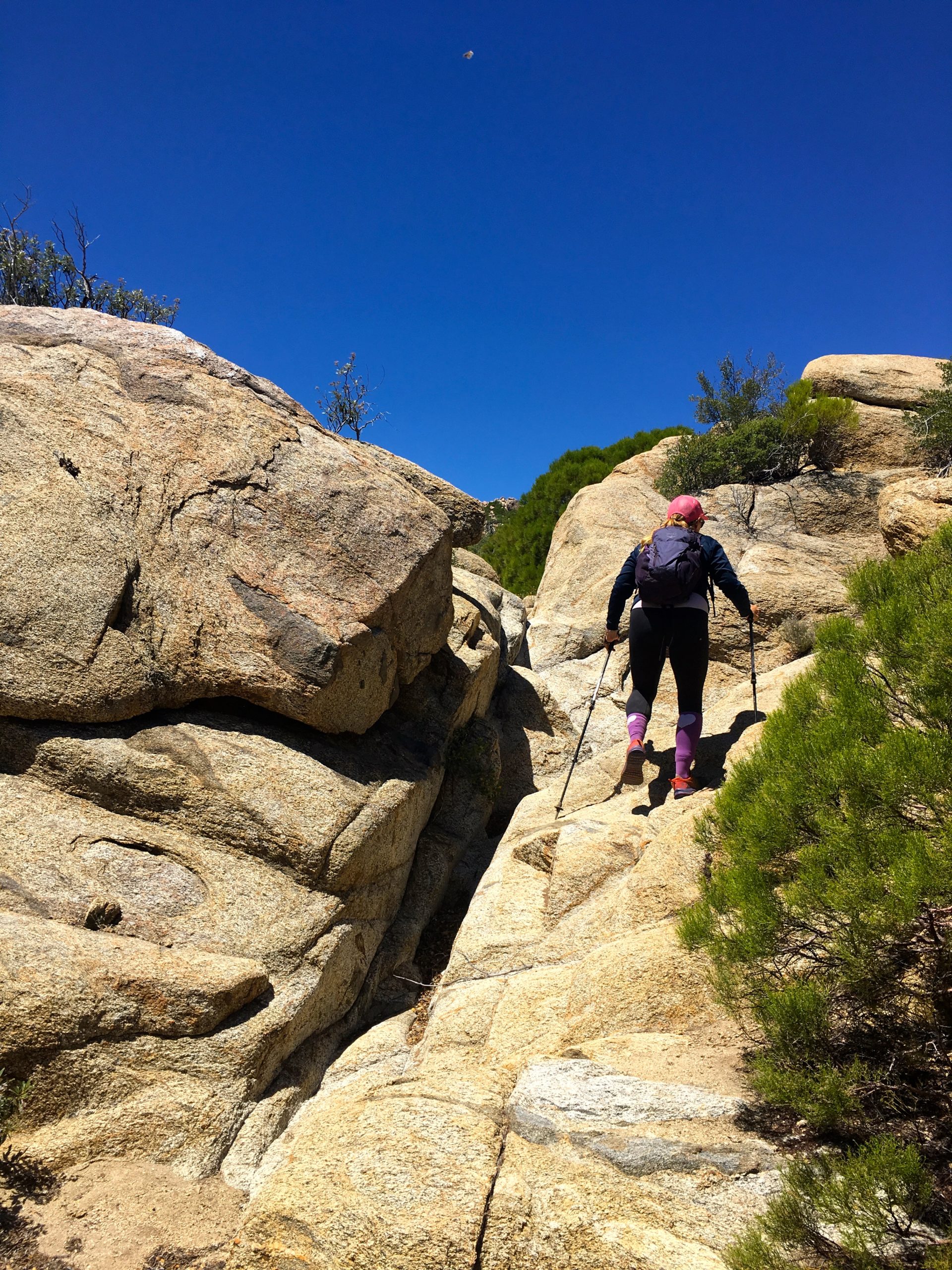
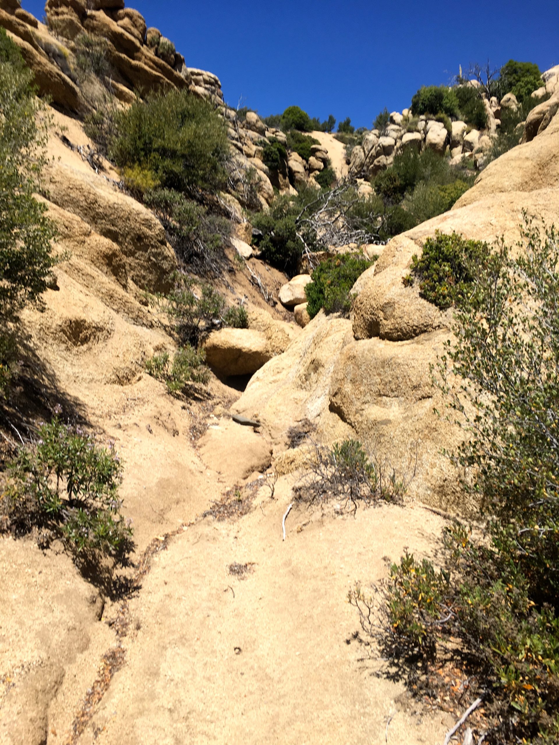
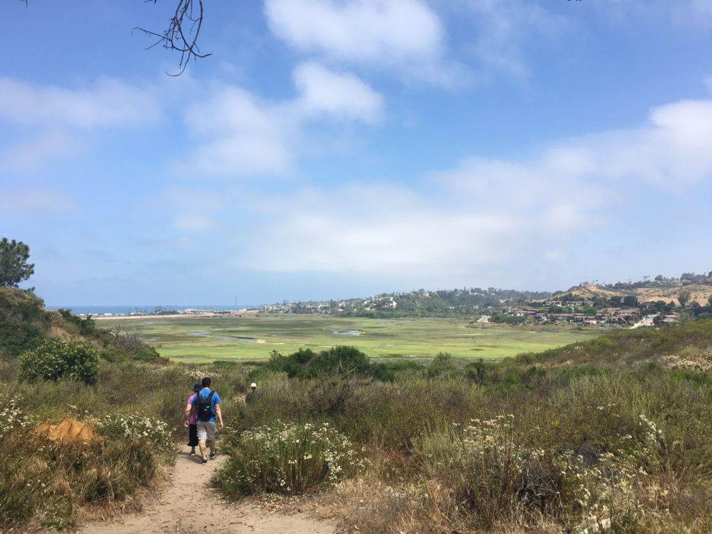
We now set off on the Vincent Tunamait Trail, named in honor of a Chumash elder statesman, and on to Sawmill Mountain. The single track descends following a series of switchbacks, entering into the Chumash Wilderness. While initially mild, the later portion did become a bit steep. We were not looking forward to the return and the ascending of this section.

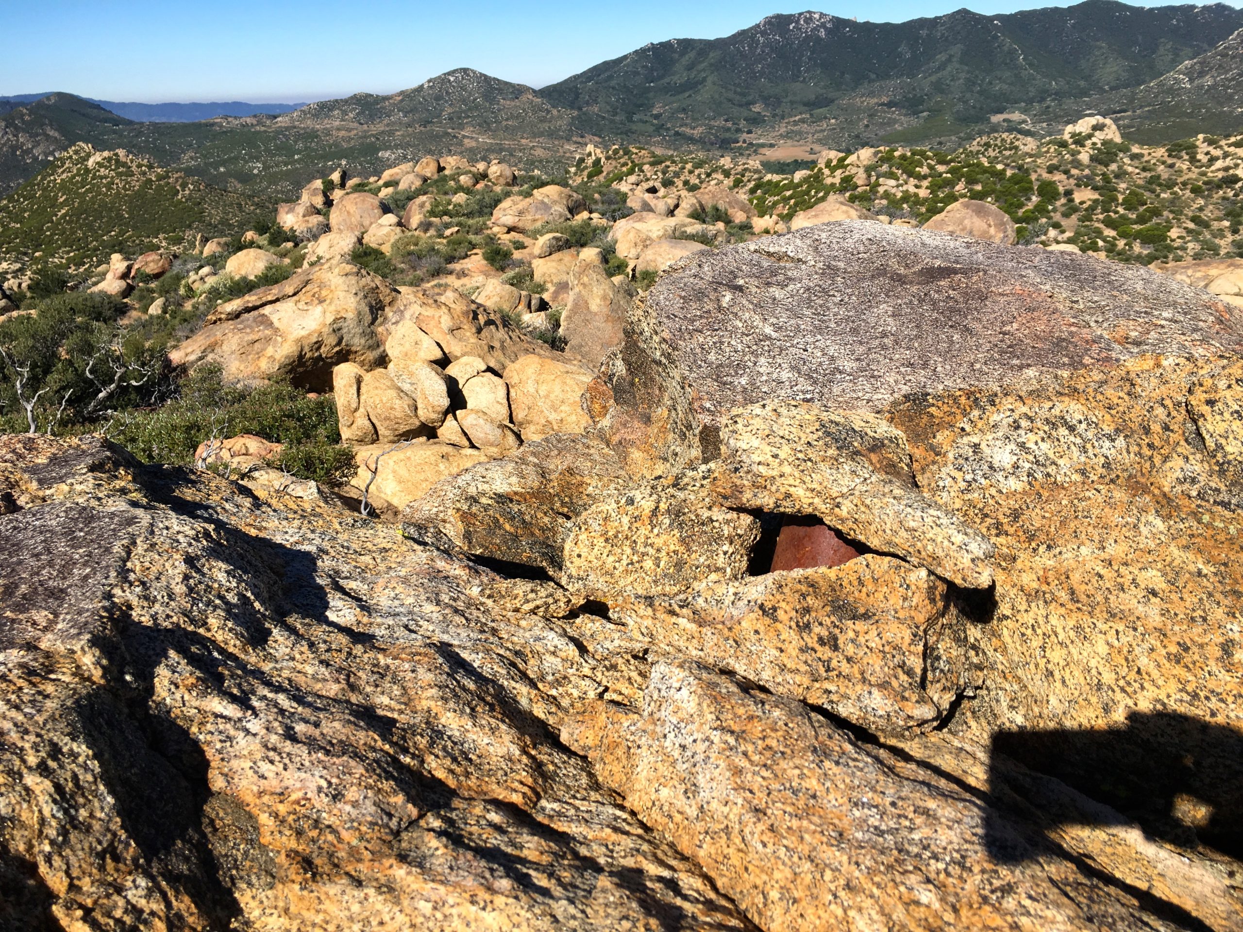
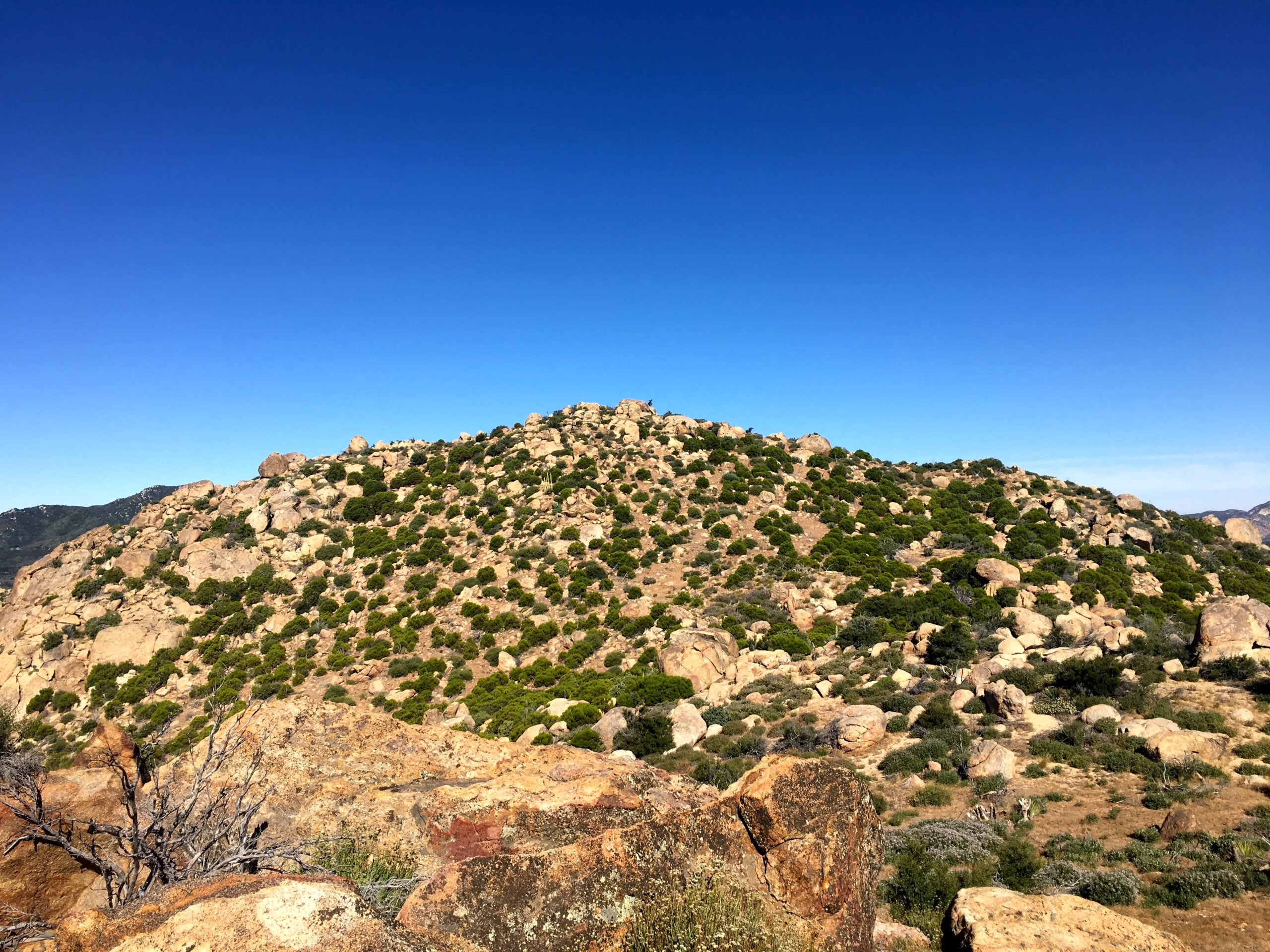
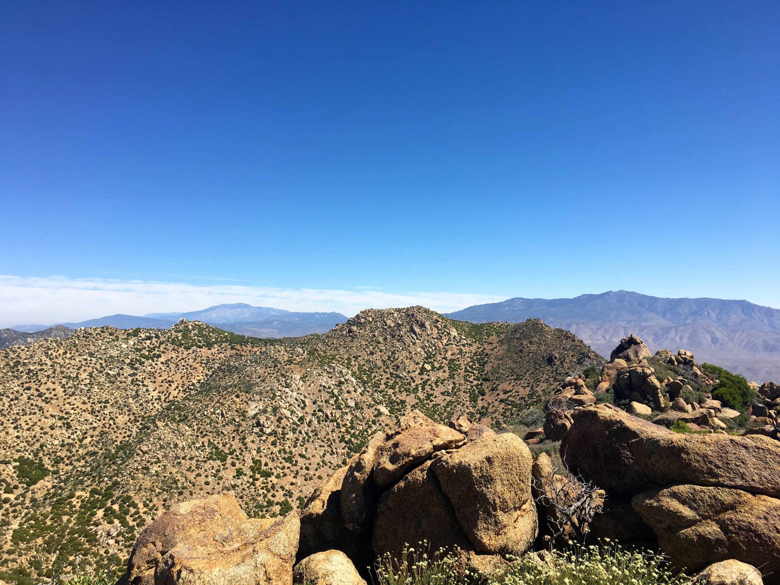
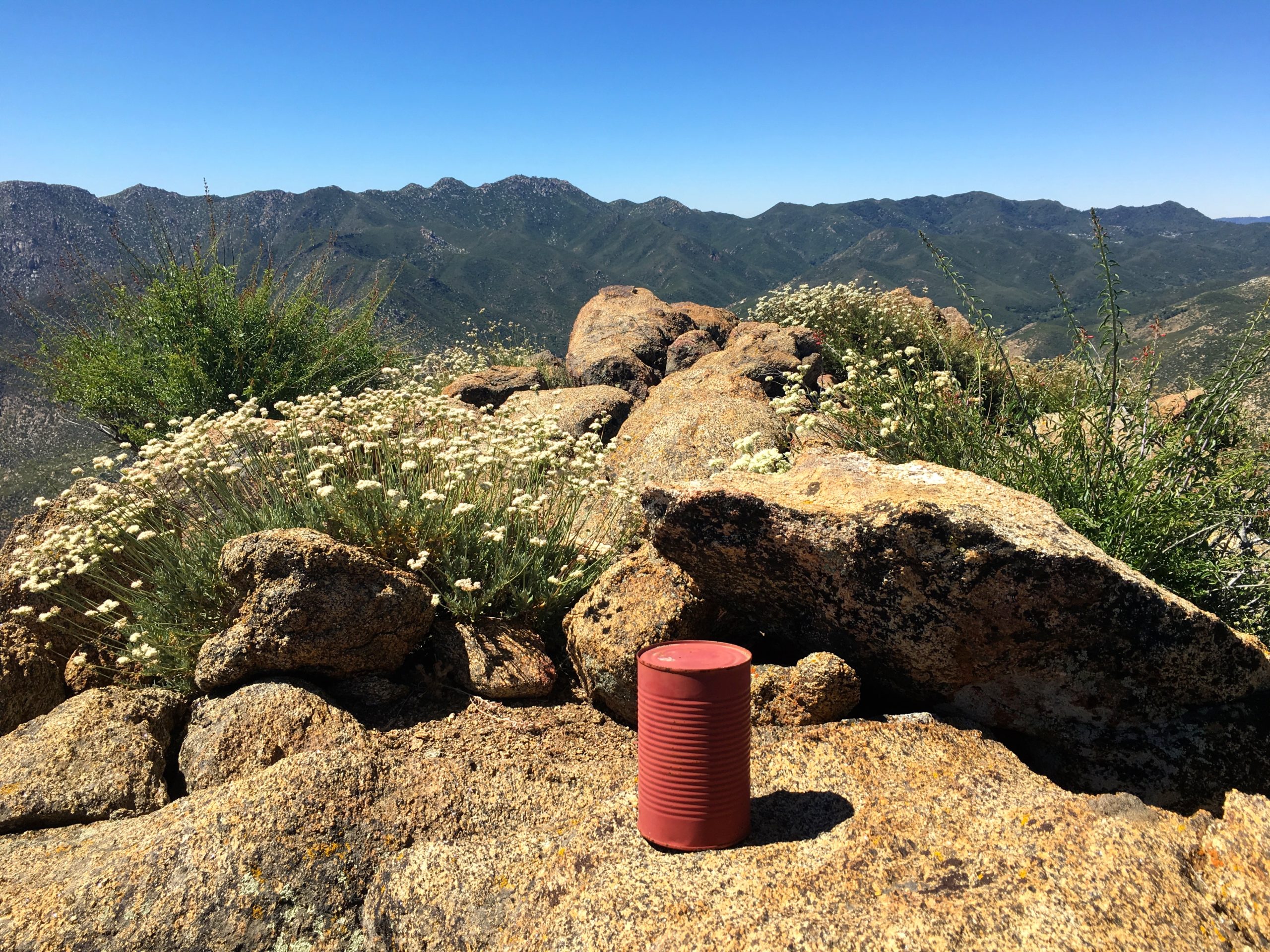
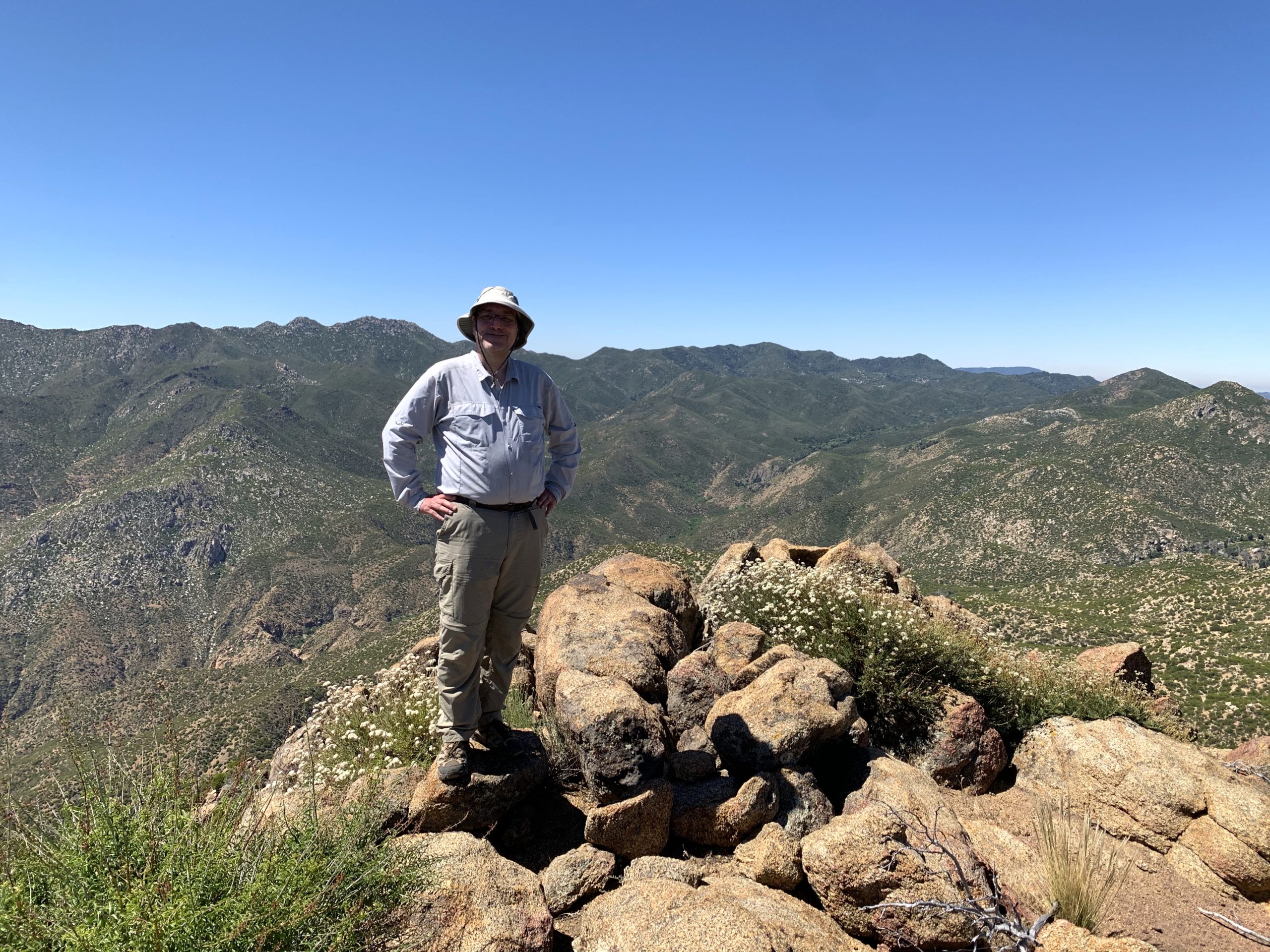
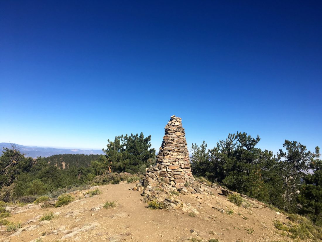
After crossing a small saddle, the hike began to climb once again toward the summit of Sawmill Mountain. At about 3.5 miles in, a spur trail headed to the north to the actual summit. About .2 miles later, a massive cairn stood before us.

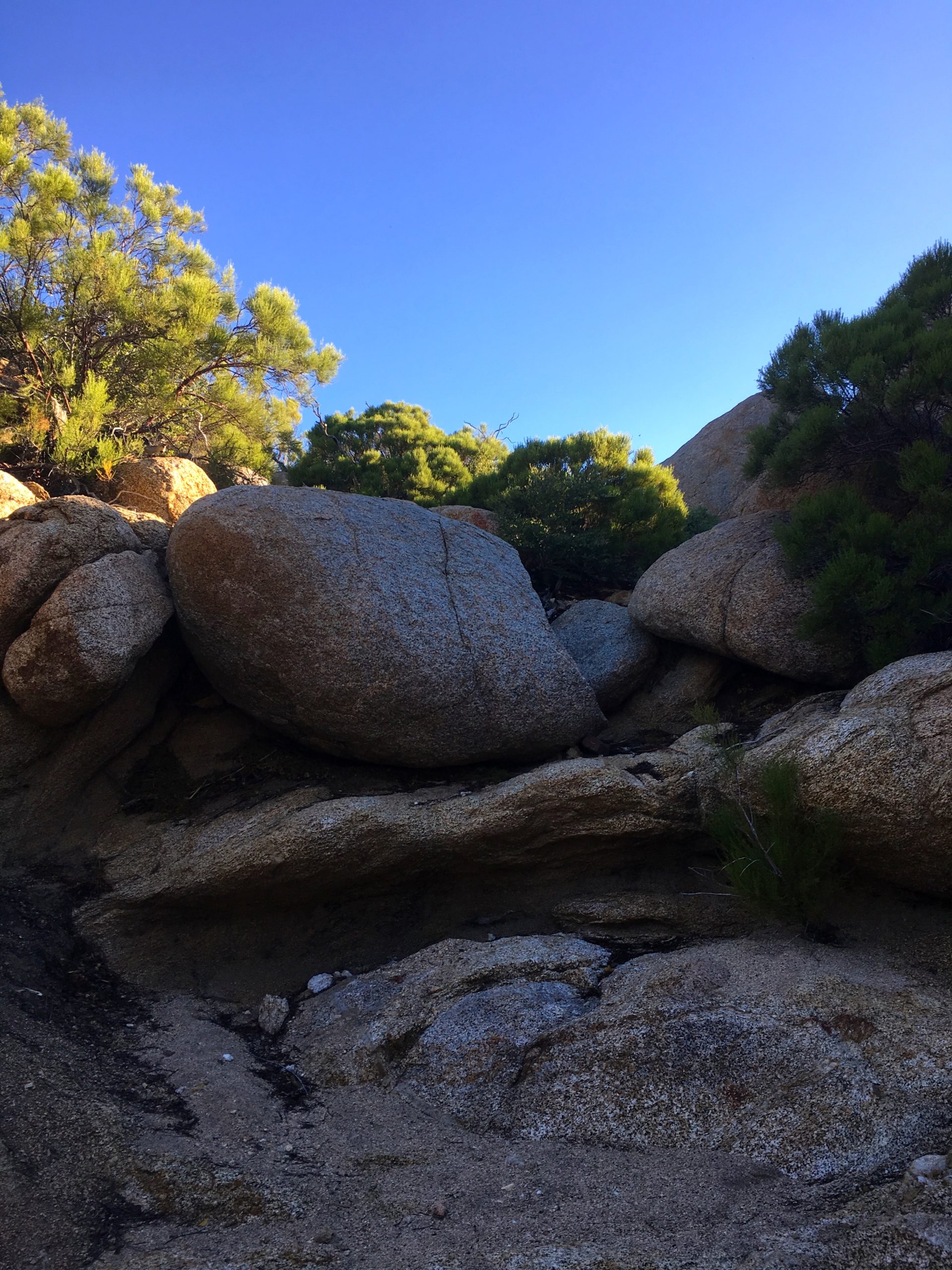
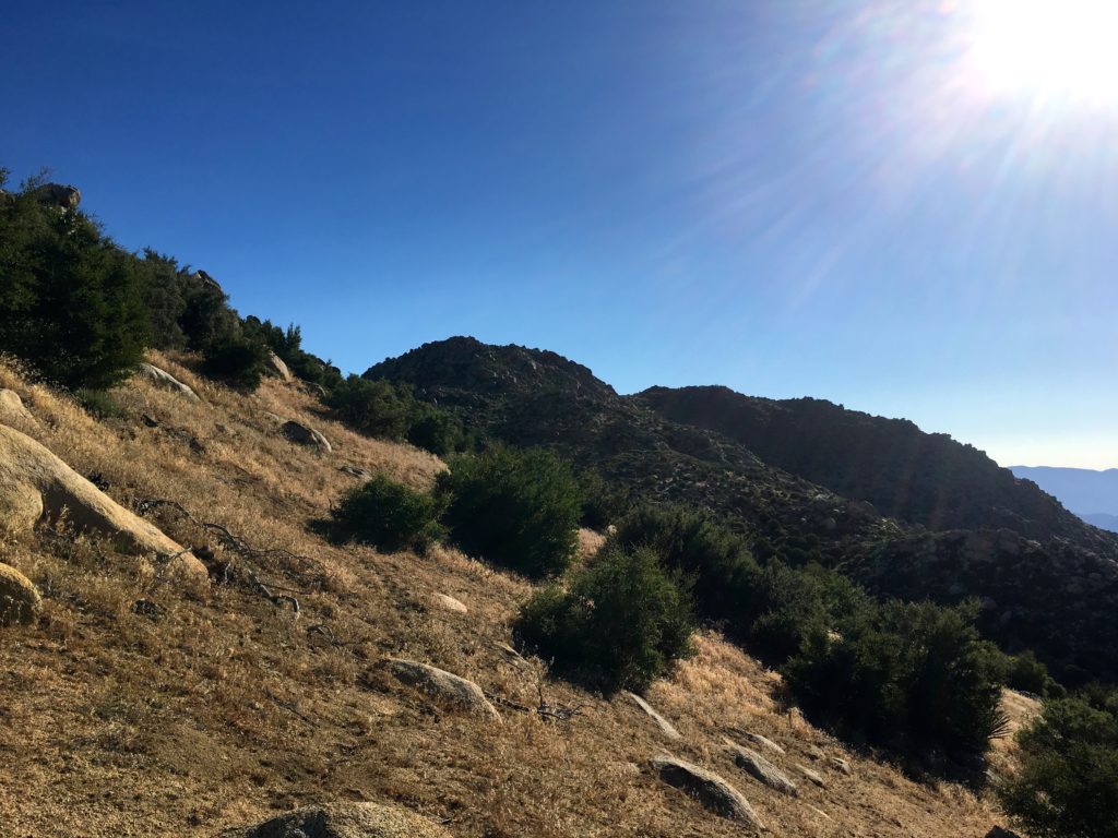
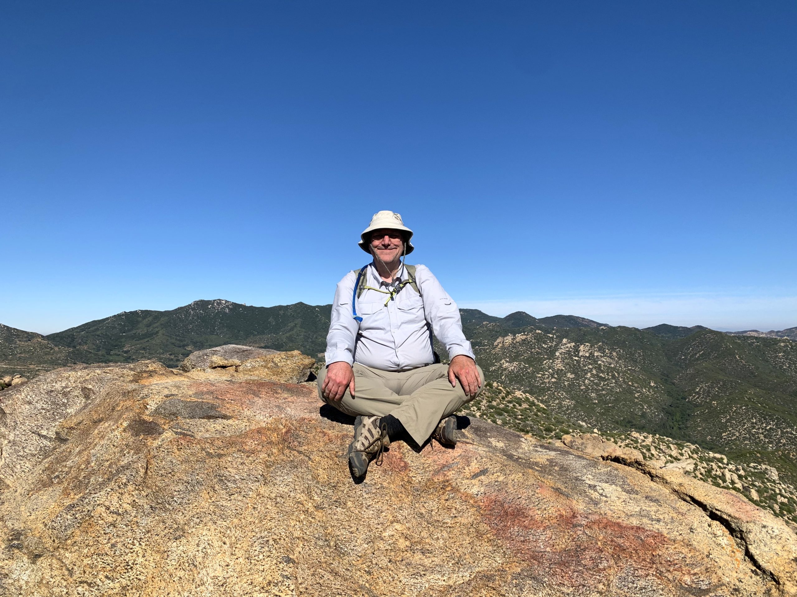
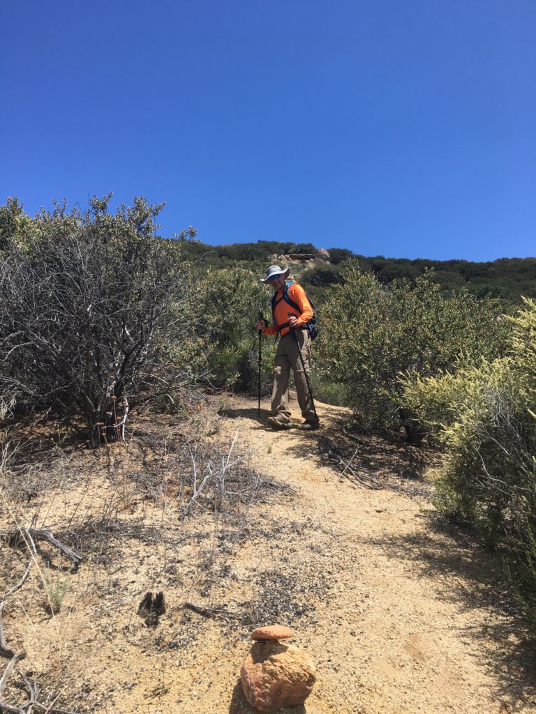
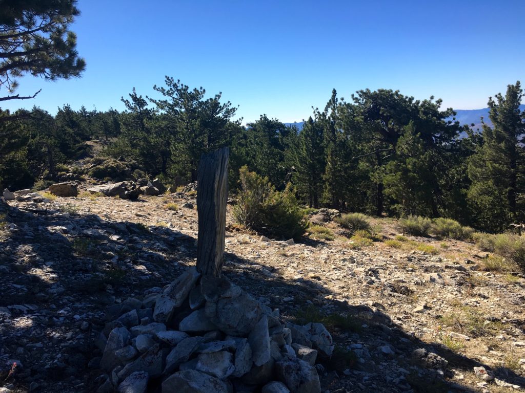
We paused for a bit under some nearby shade for a bit of food and some electrolytes. My knee was still feeling good, so we continued on toward Grouse Mountain. As we made our way east, we hopped off-trail to summit Sawmill Mountain-West. A much smaller rock cairn marked the peak.

Sawmill Mountain-West.

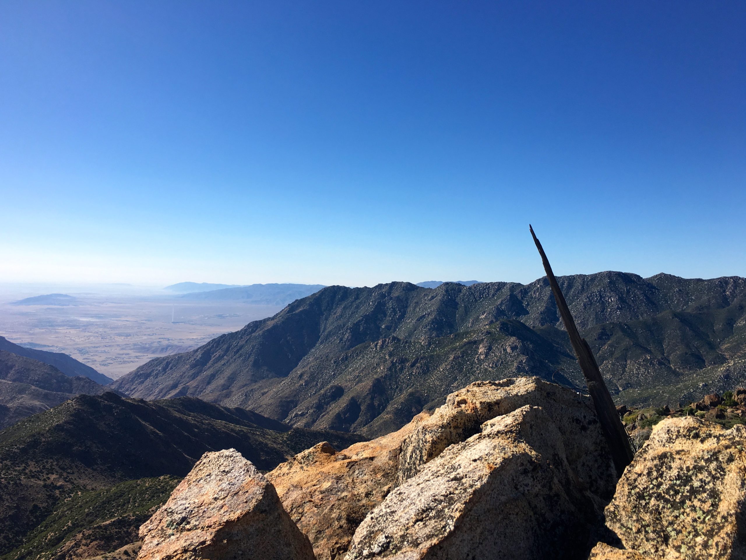
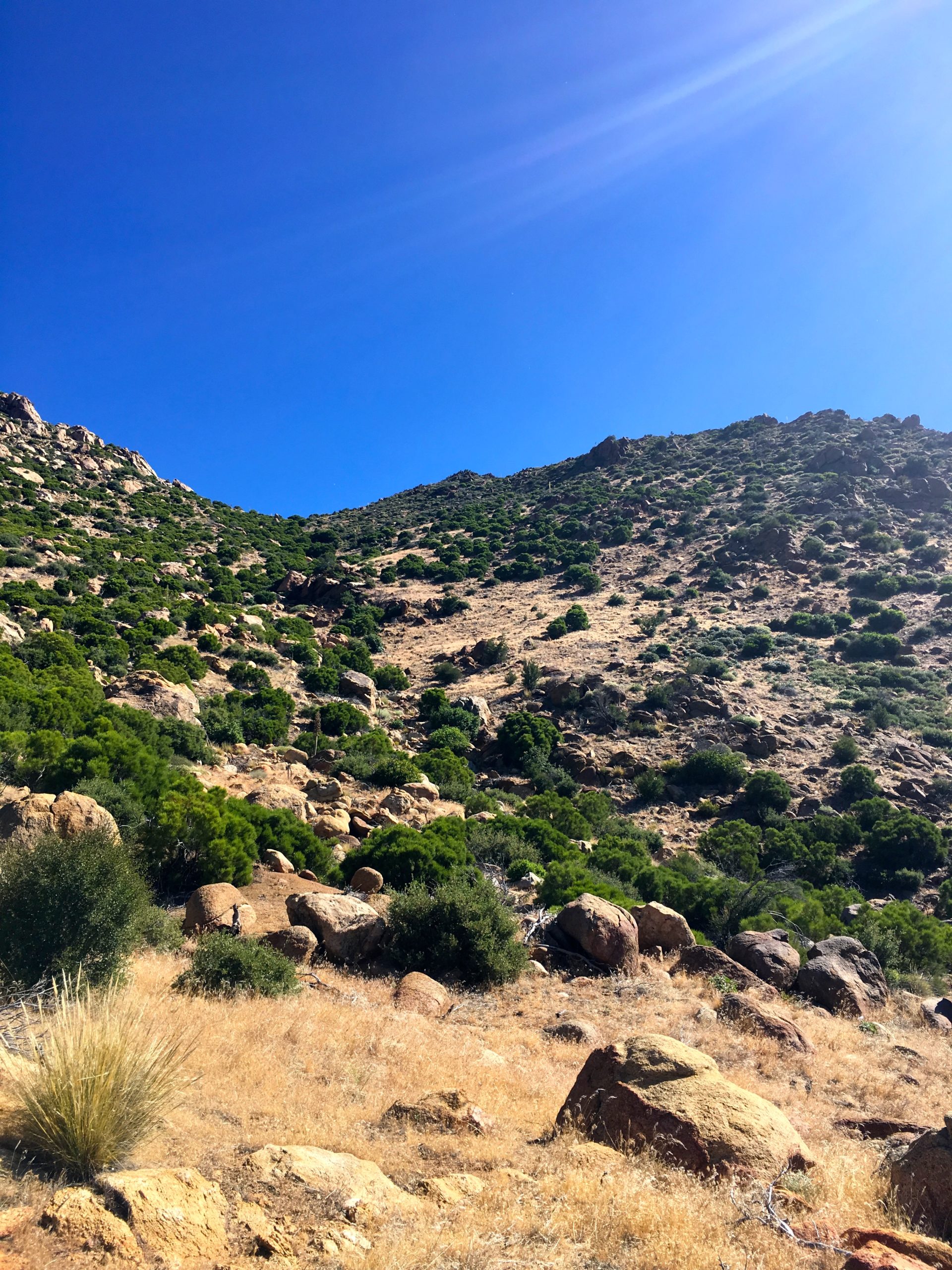
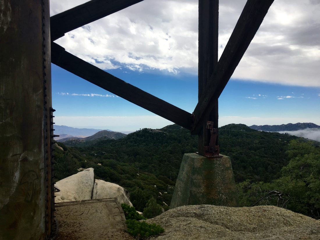
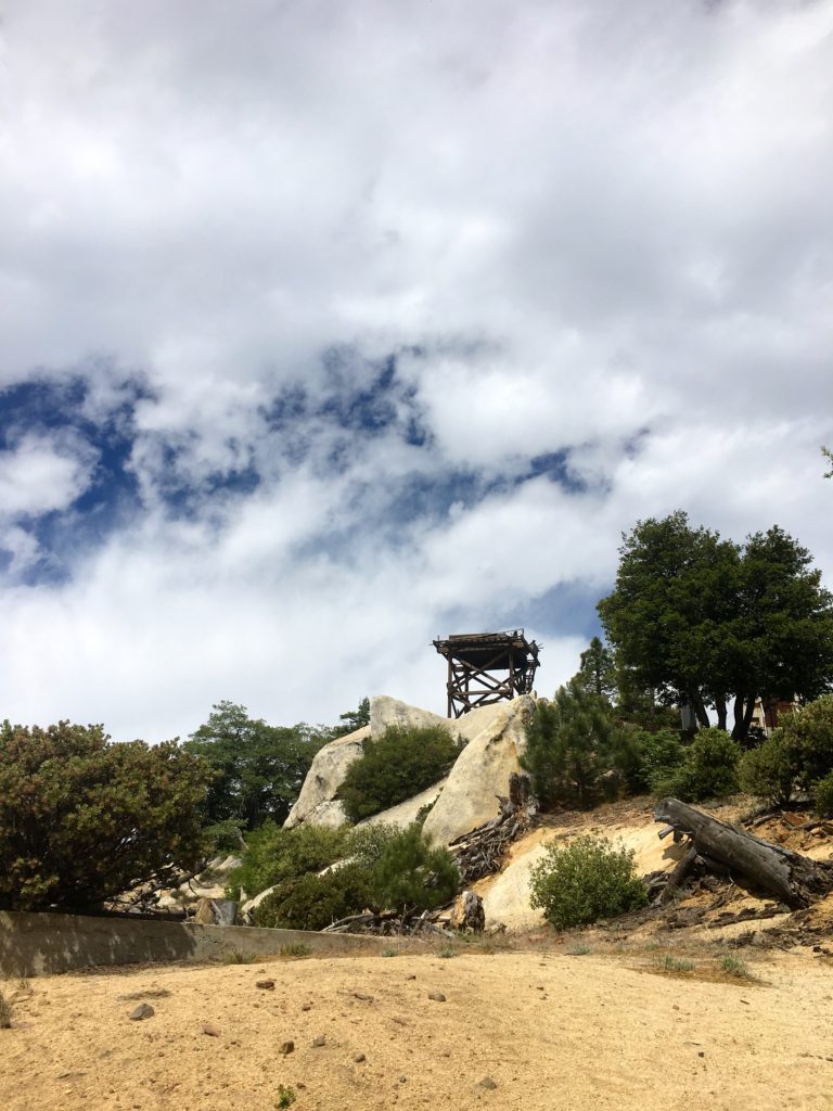
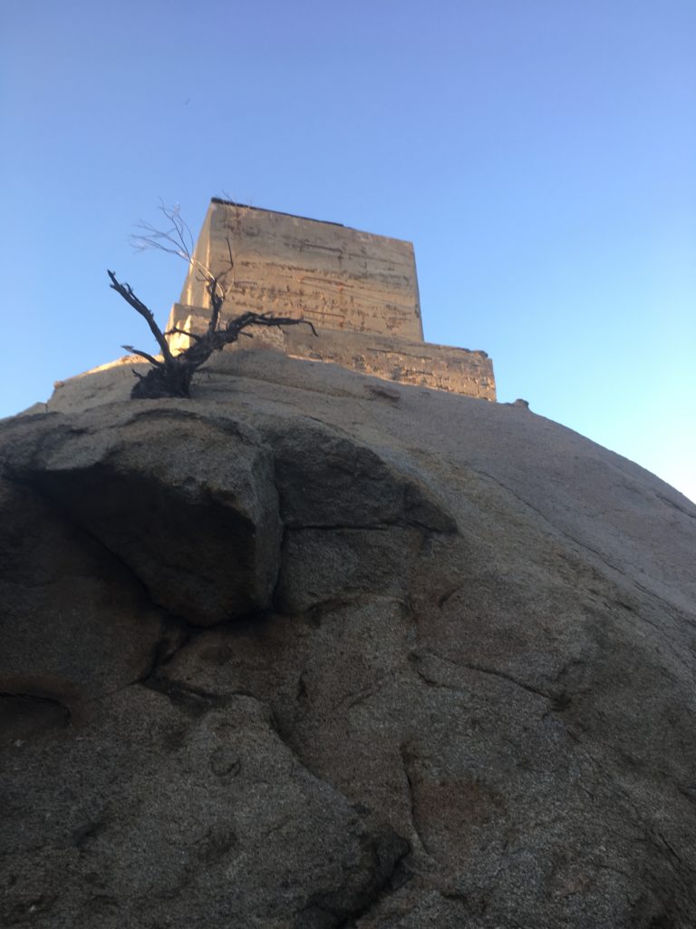
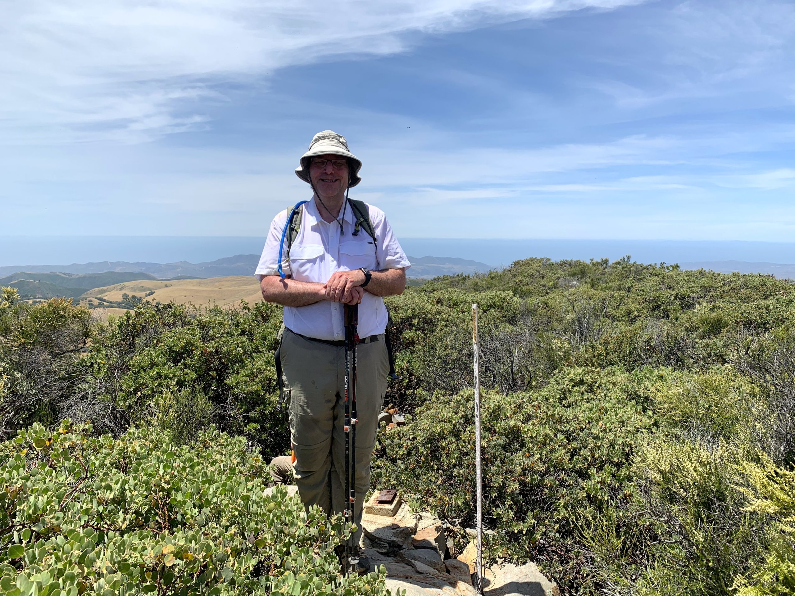
Once back on the trail, we descended down until we intersected with the trail for Sheep Camp. Keeping to the right, we began our third climb of the day. Nothing too hard, just at 8,000+ feet, we can feel it. The trail took us to the false summit of Grouse. In referencing the loaded track and my paper map, we knew the true summit was a couple of hundred yards to the north of us. Our boots crunched under the pine needles. The summit of Grouse is denoted by a large wooden teepee, as well as a nice sign. Unfortunately, the sign maker placed the wrong elevation on it.

Under the shade of the pines, I enjoyed a nice PB&J, some orange slices, and a bit of Gatorade. Now for the return…

As we started back onto the trail, a young couple was just reaching the area. We chatted for a bit, with proper distancing, and pointed them toward the true summit.

As we retraced our steps, we would encounter more hikers. Either they or us would step off-trail, and masks were in use as we approached. Some backpackers were head down to Sheep Camp, others just out enjoying the area.

Looking at the final ascent up the switchbacks…

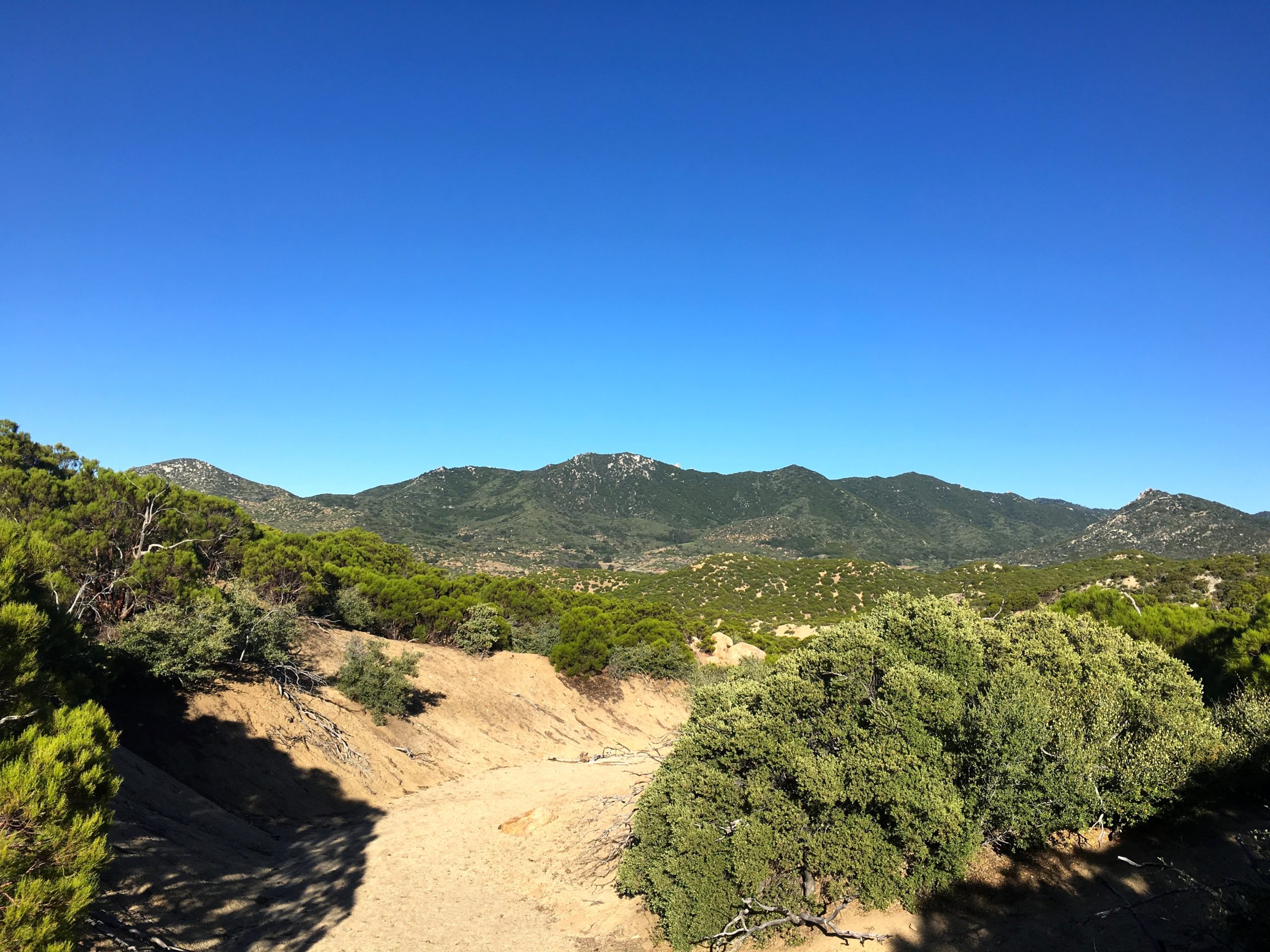
At the base of the switchbacks, I could feel the effects of being off trail for about a month as I made my way up. I stopped a few times for some short breathers, then pushed on. Soon, the Condor Observation Site came into view. I had hoped to sit on those benches for a bit, but some amateur radio enthusiasts were using it for their equipment. Oh well, it was warming up some, and we had a long drive home.

From near the Condor Observation Site

Nearing Mt. Pinos, we started to encounter more and more folks on the trail, so the occasional need for a mask soon became almost permanent. We also started to notice a drop in the usage of masks by other hikers. Thankfully, the trail was wide and we were able to move past them quickly. The day was also warming up, while still nice in the shade, we could feel the heat building whenever we crossed a meadow.

Before we knew it, the parking lot came back into view and our adventure was over. We had completed the 3-2-1 Challenge, and I had completed my 8th peak on the 6 Pack of Peaks Challenge. But, more importantly, the knee felt mostly ok! The hike was 10.4 miles, with 2,037 feet of elevation gain in 4:59 of active hiking time.


Buy Me a Coffee at ko-fi.com

I am an avid peak bagger, sometimes backpacker, and former sea kayaker living in San Diego. I am the co-author of Urban Trails:San Diego, coming in Spring 2026!

In 2019, I became the third person to complete the San Diego 100 Peak Challenge. Not stopping with that accomplishment, I set my sights on the harder San Diego Sierra Club 100 Peak list, which I completed in 2021. In addition, I have conquered several Six-Pack of Peaks challenges (SoCal, San Diego, Central Coast, and both the Arizona-Winter and Arizona-Summer). I am looking forward to exploring new summits and new adventures across the southwest. 

Santiago Peak

There is one kind of hiking that I am not fond of, hiking on active roads. Unfortunately, Santiago Peak is one of these. To offset this, I decided to hit the peak early and drive partway up, The Subaru Outback had no trouble making it to a nice wide flat area just before the trail to Modjeska Peak. I will say there is a section of road after Maple Springs Trail Road meets the Main Divide Road that is a bit rocky. If you are unsure about your car’s tires, then I would recommend parking at that junction.

Once there, I set off down the road, the summit and it’s myriad of towers off to the south-east. Unfortunately, my knee was really out of whack. After about a quarter-mile, I decided that I was not going to attempt it on foot. I hopped back in the car and continued driving up. The road was not an issue again until the final summit. There, another rocky section had to be navigated, but you could find a parking spot and walk the last bit.

Once on the summit, I parked and walked to the southern end of the peak, and took in the views. The June Gloom spread out before me. I walked back up to the summit to snap a photo of the summit sign and one reference mark. As was getting ready to leave, two more cars made their way to the summit. While driving back down, I encountered five more cars working their up. While, my hike was not as planned, the summit was obtained. Now to see what is up with this knee, got more peaks to climb! 


Buy Me a Coffee at ko-fi.com

I am an avid peak bagger, sometimes backpacker, and former sea kayaker living in San Diego. I am the co-author of Urban Trails:San Diego, coming in Spring 2026!

In 2019, I became the third person to complete the San Diego 100 Peak Challenge. Not stopping with that accomplishment, I set my sights on the harder San Diego Sierra Club 100 Peak list, which I completed in 2021. In addition, I have conquered several Six-Pack of Peaks challenges (SoCal, San Diego, Central Coast, and both the Arizona-Winter and Arizona-Summer). I am looking forward to exploring new summits and new adventures across the southwest. 

Sitton Peak

I started just after 7:30 under the typical “June Gloom”, with my good friends Susie Kara and Gail Welch joined me on what was to be my 6th summit toward the Six-Pack of Peaks Challenge (however, I am continuing on toward summiting the rest of them). The trail gently worked its way from the busy highway into the San Mateo Canyon Wilderness. Wildflowers still dotted the sides of the trail. The grey skies provided some nice relief, as there was not a lot of shade to be found while we worked our way to the peak. The entire route is now nicely marked with white signs at each of the junctions. 

We came to the turn-off for the final push to the summit. This last portion is where you earn your peak-bagging merit badge, as the trail now becomes very steep and slippery. In fact, I actually fell while ascending one particularly tough section. Brushing myself off, I continued making my way up to the summit.

Once there, we had a well-earned break.  Although the clouds had burned off near us, and the marine layer still socked in the coast, Santiago Peak stood out clearly to the north of us. After snapping a few photos with the summit sign, we started to gather our gear and prepared to tackle the tricky descent that awaited us. Just then a group of four ladies arrived at the summit, making it the perfect time for us to depart.

We made it down the steep section with no issues and then began cruising back to the trailhead. While we had only passed about 5 hikers on our way up, during our descent we passed about double that. Before we knew it we were back at the cars. 


Buy Me a Coffee at ko-fi.com

I am an avid peak bagger, sometimes backpacker, and former sea kayaker living in San Diego. I am the co-author of Urban Trails:San Diego, coming in Spring 2026!

In 2019, I became the third person to complete the San Diego 100 Peak Challenge. Not stopping with that accomplishment, I set my sights on the harder San Diego Sierra Club 100 Peak list, which I completed in 2021. In addition, I have conquered several Six-Pack of Peaks challenges (SoCal, San Diego, Central Coast, and both the Arizona-Winter and Arizona-Summer). I am looking forward to exploring new summits and new adventures across the southwest. 

Pike & Cody Benchmarks

The alarm for 4 AM went off way too early, but we needed to meet our escort to the start of our hike at 6 AM. As I drove past the Iron Mountain parking lot, I remembered a time when this was where I would meet Susie Kara and then carpool off to conquer another peak on our list. Instead, we will have to rendezvous at the escort point. Today’s adventure was a special gift. We were allowed to hike out to some peaks that are normally only accessible from Anza-Borrego. I parked under a large oak tree while I waited for our escort and Susie to arrive. Unfortunately, the person who had arranged this adventure tweaked their neck and was under orders not to hike, but they still allowed us the opportunity to venture into the wildness. 

Once Susie arrived, she tossed her gear into the Outback, and off we went, past the locked gate and down the dirt roads. Just past the old cemetery, we found a nice spot to pull off and begin our journey. We bid farewell to our escort, thanking them for probably the 100th time… 

Our journey first took us down an old road until it reached a broad collection of oak trees. From here, we would enter a nice sandy wash and begin the climb up to the saddle near the peaks we were aiming for. The air was still a bit cool and we had some shade for a while. The temperatures were predicted in the high 70s to low 80s, hence the early start for this hike. A few small dry falls were quickly climbed as we kept heading east. Susie had summited these peaks back in March but from the much harder route from the west.  As we neared the saddle, the brush did become thicker, and took some effort to pick our way through it. If the satellite imagery was to be trusted, we should only have to deal with it for a short time.

Thankfully, the imagery was correct and the brush did become less dense. Once we reached the saddle, our route would now form the head of a lollipop. The first of the listed peaks we were aiming for was off toward the northeast. I took the lead in the route finding. Very quickly, I spotted a faint animal trail through the grass. Unfortunately, neither one of us thought to bring our gaiters, and we would be plucking thistle out of shoes and socks several times during this hike.

Looking north

Our route took us to a nice ridge before turning east and over the first of three peaks for the day. But on this ridge, we had some sweeping views of the mountains to the north of us. Squaretop stood very clearly amongst its neighbors. San Jacinto was far off in the distance. Now, back to why we were out here, we climbed the slopes of the peak. While this peak is higher than its named cousin to the east, it is NOT on the Sierra Club 100 list. We took a small break here, signed the register, and took our photos before heading on to the next peak.

Now from here, the views of Anza-Borrego became even more impressive: Palm Mesa and Indianhead were clearly visible to the east. That was my 89th peak on the Sierra Club 100. After signing the register, letting Susie go first as she was also the most recent one to have signed it, we took our photos and surveyed our descent and ascent route for the third peak we were hoping to climb.

We carefully worked our way down the steep and sandy slope. Susie noted that they had descended from the other peak, and this was an easier route. As we neared the end of the descent, we discussed possible paths we could take up the steep slope that stood before us. We had a couple of tracks loaded, and we compared our options. One thing about open country peak bagging is you have to synthesize all your data: the paper topo map, routes from previous hikers, and what your eyes and gut tell you. Settling on a general path, we began climbing. 

It was steep and at times the footing a bit troublesome. We would stop for a moment, scan ahead, and continue on. In about .4 miles we would be gaining almost 700 feet of elevation. With one last push, we reached the summit! Again, the views were incredible, with the San Ysidros rising to the south. I found a nice spot to sit and enjoy my orange and some Gatorade. Susie stretched out and had a nice nap in the sun. About .5 miles to the west stood two more benchmarks. I had considered adding them on to the day’s attempt, but since our escort could not join us, I wanted to save them and summit them together. Plus,  Susie did have to be back in town for her niece’s 4th birthday party. We bid farewell to my 90th peak and headed down. 

We slowly and carefully made our way down the steep slope. This time following the gully to the west rather than the route we took on the way up. Unfortunately, I slipped at least twice, and the bruise on my hand is evidence of my grace. Back in the wash, we began following it to the west. As we near the saddle, the wash narrowed, so we popped out of it and continued cross-country. Crossing the saddle and back toward the first wash, it was clear that if we ever get to explore, here again, stick to the south side as you approach the saddle, as the route is easier.

We made quick time back along the first wash, which was good as the day was heating up and the bugs were coming out. Soon, the Subaru came into view, and the hike was at an end. We drove back down the dirt road, taking care to properly close the gates. Once we had cell coverage, I let our escort know that we were back and it was a successful expedition. Susie said a quick goodbye and headed back into town. Yes, I have been vague on the peaks that we summited, at the request of our escort. But if you do some detective work, I am sure you can figure it out.


Buy Me a Coffee at ko-fi.com

I am an avid peak bagger, sometimes backpacker, and former sea kayaker living in San Diego. I am the co-author of Urban Trails:San Diego, coming in Spring 2026!

In 2019, I became the third person to complete the San Diego 100 Peak Challenge. Not stopping with that accomplishment, I set my sights on the harder San Diego Sierra Club 100 Peak list, which I completed in 2021. In addition, I have conquered several Six-Pack of Peaks challenges (SoCal, San Diego, Central Coast, and both the Arizona-Winter and Arizona-Summer). I am looking forward to exploring new summits and new adventures across the southwest. 

Wild Horse Peak

While I only have one more peak to summit to complete the Six-Pack of Peaks Challenge, fighting the crowds on the ones that are open was something I did not care to do. So, instead, I turned to summiting one of the mountains on the Sierra Club Lower Peaks Committee. This is a collection of peaks whose summit is below 5,000 feet. Some of these I have done while completing the 100 Peak Challenge. However, there was still one remaining to be climbed in San Diego, Wild Horse Peak in the Agua Tibia Wilderness.

I drove up to Dripping Springs Campground, with Ted following in his own car. The three free spots were already full at 7:30. I put up my Adventure Pass and Ted grabbed one of the Self Pay slips. The skies were still overcast, but we knew this should burn off as we rubbed on the sunscreen.

We passed through the campground, where breakfasts were being made over the campfires. The smell reminded me of so many mornings at my parents’ cabin. I signed the register and we set off. This is the same trailhead for Agua Tibia and for the very adventurous Eagle Crag. After crossing the dry creek bed, we turned onto the Wild Horse trail and began our climb.

The trail was a nice shape. Wildflowers still dotted the side of the trail. At times, some growth did extend onto the trail, but nothing bothersome. We did spy some poison oak at times, so know your plants! We kept on cruising up the trail, enjoying the views spread out before us. Off to the east, was one impressive orchard. 

After a while, we spotted the cairn that denoted the use trail to the summit. The pleasant grade we had for the last 4.5 miles was to be replaced with a steep climb on loose decomposed granite. Descending this was not going to be fun. We made our way slowly up to the Ridgeline. The trail was fairly easy to follow, thanks in part to Kelly Laxamana who routinely hikes these trails and maintains them.

Now on the ridgeline, the grade eased and the summit was clearly in view. Before long, the familiar red register can stood nestled amongst a pile of rocks. We shed our packs and took in the sweeping views; Vail Lake to the north, with San Gorgonio far beyond that, to the northeast San Jacinto stood, calling for our return. Off to the south was Palomar High Point. To the Southwest, Agua Tibia.

I signed the register and saw that the last person to add their name was our good friend Susie Kara. There really isn’t a good place to sit down on this summit, so after a snack and some fluids, we headed back down the mountain.

Thankfully, the descent we worried about was not too bad. Slow and careful, as this was not a race. Once back on the main trail, we could return to a nice steady pace. The sun had broken through earlier, but we still had sections of shade and a light breeze to keep us comfortable.

Finally, with about two miles to go, we encountered our first set of hikers. I SO wanted to check the “Only Party On The Mountain” checkbox on peakbagger.com, but it was not to be. It was a large group, but they quickly passed as we turned our faces away. By the time we reached the end of the trail, we met four other groups working their way up the trail.

As we passed back through the campground, it had become mostly empty, although the day-use lot was completely full. With that, I completed my 8th Lower Peaks Committee mountain! I logged the hike at 10.1 miles in 5 hours with an elevation gain of 2,049 feet. 


Buy Me a Coffee at ko-fi.com

I am an avid peak bagger, sometimes backpacker, and former sea kayaker living in San Diego. I am the co-author of Urban Trails:San Diego, coming in Spring 2026!

In 2019, I became the third person to complete the San Diego 100 Peak Challenge. Not stopping with that accomplishment, I set my sights on the harder San Diego Sierra Club 100 Peak list, which I completed in 2021. In addition, I have conquered several Six-Pack of Peaks challenges (SoCal, San Diego, Central Coast, and both the Arizona-Winter and Arizona-Summer). I am looking forward to exploring new summits and new adventures across the southwest. 

Hot Springs Mountain

Today’s plan included finally having a chance to hike with Gina Norte and cross Hot Springs Mountain off my Six-Pack of Peaks list. For those who don’t know Gina, she might be the “queen” of Hot Springs Mountain. She was the driving force in allowing for Hot Springs Mountain to be included on the challenge. We have been Facebook friends for some time, but have never been able to have our schedules sync up.

When I woke up, a mist/light rain was falling, I figured it was nothing more than some coastal drizzle, & I did not give it much attention. As I kept driving out toward Warner Springs, I began to fear that the forecast I looked at the night before was off. I really hadn’t planned for a wet hike… Luckily, as I neared the guard shack at the reservation to drop off my $10 entry fee, the skies became clear.

I parked in my usual spot, and Gina soon pulled up and parked under the shade of a nice oak tree. After some introductions in real life, we set off. If you have never hiked Hot Springs Mountain, the first two miles will get your blood pumping!  We took a relaxed pace as we worked our way up the dirt road. 

The clouds rolled in the valley below us, making for some dramatic views. Soon, it was time to slip on the bug nets as the flies began to swarm. Once past the steeper section, the grade eased. Gina was in full tour guide mode, filling me in on so much about the mountain and the tribe that lives there the Los Coyotes Tribe. I never knew that they did not have electricity until 2000!

Before we knew it, the abandoned fire tower came into view. We decided to go climb the actual summit block first. Following the well-marked use trail, we reached the summit in short order. We scaled the summit following the same route as I took on my last visit.

As we sat there, the clouds still swirled below us to the west, while so many familiar peaks stood clearly to the east. After grabbing a snack and photos, we carefully made our way down. Just around the north side, a ladder has been set up for an alternate route. I scrambled up to photograph another reference mark.

We next wandered over to the old fire tower. This is the “Potato Chip” for this peak. Normally, Palomar would be visible to the west, but today the clouds hid it from us. Speaking of clouds, they started to move in, so we set off back down the mountain.

The breeze had picked up, so the bugs were being kept at bay as we made our way down. Gina told me about some possible new trails that might be opening on the mountain. This would be so exciting. For a long time all access to this peak was closed, so to have the possibility of seeing more of this beautiful reservation was wonderful news. We talked about how to inform hikers to be respectful of not only the trail but the rest of the land and its heritage. 

Before we knew it, we were back at the cars. We chatted some more, but real life beckoned. We made some plans for some future adventures and said our goodbyes. Somewhere near Ramona, I realized I left my poles on the top of the car! I guess I will use my backup pair until I can pick my replacements from REI.


Buy Me a Coffee at ko-fi.com

I am an avid peak bagger, sometimes backpacker, and former sea kayaker living in San Diego. I am the co-author of Urban Trails:San Diego, coming in Spring 2026!

In 2019, I became the third person to complete the San Diego 100 Peak Challenge. Not stopping with that accomplishment, I set my sights on the harder San Diego Sierra Club 100 Peak list, which I completed in 2021. In addition, I have conquered several Six-Pack of Peaks challenges (SoCal, San Diego, Central Coast, and both the Arizona-Winter and Arizona-Summer). I am looking forward to exploring new summits and new adventures across the southwest. 

Annie’s Canyon

Nestled along the south side of San Elijo Lagoon is a small sandstone slot canyon, known as Annie’s Canyon. This short hike out to explore is perfect for a quick family outing. There are several possible routes to it; we opted to start from the North Rios trailhead and hike along the south shore of the lagoon. Those looking for a longer hike could start at the San Elijo Lagoon Nature center on the north side of the lagoon and hike over from there. A new bridge under the I-5 will also soon allow access to this hike as well.

We walked along the trail, enjoying the lagoon and its wildlife. We passed the junction that leads up to Holmwood Lane. Following the trail eastward for about 1/4 of a mile until we came to Annie’s Canyon. The route is a one-way counter-clockwise adventure through the narrow sandstone slot and up the metal ladders to the overlook. If you choose not to venture into the canyon, continue eastward then take the trail up to the viewpoint.

Those who squeeze through the canyon, are rewarded with a unique experience. For quite some time this canyon was closed to the public due to the tremendous amount of vandalism that occurred here. But through a lot of hard work and dedication, volunteers cleaned it up and the canyon was reopened to the public. 

After climbing the ladders you will reach the viewpoint giving you a chance to look down into the canyon some. Once done taking in the views, head back down toward the lagoon and back to your trailhead.


Buy Me a Coffee at ko-fi.com

I am an avid peak bagger, sometimes backpacker, and former sea kayaker living in San Diego. I am the co-author of Urban Trails:San Diego, coming in Spring 2026!

In 2019, I became the third person to complete the San Diego 100 Peak Challenge. Not stopping with that accomplishment, I set my sights on the harder San Diego Sierra Club 100 Peak list, which I completed in 2021. In addition, I have conquered several Six-Pack of Peaks challenges (SoCal, San Diego, Central Coast, and both the Arizona-Winter and Arizona-Summer). I am looking forward to exploring new summits and new adventures across the southwest. 

Woodson Mountain (via Ramona)

Since I am again working on the Six-Pack of Peaks challenge, I figured I would summit Mt. Woodson in the early evening to avoid most of the crowds. There were some cars along the side of the 67, but nothing like I have seen on the weekends. I grabbed my gear and set off up the service road.

As I made my way to the summit, I passed a few hikers heading back down. Since the route uses the service road, there is plenty of room to safely pass. Nearing the summit, I watched two climbers tackle an impressive crack.

Cresting the summit, I headed the short distance to the famous Potato Chip. I had no interest in scrambling out on it again. What I wanted to try was ascending the real summit block.

Looking up at the summit block

Just to the east of the towers is the summit block. Old trip reports spoke of a ladder, but that aid is long gone. Instead, a small rock pile serves as the only help now. I tried several times, but could not quite get myself up. I looked to see if there might be other rocks I could add, but there were none to be found. Instead, I decided to rotate the main rock and it gave me just enough to hoist myself up. With that little extra help, I was scrambling up the summit block! There I snapped the three reference marks and the benchmark itself! I had truly summited Mt. Woodson.

I headed back down, watching the evening glow spread across Ramona and the hills beyond.

Hopefully, I will be climbing Hot Springs Mountain on Friday for #5!


Buy Me a Coffee at ko-fi.com

I am an avid peak bagger, sometimes backpacker, and former sea kayaker living in San Diego. I am the co-author of Urban Trails:San Diego, coming in Spring 2026!

In 2019, I became the third person to complete the San Diego 100 Peak Challenge. Not stopping with that accomplishment, I set my sights on the harder San Diego Sierra Club 100 Peak list, which I completed in 2021. In addition, I have conquered several Six-Pack of Peaks challenges (SoCal, San Diego, Central Coast, and both the Arizona-Winter and Arizona-Summer). I am looking forward to exploring new summits and new adventures across the southwest. 

Margarita Peak

Once back at the car, I headed off for the second summit, Margarita Peak. Just past the gate stood two crosses off to the side of the trail. Unlike the groomed road to the other peak, this hike was going to be more ‘natural’.

Initially, I trekked along an old firebreak until I came to a sign denoting the Margarita Peak Preserve. Now, the trail turned to a single track use trail and began its steep climb. The sun was warming up the day, and I was sweating as I pushed through the overgrowth.

Finally, the trail reached the ridgeline and the grade eased. A lone oak tree stood atop a false summit. I took a moment to catch my breath and cool off. Once I was ready, I set off for the final push. A cairn and ribbon helped guide me through the manzanita to the summit. 

The summit has an odd metal pole and two interesting metal squares. I didn’t find a register, even though it is listed on the lower peaks committee list. The views were even better of Pendleton than from Margarita Lookout.

As expected, the descent was tricky but I kept my footing. Once back at the car, I enjoyed some cool water and a dry shirt. Just then a quad-runner came screaming by. The passenger was helmetless. I could only shake my head and hope they didn’t crash. A couple more riders passed by, properly geared and riding at a reasonable speed. I knew I would need to keep my eyes open on the drive down in case I encountered any riders. These were two fun little adventures in a part of San Diego county I have never explored. Personally, I think one of these should have been the replacement for Rock Mountain instead on the 100 Peak Challenge list.


Buy Me a Coffee at ko-fi.com

I am an avid peak bagger, sometimes backpacker, and former sea kayaker living in San Diego. I am the co-author of Urban Trails:San Diego, coming in Spring 2026!

In 2019, I became the third person to complete the San Diego 100 Peak Challenge. Not stopping with that accomplishment, I set my sights on the harder San Diego Sierra Club 100 Peak list, which I completed in 2021. In addition, I have conquered several Six-Pack of Peaks challenges (SoCal, San Diego, Central Coast, and both the Arizona-Winter and Arizona-Summer). I am looking forward to exploring new summits and new adventures across the southwest. 

Margarita Lookout

With so many trails overrun with hikers, I have been combing various peak lists for off-the-beaten-track adventures. One of these lists is the San Diego Peak Club List. This list serves as the foundation for the San Diego Sierra Club. Thankfully, there were a couple of peaks that weren’t out in Anza-Borrego that looked interesting; Margarita Lookout and Margarita Peak. 

These two are located north of Fallbrook, right on the border with Camp Pendleton. I pulled into the trailhead for Sylvan Meadows to watch the actual docking of the Crew Dragon “Endeavour” with the ISS. Once they had successfully docked, I headed out to the trailhead. 

Crew Dragon awaiting lift-off

Now, I had already saved the location in Google Maps, as the route can get a bit confusing according to the trip reports on Peakbagger. But something went sideways.  As I drove down the roads, I soon found myself passing Rock Mountain and the Santa Margarita river! What??? For some reason, Google Maps wanted to take me to Fallbrook. I finally convinced it to take me to the proper location. Thankfully, I only lost an hour and the hikes weren’t going to be too long. Finally, the paved road ended and the dirt road began. For the most part, this road is fully drivable by a standard car, like a Mini Cooper. But you might need a car wash afterward. After about 30 minutes on the dirt, I reached the shared trailhead for Margarita Lookout and Margarita Peak. There is a nice wide turnout, so no worries about parking.

From the reports, Margarita Lookout was going to be just under 5 miles round trip, but the elevation profile was easier. The hike to the summit of Margarita Peak was only about 1.6 miles, but a steep climb. Since I had done El Cajon on Friday, I opted for the easier one first. For much of the hike, you continue to follow the same forest road. In fact, I could have kept driving on it almost to the summit, but where is the sport in that?

Some wildflowers dotted the sides of the road. The road eventually reached a turn out for the final push to the summit. Here the trail got a bit rocky. Soon the flag at the summit was fully in view.

There isn’t a real benchmark, but a block of concrete was stamped with “1964” on it. A few remnants of the tower remained. I could spy so many familiar peaks; San Gorgonio, San Jacinto, Palomar, and even Cuyamaca off in the distance. I signed the register and headed back down. 

I heard the din of a motorcycle, and when I reached the road again, two riders were just turning around from riding up. I let their dust settle before cruising back to the car.

From my good friend Gina Norte, got some information on the history of this place: The original Fire Lookout Tower was built in 1935 by the Civilian Conservation Corps and was replaced in 1965 and a cabin was added. In 1986 a wildfire burned both structures and in 1988 the tower remains were destroyed in a collision with a Marine Corps CH-46E helicopter. The site of the old tower lies one mile north of Margarita Peak and 100 yards from Camp Pendleton.


Buy Me a Coffee at ko-fi.com

I am an avid peak bagger, sometimes backpacker, and former sea kayaker living in San Diego. I am the co-author of Urban Trails:San Diego, coming in Spring 2026!

In 2019, I became the third person to complete the San Diego 100 Peak Challenge. Not stopping with that accomplishment, I set my sights on the harder San Diego Sierra Club 100 Peak list, which I completed in 2021. In addition, I have conquered several Six-Pack of Peaks challenges (SoCal, San Diego, Central Coast, and both the Arizona-Winter and Arizona-Summer). I am looking forward to exploring new summits and new adventures across the southwest.