Trip Reports

Lawson & Gaskill Peaks

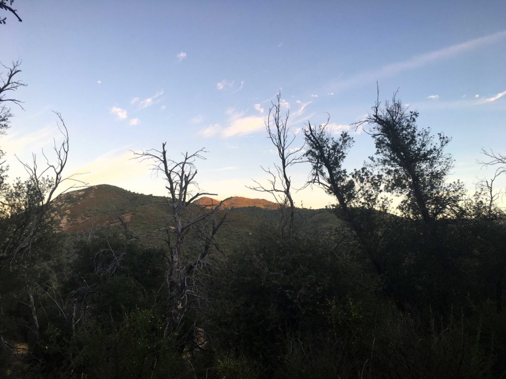
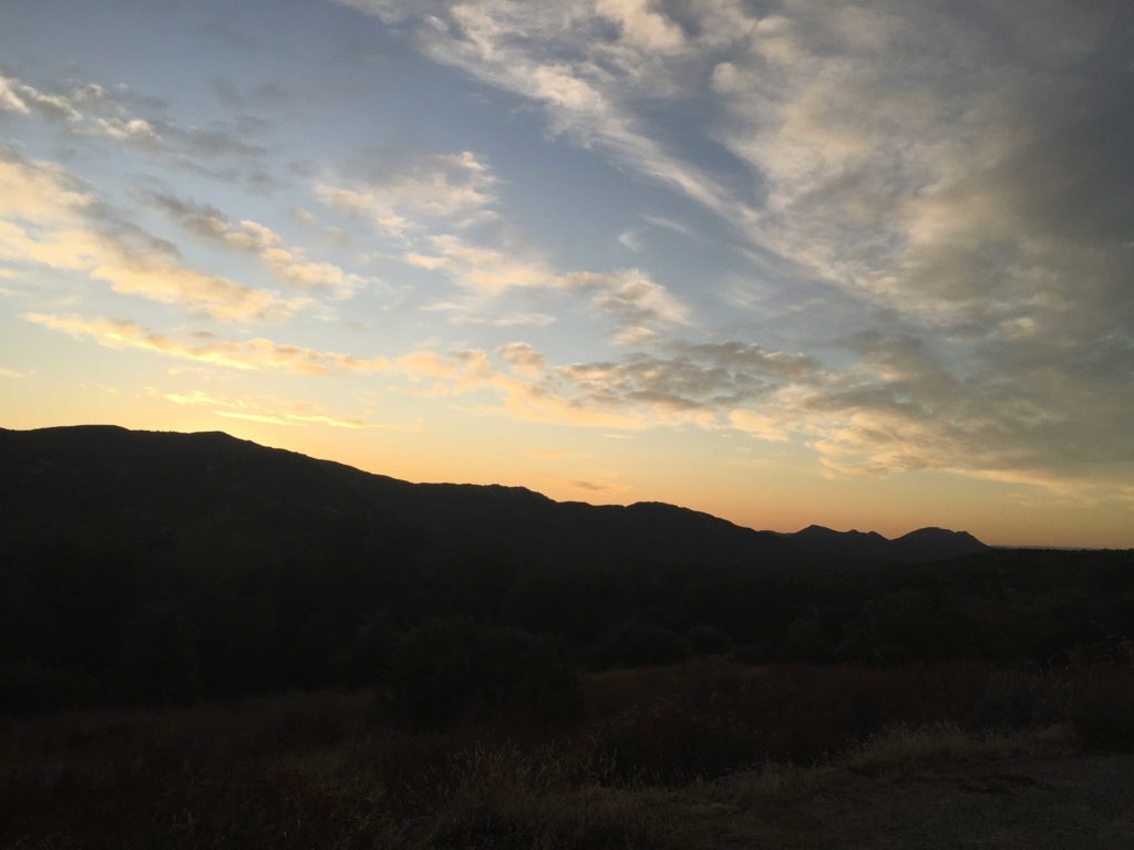
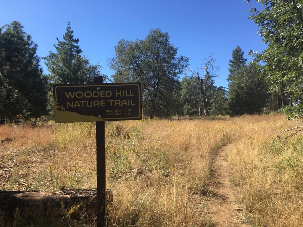
Driving out to the trailhead, Dave and I were questioning our decision as rain would periodically come down. Once we reached the turnout, that is when we would make our choice. I pulled up several radar maps on my phone and it looked like nothing was headed our way, so we geared up and set out past the gate. The skies were grey and the air moist as we followed the road up toward Lawson and Gaskill. The clouds hid the summits when they should have been within view. The upside of doing this hike twice before was I was familiar with it.

Lawson and Gaskill Peaks

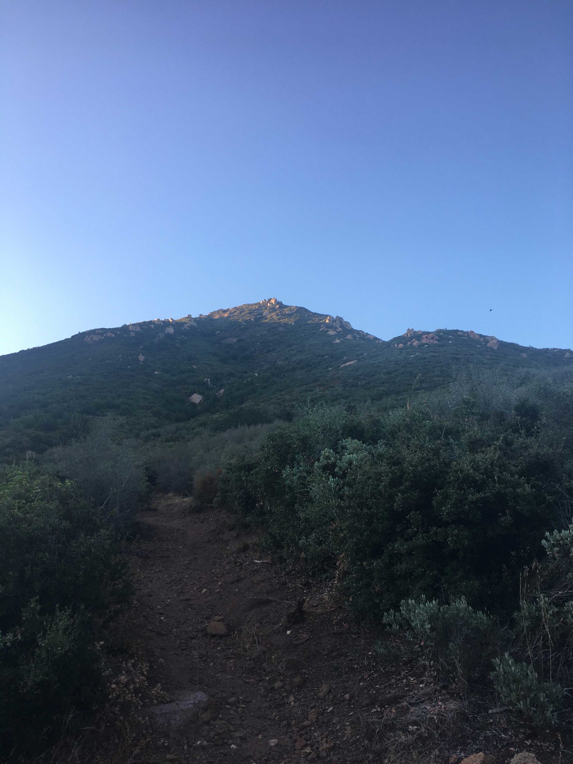
I had debated which peak to do first–Lawson, which was the first but also harder, or Gaskill. In the end, we opted to summit Lawson first. Following the trail upward, the damp brush slowly made our pants and shirts wet. We navigated up the steep slope with no real issues, except for me banging my finger on a rock and needing some band-aids. I slipped on my gloves for some extra protection for the rest of the ascent.

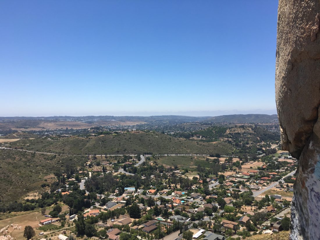
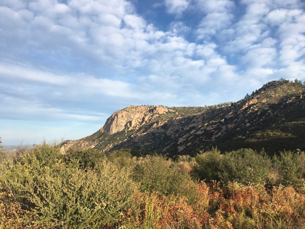
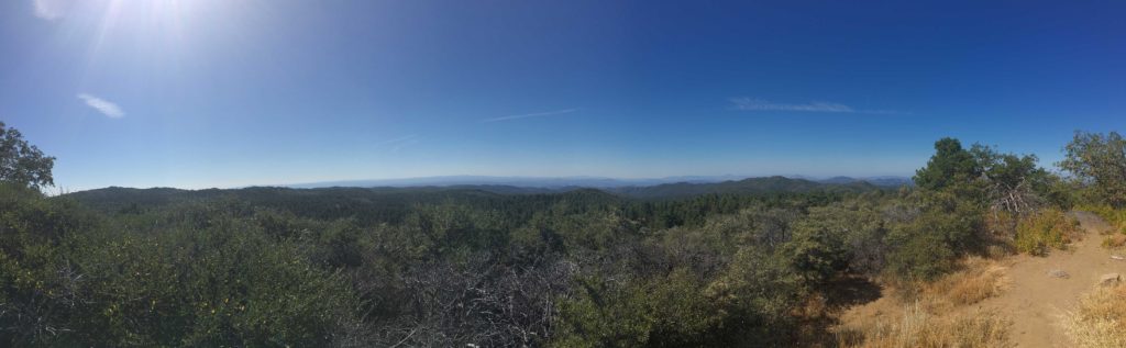
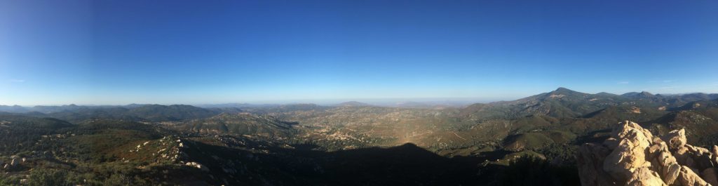
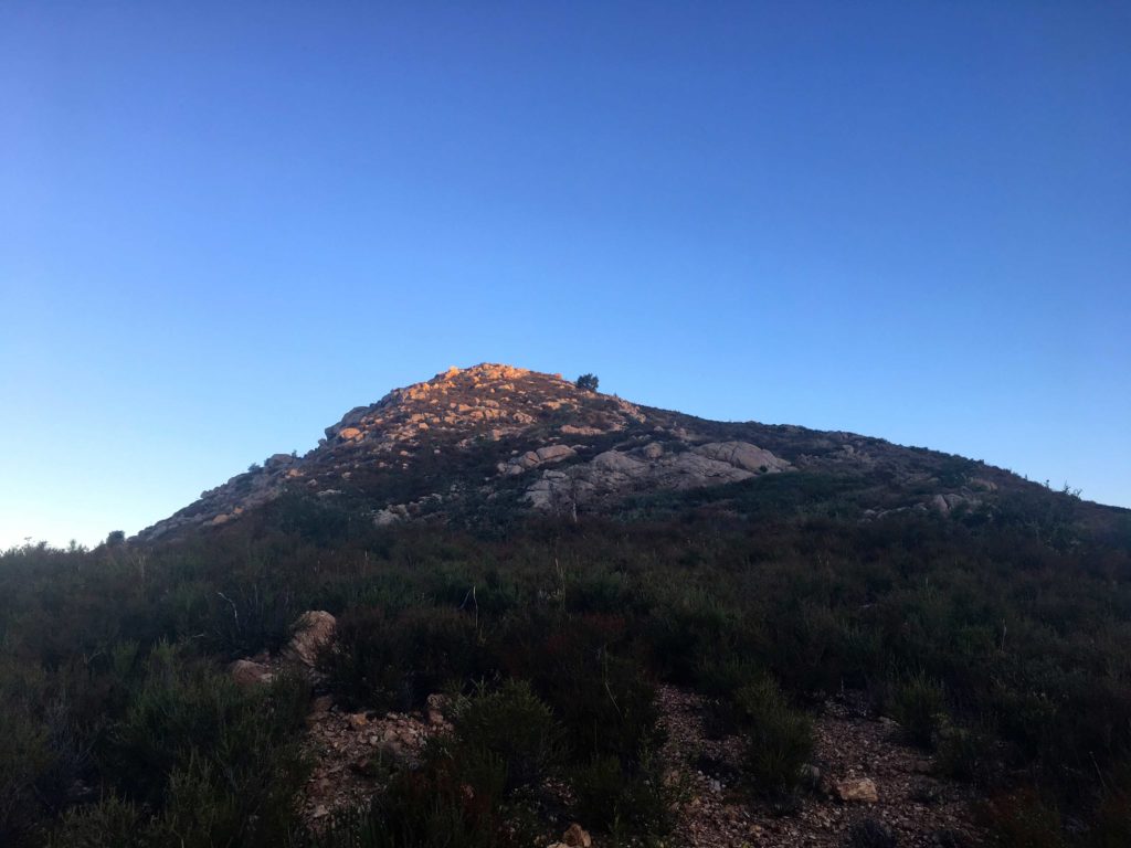
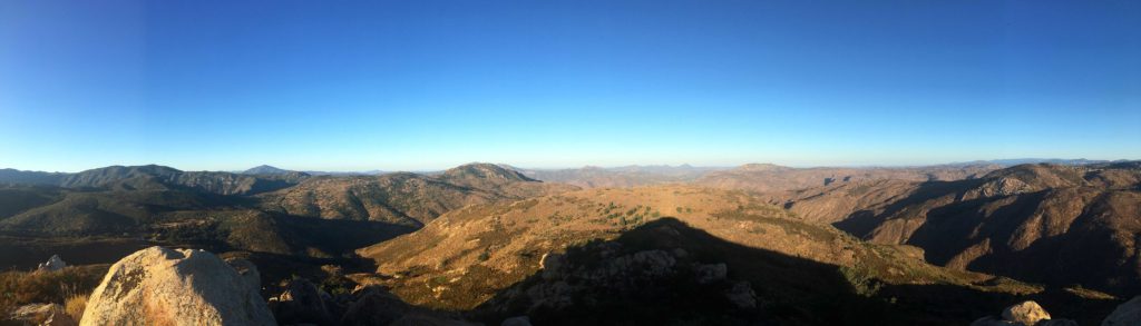
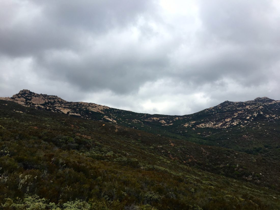
Once at the chimney, Dave scaled it first. As I made my way up, I needed a little help to get past the last rock. We passed through the cave, and since I had gloves on, I moved some broken glass off to the side. We saw the plastic register box off to the side, but we continued working our way up the rocks to the actual summit. No views today, but I was glad to stand atop it again. We did not stay long in case the weather would turn on us. We made our way down the chimney again, then finally to the road and onto Gaskill. The clouds had lifted some, so I could point out the actual summit to Dave.

As we cruised along the road, I spotted an arrow and a use trail that appeared to be the south trail I had read about in some trip reports, but I decided to stick to the trail I knew.

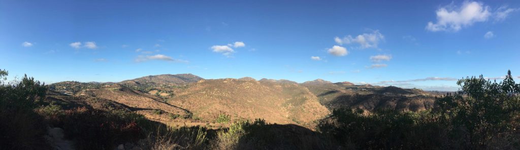
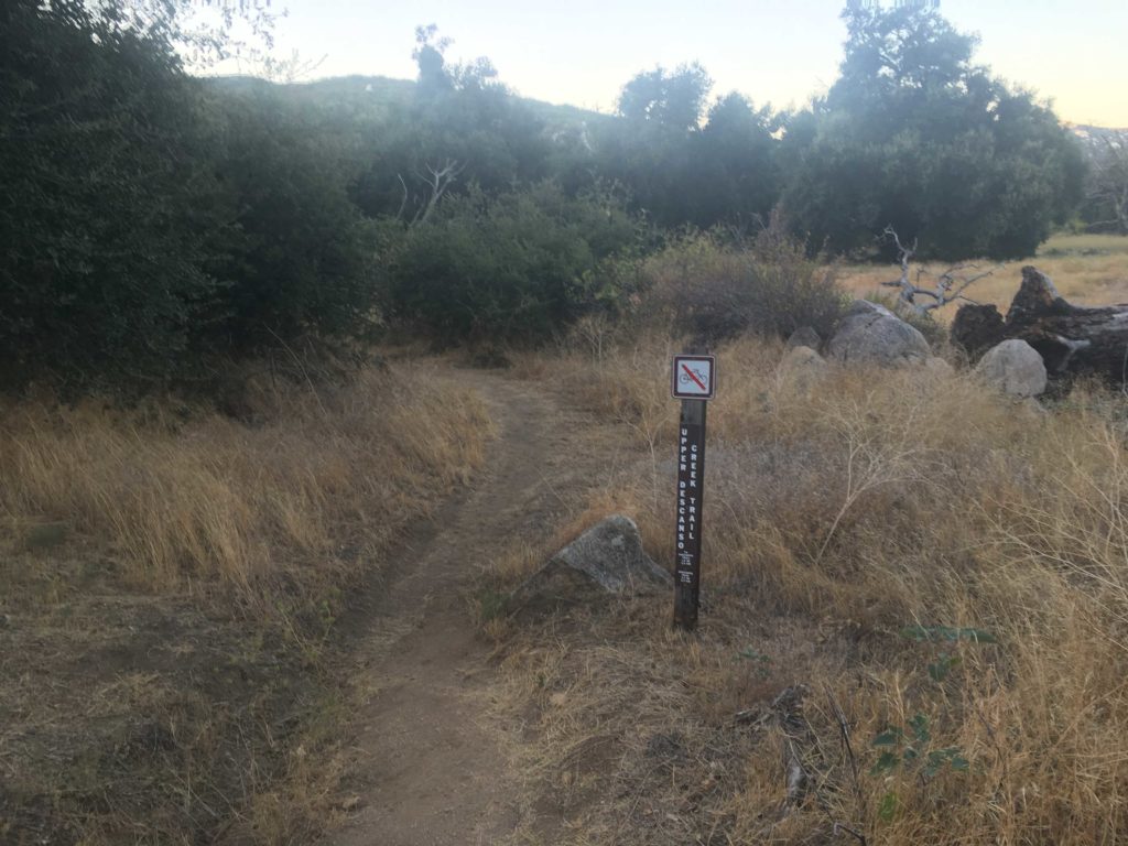
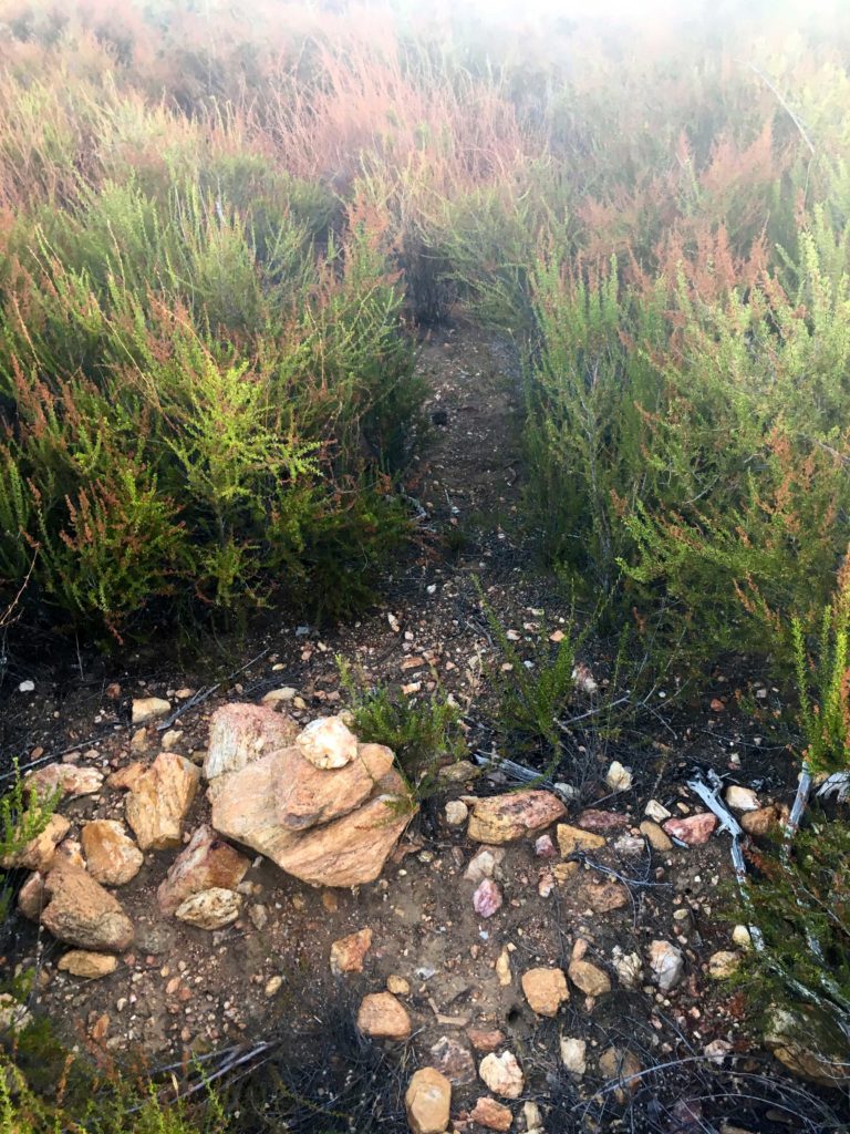
We finally came to the use trail I remembered and set off. We were enjoying the coolness, the quiet, and the smells of the plants as we worked our way closer to the peak. This trail was far less traveled than the Lawson trail, so we had to push through the brush as we climbed ever higher. The trail did vanish at one point, but we did find it again and continued our scramble across the rocks, taking extra care due to the dampness.

Finally, we reached the summit region. When I did Gaskill back in 2018, I was still recovering from my neck injury so I did not attempt the true summit. But this time I was going to make it! 

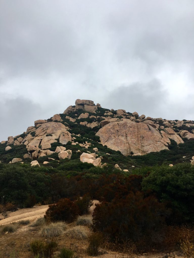
Following a use trail around the south side of the summit, I began looking for a ‘tunnel’ that would lead us up closer to the summit. And there, on the west side, it revealed itself!

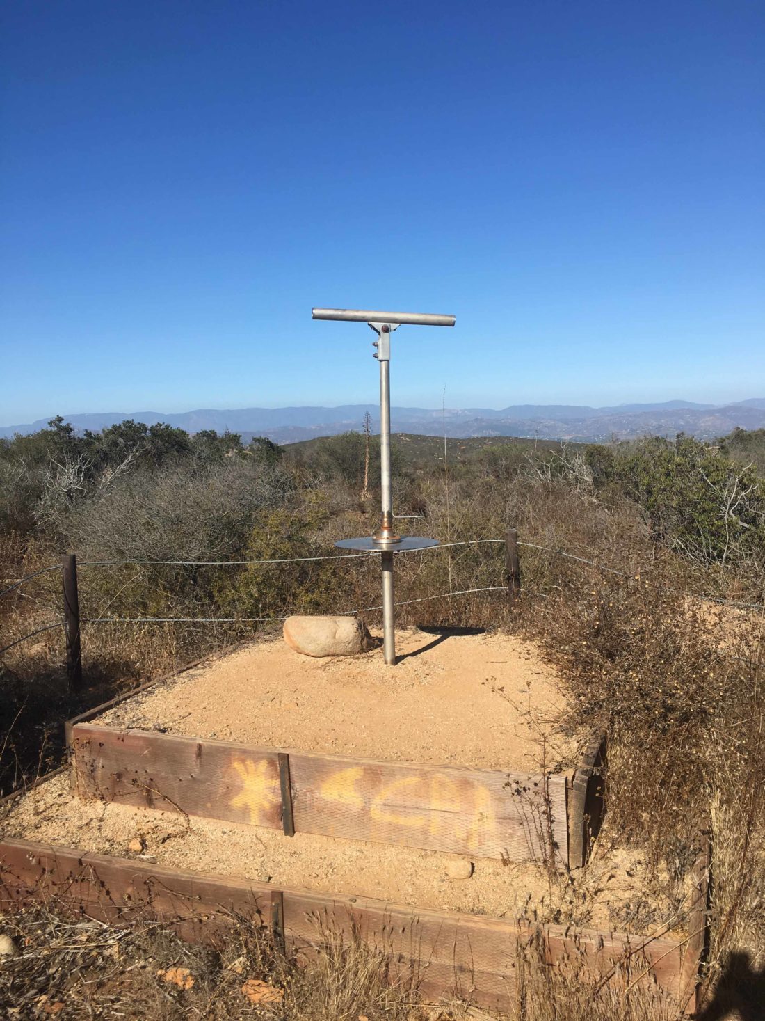
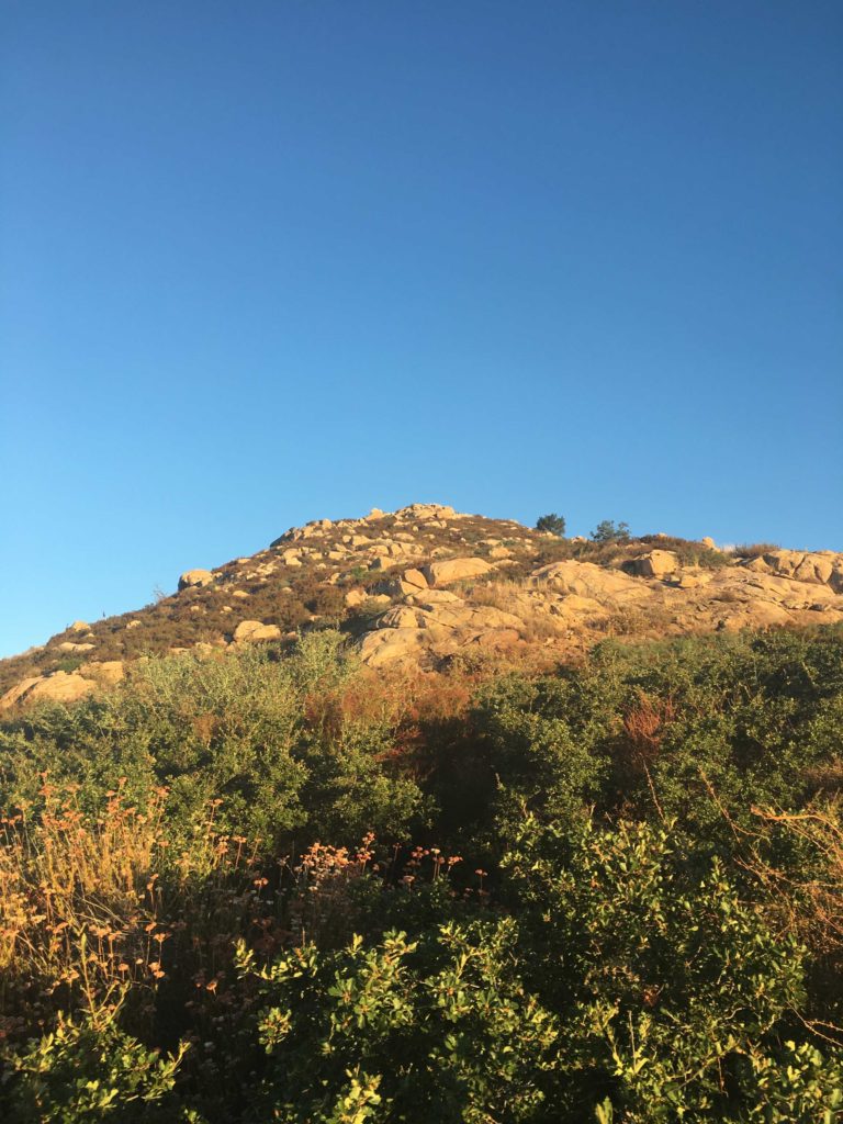
We easily clambered our way up, the true summit so very close. The final push required some careful hand and footwork, but I was now atop Gaskill! I proudly signed the register, that was tucked between two rocks. We did not stay long on the summit again, as we did still have a hard descent and several miles of hiking back to the car.

These peaks were #69 and #70 of my #100PeakChallenge!


Buy Me a Coffee at ko-fi.com

I am an avid peak bagger, sometimes backpacker, and former sea kayaker living in San Diego. I am the co-author of Urban Trails:San Diego, coming in Spring 2026!

In 2019, I became the third person to complete the San Diego 100 Peak Challenge. Not stopping with that accomplishment, I set my sights on the harder San Diego Sierra Club 100 Peak list, which I completed in 2021. In addition, I have conquered several Six-Pack of Peaks challenges (SoCal, San Diego, Central Coast, and both the Arizona-Winter and Arizona-Summer). I am looking forward to exploring new summits and new adventures across the southwest. 

East Mesa High Point

The sun was just illuminating the top of Cuyamaca peak as I pulled into the Sweetwater River parking lot. The air was crisp as I gathered my gear and set off counter-clockwise along the Harvey Moore Trail, which was named after the first superintendent of the park, with the goal of summiting the East Mesa High Point.

The trail works its way upward for a bit before reaching the mesa. Oakzanita stood to the south, and soon its summit was lit by the morning sun. Soon the mesa spread out before me, its golden grasses waving gently in the breeze as I made my way toward Granite Springs campground.

I passed through the empty campground, pausing for a bit on the bench beneath a grand oak tree. As the trail continued north, some movement to the left of me caught my eye. It was a deer walking through the grassland. I stopped and watched as it looked back at me, then it began leaping away. I turned back to the trail, and some 10-15 wild turkeys were just off to the side of the trail about 25 yards away.

As I crested the rise, I began to get my first glimpses again of the East Mesa High Point. There is no trail to this summit, so I spent some time scouting the possible route up. I had my GPS track from before but with the rains last year, who know about the growth…

I turned on the Deer Park Trail for a little bit before beginning the cross-country portion. I spotted a faint use trail that headed up the hillside, so I decided to follow it up. The basic route I was going to follow was to stay to the left of the heavy brush in the forested section up to or near the ridgeline, then begin the bushwhacking to the summit. This use trail led me to a small flat area that I remembered from before. Crossing through the knee-high grass, ever thankful for my gaiters, I reached the final rise to the summit. Again, I spotted a faint trail and began working my way up.

Soon, this trail reached the brush and the hard part was about to begin. I scanned the thicket and saw what seemed to be a route into it. I pushed through and would slowly find my way through, it actually turned out to be not as difficult as I had feared. As I neared the summit, I spied the metal pole denoting the summit. Weaving my way through the last of the brush, I had reached the peak again. I signed the register and enjoyed the views. I set back down the mountain, hoping that I would be able to pick up my route again. This is why it is so important to stop and survey the route you have taken.

Back on Deer Park Trail, I paused to address some burrs that slipped past my gaiters. A lone mountain biker passed by. We chatted some before we both continued northward. He turned south back along the East Mesa Fire Road/Harvey Moore Trail, and I decided to do the full loop. The last time I did this summit, I did it as an Out-and-Back. But this time I wanted to explore the rest of the trail. My legs were feeling great, even after summiting Hot Springs Mountain the day before. The trail continued through the mesa for a bit before making its steep descent toward Harper Creek. While the scenery was fine, I did have some shade to enjoy.

Once I crossed the dry creek, the terrain was almost desert-like in the canyon. Quite the contrast from the golden meadows a few hours earlier. I hustled down the trail. I could imagine when the creek is flowing, how one might enjoy this section, but for me it was meh. Finally, I reached the East Side Trail and begin heading south again back to the car, where the orange I meant to bring sat in the cooler… I kept up the pace, in part as it was getting a tad warmer and I had a farewell party to attend. The trail was gentle and shaded at times as it followed the dry Sweetwater River. After about two miles or so, I found myself back at the car. I quickly shed some of my hiking gear, enjoyed that orange, and headed back into town. That was my 68th peak of my 100 Peak Challenge!


Buy Me a Coffee at ko-fi.com

I am an avid peak bagger, sometimes backpacker, and former sea kayaker living in San Diego. I am the co-author of Urban Trails:San Diego, coming in Spring 2026!

In 2019, I became the third person to complete the San Diego 100 Peak Challenge. Not stopping with that accomplishment, I set my sights on the harder San Diego Sierra Club 100 Peak list, which I completed in 2021. In addition, I have conquered several Six-Pack of Peaks challenges (SoCal, San Diego, Central Coast, and both the Arizona-Winter and Arizona-Summer). I am looking forward to exploring new summits and new adventures across the southwest. 

Hot Springs Mountain

Today’s peak was to be the highest point in San Diego County, Hot Springs Mountain at 6,533 feet. As I drove out to Warner Springs, a fog bank hung over the lake, and the thermometer read 41! Hoping it was not like that at the campground. I made my way onto the reservation and slipped my $10 into the slot. Parking near the chain that blocks driving up Sukat road, the temperature was a crisp 56°F, what I had expected. I gathered my gear and started up the road.

If you have never done this hike, the first two miles are steep! I was glad to have a cool morning and some shade as I made my way up. I was passed by 4 trail runners practicing for the Ragnor race in a few weeks.

Once the steep section is over, the hike is nice. However, about a mile in the bugs started to appear. I grabbed my bug net and tossed it on. Before leaving the car, I applied bug spray so they avoid the arms. The road continued working its way upward. Portions were covered in acorns. Various animal tracks could be spotted in the dirt. Some nice signage pointed the way to the lookout tower.

I kept expecting to see the trail runners making their way back down, but I never did. I guess they headed down Hot Springs Road instead of going to the tower. After 5 miles of hiking and almost 2,500 feet of elevation gain, the abandoned tower came into view.

I took a break and enjoyed part of an orange and the views. A breeze had picked up so the bugs were held at bay. A register has been placed here, so I signed it. But the true summit is a just hike to the north.

Following an over-flagged use trail, I found myself at the base of the summit block. The register is located at the base, as it does take a bit of effort to scale the summit. Two ropes are attached to the top and they seemed solid. But I decided to scout around to find a possible safer ascent for a solo climber. Around the north side, a nice crack in the rock allowed me to get past the halfway point. From there it was a class 3 move to the top, the ropes gave me just enough comfort to scale the final portion. There the reference mark was found and the actual benchmark was down inside the concrete platform.

I took my photos and then scaled carefully back down from the summit. Grabbing my poles and pack I set off down the road. I was feeling great as the miles ticked past. I drank some Gatorade and eat some, all while moving. The bugs were too annoying to really stop. After just over 4 hours of hiking time, I found myself back at the car having covered 10.1 miles. This was my 67th peak of my 100 Peak Challenge!


Buy Me a Coffee at ko-fi.com

I am an avid peak bagger, sometimes backpacker, and former sea kayaker living in San Diego. I am the co-author of Urban Trails:San Diego, coming in Spring 2026!

In 2019, I became the third person to complete the San Diego 100 Peak Challenge. Not stopping with that accomplishment, I set my sights on the harder San Diego Sierra Club 100 Peak list, which I completed in 2021. In addition, I have conquered several Six-Pack of Peaks challenges (SoCal, San Diego, Central Coast, and both the Arizona-Winter and Arizona-Summer). I am looking forward to exploring new summits and new adventures across the southwest. 

Tooth Rock

UPDATE: This peak and trail are now closed to the public.

Since I still had my KT tape on my foot from yesterday’s hike up Mount Israel, I decided to go hike Tooth Rock in Poway.

The trail follows Rattlesnake Creek for about a half mile before starting its steep ascent to the distinctive rock at the summit. The trail is slightly overgrown, but I did not regret wearing shorts.

The setting sun cast a lovely glow upon Mt. Woodson and Iron Mountain to the east. I took a short breather and headed back down. All told this was 2.2 miles and 525 feet of elevation gain. More importantly my 66th peak of my 100 Peak Challenge!


Buy Me a Coffee at ko-fi.com

I am an avid peak bagger, sometimes backpacker, and former sea kayaker living in San Diego. I am the co-author of Urban Trails:San Diego, coming in Spring 2026!

In 2019, I became the third person to complete the San Diego 100 Peak Challenge. Not stopping with that accomplishment, I set my sights on the harder San Diego Sierra Club 100 Peak list, which I completed in 2021. In addition, I have conquered several Six-Pack of Peaks challenges (SoCal, San Diego, Central Coast, and both the Arizona-Winter and Arizona-Summer). I am looking forward to exploring new summits and new adventures across the southwest. 

Mount Israel

With the days getting shorter, I knew I needed to do this peak soon since the reserve closes around sunset. Unlike the last time I did this peak, the day was nice and clear. I crossed over Escondido Creek and began my climb up the Way Up Trail. There is no warm-up for this trail, so be warned. This nice thing about doing this hike in the late afternoon is you get some shade as you make your way up the switchbacks.

Once at the crest, you will reach a junction with some of the various trails in the reserve, as well as your first view of the Olivenhain Reservoir. Heading to the west is the Equine Incline Loop Trail which will take you up toward the actual summit.

The summit is located at the Elfin Forest Overlook. Here you will find two shaded stone benches to take a break on. There is also a memorial post to our canine companions. The actual summit is marked not by a benchmark but by a viewing platform. A similar one is also atop Iron Mountain.

After a quick break, I headed back down the trails and to my car. This was my 65th peak of the 100 Peak Challenge.


Buy Me a Coffee at ko-fi.com

I am an avid peak bagger, sometimes backpacker, and former sea kayaker living in San Diego. I am the co-author of Urban Trails:San Diego, coming in Spring 2026!

In 2019, I became the third person to complete the San Diego 100 Peak Challenge. Not stopping with that accomplishment, I set my sights on the harder San Diego Sierra Club 100 Peak list, which I completed in 2021. In addition, I have conquered several Six-Pack of Peaks challenges (SoCal, San Diego, Central Coast, and both the Arizona-Winter and Arizona-Summer). I am looking forward to exploring new summits and new adventures across the southwest. 

Los Pinos Lookout

While I had considered fully hiking up to Los Pinos from the Espinoza saddle when I restarted my 100 Peak Challenge, the temperatures were not favorable. So, instead, Ted and I drove up toward the summit and would hike the last bit to make it count.

After working our way up the semi-paved road, thankfully only encountering one motorcycle, we pull over at the turn-off to the summit. We hiked up the road. The Los Pinos Lookout tower was manned, and we were invited up.

We got a full tour of the tower and how it works. He shared some of the wildlife he has captured on his camera. It was quite a collection of critters.

We bid farewell and took the shortcut back to the car. This quickly little jaunt was my 64th peak of the 100 Peak Challenge!


Buy Me a Coffee at ko-fi.com

I am an avid peak bagger, sometimes backpacker, and former sea kayaker living in San Diego. I am the co-author of Urban Trails:San Diego, coming in Spring 2026!

In 2019, I became the third person to complete the San Diego 100 Peak Challenge. Not stopping with that accomplishment, I set my sights on the harder San Diego Sierra Club 100 Peak list, which I completed in 2021. In addition, I have conquered several Six-Pack of Peaks challenges (SoCal, San Diego, Central Coast, and both the Arizona-Winter and Arizona-Summer). I am looking forward to exploring new summits and new adventures across the southwest. 

Corte Madera

The sun had almost risen as we pulled into the turnout to the start of today’s hike to Corte Madera. We had done this hike almost two years before. This time we were just missing Dave.

As we began following the road to the Espinosa trail, the oaks that lined the road would be providing welcomed shade upon our return. Once we made the turnoff, the trail began to climb, and after a bit, the oaks receded. The sun finally crested the distant mountains as we made our way up to the saddle.

Once there, another Subaru was parked. We wondered if we would run into them along the trail. Los Pinos stood over us to the south. From here we had our first glimpse of Corte Madera glowing in the early morning sun.

After following the road north for a bit, we would again return to the trail. This is where we would gain a modest amount of elevation. The day was already beginning to warm, as we pushed upward. Once we spotted the split rock, we took a short break.

The trail would continue working its way westward. While the trail is easy to follow, you will want to wear long pants, as there is some overgrowth along with it.

Soon we reached the summit! We did not stay too long as we could feel the day getting warmer. There did not seem to be a benchmark, but we located the register near the edge of the cliff, secured to a bush.

We quickly made our way back down. The one rocky descent we had going out to the peak was almost trivial when ascending. Soon we found ourselves back at the saddle, and the car still there. Hum? The day was continuing to warm up as we headed down the Espinosa trail. Those oaks along the road did provide some welcomed shade as we made our way back to the car. This was peak #63 of my #100PeakChallenge!


Buy Me a Coffee at ko-fi.com

I am an avid peak bagger, sometimes backpacker, and former sea kayaker living in San Diego. I am the co-author of Urban Trails:San Diego, coming in Spring 2026!

In 2019, I became the third person to complete the San Diego 100 Peak Challenge. Not stopping with that accomplishment, I set my sights on the harder San Diego Sierra Club 100 Peak list, which I completed in 2021. In addition, I have conquered several Six-Pack of Peaks challenges (SoCal, San Diego, Central Coast, and both the Arizona-Winter and Arizona-Summer). I am looking forward to exploring new summits and new adventures across the southwest. 

Wooded Hill

Since it was still early after finishing Oakzantia, I decided to drive up to the Lagunas and quickly so Wooded Hill. I had planned to do this when I did Manza Benchmark and Sheephead Mountain but I thought why not just get it out of the way. I drove down the short spur road the trailhead. Another car was parked under the shade of the trees. While it was still warming up, I knew this trail was short and shaded.

I hustled along the trail toward the summit. The trees certainly made for a pleasant canopy to walk under. The summit is nondescript with no register nor benchmark.

I decided to make the loop again. Two mountain bikers were making their way up, which I politely informed them at this was a hiking-only trail. A bit later I passed a family enjoying the trail as well. Back at the car, it was nice to mark this peak off the list. That was peak 62 of my 100 Peak Challenge.


Buy Me a Coffee at ko-fi.com

I am an avid peak bagger, sometimes backpacker, and former sea kayaker living in San Diego. I am the co-author of Urban Trails:San Diego, coming in Spring 2026!

In 2019, I became the third person to complete the San Diego 100 Peak Challenge. Not stopping with that accomplishment, I set my sights on the harder San Diego Sierra Club 100 Peak list, which I completed in 2021. In addition, I have conquered several Six-Pack of Peaks challenges (SoCal, San Diego, Central Coast, and both the Arizona-Winter and Arizona-Summer). I am looking forward to exploring new summits and new adventures across the southwest. 

Oakzanita Peak

The late-season heatwave certainly altered my planned hike for this Saturday. I had hoped to take a friend out and summit Lawson and Gaskill. But with the forecast in the low 90s, almost no shade on the trail, and rocks that will get quite toasty, this hike was not in the cards. Looking over my remaining peaks and Oakzantia seemed to be a safe replacement.

I got to the trailhead at sunrise. I debated if I should use the East Mesa Fire Road or the Oakzantia trailhead. Since I did the Oakzantia trailhead last time, I opted for it so I could compare my pace. The air was still cool as I followed the Lower Descanso Creek trail. A little water still flowed in a few spots along the trail.

This trail rejoins the East Mesa Fire Road for a short time, hence why I considered the other route. Once you have rounded the meadow, I headed on the Upper Descanso Creek Trail. Crossing back to the south side of the creek, it was now time to begin working my way to the summit. I still enjoyed the shade, but the sun was starting to illuminate Cuyamaca’s peak to the north.

I was making great time along the trail and soon I came to the junction with the spur trail to the actual summit. The trail did become slightly more overgrown in sections. The summit loomed over me, now bathed in the morning light.

The summit offered some great vistas. Thankfully the bugs were not too bad. This peak does not have a register and a non-standard Benchmark. It also has a rail to tie up your horse.

Coming back down I was passed by a gaggle of trail runners. Three hikers passed me making their ascent. Back at the car, the thermometer read 80 degrees at just after 9 am. This was my 61st peak of my 100 Peak Challenge!


Buy Me a Coffee at ko-fi.com

I am an avid peak bagger, sometimes backpacker, and former sea kayaker living in San Diego. I am the co-author of Urban Trails:San Diego, coming in Spring 2026!

In 2019, I became the third person to complete the San Diego 100 Peak Challenge. Not stopping with that accomplishment, I set my sights on the harder San Diego Sierra Club 100 Peak list, which I completed in 2021. In addition, I have conquered several Six-Pack of Peaks challenges (SoCal, San Diego, Central Coast, and both the Arizona-Winter and Arizona-Summer). I am looking forward to exploring new summits and new adventures across the southwest. 

Sunshine Mountain

I initially did not think I was going to get any peaks this weekend, as my son is about to head to Israel for 10 months on the Nativ College Leadership Program. But, I was able to squeeze in two peaks in the early morning.

Decided to knock out Sunshine Mountain and Ant Benchmark. I had hoped to do them when I did Eagle Peak, but the heat said no! I reached the trailhead for Three Sisters just before sunrise. To my delight, Cedar Creek Road was open! Woot!! That meant one less mile of hiking! Pulling into the turnout, two cars were parked. I guess it is hunting season… I quietly got ready and headed out.

The trail is overgrown, like many of the more obscure ones. I reached the base of the mountain just after it became illuminated by the rising sun. I saw a set of cairns, checking my previous track, I set off up the mountain.

I picked my way through the brush, I lost the cairns for a while, and just relied on my guesses through the brush and rocks. Once I picked the cairns back up the route became easier.

At the summit and took in the view. Eagle Peak was to the southwest of me. There is no benchmark, but I signed the register again. The forecast was that it was going to reach the upper 80s, so I did not want to goof off too long at the summit.

I made my way down without any issues, I found the main trail again without issue. This was the one hiccup we had when I first did the peak. Quickly I was back at the car and off to my next peak. That was peak #59 of my #100PeakChallenge!


Buy Me a Coffee at ko-fi.com

I am an avid peak bagger, sometimes backpacker, and former sea kayaker living in San Diego. I am the co-author of Urban Trails:San Diego, coming in Spring 2026!

In 2019, I became the third person to complete the San Diego 100 Peak Challenge. Not stopping with that accomplishment, I set my sights on the harder San Diego Sierra Club 100 Peak list, which I completed in 2021. In addition, I have conquered several Six-Pack of Peaks challenges (SoCal, San Diego, Central Coast, and both the Arizona-Winter and Arizona-Summer). I am looking forward to exploring new summits and new adventures across the southwest.