With a nice weather forecast, I decided to tackle both Agua Tibia and Eagle Crag. I have hiked them before, Agua Tibia from Dripping Springs Campground and Eagle Crag from Cutca Valley Trail. I pulled into the hiker parking area at Dripping Springs just before 5:30. I put on my Osprey Talon for its inaugural hike. While I liked the Osprey Hikelite, I really missed having hip pockets. It was worth a bit more pack weight for the convenience. I finished my pre-hike water and set off. It was cool under the cloudless, starry sky. My headlamp guided me through the 4/10 mile walk through the campground. I went to sign the hike log, but none was to be had. The plan was to hike up to Agua Tibia, then continue on to Crosby Saddle. Depending on how I was feeling, I would push on to Eagle Crag. This was going to be a marathon hike.
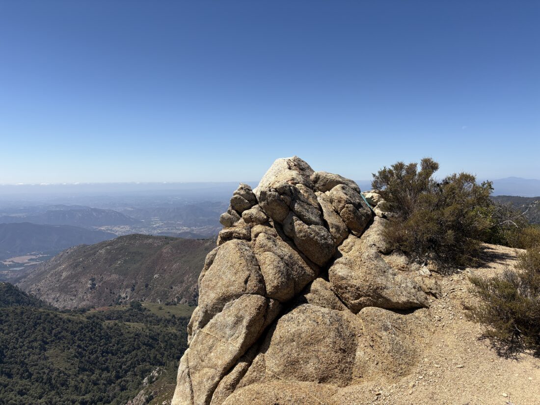
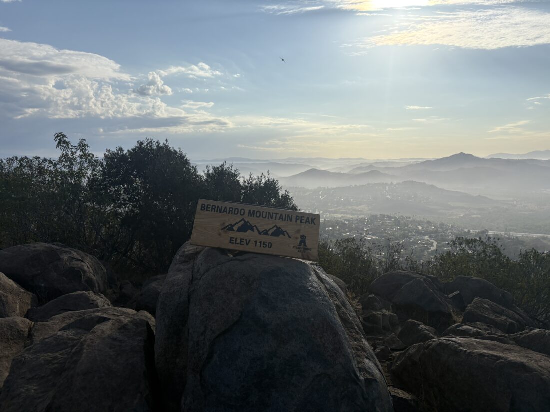
The trail was in great shape, and even with just my headlamp to guide me, I cruised along. Slowly, the predawn light began to fill the eastern sky, and the outline of San Jacinto began to take form. I pushed on, heading ever upward. I reached the log that Ted and I took our breaks on the last time I hiked this trail. I paused for a quick snack, but kept on going, as I was feeling good. I reached the junction with the Palomar-McGee trail and continued onto it. Before too long, I began looking for the cairn that marked the turn off to the summit of Agua Tibia. From there I weaved my way along the use trail until I reached the summit. Here I took a nice break in the shade and enjoyed some well-earned snacks. I found the register, the benchmark, and two reference marks. For fun, I scrambled to the top of the summit block.
With that peak now checked off, it was time to hike into the unknown. From the trip reports I had read, the quality of the trail degrades past the Agua Tibia turnoff. The question was how bad? It was 2 miles down to Crosby Saddle, so off I went. Earlier, a trail runner had passed, and since I did not see him again, I had to assume that the trail was passable in some form.
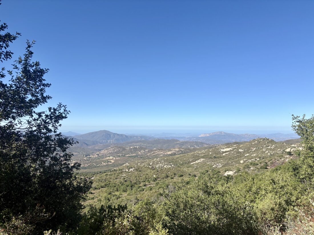
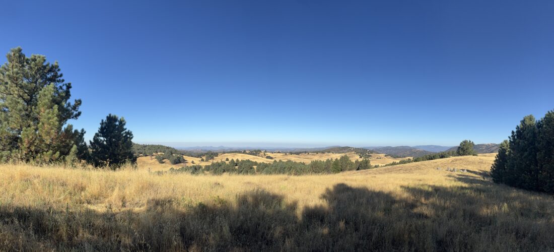
The trail was certainly being overgrown, and I had to push the overgrowth away from time to time. None of it would be at the level of bushwhacking, yet. There were quite a few downed trees across the trail as well. Many I could step up and over, a few had me crawling under, and one required a bit of climbing to pass. From time to time, I could see Eagle Crag off to my south. I reached Crosby Saddle around when I expected to. However, I was not certain I would return through those last two miles on my return. I might gamble and take the Wild Horse Peak Trail back. But now it was time to push on toward my second peak, Eagle Crag.
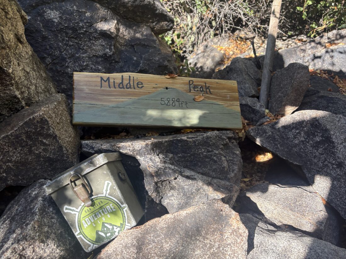
The trail was a bit more overgrown at first and also had some downed trees. A few times, I just trusted my trail guts and pushed through the manzanita. When the brush wasn’t a problem, the trail was nice and wide, which let me cruise along nicely. However, flies became enough of a nuisance that I broke out the bug net. The day had warmed up some, but it was still pleasant, and I did have a modest amount of shade as well. Soon, I was standing in front of the cairn that marks the turn for the ascent to Eagle Crag. This is an incredibly steep scramble and one I was not looking forward to making again. I carefully worked my way up, each step was carefully placed as I slowly picked my route. There were a few more cairns, but I lost them. I tried to follow my best judgment through the terrain. A branch tore my sleeve, and my wrist was also bleeding as I bushwhacked through. Finally, I made it into more navigable terrain and worked my way closer. I found the cairns again and could see the crag! I zigzagged through the low manzanita bushes until I reached it. I slipped off my pack and found some shade to rest. I ate my lunch, drank some electrolytes, and ate some more. While I had bagged my second peak, I still had to hike out. I snapped some photos. I brought my tripod to photograph myself on the crag. I didn’t frame it right, and I cut off my head. Don’t ask why I didn’t check it before leaving.
As happens so often, the trail becomes easier to see on the descent, and I avoided all that nasty brush working my way down. The trail did vanish, so I worked my way into the gully and followed back to the trail. For those using this trip report as a guide, try to use my down route for your ascent. I had 1.5 liters of water left and about 12 miles of hiking. I was a bit worried about that fact.
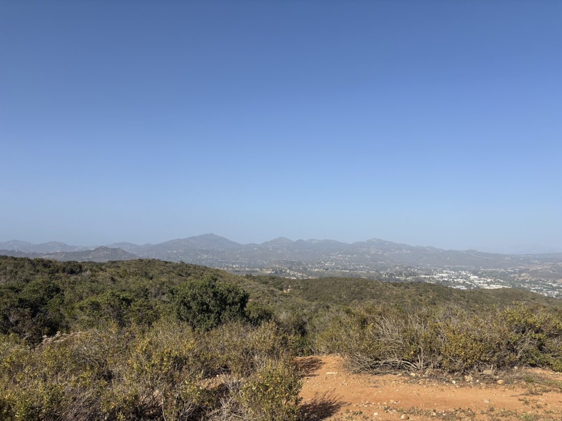
Once back at the saddle, I had to decide which route to take. The return via Agua Tibia was shorter, but it had that less-than-pleasant section to deal with. Going past Wild Horse Peak was longer, but it seemed to look easier on the map. I opted for Wild Horse. Why not do a full survey of all the trails?
The trail was a tad overgrown, and my bug net would get caught from time to time, but nothing too bad. My low water supply worried me, however. I called my wife and asked if my son could meet me on the trail with some water. I had about 6 miles to go and a 1/2 liter left. The trail was mostly downhill, although I did have one climb that forced me to drink a bit more. I ate a few Mike & Ike’s from time to time to keep my energy up. I finished my dried apricots and jerky as well. I miscalculated my water, but no need to bonk by not keeping fueled.
With just under two miles to the junction, I began to keep an eye out for Ben. Judging my pace, what I estimated his driving time, then his hiking time, I should be seeing him soon. I spotted him at the top of a small climb and told him to wait. He was a welcome sight. I drink about a liter and a Gatorade. The sun was getting low, so we set off. We made our way back down the trail. Ben pointed out where he had to gamble to With just under two miles to the junction, I began to keep an eye out for Ben. Judging my pace, what I estimated his driving time, then his hiking time, I should be seeing him soon. I spotted him at the top of a small climb and told him to wait. He was a welcome sight. I drink about a liter of water and a Gatorade. The sun was getting low, so we set off. We made our way back down the trail. Ben pointed out where he had to gamble to reach me. I told him to take the Dripping Springs trail toward Crosby Saddle. I forgot that the junction sign points differently. Glad he chose the right one. We reached the end of the trail and made the walk through the campground. When we reached our cars, he made sure I was truly ok.
He then headed home, as he had a big event he was overseeing the next morning. I changed my shirt and shoes and drank the cold water I had in the car. I grabbed a burger on the way home and drank a large Coke. Other than my water error, I actually felt pretty good. Tired and a bit sore, but almost 24 miles (plus 0.8 miles in the campground) with 4,700+ feet of elevation gain might do that. The next day, I measured exactly what I had left, a whopping 4 oz. For the last two miles. Did I need to call for help? Maybe, maybe not. I would have been very miserable for those last couple of miles for sure. It was wise to put my ego aside and ask for it. I am certainly going to be adding a bit more water for any future harder hikes. The final stats for this near-marathon were 23.8 miles, in 13:11 with a healthy 4,708 feet of gain.
I am an avid peak bagger, sometimes backpacker, and former sea kayaker living in San Diego. I am the co-author of Urban Trails: San Diego, available now!
In 2019, I became the third person to complete the San Diego 100 Peak Challenge. Not stopping with that accomplishment, I set my sights on the harder San Diego Sierra Club 100 Peak list, which I completed in 2021. In addition, I have conquered several Six-Pack of Peaks challenges (SoCal, San Diego, Central Coast, and both the Arizona-Winter and Arizona-Summer).
I am looking forward to exploring new summits and new adventures across the southwest.