With the first heatwave of the season arriving, it was a reminder that I needed to be selective with my peaks. For example, the county closes El Cajon Mountain and Mt. Gower during the month of August due to the heat.
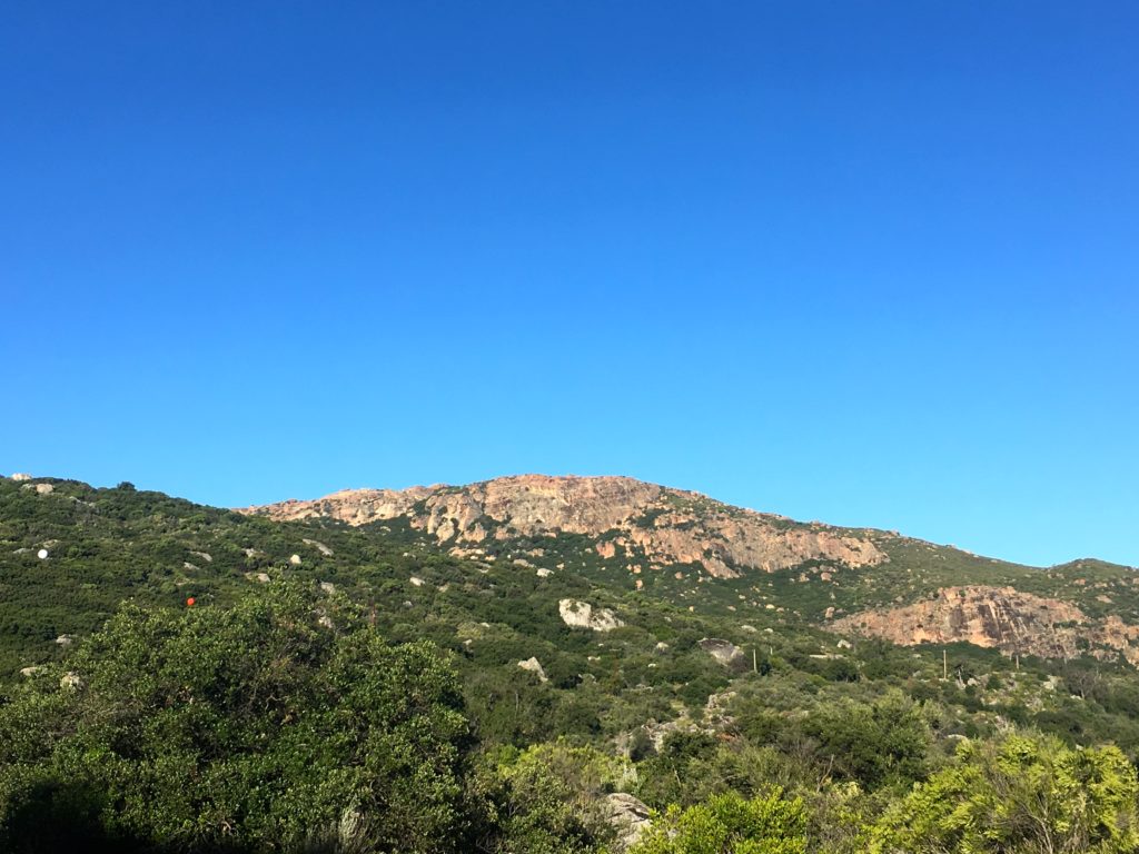
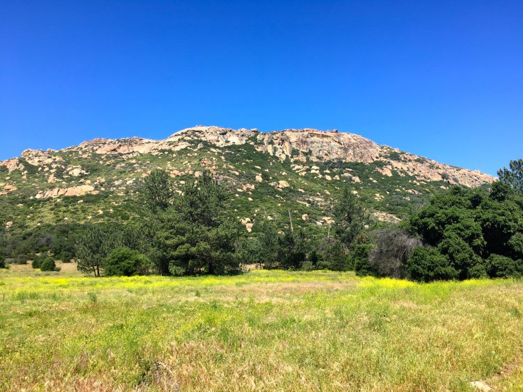
Morena Butte is certainly one of these peaks. This peak was a special one, as it was my first peak after my first bout of plantar fasciitis. For that summit, I opted to take the dam route. This time I decided to follow the more traditional route that follows part of the PCT before heading up the south side of the Butte. I paid 3 dollars and parked near the trailhead. As I worked my way along the service road, the screech of a Golden Eagle filled the air. Soon I reached the turnoff that would connect with the PCT.


The shade was welcomed, but the bugs were not. Wildflowers still doted the sides of the trail. The route is well marked and I was only pulling my phone out for photographs.
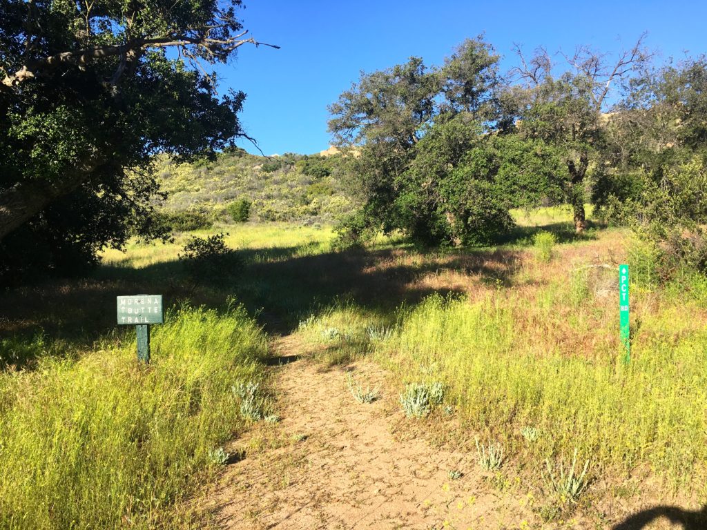
Given my timing, I did not expect to encounter any PCTers on the trail. Again, a nice sign indicated the turnoff to begin the proper ascent of Morena Butte.


This trail begins working its way up from what had been a fairly flat hike so far. The rains this year have made the brush in some sections a tad thick. While there were a few steeper sections, the climb was fairly manageable. As the summit drew nearer, the trail began to fade away, but there were plenty of rock cairns to guide the way.
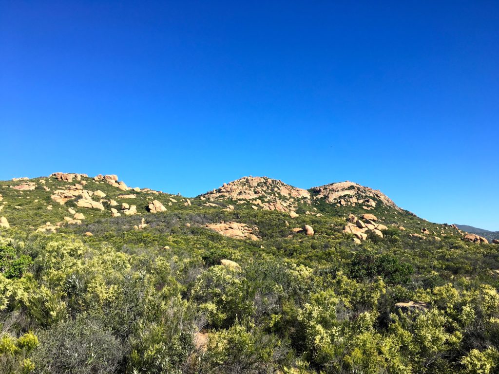
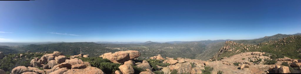
Once upon the Butte, it was a nice stroll to the high point of the south butte. The wind was gusting around 20-30 mph, so I knew I was not going to be hanging out too long. I scrambled up to where the register was. While looking at the views, my hat blew off into the brush below.


I signed the register and scrambled through the brush to retrieve my hat. I debated about venturing over to the other two high points but opted not to. Once I found the trail again, I made my way back down and onto the PCT. As I neared one of the junctions, I debated if I should return the same way or venture back on the other route. It was getting a tad warm, so I headed back along the same route. At the next junction, I remembered that this section had two parallel tracks, so I opted for the eastern track.
The upside of the wind, the bugs were being kept at bay. The old road eventually reconnected with the service road. I strolled back to the car, again thinking of how far I have come since my first time up to the top of this peak.


I am an avid peak bagger, sometimes backpacker, and former sea kayaker living in San Diego. I am the co-author of Urban Trails: San Diego, available now!
In 2019, I became the third person to complete the San Diego 100 Peak Challenge. Not stopping with that accomplishment, I set my sights on the harder San Diego Sierra Club 100 Peak list, which I completed in 2021. In addition, I have conquered several Six-Pack of Peaks challenges (SoCal, San Diego, Central Coast, and both the Arizona-Winter and Arizona-Summer).
I am looking forward to exploring new summits and new adventures across the southwest.