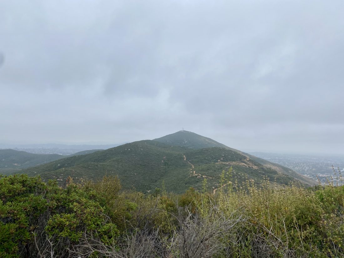
Since two of the three of us had evening plans, that ruled out any “big” hikes. So, instead, we tossed around a few smaller hikes that might fit the bill. In the end, we settled on hiking San Mateo peak, just an hour north in Riverside County. This peak is on the Lower Peaks Committee list, so we would get to cross off another one. Since the mileage for the peak was going to be just under 5 miles and the elevation gain was not too much, we had a slightly later start than our usual departure times. The drove up to Lake Elsinore and on to the 74 went quickly, as Susie, Ted, and I had not hiked together in a while, so there was a lot of catching up to do. The clouds hung low and as we neared the turn off from the 74 toward the Morgan Trailhead, I was driving in them. I pulled into the parking area and hung my Adventure Pass on the mirror. We gathered our gear and set off.


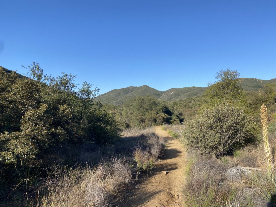
At about 2/10 mile in, we came upon a register box and we signed in. Almost directly behind is the trail o take up to San Mateo Peak. We made the mistake of continuing along the trail that we had been on for a bit before realizing we were headed the wrong way. The trail was really mellow, so backtracking was easy. The trail follows a seasonal stream for about another ½ mile. Some poison oak lined the edge of the trail, so having long pants was a good idea. We reached another junction that was well signed and the trail began to climb away from the creekbed. Along the route, we would keep our eyes open for the three dinosaurs that are placed along the trail. I have no idea why, but they are there.


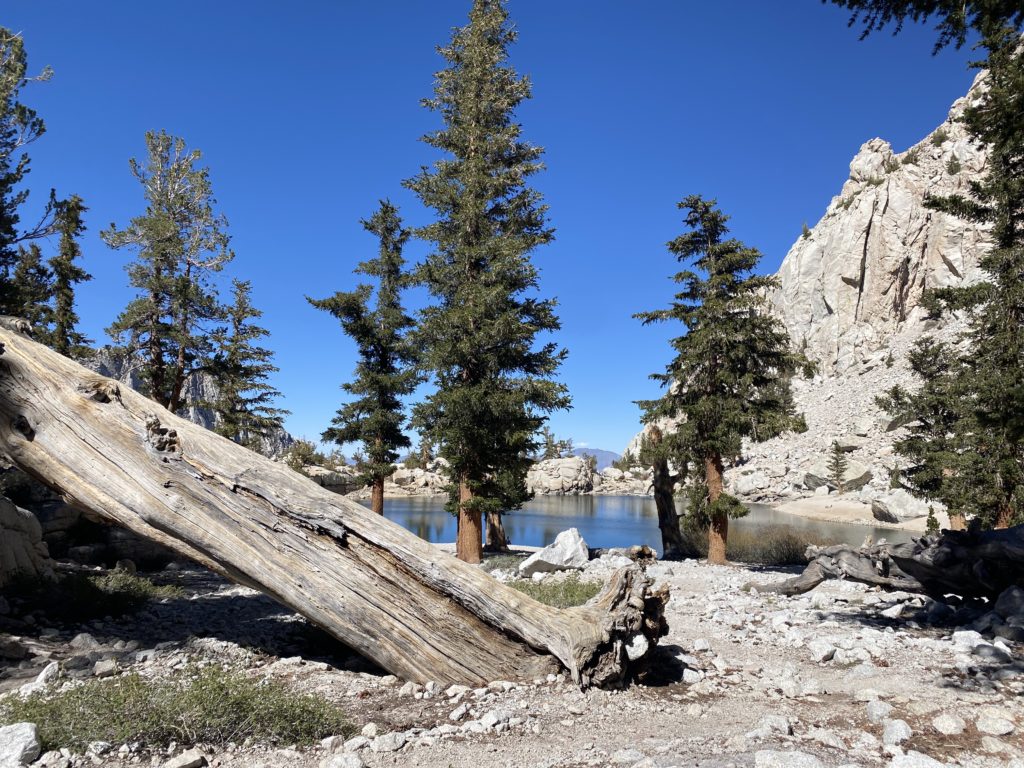
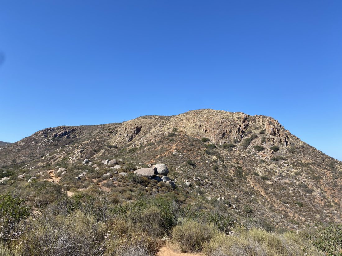
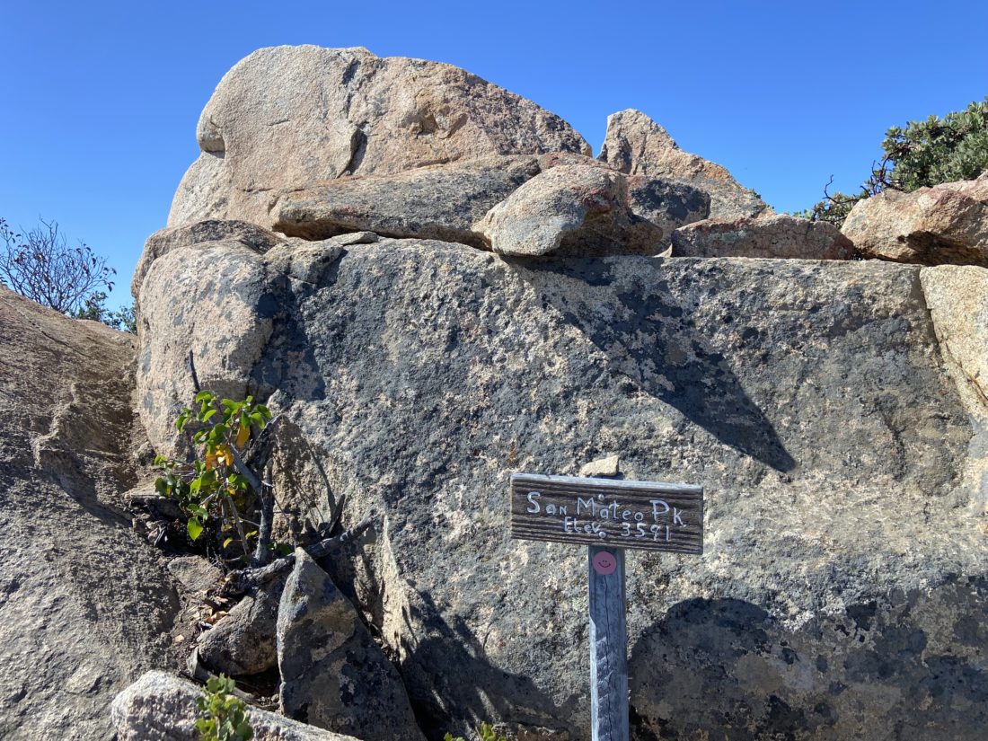
The clouds slowly began burning off and the possible summit revealed itself off to the south. Further, in the distance, we could see the towers atop Margarita Peak. The trail had a few ups and downs but mostly kept climbing upward. Finally, we spotted the summit and shortly thereafter were enjoying its views. It had a nice summit block that some of us scrambled up on. Off to the west, we spotted Sitton Peak, and Santiago loomed to our north.


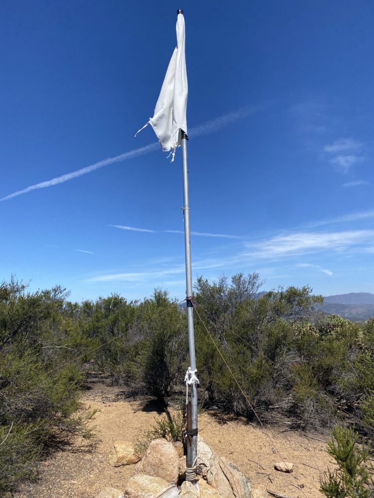
After signing the register, we began to retrace our route. About halfway back, we saw a flag pole atop a small peak to our north that we had missed due to the cloud cover. I located what I hoped was the use trail and made the short climb to it. According to Peakbagger, this was Peak 3065. There was nothing there that gave us any clue as to why there was a flag pole, but a peak is a peak.
We rejoined the main trail and continued down until we actually encountered another hiker heading up. So much for checking “Only Party on the Mountain” on our ascent log on Peakbagger. Soon we were back at the car after a pleasant 4.5 miles in a comfortable 2:36. I logged the total elevation gain at 937 feet. The drive home took a bit longer due to some construction but still wasn’t too bad of a drive.


I am an avid peak bagger, sometimes backpacker, and former sea kayaker living in San Diego. In 2019, I became the third person to complete the San Diego 100 Peak Challenge. Not stopping with that accomplishment, I set my sights on the harder San Diego Sierra Club 100 Peak list, which I completed in 2021. In addition, I have conquered several Six-Pack of Peaks challenges (SoCal, San Diego, Central Coast, and both the Arizona-Winter and Arizona-Summer). Beyond attempting the San Diego Sierra Club 100 Peak list a second time, I am looking forward to exploring new summits and new adventures across the southwest.