Daley Ranch & Burnt Mountain

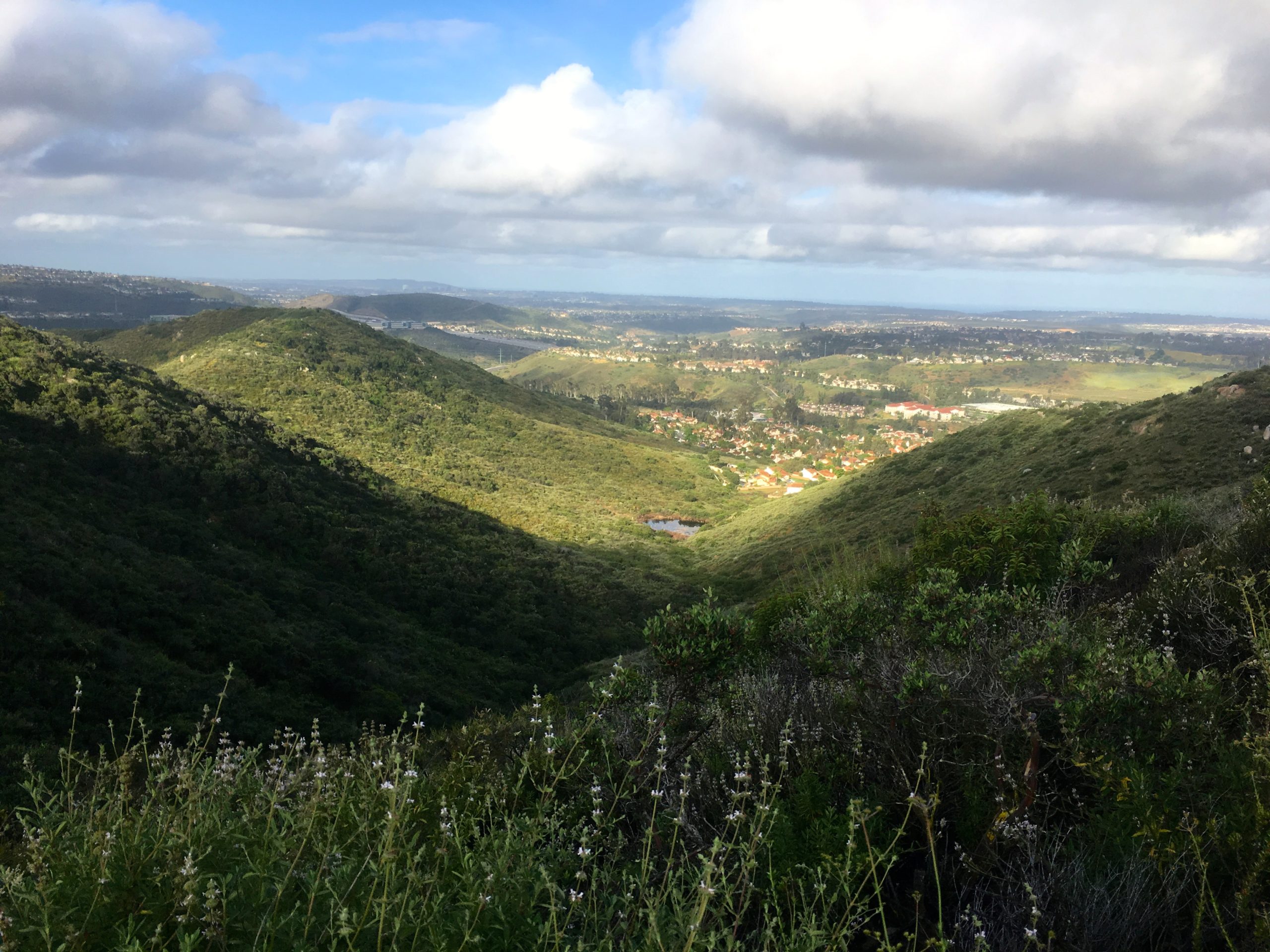
Today I decided to go out to Daley Ranch and summit Burnt Mountain. Daley Ranch has been closed for some time due to Covid-19, so I was glad to take advantage of its open status. This area has always been a popular spot for hikers and mountain bikers, so doing this hike on a weekday seemed like a good idea. I pulled into the Cougar Pass Trailhead’s parking lot just after 7. There were already 5 cars parked. I grabbed my gear and headed down the trail. I had hiked most of the route I was planning to take back in 2016. I found my route in Runkeeper, but not a single photo. I guess I will have to make up for that oversight.
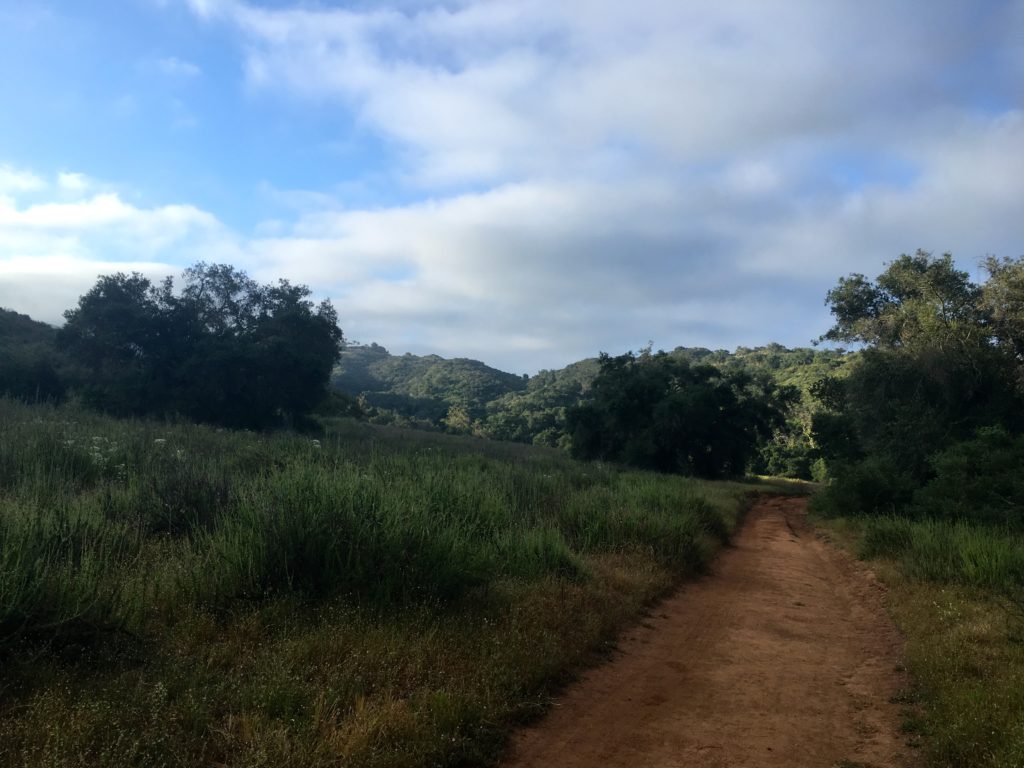
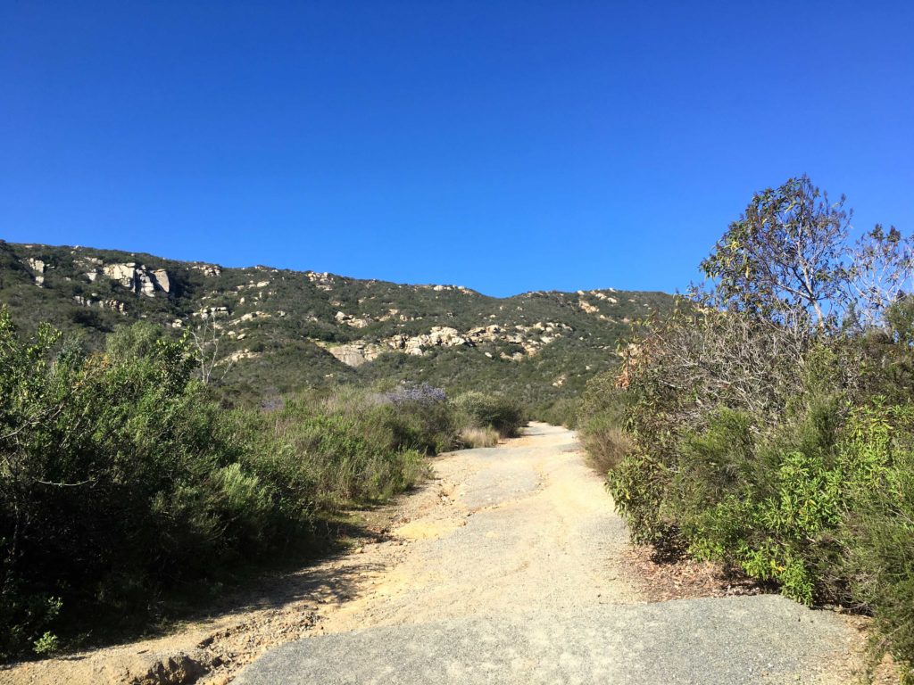
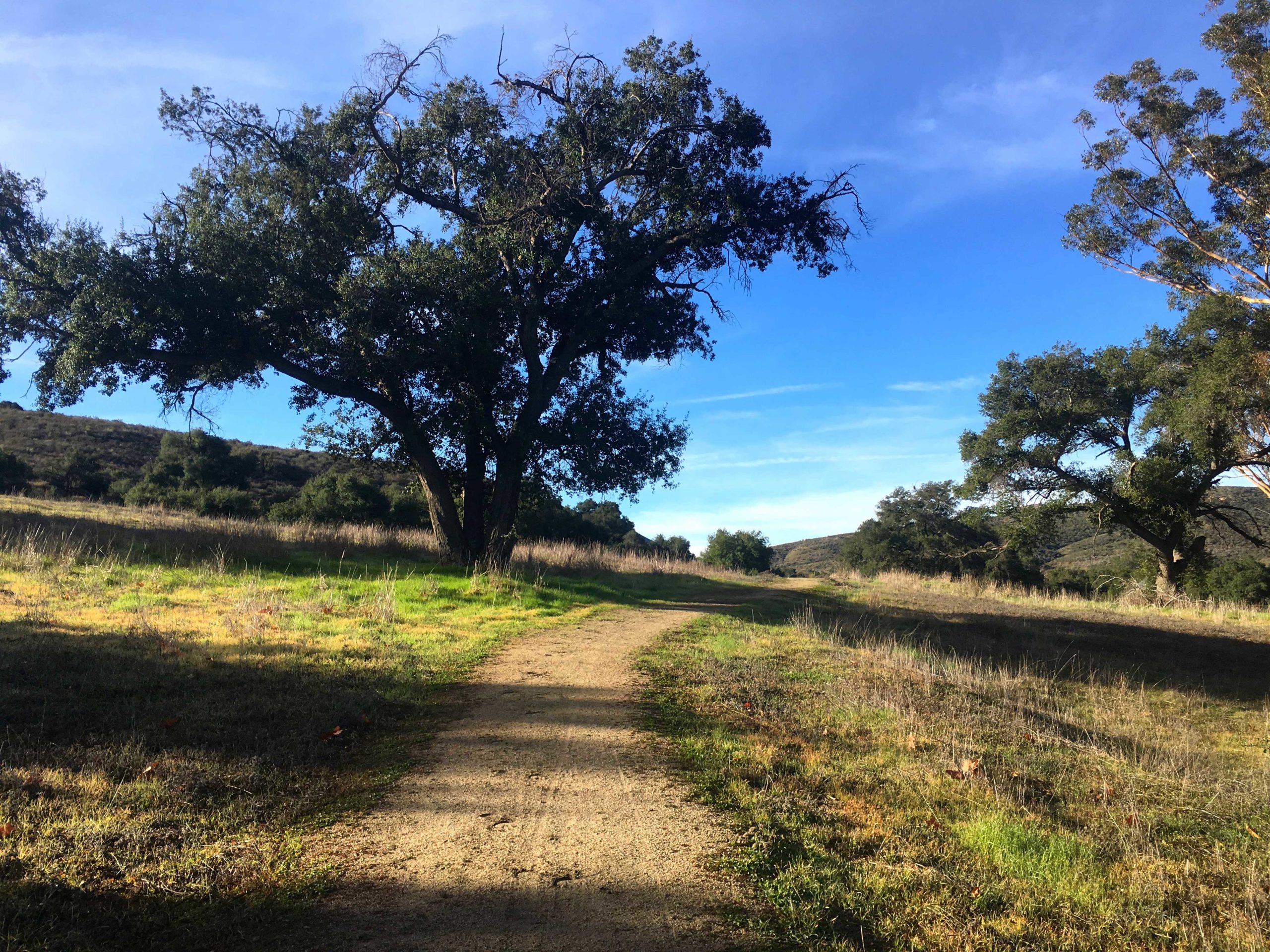
The first part of the hike would be along the Cougar Ridge Trail. It would work its way upward, crossing two flowing streams along the way. Oaks provided shade in spots. The wide trail appears to be recently graded. After a bit, the Engelmann trail connected from the east, but I wanted to take it from the other junction, so onward I hiked.
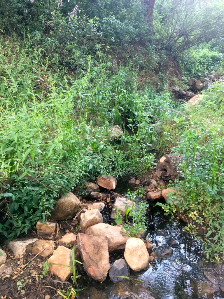
The next trail I encountered was the Bobcat Trail. This single track bisects the Engelmann Loop. I might take it upon my return.

Finally, I reached the other junction for the Engelmann Loop. I could see Burnt Mountain before me, and where my route probably was. Flowing water worked its way down the middle of the trail, but there was enough space on either side to keep from having issues. I soon came to a small pond. I spied a mother duck and her ducklings having breakfast on the water.
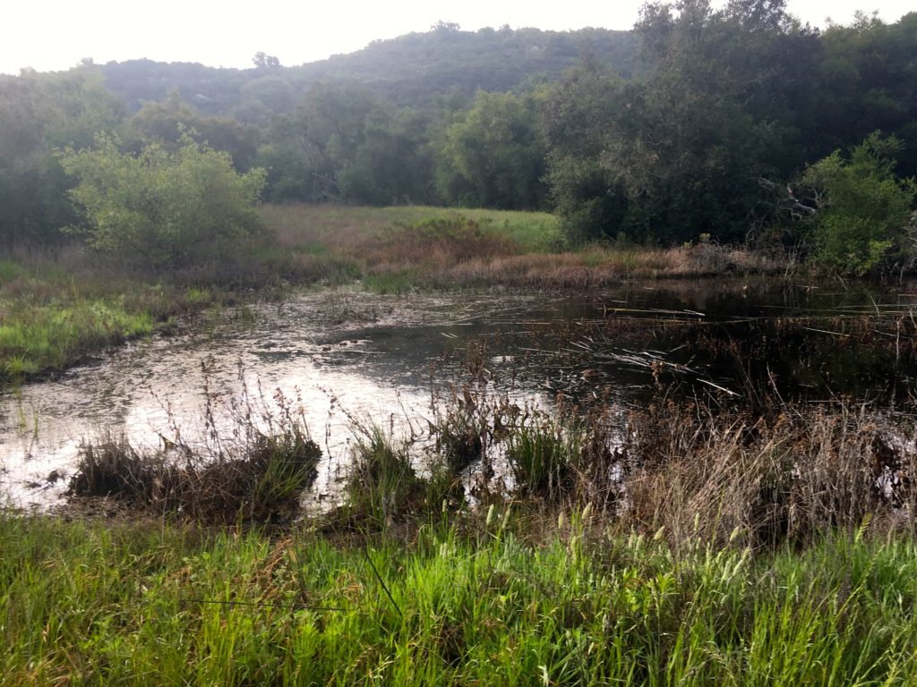
From my research, I knew I had to cross a small meadow to the base of the mountain, & from there a use trail should take me to the summit. Just past the pond, I saw the meadow and a faint path through it.
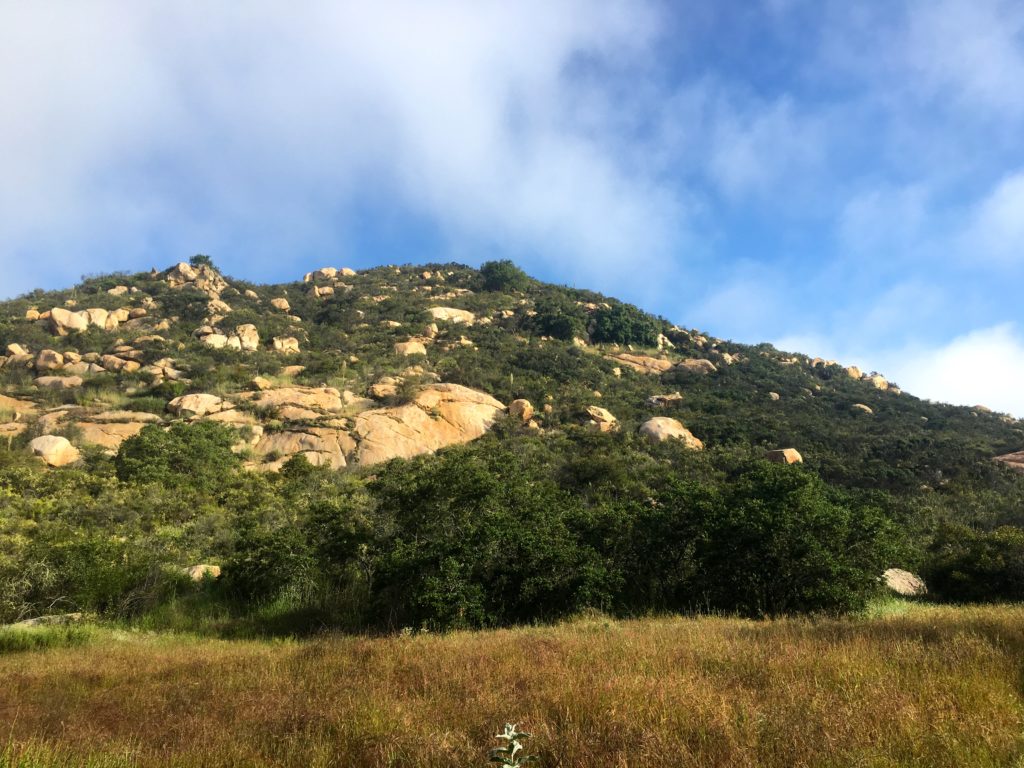
Once on the other side, I picked up the trail. It was a little overgrown, but manageable. It worked it way up the steep slope, with an occasional cairn to help guide the way. 
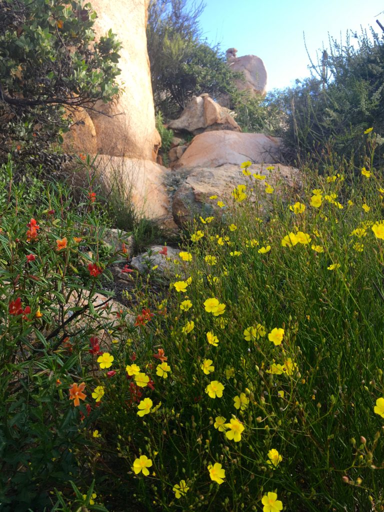
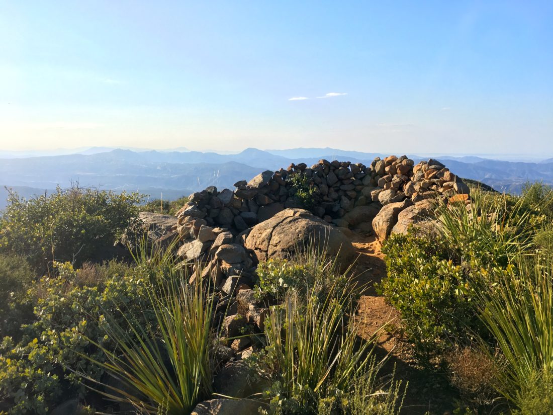
With the summit in view, some lovely wildflowers blocked my path. Rather than disturb them, I was able to move around them. Once on the summit, I found the benchmark and the two reference marks. The summit had three rather large cairns that I opted to leave alone. After a short rest, I headed back down.

Back on the Engelmann Loop Trail, I continued taking it counter-clockwise. I still had yet to encounter another person on the trail. 

The trail’s beauty continued to impress me. I could see why Scott Turner, author of Afoot and Afield in San Diego, loves the trail. As I came up to the junction with the Bobcat Trail, I had a decision to make—take it or stay on the Engelmann Loop. I opted to stay on the loop.

Soon, I passed my first pair of hikers. Thankfully the trail was wide as they did not have masks. By the time I finally reached my car I passed 5 other hikers and two mountain bikers, all without masks. Just glad the trail was wide. All told I covered 4.94 miles in 2:35, with over 1,033 feet of elevation gain.


Buy Me a Coffee at ko-fi.com

I am an avid peak bagger, sometimes backpacker, and former sea kayaker living in San Diego. In 2019, I became the third person to complete the San Diego 100 Peak Challenge. Not stopping with that accomplishment, I set my sights on the harder San Diego Sierra Club 100 Peak list, which I completed in 2021. In addition, I have conquered several Six-Pack of Peaks challenges (SoCal, San Diego, Central Coast, and both the Arizona-Winter and Arizona-Summer). Beyond attempting the San Diego Sierra Club 100 Peak list a second time, I am looking forward to exploring new summits and new adventures across the southwest. 
Van Dam Peak

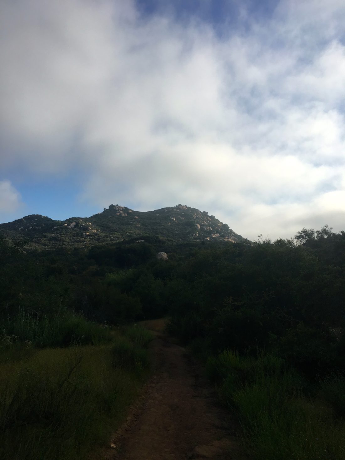
I decided to get some early morning hiking in before sitting through a morning of online meetings. Figured I should finally summit the other two peaks around Van Dam. I decided to start up from the Savannah trailhead. Susie Kara joined me in a socially distant manner. That is, as always I was behind her as she led the way 😉

The start of the trail took us steeply up to the main ridge. A bit overgrown, and the wet plants soon made my pants wet as well. Once on the ridge, we made our way to Van Dam peak. Typically, when hikers refer to Van Dam, they are actually referring to North Van Dam (where the graffitied concrete slab is). We turned south on the Iola trail for a bit, before picking up a faint use trail that took us to the summit. There is no benchmark or even a register. A large rock was just to the west of the summit, and Susie scrambled up for her photo.

Once back on the Iola trail, we cruised to North Van Dam. Surveyed the graffiti for a bit, then continued on to the north. At the junction, we veered to the left toward our third peak of the day, Peak 1080.

We finally encountered someone on the trail at this point and passed without issue. We missed the use trail to the summit and continued along the side trail. Checking the map, we realized our error and backtracked slightly. The use trail was actually right where we encountered the other hiker.

We quickly followed it up to the top. Like the others, no marks or registers. A nice view of Black Mountain was the best it could offer. The trail continued down the west side of the peak and back onto the main trail. We followed it until it ended at Sabre Springs Parkway, then we just road hiked back to our cars. Another two peaks crossed off the ‘Near-By” list.” 


Buy Me a Coffee at ko-fi.com

I am an avid peak bagger, sometimes backpacker, and former sea kayaker living in San Diego. In 2019, I became the third person to complete the San Diego 100 Peak Challenge. Not stopping with that accomplishment, I set my sights on the harder San Diego Sierra Club 100 Peak list, which I completed in 2021. In addition, I have conquered several Six-Pack of Peaks challenges (SoCal, San Diego, Central Coast, and both the Arizona-Winter and Arizona-Summer). Beyond attempting the San Diego Sierra Club 100 Peak list a second time, I am looking forward to exploring new summits and new adventures across the southwest. 

West Sycamore

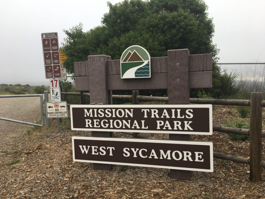
Continuing my local peaks adventure, I headed out to summit Stonebridge Hill and Sycamore Ridge. Both these bump-lets are located in the West Sycamore section of Mission Trails. 

I parked next to the closed parking lot. There were about 8 cars already there at 7:30, but it was a Saturday. I grabbed my gear, and slipped my buff on, then hit the trail.

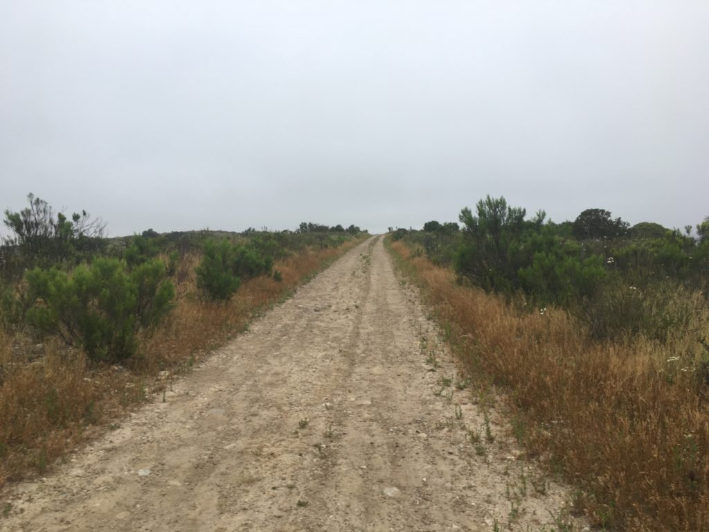
The empty trail was nice and wide, and I soon came to Stonebridge Hill. A quick jaunt through the low brush to the high point, which was marked by a small cairn.

Back in the main trail, the Sycamore Ridge was just a few minutes away. With no visible high point, I counted it as ‘summited’. Rather than simply turning back, I opted to make this a loop. At this point the trail splits, one route continues toward Goodwin Ranch, while the other follows the ridge northwestward. I picked the latter for today’s adventure.

The trail now turned to singletrack, so I would need to keep my ears open for others. I knew from the cars at the trailhead that mountain bikers were probably out enjoying the trails as well. About 5 minutes later I spotted my first one. I stepped aside and let him pass. 

I continued to work my way down the ridge, I would encounter about 10 more riders throughout the hike. I had no trouble hearing them coming and they were quickly past me.

Once at the bottom of the ridge, I continued west, the sides of the trail were dotted with flowers. Passing a grove of eucalyptus, the trail curves around a nice house tucked away. Crossing a dry stream, the trail made its way west. In the distance, I could see a group of people flying radio-controlled airplanes. I turned on to the cement road and climbed up the hill to the houses near the start of this hike. Once back up on the ridge, I walked along the street back to my car.

All told 4.7 miles with about 536 feet of elevation gain. On the way home, I stopped at O’Brien’s bakery to pick up our bread order. A nice brioche loaf for French Toast for Mother’s Day!


Buy Me a Coffee at ko-fi.com

I am an avid peak bagger, sometimes backpacker, and former sea kayaker living in San Diego. In 2019, I became the third person to complete the San Diego 100 Peak Challenge. Not stopping with that accomplishment, I set my sights on the harder San Diego Sierra Club 100 Peak list, which I completed in 2021. In addition, I have conquered several Six-Pack of Peaks challenges (SoCal, San Diego, Central Coast, and both the Arizona-Winter and Arizona-Summer). Beyond attempting the San Diego Sierra Club 100 Peak list a second time, I am looking forward to exploring new summits and new adventures across the southwest. 

Flags of Rancho Bernardo

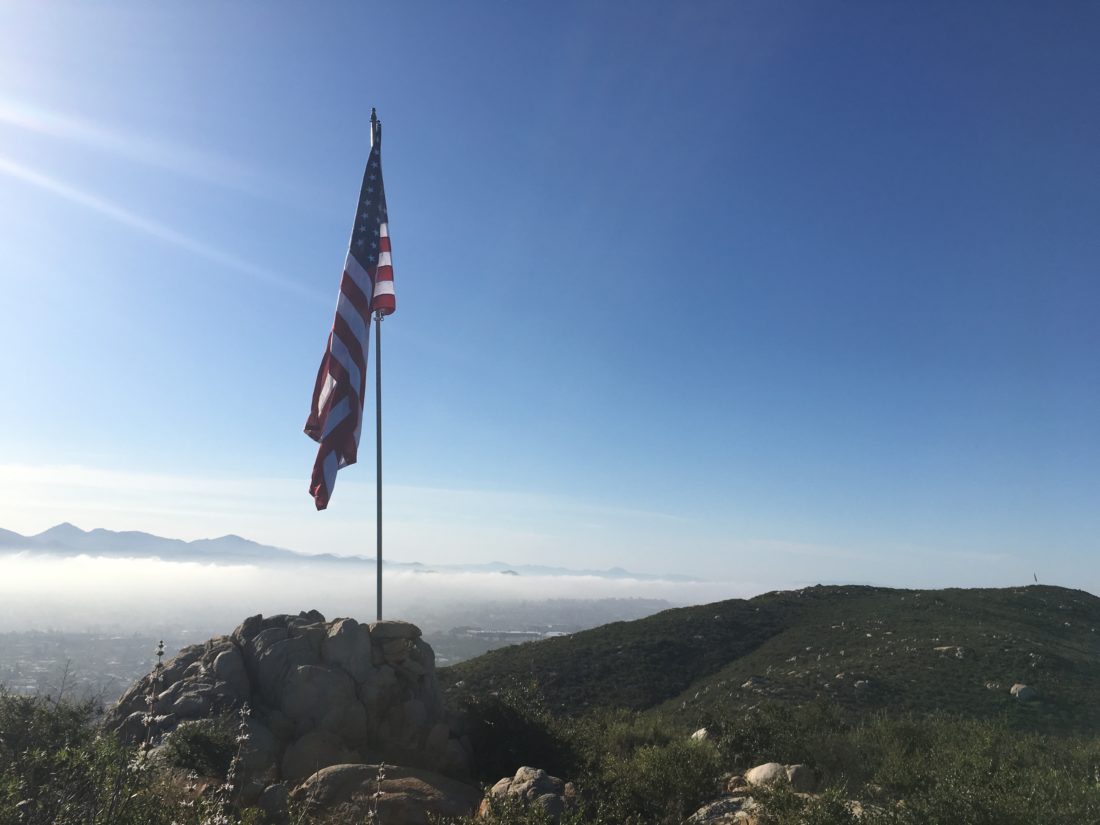
For of us who spend way tooooo much time on Peakbagger.com, one of the tabs on the mobile app is Nearby Peaks. During this period of staying local, I have been browsing this list for peaks that I have not yet summited. Today’s adventure would take me to “The Flags of RB”. You have probably seen these three flags on the peaks to the west of the 15 near Rancho Bernardo road.

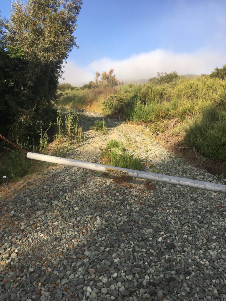
I headed out along the service road for the power lines, which would connect me with the trail to the summits. The early morning fog had burned off here, but could still be seen around me. As I made my way up the trail, the occasional sound of a dove cooing could be heard. 

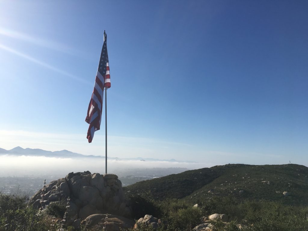
I reached the first flag atop Peak 1190. This flag was securely mounted its pole. Snapping a few pictures I headed off, as I knew we had another warm day ahead of us.

Peak 1163 from Peak 1190

Down the trail and across the saddle I went. The trail is well defined, so no issues with that. The next flag is atop Peak 1163.

Grabbing a few photos, I was off to Peak 1001 and the final flag. This one had a surprise, an empty wine bottle. I left it.

Retracing my route, I soon found myself back at the car, having done 3.15 miles. A nice way to start the day and cross off three more of those ‘near-bys’.


Buy Me a Coffee at ko-fi.com

I am an avid peak bagger, sometimes backpacker, and former sea kayaker living in San Diego. In 2019, I became the third person to complete the San Diego 100 Peak Challenge. Not stopping with that accomplishment, I set my sights on the harder San Diego Sierra Club 100 Peak list, which I completed in 2021. In addition, I have conquered several Six-Pack of Peaks challenges (SoCal, San Diego, Central Coast, and both the Arizona-Winter and Arizona-Summer). Beyond attempting the San Diego Sierra Club 100 Peak list a second time, I am looking forward to exploring new summits and new adventures across the southwest. 
Lake Hodges Overlook

Since my hiking partner backed out of our planned hike up Volcan Benchmark, I decided to stay in town and complete the 2019-2020 Coast to Crest Challenge. My final hike was to be 6+ miles out to the Lake Hodges Overlook.

The trail begins with a good steep climb for the first mile and a quarter. One of the rewards of the climb was a nice vista of the peaks to the north and east. In fact, snow-capped San G was even visible in the distance.

As I continued my climb, I could see the “Way-Up Trail” across the ravine. Just past the summit, I turned north and worked my way up and down toward the overlook.

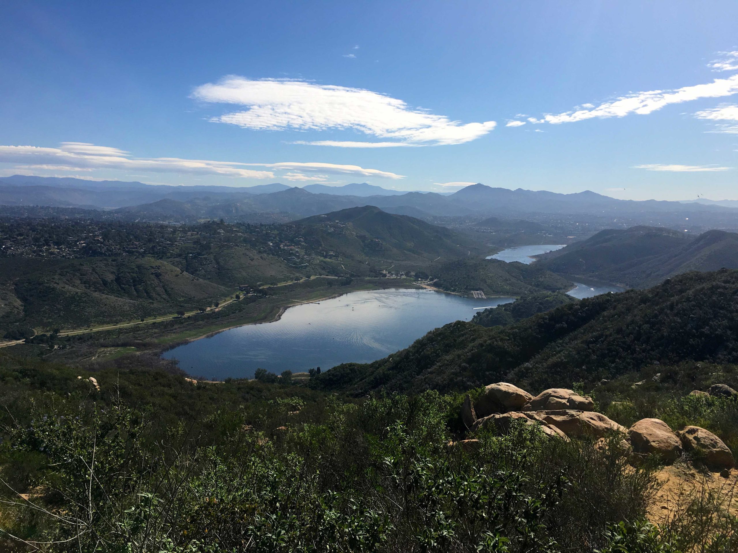
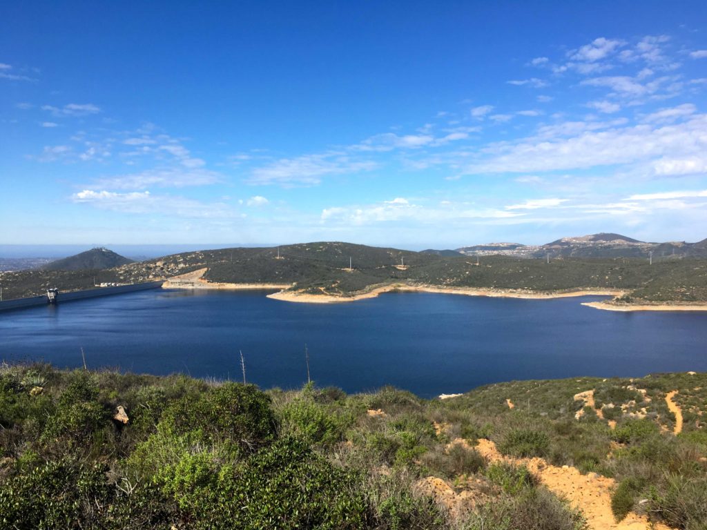
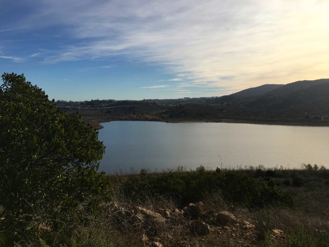
The shimmering waters of the Olivenhain reservoir stood to the west of me.

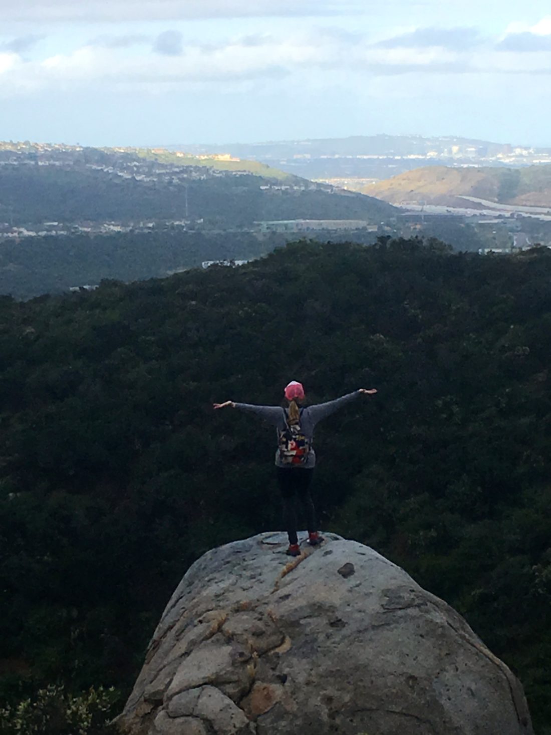
Eventually, I reached the overlook and took my required selfie. A small peak stood just a bit further to the south, so I had to go climb it. This peak is the official Lake Hodges overlook.

In fact, it had a small survey marker and a post on the summit! I snapped a few more photos and headed back. With that, my C2C Challenge was done! Can’t wait until the next one!


Buy Me a Coffee at ko-fi.com

I am an avid peak bagger, sometimes backpacker, and former sea kayaker living in San Diego. In 2019, I became the third person to complete the San Diego 100 Peak Challenge. Not stopping with that accomplishment, I set my sights on the harder San Diego Sierra Club 100 Peak list, which I completed in 2021. In addition, I have conquered several Six-Pack of Peaks challenges (SoCal, San Diego, Central Coast, and both the Arizona-Winter and Arizona-Summer). Beyond attempting the San Diego Sierra Club 100 Peak list a second time, I am looking forward to exploring new summits and new adventures across the southwest. 

Pamo Valley Trail

I decided to hike the Pamo Valley section of the Coast to Crest Trail which is just north of Ramona. I pulled into the empty Orosco Ridge Trailhead at about 7 am. It was brisk and the sun had not risen above the hills yet. I had seen this trail before, as it follows the road that is used to access Big Black Mountain. Slipping on a second layer, I headed north.

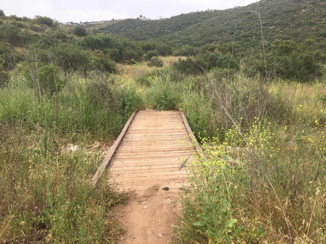
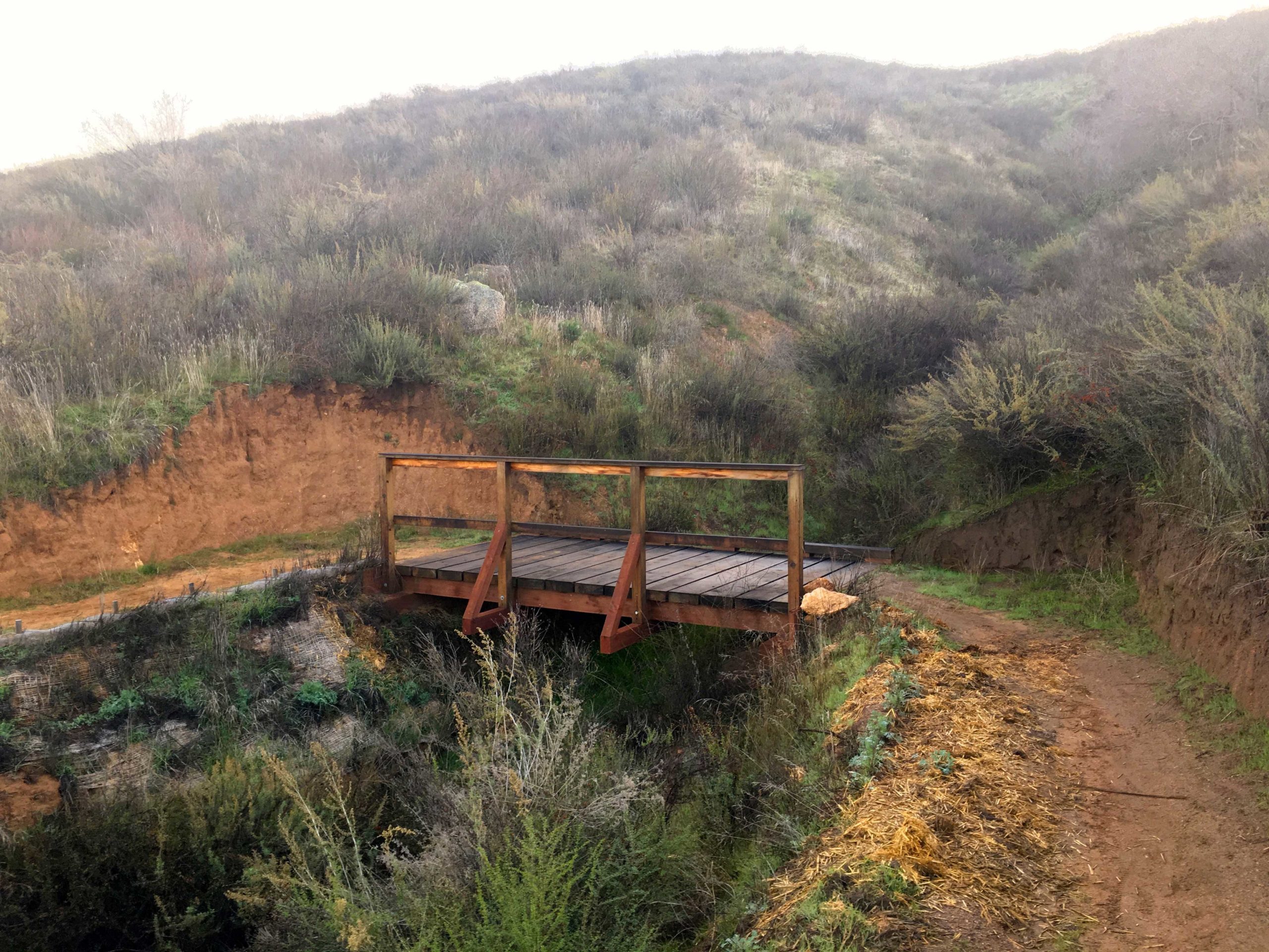
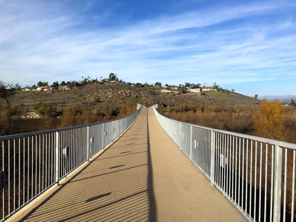
The well-marked trail works its way along the valley, occasionally crossing the road from time to time. Since this is an active cattle grazing area, sections are managed via gates. I would also cross a few bridges along the way.

Like all the hikes on the Coast to Crest Challenge, there is a designated selfie spot. For Pamo Valley it is near the end of the trail. It wasn’t until near this spot did I finally hear some cows mooing in the distance. 

I decided to keep going until I reached the Forest Road for Big Black Mountain before turning back. I thought about my dear friend Mark Kerbel as the miles ticked off, for today was his birthday. He would have enjoyed this one.

As I returned to the parking lot, a few more cars had arrived. I tossed my gear in and headed home. Just two more hikes and my third Coast to Crest Challenge will be complete.


Buy Me a Coffee at ko-fi.com

I am an avid peak bagger, sometimes backpacker, and former sea kayaker living in San Diego. In 2019, I became the third person to complete the San Diego 100 Peak Challenge. Not stopping with that accomplishment, I set my sights on the harder San Diego Sierra Club 100 Peak list, which I completed in 2021. In addition, I have conquered several Six-Pack of Peaks challenges (SoCal, San Diego, Central Coast, and both the Arizona-Winter and Arizona-Summer). Beyond attempting the San Diego Sierra Club 100 Peak list a second time, I am looking forward to exploring new summits and new adventures across the southwest. 

North Shore Lake Hodges

I decided to take advantage of the lovely weather and go complete another one of the hikes on the Coast to Crest Challenge, this time the hike along the north shore of Lake Hodges. This hike was a fast solo hike as the wife was feeling the effects of being woken up by a call at 4 am from Israel regarding my son’s birthday present.

The trail was filled with a few families enjoying their time off, along with the occasional group of mountain bikers whizzing by. Unlike the Highland Valley Trail, this one is nice and wide.

It felt odd not to make the right hand turn to begin the trail up to the summit of Bernardo Mountain, but the designated selfie spot was straight along the main trail. 

Grabbing the required photo, I headed back to the car, passing more hikers and bikers along the way. All in all, a fun 3.7 miles, and my second hike completed for this challenge. 


Buy Me a Coffee at ko-fi.com

I am an avid peak bagger, sometimes backpacker, and former sea kayaker living in San Diego. In 2019, I became the third person to complete the San Diego 100 Peak Challenge. Not stopping with that accomplishment, I set my sights on the harder San Diego Sierra Club 100 Peak list, which I completed in 2021. In addition, I have conquered several Six-Pack of Peaks challenges (SoCal, San Diego, Central Coast, and both the Arizona-Winter and Arizona-Summer). Beyond attempting the San Diego Sierra Club 100 Peak list a second time, I am looking forward to exploring new summits and new adventures across the southwest. 

Highland Valley Trail

With the 100 Peak Challenge complete (still wrapping my head around that), a simpler hike seemed to be in order. My wife is embarking on a 52 5K Challenge, so I thought the Highland Valley Trail would be a nice workout to kick off the New Year.  This trail is one of the five hikes that make up the current San Dieguito River Foundation’s Coast to Crest Challenge. We set off along the trail. The weather was almost postcard-perfect as we paralleled Highland Valley Road. 

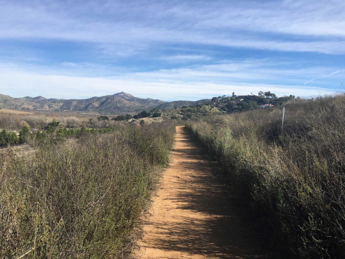
A few mountain bikers passed us as we continued on. The trail would gently rise and fall as it made it way eastward. Once it reached Sycamore Creek, the trail turned southward. Soon we reached the trail’s end and we took a well-earned rest on the picnic bench.

Once Anita was ready we began our return. A few more mountain bikers passed us along the way, but soon we spotted the I-15 and shortly thereafter the trailhead. I am really proud of my wife, she did great for her first time really hiking. Here is to many more together…


Buy Me a Coffee at ko-fi.com

I am an avid peak bagger, sometimes backpacker, and former sea kayaker living in San Diego. In 2019, I became the third person to complete the San Diego 100 Peak Challenge. Not stopping with that accomplishment, I set my sights on the harder San Diego Sierra Club 100 Peak list, which I completed in 2021. In addition, I have conquered several Six-Pack of Peaks challenges (SoCal, San Diego, Central Coast, and both the Arizona-Winter and Arizona-Summer). Beyond attempting the San Diego Sierra Club 100 Peak list a second time, I am looking forward to exploring new summits and new adventures across the southwest. 

El Cajon Mountain (aka #100)

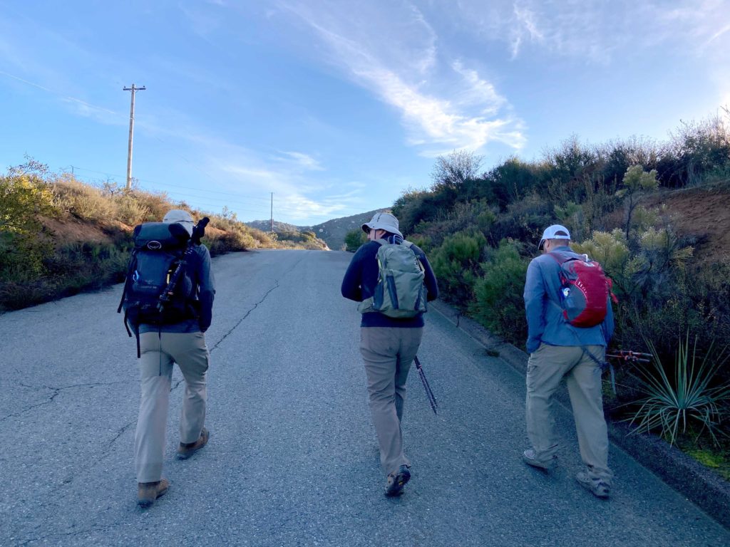
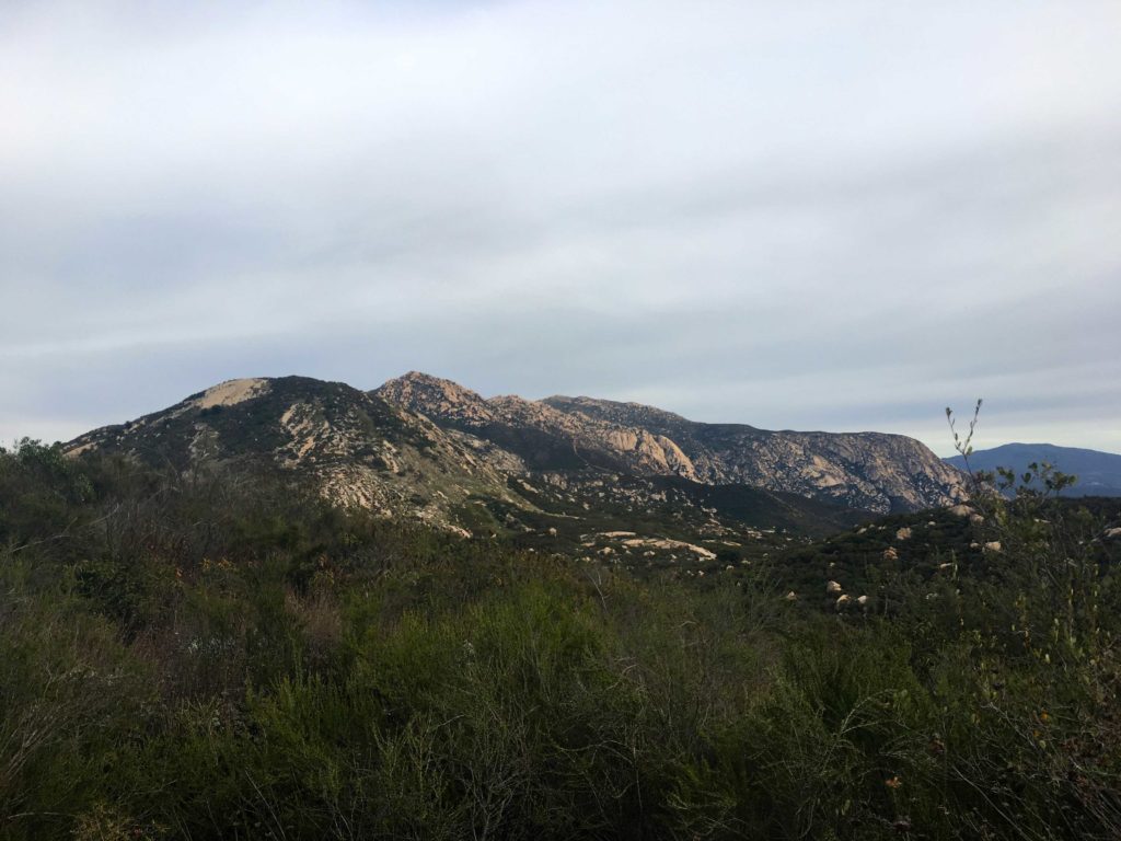
Ted Markus and I pulled off to the trailhead for El Cajon Mountain and were a bit early, so we were debating where to park when we spotted the ranger leaving Oakoasis Preserve and coming to unlock the gates to the parking lot. While we waited for Derek Loranger and Larry Edmonds to arrive, I was trying to comprehend what I was about to complete. This was to be my final peak of the 100 Peak Challenge. Over the course of this year, I had already summited 99 peaks throughout San Diego County. In about 6 miles and some 3,200 feet of elevation gain, I should be standing atop El Cajon Mountain. There have only been two other finishers of the challenge since I began in 2017. I would be the third.

Larry pulled in first. I have only interacted with him over email, but he is an accomplished peak bagger and wanted to get some training before tackling Alice Benchmark out near Villager. It is always nice to meet fellow peak-baggers in real life. Derek arrived shortly thereafter. Besides being the owner of Burger Bench in Escondido, he is the creator of the 100 Peak Challenge. It was quite an honor to have him join me for this hike.

It was a chilly 39 when we set out. El Cajon Mountain, for many their pinnacle summit, is just under 12 miles round trip. There is some serious elevation gain, both going out and coming back. We knew that we were going to have our work cut out for us. 

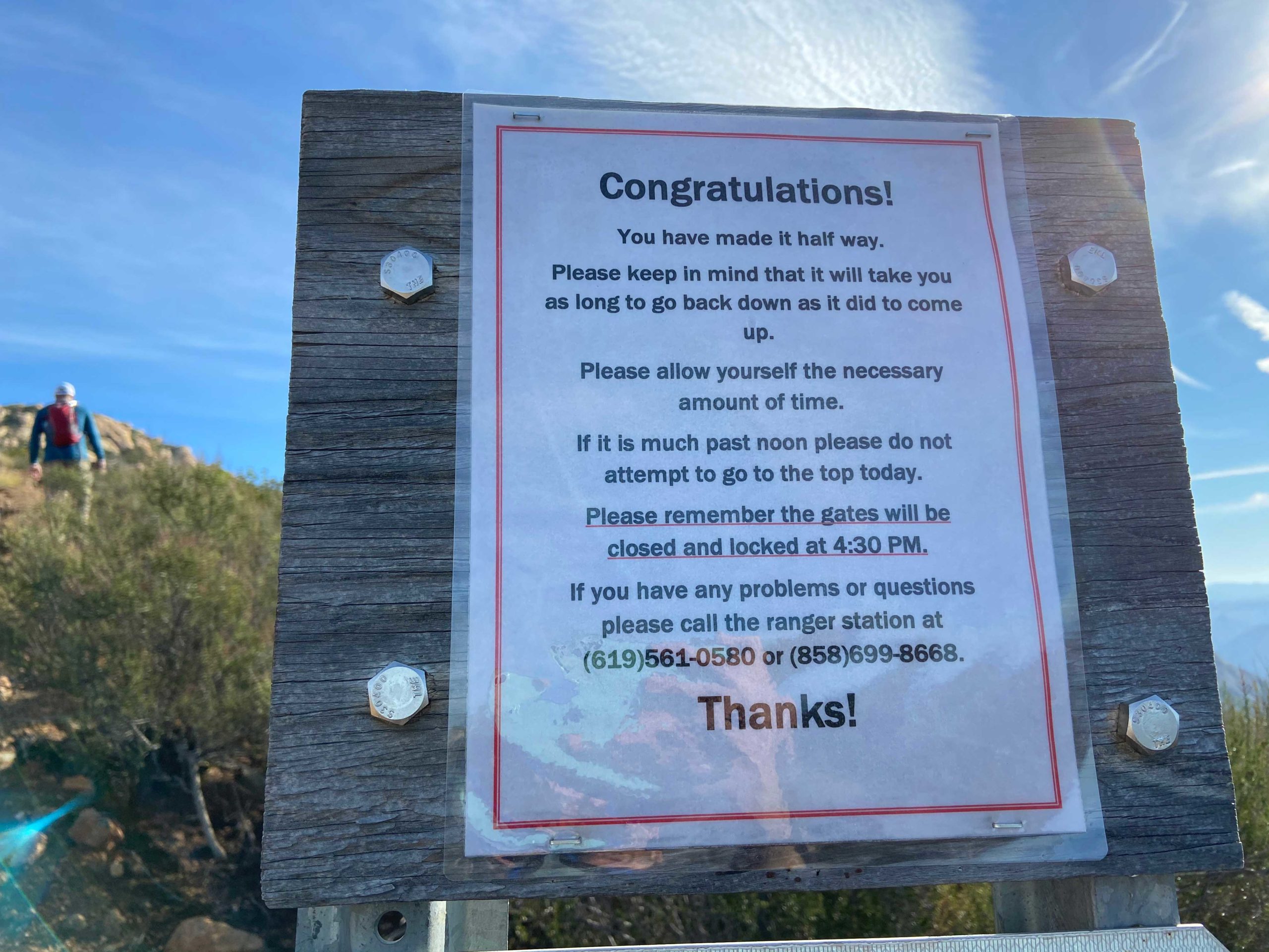
With this hike being so popular, every mile is denoted with a signpost that also shows the elevation profile as well. For some, this might be torturous to know what still lies ahead. We were quickly warming up, so we stopped and shed a layer. The trail can get quite steep at times, so having hiking poles can help. Larry recounted doing El Cajon in the rain and the ‘joy’ of coming down on the slick trail.

The trail was a little muddy in sections, and in some places either had a small stream flowing on the trail or across it. Off in the distance, we could see the snow-capped mountains around us, Mt. Baldy and San Jacinto way off to the north, Palomar, Cuyamaca, and Lagunas to our east. 

Another “fun” part of this hike is you have several ups and down to traverse before you reach the final push to the peak. My left knee had been bothering me since Indianhead, so I had it secured in a brace. For the most part, it felt ok, but some of the steeper descents gave me a little discomfort. 

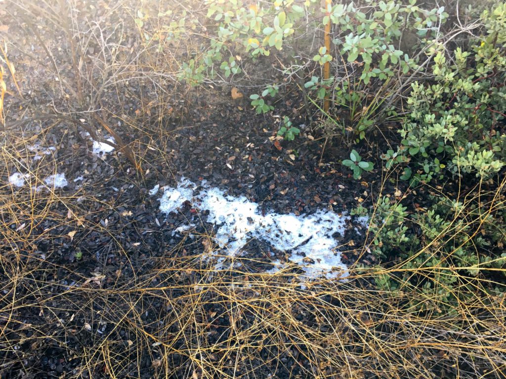
As the trail passed along the north side, a few very tiny patches of snow hid in the shade. Ted could not resist making a tiny snowball and beaning me 🙂 We began encountering hikers and runners making their way down. 

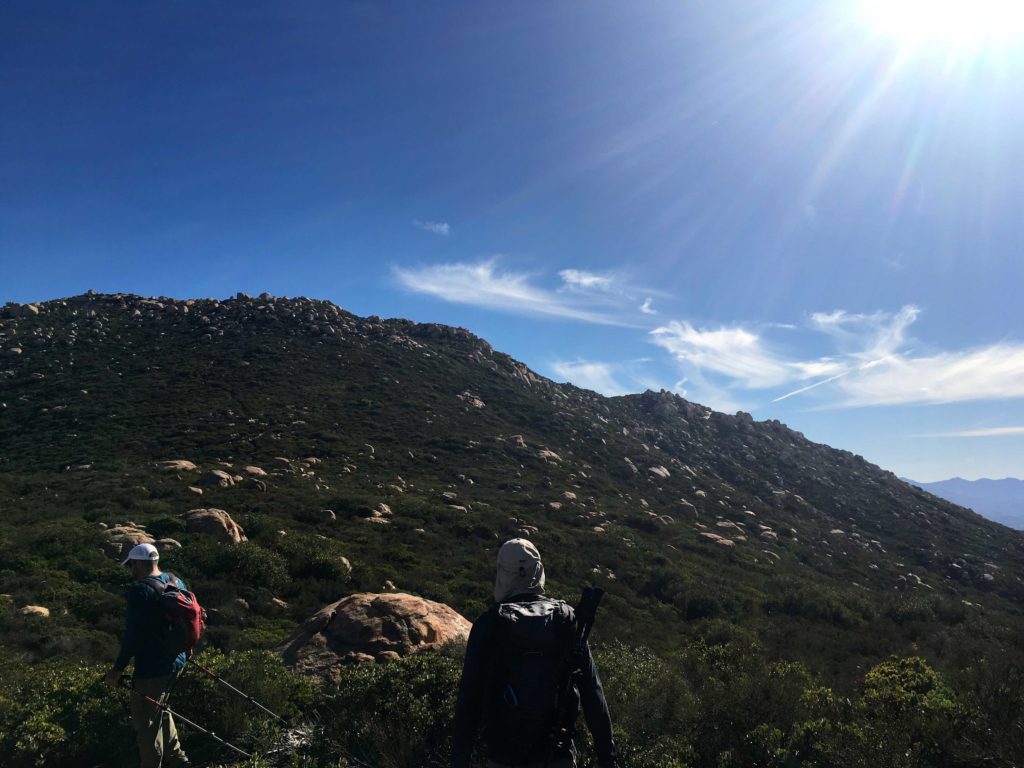
We stopped for a few short breaks but kept plugging upward. The views were something; Barona Casino was behind us, the 8 to the south, and many familiar peaks beyond it. The peaks to the east were hidden behind El Cajon for the time being.

The wide trail finally comes to an end around mile 5 and continues as single-track to the summit. It was strange to think in less than a mile, I would be there. I wasn’t sure how I would react once I saw the metal summit sign. As we neared the end, fiberglass signposts guided you through the brush. Quite a contrast from the open navigation on all those desert peaks.

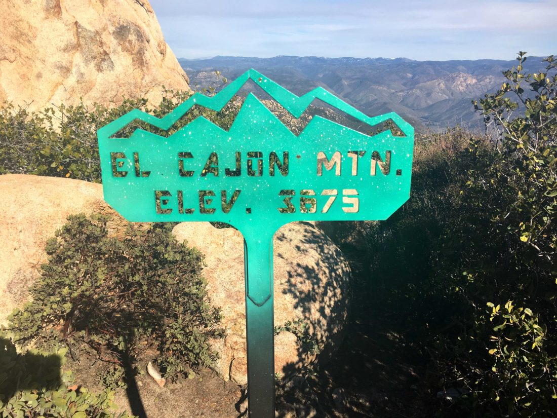
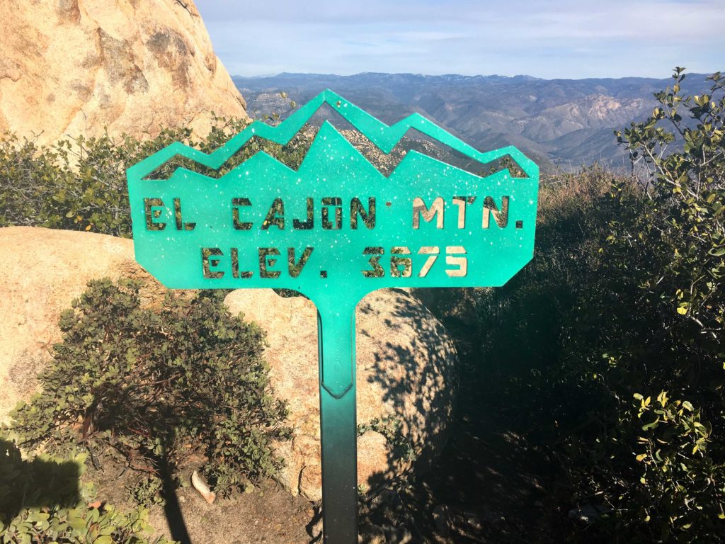
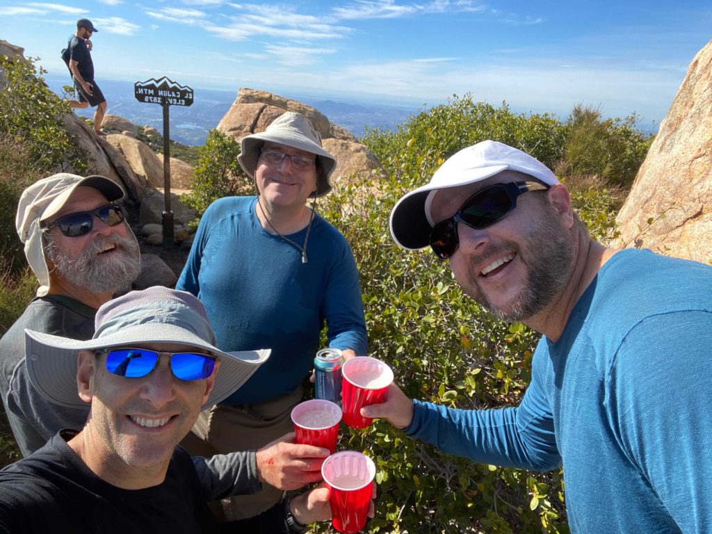
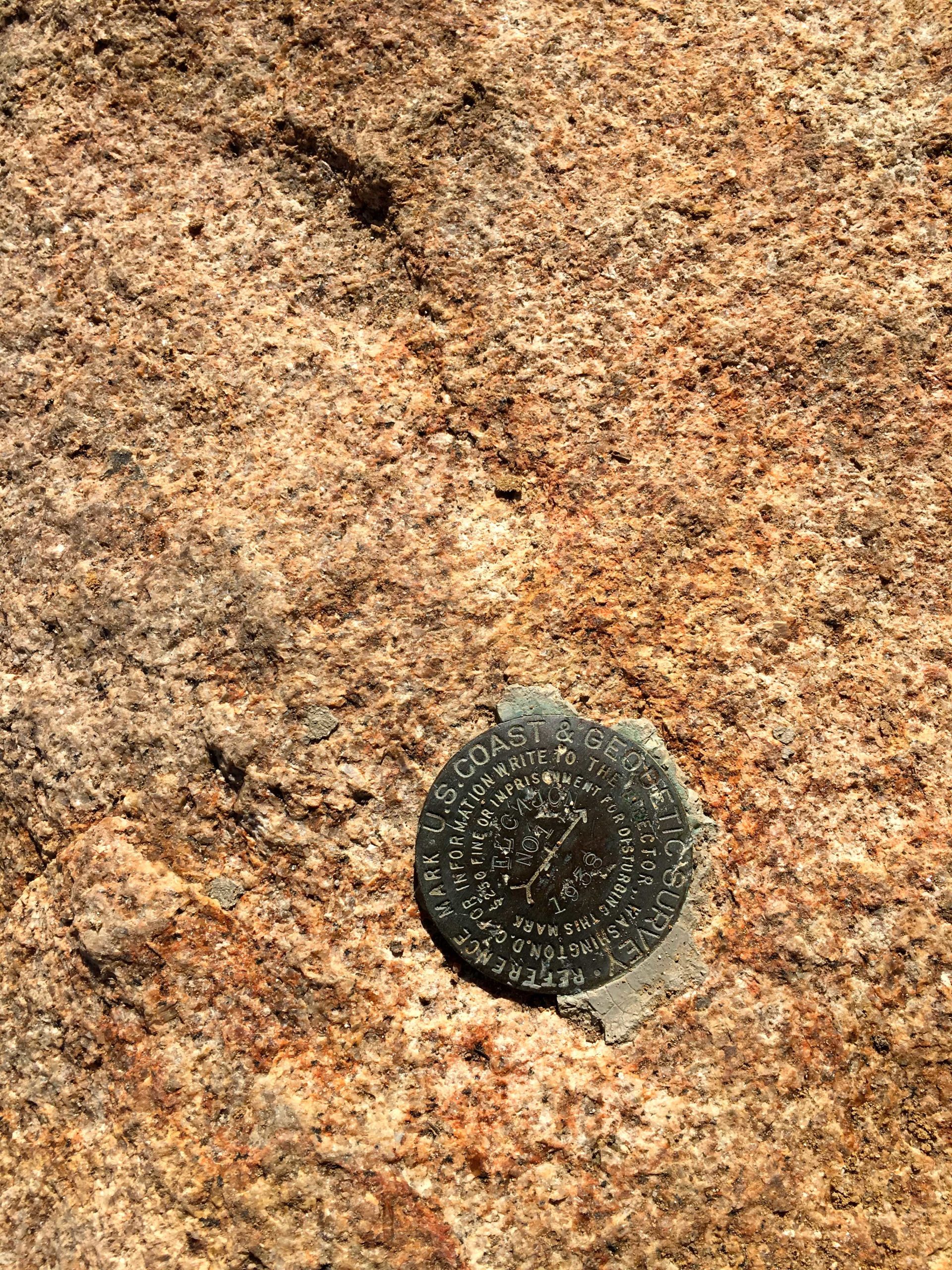
And there it was, the bright green summit sign: El Cajon 3,975 feet. I had done it!! We found a spot near one of the reference marks and shed our packs. We snapped some photos of the views, then I grabbed the 100 Peak Finisher flag I had made and took a few more. I had packed my last can of Three Sisters IPA from Mother Earth. I had been saving this can from my first attempt at this challenge. On Friday, I got a growler of Vanguard Grapefruit IPA from Wavelength Brewery to share with my companions. Ted graciously carried it for us, along with a can of HFS from Alpine Brewery. We toasted my accomplishment with these fine brews and munched on our snacks.

I went scrambling around to locate the main Benchmark and the other reference mark.

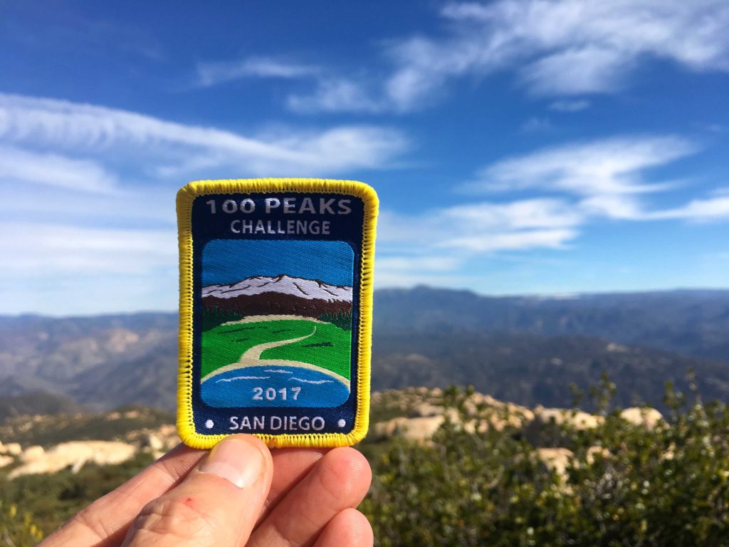
Derek formally presented me with the 100 Peak Finishers patch. This was real.

I was still trying to process what all this meant. It is going to take some time to fully understand what I had just done. I wonder if through-hikers have the same mix of emotions as I was having: joy, fulfillment, sadness, and a touch of relief.

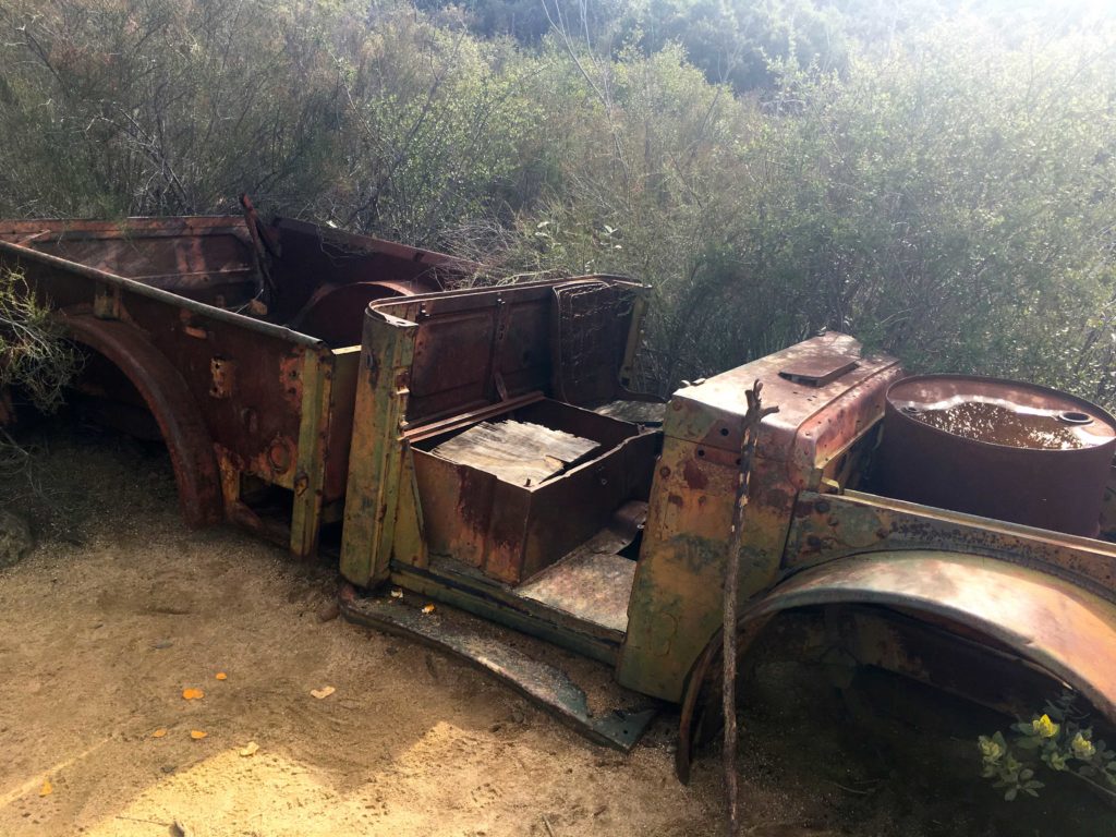
We loaded up our packs and began our descent. The skies had started to fill with some high clouds and a slight breeze picked up, as a storm was due to arrive the next day. My knee was feeling ok as we came back down the steep grade. This time we stopped at the rusted car for a few photos. 

As we made our way down, a paraglider was soaring to the southwest of us. Quite the sight to see. The miles ticked by, but those uphills certainly were felt in my legs. El Cajon is often referred to as the mountain where you go uphill both ways. Finally, we crested the last bump and the trailhead came back into view. The end of this journey was almost done. 

We crossed back into the parking lot and turned off our trackers. Mine recorded our hike as covering 11.05 miles in 5 hours and 53 minutes of active hiking. The elevation gain was 3,716 feet. El Cajon was now complete. For the answer to what’s next, you can read that here.


Buy Me a Coffee at ko-fi.com

I am an avid peak bagger, sometimes backpacker, and former sea kayaker living in San Diego. In 2019, I became the third person to complete the San Diego 100 Peak Challenge. Not stopping with that accomplishment, I set my sights on the harder San Diego Sierra Club 100 Peak list, which I completed in 2021. In addition, I have conquered several Six-Pack of Peaks challenges (SoCal, San Diego, Central Coast, and both the Arizona-Winter and Arizona-Summer). Beyond attempting the San Diego Sierra Club 100 Peak list a second time, I am looking forward to exploring new summits and new adventures across the southwest. 

Viejas Mountain

Well, the original plan for today was to drive out to Anza-Borrego and summit Indianhead. However, one of my hiking buddies had to back out and the weather was forecasting 20+ mile per hour winds with gusts up to 35 mph. Not exactly the best conditions to travel across a ridgeline to the summit. Ted and I still held out hope that the forecast might turn, so we kept to the original plan and would make a final decision in the morning.
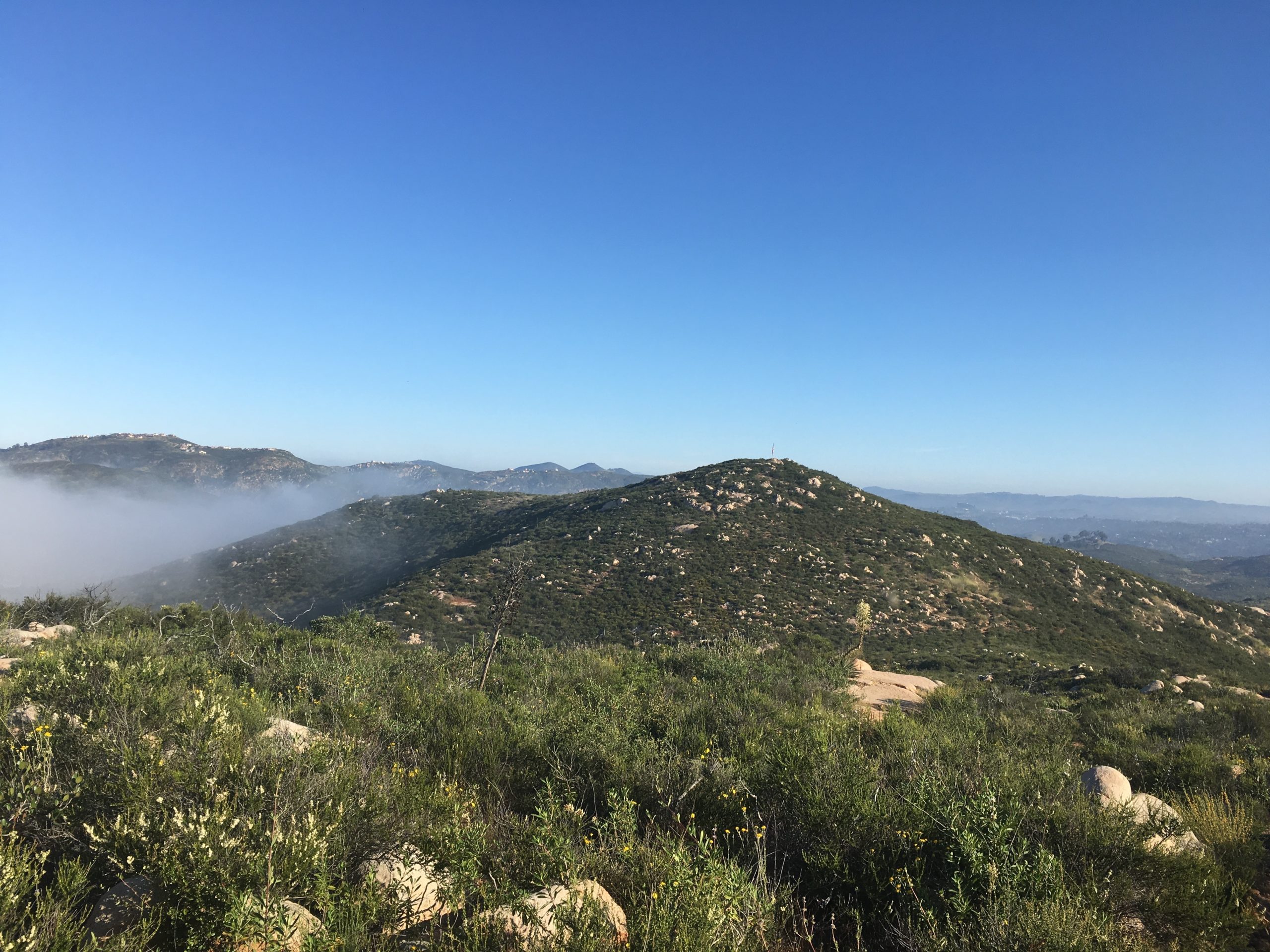
Well, the forecast held, so we went for plan B, Viejas Mountain. This was one of the other remaining peaks I needed to do. It is a short but steep peak. It appeared we got a little bit of rain overnight—another present from the system. As we drove out to Alpine, it was evident that this was going to be a cloudy hike.

Bundling up against the cold and the wind, we set off in the dark up the rocky trail. It is only about 1.5 miles to the summit, but you do gain about 1,500 feet, so it will give you a workout.
Once we reached the ridge, the wind picked up and our pants were damp from the brush along the trail. The summit was about a quarter-mile to the north. Given the conditions, we knew that we were not going to be staying long.
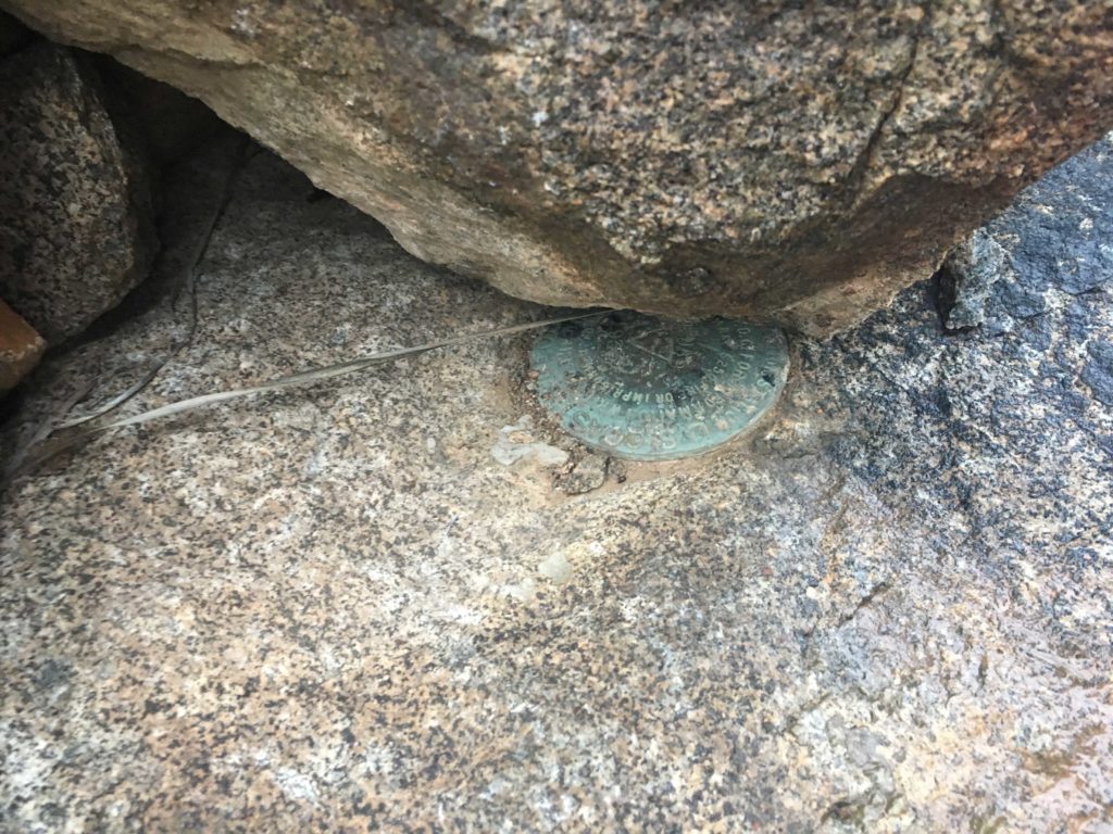
The register was full, so I did not attempt to sign it. Poking around the wind shelters, I found a reference mark. Pulling up Peakbagger, it denoted one more reference mark and the benchmark itself. Using its map, I first found the other reference mark. Using the arrows on them, I focused on locating the benchmark. There, partially covered by the rocks that make up the wind shelter was the actual benchmark!

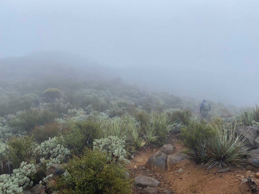
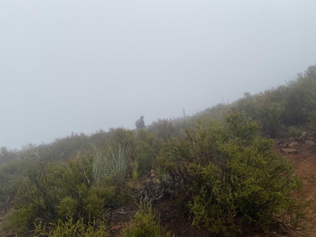
Both Ted and I were getting chilled, so we began our descent. We took our care as we made our way through the mist—no need to slip and turn an ankle. We soon found ourselves back at the car and changed into some dry clothes. Since we made great time up and back, we decided to go grab a hot breakfast in Alpine. That was peak #98 of my #100PeakChallenge!


Buy Me a Coffee at ko-fi.com

I am an avid peak bagger, sometimes backpacker, and former sea kayaker living in San Diego. In 2019, I became the third person to complete the San Diego 100 Peak Challenge. Not stopping with that accomplishment, I set my sights on the harder San Diego Sierra Club 100 Peak list, which I completed in 2021. In addition, I have conquered several Six-Pack of Peaks challenges (SoCal, San Diego, Central Coast, and both the Arizona-Winter and Arizona-Summer). Beyond attempting the San Diego Sierra Club 100 Peak list a second time, I am looking forward to exploring new summits and new adventures across the southwest.