North Fortuna

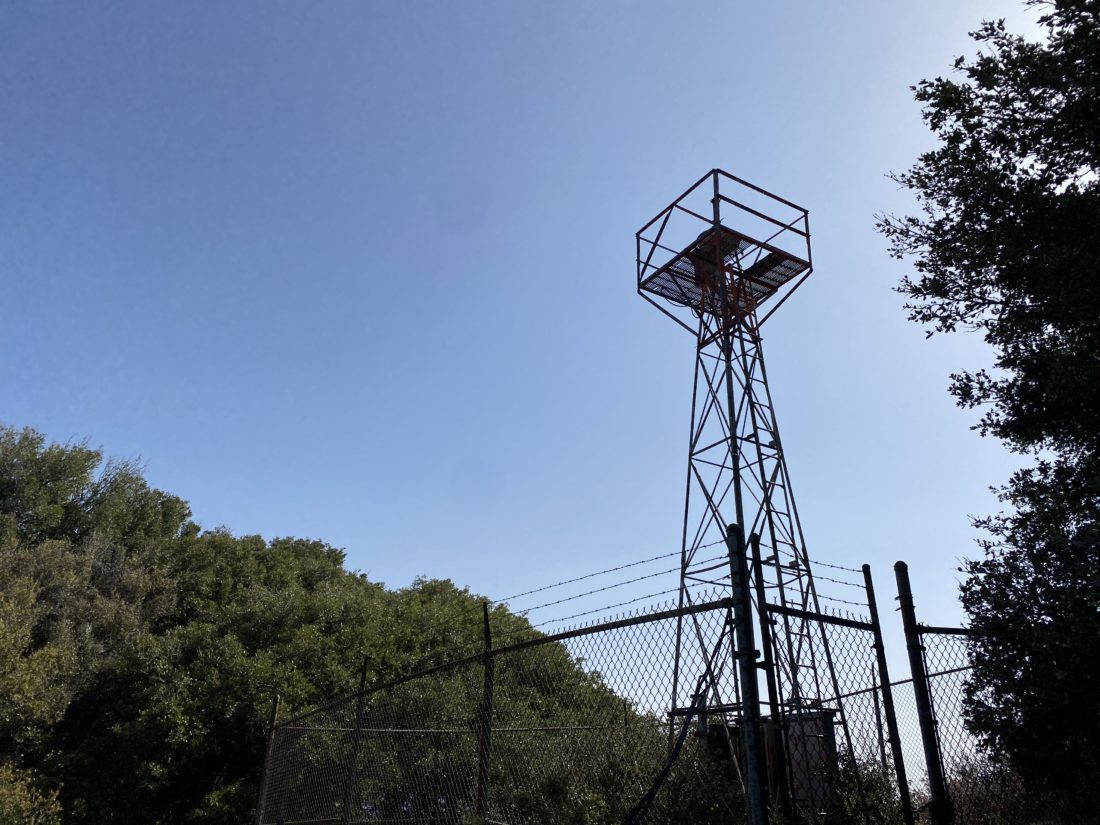
I needed to think through a presentation I was making the next day, so I figured a nice hike would help me focus. Since I needed some photos for some trail guides I am writing, I decided to hike up the Fortunas in Mission Trails. I wanted some better photos of the “infamous” South Fortuna stairs and the new summit marker atop North Fortuna. As I neared the parking lot, I remembered there was some construction happening on this side of the park, courtesy of the San Diego Water District. I looked over the map and realized that I wasn’t going to have an easy route to get to the South Fortuna stairs, but I still had a route to North Fortuna. 

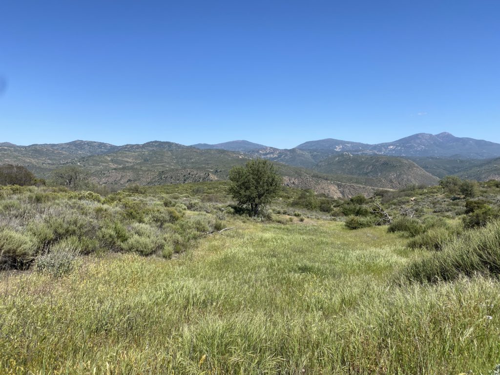
I crossed the bridge into the park and headed north toward the Rim Trail. Clear signs warned me about various closures and detours. Cruising along the trail, I could see two work areas, to the northwest and southeast. The work was supposed to be done in early 2022, but construction is rarely on time. I reached four corners and had a decision to make – I could take the Suycott Valley Alternative Trail to connect to the Fortuna Saddle Trail and then the summit, or I could take the Shepherd Ridge Trail to approach the summit from the north side. Since I had never done North Fortuna from the north side, my choice was an easy one. 

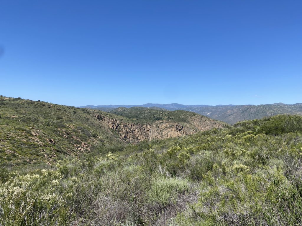
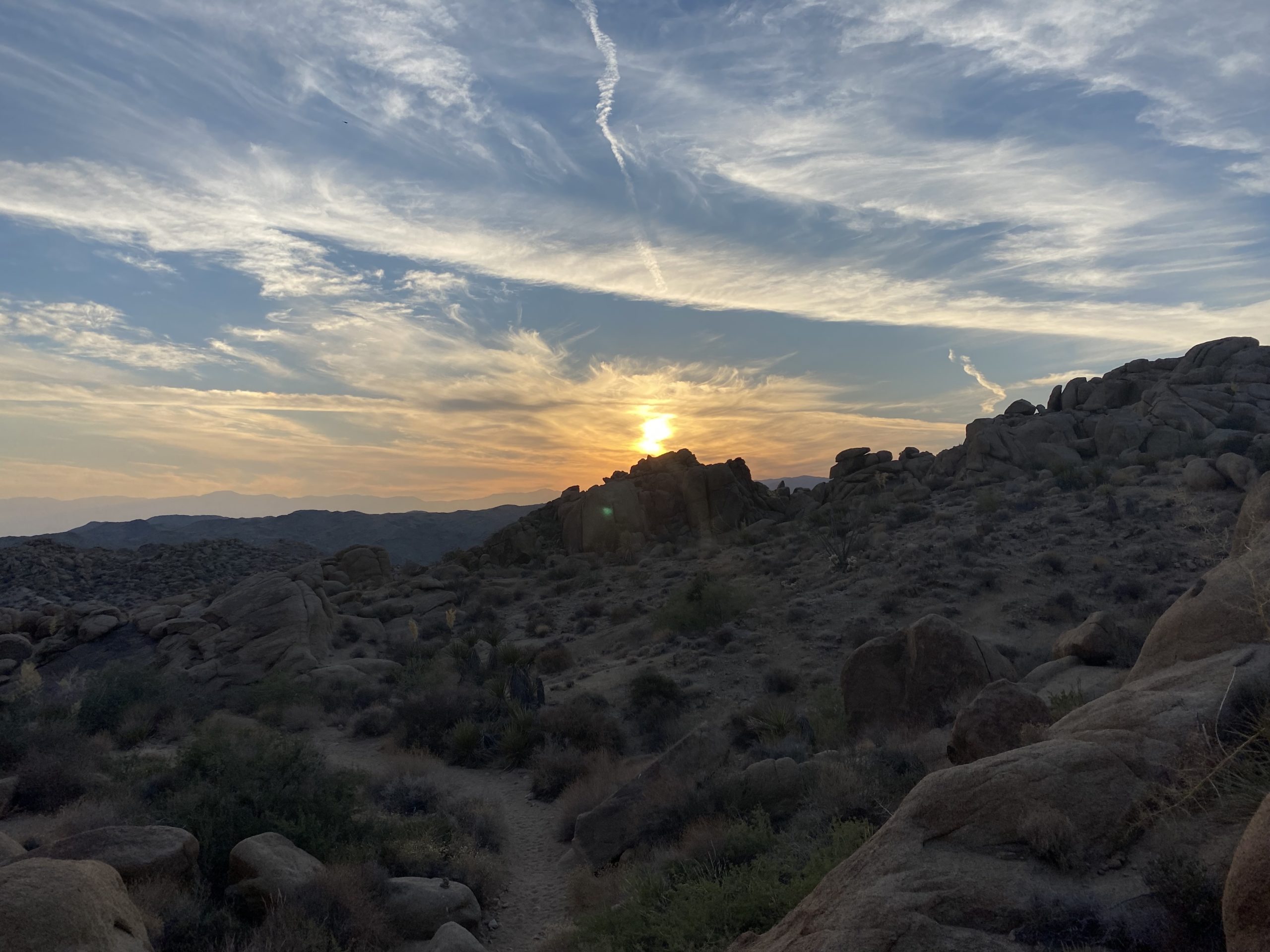
I had passed a few folks on the trail, but as it was about 4 pm on a Thursday, I did not expect to see many. The trail took me northward, getting closer to the northern edge of the park and the 52 freeway. The evening commute was starting to pick up. The trail connects briefly with the Perimeter Trail before turning southward to begin the real climb up North Fortuna.

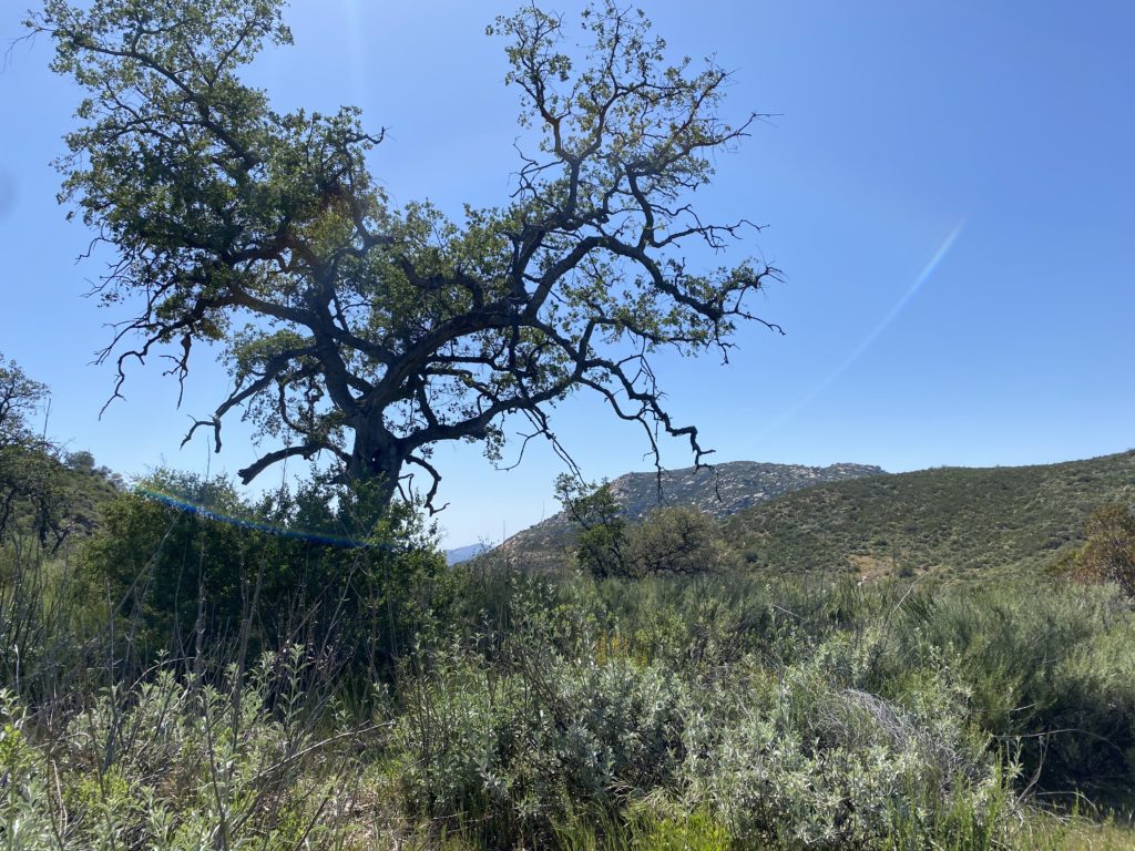
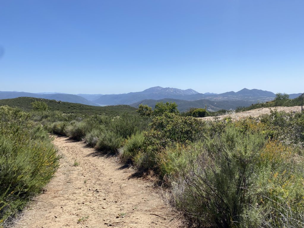
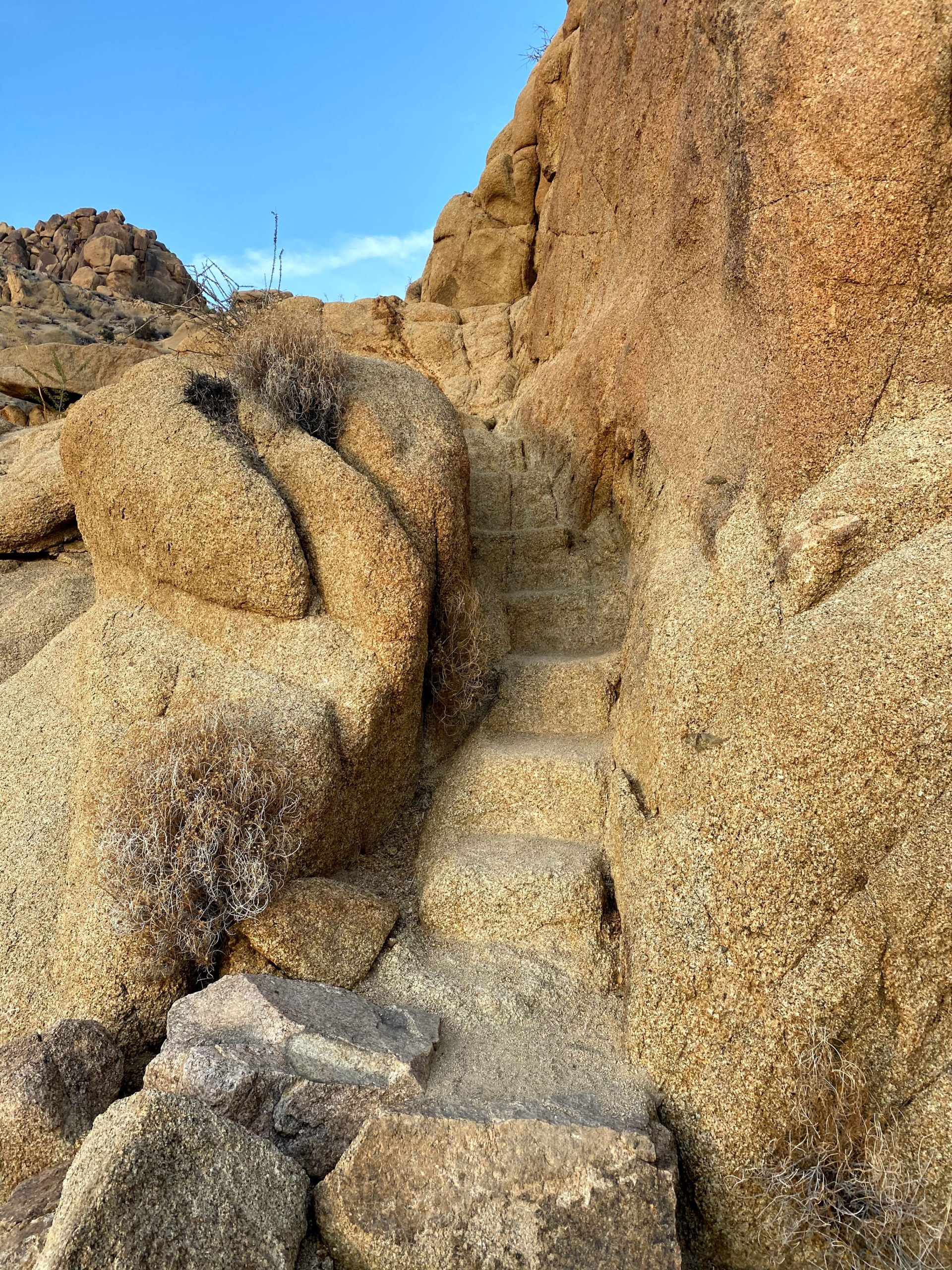
While it wasn’t the South Fortuna Stairs, I did have a small section of stairs to assist me. After crossing a false summit, the real summit was just a short bit away. I snapped my photos and took a short break before continuing southward toward the saddle. 

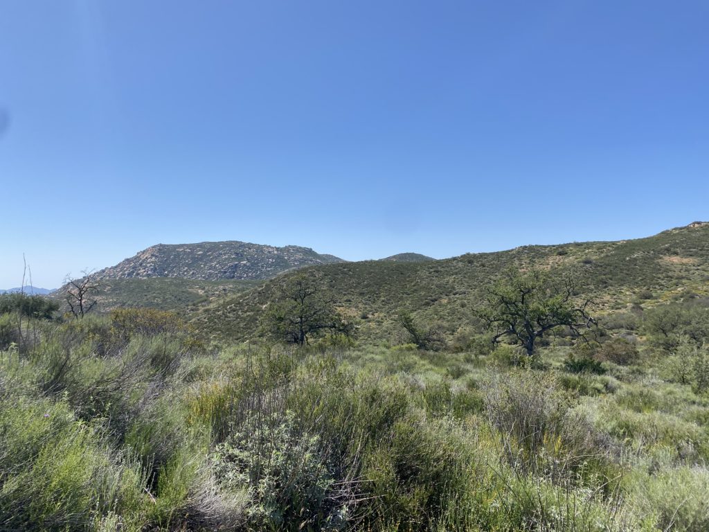
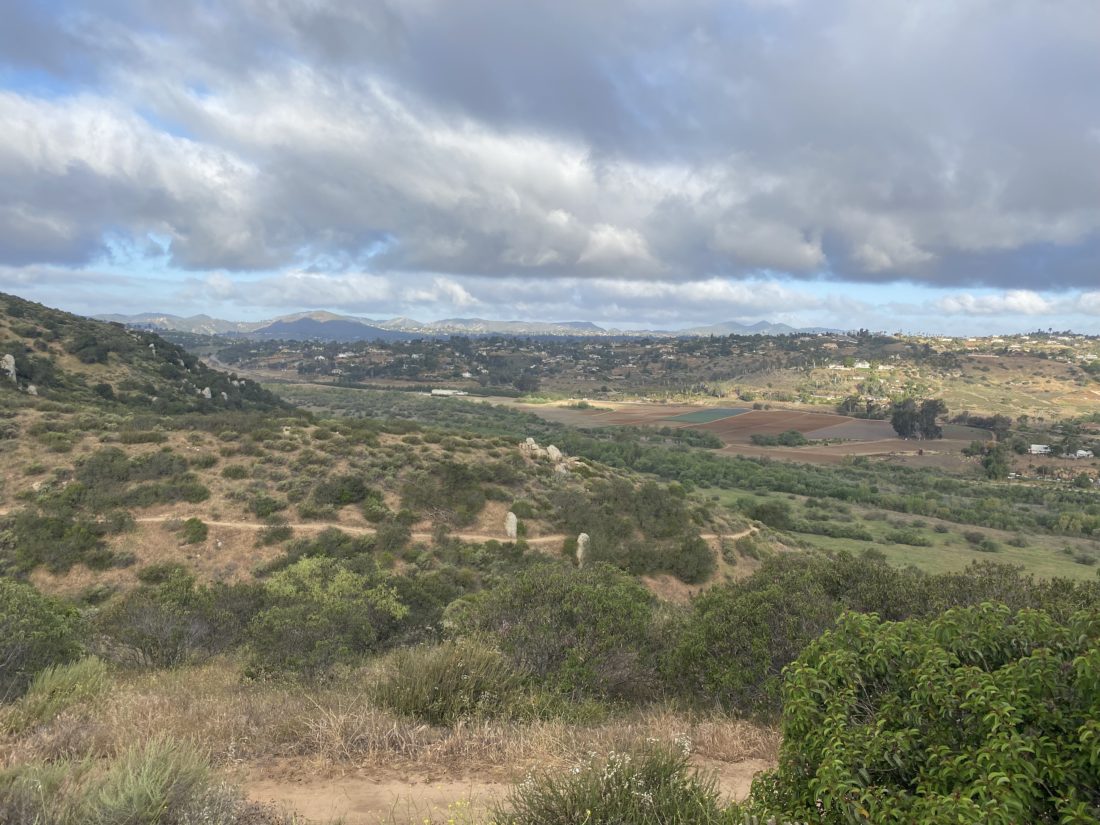
I took the saddle back down to the west until it reached Suycott Valley Alternative Trail. Normally, I would stay on this trail, but the construction closure prevented that. As I made my way on the trail back toward Four Corners, it was clear that this trail was heavily favored by mountain bikers, and was glad I was here on a weekday. I would not recommend this trail on a weekend. Once back at Four Corners, I retraced my route to the car. Just before I started the short climb from Four Corners, two mountain bikers came screaming down the wide trail, reaffirming my thoughts about weekend use. As I made my way back to the car, I passed several more mountain bikers. Back at my car, I saw that both sides of the street were now packed. This route was 5.75 miles with 1,112 feet of elevation gain.  


Buy Me a Coffee at ko-fi.com

I am an avid peak bagger, sometimes backpacker, and former sea kayaker living in San Diego. I am the co-author of Urban Trails: San Diego, coming in Spring 2026!

In 2019, I became the third person to complete the San Diego 100 Peak Challenge. Not stopping with that accomplishment, I set my sights on the harder San Diego Sierra Club 100 Peak list, which I completed in 2021. In addition, I have conquered several Six-Pack of Peaks challenges (SoCal, San Diego, Central Coast, and both the Arizona-Winter and Arizona-Summer).

I am looking forward to exploring new summits and new adventures across the southwest. 

Corte Madera

I had hoped to squeeze in one more desert peak, but with my daughter leaving for DC for the summer, I could not afford the time. Instead, I opted to knock one of the San Diego Six-Pack of Peaks off my list. Corte Madera would fit the bill nicely–not too long and not too far of a drive to the trailhead. I pulled into an empty parking area and hung my Adventure Pass from the mirror. While the car’s thermometer read 37, it did not feel that cold, plus I knew both I and the day would be warming up.

I grabbed my new trekking poles, as I had worn the tips down on my previous pair, and set off. The route to the summit began along a nicely shaded road for about 1/2 mile before I reached the Espinoza Trail. Now I would begin climbing up toward the saddle, with some nice wildflowers scattered along the trail. Once at the saddle, I got my first view of the impressive rock face of Corte Madera. A warning sign had been posted for anyone continuing on the Espinoza trail, to be careful from the fire damage. Off to my left stood the Los Pinos lookout tower and to my right was the road I would follow for a short while.

Another sign pointed to the trail branching off to the left from the road. This portion of the hike would have the more “challenging “ portion of the hike. The gentle climb up the Espinoza would be replaced with a steeper and rockier one. In addition, the overgrowth was also heavier through here as well. 

I passed by a jacket and bag off to the side, which I assume were left by a migrant. After climbing down the rocky section, the trail would now roller coaster toward the summit. My left calf was starting to tighten, so I slowed my pace to give it some relief. I recognized that I was almost at the summit and would have a chance to give it a rest.

As expected, I had the summit to myself. A new wooden sign had been left next to the register. I signed in and snapped my photos, then found a spot to enjoy my orange and take a breather.

I pulled my pack on and began to retrace my route. Not long after leaving the summit, I met my first other hiker. He looked a little lost, as he was staring intently at his phone. I gave him some guidance for the last bit. It turns out he started at Corral Canyon. We each went our separate ways. As I neared that one climbing section, I met the second set of hikers. They recognized me from my blog, and we chatted a bit before continuing. I would encounter another 10 or so by the time I reached the saddle.

Once back on the road to the Espinoza trail, a truck passed me, as did a motorcycle. I had wondered about driving back here for some car camping. Given that the truck looked almost stock, I could probably get my Subaru back here for an evening.

As I made my way down the Espinoza trail, I could feel the day getting warmer and my calf getting tighter. I knew I didn’t have that much further, plus the last 1/2 mile would have some shade and was mostly flat. The car said it was in the low 80s and I would believe it. This time my tracker logged me traveling 7.0 miles in 3:41 with an elevation gain of 1,633 feet.


Buy Me a Coffee at ko-fi.com

I am an avid peak bagger, sometimes backpacker, and former sea kayaker living in San Diego. I am the co-author of Urban Trails: San Diego, coming in Spring 2026!

In 2019, I became the third person to complete the San Diego 100 Peak Challenge. Not stopping with that accomplishment, I set my sights on the harder San Diego Sierra Club 100 Peak list, which I completed in 2021. In addition, I have conquered several Six-Pack of Peaks challenges (SoCal, San Diego, Central Coast, and both the Arizona-Winter and Arizona-Summer).

I am looking forward to exploring new summits and new adventures across the southwest. 

Volcan Mountain (via 5 Oaks Trail)

After the hard climb up Sunset Mountain yesterday, I was looking for something a bit tamer. So, I decided to continue working on the San Diego Six-Pack of Peaks list, and Volcan Benchmark seemed like the perfect fit. Plus, I might try to get in another WBC hike afterward, along with a stop at Calico Cidery as well. Susie was fine with this, and we set off together.

We had a slightly later start as we did not need to worry about temperatures for this hike. There were about 8 cars parked along Farmers Road when we arrived. We grabbed our gear and set off. This would be my 5th time up, and Susie has lost track of how many times she had been to the summit. After using the porta-potties, we began hiking up the familiar road. Once we reached the 5 Oaks side trail, we switched to it. We caught a couple of other hikers as we cruised up the shaded trail. 

Once we rejoined the road, we felt the infamous wind that usually blows across this ridge. We continued chatting as we came to the old air beacon that sits on the summit. Susie snapped my photo for the challenge. Off to the southwest, a nice field of poppies beckoned to be photographed. 

After snapping our photos, we headed back down, this time staying on the main road for the entire descent. We passed several folks making their way up, and one pair of hikers also descending. Once back at the car we noted that we both might have set PRs for this peak. I know I did, and Susie was pretty sure as well. Since the Santa Ysabel East trail is just a few minutes down the road, we opted to drive down and add in some more miles. For Volcan, I logged us tracking 5.2 miles in 1:59 and gaining 1,241 feet.


Buy Me a Coffee at ko-fi.com

I am an avid peak bagger, sometimes backpacker, and former sea kayaker living in San Diego. I am the co-author of Urban Trails: San Diego, coming in Spring 2026!

In 2019, I became the third person to complete the San Diego 100 Peak Challenge. Not stopping with that accomplishment, I set my sights on the harder San Diego Sierra Club 100 Peak list, which I completed in 2021. In addition, I have conquered several Six-Pack of Peaks challenges (SoCal, San Diego, Central Coast, and both the Arizona-Winter and Arizona-Summer).

I am looking forward to exploring new summits and new adventures across the southwest. 

West Side Road

The original plan was to meet up with someone I used to admin with on the San Diego Hiking Society Facebook group. I left that role a few months back and wanted to catch up with her. Unfortunately, work got in the way and she had to cancel. I had never done the West Side Road Trail and still wanted to cross it off my list. I drove out through Ramona and toward San Diego Estates. Mt. Gower loomed over me to my north as I made my way to the trailhead. I parked and grabbed my gear. The trail begins along a paved road next to a house. I crossed over the road-closed gate and continued making my way up the road. Some bits of graffiti lined the road. The paved road became dirt as it still climbed up. I was rewarded for this effort with some nice views of the mountains. I could see Cuyamaca, Middle Peak, Viejas, and Volcan with ease. With some care, I could spy Eagle Peak and Peak 1546.

The road eventually turned northward and I could see more of Gower off to my left. While I had passed another hiker just as I began, I encountered one more out enjoying the trail. We chatted for a bit. He moved down from Riverside and was getting to know the area. We said our goodbyes, as he still had a ways to go to return to his starting point.

Eventually, the road came to an end, and the trail turned into a single track before coming to a very clear No Trespassing sign. I snapped a few photos and retraced my route. Soon I found myself back on the pavement and nearing my car. I could see a couple of miles away from the trailhead to Cedar Creek falls. That is one hike I have never done. In part don’t want to deal with the crowds and when it is flowing it usually means it is desert hiking season. I logged this hike at 4.5 miles and I covered it in 1:39 (including the time spent chatting). There were almost 848 feet of gain, so I did get a nice workout from it.


Buy Me a Coffee at ko-fi.com

I am an avid peak bagger, sometimes backpacker, and former sea kayaker living in San Diego. I am the co-author of Urban Trails: San Diego, coming in Spring 2026!

In 2019, I became the third person to complete the San Diego 100 Peak Challenge. Not stopping with that accomplishment, I set my sights on the harder San Diego Sierra Club 100 Peak list, which I completed in 2021. In addition, I have conquered several Six-Pack of Peaks challenges (SoCal, San Diego, Central Coast, and both the Arizona-Winter and Arizona-Summer).

I am looking forward to exploring new summits and new adventures across the southwest. 

Raptor Ridge Trail

As I continue to work toward the 25 hikes goal and the patch, I wanted to grab a hike before work. I decided to revisit another one of the hikes that I had done for one of the Coast to Crest Challenges, Raptor Ridge.

Parking at the trailhead, I grabbed my gear and set off. I had my headphones in my pack just in case I was not back in time to dial into my first meeting of the day. I cruised along the nice flat trail for about 1.5 miles before it would begin the climb up to the viewpoint. Once there I snapped my photo with a blank sheet of paper. I forgot my sign and would have to paste it in later. After taking in the views of San Pasqual Valley, I retraced my route. Met three others out enjoying the trail with their dog. Made it back to the car just before my meeting, I tossed in my gear, called in, and began the drive home. The hike was 4.6 miles in 1:35 and had 362 feet of elevation gain.


Buy Me a Coffee at ko-fi.com

I am an avid peak bagger, sometimes backpacker, and former sea kayaker living in San Diego. I am the co-author of Urban Trails: San Diego, coming in Spring 2026!

In 2019, I became the third person to complete the San Diego 100 Peak Challenge. Not stopping with that accomplishment, I set my sights on the harder San Diego Sierra Club 100 Peak list, which I completed in 2021. In addition, I have conquered several Six-Pack of Peaks challenges (SoCal, San Diego, Central Coast, and both the Arizona-Winter and Arizona-Summer).

I am looking forward to exploring new summits and new adventures across the southwest. 

Twin Peaks

Having mostly recovered from hiking the Trans-Catalina Trail, it was time to set my focus back on some of the ongoing challenges I am working on. So, I scanned the remaining hikes on the Sierra Club NCG 50th Anniversary 50 Hike Challenge list and settled on hiking up Twin Peaks again.

I parked near Silverset Park, grabbed my gear, and set off. I followed the same route as I had done twice before. As I neared the summit, another hiker was making his way down. So much for checking the “Only Party On The Mountain” box on peakbagger.com. I got to the summit and snapped my photos. It seems the summit sign disease has arrived here as well. Leave No Trace…

I really did not linger and opted to return back down following the same route this time. Previously I had made it a loop but wanted to get home and start grilling my birthday dinner. Just 10 more hikes and I can get the patch. I am a sucker for a patch…


Buy Me a Coffee at ko-fi.com

I am an avid peak bagger, sometimes backpacker, and former sea kayaker living in San Diego. I am the co-author of Urban Trails: San Diego, coming in Spring 2026!

In 2019, I became the third person to complete the San Diego 100 Peak Challenge. Not stopping with that accomplishment, I set my sights on the harder San Diego Sierra Club 100 Peak list, which I completed in 2021. In addition, I have conquered several Six-Pack of Peaks challenges (SoCal, San Diego, Central Coast, and both the Arizona-Winter and Arizona-Summer).

I am looking forward to exploring new summits and new adventures across the southwest. 

Trans-Catalina Trail: Day 3

I awoke just before sunrise, after a fairly good sleep under the stars. I had gotten a little damp overnight, but nothing too troublesome. Today was going to be a warm one, as the forecasts for the rest of the week was going to be unseasonably hot. So I wanted to get an early start to get the climb out of Little Harbor done before it was too warm. I made a cup of coffee and ate a breakfast bar while I broke camp. I still had a coke that I had bought the day before, so I drank it down for some extra “go” juice. I waved goodbye to the woman at the next site, as she was just starting her day. My plasma lighter had trouble last night igniting the tinder, so I borrowed her traditional lighter, and that coupled with the bag my oatmeal-raisin cookie came in let me enjoy my campfire.

The trail doesn’t waste any time and starts climbing directly from the campground. Why the trail builders did not use switchbacks, I will never know. While it was steep, it was not too awful.  I did remember to stop and turn back toward Little Harbor for a few more photos. As I continued climbing, the views of the coast to my left were stunning. After about 2 miles, a shade shelter came into view, which indicated that the summit was almost there. I paused and shared with another hiker that I’d been “chasing” for much of the climb, but the draw of the General Store in Two Harbors was strong, so I said my goodbyes and continued down the trail. I had another almost 2.5 miles to go, but I did make a very short side trip to the top of Banning House Mountain. The extreme heat forecasted for the next day meant that it was highly unlikely I was actually going to try and summit Silver Peak if I took the high route out to Parsons Landing.

The descent was pleasant and seeing Cat Harbor was a welcome sight. I dropped my pack near the General Store and grabbed some cool drinks. After that, I made the ¼ mile walk over to the campsite. This time I’d be right next to the water. Once I was set up, I headed back into town for lunch and exploration. Between the campground and town, there’s a small hill that you go up and over. I had my lunch and then inquired about the locker key for Parsons Landing. Instead of putting my water and firewood in the locker, it would be marked for me placed next to one. I strolled back to the campsite and then went down to the beach below me to find a spot to relax. I also took some time to rinse my clothes and grab a simple shower. While you can pay for a warm one in town, the warm day made this cold one feel very refreshing. Since the store closes at 5, I made my way back over to grab a beer and hopefully some Fritos to go with dinner Sadly there were no Fritos to accompany my chili mac. I also opted to grab a Detour IPA from the excellent beer selection. It seemed appropriate since I was making a detour on the TCT.

Some of the other hikers I had met along the way were also in town waiting until the restaurant opened. They invited me for dinner, but I really wanted to eat and enjoy the view from my campsite. So I compromised and had a cup of chowder with them instead. I was hoping to sleep again without the rain fly and enjoy the night sky. However, the fog started to roll in, so on it went. I also brought the rain cover for my backpack and slipped it on as well. Once again I enjoyed another fire as evening fell. 

While I did debate an early start to try to take the high route, I knew that the additional 2 miles to also climb Silver Peak might be too much in this heat. Even so, I still wanted an early start to go to Parsons Landing. While the road route was mostly flat, it was still nearly 8 miles. One downside of the Two Harbors campground is it can be quite noisy in the evenings. And true to those warnings, we had some campers making a bit of a racket into the evening. Thankfully they did quiet down before I got too grumpy.

Day 4: Two Harbors to Parsons Landing


Buy Me a Coffee at ko-fi.com

I am an avid peak bagger, sometimes backpacker, and former sea kayaker living in San Diego. I am the co-author of Urban Trails: San Diego, coming in Spring 2026!

In 2019, I became the third person to complete the San Diego 100 Peak Challenge. Not stopping with that accomplishment, I set my sights on the harder San Diego Sierra Club 100 Peak list, which I completed in 2021. In addition, I have conquered several Six-Pack of Peaks challenges (SoCal, San Diego, Central Coast, and both the Arizona-Winter and Arizona-Summer).

I am looking forward to exploring new summits and new adventures across the southwest. 

Black Mountain (via Miner’s Ridge Trail)

For the second hike on the Coast to Crest Challenge, I decided why not do the one that is almost in my backyard, Black Mountain. The recommended route was to take the Miner’s Ridge trail to the summit to snap your selfie. From the parking lot, the trail heads east for a bit before making its turn and starts climbing toward the summit.

I took a more direct route so I could also summit the ‘secondary’ summit as well. Plus, I was planning on getting in a second hike in after.

Once I reached the summit, there were numerous mountain bikers, some other hikers. I stayed long enough to take the photo and retreated from the crowds. I made my way back to the car, tossed in my gear, and headed off to the Scorpion Ridge-Santa Fe Valley Connector trail.


Buy Me a Coffee at ko-fi.com

I am an avid peak bagger, sometimes backpacker, and former sea kayaker living in San Diego. I am the co-author of Urban Trails: San Diego, coming in Spring 2026!

In 2019, I became the third person to complete the San Diego 100 Peak Challenge. Not stopping with that accomplishment, I set my sights on the harder San Diego Sierra Club 100 Peak list, which I completed in 2021. In addition, I have conquered several Six-Pack of Peaks challenges (SoCal, San Diego, Central Coast, and both the Arizona-Winter and Arizona-Summer).

I am looking forward to exploring new summits and new adventures across the southwest. 

Desert Queen Mine

Before Joshua Tree National Park was created, it was home to several gold mines, notably the Lost Horse Mine and the Desert Queen Mine. While the Lost Horse Mine is more impressive to see, the hike out to the Desert Queen is easier. To get to the trailhead you will need to drive down a well-graded dirt road. Almost all cars can make it, just that you might need to visit a car wash afterward.

From the parking area, take the trail to the east. There are two other trails that share this same trailhead. Soon you will come upon an almost complete cabin off to your right. Feel free to explore it, just take care not to damage it. After the cabin, the route will make a right and head down toward a wash. If you go straight, you will come to the old water tank. This will give you a view of the mine shafts across the way. Now the trail will get a bit rougher as it descends, so some might be good turning back here. But if you continue, head down the trail and then up the other side. Here you will find several old mine shafts. The larger ones are sealed, but a few smaller ones do allow you to go in for a short distance. Once you are done exploring, return the way you came. All told this hike is about 1.6 miles round-trip 


Buy Me a Coffee at ko-fi.com

I am an avid peak bagger, sometimes backpacker, and former sea kayaker living in San Diego. I am the co-author of Urban Trails: San Diego, coming in Spring 2026!

In 2019, I became the third person to complete the San Diego 100 Peak Challenge. Not stopping with that accomplishment, I set my sights on the harder San Diego Sierra Club 100 Peak list, which I completed in 2021. In addition, I have conquered several Six-Pack of Peaks challenges (SoCal, San Diego, Central Coast, and both the Arizona-Winter and Arizona-Summer).

I am looking forward to exploring new summits and new adventures across the southwest. 

Mastodon Peak

I pulled into Cottonwood Springs Campground around 3 pm. Since this part of Joshua Tree National Park is lower in elevation, it was a bit warmer. I set up my tent and relaxed in my chair beneath some shade. I rehydrated some more while enjoying Journeys North: The Pacific Crest Trail by Barney “Scout” Mann. As the sun began to get lower, I thought about summiting Mastodon Peak then, instead of in the morning. Since the trailhead right at the campground, so I grabbed my gear, making sure to toss in my headlamp and set off.

Opting to take the loop in a counter-clockwise route, I soon found myself at Cottonwood Springs. The evening light was making the palm fronds glow. I continued up the trail, watching as the evening light crept across the desert. Soon I reached the turnoff toward Mastodon Peak and Mine. The Lost Palm Oasis would have to wait for another time…

The trail continued working its way up. There were even some nice carved steps at one point along the trail. Finally, Mastodon Peak revealed itself. A sign indicated that the summit was just .1 miles away but on an unmaintained trail. I knew from my research that the path circled around to the eastern side of the peak and had some light scrambling. I found the route without issue, and with two little scrambles was standing atop Mastodon Peak. The sun had almost set, so I was being mindful of the time. Even so, I got some nice photographs.

After scrambling back down, I rejoined the trail and soon found myself at the Mastodon Mine. The actual mine shaft is grated over and is now home to a variety of bats. I looked over some of the other artifacts for a bit before continuing on.

The trail was still fairly easy to follow as the light faded. Finally, I stopped and donned my headlamp. When I was on a rise, I could see the lights of the campground off in the distance. Once in a while, I would see a bat fly by, much too fast to even attempt to snap a photo.

Soon, I found myself back at the junction to the trail and my thoughts were turning toward dinner. All told this hike was 3.36 miles with just over 500 feet of elevation gain. It took me 1:35 to complete it (including a short side spur). 


Buy Me a Coffee at ko-fi.com

I am an avid peak bagger, sometimes backpacker, and former sea kayaker living in San Diego. I am the co-author of Urban Trails: San Diego, coming in Spring 2026!

In 2019, I became the third person to complete the San Diego 100 Peak Challenge. Not stopping with that accomplishment, I set my sights on the harder San Diego Sierra Club 100 Peak list, which I completed in 2021. In addition, I have conquered several Six-Pack of Peaks challenges (SoCal, San Diego, Central Coast, and both the Arizona-Winter and Arizona-Summer).

I am looking forward to exploring new summits and new adventures across the southwest.