I awoke to a layer of frost on the top of my Outback. Thankfully, my sleep system worked great, and I didn’t feel it overnight. After cooking up a nice warm breakfast and enjoying a hot beverage, Ted and I set off for another acclimation hike. We had several options to choose from: hike up Cottonwood Pass to Chicken Spring Lake, head up to Muir Lake, or go to Cottonwood Lakes. Since I had backpacked Chicken Spring Lake last year, I was more inclined to visit either Muir Lake or some of the Cottonwood Lakes. We wouldn’t have to decide until about 4 1/2 miles in, so we began hiking north along the Cottonwood Lakes Trail. A fairly steady stream of backpackers came hiking down as we kept making our way up. At one point, we had to step aside to allow some burros and their handlers to pass by. They were returning from supplying the Golden Trout Wilderness Camp.


After a couple of crossings of Cottonwood Creek, we came to a trail junction. The left fork headed to New Army Pass, while the right fork would still give us the option to go to Muir Lake. A group of backpackers was taking a break, and we chatted a bit, mostly about the classic external framed pack that one of them was using. It turns out he has been using it since the 60s! While we had been climbing a bit, the real elevation gain was now before us. The climb wasn’t too bad, but you could feel that we were closing in on 11,000 feet.


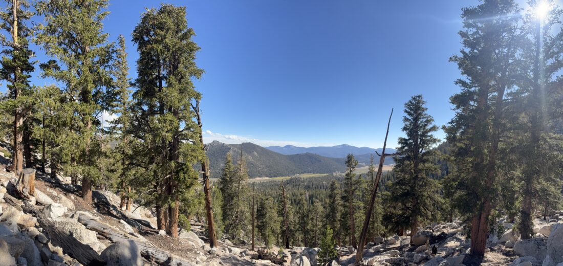
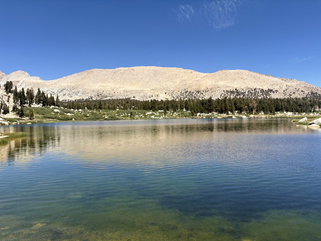
Soon, the trail eased, and we reached the junction to Muir Lake. We opted to head to Cottonwood Lake #2 as our lunch destination. As we passed by Cottonwood Lake #1, a golden eagle soared above us! What a sight, and we caught a photo of it. We followed the shoreline to a nice spot for lunch. What a view–I can see why permits to camp here are so coveted. Trout could be seen swimming in the clear water as we ate and relaxed. We filtered some water and began to head back to camp. Instead of taking the same trail, this time we used the New Army Pass Trail. I’m so glad we did, as we were rewarded with a lovely waterfall.


As we made our way back, fresh backpackers were making their way up the trail to begin their adventures. After rejoining the Cottonwood Lakes Trail, I began to notice my legs starting to feel the miles and effort. I hoped I had not overdone it with this hike. As we continued on, that fear kept growing. Maybe once at camp and a good night’s sleep, I might recover.


Back at camp, I took it easy. After making a simpler dinner, we again enjoyed a night campfire before turning in. I hoped that I had not sabotaged my ability to climb Mt. Whitney by doing too much to acclimatize. To be continued…The final stats for this hike were 13.1 miles and 1,480 feet of gain. Not counting our lunch break, the hike took us 5:45.


I am an avid peak bagger, sometimes backpacker, and former sea kayaker living in San Diego. I am the co-author of Urban Trails: San Diego, coming in Spring 2026!
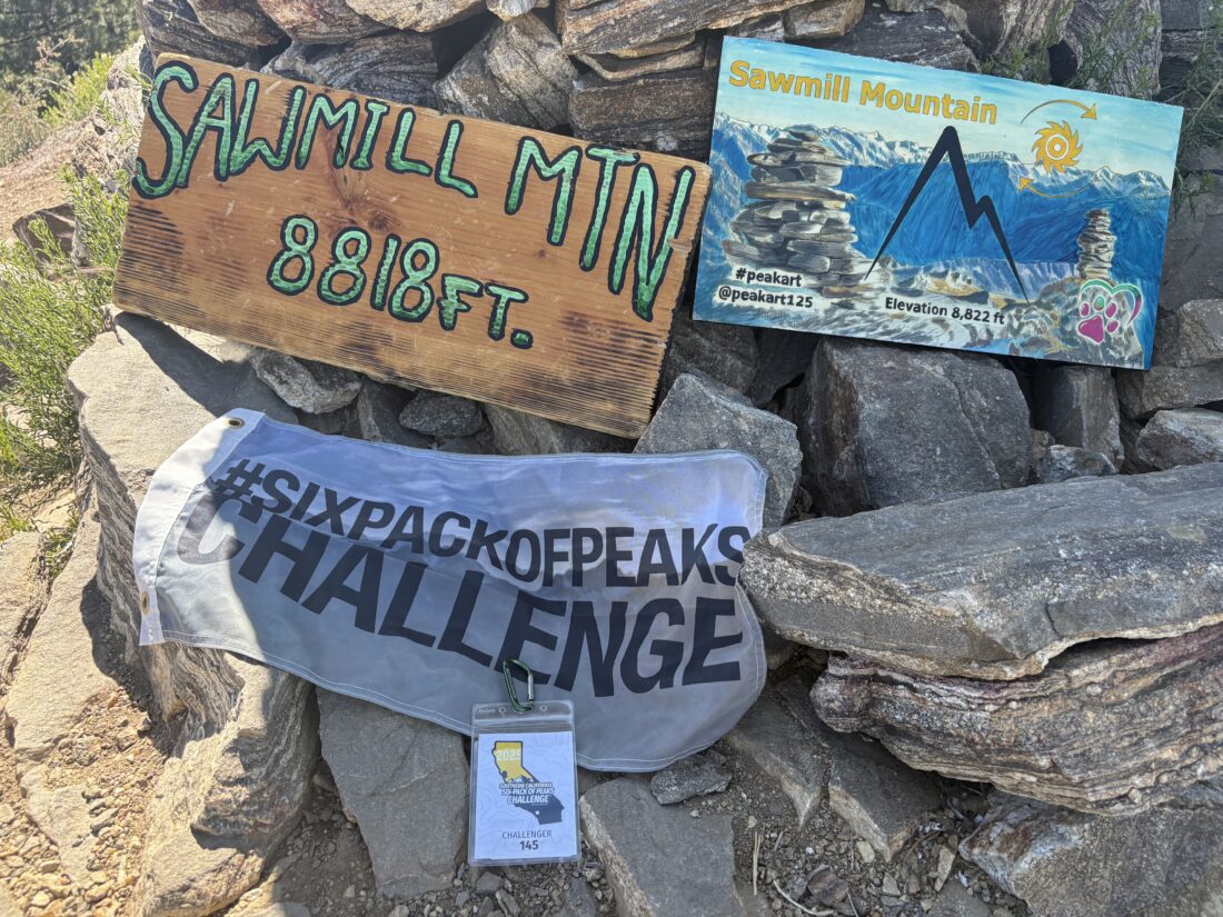
In 2019, I became the third person to complete the San Diego 100 Peak Challenge. Not stopping with that accomplishment, I set my sights on the harder San Diego Sierra Club 100 Peak list, which I completed in 2021. In addition, I have conquered several Six-Pack of Peaks challenges (SoCal, San Diego, Central Coast, and both the Arizona-Winter and Arizona-Summer).
I am looking forward to exploring new summits and new adventures across the southwest.