Trip Reports

Petit Jean State Park

While visiting my sister in Little Rock, my wife and I drove out to Petit Jean State Park. This park is about an hour west of where we were staying. Our first stop was the Cedar Falls Overlook trail. This short trail takes you down to where you can see the falls. Unfortunately, there was no water flowing, but it was still a lovely view.

We drove down to the lodge and took a look around. From there we drove a short distance to hike the Bear Cave Trail. We did the small loop, before retreating to our air-conditioned car.  I would love to come back during some cooler weather and explore more of the park.


Buy Me a Coffee at ko-fi.com

I am an avid peak bagger, sometimes backpacker, and former sea kayaker living in San Diego. I am the co-author of Urban Trails:San Diego, coming in Spring 2026!

In 2019, I became the third person to complete the San Diego 100 Peak Challenge. Not stopping with that accomplishment, I set my sights on the harder San Diego Sierra Club 100 Peak list, which I completed in 2021. In addition, I have conquered several Six-Pack of Peaks challenges (SoCal, San Diego, Central Coast, and both the Arizona-Winter and Arizona-Summer). I am looking forward to exploring new summits and new adventures across the southwest. 

Petrified Forest National Park

Our first real stop on our road trip to Little Rock to see my sister and her family was the Petrified Forest/Painted Desert. Since it was late July, I knew we were not going to be doing a lot of the trails scattered around the park. One hike we actually did was the Giant Log trail located just behind the Rainbow Forest Museum.

Once back in the cool, air-conditioned car, we continued driving through the park. We hit several of the major sights: Blue Mesa Road Loop, the Teepees, Newspaper Rock.  

The drive also took us into the Painted Desert. We again stopped at a few viewpoints to take in the views. I would love to come back here and do some longer hikes, even an overnight trip.


Buy Me a Coffee at ko-fi.com

I am an avid peak bagger, sometimes backpacker, and former sea kayaker living in San Diego. I am the co-author of Urban Trails:San Diego, coming in Spring 2026!

In 2019, I became the third person to complete the San Diego 100 Peak Challenge. Not stopping with that accomplishment, I set my sights on the harder San Diego Sierra Club 100 Peak list, which I completed in 2021. In addition, I have conquered several Six-Pack of Peaks challenges (SoCal, San Diego, Central Coast, and both the Arizona-Winter and Arizona-Summer). I am looking forward to exploring new summits and new adventures across the southwest. 

Mount Magazine

Might not have scored a permit for Mt. Whitney, but I was able to summit another state’s high point, Mount Magazine in Arkansas. Towering at 2,753 feet, this was a short hike from the trailhead. The entire hike was under a mile and had about 140 feet of elevation gain. The summit had rocks arranged in the shape of the state. Unfortunately, there is no view from the summit.

After returning to that car, I made a quick stop to take in the view of the Peitit Jean River Valley. While there were no views from the summit, this made up for that.


Buy Me a Coffee at ko-fi.com

I am an avid peak bagger, sometimes backpacker, and former sea kayaker living in San Diego. I am the co-author of Urban Trails:San Diego, coming in Spring 2026!

In 2019, I became the third person to complete the San Diego 100 Peak Challenge. Not stopping with that accomplishment, I set my sights on the harder San Diego Sierra Club 100 Peak list, which I completed in 2021. In addition, I have conquered several Six-Pack of Peaks challenges (SoCal, San Diego, Central Coast, and both the Arizona-Winter and Arizona-Summer). I am looking forward to exploring new summits and new adventures across the southwest. 

San Jacinto (via Devil’s Slide)

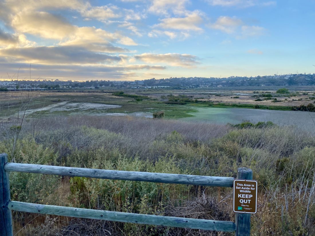
I wanted to try to cross off another peak on the SoCal Six-Pack of Peaks challenge before my upcoming vacation to see my sister in Arkansas. Of my remaining peaks on the list, several have already been earmarked for other attempts later in the year, so that really only left San Jacinto available right now. Setting my alarm for 3 am, I hit the sack early. The drive up to Idyllwild was uneventful, sans passing what I later learned was a fatal roll-over crash on the southbound I-15. I picked up my permit from the ranger station and drove a bit further to Humber Park. This was going to be my third summit of San Jacinto. My first summit had been done via the Marion Mountain route, and the other time Ted and I had done the traditional route from the tram station. This time I opted to take the Devil’s Slide Trail until it connected with the PCT, then continue on to the summit.

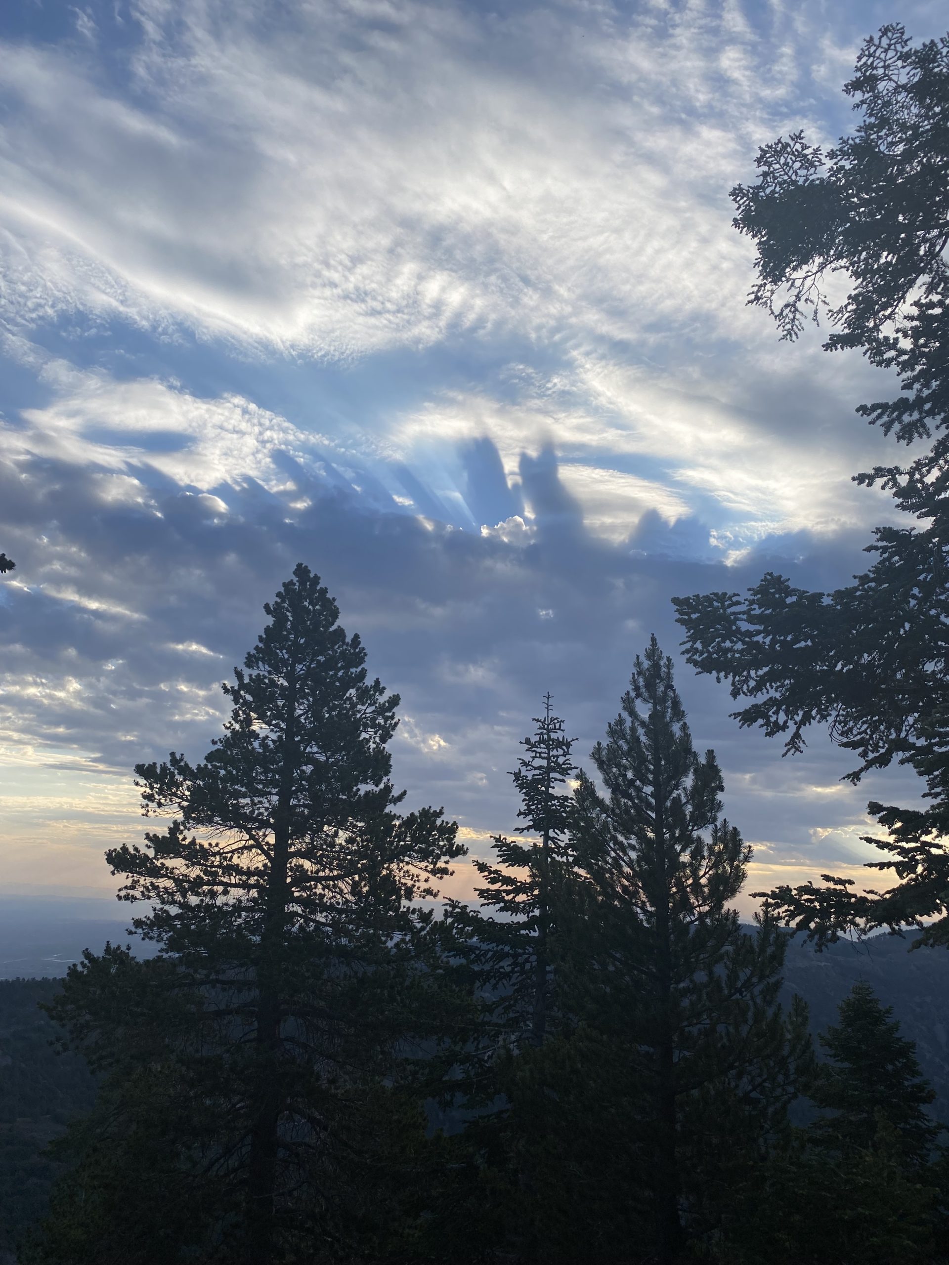
I arrived a bit before dawn at the parking lot. Thankfully, the trailhead has some bathrooms, so I took advantage of that before setting off. I had hiked some of the Devil’s Slide trail years ago when my wife and I spent a weekend in Idyllwild. Unfortunately, I don’t remember a lot about that hike. Grabbing my gear, I headed for the southeast end of the parking lot to the start of the trail. While it was still dark, my eyes had adapted enough to clearly see the well-maintained trail, and I set off.

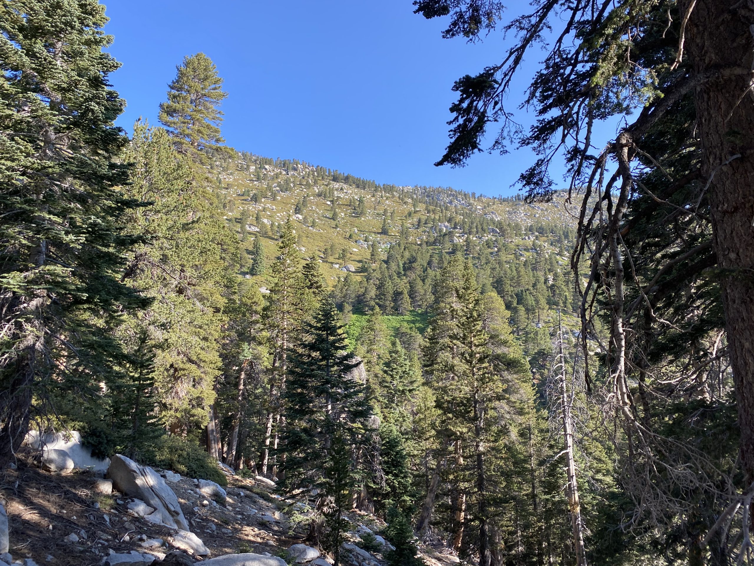
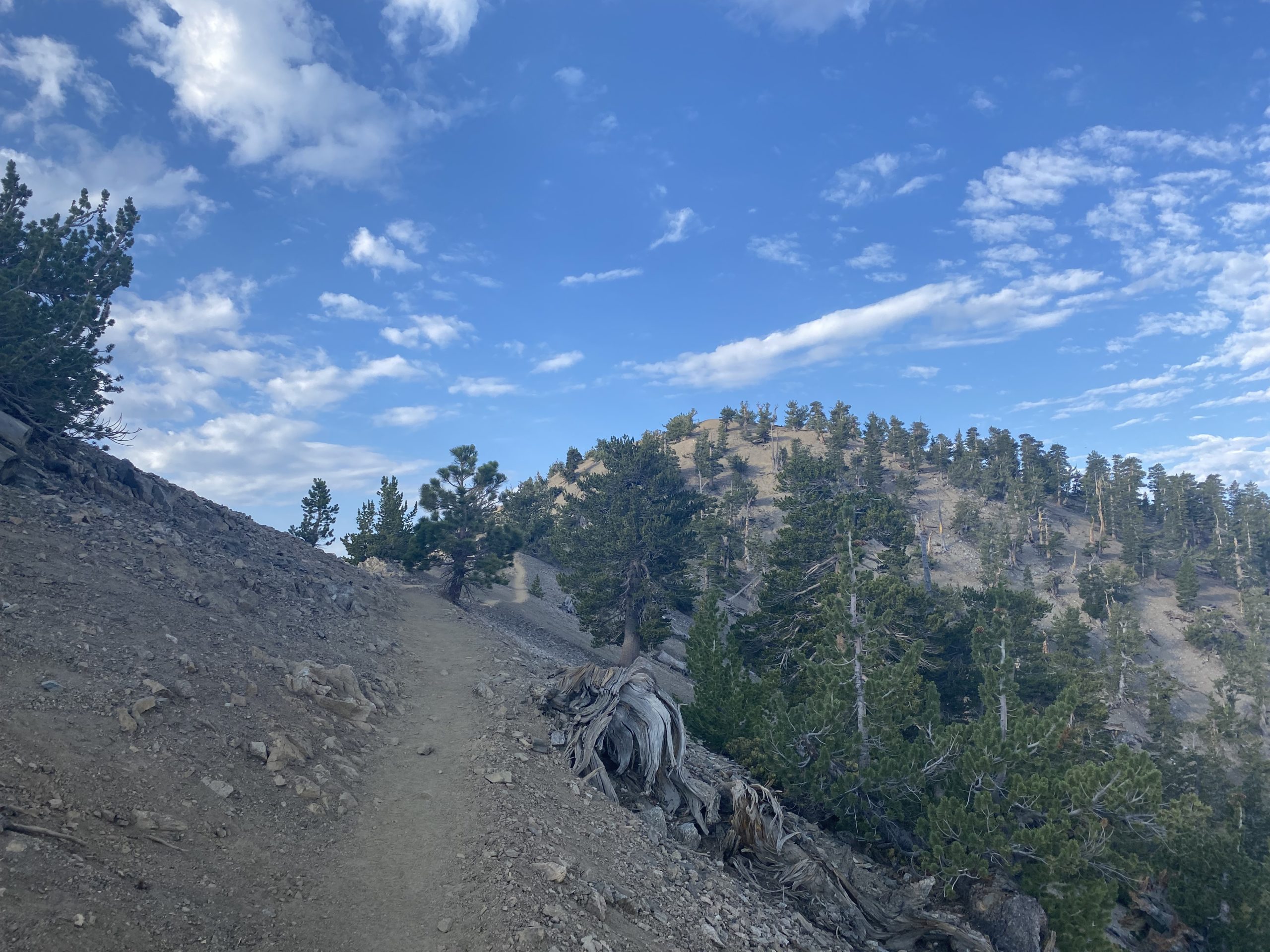
Knowing I had about 15 miles of hiking ahead of me, I kept my pace measured. As I made my way up toward Saddle Junction, I could see Suicide Rock to the west starting to emerge from the darkness. Once at Saddle Junction, I turned north onto the PCT. I would have a couple of sections of switchbacks to use. Just a friendly reminder that I was climbing to a peak that stands at 10,843 feet.

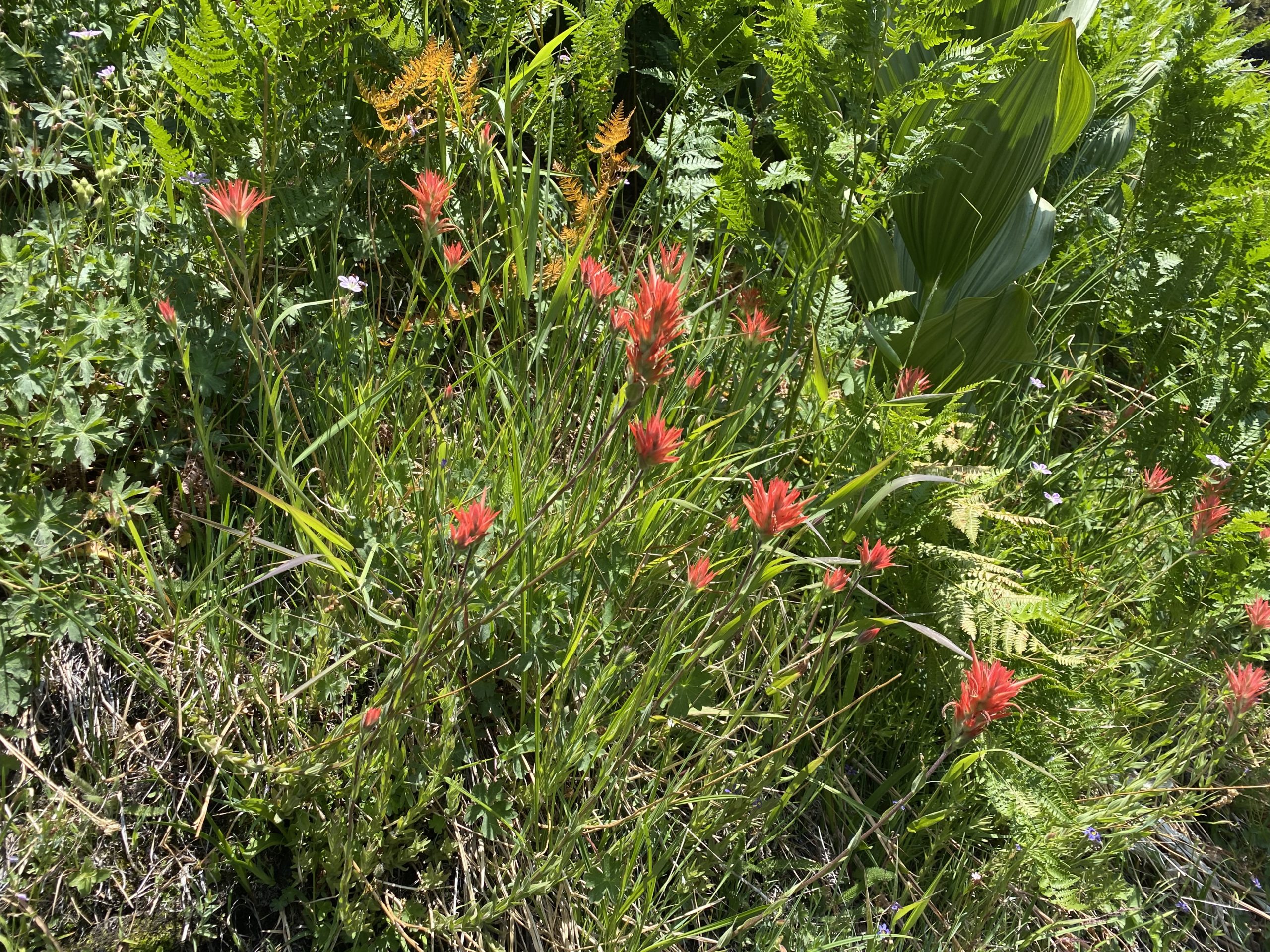
After crossing from the San Jacinto Wilderness into the Mount San Jacinto State Wilderness, I soon passed the Wellman Cienaga. Two springs still had some flowing water. I had packed my small water filter just in case I needed to refill upon my descent. It was just past here I finally met another person on the trail. He had camped at Little Round Valley the night before, and after summiting this morning was heading back down. We chatted a bit before parting ways.

I found a nice spot past the Wellman Divide for a short break for some fuel and fluids. Since I had dinner plans with some friends back in San Diego, I needed to be mindful of my time. I set a hard turnback time of 11, figuring I would be able to have a quicker pace on the descent. 

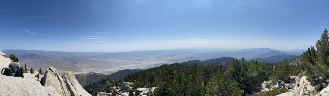
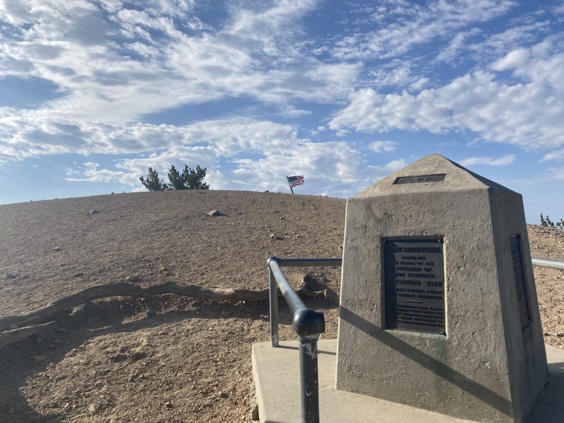
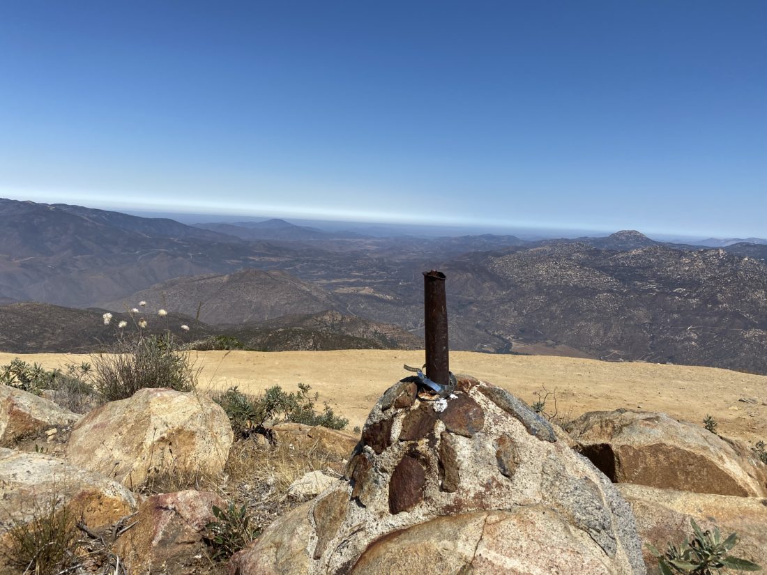
The trail had now become familiar to me, as this was the same as the route Ted and I followed last time. Around 10,000 feet I started developing a bit of a headache from the altitude, so I needed to be mindful of it as I continued pushing to the summit. As I kept working my way up, I also kept an eye on my time. It was going to be tight, but I should be ok. Finally, the hut came into view and I knew the peak was a short scramble away. I worked my way to the summit. Unlike last weekend, where I had the peak to myself for a bit, this was not the case today. Several Boy Scout troops were scattered about, along with other hikers. I snapped just a few photos and headed back down to the hut for a short break and a snack. It was almost 11 and I needed to begin my descent. I had really hoped to relax on the summit for a while, but I knew that was not going to happen. 

Making my way down, I passed more and more hikers heading up. I suspect many of these had started at the tram station. Continuing back the same way, I would check my current pace to see if I was still on track. Thankfully, I was. Reaching the spring, I stopped for a bit. My water bladder still had enough water, so I did not need to filter any, but I did take the opportunity to wet a towel to toss around my neck. I certainly could feel the day becoming warmer. But between the shade of the trees and the slight breeze, it was still a mostly pleasant descent. Judging by the faces of those ascending, they might have a different opinion.

I knew there was a chance of some thunderstorms in the later afternoon, and to the south, I could see the start of some clouds forming. Once I reached Saddle Junction again, I knew I had a mere 2.5 miles to go. Since I had forgone any long rest breaks, I was starting to feel the miles at this point. Finally, the parking lot came into view. I happily took off my hiking shoes and slipped on my sandals. The thermometer in the car read 91°F! Thankfully, I really did not feel it during the descent, although on some of the exposed sections, it was a bit warm. I grabbed a couple of cold drinks from the market and another snack and began the long drive home. All told the hike was 14.9 miles with 4,365 feet of gain in 9:45. And yes, I made the dinner party without any issue. 🙂


Buy Me a Coffee at ko-fi.com

I am an avid peak bagger, sometimes backpacker, and former sea kayaker living in San Diego. I am the co-author of Urban Trails:San Diego, coming in Spring 2026!

In 2019, I became the third person to complete the San Diego 100 Peak Challenge. Not stopping with that accomplishment, I set my sights on the harder San Diego Sierra Club 100 Peak list, which I completed in 2021. In addition, I have conquered several Six-Pack of Peaks challenges (SoCal, San Diego, Central Coast, and both the Arizona-Winter and Arizona-Summer). I am looking forward to exploring new summits and new adventures across the southwest. 

Baden-Powell (via Vincent Gap)

Decided to get back to working on the Six-Pack of Peaks Challenge by summiting Mount Baden-Powell. Since we were under a heat advisory, I knew a very early start was in order. I set the alarm for 3 am, and begged forgiveness from my wife. As I finished getting my gear ready in the morning, I discovered that my water bladder was leaking. Crud! I pivoted to using side bottles instead and tossed in an extra bottle in the pack as well. With that problem solved, I began the two-hour drive to the trailhead. When I pulled into the lot at Vincent Gap, there were just a handful of cars there. Another hiker was also getting ready across the lot. We chatted briefly. It turns out he drove up from Oceanside. He planned to do Big Horn Mine first with a friend, then attempt Baden-Powell. I wished him well and I left him waiting for his friend to arrive.

The trail began its steady climb to the summit. I was mindful of my pace, as I knew I had almost 2,800 feet of gain ahead of me. I kept an eye on the east, as the sun had not cleared the mountains yet, and I was hoping to capture some nice photos. 

I would stop every so often and grab some water from my side bottles. While the short break was nice, I am more of a sipping style of hiker. I continued to make my way up the 40 switchbacks. It was not until the last mile or so that I finally encountered some hikers coming down. 

I stopped at the Wally Waldon Tree for a short break. This limber pine is believed to be the oldest living thing in the entire San Gabriel Mountains and was named after Michael H. “Wally” Waldron, an L.A. area Boy Scout leader who helped organize a nine-week project to repair the trails and erect the concrete monument and plaque to Lord Baden-Powell.

From there I continued on the last tenth of a mile to the summit. The hikers that passed me were resting on the concrete platform where the monument to Lord Baden-Powell is erected. I headed over to the flag and the sign and took my summit photos. As I stood on the summit once again, I knew I had a better ascent. While I felt the last bit of the climb, I pushed on since the summit was close and I could refuel then. The other two hikers headed back down the trail, so I grabbed their spot and enjoyed my snacks. A couple more hikers joined me on the summit. One was another Six-Pack Challenger, and in fact, this was his final peak! Then I heard my name being called out. The two women I had met on Oakzanita had just summited. I went over and chatted with them for a bit. Meanwhile, the summit I once had to myself was now swarming with people. I figured now would be a good time to head back down, plus it was starting to get warmer.

I set off back down the trail at a quick pace. The trail was certainly more busy than during my ascent. One group of four ladies stopped me to inquire about my Garmin InReach and its use. We chatted a bit about it and how I use it when I am out. One of them has a Whitney permit and wants to have something with her. We parted ways, and I continued motoring down the trail. As I drew closer to the trailhead, I could feel the day becoming very warm. Whenever the trail passed through an exposed section, I could really feel it. My greetings to passing hikers changed from simple encouragement to more cautionary about staying safe. I could not believe hikers were still starting out under the heat for this hard of a hike. When I reached the car, its thermometer was at 88°F! I’m glad I started when I did. With that, my 4th peak on the Six-Pack of Peaks was in the books. I covered the 7.6 miles in 3:51, about 15 minutes faster than last time!


Buy Me a Coffee at ko-fi.com

I am an avid peak bagger, sometimes backpacker, and former sea kayaker living in San Diego. I am the co-author of Urban Trails:San Diego, coming in Spring 2026!

In 2019, I became the third person to complete the San Diego 100 Peak Challenge. Not stopping with that accomplishment, I set my sights on the harder San Diego Sierra Club 100 Peak list, which I completed in 2021. In addition, I have conquered several Six-Pack of Peaks challenges (SoCal, San Diego, Central Coast, and both the Arizona-Winter and Arizona-Summer). I am looking forward to exploring new summits and new adventures across the southwest. 

Tecate Peak

After having driven up Otay Mountain, we drove over toward Tecate Peak. Once at the border, we drove along the wall, passing a Border Patrol truck. We chatted with him for a bit letting him know our plans to drive up the summit. We found our way onto the correct road and began our climb. This road is rougher than the road up Otay. We parked at the summit and took our photos.


Buy Me a Coffee at ko-fi.com

I am an avid peak bagger, sometimes backpacker, and former sea kayaker living in San Diego. I am the co-author of Urban Trails:San Diego, coming in Spring 2026!

In 2019, I became the third person to complete the San Diego 100 Peak Challenge. Not stopping with that accomplishment, I set my sights on the harder San Diego Sierra Club 100 Peak list, which I completed in 2021. In addition, I have conquered several Six-Pack of Peaks challenges (SoCal, San Diego, Central Coast, and both the Arizona-Winter and Arizona-Summer). I am looking forward to exploring new summits and new adventures across the southwest. 

Hiking in Gonzales Canyon

I decided to do this hike after work since it is just about 15 minutes from my house. My daughter decided to join me for this jaunt. We parked at Torrey Highlands Park and headed to the north end of it. From there, we picked up the Nature trail and began our descent into the canyon. The route we chose became a touch rocky; since my daughter did not have trekking poles, she had to be careful.

We chatted about our upcoming road trip to see my sister and the new school year as we made our way to the selfie spot. I pointed out the poison oak that lined the trail. We took our photo and began to retrace our path. Instead of climbing back up to the trailhead, we opted for a different route. She was not pleased with the steep hill we had to climb, but she made it. With that, my 2021-2022 Coast to Crest Challenge was complete!


Buy Me a Coffee at ko-fi.com

I am an avid peak bagger, sometimes backpacker, and former sea kayaker living in San Diego. I am the co-author of Urban Trails:San Diego, coming in Spring 2026!

In 2019, I became the third person to complete the San Diego 100 Peak Challenge. Not stopping with that accomplishment, I set my sights on the harder San Diego Sierra Club 100 Peak list, which I completed in 2021. In addition, I have conquered several Six-Pack of Peaks challenges (SoCal, San Diego, Central Coast, and both the Arizona-Winter and Arizona-Summer). I am looking forward to exploring new summits and new adventures across the southwest. 

Blue Sky to Lake Poway

The latest edition of the San Dieguito River Valley Conservancy’s Coast to Crest Challenge kicked off on July 1st, so I knew what much of holiday weekends plan were now. I decided that I would start the challenge off by hiking from Blue Sky Ecological Reserve, then up and around Lake Poway. This was going to be a nice 5.2-mile hike. I have not hiked Blue Sky in a long time, so I was looking forward to it. I pulled in about 8, and the lot was almost full, but I found a space. I applied my sunscreen, grabbed my gear, and set off.

I cruised along the wide trail for a bit until I came to the junction with the Creekside Trail. I was looking at my map and deciding if I want to take it. Two women ask for an opinion on the trail options. I told the Creekside trail would be better coming back, as it should have a touch more shade. I told them I was continuing on the main trail, then heading up to the Lake and around. We headed off together. I began chatting about the hike and the C2C challenge. When we reached the turn-off to Lake Poway, they asked if they could tag along. I welcomed the company. We started our ascent and I learned they were fairly new to hiking, so I began giving probably more information on hiking San Diego than they bargained for. I pointed out some various landmarks as we made our way to the lake. But more importantly, I showed them what poison oak looks like.

We cruised around its shoreline. I took my required selfie for the challenge near the southern end of the lake. The trail was busy but not crowded. We dropped back down from the lake onto the main trail. Soon we were back at the parking lot. I gave them some more suggestions for their next adventure and bid farewell. All told the hike was 5.27 miles and we did it in 1:59.


Buy Me a Coffee at ko-fi.com

I am an avid peak bagger, sometimes backpacker, and former sea kayaker living in San Diego. I am the co-author of Urban Trails:San Diego, coming in Spring 2026!

In 2019, I became the third person to complete the San Diego 100 Peak Challenge. Not stopping with that accomplishment, I set my sights on the harder San Diego Sierra Club 100 Peak list, which I completed in 2021. In addition, I have conquered several Six-Pack of Peaks challenges (SoCal, San Diego, Central Coast, and both the Arizona-Winter and Arizona-Summer). I am looking forward to exploring new summits and new adventures across the southwest. 

Dust Devil Trail

Decided to hike the easiest of the Coast to Crest Challenge’s hike, the Dust Devil Trail with some of the family. We pulled into the parking lot in the early evening to enjoy the end of the holiday weekend. The sun was just behind the late-day clouds, as we strolled to the wildlife view spot, aka ‘selfie spot’.

The family returned the same way to the car, as it was getting close to when the trail closes. I opted to hustle around the larger loop to take in some sights. We meet back at the car almost at the same time. One more hike to go and I will have completed this year’s Coast to Crest Challenge.


Buy Me a Coffee at ko-fi.com

I am an avid peak bagger, sometimes backpacker, and former sea kayaker living in San Diego. I am the co-author of Urban Trails:San Diego, coming in Spring 2026!

In 2019, I became the third person to complete the San Diego 100 Peak Challenge. Not stopping with that accomplishment, I set my sights on the harder San Diego Sierra Club 100 Peak list, which I completed in 2021. In addition, I have conquered several Six-Pack of Peaks challenges (SoCal, San Diego, Central Coast, and both the Arizona-Winter and Arizona-Summer). I am looking forward to exploring new summits and new adventures across the southwest. 

Santa Fe Valley Connector trail

Once I was done with my summit of Black Mountain, I drove the short distance to the trailhead for the Santa Fe Valley Connector trail. This section of the Coast to Crest Trail was recently acquired, so I was looking forward to exploring it. The trailhead is shared with the Lusardi Creek Loop. The early morning cloud cover was burning off, so I made sure to apply my sunscreen before setting off.

The trail passes by some incredible homes before dipping down toward the Lusardi Creek. The creek is still flowing, from residential runoff, and it made for a fun crossing. A guide rope is secured to the trees to help you across. From there, the trail follows the creek for a while, before turning east. 

After following the San Dieguito river for a bit, I had a small climb to reach my turn-around spot. I located my ‘selfie’ spot, with the Crosby Golf Course behind me, and took my photo. I retraced my route. The day had warmed up and I was glad I only had the short climb back to the car.  


Buy Me a Coffee at ko-fi.com

I am an avid peak bagger, sometimes backpacker, and former sea kayaker living in San Diego. I am the co-author of Urban Trails:San Diego, coming in Spring 2026!

In 2019, I became the third person to complete the San Diego 100 Peak Challenge. Not stopping with that accomplishment, I set my sights on the harder San Diego Sierra Club 100 Peak list, which I completed in 2021. In addition, I have conquered several Six-Pack of Peaks challenges (SoCal, San Diego, Central Coast, and both the Arizona-Winter and Arizona-Summer). I am looking forward to exploring new summits and new adventures across the southwest.