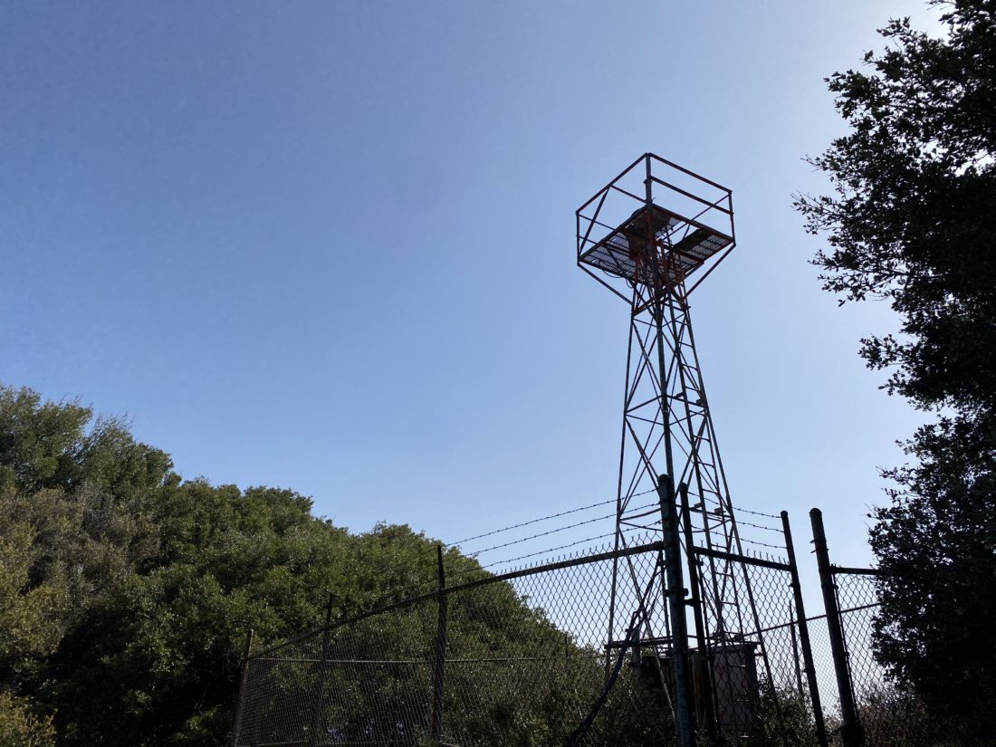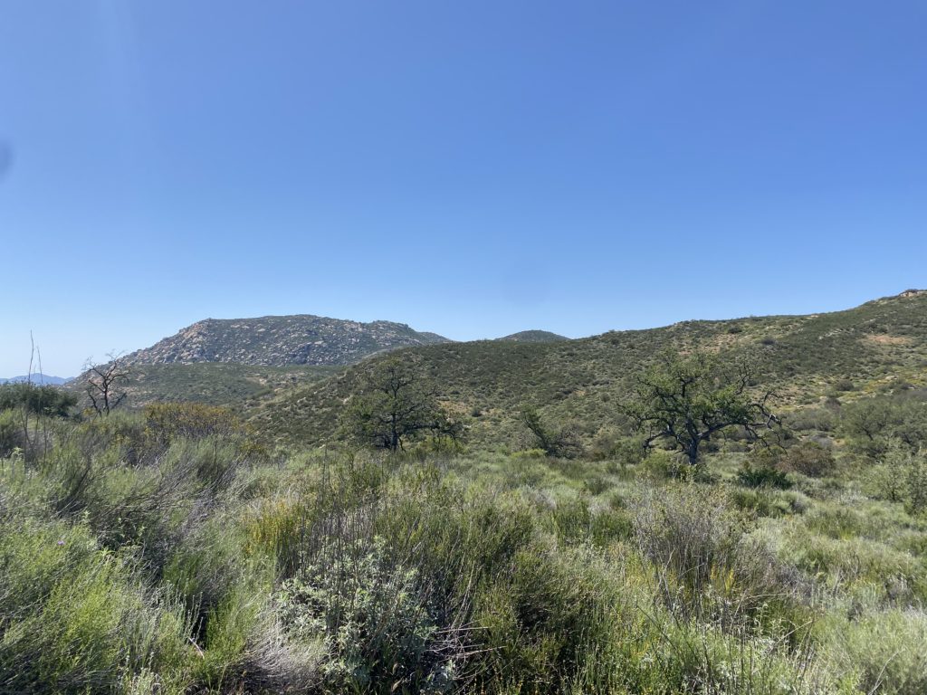
One of the things I tried to do, while working on the San Diego North County Sierra Club’s 50 for 50 Challenge, was to hike trails I have not hiked before. Since I was only doing half of them to earn the patch, I could be afforded that luxury. My wife had made plans with some friends for Mother’s Day morning and would not be home until the afternoon. My son had come home for the weekend from Arizona, and joined me in a couple of short hikes I needed to do. The first hike was Heller’s Bend.
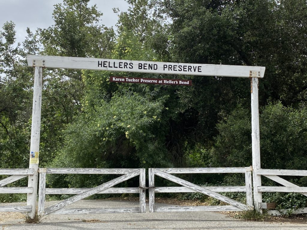
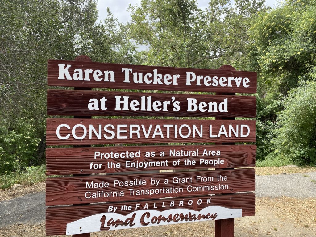
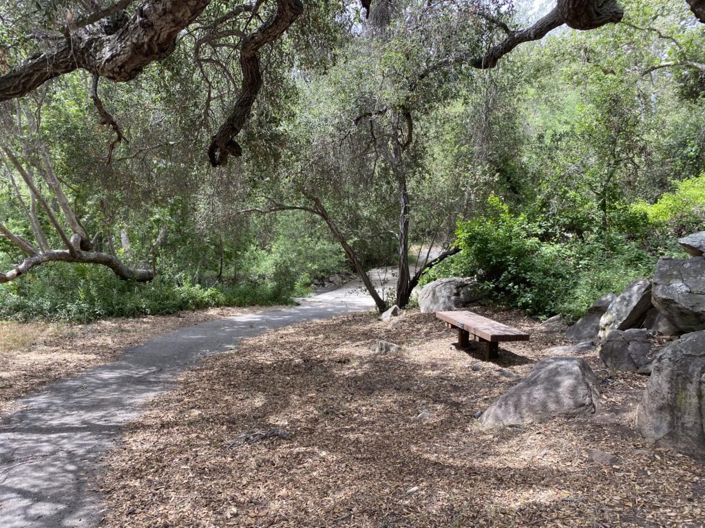
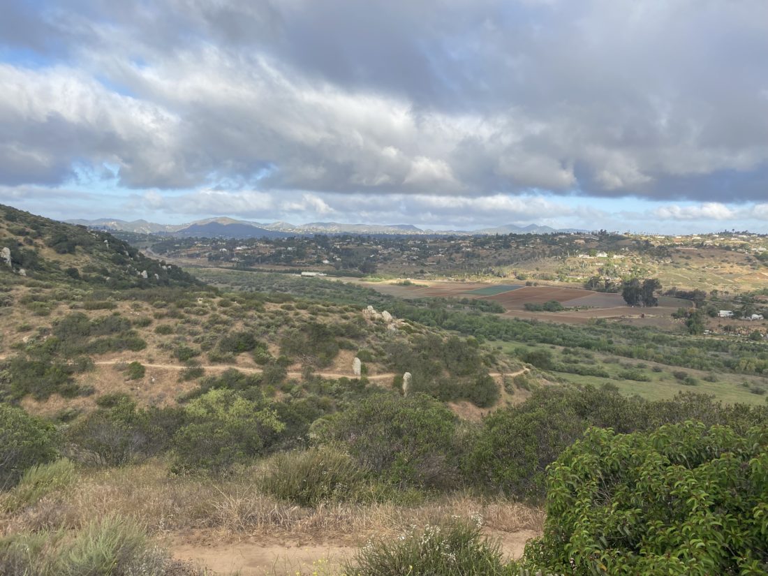
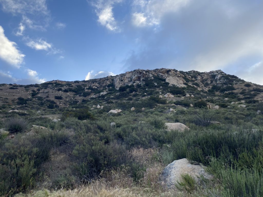
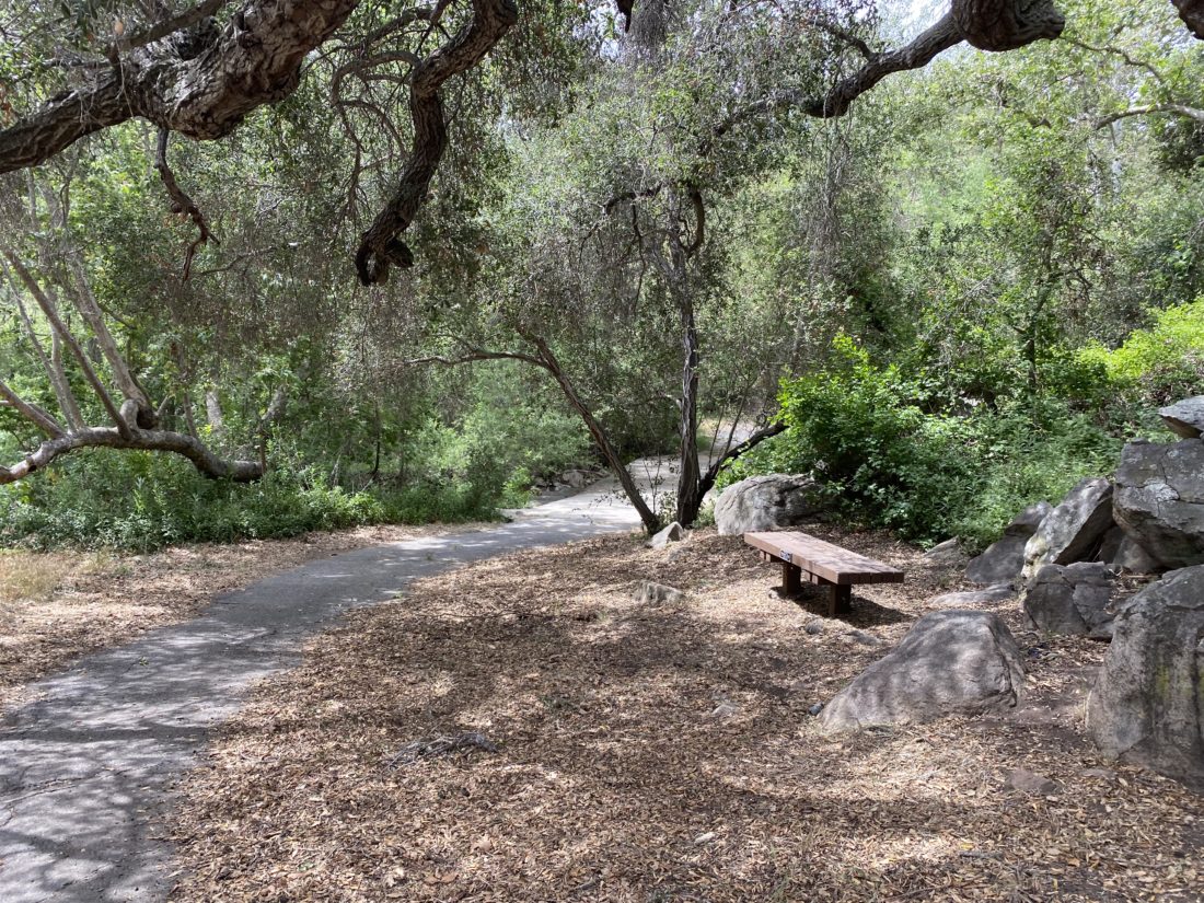
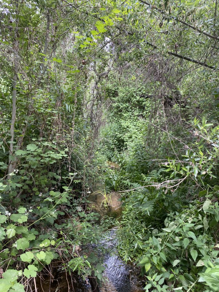
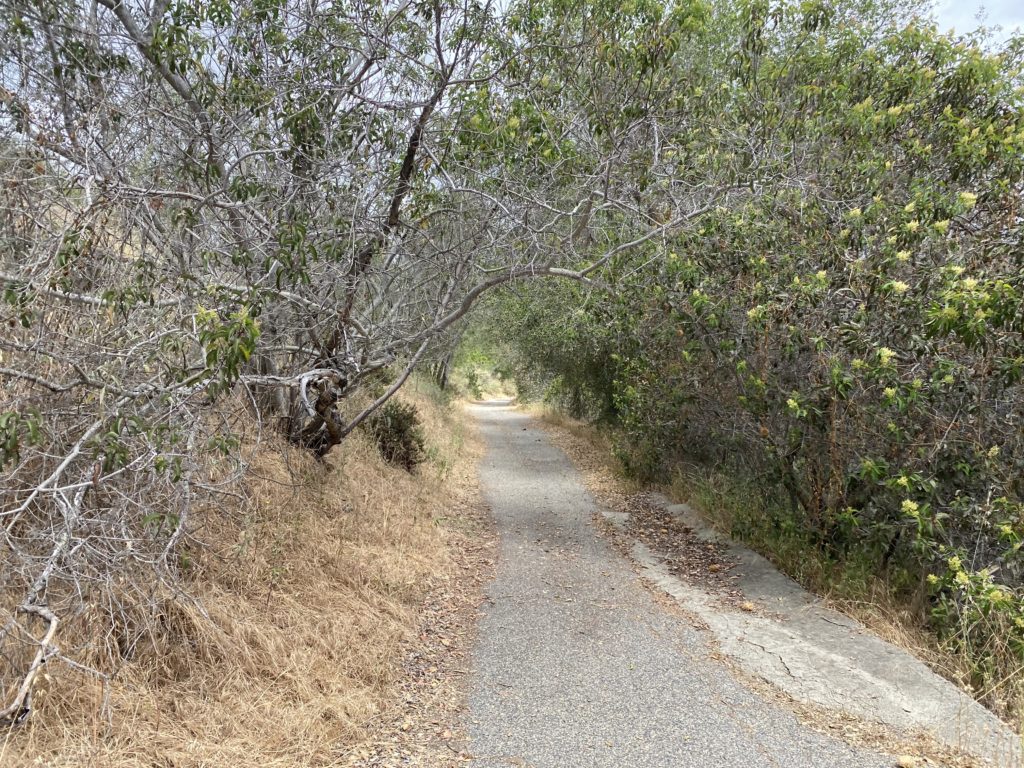
Once we found enough space to pull off the road (there is no set parking for this hike) we set off. Technically, this is the “Karen Tucker Preserve at Heller’s Bend”, but that is quite a mouthful. It is managed by the Fallbrook Land Conservancy, which also manages several other hikes and preserves in the area. We followed the paved road down and across a small creek. Oaks hung over the path, giving us some nice shade. The road then made a few small turns before beginning to head southward. We climbed up the steep road that served as our way up toward a small ridge.
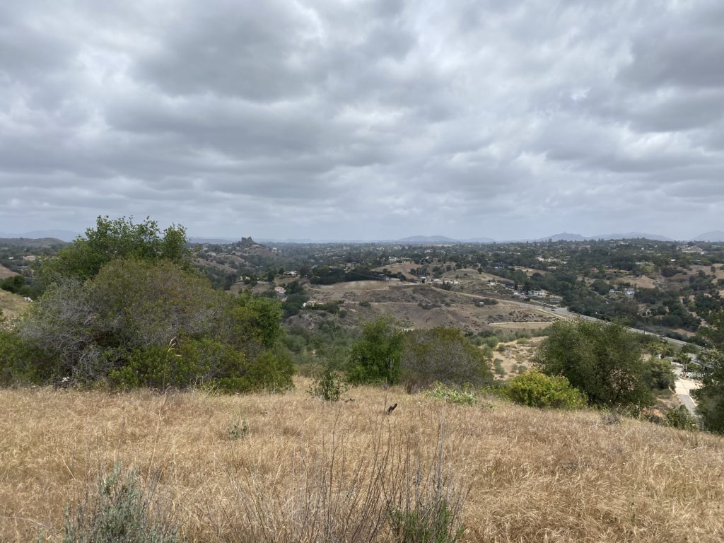
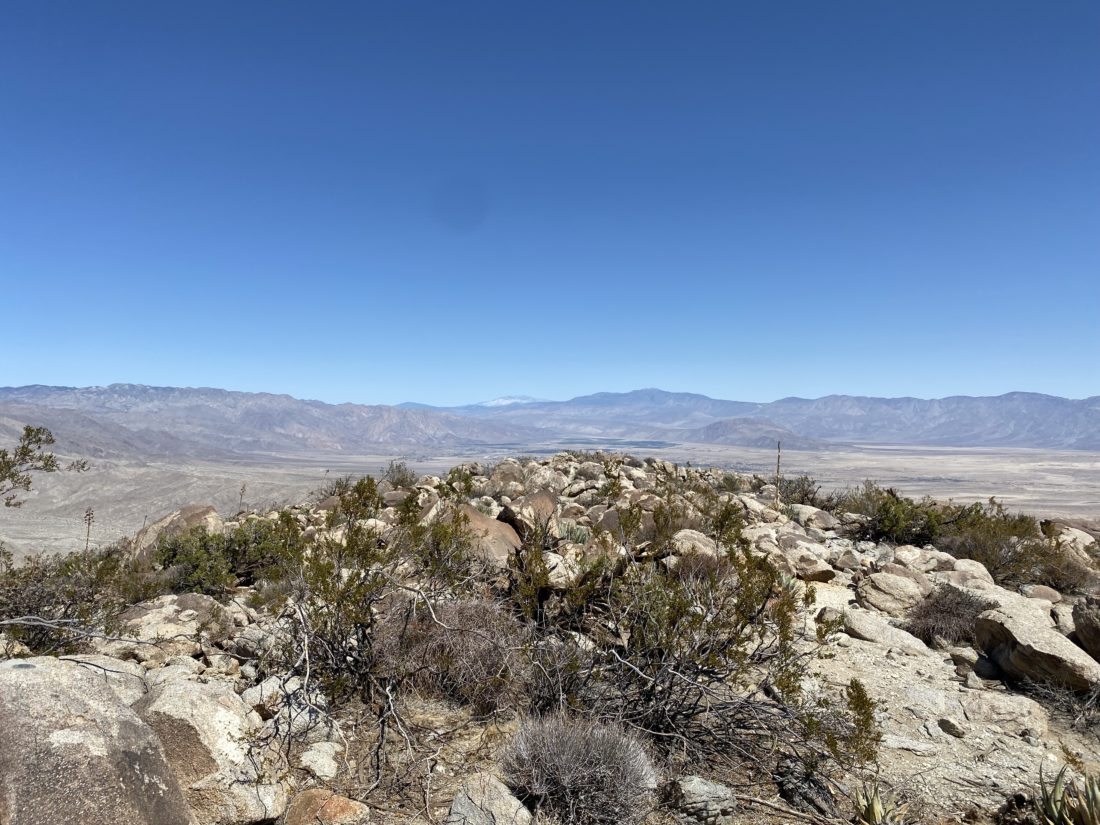
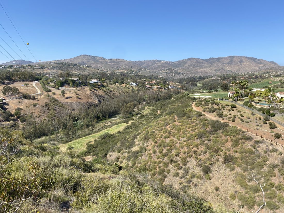
At the top, two benches allowed my son to take a breather, while I chose to explore around the area. The paved portion of the trail ends here, with a nice vista of Fallbrook. The trail did continue, but I didn’t feel the need to take it. We carefully worked our way down back to the car. I logged the round-trip at just under a mile, but with a nice 286-foot gain.


I am an avid peak bagger, sometimes backpacker, and former sea kayaker living in San Diego. In 2019, I became the third person to complete the San Diego 100 Peak Challenge. Not stopping with that accomplishment, I set my sights on the harder San Diego Sierra Club 100 Peak list, which I completed in 2021. In addition, I have conquered several Six-Pack of Peaks challenges (SoCal, San Diego, Central Coast, and both the Arizona-Winter and Arizona-Summer). Beyond attempting the San Diego Sierra Club 100 Peak list a second time, I am looking forward to exploring new summits and new adventures across the southwest.