One of my goals for this year was to take more backpacking trips. In fact, I hope to do many of the Six-Pack of Peaks as overnights. But another adventure I wanted to take was a backpacking trip out on Santa Cruz Island. After doing some research, I settled on arriving at Prisoner’s Harbor and hiking up to Del Norte Primitive Campground. After spending the night there, I would hike across the island to Scorpion Cove and camp there and then depart back to the mainland the next day. The first challenge was to find permits for both of these sites. Del Norte can be tough to get as there are only 4 sites available. Once I had secured my Del Norte site, I selected a site at Scorpion. The next requirement was book passage with Island Packers to be ferried over to the island. But when I tried to book my trip I was unable to arrive at Prisoner’s Harbor and depart from Scorpion. I gave up and called them directly, and learned that you can not book a trip like that on the website, but it was no problem to book over the phone.
I then extended the invitation to the trip to Ted Markus and my college buddy, Ted Hoelter, both quickly said yes. What was going to be nice about this trip is all three of us will be vaccinated, making the trip far less stressful. Ted M. and I drove up to Ventura the night before and shared a hotel room, as neither of us wanted to wake up that early to drive up to Ventura Harbor. It was like pre-Covid.
Probably one of the biggest challenges of this hike was going to be the fact that Del Norte does not have any potable water, meaning we would have to carry enough water for the 3+ mile climb to the campsite, two meals, and the 10+ mile hike over to Scorpion Cove. By our calculations, we each needed to have about 6 liters of fluids. That is a lot of water weight.

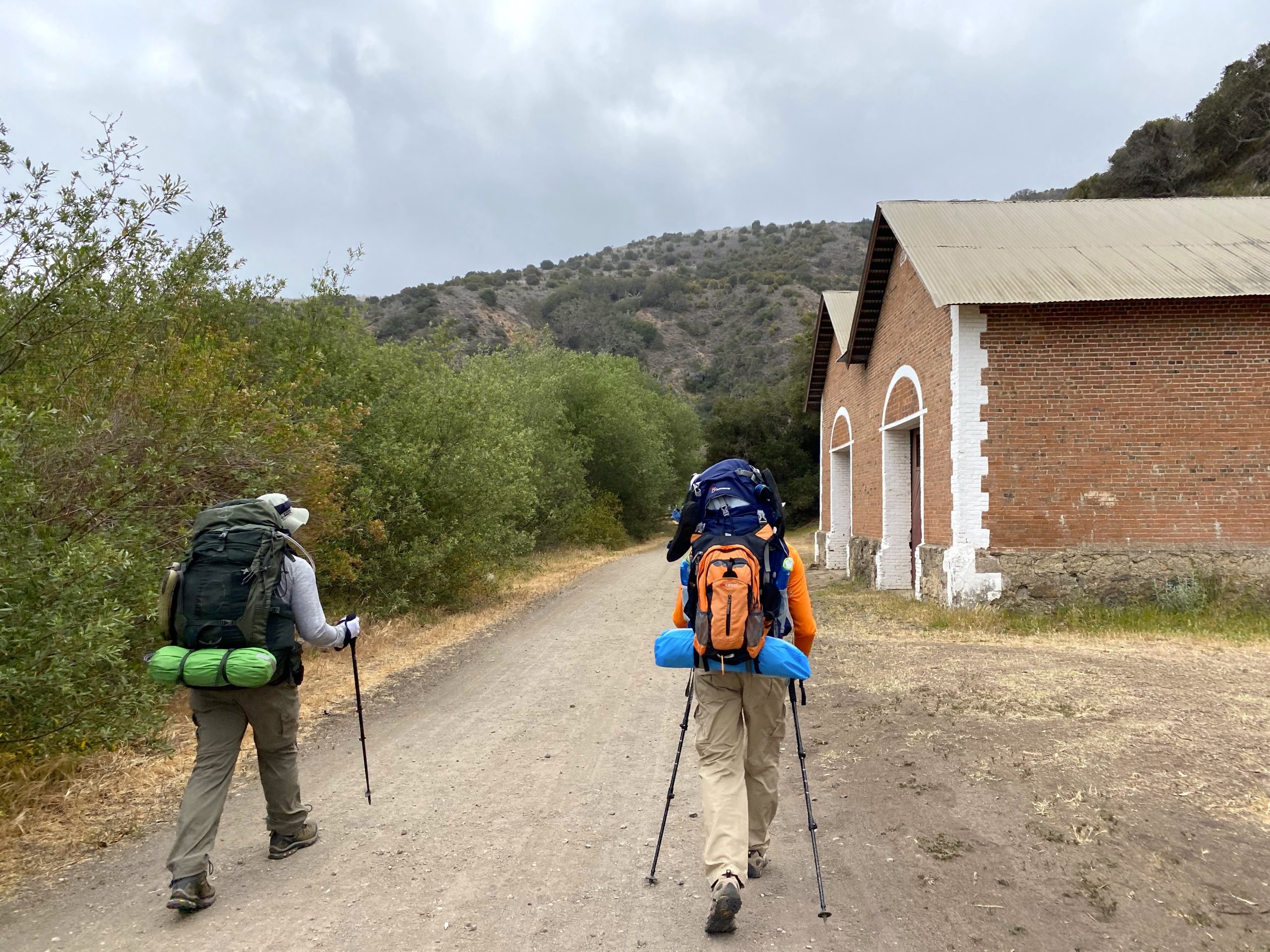
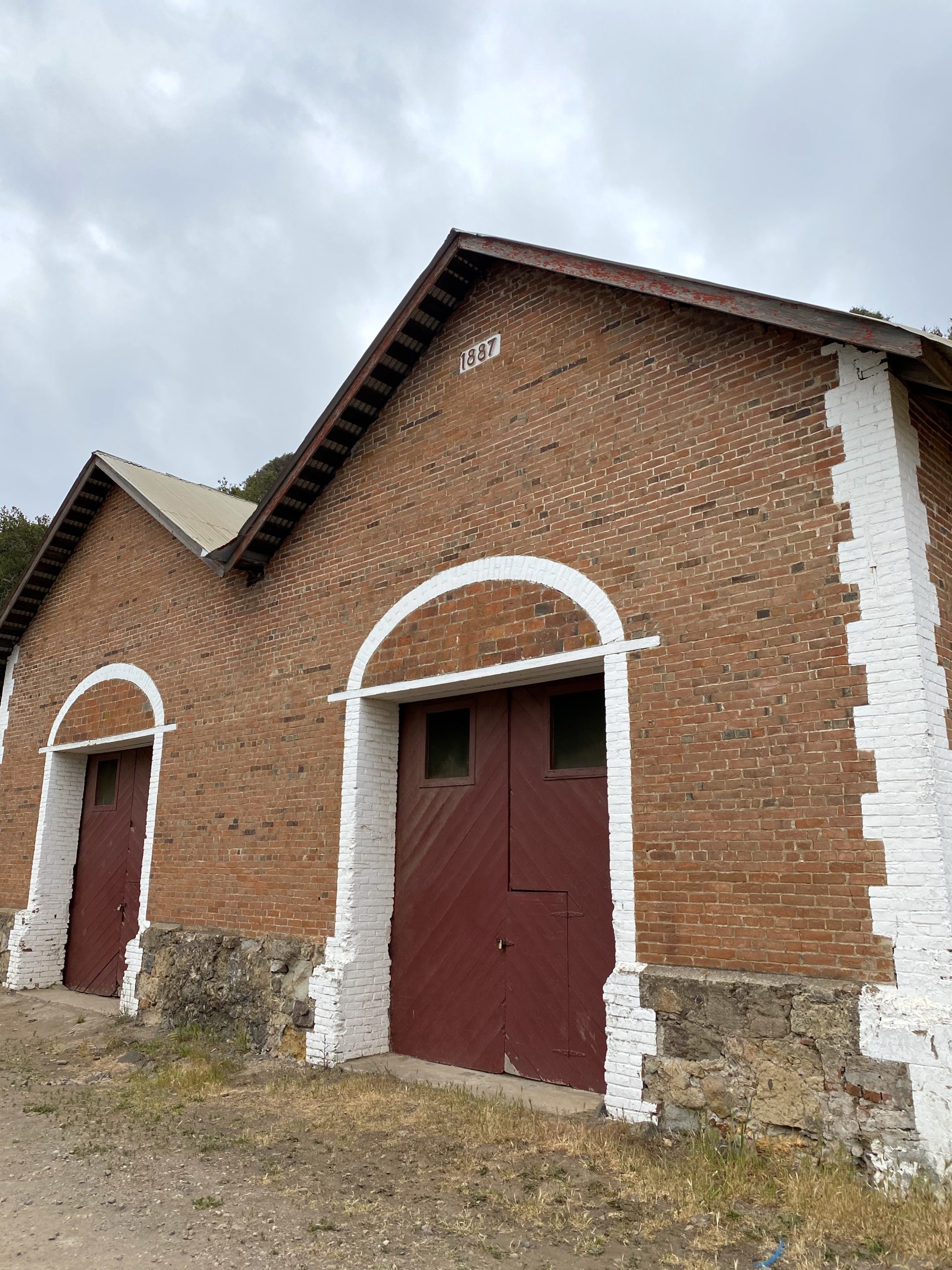
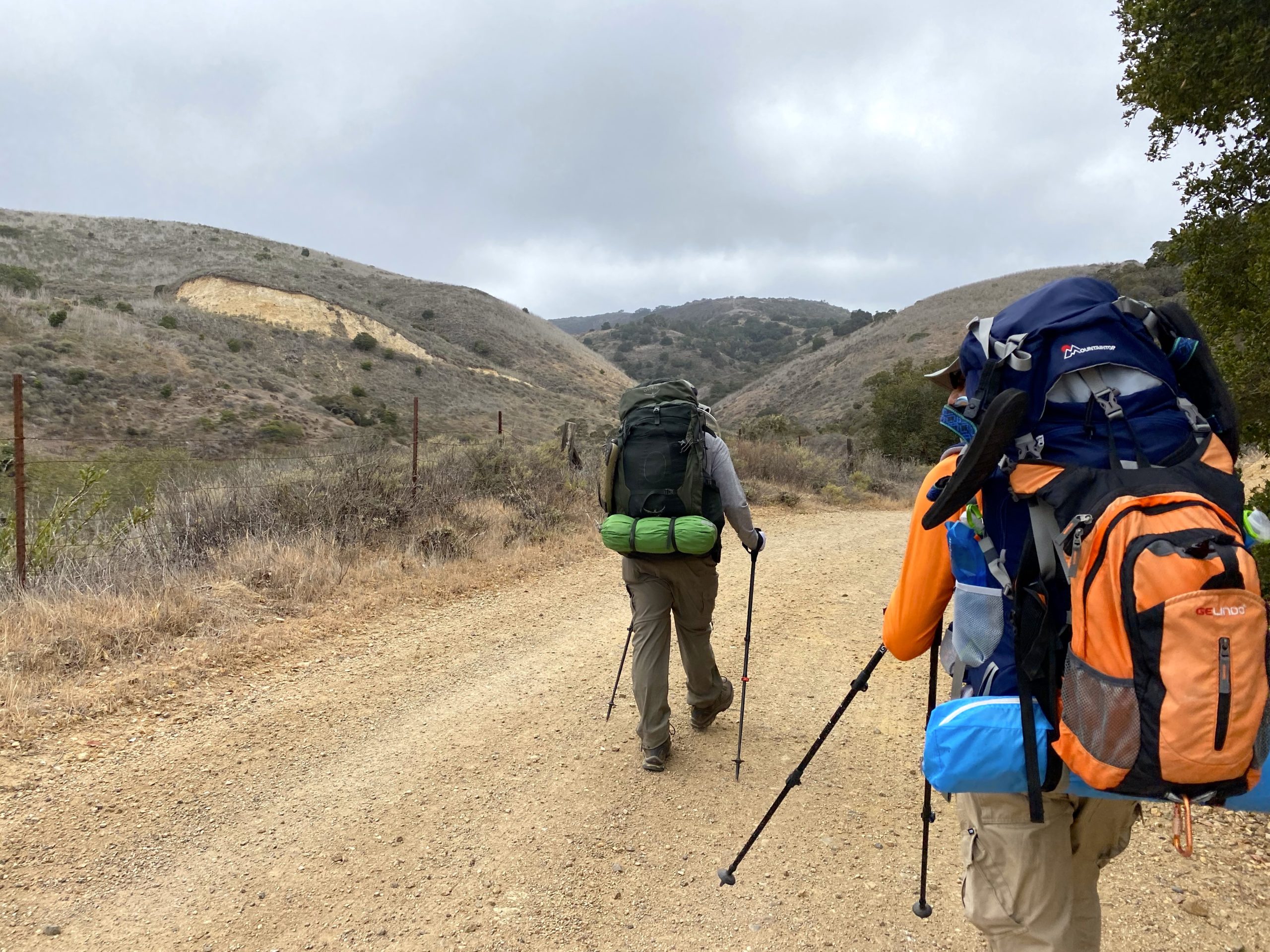
Ted M. and I grabbed breakfast at a café at the harbor before heading over to Island Packers’ dock. Our packs were weighed as there is a weight limit. In addition, our fuel had to be removed and stored separately, as did our water/fluids. I opted to put my fluids in my slack pack and keep it with me. Once on-board, we set off for the 1 ½ hour ride. The seas weren’t too bad, with just some light swell. We spotted some bottle-nose dolphins and a minke whale on the way over. Once we docked, we climbed the ladder up onto the pier and headed onto the island. The ranger was giving a briefing to the day visitors, most of whom were taking a guided hike onto the Nature Conservancy portion of the island. It seems the three of us were the only backpackers on this day. We found a picnic table and began to repack our packs. The ranger came over to us and gave us a short briefing and checked that we were properly prepared. With that we set off!


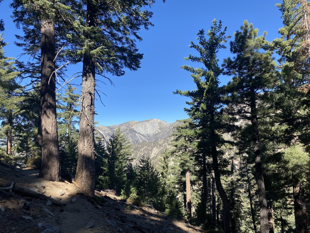
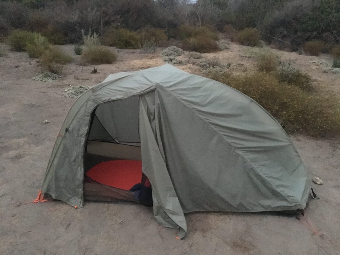
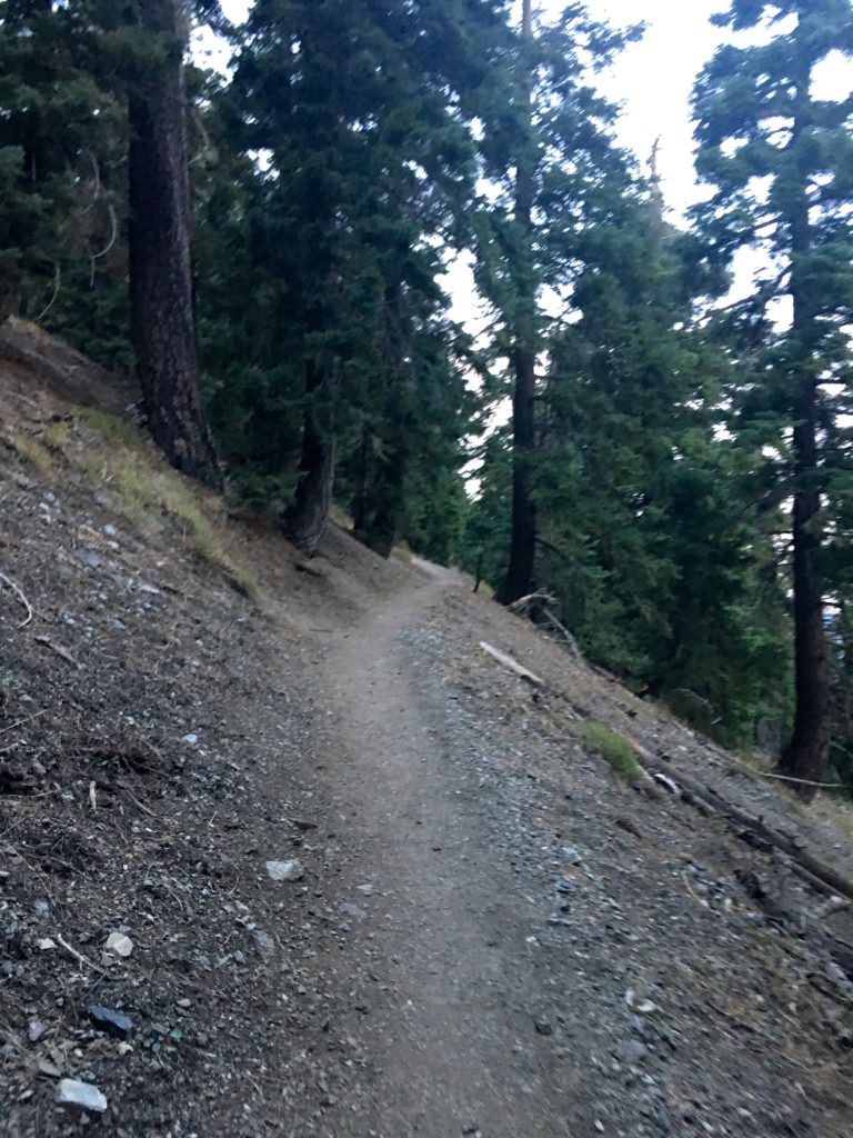
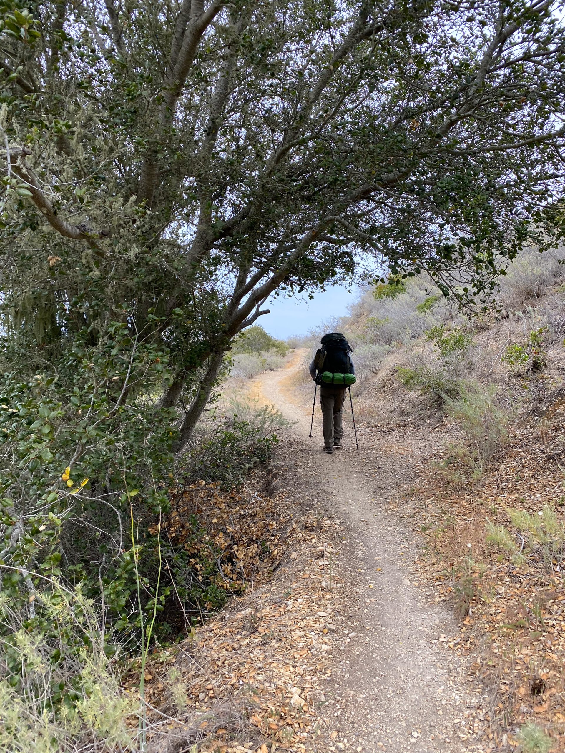
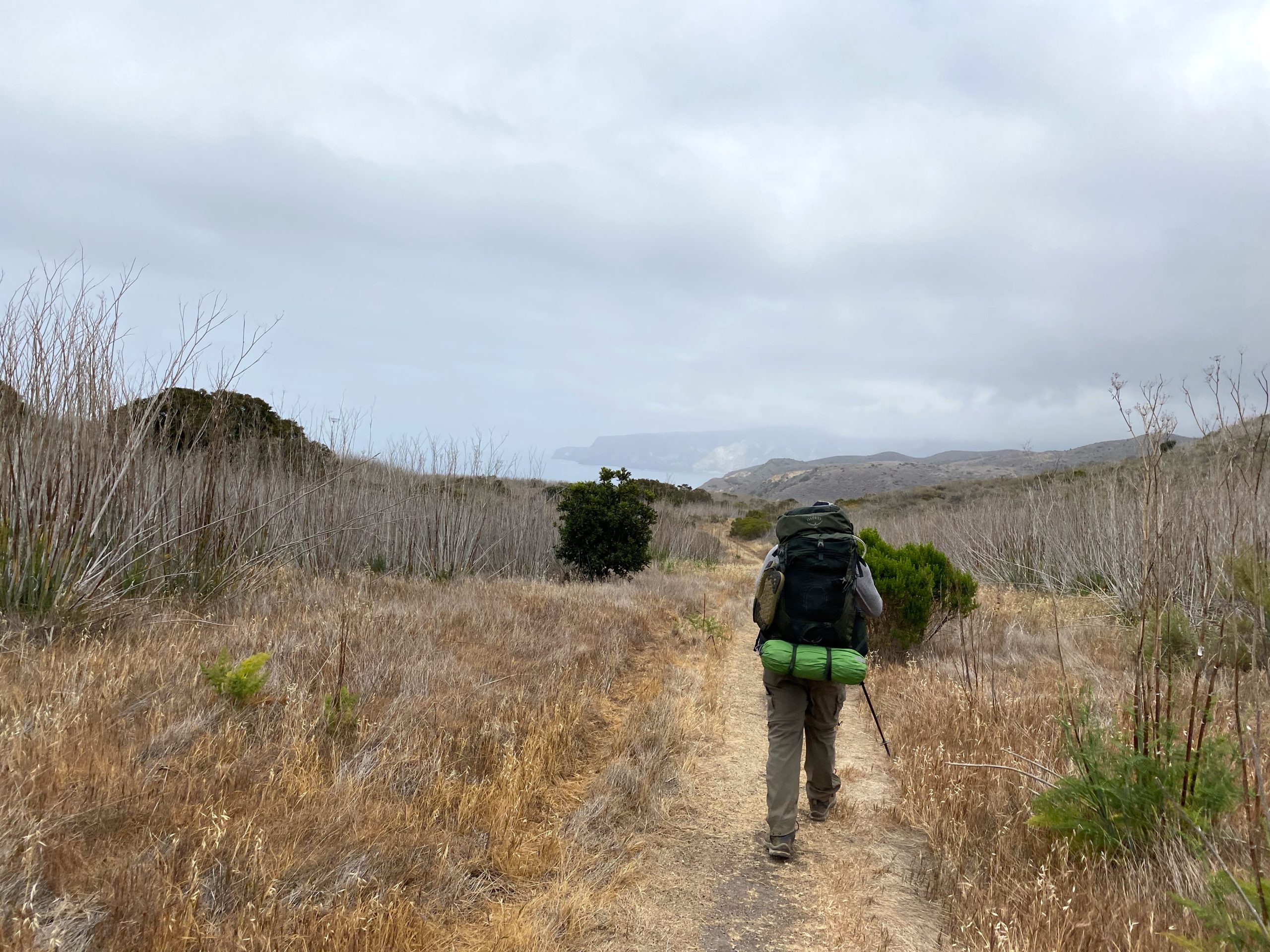
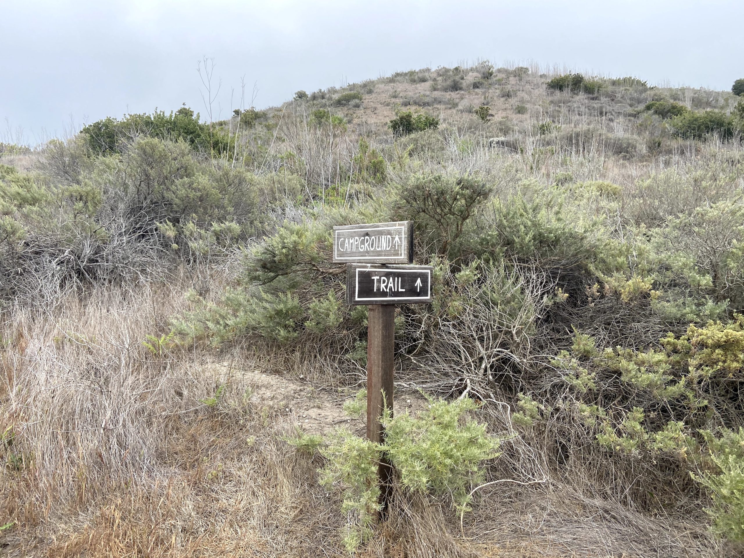
Ted M. and I had brought sandwiches for lunch. Neither of us was ready, so we kept them in our packs, figuring once we reached camp we would enjoy them. To get to the campsite, we followed the Navy Road for about 1.25 miles until it intersected with the Del Norte Trail. This first section was a fairly steady grade, but soon we would lose some of the 600 feet of gain, as the Del Norte trail would dip down into a ravine and back up. The skies were overcast and we would feel the humidity as we made our way up. From a recent YouTube video of this hike, I knew there was another picnic bench that would make a perfect rest stop. We slipped off our packs and took a nice break, enjoying the sweeping views. We debated having lunch here, but we only had one mile to camp, so we pushed on. Our climb continued until we reached the turn off to the campsite. We again slipped off our packs and surveyed the campsite. Not soon after, one of the island’s kit foxes trotted by. We decided to wait a bit to set up our tents as while currently we had the entire campsite to ourselves, in case someone was hiking over from Scorpion we did not want to have taken their site. We had our lunch and then enjoyed a nice nap for a bit. Around 5, we deemed that no one was coming, and we each took a site and set up our tents. I stayed in site 3, while Ted M. picked site 2, and Ted H. opted for site 1.
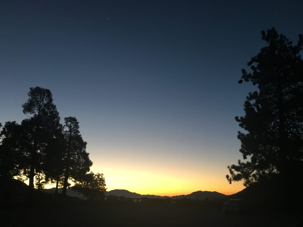
With our tents set up, we went for a short stroll up to the ranger’s house. While Gaia showed a loop, once we reached the residence, it was clear that the trail was no longer there. We returned to our camp and made dinner. I enjoyed one of the beers I had hauled in my pack as I ate my dinner. We watched the sun slip out from the cloud layer for a brief moment before sliding behind the island. We chatted around the table for a while, before storing our food in the bear boxes. I hung my pack from a nearby oak to keep some of the island’s animals from getting into it. I crawled into my tent and listened to some podcasts before drifting off to sleep. My only disappointment so far was, due to the cloudy skies, I was not going to get to enjoy the stars.
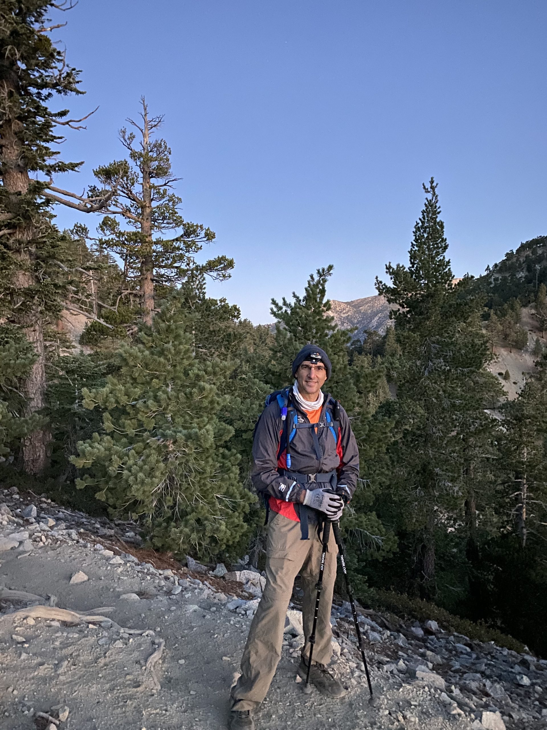
Thankfully, we had little wind throughout the night. We had read that it can get a bit windy here since it is an exposed campsite. As expected we all woke around 6. To conserve our water, we all had low-water breakfasts. I opted for oatmeal and one cup of coffee. We packed up fairly soon, as we figured we might as well start hiking while it was cooler.


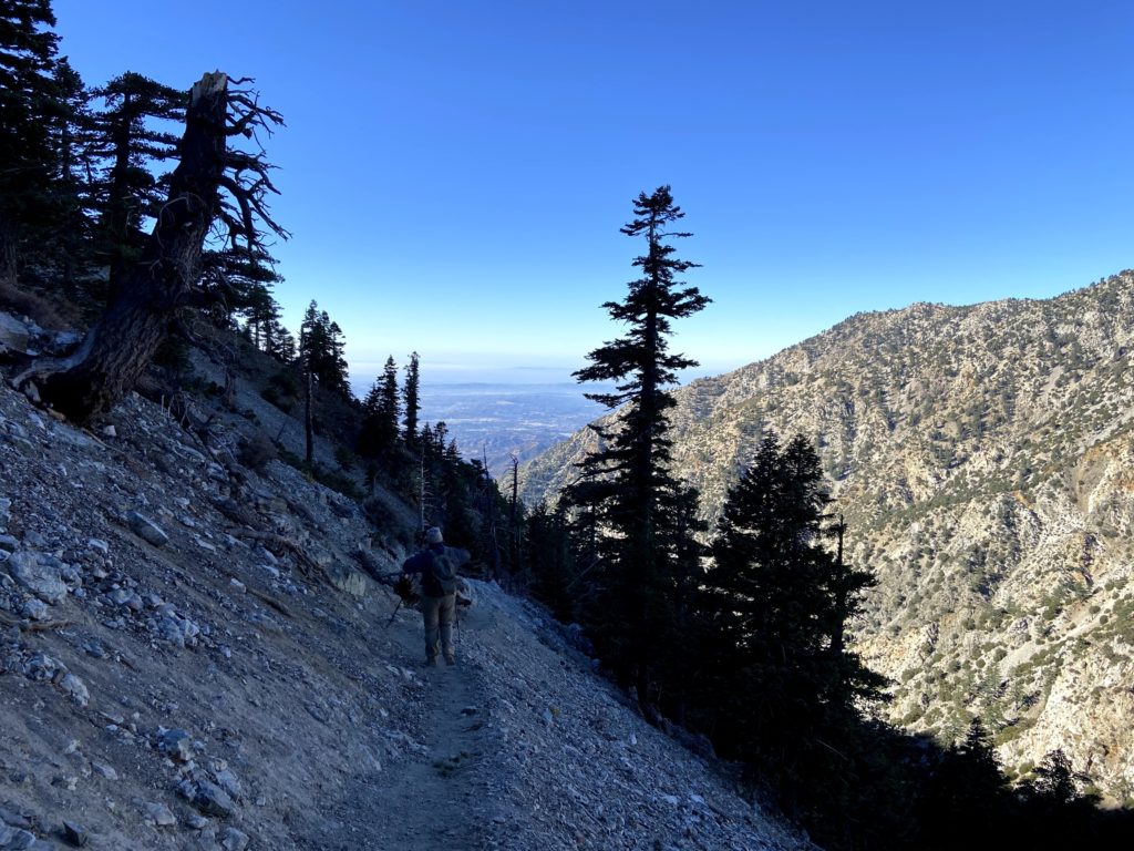
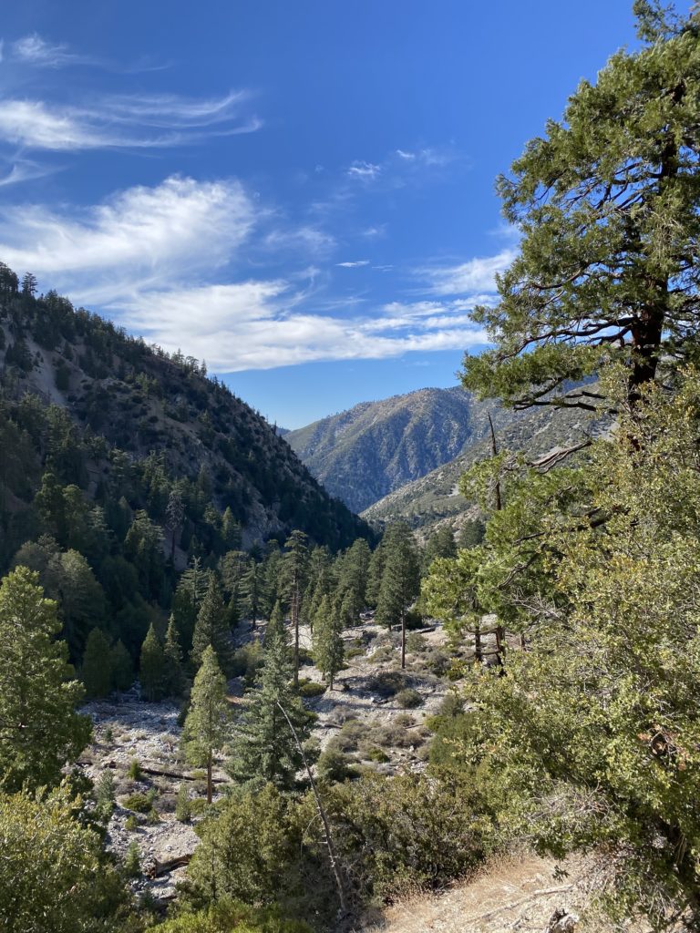
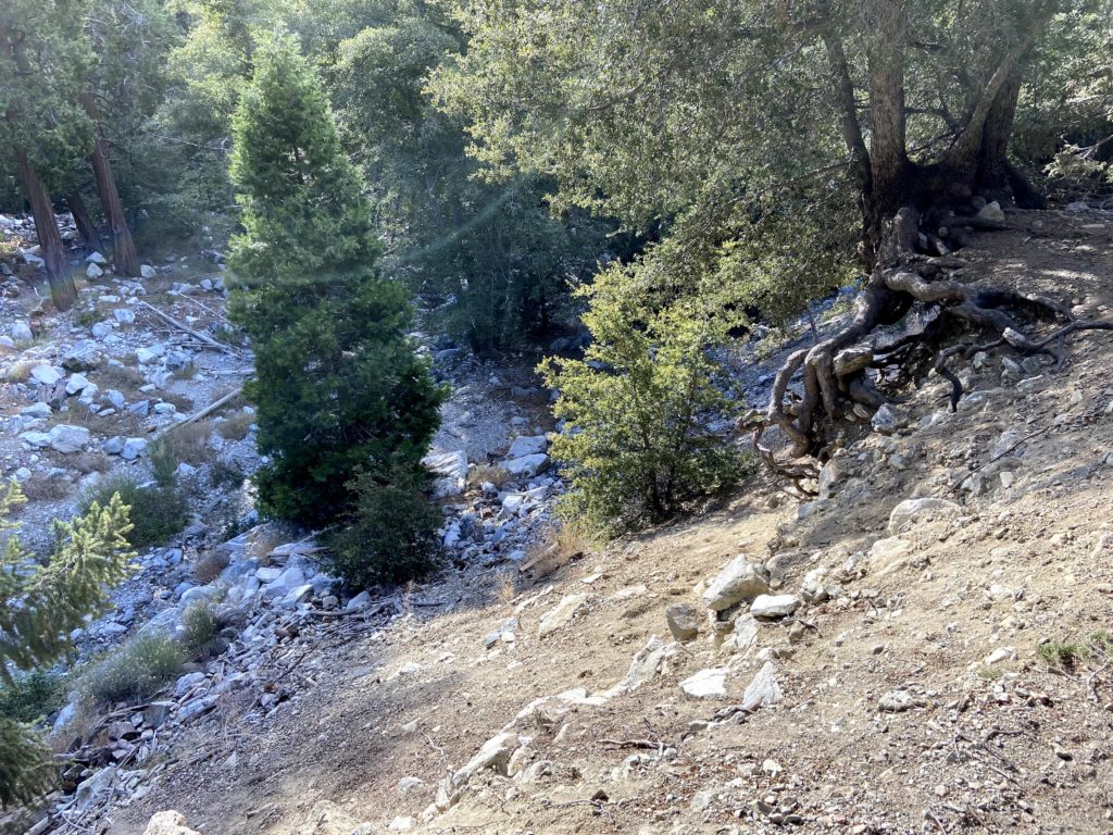
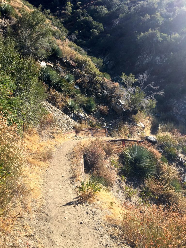
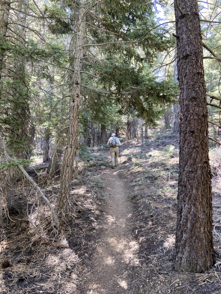
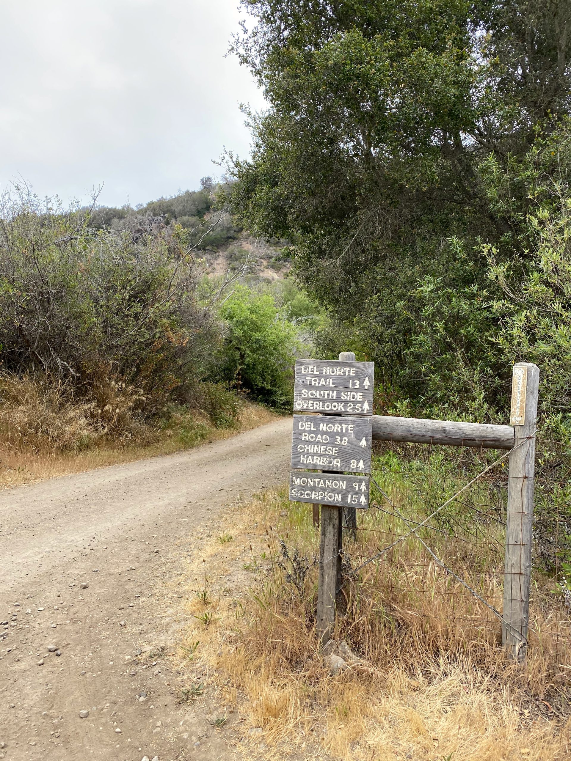
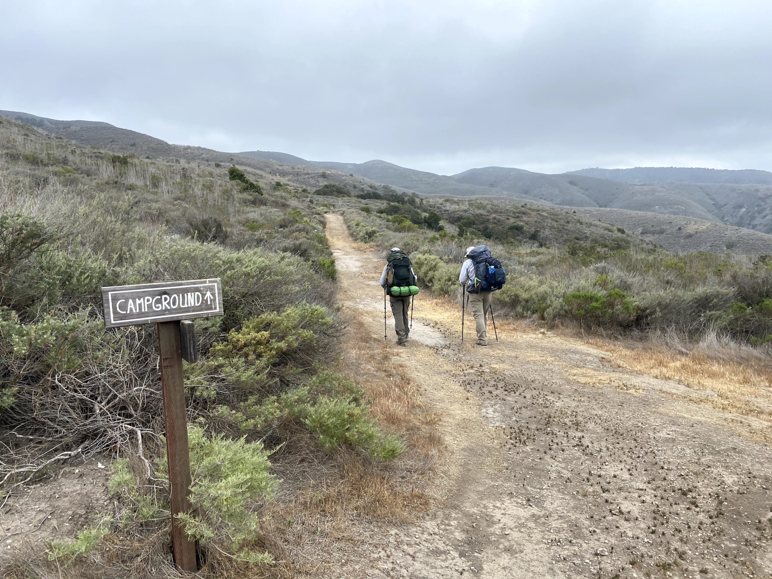
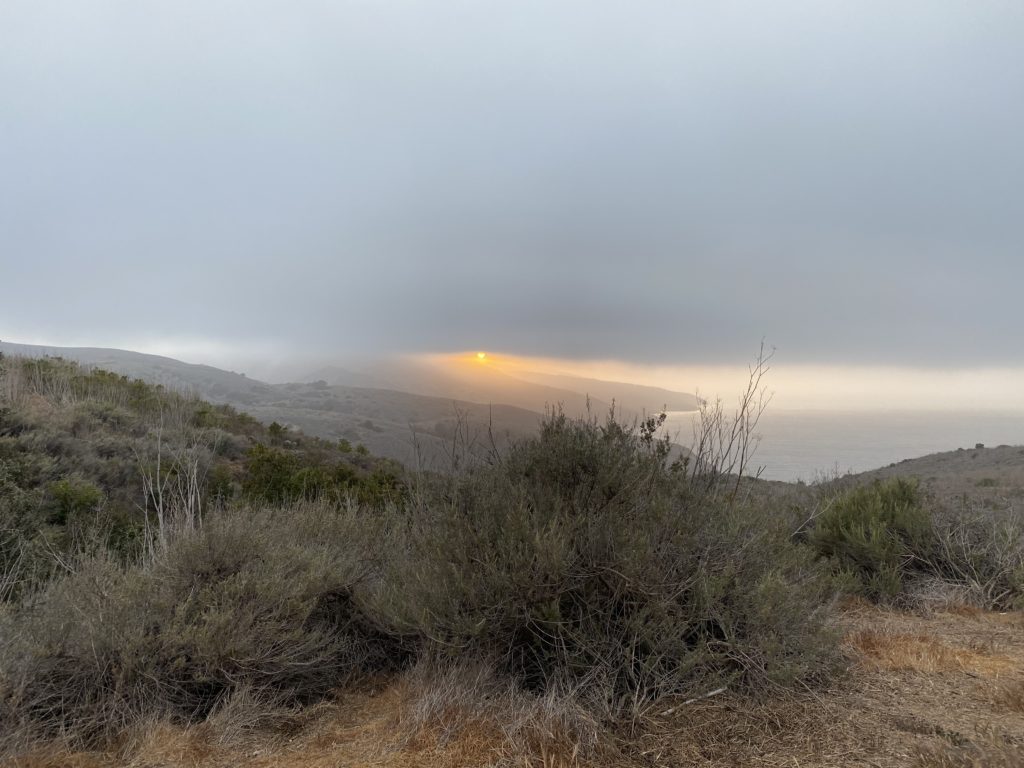
We made our way back onto the Del Norte Trail and began heading east until we reached the junction with the trail down to Chinese Harbor. From there we would connect with the East End Road and continue on. While we mostly were gaining elevation along the way, we did have a couple of ravines that dropped through. Although we each were lighter by 2 liters, our packs were still a bit heavy. The fog and clouds were all around us as we made good time.


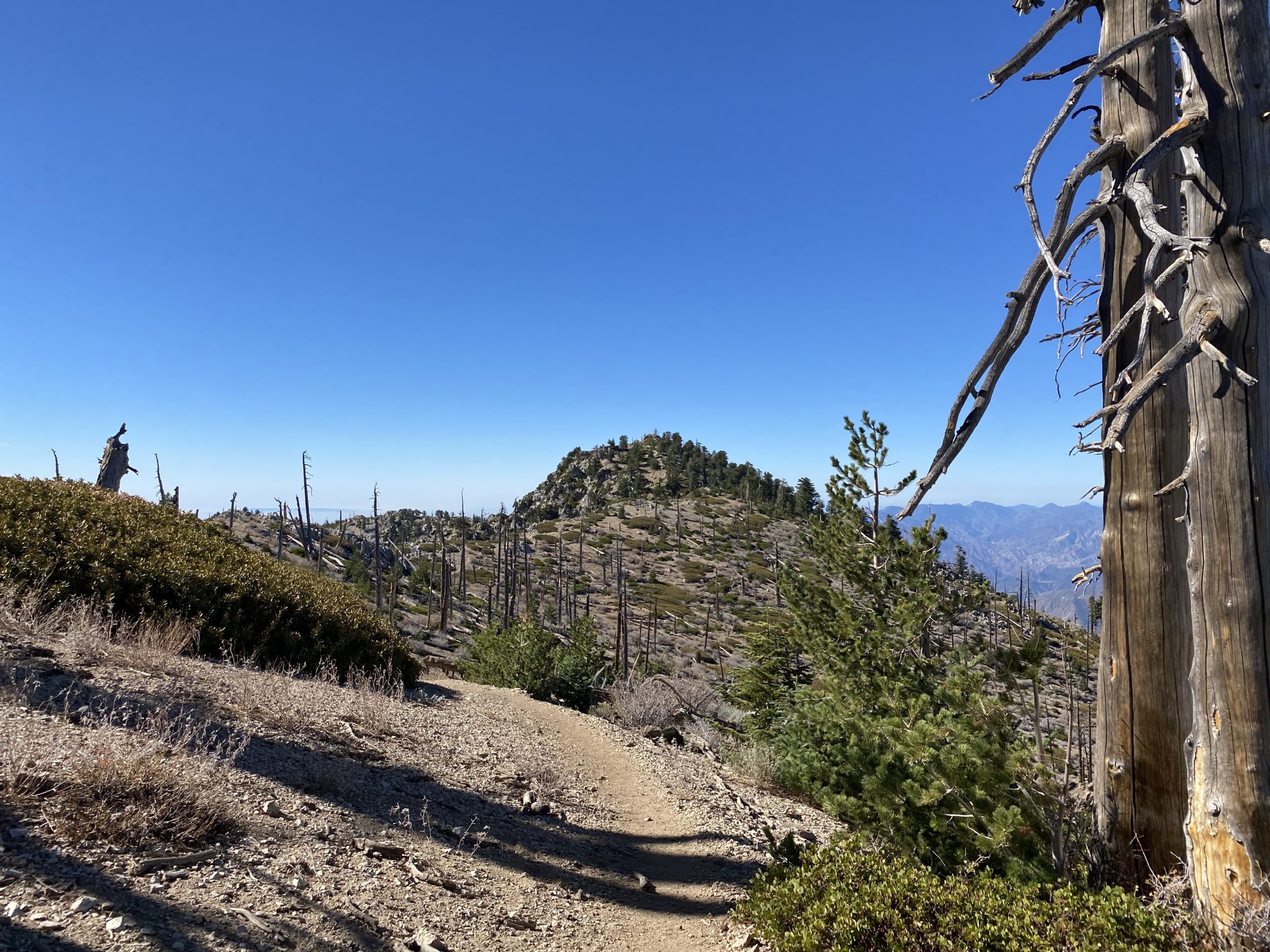
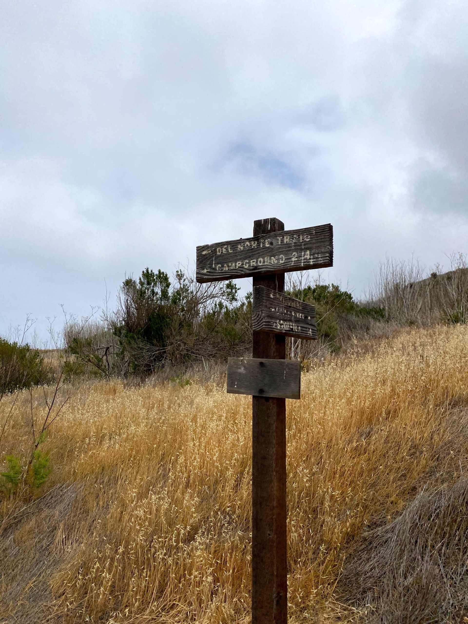
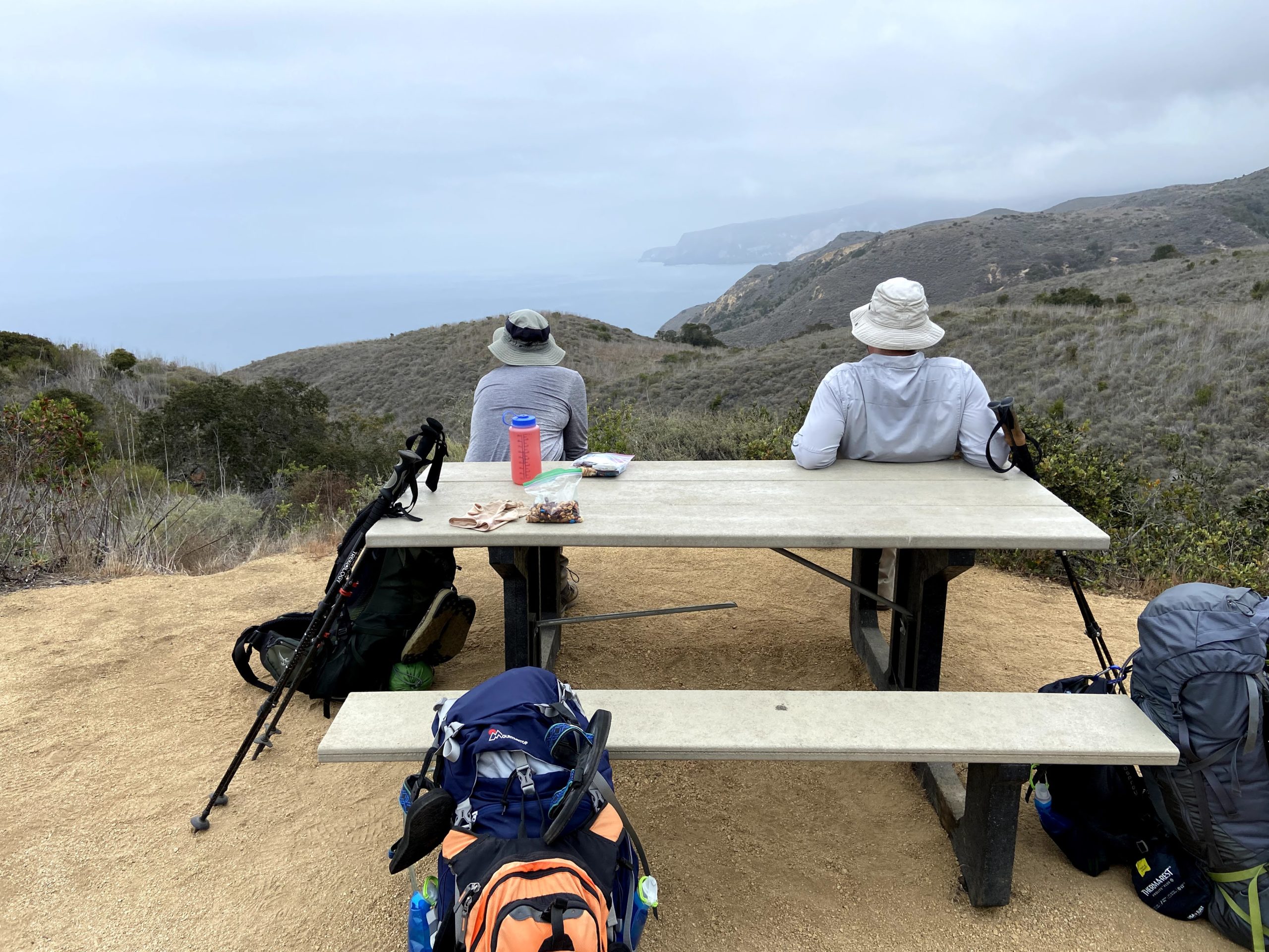
After about 4.5 miles or so, we came to another picnic bench. This one had seen better days, but it served as a welcome rest stop. We had a bit of uncertainty about the correct route, as Gaia showed a fork in the road, which we did not see. Ted H. and I scouted around and determined that the remaining road that we saw before us was the correct route. After a few minutes of traveling, we spied the overgrown road that we did not want to have taken. The Montanon Ridge stood before us. We debated which of the bumps was El Montanon, the peak I had hoped to summit. The road ended and our route returned to single track. We would now make the climb up the ridge. The Teds were a bit uncertain, but I knew that we would be fine.


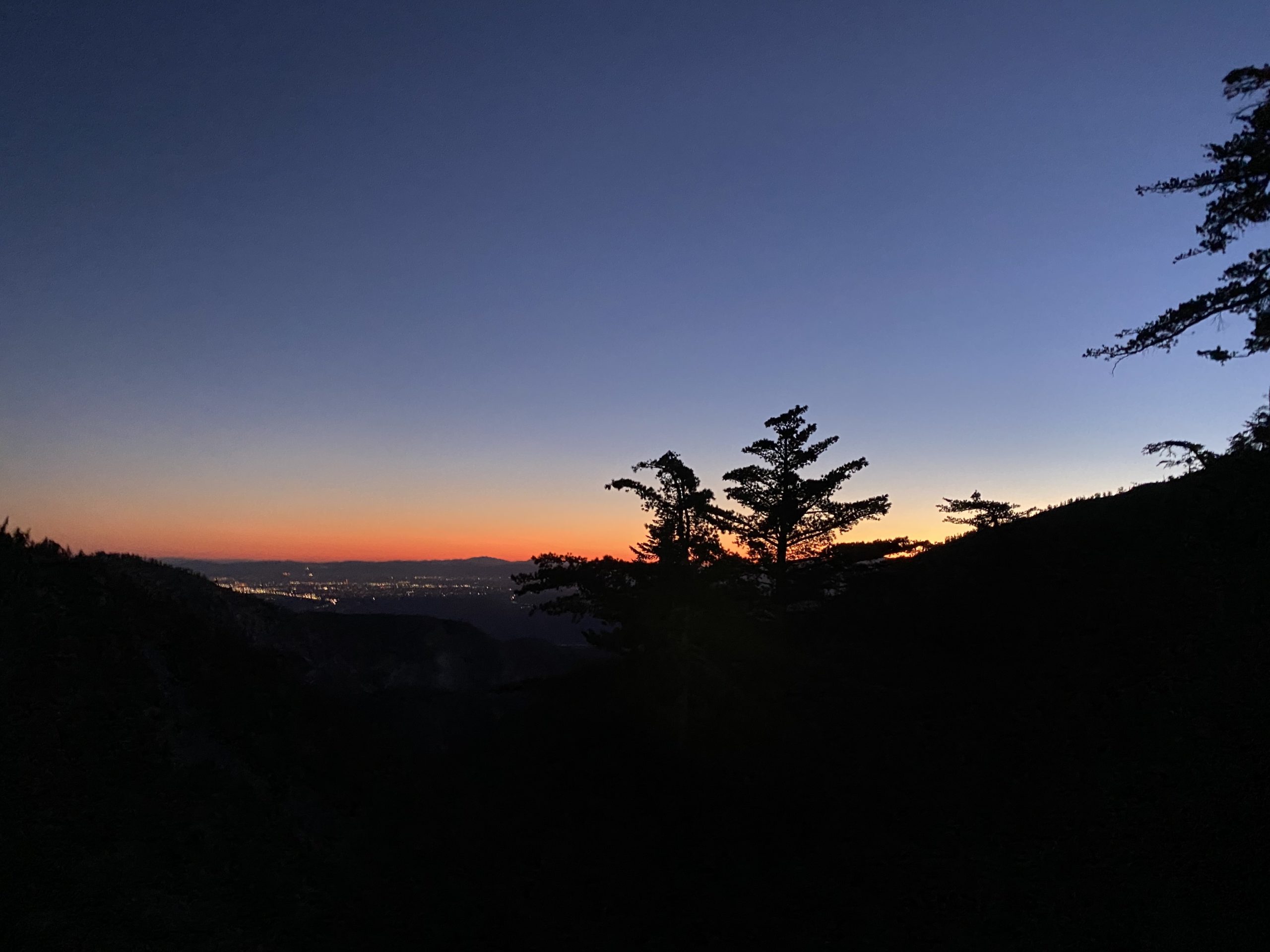
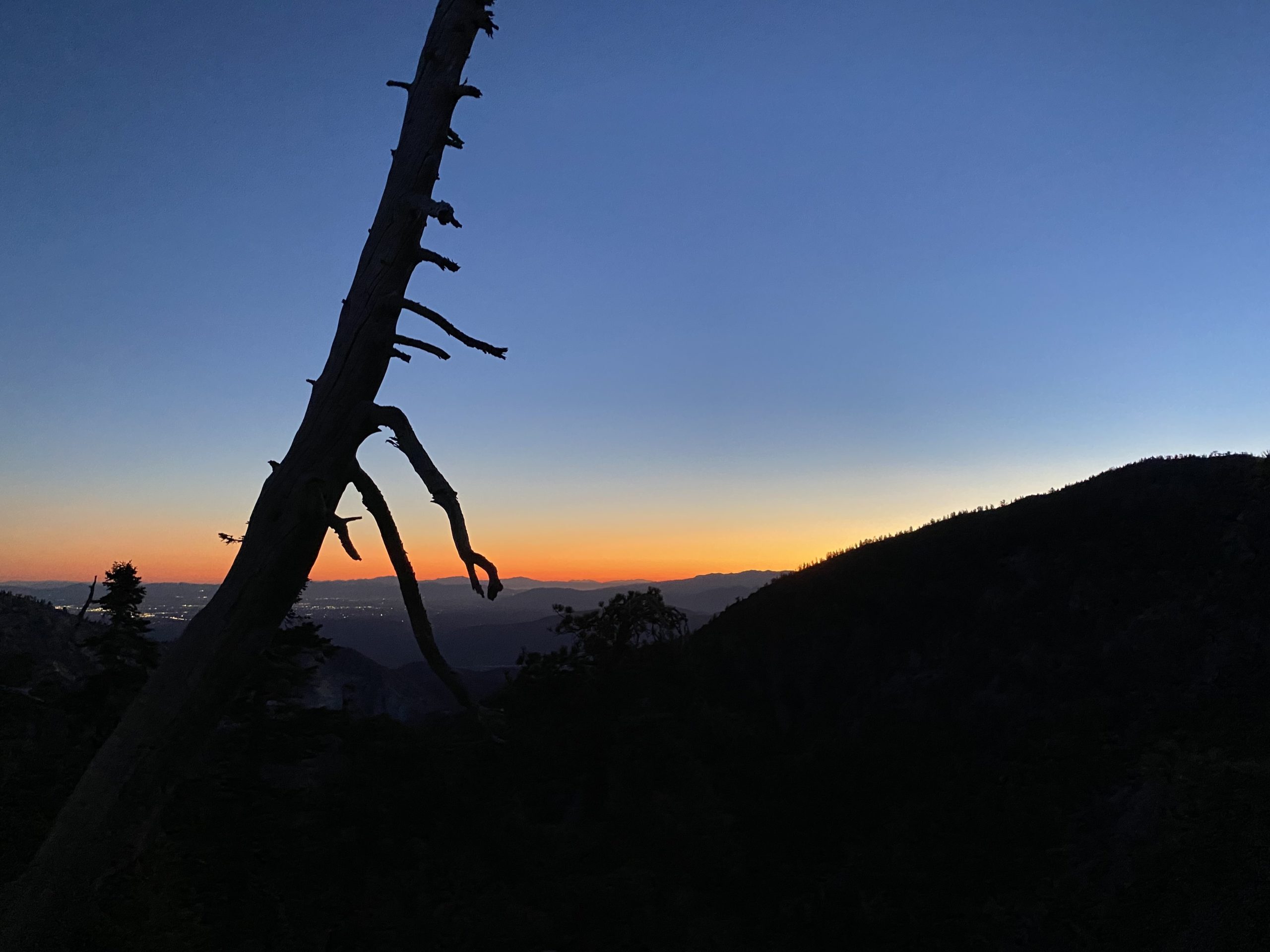
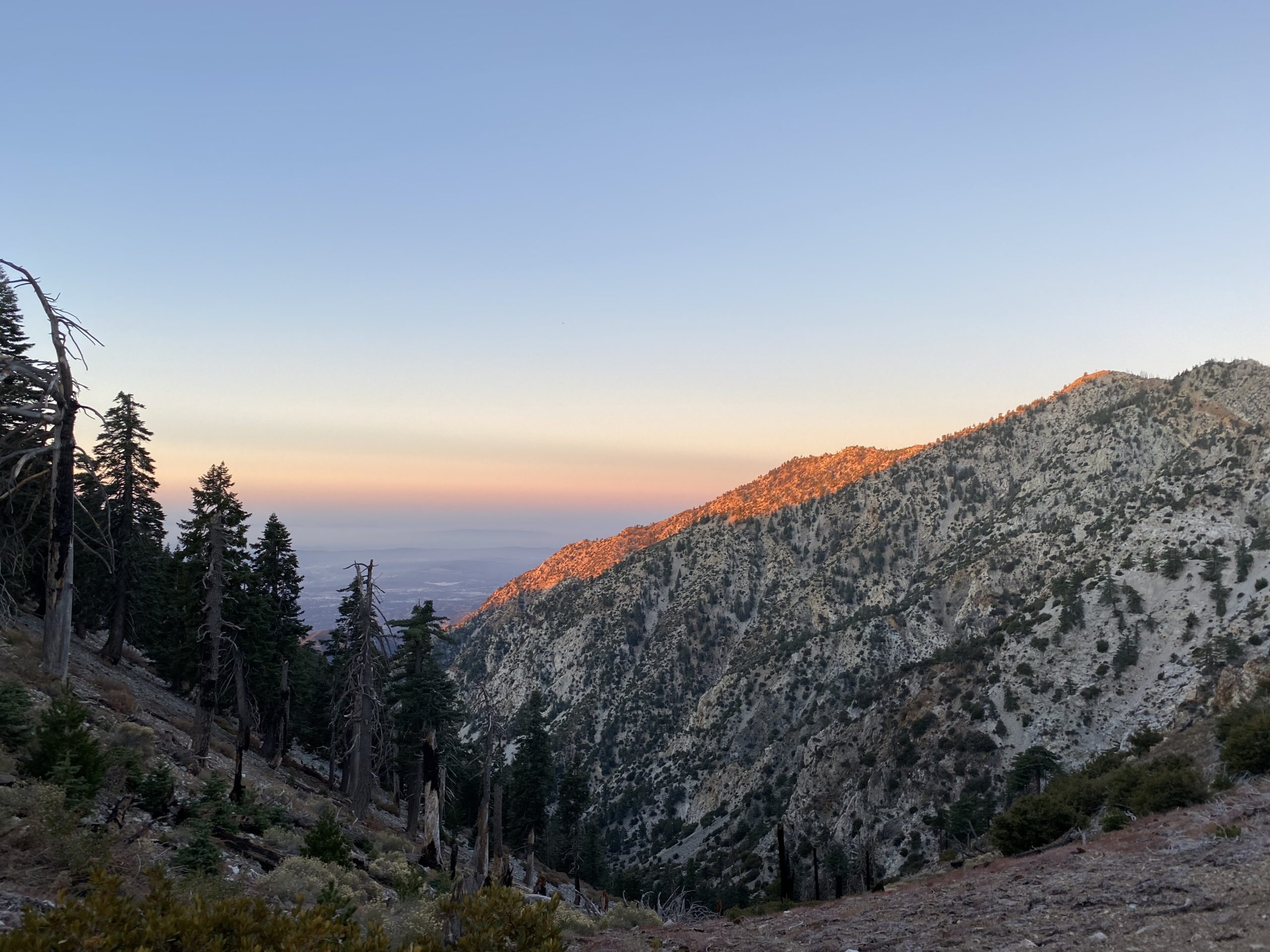
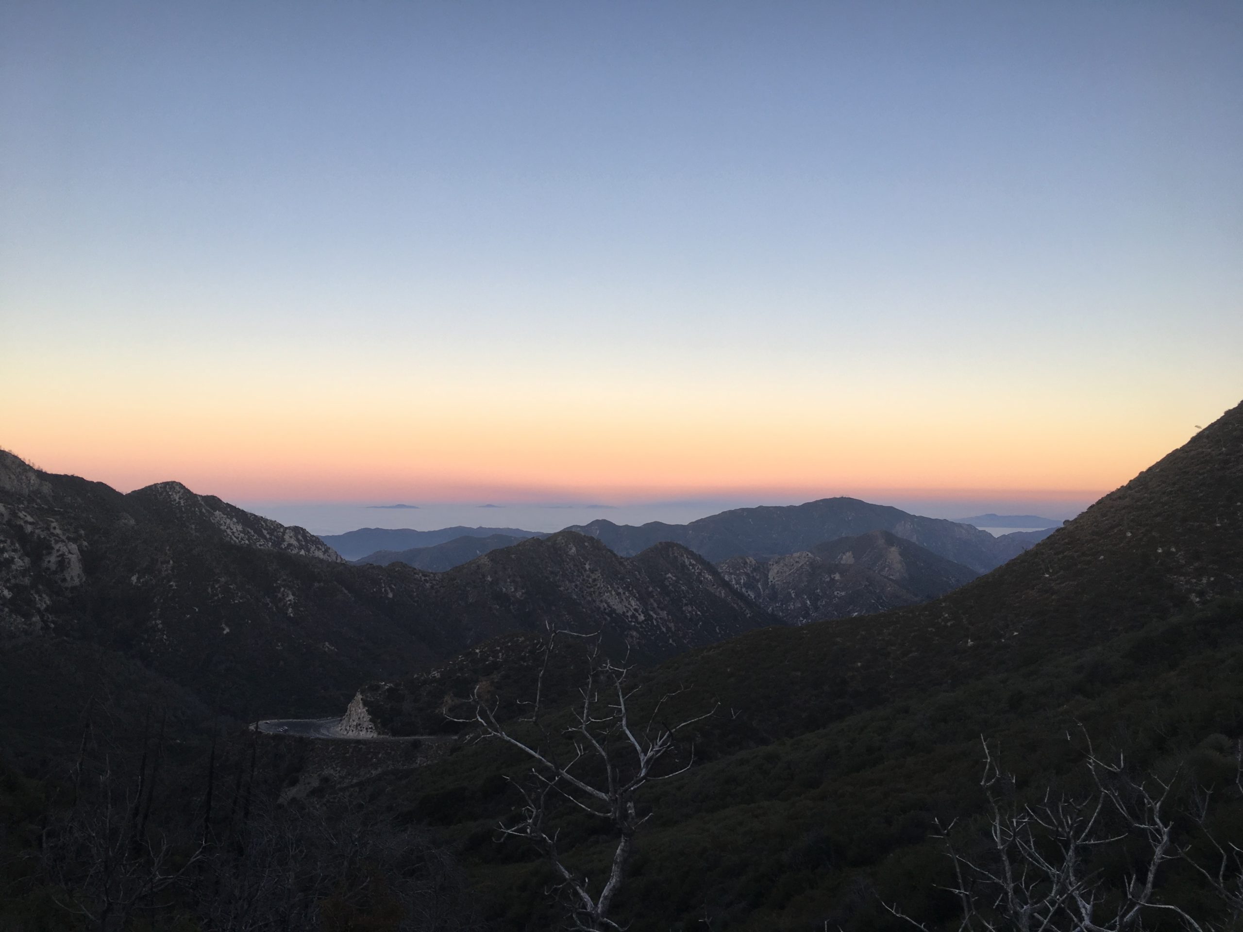
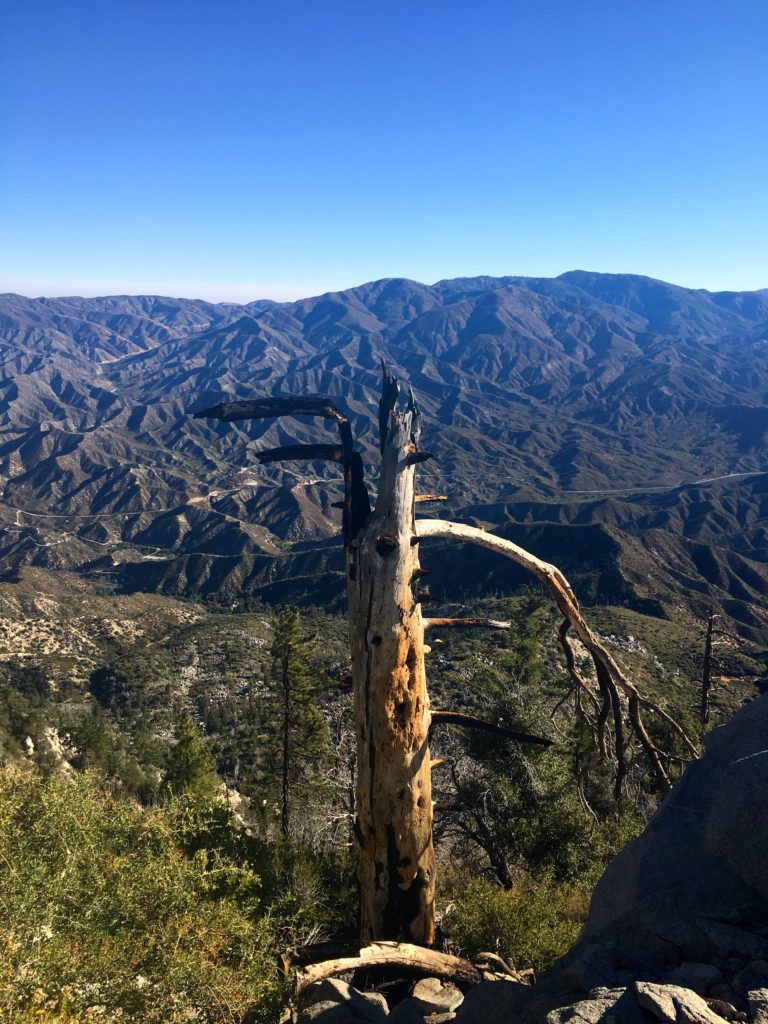
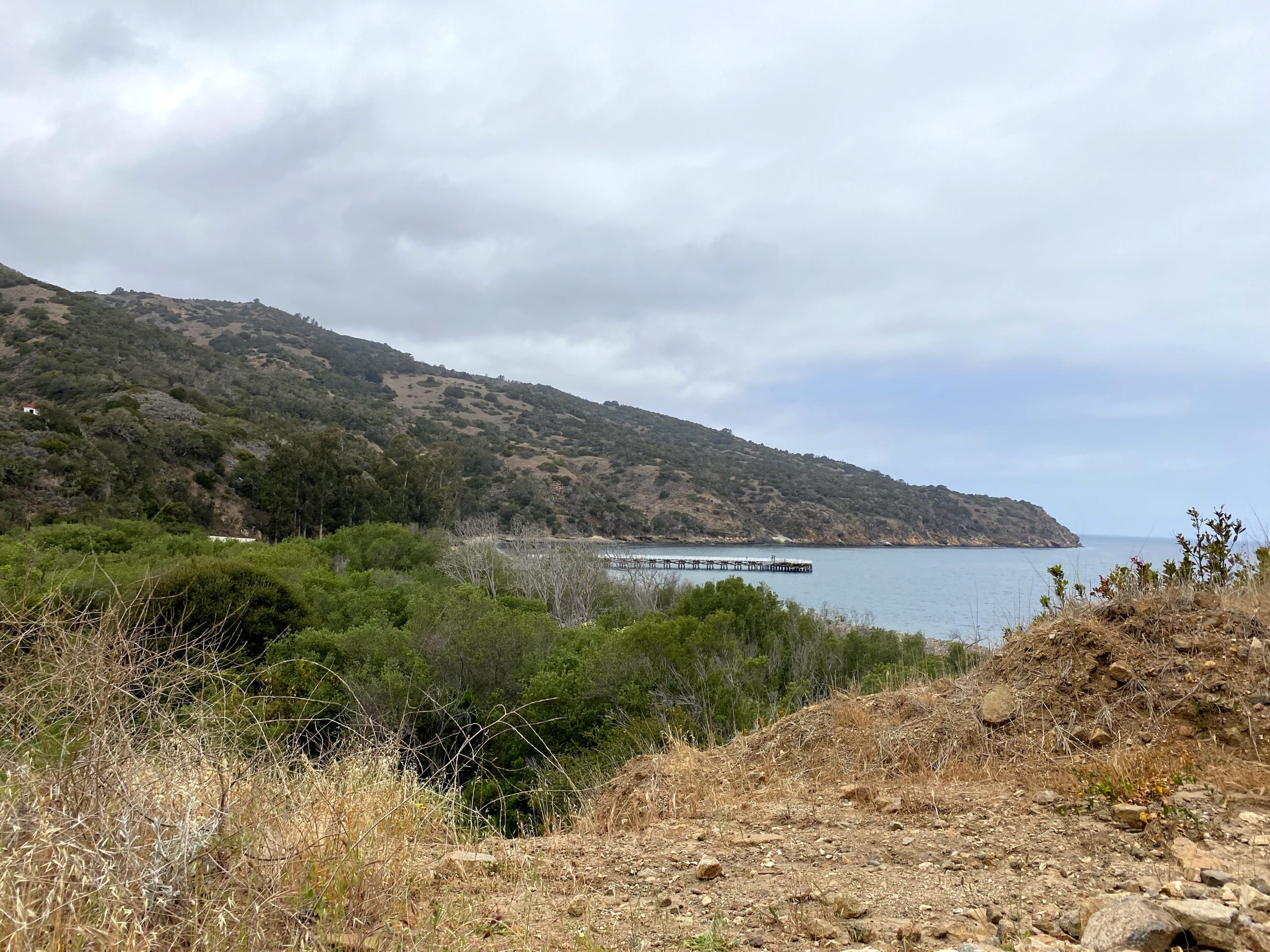
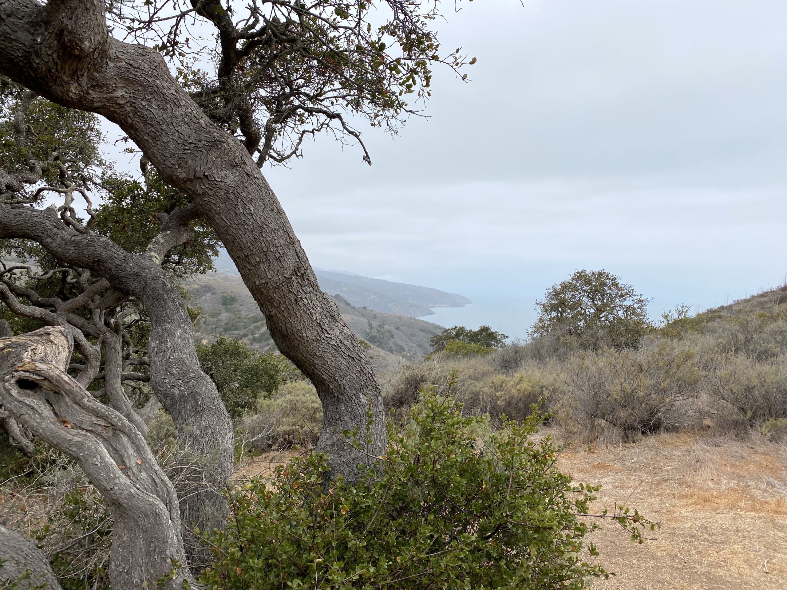
We carefully made our way up the steep slope, given we did have backpacks on and our center of gravity was shifted. Once past the ‘hard’ part, we stopped and surveyed our ascent. Off to the side, a short use trail leads up to a viewpoint. Sadly, the fog and clouds hid the view, but it still made for a great photo op.


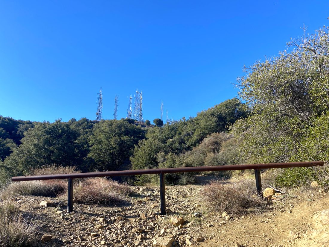
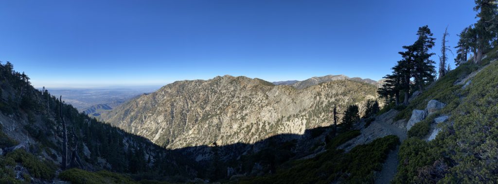
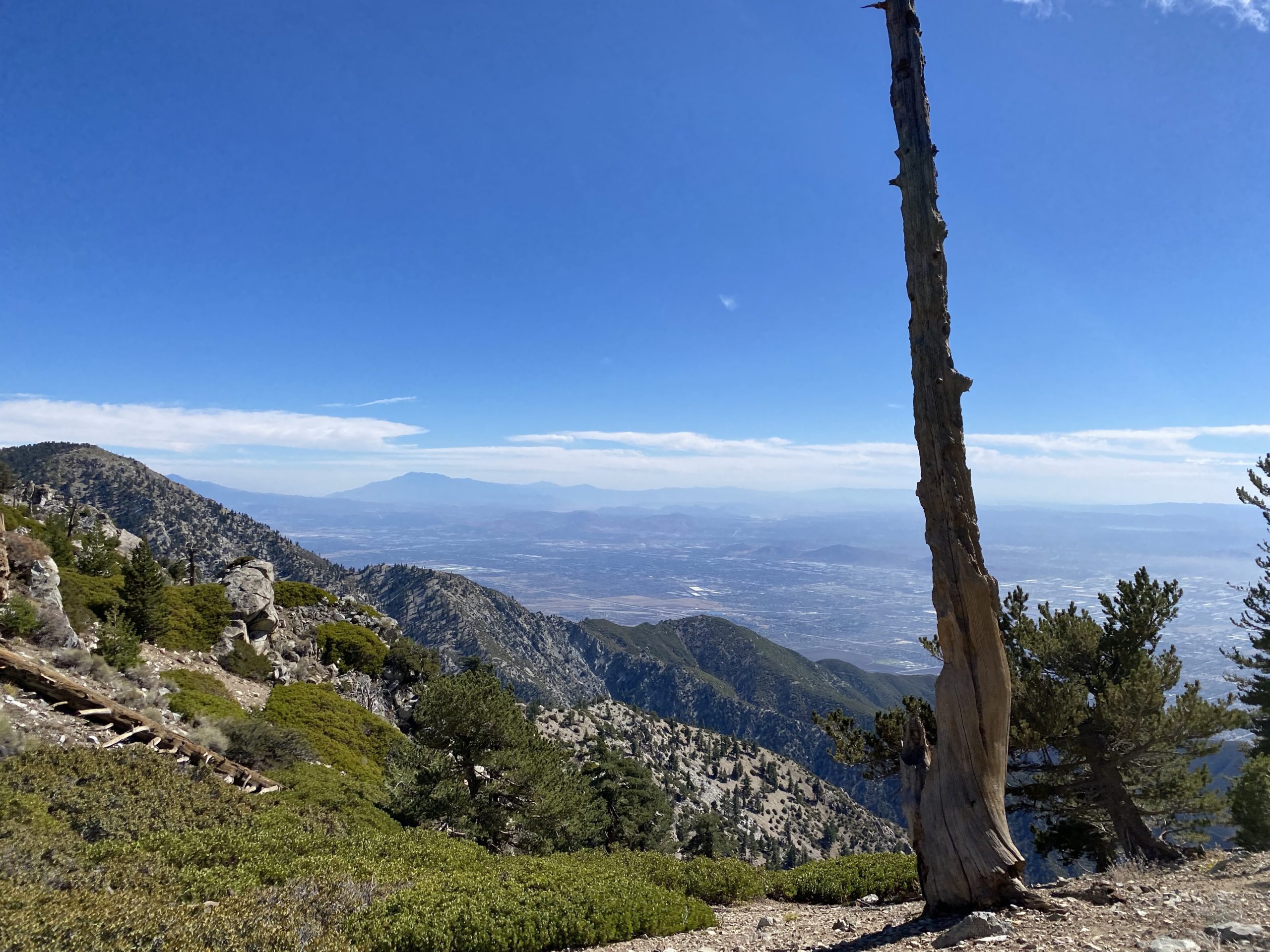
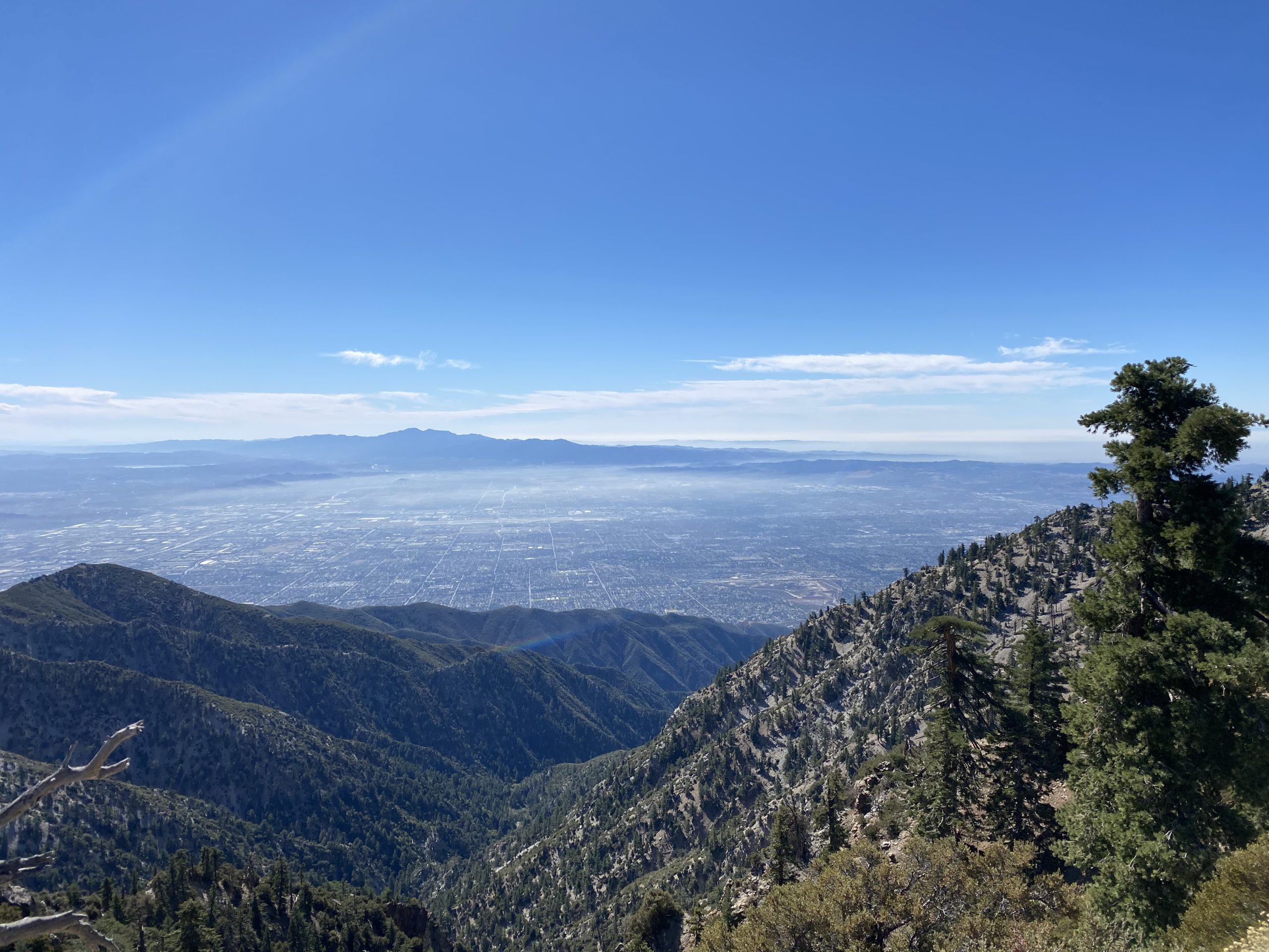
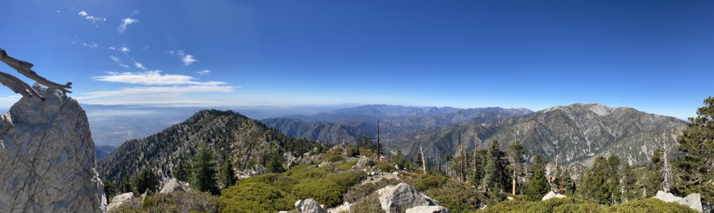
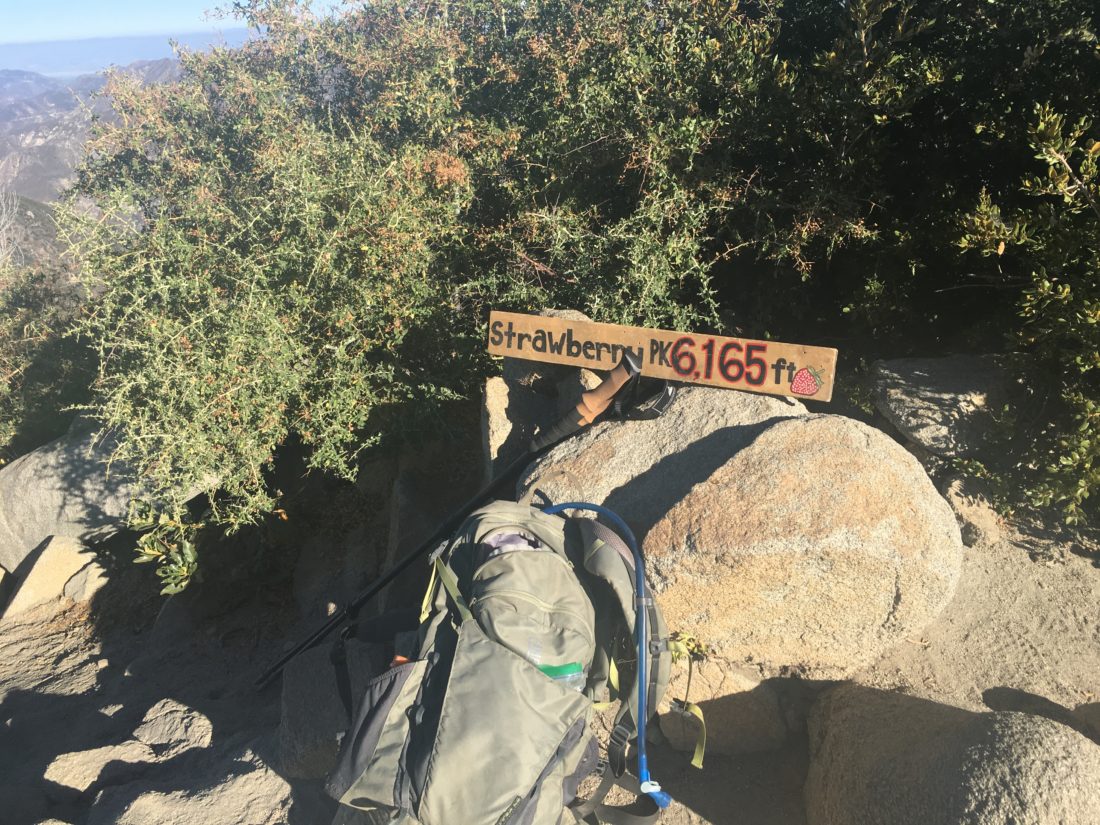
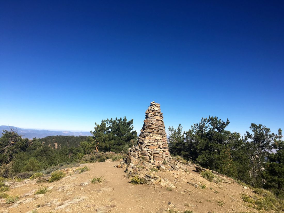
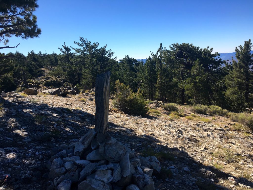
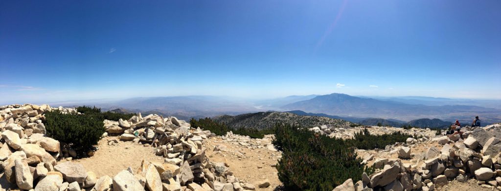
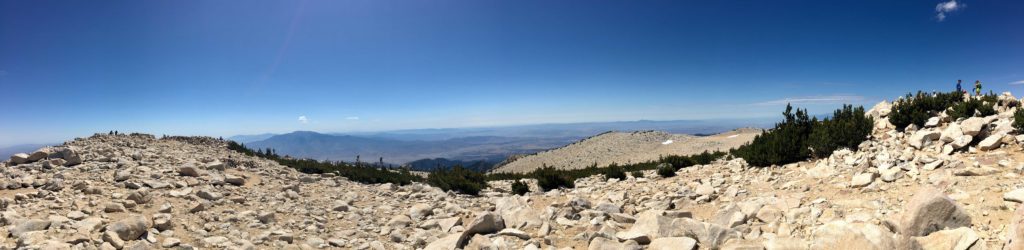
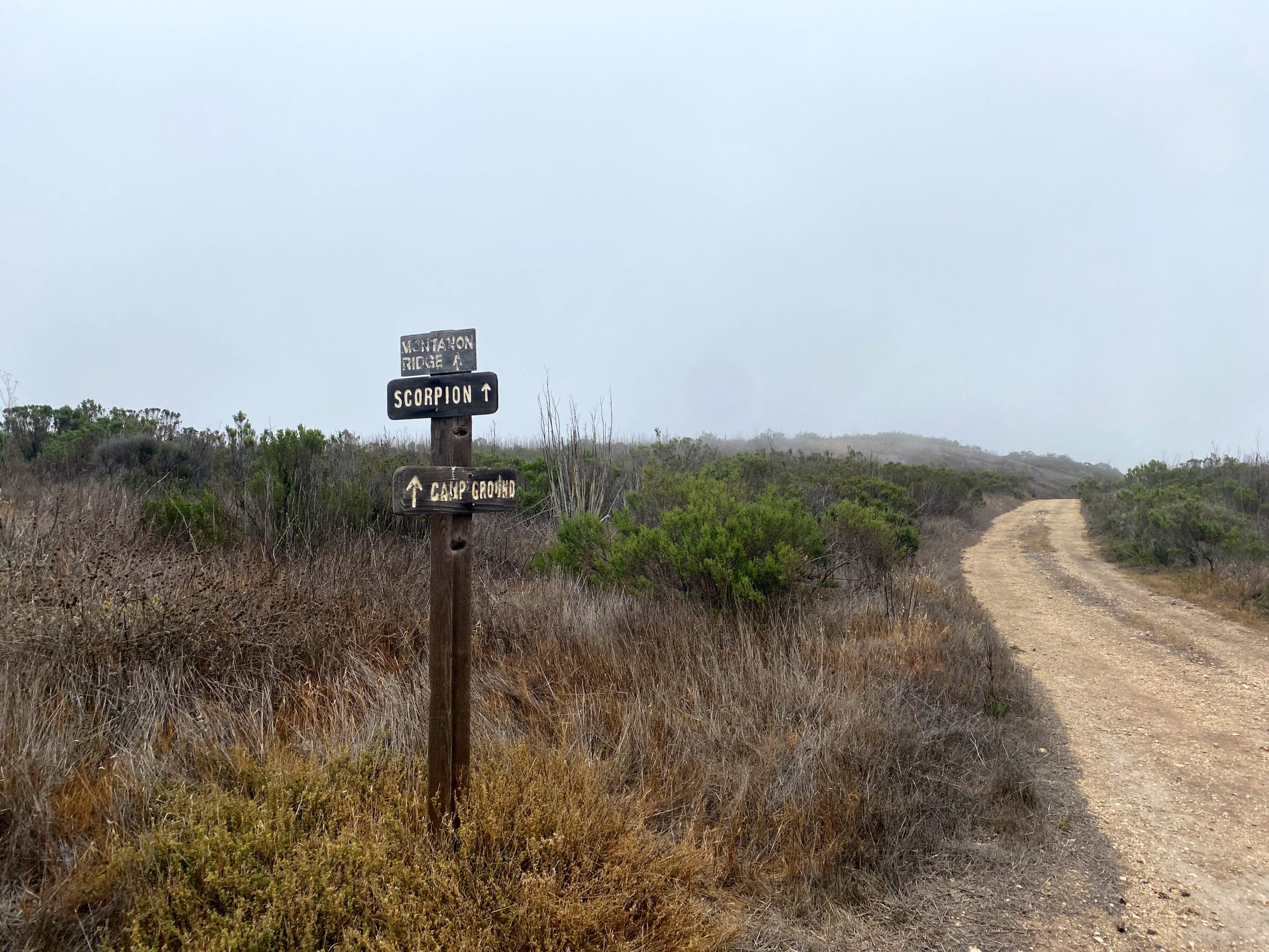
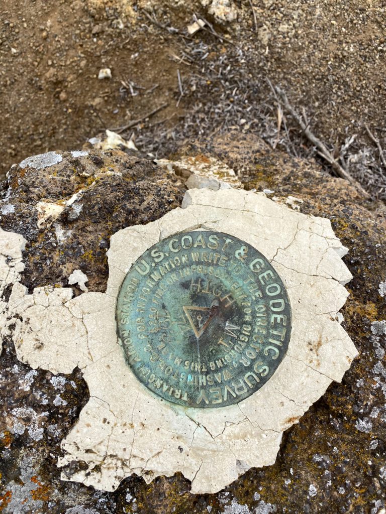
From there we continued on until we met up with the main trail. Looking off the east, we could see Anacapa Island in the distance. To our left, the main trail would take us down to the campsite for the evening. Off to the right was the use trail up to El Montanon. Looking at the map, this would be about .6 miles to the summit without too much gain. The reason I wanted to climb this summit as it is part of the Lower Peaks Committee list. This is one of the peak lists that I am now turning my attention to. In fact, it is known as the most expensive peak on the list. We followed the ridgeline, drawing close to a research station and its tower. However, the actual peak was one bump further. We were rewarded with some incredible views. Once at the real peak, we did not find a good spot for lunch, so we returned to the research station. After a nice break, we heard some day hikers making their way toward us. We greeted them and pointed out the location of the benchmark.


Once back at the junction, we opted to head toward another peak listed on Peakbagger — High Mount. This was an even shorter jaunt. While the main trail was just below us, the slope on the use trail was a bit too much, so we backtracked slightly. Now we had about 4 miles to descend to our campsite, where we’d find water. As we continued on, we would pass more hikers that had ventured up from Scorpion. It was quite the difference between the three of us with full backpacks and those just with some water.
The remaining miles went fairly quickly. We did have to decide if we wanted to enter via Upper Scorpion or via the route near the ocean. Upper Scorpion won. We passed various group sites, and there were a few solo campers as well. One camper inquired if we had come from Del Norte, and we said yes. She asked about the trail and its difficulty, as she was planning to hike over to it tomorrow. After giving her some details of the day’s hike, we wished her luck and continued on. We all thought about all the water she would be lugging.


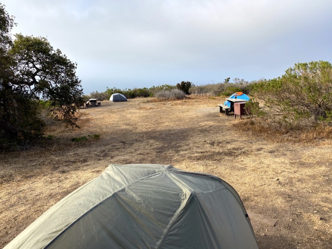
We found our site and set up camp. We also enjoyed the fresh cool water from the nearby spout. I pulled out my water bladder from my pack and found it still had a liter left. After a rest, we went for a stroll down to the shore and actually had some cell signal. We checked in with our wives and did some other online things before heading back to our camp and having a well-earned dinner. We again sat around the table chatting for some time. Since two of the nearby sites were open, we borrowed one of the “bear” boxes to store our packs, as Ted H. and I have smaller tents.


Anyone who has camped knows that when the first light comes, you tend to wake up. Our last morning was no exception. Our ferry was not slated to arrive until 4, so we had almost a full day to explore. After a leisurely breakfast, we grabbed our slack packs and headed off toward Potato Harbor and Cavern Point.


We climbed up a draw near the edge of Lower Scorpion toward the bluffs. From there we followed it out to the Potato Harbor overlook. Although the skies were still overcast, we had some incredible views. We met a few fellow day hikers along the way. Upon our return, we went out to Cavern Point for some more of the incredible coastline. We then made our way off the bluffs and back to camp. We realized we had technically missed our check-out time, so we hustled back and broke camp. While someone had set up, we never saw them to apologize for not leaving on time. The nice thing about Scorpion is it has a lot of room for tents, so hopefully, they were not too impacted. We walked down to one of the other picnic tables near the pier and had lunch. We poked around the area, wandering through the visitor center and the other kiosks scattered around.


The ferry arrived on time and we walked down the new pier to board. In fact, this pier had only been open since January. On our return, we encountered more dolphins. The captain said we had a pod of about 200 around us, jumping and playing in our wakes. Shortly thereafter, we spotted two humpback whales — a mother and her calf. We watched them for some time before returning to our course and the harbor.


Once back at our cars, we changed into clean clothes and set off for dinner. It was a fantastic three days. Now to plan for my next backpacking trip!
Final Stats
Day 1: 3.1 miles, 1,100 feet of gain, 1:43 hrs
Day 2: 11.6 miles, 2,000 feet of gain, 6:43 hrs
Day 3: 5.1 miles, 652 feet of gain, 3:11 hrs


I am an avid peak bagger, sometimes backpacker, and former sea kayaker living in San Diego. I am the co-author of Urban Trails: San Diego, coming in Spring 2026!
In 2019, I became the third person to complete the San Diego 100 Peak Challenge. Not stopping with that accomplishment, I set my sights on the harder San Diego Sierra Club 100 Peak list, which I completed in 2021. In addition, I have conquered several Six-Pack of Peaks challenges (SoCal, San Diego, Central Coast, and both the Arizona-Winter and Arizona-Summer).
I am looking forward to exploring new summits and new adventures across the southwest.