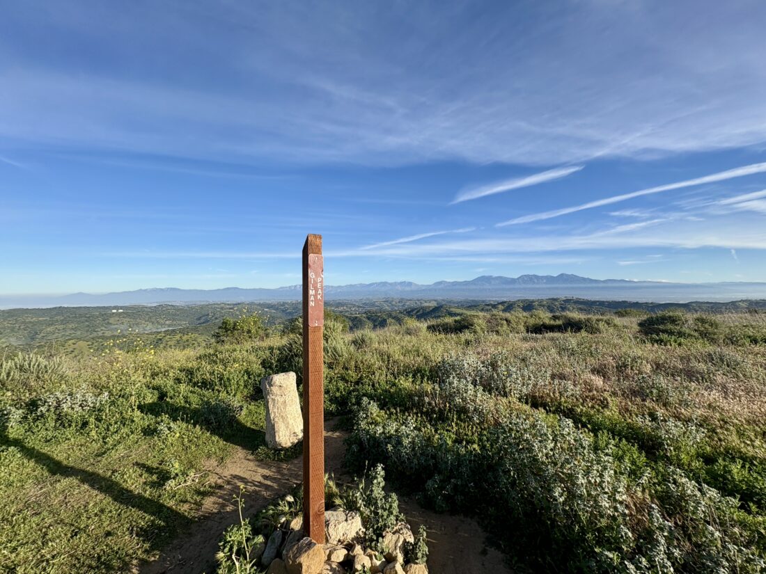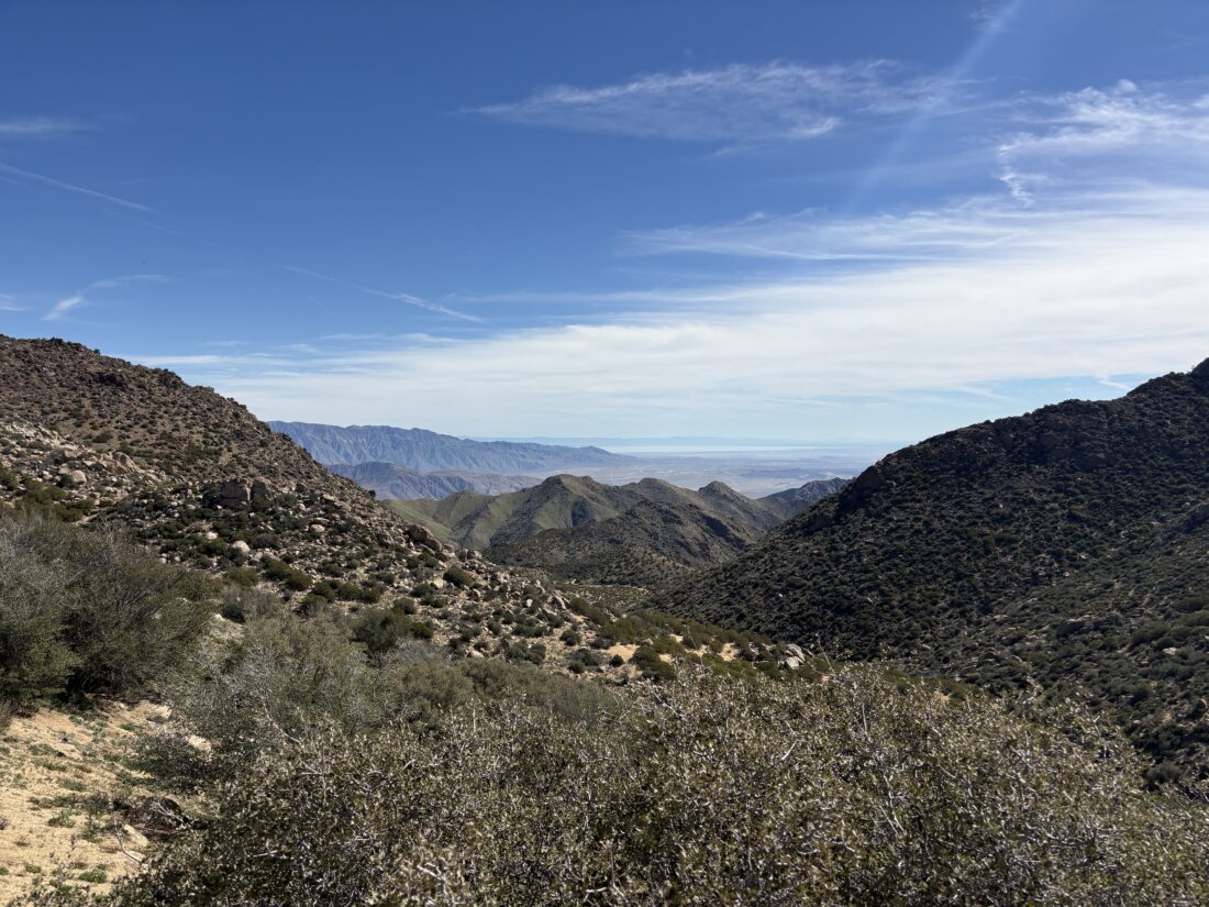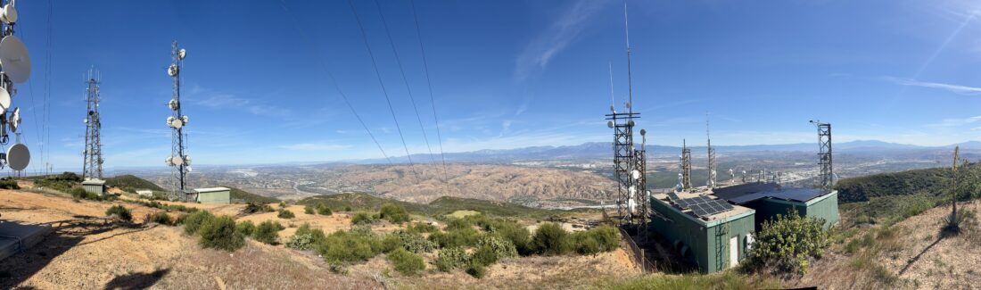
I decided to try and knock another peak off the Lower Peak Committee list by climbing Sierra Peak near Corona. The drive up went quickly; I missed my usual breakfast, as it is Passover, but the large coffee from McDonald’s still helped. I parked at the trailhead and set off and I could spy the communications towers up at the summit. The trail did not waste any time and began climbing. Various wildflowers were still present as I worked my way up. I knew from trip reports that I had some pretty steep sections ahead of me, and they were not kidding. I was not looking forward to descending these sections later.


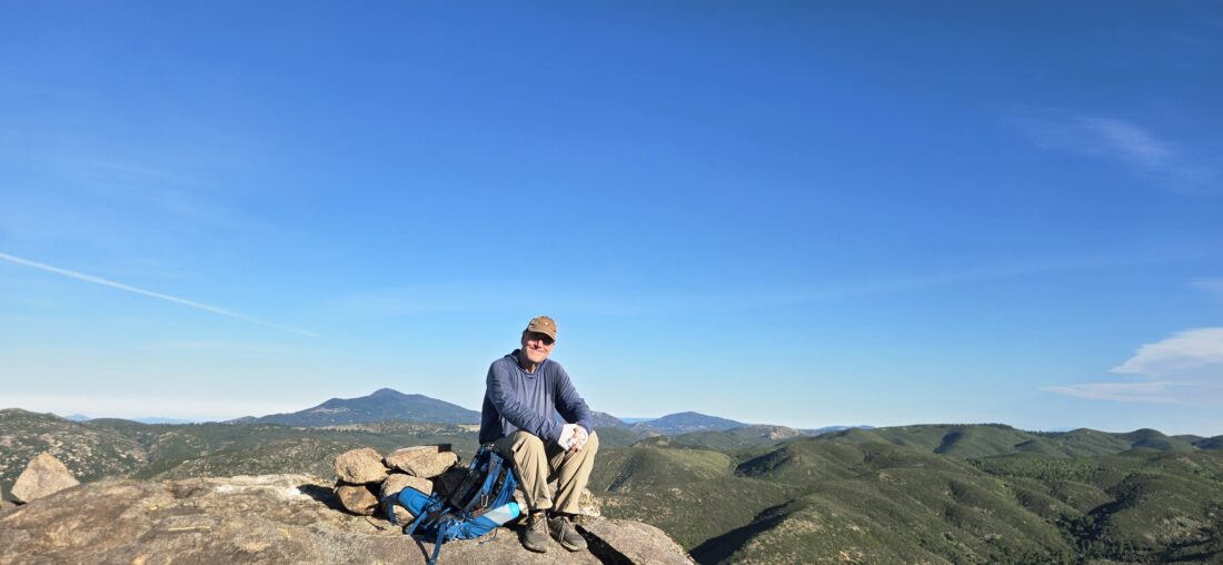
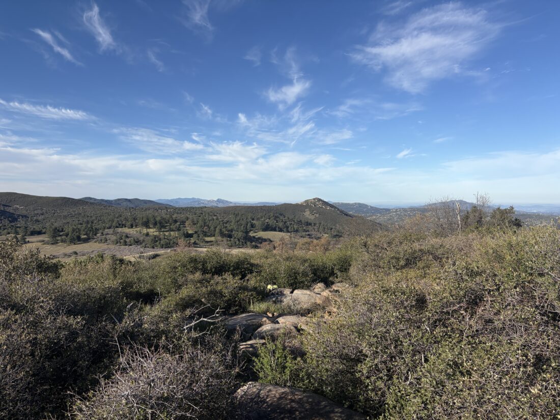
A nice breeze helped offset the warming day, as well as keep any bugs away that might be around. After the third steep section, I spied the service road (aka Main Divide) and knew that the summit was drawing near. A mountain biker was taking a break as I reached the road. We chatted for a bit before I cruised on toward the summit. Once there, I found a spot to enjoy a snack and the views.


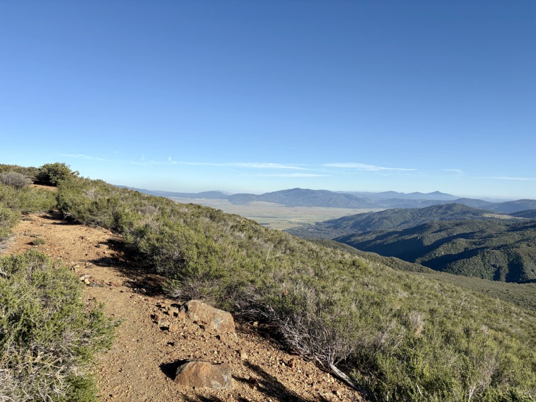
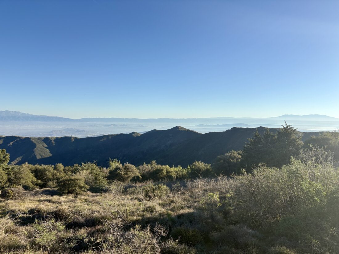
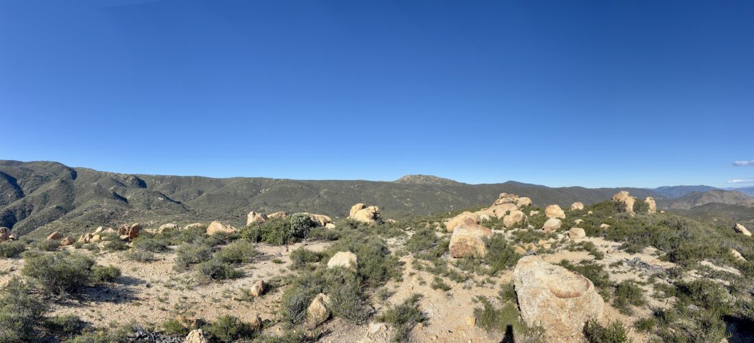
After snapping some photos, it was time to head back down. While the views of the inland empire were stunning (except for the almost complete lack of snow across the mountains), I needed to be very focused on my descent. Not only was it steep, but the footing at times was less than ideal. Thankfully, I survived all the sections without landing on my rear. Along the way, I did stop to photograph the various wildflowers I enjoyed on the way up. I also spotted the rusty frame of an old car I had missed before. Soon the houses came back into view, and I knew I was almost done. That was my 29th peak off the list. The hike was 6.5 miles with an elevation gain of 2,286 feet. I was up and down in 3:38.


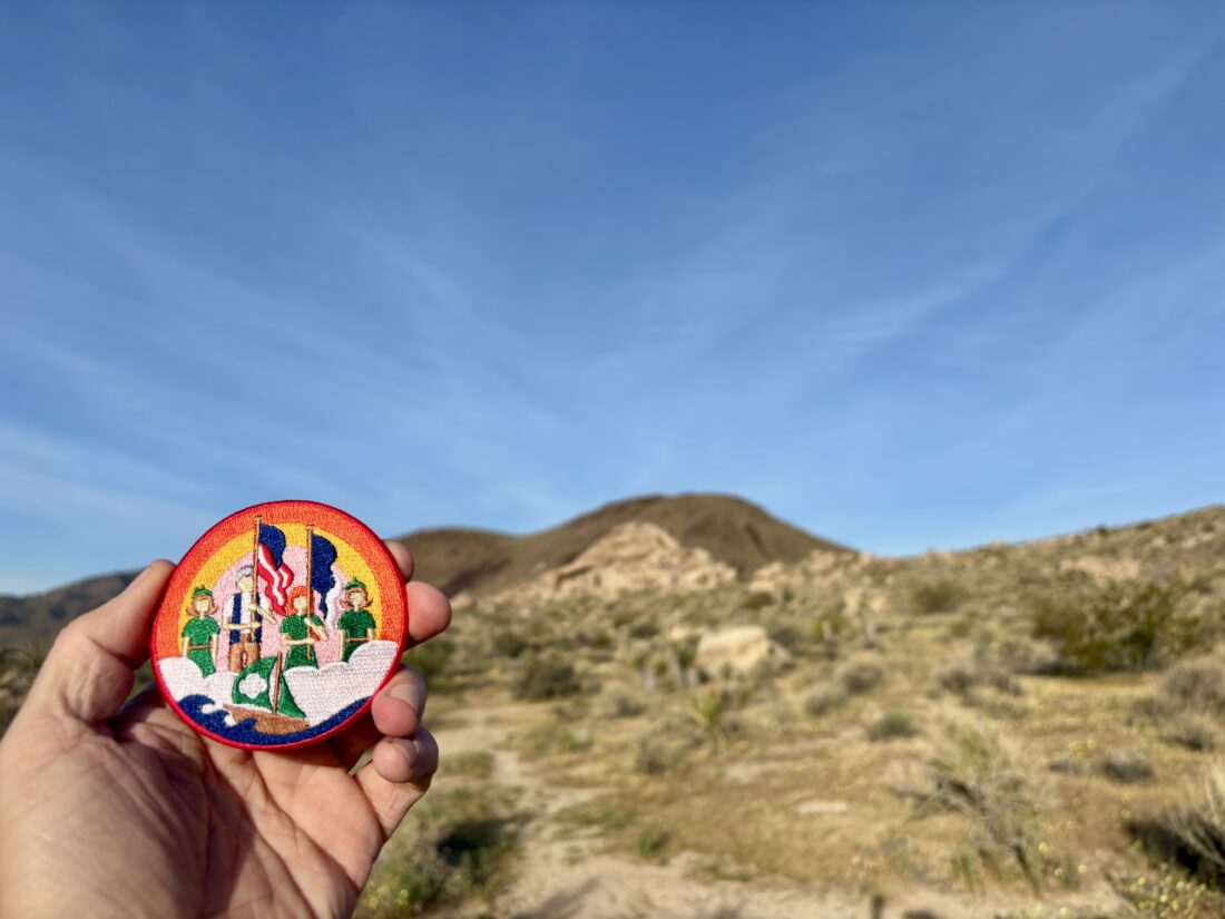
I am an avid peak bagger, sometimes backpacker, and former sea kayaker living in San Diego. I am the co-author of Urban Trails: San Diego, available now!
In 2019, I became the third person to complete the San Diego 100 Peak Challenge. Not stopping with that accomplishment, I set my sights on the harder San Diego Sierra Club 100 Peak list, which I completed in 2021. In addition, I have conquered several Six-Pack of Peaks challenges (SoCal, San Diego, Central Coast, and both the Arizona-Winter and Arizona-Summer).
I am looking forward to exploring new summits and new adventures across the southwest.