Trip Reports

Planning…

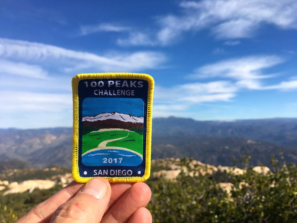
Well, since I just finished the 100 Peak Challenge, I thought I would offer some guidance to those who might be looking to attempt it in some fashion. I was able to complete it with a combination of luck and planning. Now, I can’t help you with the luck part but I can go into detail about my planning. Two factors that will have the most impact on how you do this challenge are the weather, specifically for those hikes in Anza-Borrego, and the difficulty of the hike. Remember just because the mileage is low, it does not mean those are easy miles (either of the Sombreros come to mind).

When I knew my first attempt at completing this challenge was not going to happen (due to my final peaks all being in the desert and it becoming too warm to safely hike them), I took a look at the peaks I would need to revisit. I grouped the 100 peaks into three categories: desert, in-town and general. The desert hikes were pretty self-explanatory. In-town hikes were any hike that it took less than 1 hour to get to the trailhead. General hikes were all the rest. Since the desert window had closed until the fall for me, I focused on the general hikes on the weekends, and the in-towns were before or after work, or if a full hiking day wasn’t possible. During the first attempt, I did many of these on the weekends. Now that I knew the trail, the difficulty, and was in better shape, I tried not to ‘burn’ precious weekends on them.

Another thing I was able to do was summiting multiple peaks in one day. While some are natural doubles, Lawson and Gaskill for example, once you know where the trailheads are, along with what the trail is truly like, you can start to combine them. For example, Manza Benchmark and Sheephead Mountain are about 10 minutes apart by car. But with a nice breather in between, these are doable in a single outing. Another thing I did was to have backup peaks ready to go. Routes loaded on my phone, paper maps printed and extra food and water. Sometimes a peak might not be doable, and/or if you are lucky you might be able to squeeze in a second or a substitute.

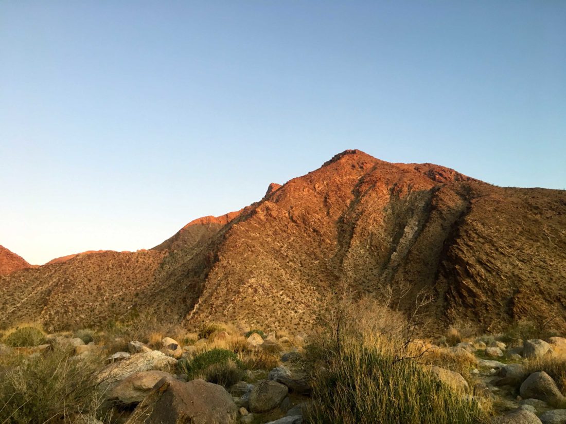
If you are starting the challenge now, I would focus on peaks out in Anza-Borrego. For some, desert hiking is scary, and often these peaks have no trail and take more skill than hiking up Iron Mountain or any of the more popular peaks. Here is what I would recommend cutting your teeth on:

Borrego Mountain – West Butte: Great trail to the top, easy to drive to (you get some intro to dirt driving). 

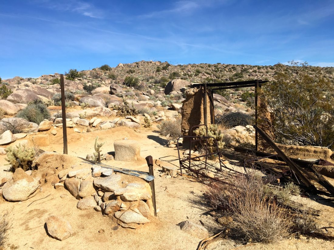
Ghost Mountain: A good trail to the homestead, then you get to test your navigation skills to the summit.

Mine Benchmark: Once you are ready for some trail-less desert adventures, this short hike is a good one.

Red Hill: The trailhead is right off S-2 and the route is pretty easy to follow.

Once you are more comfortable in the desert you can start in on some of the others, such as:

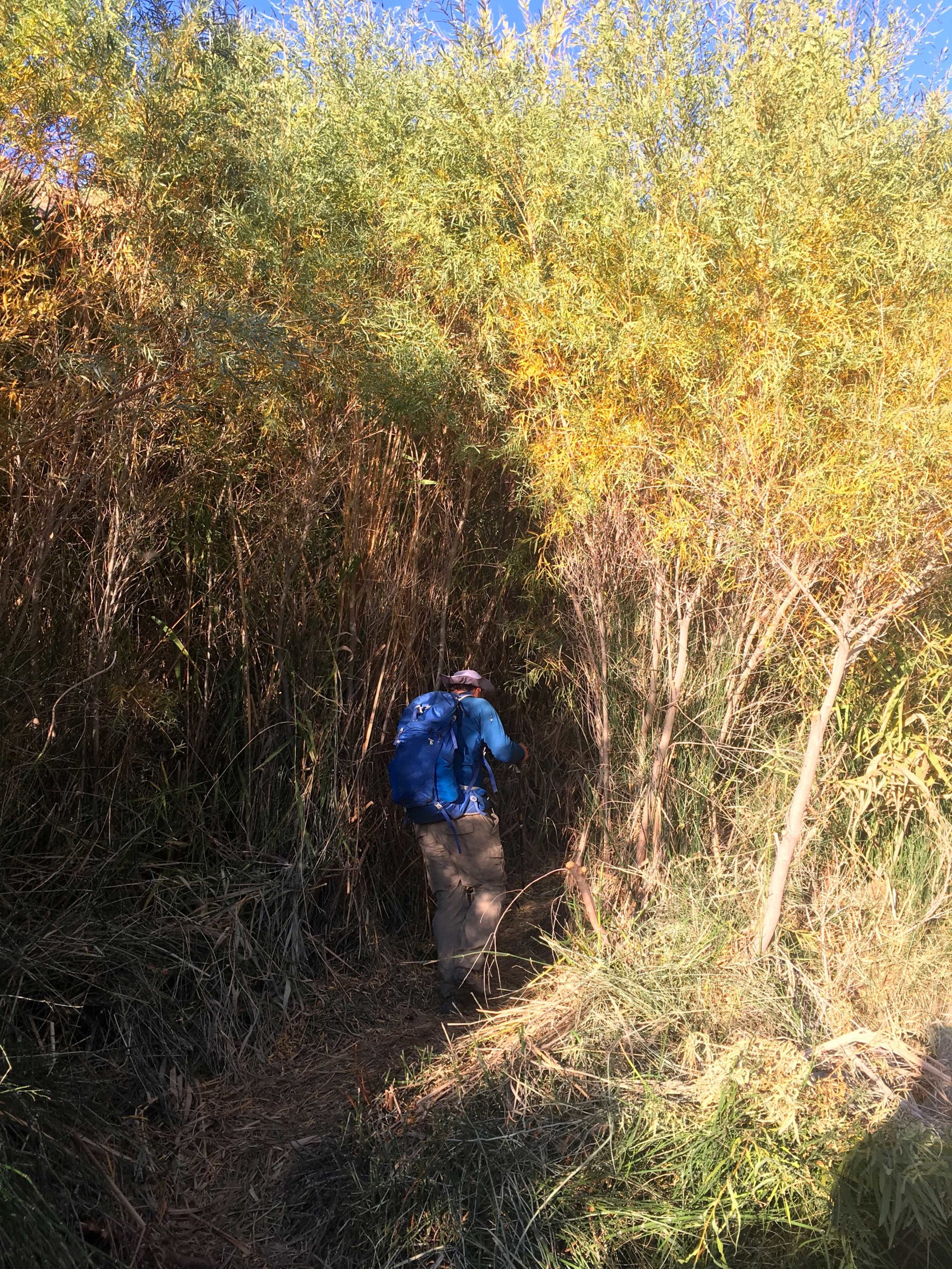
Sentenac Mountain: A bit of canyoning and dry waterfall before reaching the summit.

Piedras Grandes: A good intro into some of the terrain on other peaks.

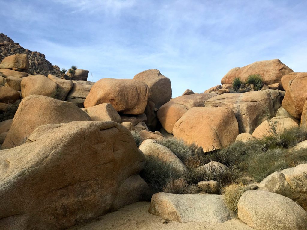
Indian Hill: A good intro into working through larger boulders.

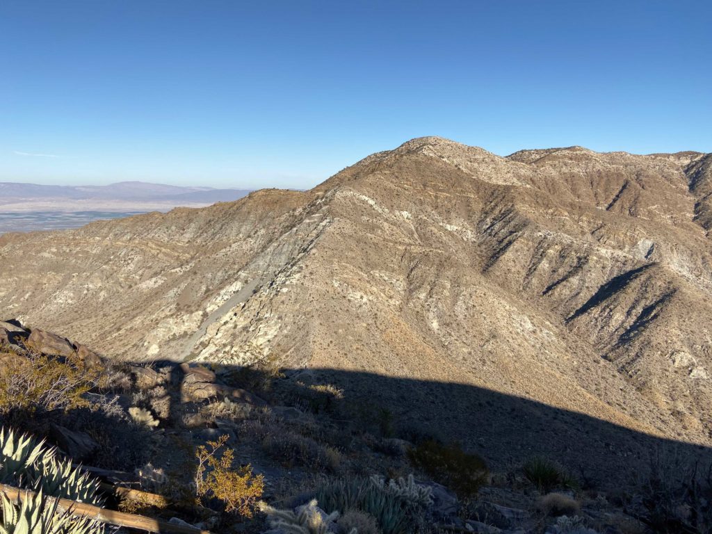
However, Anza-Borrego is also home to some of the tougher peaks on this challenge. Know that there are some that will certainly test you…

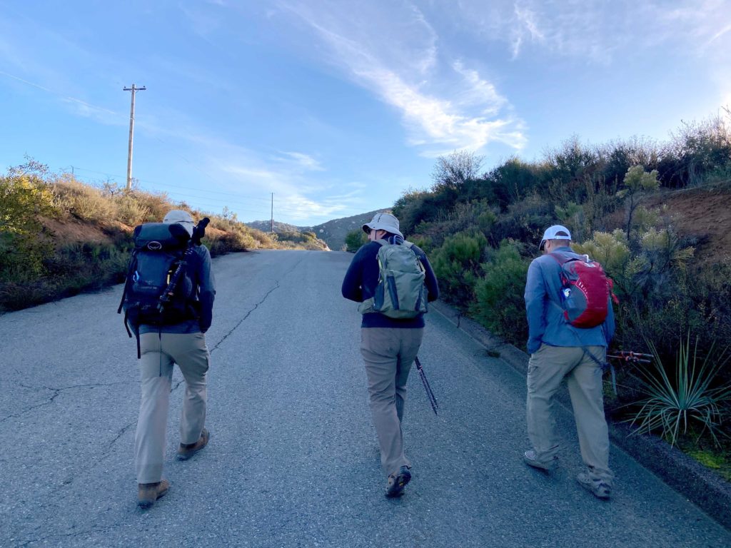
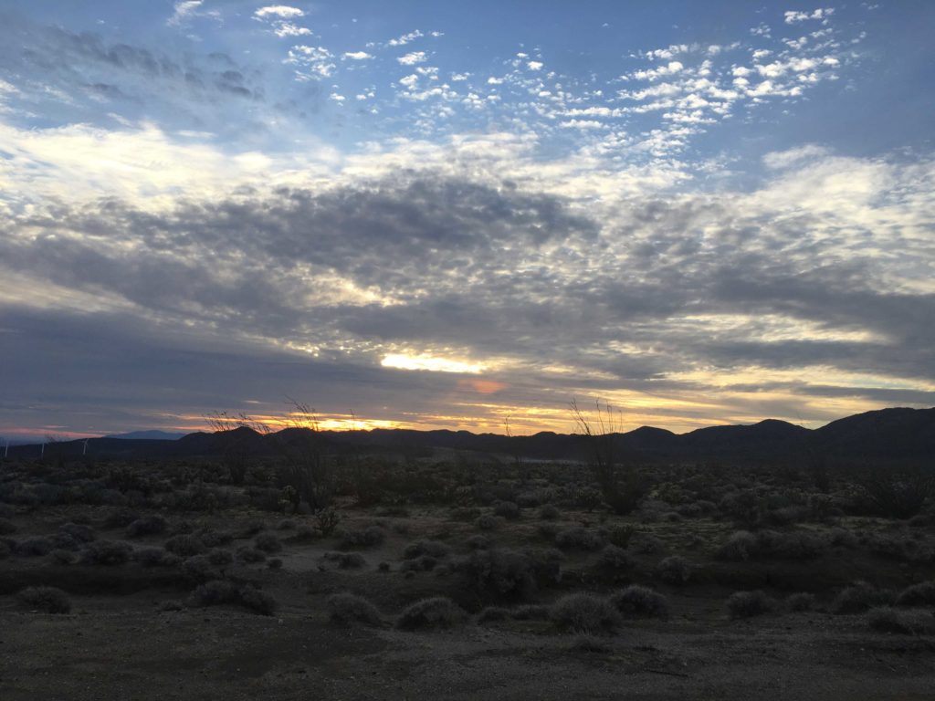
For the general peaks, the temperature is still a factor. There were several times I turned back from a summit due to the heat (during my first attempt). Knowing this will factor into your planning. There were many days with sunrises at the trailhead. I would recommend trying to get more of the inland and lower foothill peaks in the spring. One thing about many of the trails is the lack of shade, so you will feel the sun. Good examples of peaks that fit into this category are Mt. Gower, Monserate, and Gutaty. Another factor to be aware of is the hunting season. I had to be a bit more aware of my surroundings on some peaks near Julian during the hunting season.

If you are like me, you probably have done the ‘in-town’ hikes more than once. I tried to find ways to do them differently. Sunset hikes or full moon hikes are good examples of this. Plus, you can get some experience using a headlamp, it will be needed for some of the tougher ones. Also, look for alternate routes, remember it is only the summit that matters, not the trail.

Hope this helps some. Please feel to reach out and ask questions. All my routes are on peakbagger.com, so you can use them as a reference. 

100 Peaks: A recap…

For much of 2019, I have been wandering in the mountains of San Diego, sometimes alone, and sometimes with good friends. I have journeyed to these peaks in an attempt to summit 100 of them within the calendar year. As I approach the end of this journey, I have to pause and reflect upon it. When I am out hiking toward some distant point on a map, to sign some register or photograph a metal disc cemented onto a rock, there is time to think about life, family and friends. I realize that each step I take is a gift and these adventures are not to be taken for granted. Unfortunately, I am now of a certain age where mortality begins to show its unforgiving face. So, instead, I soak in the beauty of the trail, the vistas from the summits, and the companionship of my friends. All these miles have given me a different sense of purpose and passion. I know that this challenge has served as a remedy for me as well. We lost a bright and unique soul in my good friend Mark Kerbel, z”l.

Although I never had the chance to go hiking to one of these peaks with him, I know he would have loved to be there with me. I have dedicated this effort to his memory. 

I do have to personally thank some folks along this journey:

My lovely bride Anita for letting me spend all this time hiking…

Ted Markus for tagging along for so many of these adventures…

Susie Kara, the first finisher of this challenge, and sometimes hiking companion, for giving me so much encouragement throughout the year…

Derek Loranger for creating this challenge…

Greg Gerlach for all his information on peakbagger.com and joining me on some of the big ones…

Lastly, all my friends and family who have suffered through me blabbering on and on about this.

Now that this challenge is complete, here are the stats and my answers to the common questions:

Total Miles Hiked: 512.2

Total Elevation Gained: 138,254 feet

Hours Spent Hiking: 313 hours and 18 minutes

These include the A16 3-Peak Challenge summits as well.

Hardest Hike: Without question Square Top. In our 10+ hours of hiking, we only covered 5.4 miles but gained some 3,300 feet of elevation. There was no trail and some serious bouldering to reach the summit. Ted Markus and Greg Gerlach kept providing encouragement along the entire way. I almost ended my attempt at this challenge on this peak, but I made it to the summit.  

Proudest Hike: The Thimble! It took three separate attempts to reach this summit. On the first attempt, the rocks were covered in ice, so Susie Kara and I decided it was not safe to attempt it. For the second attempt, Gail Welch and I got close, but an impending rainstorm drove us back down the peak. My third attempt was a solo one, and I thought the brush near the top might block me, but I found a route through to the top.

Favorite Hike: Picking a single favorite is almost like picking a favorite child. Each peak was unique and had something memorable about it. I think our July 4th hike to Eagle Rock might be my favorite. Juliet Grossman drove down from Temecula to join Ted Markus and me, and we were able to do this hike as a point to point, rather than the traditional out-and-back from Warner Springs since we had two cars. The section from Montezuma Valley Road to Eagle Rock was one of the most beautiful bits of trail I had been on. A close second was Mile High Mountain. This was a full-day hike, where the four of us started and ended in the dark after covering some 15.8 miles and 6,100 feet of elevation. Unlike Square Top, I had the strength and the will to do it! 

What’s Next?

Well, the peaks are still calling me… I have signed up for the 6 Peak Challenge. In reality, this will be 12 or more peaks. The challenge just expanded into San Diego, so I will revisit 6 of the peaks I did in 2019. I also hope to summit the challenge’s original 6 as well. I did three of them in 2019 as part of the A16 3 Peak Challenge. 

The 2019-2020 Coast to Crest Challenge will also be on my plate. This will be my third year doing this one. Each year a new set of trails is selected, and I am looking forward to exploring them.

But wait! There’s more! There is another 100 peak list here in San Diego. This one is maintained by the Sierra Club. I have 28 peaks left on it, so I will start to pick those off. They are all in the desert, so I hope to get a few in during the early part of the year and some toward the end. That list does not have any crazy time limits on it.

El Cajon Mountain (aka #100)

Ted Markus and I pulled off to the trailhead for El Cajon Mountain and were a bit early, so we were debating where to park when we spotted the ranger leaving Oakoasis Preserve and coming to unlock the gates to the parking lot. While we waited for Derek Loranger and Larry Edmonds to arrive, I was trying to comprehend what I was about to complete. This was to be my final peak of the 100 Peak Challenge. Over the course of this year, I had already summited 99 peaks throughout San Diego County. In about 6 miles and some 3,200 feet of elevation gain, I should be standing atop El Cajon Mountain. There have only been two other finishers of the challenge since I began in 2017. I would be the third.

Larry pulled in first. I have only interacted with him over email, but he is an accomplished peak bagger and wanted to get some training before tackling Alice Benchmark out near Villager. It is always nice to meet fellow peak-baggers in real life. Derek arrived shortly thereafter. Besides being the owner of Burger Bench in Escondido, he is the creator of the 100 Peak Challenge. It was quite an honor to have him join me for this hike.

It was a chilly 39 when we set out. El Cajon Mountain, for many their pinnacle summit, is just under 12 miles round trip. There is some serious elevation gain, both going out and coming back. We knew that we were going to have our work cut out for us. 

With this hike being so popular, every mile is denoted with a signpost that also shows the elevation profile as well. For some, this might be torturous to know what still lies ahead. We were quickly warming up, so we stopped and shed a layer. The trail can get quite steep at times, so having hiking poles can help. Larry recounted doing El Cajon in the rain and the ‘joy’ of coming down on the slick trail.

The trail was a little muddy in sections, and in some places either had a small stream flowing on the trail or across it. Off in the distance, we could see the snow-capped mountains around us, Mt. Baldy and San Jacinto way off to the north, Palomar, Cuyamaca, and Lagunas to our east. 

Another “fun” part of this hike is you have several ups and down to traverse before you reach the final push to the peak. My left knee had been bothering me since Indianhead, so I had it secured in a brace. For the most part, it felt ok, but some of the steeper descents gave me a little discomfort. 

As the trail passed along the north side, a few very tiny patches of snow hid in the shade. Ted could not resist making a tiny snowball and beaning me 🙂 We began encountering hikers and runners making their way down. 

We stopped for a few short breaks but kept plugging upward. The views were something; Barona Casino was behind us, the 8 to the south, and many familiar peaks beyond it. The peaks to the east were hidden behind El Cajon for the time being.

The wide trail finally comes to an end around mile 5 and continues as single-track to the summit. It was strange to think in less than a mile, I would be there. I wasn’t sure how I would react once I saw the metal summit sign. As we neared the end, fiberglass signposts guided you through the brush. Quite a contrast from the open navigation on all those desert peaks.

And there it was, the bright green summit sign: El Cajon 3,975 feet. I had done it!! We found a spot near one of the reference marks and shed our packs. We snapped some photos of the views, then I grabbed the 100 Peak Finisher flag I had made and took a few more. I had packed my last can of Three Sisters IPA from Mother Earth. I had been saving this can from my first attempt at this challenge. On Friday, I got a growler of Vanguard Grapefruit IPA from Wavelength Brewery to share with my companions. Ted graciously carried it for us, along with a can of HFS from Alpine Brewery. We toasted my accomplishment with these fine brews and munched on our snacks.

I went scrambling around to locate the main Benchmark and the other reference mark.

Derek formally presented me with the 100 Peak Finishers patch. This was real.

I was still trying to process what all this meant. It is going to take some time to fully understand what I had just done. I wonder if through-hikers have the same mix of emotions as I was having: joy, fulfillment, sadness, and a touch of relief.

We loaded up our packs and began our descent. The skies had started to fill with some high clouds and a slight breeze picked up, as a storm was due to arrive the next day. My knee was feeling ok as we came back down the steep grade. This time we stopped at the rusted car for a few photos. 

As we made our way down, a paraglider was soaring to the southwest of us. Quite the sight to see. The miles ticked by, but those uphills certainly were felt in my legs. El Cajon is often referred to as the mountain where you go uphill both ways. Finally, we crested the last bump and the trailhead came back into view. The end of this journey was almost done. 

We crossed back into the parking lot and turned off our trackers. Mine recorded our hike as covering 11.05 miles in 5 hours and 53 minutes of active hiking. The elevation gain was 3,716 feet. El Cajon was now complete. For the answer to what’s next, you can read that here.


Buy Me a Coffee at ko-fi.com

I am an avid peak bagger, sometimes backpacker, and former sea kayaker living in San Diego. I am the co-author of Urban Trails:San Diego, coming in Spring 2026!

In 2019, I became the third person to complete the San Diego 100 Peak Challenge. Not stopping with that accomplishment, I set my sights on the harder San Diego Sierra Club 100 Peak list, which I completed in 2021. In addition, I have conquered several Six-Pack of Peaks challenges (SoCal, San Diego, Central Coast, and both the Arizona-Winter and Arizona-Summer). I am looking forward to exploring new summits and new adventures across the southwest. 

Indianhead

Since the weather had thwarted our attempt to summit Indianhead on Sunday, I began looking for alternative dates. Thankfully, Greg Gerlach was free on Thursday, so I decided to take a day off and go with him. As I drove out to Borrego Springs, I was greeted with another spectacular sunrise as I descended toward the desert floor. I had to pull over several times to take some photos. Too bad Ted Markus was unable to tag along, as he loves his sunrises and sunsets.

I paid my $10 day-use fee and parked at the Borrego Palm Canyon trailhead to await Greg’s arrival. While the forecast for the summit was 57°F, my car said it was a brisk 39°F. I slipped on my wool cap and some gloves and we headed up the Borrego Palm Canyon nature trail. About .2 miles in, I realized I forgot my hat in the car. I hustled back and grabbed and stuffed it into my pack. The first palm oasis was quickly reached, and we shed one of our layers as we had now warmed up enough. Now we were ready to begin the second section of the hike, the canyon itself. Pushing past the palms, we began working our way through the canyon. The sound of flowing water was such a pleasant sound in the desert.

There isn’t much of a trail at this point, so we tended to follow the footprints left in the sand. We would cross the stream numerous times as we snaked our way closer to our exit point. I recognized portions of the route from the unsuccessful attempt back in April. Besides the sounds of the water flows, the occasional croaks of frogs were heard. This was a good reminder that water is life.

As we drew nearer to the third palm oasis, the summit of Indianhead again came into view. As it towered over us, I knew the real hike was about to begin. Greg and I took a break beside some very large boulders before we began our climb out of the canyon onto the ridgeline. I had brought a side bottle of water but was feeling confident that I would not need it, so I cached it here. 

The climb out of the canyon was steep, in about .2 miles we gained some 500 feet of elevation. I was remembering all the trouble I had back in April on this section so this time Greg and I ascended in near tandem. Once on the ridgeline, we found a faint use trail that would guide us upward. The ridgeline would alternate between steeper bumps and then would ‘flatten’ for a brief bit. There were some portions that required care as we ascended, but nothing too difficult.

We soon reached the saddle before the rocky section of the ascent and took another break. As we sat marveling at the views, we tried to identify the peaks to the west. From here we had about a half-mile to the summit, but there was still some decent elevation gain to be had. I was still feeling great as we carefully worked our way up. As we neared the end of this section, we found a rock depression that was filled solid with ice. Soon, the actual summit came into view! I wasn’t quite sure how to feel. My 99th peak was right in front of me. We sat upon the summit and again soaked in the views laid out before us. We tossed back on a layer while I snapped my photos and Greg flipped through the register. So many familiar names filled its pages, to which I proudly added mine.

After enjoying my PB&J and some oranges, it was time to head back down. We were able to mostly follow our tracks back off the mountain. Finally, those big boulders and the third palm oasis came back into view. We carefully began our descent from the ridgeline. This was the worst part of the entire hike. It was steep, and the footing problematic. Once back on the canyon floor, I grabbed the bottle that I had left earlier and had a quick snack. Greg had taken a slightly different path down, and I actually beat him! 

The sun was just setting behind the canyon walls as we began our trek back through it. We cruised again through this beautiful scenery. After about 1.5 miles or so, we reached the first palm oasis. We stopped for a moment to address a hot spot on my foot, then set off for the last 1.5 miles. We were back at our cars just after 4 pm. My tracker said we had covered 8.2 miles, with 7:40 hours of active hiking time, and climbed over 3,000 feet. But more importantly for me, that was my #99 peak of #100PeakChallenge! Since it was still early, we both decided to skip grabbing a meal in town and opted to head home instead.


Buy Me a Coffee at ko-fi.com

I am an avid peak bagger, sometimes backpacker, and former sea kayaker living in San Diego. I am the co-author of Urban Trails:San Diego, coming in Spring 2026!

In 2019, I became the third person to complete the San Diego 100 Peak Challenge. Not stopping with that accomplishment, I set my sights on the harder San Diego Sierra Club 100 Peak list, which I completed in 2021. In addition, I have conquered several Six-Pack of Peaks challenges (SoCal, San Diego, Central Coast, and both the Arizona-Winter and Arizona-Summer). I am looking forward to exploring new summits and new adventures across the southwest. 

Viejas Mountain

Well, the original plan for today was to drive out to Anza-Borrego and summit Indianhead. However, one of my hiking buddies had to back out and the weather was forecasting 20+ mile per hour winds with gusts up to 35 mph. Not exactly the best conditions to travel across a ridgeline to the summit. Ted and I still held out hope that the forecast might turn, so we kept to the original plan and would make a final decision in the morning.

Well, the forecast held, so we went for plan B, Viejas Mountain. This was one of the other remaining peaks I needed to do. It is a short but steep peak. It appeared we got a little bit of rain overnight—another present from the system. As we drove out to Alpine, it was evident that this was going to be a cloudy hike.

Bundling up against the cold and the wind, we set off in the dark up the rocky trail. It is only about 1.5 miles to the summit, but you do gain about 1,500 feet, so it will give you a workout.

Once we reached the ridge, the wind picked up and our pants were damp from the brush along the trail. The summit was about a quarter-mile to the north. Given the conditions, we knew that we were not going to be staying long.

The register was full, so I did not attempt to sign it. Poking around the wind shelters, I found a reference mark. Pulling up Peakbagger, it denoted one more reference mark and the benchmark itself. Using its map, I first found the other reference mark. Using the arrows on them, I focused on locating the benchmark. There, partially covered by the rocks that make up the wind shelter was the actual benchmark!

Both Ted and I were getting chilled, so we began our descent. We took our care as we made our way through the mist—no need to slip and turn an ankle. We soon found ourselves back at the car and changed into some dry clothes. Since we made great time up and back, we decided to go grab a hot breakfast in Alpine. That was peak #98 of my #100PeakChallenge!


Buy Me a Coffee at ko-fi.com

I am an avid peak bagger, sometimes backpacker, and former sea kayaker living in San Diego. I am the co-author of Urban Trails:San Diego, coming in Spring 2026!

In 2019, I became the third person to complete the San Diego 100 Peak Challenge. Not stopping with that accomplishment, I set my sights on the harder San Diego Sierra Club 100 Peak list, which I completed in 2021. In addition, I have conquered several Six-Pack of Peaks challenges (SoCal, San Diego, Central Coast, and both the Arizona-Winter and Arizona-Summer). I am looking forward to exploring new summits and new adventures across the southwest. 

Indian Hill

After summiting Piedras Grandes again, it was time to go climb Indian Hill. Since I drove to the trailhead differently, I was now on the west side of the tracks. That was fine, it just meant a little extra hiking, since I could not drive any closer. Much of the hike is either along the train tracks or the flat desert floor, so it was not much of an issue.

Changing shirts as the day was getting warmer, I quickly headed off. Technically you are not supposed to be on the tracks as they are considered private property, but I decided to be a rebel. The smell of the creosote on the railroad ties reminded me so much of my dad. We used to spend Sunday afternoons chasing trains up to the Tehachapi Loop.

Once I reached the Jeep road that heads west, I knew it was time to follow it. I think in a proper 4×4 you could keep driving well past the water tank at Dos Cabezas. I followed the road for a bit as Indian Hill finally showed itself from behind a very pyramid mountain standing alone on the desert floor. It looked so much smaller this time. I remember being intimidated the last time I was here. 

Indian Hill is certainly more bouldery than Piedras Grande, so I spent more time surveying possible routes. I picked one that looked like it would not require any excessive scrambling. I began working my way up the rocky slopes, again noting the improved confidence and strength. Before I knew I had reached the summit! 

The register was tucked next to the eggshell rock and had quite a few familiar names on its pages. I grabbed some photos and surveyed the road to the west. Two other benchmarks are out here that are on the San Diego 100 list, so I will be back probably in 2020.

I scrambled down from the summit and headed east toward the tracks. On the way out I spotted some trash along the rails, and upon my return, I grabbed it and carried it out. Back at the car, I took in the fact I have but three more peaks to climb and this challenge will be over. Now to drive back into San Diego and get the Friday special at my favorite taco shop!


Buy Me a Coffee at ko-fi.com

I am an avid peak bagger, sometimes backpacker, and former sea kayaker living in San Diego. I am the co-author of Urban Trails:San Diego, coming in Spring 2026!

In 2019, I became the third person to complete the San Diego 100 Peak Challenge. Not stopping with that accomplishment, I set my sights on the harder San Diego Sierra Club 100 Peak list, which I completed in 2021. In addition, I have conquered several Six-Pack of Peaks challenges (SoCal, San Diego, Central Coast, and both the Arizona-Winter and Arizona-Summer). I am looking forward to exploring new summits and new adventures across the southwest. 

Piedras Grandes

With rain again in the forecast, I opted to take part of the day off and head out early to get in the last two desert hikes; Piedras Grandes and Indian Hill. Both are near Dos Cabezas just past the wind farm in Ocotillo. Since I was going solo this time, I needed to make sure I had my routes down. For Piedras Grandes, I saw some hikers had approached it from the south via a wash, then up to the summit. It was a bit longer in distance but it could be something new. In looking at the satellite imagery, there was also a road from the trailhead for this route. Researching it, I learned the now closed jeep road has signboards along the way exposing various points of interest and the history of the region. Sold!

I pulled into the trailhead just after 7:15 and gathered my gear. The sun had risen but it was still a tad cool, so I tossed on a slightly warmer layer for this hike, figuring I would change before the second one of the day.

Hiking on the Jeep trail made for a quick time. The signboards told bits and pieces of the significance of the area. I found the Yoni, or female fertility symbol, and the morteros. I missed the actual pictographs, but I did not look that hard. I plan to return and explore the area more when I am not chasing peaks.

At the road’s end I began the open desert crossing, I looped around a small peak and then down to the saddle at the base of Piedras Grandes. I picked a route and motored up, avoiding the cacti that covered the slopes.

In no time I reached the summit once again. This time this was almost natural for me. Another indication of my growth as a hiker. I signed the register and took my photos. For the descent I had two basic options; return the same way or follow the wash. Once I reached the saddle, I opted for the first wash. Except for one minor scramble around a dry waterfall, it was a pleasant route.

I even spotted boot prints on the ground. Soon I rejoined the jeep trail, and then back to the car. That was peak #96 of my #100PeakChallenge. Now to drive the 5 minutes to the trailhead for Indian Hill.


Buy Me a Coffee at ko-fi.com

I am an avid peak bagger, sometimes backpacker, and former sea kayaker living in San Diego. I am the co-author of Urban Trails:San Diego, coming in Spring 2026!

In 2019, I became the third person to complete the San Diego 100 Peak Challenge. Not stopping with that accomplishment, I set my sights on the harder San Diego Sierra Club 100 Peak list, which I completed in 2021. In addition, I have conquered several Six-Pack of Peaks challenges (SoCal, San Diego, Central Coast, and both the Arizona-Winter and Arizona-Summer). I am looking forward to exploring new summits and new adventures across the southwest. 

Grapevine Mountain

Since I wanted to be back in San Diego before my daughter headed back to Redlands, it meant a very early start. With the snow-capped mountains, I thought Grapevine Mountain would be a perfect choice. The car’s thermostat read 30 as I bundled up and began winding my way along the Pacific Crest Trail from the Scissors Crossing.

Just about two miles later, it was time to leave the well-cared-for trail and begin the cross-country climb. I spotted some footprints along a very faint use trail. The direction matched my previous route, so I decided to follow them. I weaved my way around the cacti as I pushed toward the top of the ridge. From there, Grapevine would finally come into view. 

I crossed over the connecting ridgeline to the summit. Found the register and the two reference marks and the main benchmark.

Since I needed to get back home, I did not stay too long on the summit. Retracing my route I found myself back on the PCT cruising back to the car. All told I covered about 6.5 miles in 3:10! So much faster than my first time up. That was peak #95 of my #100PeakChallenge.


Buy Me a Coffee at ko-fi.com

I am an avid peak bagger, sometimes backpacker, and former sea kayaker living in San Diego. I am the co-author of Urban Trails:San Diego, coming in Spring 2026!

In 2019, I became the third person to complete the San Diego 100 Peak Challenge. Not stopping with that accomplishment, I set my sights on the harder San Diego Sierra Club 100 Peak list, which I completed in 2021. In addition, I have conquered several Six-Pack of Peaks challenges (SoCal, San Diego, Central Coast, and both the Arizona-Winter and Arizona-Summer). I am looking forward to exploring new summits and new adventures across the southwest. 

Ghost Mountain

The final summit of the day was to be Ghost Mountain. I had hoped to get this peak in after summiting Whale Peak, but that did not happen. I drove down the dirt road to the southern end of Little Blair Valley to the trailhead. As I pulled in, one couple was just finishing their hike, and another car was parked there as well. Given this was Thanksgiving Weekend, I expected some other folks on this trail, at least to the Marshall South Homestead.

Ghost Mountain is higher in the desert than my last two peaks and as the day was getting late, I tossed some of my warmer gear back on. I also packed another layer and my cap into my pack. The trail to the homestead is easy to follow and I made good time to it. The other hikers were here mulling about. We chatted some before I headed east toward the summit. 

This portion of the hike is like the childhood game of ‘the floor is lava’, but with cacti replacing the lava and rocks in place of the living room furniture. The summit is denoted by a large boulder, so spotting it is relatively easy. While no benchmark is here, there is an old ammo box placed by the Lower Peaks Committee. Someone had moved it to the actual top of the rock, so a small scramble was required to sign the register.

The sun would be setting soon, so again I did not stay too long before working my way back down. The snow on the mountains was certainly a wonderful sight. Back at the car, I packed my gear away and headed toward the Scissors Crossing, stopping at the store in Shelter Valley for a soda and a candy bar. The road was open toward Warner Springs, as I did not want to deal with the insanity that Julian would likely be. I wished Ted was with me, as the snow-capped mountains around Ranchita were equally stunning, but since I was driving I could not get any photos. That was peak #94 of my #100PeakChallenge!


Buy Me a Coffee at ko-fi.com

I am an avid peak bagger, sometimes backpacker, and former sea kayaker living in San Diego. I am the co-author of Urban Trails:San Diego, coming in Spring 2026!

In 2019, I became the third person to complete the San Diego 100 Peak Challenge. Not stopping with that accomplishment, I set my sights on the harder San Diego Sierra Club 100 Peak list, which I completed in 2021. In addition, I have conquered several Six-Pack of Peaks challenges (SoCal, San Diego, Central Coast, and both the Arizona-Winter and Arizona-Summer). I am looking forward to exploring new summits and new adventures across the southwest. 

Mine Peak

After taking a short break after summiting Red Hill, I turned onto West Dolomite Road to head out to the trailhead for Mine Peak. Like Mt. Tule, I drove further than last time. While two 4x4s were at the trailhead, I did not want to drive the Subaru up the last bit of the road. I chatted with them as they enjoyed their lunch before heading out.

Following the road some more, a use trail was spotted leading up. I did not recall one the last time I hiked this peak. I was probably not skilled enough to spot it. 

Once over the steep climb, I continued eastward for a bit, before turning northward for the summit. Upon reaching it, I signed the register and photographed the vistas. The benchmark is not a standard one, so it is easy to spot.

I knew I had a 45-minute drive to the next trailhead, so I headed back down the peak. The family had left, so I explored the mine some before continuing my adventures. Peak #93 was done!


Buy Me a Coffee at ko-fi.com

I am an avid peak bagger, sometimes backpacker, and former sea kayaker living in San Diego. I am the co-author of Urban Trails:San Diego, coming in Spring 2026!

In 2019, I became the third person to complete the San Diego 100 Peak Challenge. Not stopping with that accomplishment, I set my sights on the harder San Diego Sierra Club 100 Peak list, which I completed in 2021. In addition, I have conquered several Six-Pack of Peaks challenges (SoCal, San Diego, Central Coast, and both the Arizona-Winter and Arizona-Summer). I am looking forward to exploring new summits and new adventures across the southwest.