Trip Reports

Kanaka Flat Loop

Today was going to be a two hike day, the first up was completing this year’s Coast to Crest Challenge by hiking the Kanaka Loop out in the Santa Ysabel East Preserve. I pulled into the parking area, which is just north of the trailhead to Volcan Mountain. As I gathered my gear, another hiker was returning from the trail. Turns out he was trying to finish the challenge for the deadline. He was off to do his last hike. I wished him well and headed off myself. 

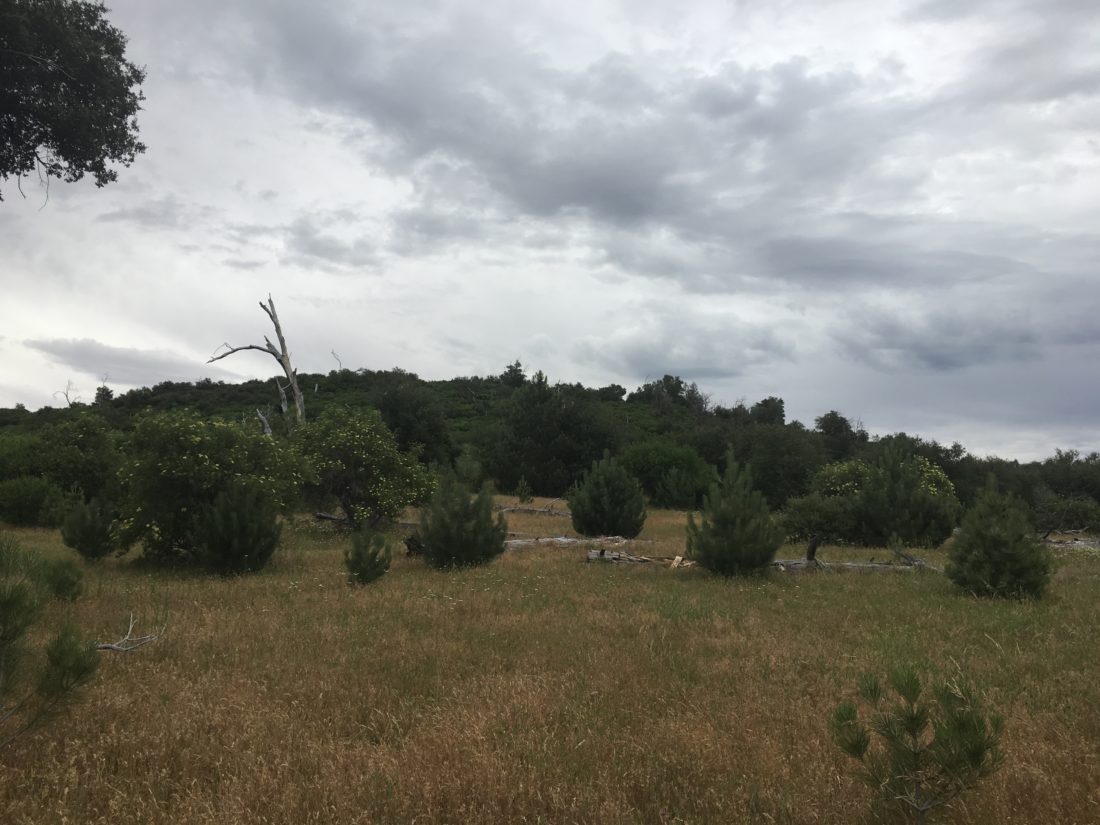
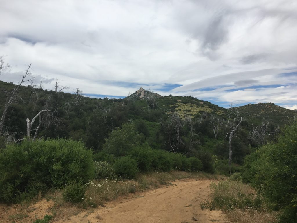
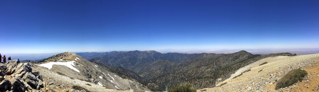
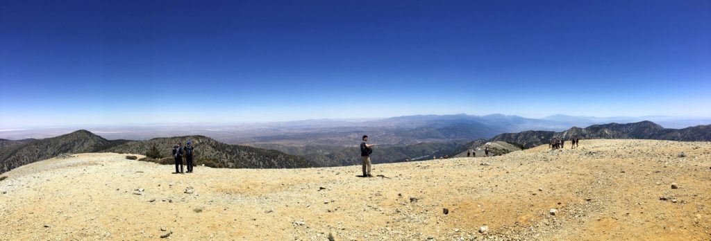
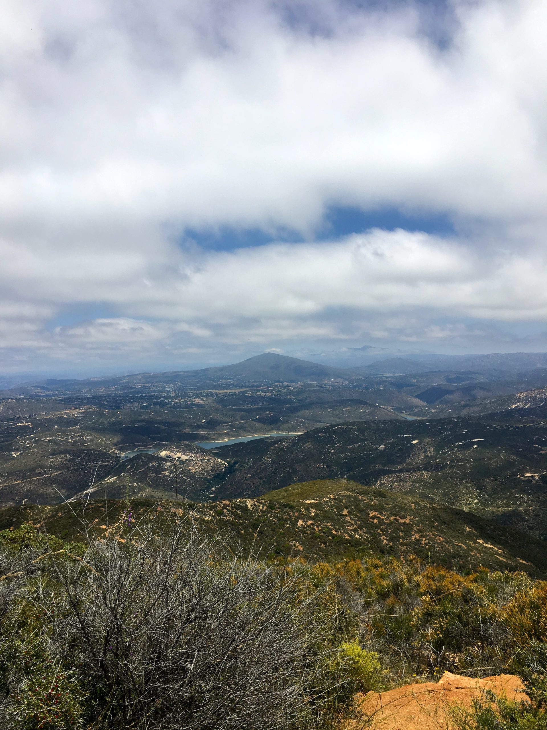
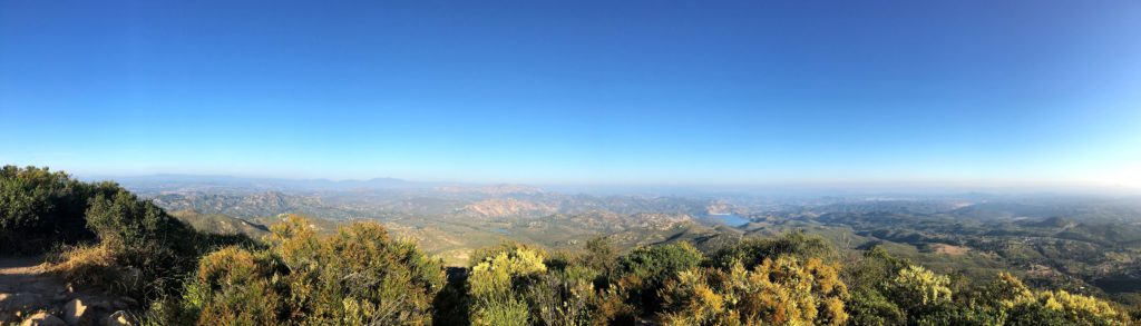
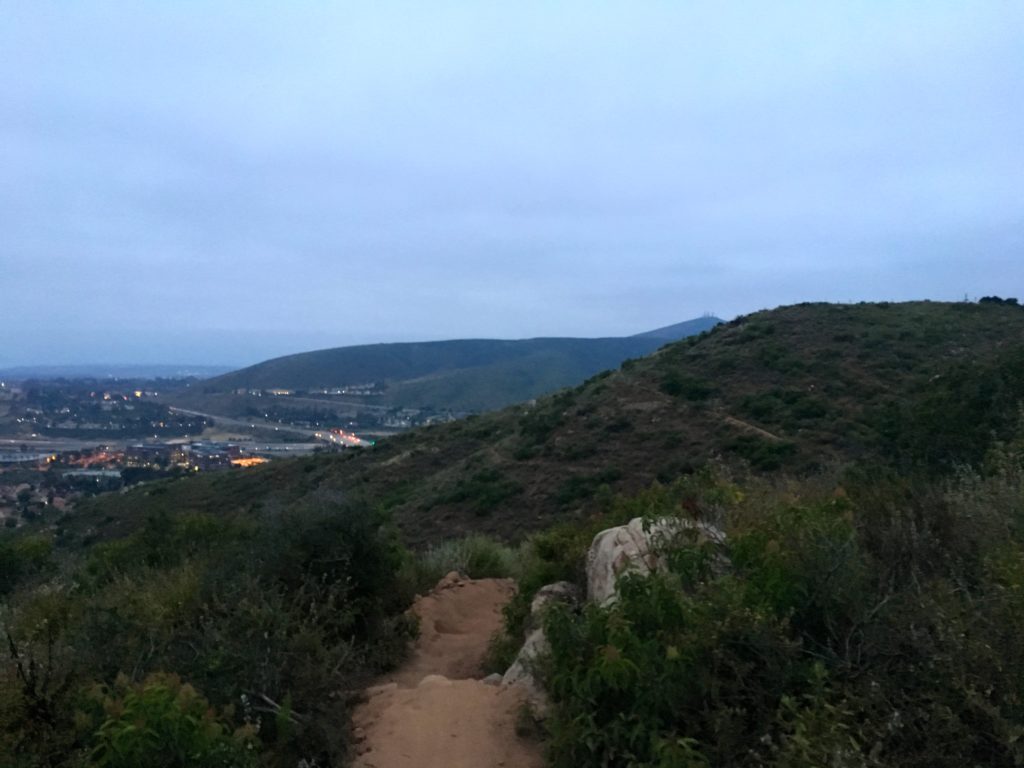
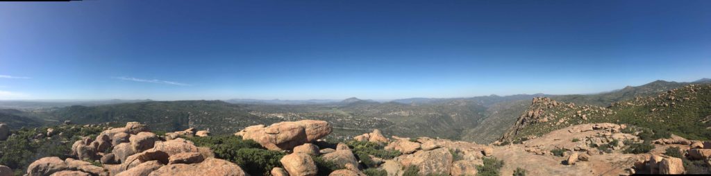
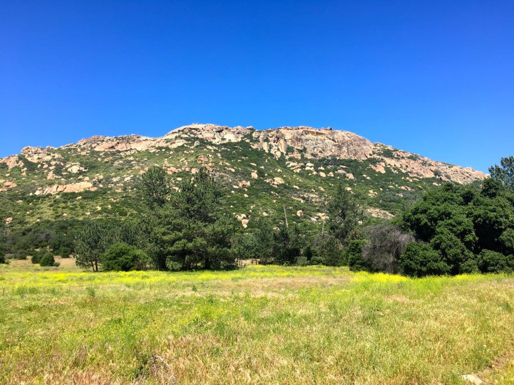
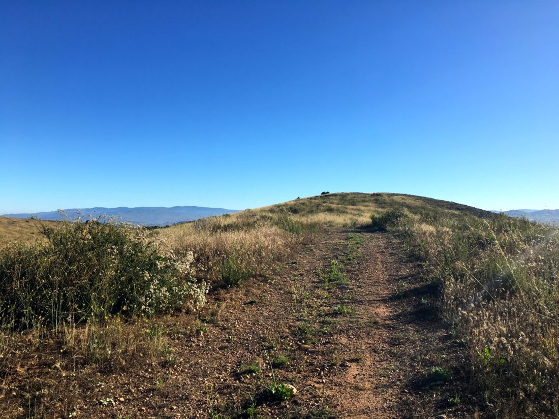
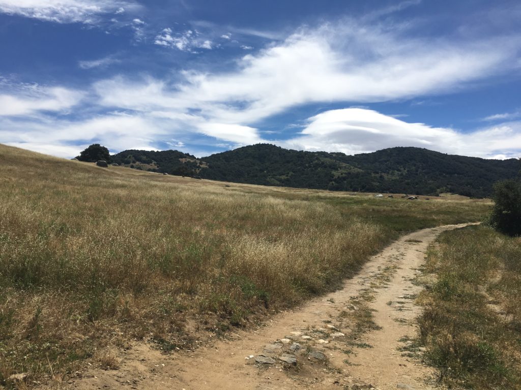
The trail gently worked its way toward near a still flowing stream, the trail crosses it before beginning to work its way up the hill. Once atop the hill, I found myself on a nice pasture. The challenge requires you to take a selfie at a specific spot, in the case of a distinct fallen tree. I continued up to it and took my photo. I surveyed the view. Initially, I was just going to hustle up to the photo spot and hustle back down. My main goal was to get another peak done on the 100 Peak Challenge, but I was so taken by the beauty of this hike, I decided to continue the loop.

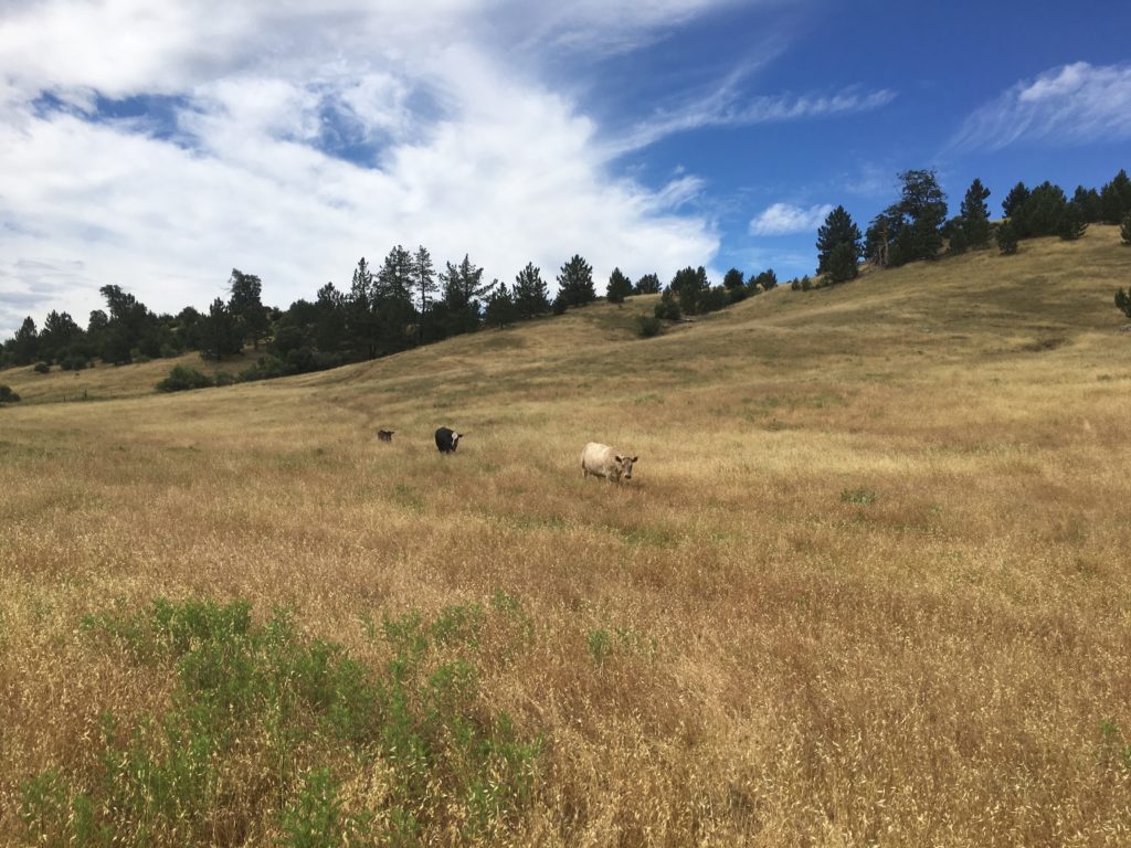
This area is an active pasture, so as I strolled along the trail, cows dotted the area. I kept a respective distance. 

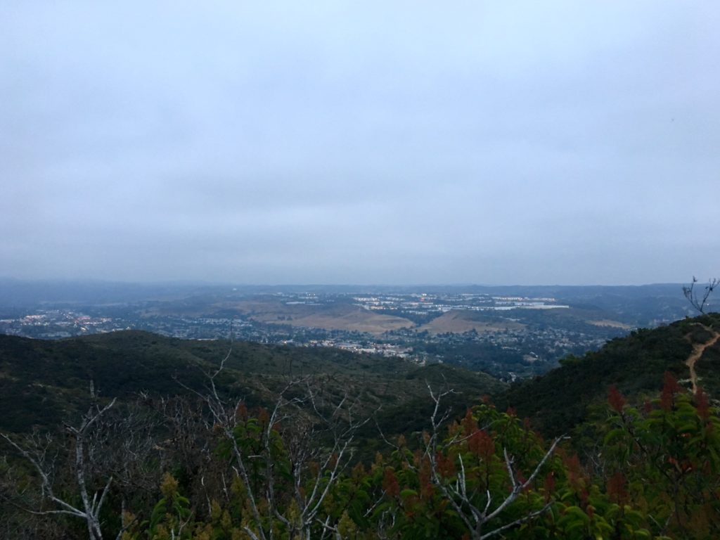
I soon found myself back at the junction to descend from the pasture. This might have been one of the nicest hikes of the challenge.

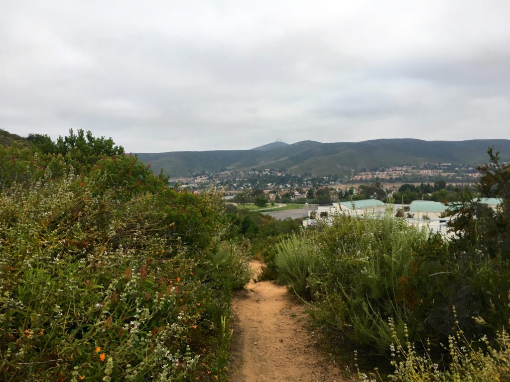
Making my way back to the car, I ran into a grandfather and his grandson out enjoying the trail. We chatted some, turns out he used to be a ranger for the park. I bid farewell and headed back to the car. Another challenge in the books! I stopped off at Wynola Pizza before heading down to summit Arrowmaker Ridge.


Buy Me a Coffee at ko-fi.com

I am an avid peak bagger, sometimes backpacker, and former sea kayaker living in San Diego. I am the co-author of Urban Trails:San Diego, coming in Spring 2026!

In 2019, I became the third person to complete the San Diego 100 Peak Challenge. Not stopping with that accomplishment, I set my sights on the harder San Diego Sierra Club 100 Peak list, which I completed in 2021. In addition, I have conquered several Six-Pack of Peaks challenges (SoCal, San Diego, Central Coast, and both the Arizona-Winter and Arizona-Summer). I am looking forward to exploring new summits and new adventures across the southwest. 

Arrowmaker Ridge

Update: Have been informed that this peak is now off-limits. It lies within the Pilcha (West Mesa) Cultural Preserve, and since there is no trail it should not be accessed. The replacement peak is now Paradise Mountain.


After completing my last hike for the 2018-2019 Coast to Crest Challenge earlier in the day, I decided to squeeze in summiting Arrowmaker Ridge. I had hoped to do it when I did my Cuyamaca loop, but time was running short and I had a 50th birthday to get to.

After refueling at Wynola Pizza, I drove down to the West Mesa trailhead and headed out. The trail initially follows the Japacha Fire Road and goes steadily upward. At the intersection with the West Mesa Fire Loop Road, it was time to leave the trail and head cross country.

I had generated a route from Google Earth to guide me once I left the fire road. Rather than a direct approach to the summit, I crossed the meadow and then kept to the southeast side of the ridge which had far less vegetation according to the satellite imagery.

For the most part, this route worked great. The summit is anti-climatic, there is no register or Benchmark. But if you are working on this challenge, this summit is a perfect one to test out your cross-country navigation skills.

I found my way back down, and with a few false starts, I crossed back through the meadow. Unfortunately, my boots and socks were covered in cattails. I picked out the worst of them, but really wished I wore my gaiters.

I hustled my way back to the car, as I realized I forgot to hang up my Adventure Pass. Thankful, no nasty gram was on the windshield. I shed my boots and socks and drove home. This was peak #43!


Buy Me a Coffee at ko-fi.com

I am an avid peak bagger, sometimes backpacker, and former sea kayaker living in San Diego. I am the co-author of Urban Trails:San Diego, coming in Spring 2026!

In 2019, I became the third person to complete the San Diego 100 Peak Challenge. Not stopping with that accomplishment, I set my sights on the harder San Diego Sierra Club 100 Peak list, which I completed in 2021. In addition, I have conquered several Six-Pack of Peaks challenges (SoCal, San Diego, Central Coast, and both the Arizona-Winter and Arizona-Summer). I am looking forward to exploring new summits and new adventures across the southwest. 

Mt. Baldy (San Antonio)

What an incredible summit today! Ted Markus and I drove back up to Mt. Baldy for the Climb For Heroes Comeback Tour event. The weather had canceled the first attempt in May. This was to be about an 11-mile round trip hike with about 4,000 feet of elevation gain topping out at 10,064 feet.

Along the way, we meet and chatted with wounded vets, and watched them climb the summit as well. Our route took us across the Devil’s Backbone, so we had quite the traverse.

It was a tough one. The final push to the summit was hard and took a lot of mental energy to ascend the last mile.

The views were incredible and the entire crew supporting this event was awesome.

This peak was the first of our A16 3 Peak Challenge. Thanks to all the sponsors for this event including Eddie Bauer.


Buy Me a Coffee at ko-fi.com

I am an avid peak bagger, sometimes backpacker, and former sea kayaker living in San Diego. I am the co-author of Urban Trails:San Diego, coming in Spring 2026!

In 2019, I became the third person to complete the San Diego 100 Peak Challenge. Not stopping with that accomplishment, I set my sights on the harder San Diego Sierra Club 100 Peak list, which I completed in 2021. In addition, I have conquered several Six-Pack of Peaks challenges (SoCal, San Diego, Central Coast, and both the Arizona-Winter and Arizona-Summer). I am looking forward to exploring new summits and new adventures across the southwest. 

Sycuan Peak

I needed to do a short test hike to see if my back was up to the challenge of attempting Mt. Baldy the next day. Sycuan Peak again fit the bill perfectly, close by, short but enough of a challenge.

As I pulled off the road near the trailhead, there was another car parked there. I headed up the old road toward the summit. The rains had made the ruts a little deeper and it was more overgrown as well.

The overcast skies made for a pleasant ascent. As I worked my way up, I wondered when I might encounter those other hikers. Just before the summit, I met the first of the two ladies who had decided to summit it as well. I asked how they picked this hike and they said they read about it in Afoot and Afield in San Diego. At the summit, I found the benchmark but no sign of any register. We chatted a bit, mostly with me recommending various other peaks to try.

They headed back down, and I poked around to see if I might see the register. The sun started to burn through the marine layer, I headed down as well. I would hear the telltale sound of a rattle off in the bushes, but nothing on the trail. I caught the ladies again and continued on.

The back held up fine and I am ready to tackle Mt. Baldy! This peak was #42 of my 100 Peak Challenge Reboot!


Buy Me a Coffee at ko-fi.com

I am an avid peak bagger, sometimes backpacker, and former sea kayaker living in San Diego. I am the co-author of Urban Trails:San Diego, coming in Spring 2026!

In 2019, I became the third person to complete the San Diego 100 Peak Challenge. Not stopping with that accomplishment, I set my sights on the harder San Diego Sierra Club 100 Peak list, which I completed in 2021. In addition, I have conquered several Six-Pack of Peaks challenges (SoCal, San Diego, Central Coast, and both the Arizona-Winter and Arizona-Summer). I am looking forward to exploring new summits and new adventures across the southwest. 

Iron Mountain

Iron Mountain is another peak that I have done multiple times throughout the years. This peak is a great one to do with the full moon, so I looked up the moon’s cycle and marked down the possible dates. I initially figured this might be a July or August hike, but the stars aligned and we were able to do it in June.

Ted Markus happily tagged along as we set off under the ornate trailhead sign. The trail then passes under a canopy of trees, the only shade you will find on the trail, which is very typical of many of the hikes in San Diego.

Neither of us was set on racing up the peak, so we just put it into cruise mode. The trail goes eastward for a bit before turning southward and beginning to snake its way up to the summit.

We encountered a few hikers along the trail. Much of the hike was spent talking about our recent high school graduates…

There were two hikers at the summit. We took a short break and enjoyed the views. I pointed out Mt. Gower to Ted and the rough route we took.

Heading back down, the full began to rise over the mountains while the sun began to descend into the marine layer. We encountered an organized hike working their way up to the summit about a third of the way down.

As we reached the flat portion of the hike, we captured the glow of the sunset and turned around just as the moon rose above the summit of Iron Mountain. A perfect ending to the hike.


Buy Me a Coffee at ko-fi.com

I am an avid peak bagger, sometimes backpacker, and former sea kayaker living in San Diego. I am the co-author of Urban Trails:San Diego, coming in Spring 2026!

In 2019, I became the third person to complete the San Diego 100 Peak Challenge. Not stopping with that accomplishment, I set my sights on the harder San Diego Sierra Club 100 Peak list, which I completed in 2021. In addition, I have conquered several Six-Pack of Peaks challenges (SoCal, San Diego, Central Coast, and both the Arizona-Winter and Arizona-Summer). I am looking forward to exploring new summits and new adventures across the southwest. 

Van Dam Peak

Since I had to pick up my daughter from her high school grad night party at 5:00 AM, I figured I might as well get a quick hike since I was up. I could not do anything major since we were sending my son off to be a counselor at Camp Ramah later in the morning. Van Dam Peak fits the bill perfectly.

This time I opted to explore it from the east side. I parked across from the elementary school and began heading up the trail. It was clear that this route is heavily used by mountain bikers, as the trail had been customized with jumps and banked turns. I was glad to be doing this in the pre-dawn and not worrying about being taken down by a rider. The chirping of birds filled the air, along with the cars traveling along the 15. The route to the top was just under .7 miles. The summit is marked by a graffitied concrete slab.

The June Gloom kept the sunrise from being seen. To the northwest was Black Mountain, and to the east was Twin Peaks.

After a few quick photos, I headed back down the trail. Instead of returning the same way, I opted to make this trek into a loop. The east side is crisscrossed with trails, again, mostly for mountain bikes, so I had to check the satellite view to make sure I was on the best path down.

The trail led me down to a gravel road behind some houses. Following it for a bit, an entrance to the street was available. Instead, I took a narrow trail that would lead me back to the car without using the street. This trail was a bit overgrown and offset the mountain bike elements on the other trails.

This trail rejoined the trail almost where I started. It was nice to have solitude on this hike, it gave me some time to reflect on my twins’ graduation and their new adventures ahead of them. I got in the car and picked up breakfast for my son at iHop and headed home. This was my #40 summit of my 100 Peaks Challenge!


Buy Me a Coffee at ko-fi.com

I am an avid peak bagger, sometimes backpacker, and former sea kayaker living in San Diego. I am the co-author of Urban Trails:San Diego, coming in Spring 2026!

In 2019, I became the third person to complete the San Diego 100 Peak Challenge. Not stopping with that accomplishment, I set my sights on the harder San Diego Sierra Club 100 Peak list, which I completed in 2021. In addition, I have conquered several Six-Pack of Peaks challenges (SoCal, San Diego, Central Coast, and both the Arizona-Winter and Arizona-Summer). I am looking forward to exploring new summits and new adventures across the southwest. 

Bayside Trail

For most visitors to the Cabrillo National Monument, they will head to the visitor’s center, then the statue of Juan Rodriguez Cabrillo, then eventually make the small climb to view the Old Lighthouse. But as you work your way up the paved road toward the lighthouse, there is a sign pointing indicating the start of the Bayside Trail.

This ‘peak’, is actually a reverse peak. Derek wanted something along our coast for the challenge, and this hike, although inverted fit the bill.

Once you reach the turn-off from the road, the trail turns to a wide rocky dirt path. A nice bench sits at the top, so that might be a welcome sight upon your return.

The trail works it is way down along the cliffside for 1.6 miles until it ends with a nice view of San Diego Bay. When you are done with the view, you get to hike back up the trail.


Buy Me a Coffee at ko-fi.com

I am an avid peak bagger, sometimes backpacker, and former sea kayaker living in San Diego. I am the co-author of Urban Trails:San Diego, coming in Spring 2026!

In 2019, I became the third person to complete the San Diego 100 Peak Challenge. Not stopping with that accomplishment, I set my sights on the harder San Diego Sierra Club 100 Peak list, which I completed in 2021. In addition, I have conquered several Six-Pack of Peaks challenges (SoCal, San Diego, Central Coast, and both the Arizona-Winter and Arizona-Summer). I am looking forward to exploring new summits and new adventures across the southwest. 

Mount Gower

With my sister and her family arriving later in the afternoon, I decided to get a peak in before they landed. Derek had mentioned he would like to do another training hike up Mt. Gower, and I needed to summit it again. My last summit was on Dec 24, 2018, so just on the wrong side of the calendar. Unfortunately, the first heatwave of the season hit San Diego. The initial forecast was to be in the 90s. We figured with a sunrise start we should be ok.

We drove out to the end of Gunn Stage Road and parked next to the locked gate. A use trail led us over a small rise and onto the main trail in front of ‘TeePee’ rock. From there we began working our way along the trail.  It is always nice to hike with a friend, conversations can certainly make the miles tick away faster.

Passing a lush green meadow, we soon began the push up the mountain. The small bumps we crossed over would not be fun on the way back. Think of it as a mini El Cajon mountain hike.

We passed by the Gower Teeth and soon found ourselves on the granite slabs that surround Mt Gower. While most people will continue upward toward False Gower, we followed a use trail that took us southward. Derek would check his route as we worked our way toward the true summit which sits at the south end of the peak.

Some water was still flowing in some spots making it a tad slick in a few spots. We weaved our way across an open space until we found the route again. Soon rock cairns and Derek’s route had us back on the trail. Soon the true summit came into view. We sat and enjoyed the view and signed the register. The heat was rising so, we knew we needed to start back down.

We began retracing our steps back down. As we crossed back past Gower’s Gate, the heat was starting to take its toll. I began conserving energy as we headed back.

Both Derek and I were completely shocked as we encountered another hiker heading up. Not only were we questioning going up in this heat, but he had no hat or sunglasses. Oh well. I later saw another check-in on peakbagger.com and it turns out this hiker has been bagging peaks left and right.

The heat continued to build and I was starting to suffer. I took a nice break in the little shade I could find. Derek kept pushing forward and I kept my pace at what I could handle.

Once I reached the turnoff to the water tank, I texted Derek I was going to bail here and wait for him to reach the car and drive back and pick me up. I just did not have the energy to descend into the canyon and then back up again.

This was the same starting point I used the first time, so I knew what I was doing. As I walked down the asphalt road, the telltale sounds of a rattlesnake filled the air. Since I was in the middle of the road, I kept on walking. I reached the culdesac and found some shade to wait under. I finally broke down a looked at the actual temperature, 100°F! Yikes! That was a bit more than we planned for and explains why I faded so badly. Derek made it back to the car after a small route-finding error and a shade break as well. Soon he arrived and I climbed into the air-conditioned car. We were both amazed at how hot it got! We agreed that if we knew that it was going to be that hot, we would have found something else to have hiked. But we also realized we both knew what we needed to do to push through the heat.

But I can proudly say that Mt. Gower is now summited for my 100 Peak Challenge! #38!


Buy Me a Coffee at ko-fi.com

I am an avid peak bagger, sometimes backpacker, and former sea kayaker living in San Diego. I am the co-author of Urban Trails:San Diego, coming in Spring 2026!

In 2019, I became the third person to complete the San Diego 100 Peak Challenge. Not stopping with that accomplishment, I set my sights on the harder San Diego Sierra Club 100 Peak list, which I completed in 2021. In addition, I have conquered several Six-Pack of Peaks challenges (SoCal, San Diego, Central Coast, and both the Arizona-Winter and Arizona-Summer). I am looking forward to exploring new summits and new adventures across the southwest. 

Morena Butte

With the first heatwave of the season arriving, it was a reminder that I needed to be selective with my peaks. For example, the county closes El Cajon Mountain and Mt. Gower during the month of August due to the heat.

Morena Butte is certainly one of these peaks. This peak was a special one, as it was my first peak after my first bout of plantar fasciitis. For that summit, I opted to take the dam route. This time I decided to follow the more traditional route that follows part of the PCT before heading up the south side of the Butte. I paid 3 dollars and parked near the trailhead. As I worked my way along the service road, the screech of a Golden Eagle filled the air. Soon I reached the turnoff that would connect with the PCT.

The shade was welcomed, but the bugs were not. Wildflowers still doted the sides of the trail. The route is well marked and I was only pulling my phone out for photographs.

Given my timing, I did not expect to encounter any PCTers on the trail. Again, a nice sign indicated the turnoff to begin the proper ascent of Morena Butte.

This trail begins working its way up from what had been a fairly flat hike so far. The rains this year have made the brush in some sections a tad thick. While there were a few steeper sections, the climb was fairly manageable. As the summit drew nearer, the trail began to fade away, but there were plenty of rock cairns to guide the way.

Once upon the Butte, it was a nice stroll to the high point of the south butte. The wind was gusting around 20-30 mph, so I knew I was not going to be hanging out too long. I scrambled up to where the register was. While looking at the views, my hat blew off into the brush below.

I signed the register and scrambled through the brush to retrieve my hat. I debated about venturing over to the other two high points but opted not to. Once I found the trail again, I made my way back down and onto the PCT. As I neared one of the junctions, I debated if I should return the same way or venture back on the other route. It was getting a tad warm, so I headed back along the same route. At the next junction, I remembered that this section had two parallel tracks, so I opted for the eastern track.

The upside of the wind, the bugs were being kept at bay. The old road eventually reconnected with the service road. I strolled back to the car, again thinking of how far I have come since my first time up to the top of this peak.


Buy Me a Coffee at ko-fi.com

I am an avid peak bagger, sometimes backpacker, and former sea kayaker living in San Diego. I am the co-author of Urban Trails:San Diego, coming in Spring 2026!

In 2019, I became the third person to complete the San Diego 100 Peak Challenge. Not stopping with that accomplishment, I set my sights on the harder San Diego Sierra Club 100 Peak list, which I completed in 2021. In addition, I have conquered several Six-Pack of Peaks challenges (SoCal, San Diego, Central Coast, and both the Arizona-Winter and Arizona-Summer). I am looking forward to exploring new summits and new adventures across the southwest. 

Ramona Benchmark

One of the advantages of doing this challenge again is for many of the peaks, I have a sense of the trail and the amount of effort it takes to reach the summit. Another factor is where the peak is. Since the heat in Anza-Borrego postponed my first attempt, I also needed to be aware of the heat for many of the inland peaks. Ramona Benchmark fell into that category.

Since I had an event in the afternoon, a short hike was exactly what I needed and this one fits that perfectly. The entire hike is just 3.5 miles and the actual elevation gain is around 880 feet. The “June Gloom” had been chased away as I quietly crossed the grasslands toward the service road to the ridgeline. A few bunnies scampered about in the early morning light.

The service road worked it is way upward, I was concerned that the rains might have rutted the road. I was pleasantly surprised to find it in good condition.

Once the road reaches the ridgeline, the trail turns north and gently works its way to an iron bench that denotes the top of the peak.

After a quick break, I headed back down the ridge. I did encounter two other hikers photographing the remaining wildflowers.

I made my way back to the car, glad to have done this peak in the early morning, as this one could be a really hot one.


Buy Me a Coffee at ko-fi.com

I am an avid peak bagger, sometimes backpacker, and former sea kayaker living in San Diego. I am the co-author of Urban Trails:San Diego, coming in Spring 2026!

In 2019, I became the third person to complete the San Diego 100 Peak Challenge. Not stopping with that accomplishment, I set my sights on the harder San Diego Sierra Club 100 Peak list, which I completed in 2021. In addition, I have conquered several Six-Pack of Peaks challenges (SoCal, San Diego, Central Coast, and both the Arizona-Winter and Arizona-Summer). I am looking forward to exploring new summits and new adventures across the southwest.