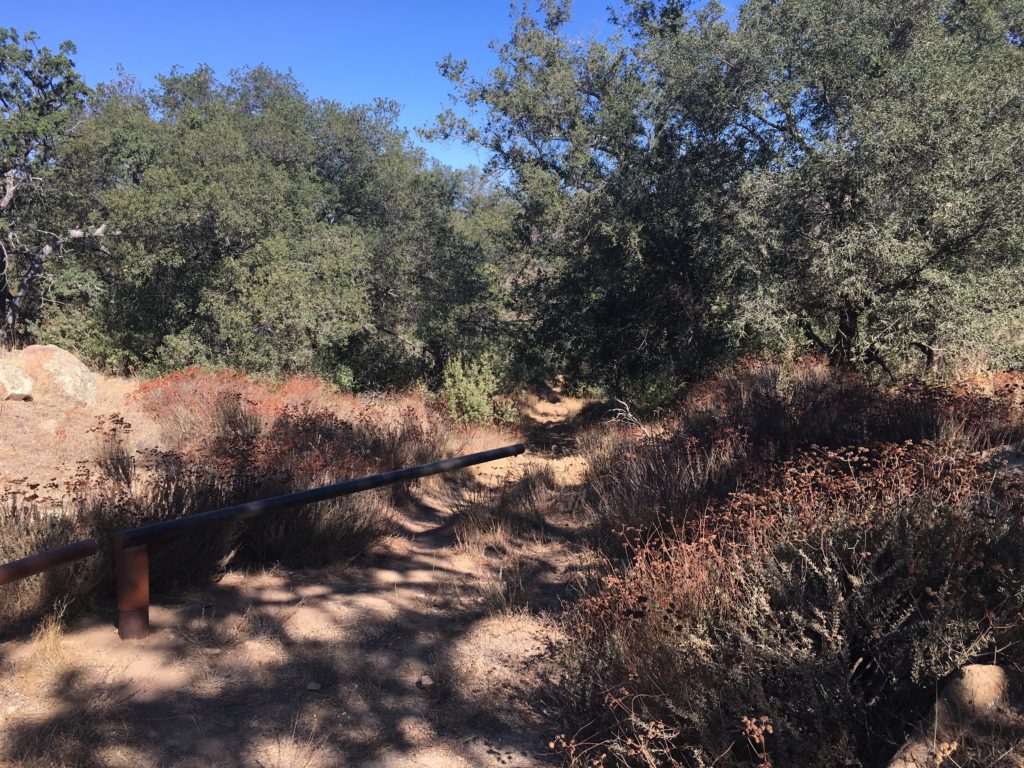
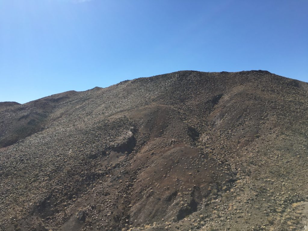
The second hike of the day was up to Red Hill. The ‘trailhead’ was very close to the turnoff to Mine Benchmark. I use trailhead loosely, while there is a nice parking area right off the S2 and an informational sign, there isn’t a trail. So across the flat desert, I headed, weaving my way past the chollas, my summit stood clear out, as it certainly earned the name Red Hill. This summit is covered in the aftermath of volcanic activity. Following my map and GPS, I soon found myself at the base of the peak, I scanned the various routes up, picking one I began my climb upward.
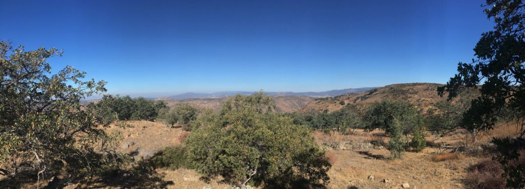
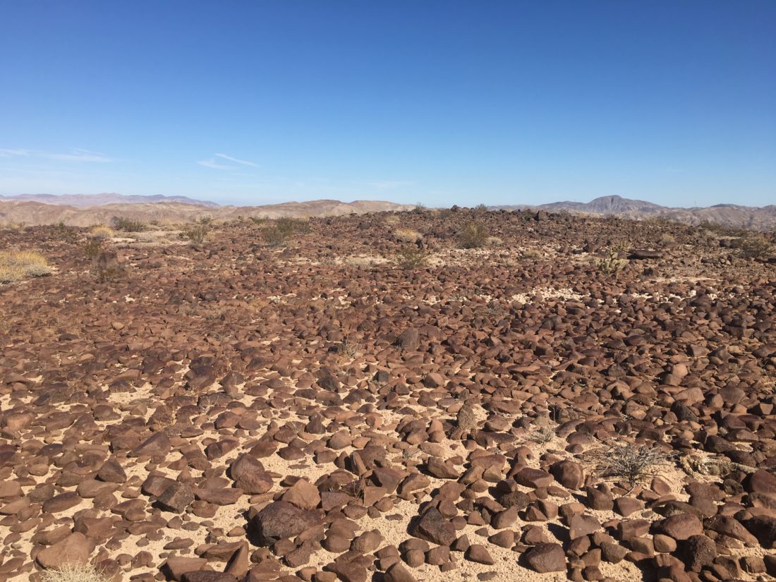
As I worked my way eastward toward my planned route, the terrain changed from the ‘standard’ desert I have been hiking on all day, to that of more red rock.
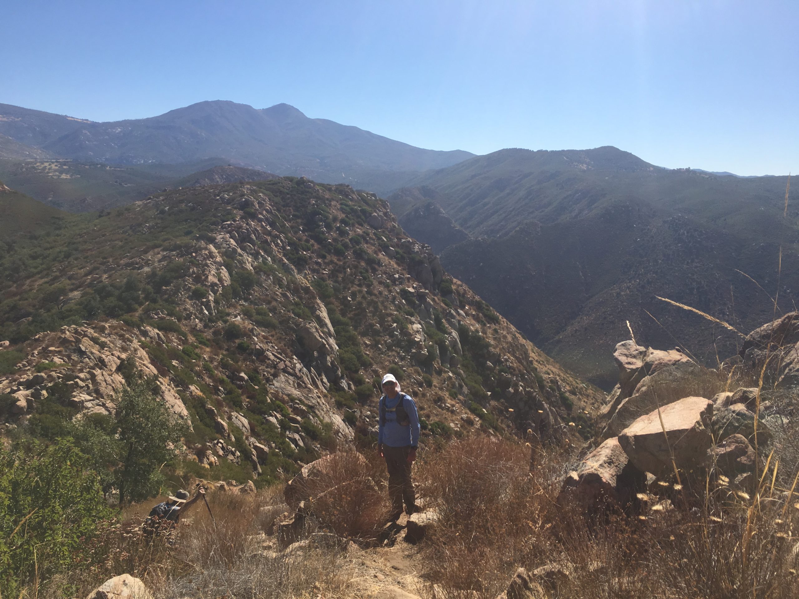
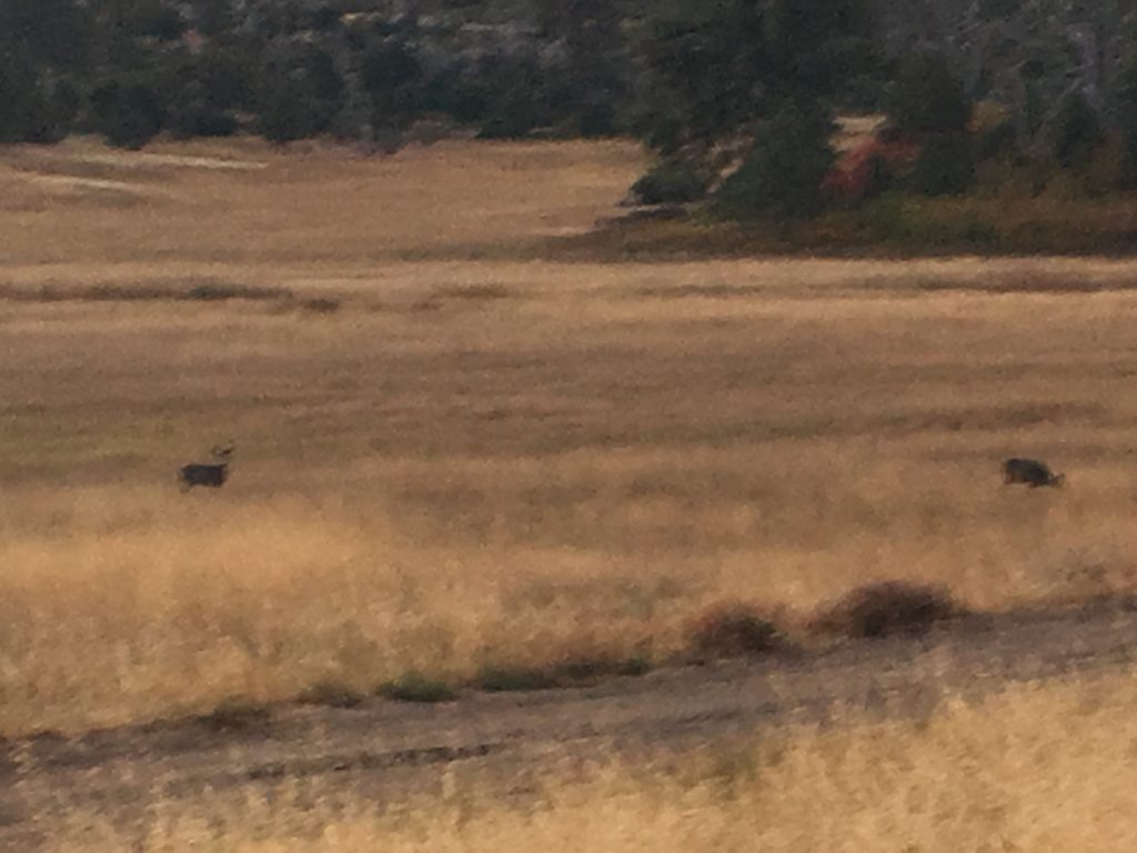
With the summit drawing near, I began to pick my way through the rockier ground, taking care with each step. I did not want to turn an ankle with a misstep. (although I had better cell coverage out these hikes than I do at my home in Penasquitos!) Soon, I found myself on the summit plateau, a vast field of red rocks spread out before me.

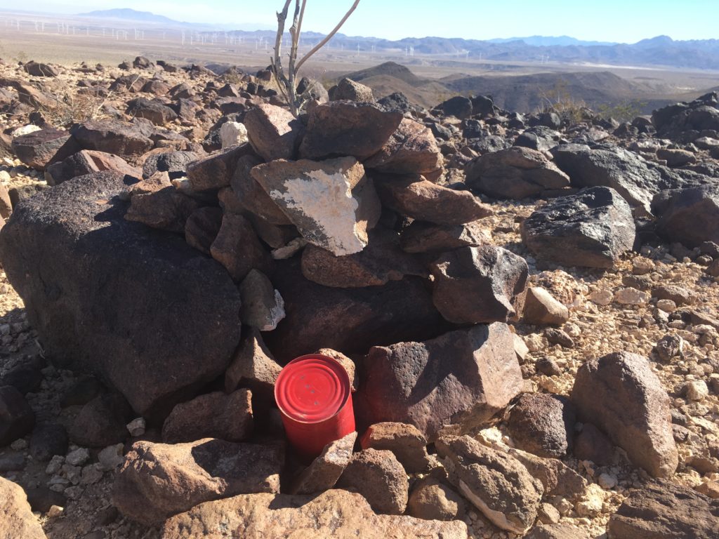
According to my topo map, the high point was near the southern end, where I did find the register wedged in a small rock cairn.
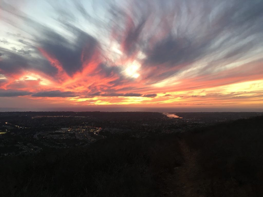
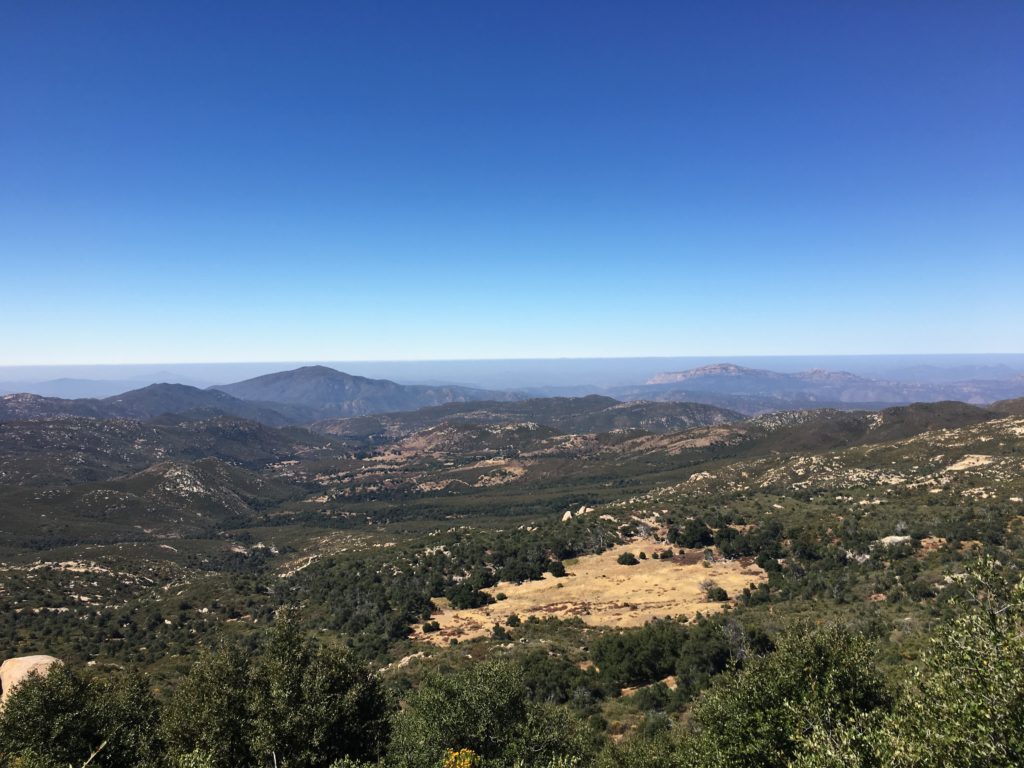
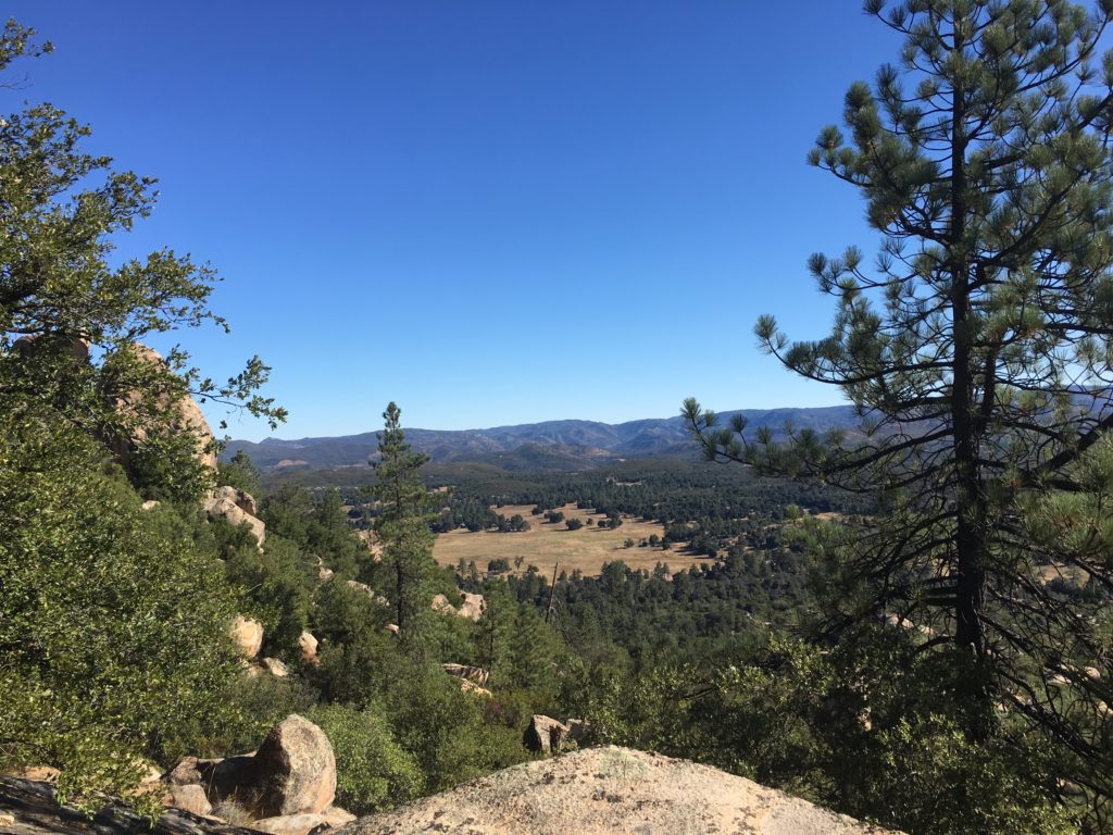
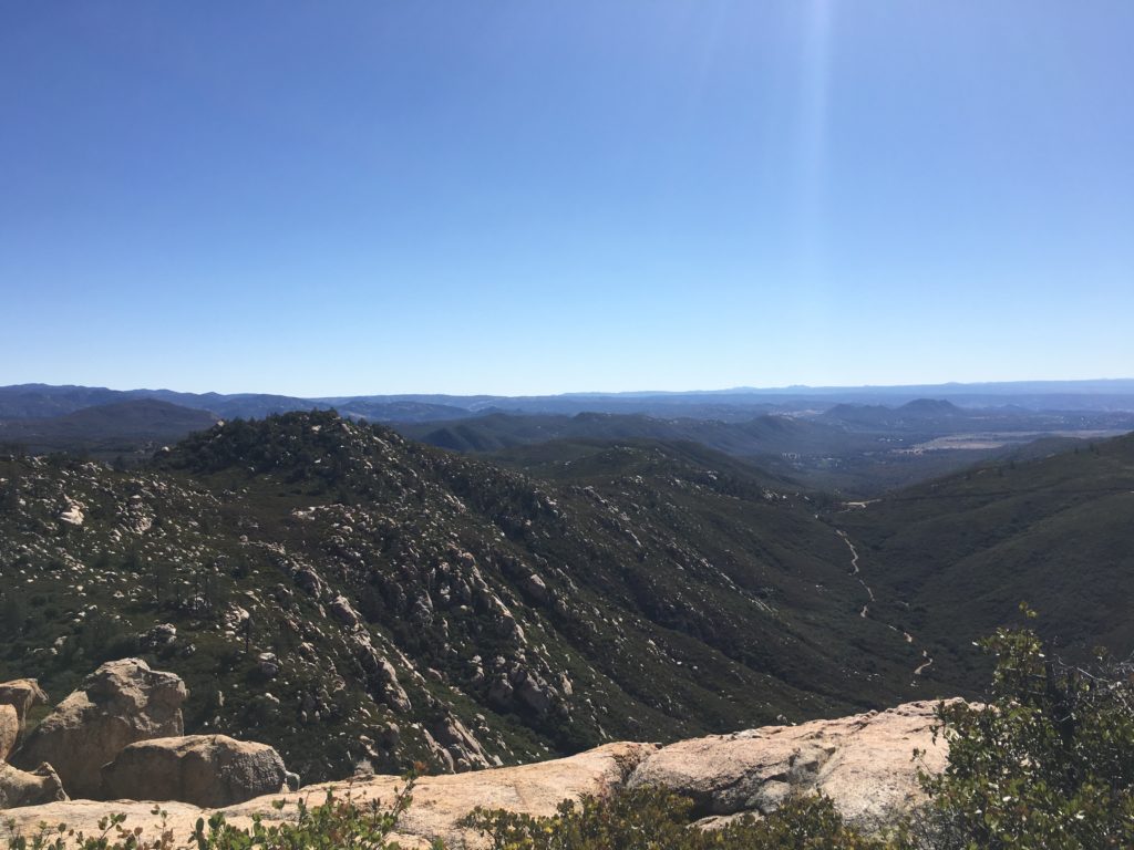
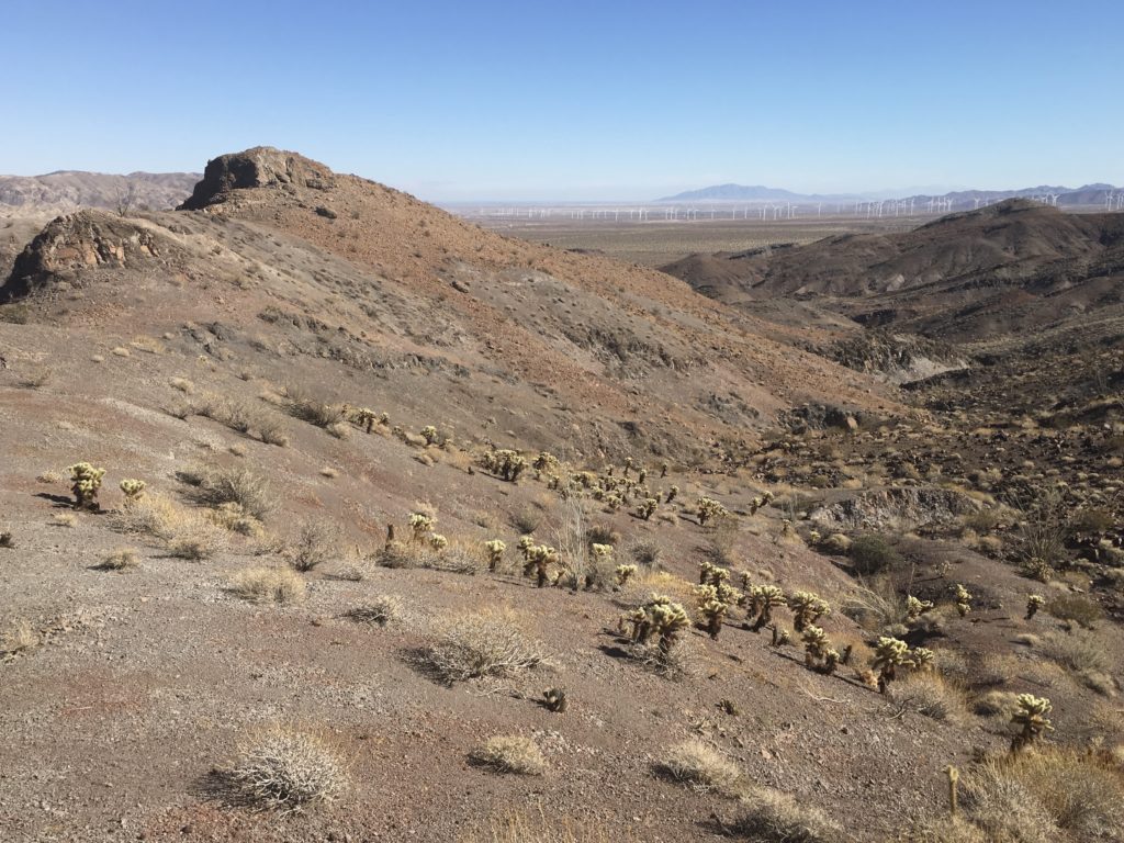
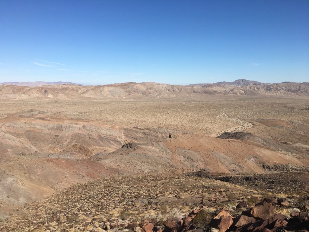
The views were stunning from the summit, I think in part because I was feeling proud of completing two solo desert hikes.


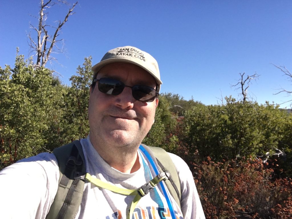
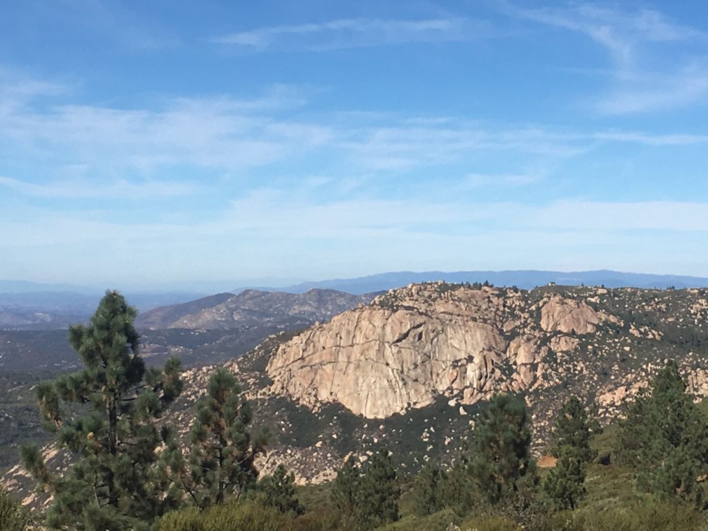
I am an avid peak bagger, sometimes backpacker, and former sea kayaker living in San Diego. I am the co-author of Urban Trails:San Diego, coming in Spring 2026!
In 2019, I became the third person to complete the San Diego 100 Peak Challenge. Not stopping with that accomplishment, I set my sights on the harder San Diego Sierra Club 100 Peak list, which I completed in 2021. In addition, I have conquered several Six-Pack of Peaks challenges (SoCal, San Diego, Central Coast, and both the Arizona-Winter and Arizona-Summer). I am looking forward to exploring new summits and new adventures across the southwest.