UPDATE: Access to this trailhead is no longer possible due to a gate along Landmark Lane.
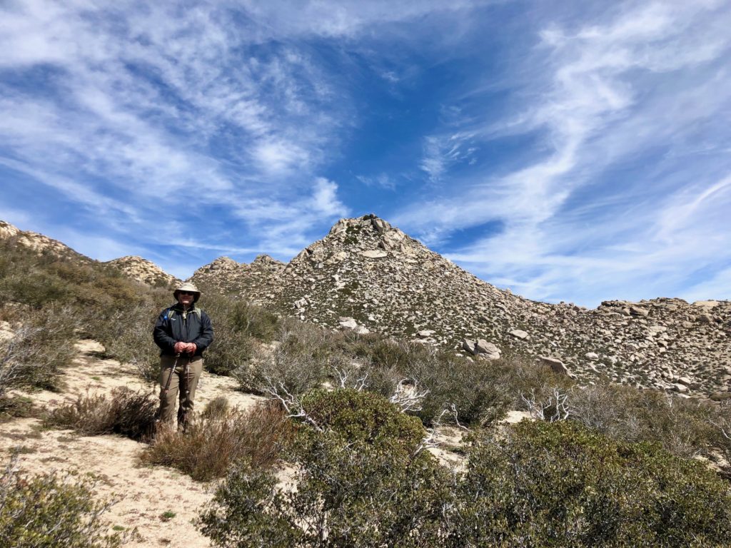
After two failed attempts at summiting The Thimble (see here for those trip reports), I headed back out to try again. Originally, fellow 100 Peaker, Gail Welch, was going to guide me up, but she took a tumble on the ice and was out of commission. Matt Hanan, an SD100 Peaker, had to do solo Dad duty, so I headed out to Ranchita alone.
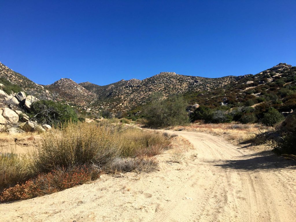
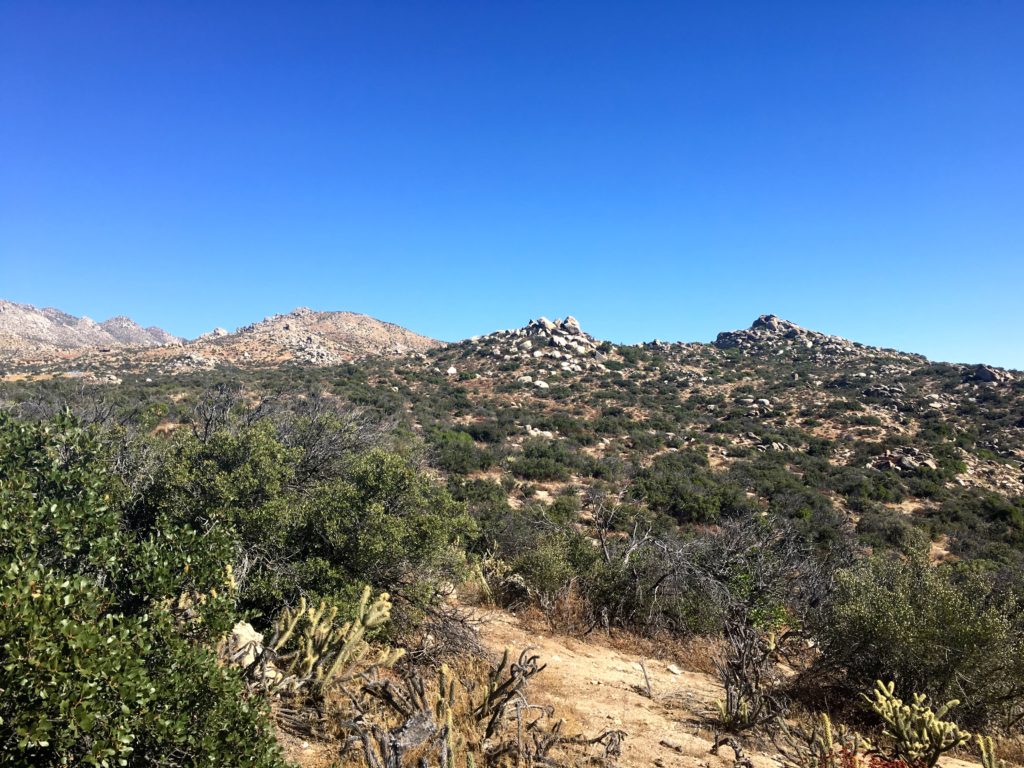
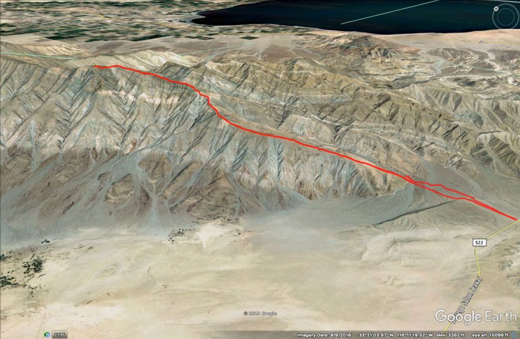
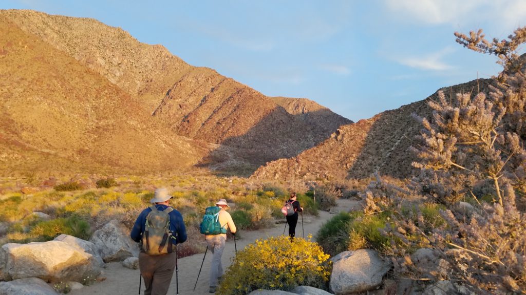
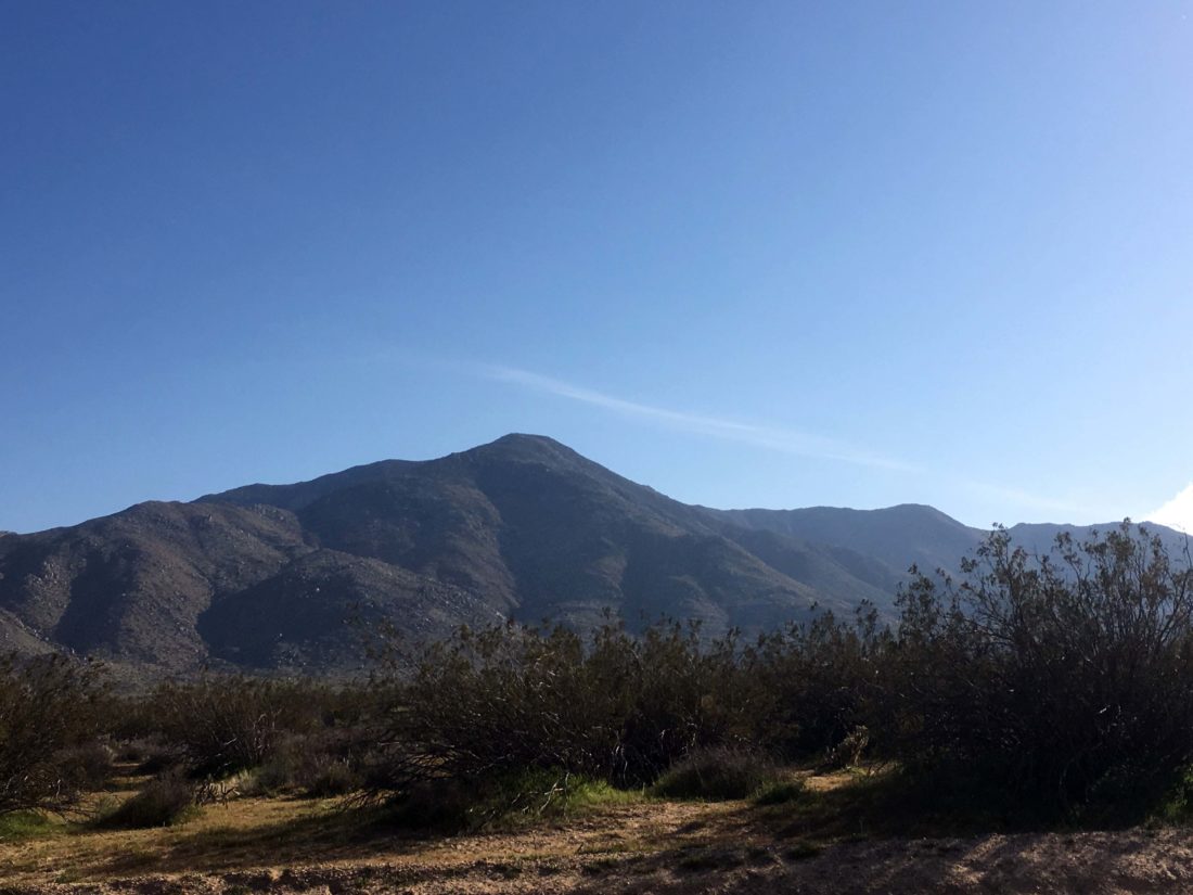
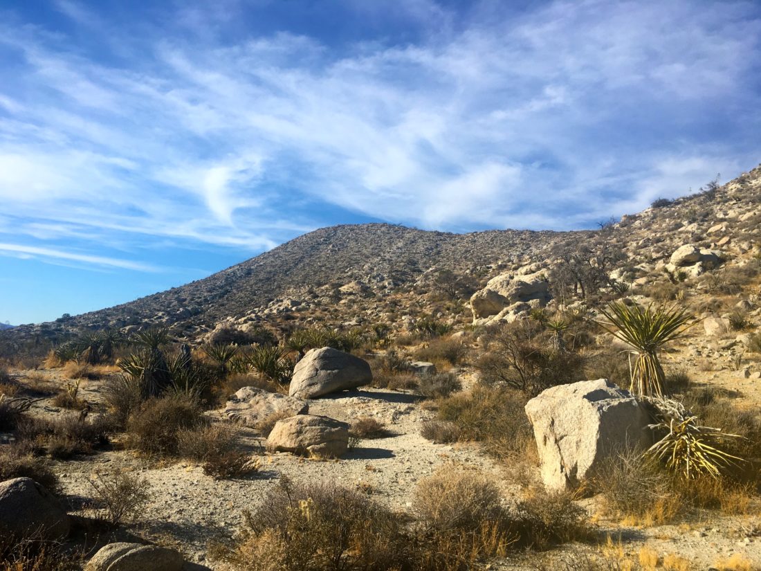
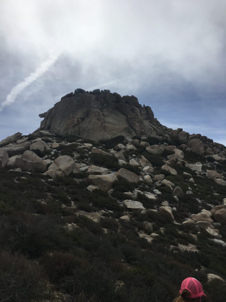
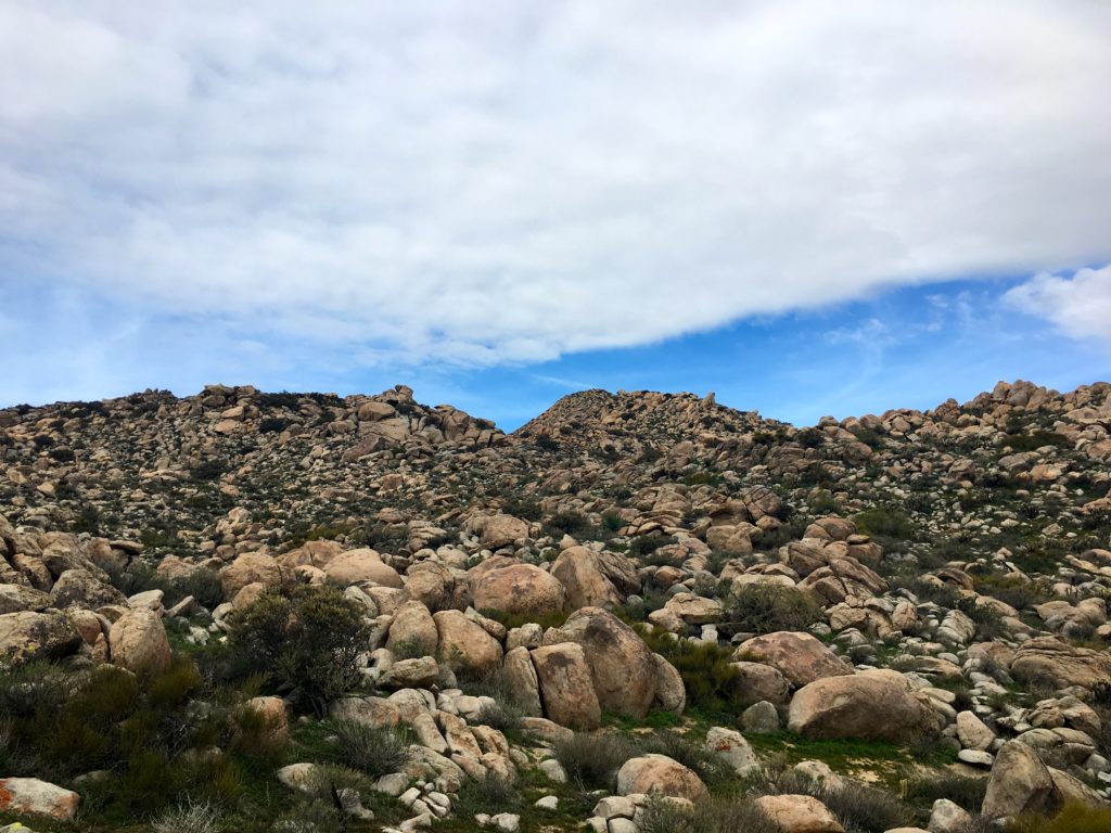
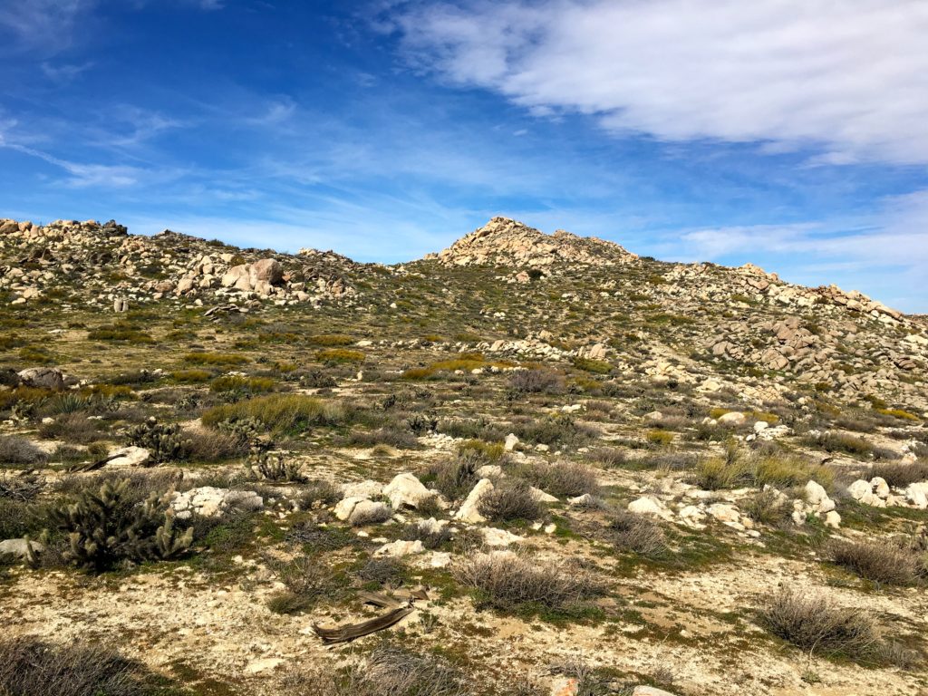
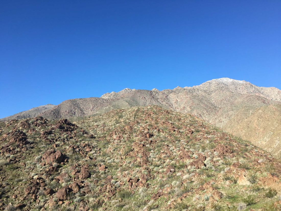
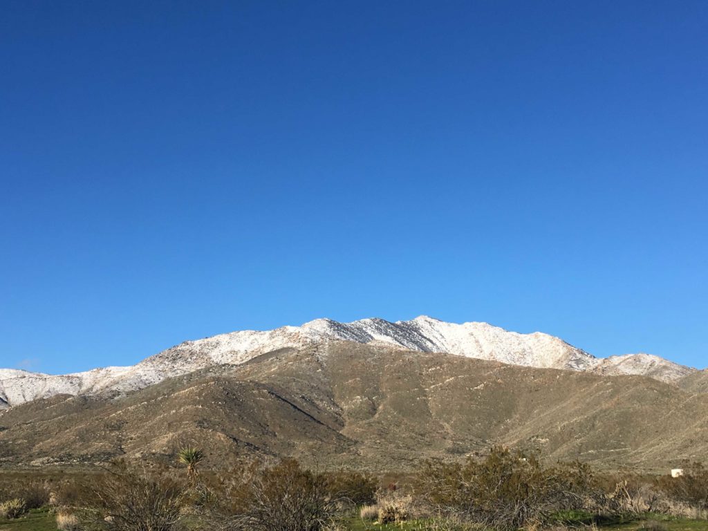
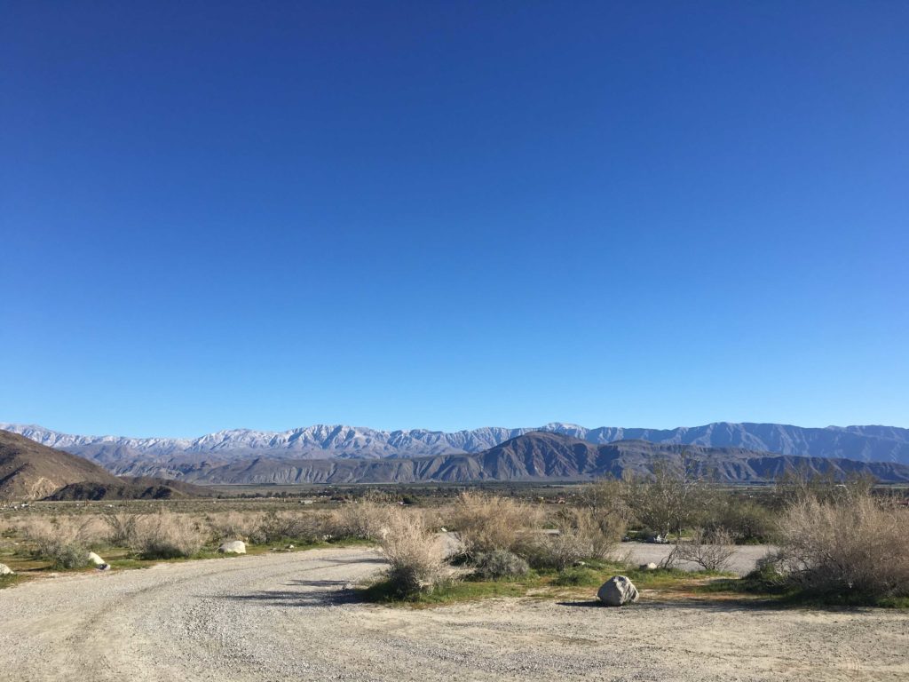
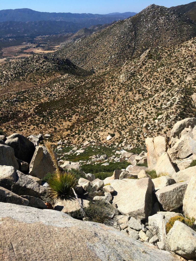
Pulling into my now familiar turnout, I headed out along the road toward my challenge. A nice breeze kept the temperatures pleasant as I worked my way up the road. Just past the crest in the road, my first view of The Thimble came into view. I studied it, imposing face and attempted to scout out my route up it. I had a GPS track from Hann Asoy’s successful summit, so I had that to fall back on, but I wanted to try this on my own.


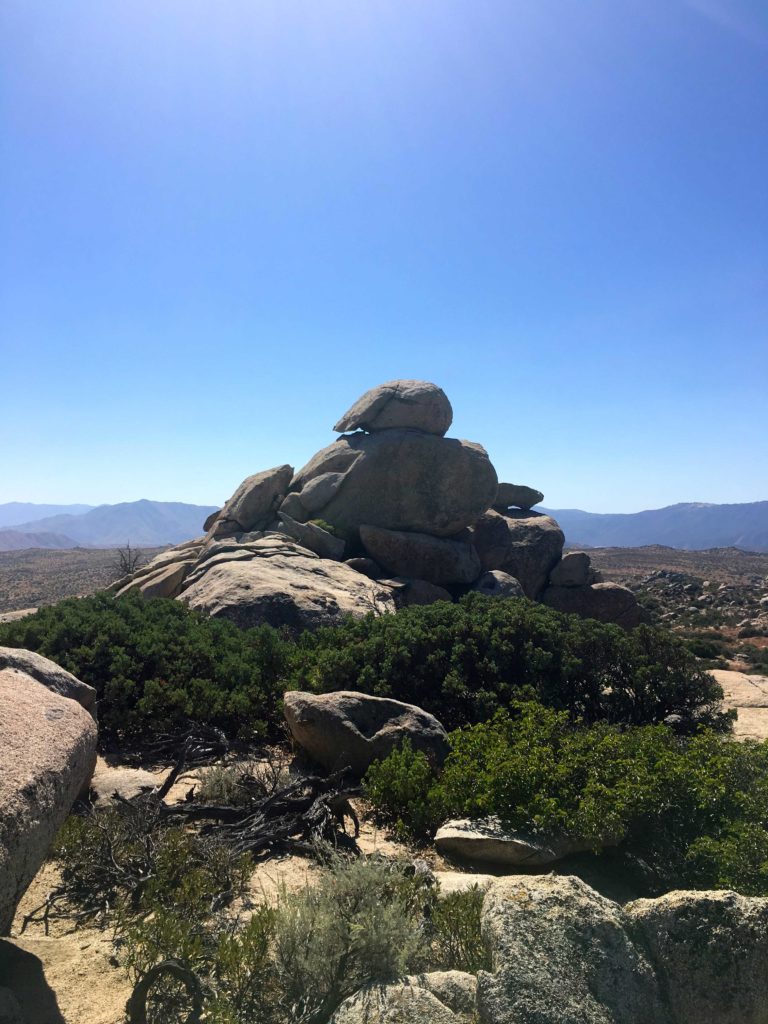
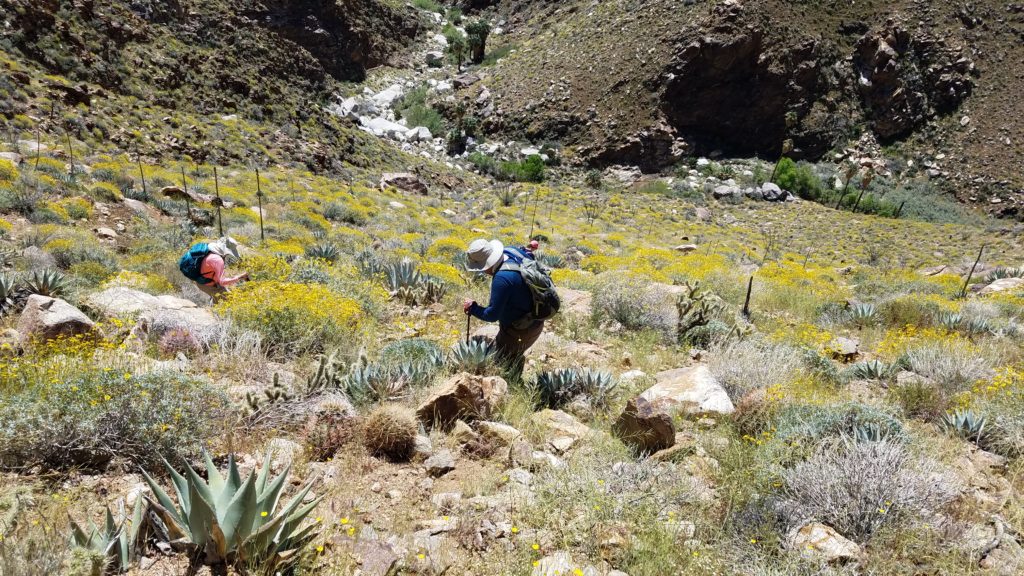
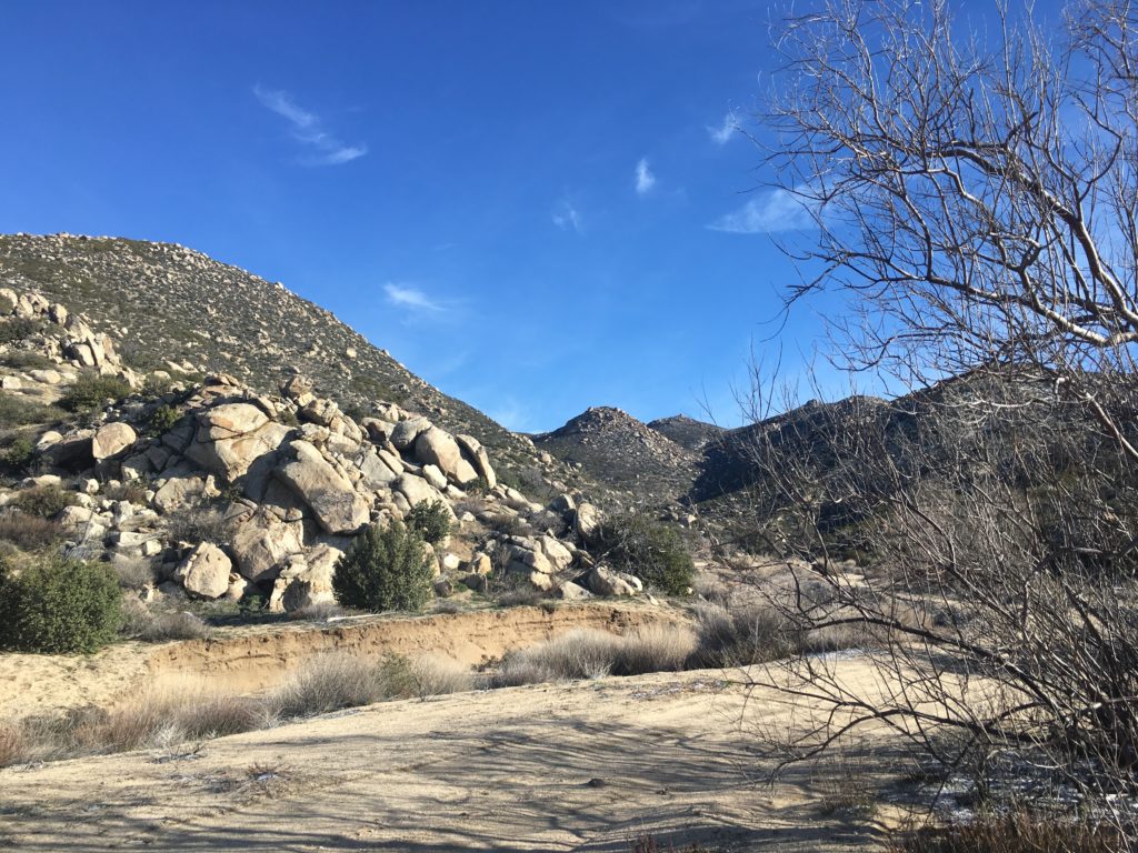
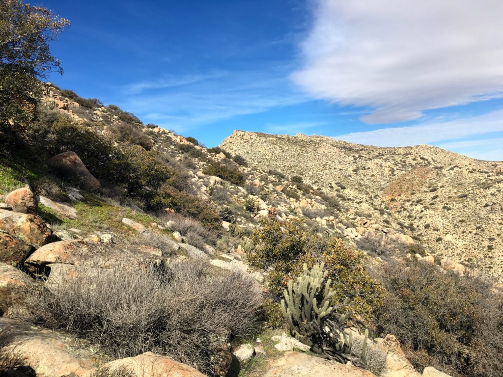
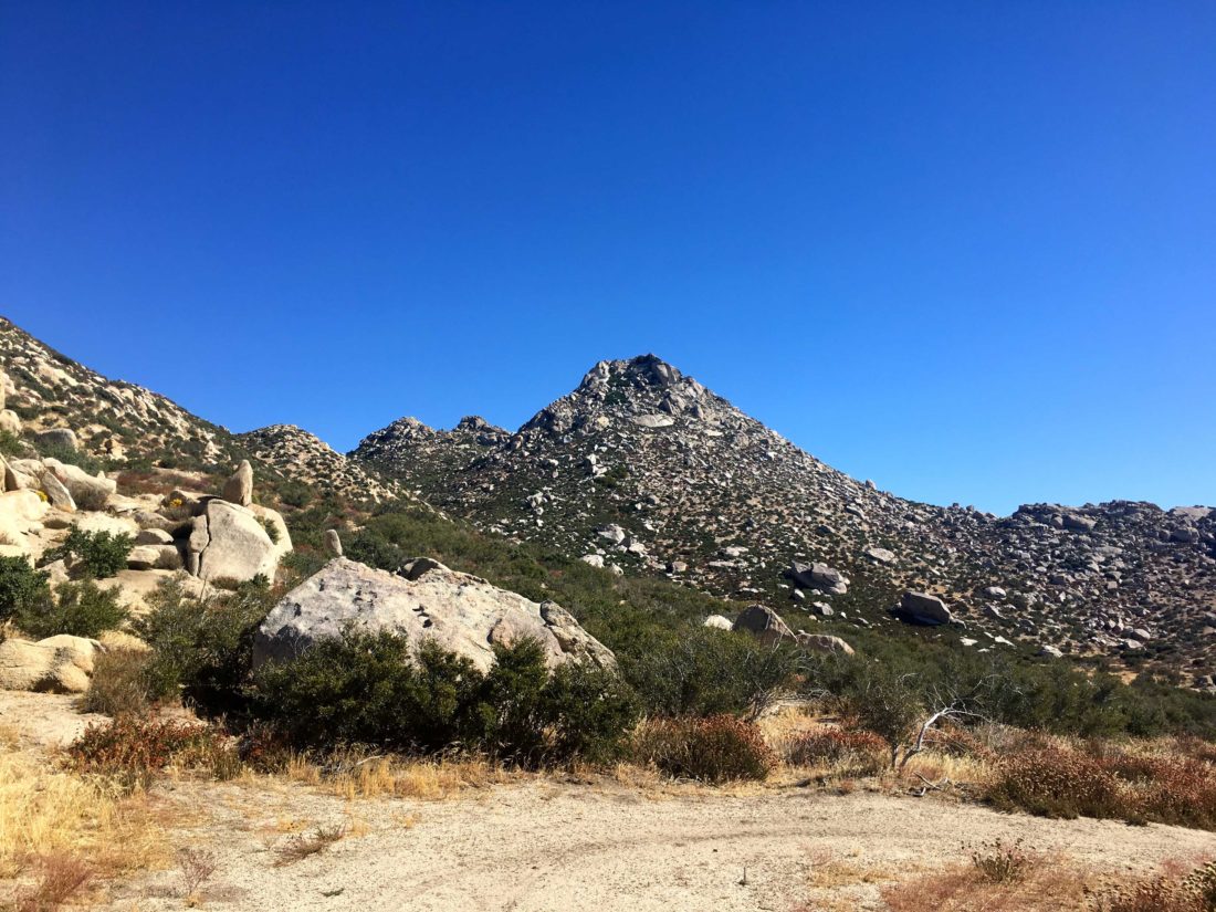
I worked my way up through the brush looking for the end of the barbed wire fence. The route gets close to some of the private property, so I was trying to be mindful. The slope quickly grew steep, somewhere between 30% and 50%. My route weaved around the granite boulders and past the brush, and once in a while I did need to push through some to continue my climb.
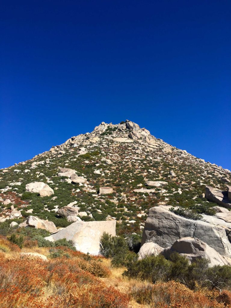
As I drew near the summit, a thicket of brush stood before me. I tried seeing if there was a route to the left side, but it was too thick. Nothing appeared in the middle. I was thinking I might need to descend and look for an alternate route. I texted my wife and let her know my status. I figured I still had another 30 minutes of climbing ahead of me.
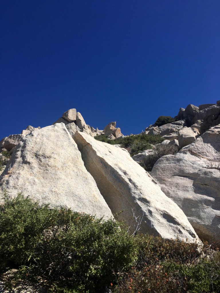
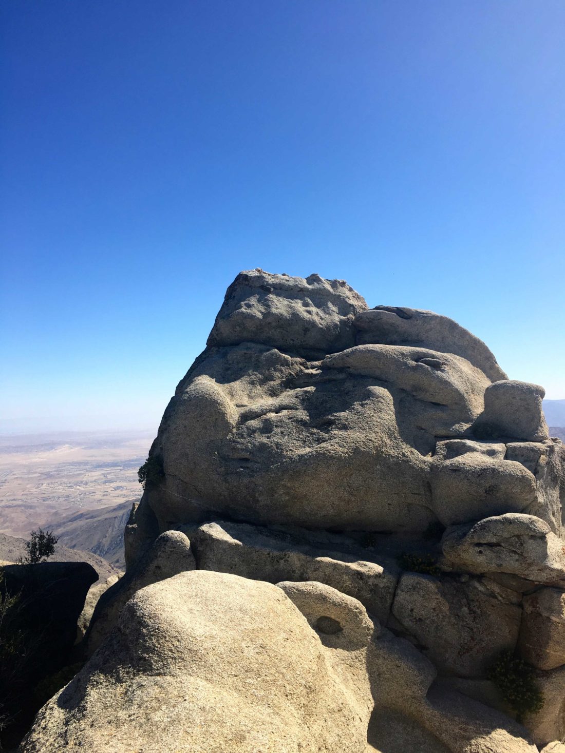
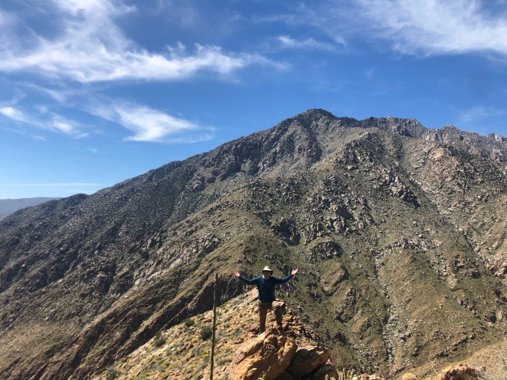
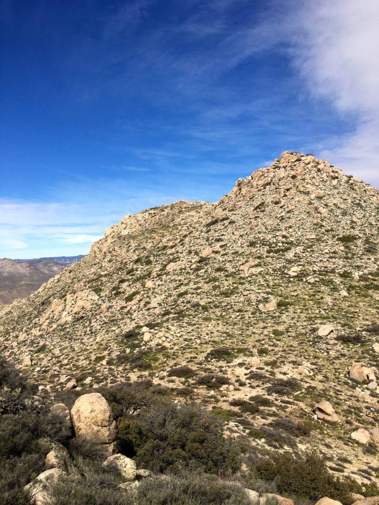
I decided to see if there might be a path near a large granite boulder to the right, and there was! I squeezed past the brush, and the summit lay before me. So much for another 30 minutes of climbing!
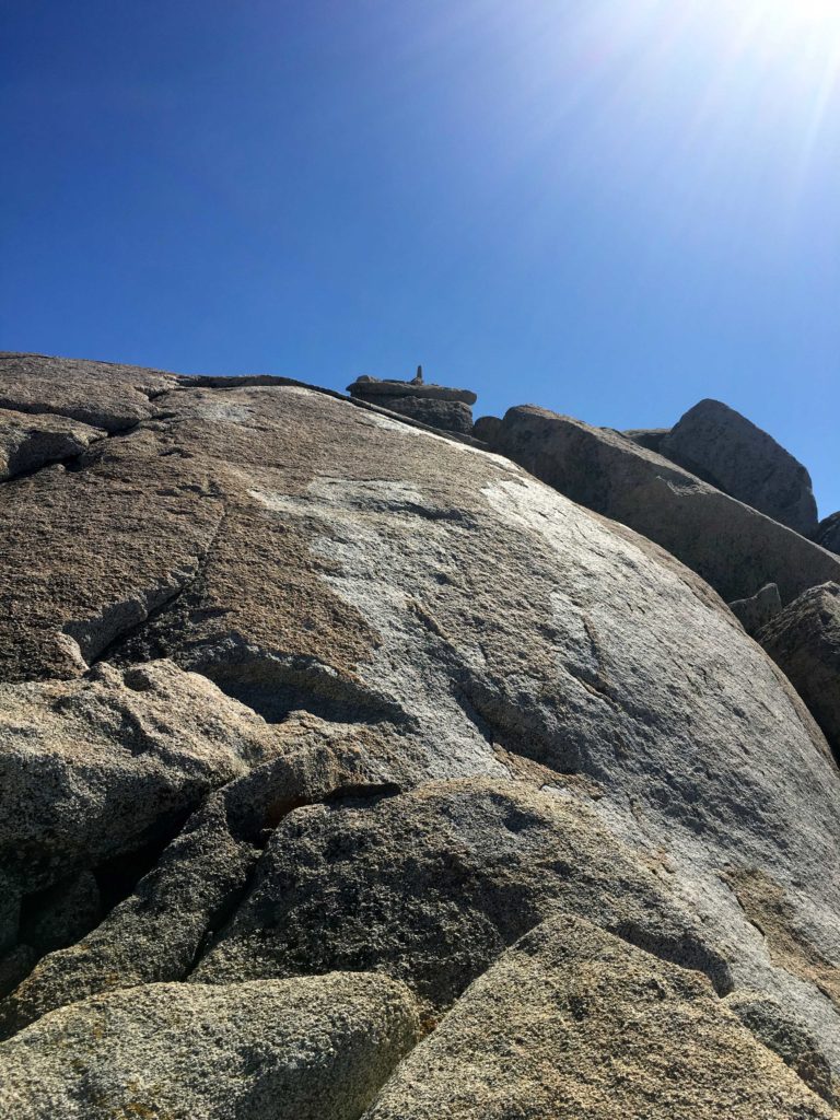
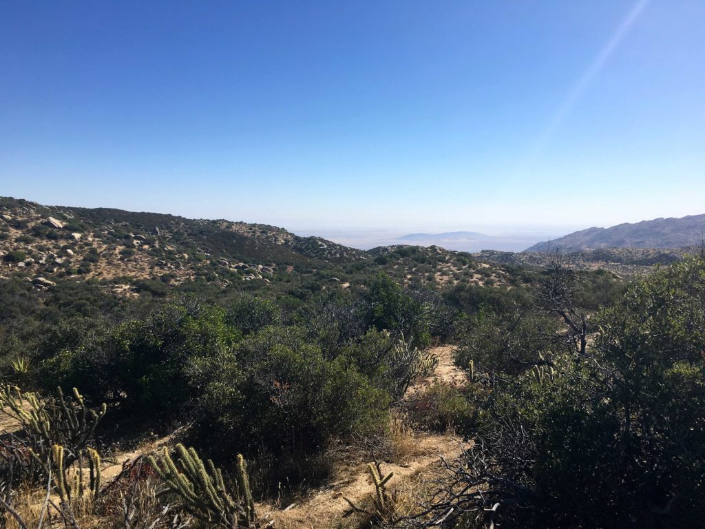
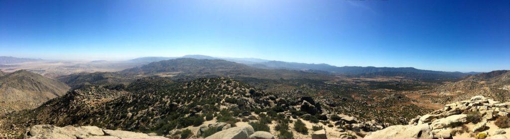
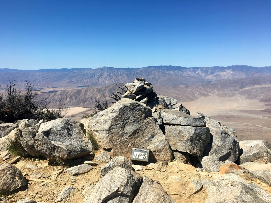
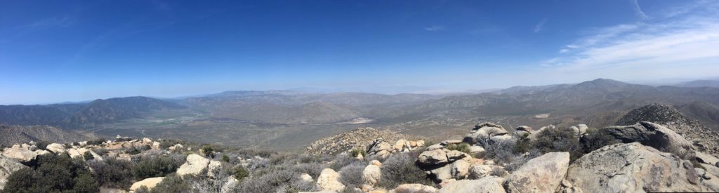
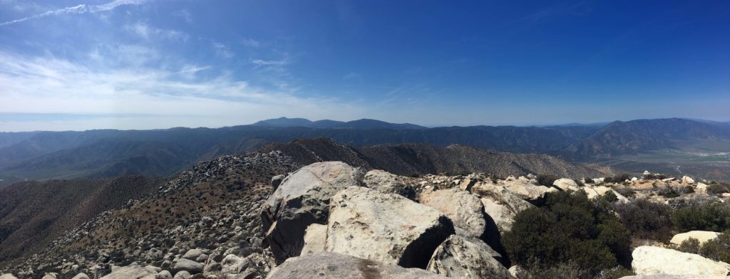
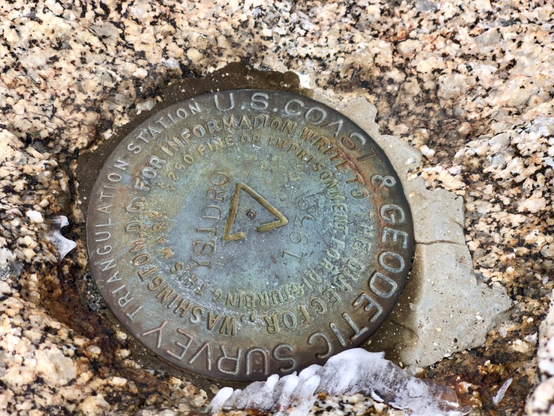
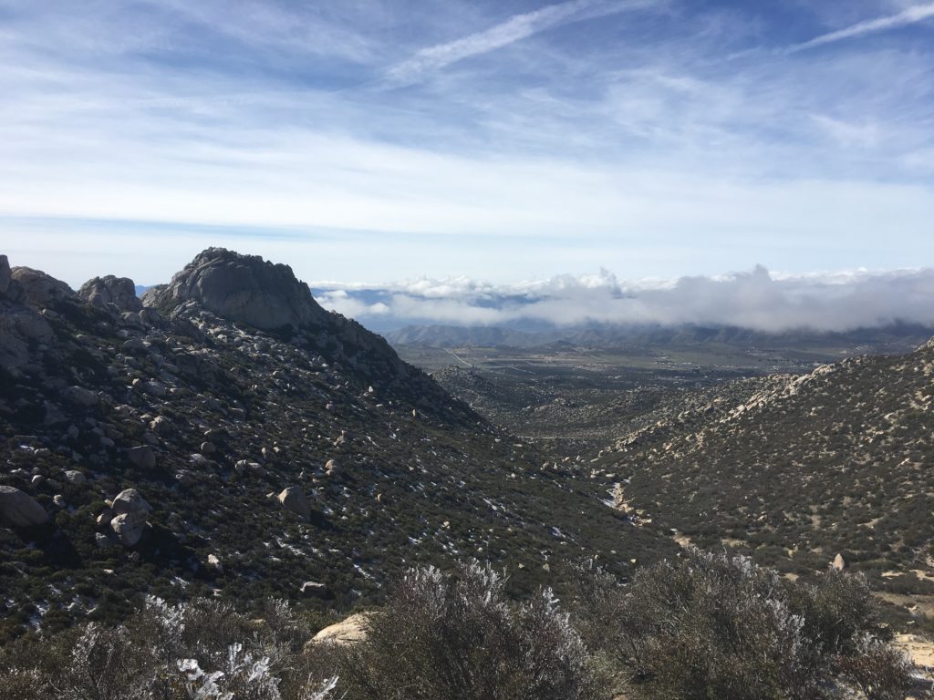
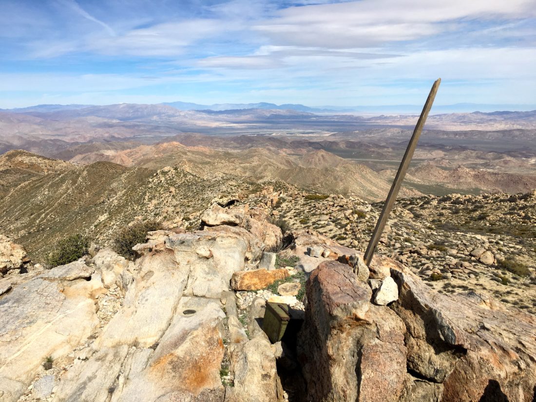
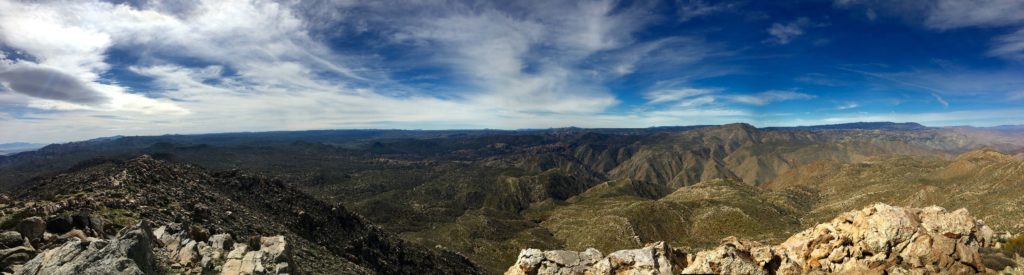
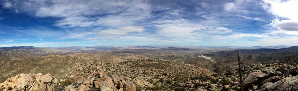
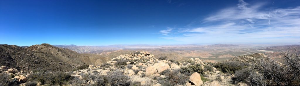
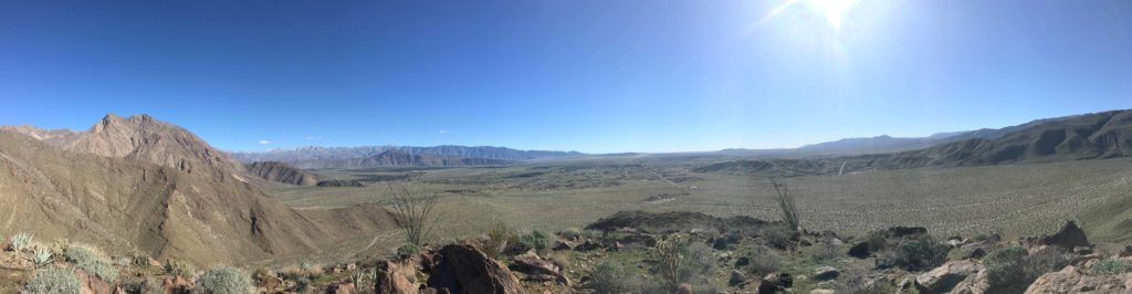
Sadly, the register seems to be missing, but the views were incredible! I might have let out a shout upon reaching the top… The Thimble had been conquered! San Ysidro stood to the north, Bonny, and White to the south. The Salton Sea was visible in the distance.


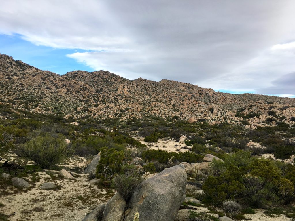
After a brief break, I began a careful descent. It is almost easier to find a nicer path when going down. Once off the peak, I cruised back down to the car, stopping at the Ranchita General Store for some cold drinks before the drive home.
With that, my #78 peak of #100PeakChallenge was done!


I am an avid peak bagger, sometimes backpacker, and former sea kayaker living in San Diego. I am the co-author of Urban Trails: San Diego, coming in Spring 2026!
In 2019, I became the third person to complete the San Diego 100 Peak Challenge. Not stopping with that accomplishment, I set my sights on the harder San Diego Sierra Club 100 Peak list, which I completed in 2021. In addition, I have conquered several Six-Pack of Peaks challenges (SoCal, San Diego, Central Coast, and both the Arizona-Winter and Arizona-Summer).
I am looking forward to exploring new summits and new adventures across the southwest.